Giebelberg Adventure
A gravel cycling route starting from Freudenberg
Embark on an epic gravel adventure through diverse terrain and captivating landscapes
Map
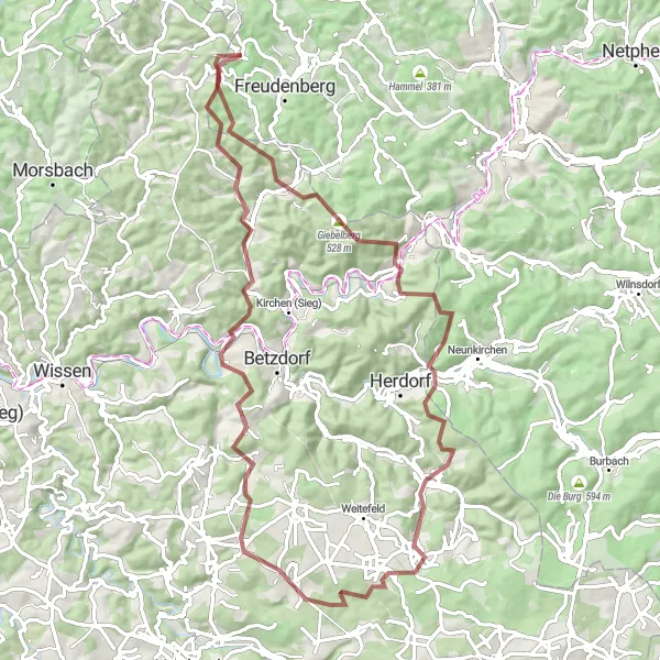
The Giebelberg Adventure is a thrilling gravel expedition that spans 78 kilometers and includes an ascent of 1969 meters. This route will take you through diverse terrain, from dense forests to open meadows, offering a truly immersive cycling experience. Along the way, be prepared to encounter highlights such as Giebelberg, Mahlscheid, Daaden, Steinerother Kopf, and Molzberg. These highlights showcase the natural beauty and cultural heritage of the Arnsberg region, making this ride truly unforgettable.
gravel
78 km
1969 m
Tough
Route profile
Highlights on the route
0 km
0 km
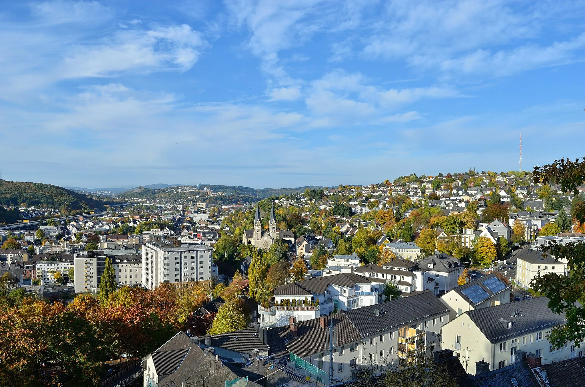
Start: Hohenhain Village centerFreudenberg: A cyclist's gateway to picturesque routes and nature
Freudenberg is a town in Arnsberg, Germany. From a cyclist's perspective, Freudenberg offers a mix of road and gravel cycling routes. The town is surrounded by beautiful landscapes with rolling hills and serene nature. Cyclists can explore scenic routes passing through picturesque villages, meadows, and forests. One of the highlights for cyclists in the area is the Biggesee, a picturesque reservoir that offers stunning views. Freudenberg is a cyclist-friendly locality with well-maintained roads and pathways suitable for road and gravel cycling.12 km
12 km
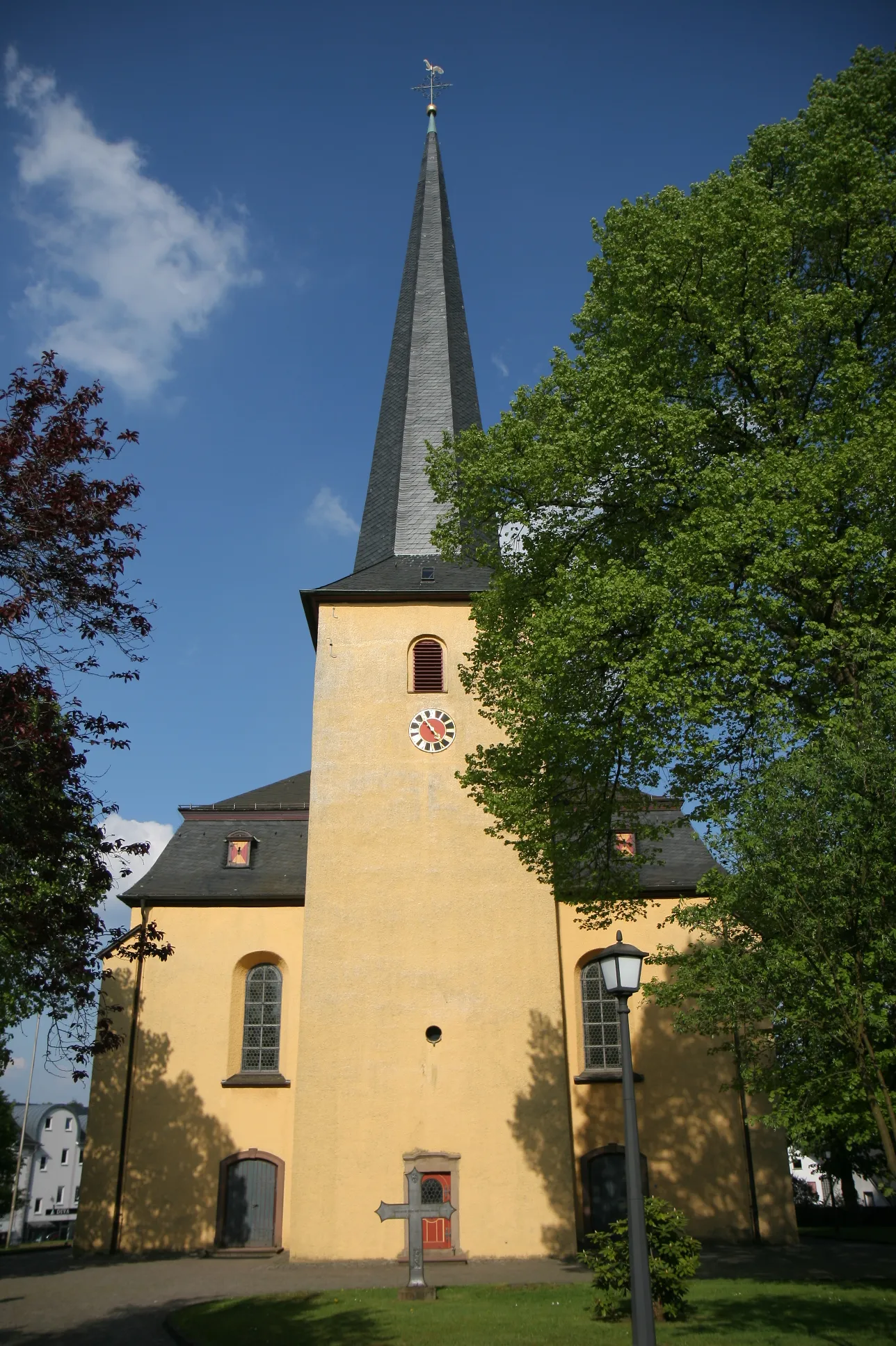
Giebelberg528 mPeakGiebelberg is a small village surrounded by idyllic scenery and tranquil forests. Stop for a moment and connect with nature in this peaceful setting.
27 km
27 km
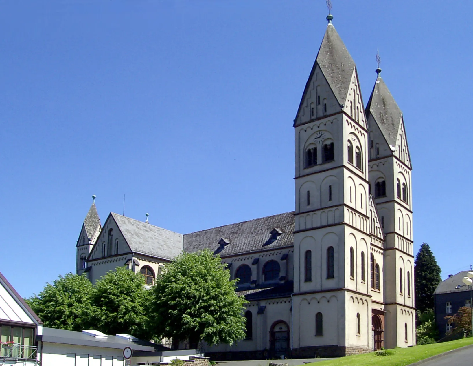
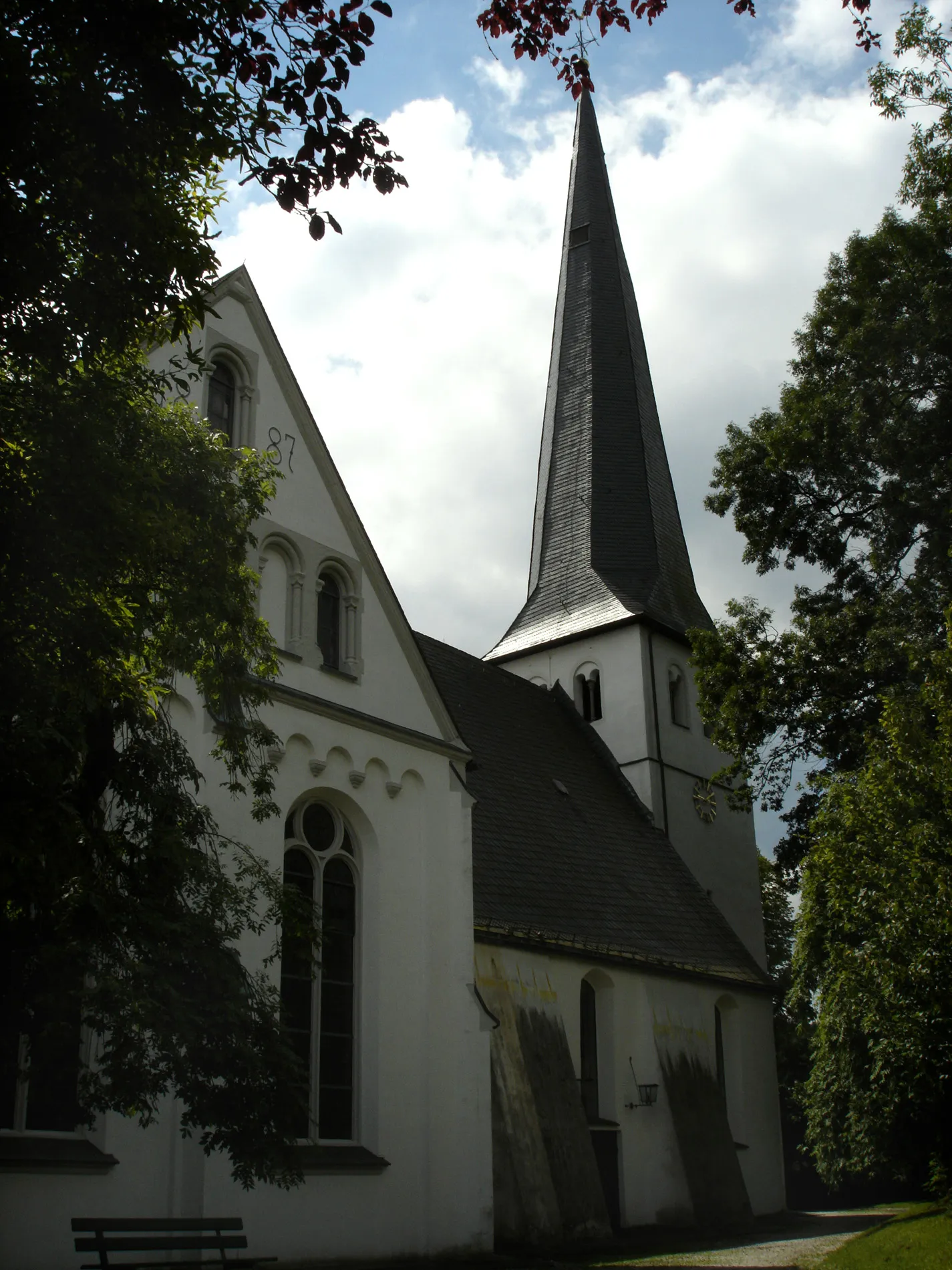
Mahlscheid509 mPeakMahlscheid is a hidden gem known for its historic buildings and picturesque landscape. Pause your ride and explore the quaint streets and well-preserved structures that hark back to another era.
31 km
31 km
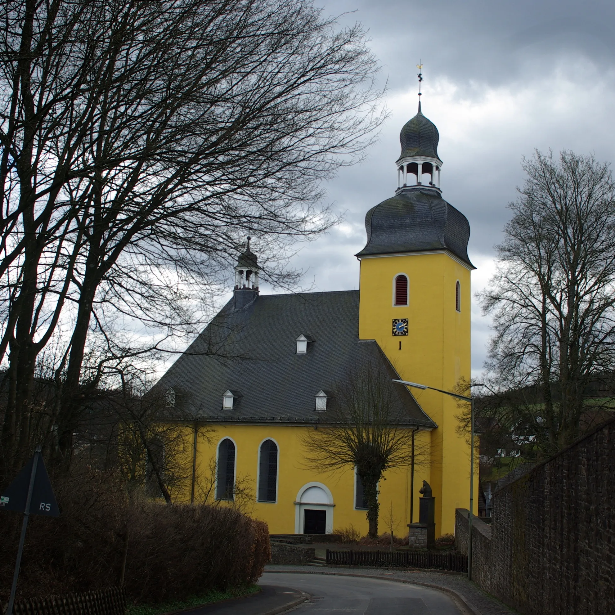
DaadenVillageDaaden is a charming town with a rich cultural history and a well-preserved old town. Take a break here and soak in the unique atmosphere that blends modern life with traces of the past.
54 km
54 km
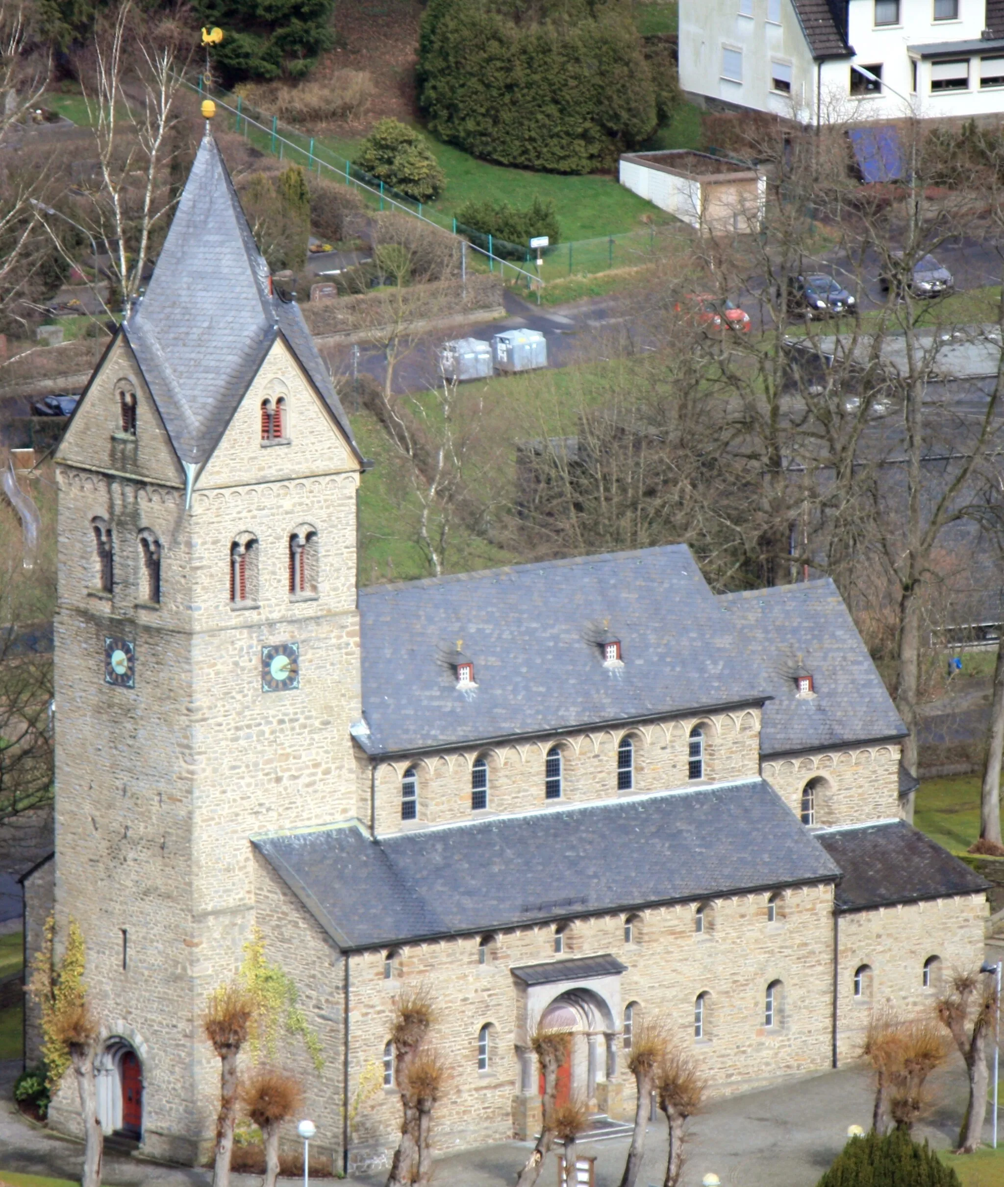
Steinerother Kopf478 mPeakSteinerother Kopf is a hilltop offering panoramic views of the surrounding countryside. Take a moment to appreciate the beauty of the landscape and the sense of accomplishment from conquering this challenging climb.
62 km
62 km
Molzberg342 mPeakMolzberg is a small village perched on a hilltop, providing stunning views of the Westerwald region. Enjoy the peace and tranquility of this secluded spot before continuing your gravel adventure.
78 km
78 km
Finish: Hohenhain Village centerFreudenberg: A cyclist's gateway to picturesque routes and nature
Cycling routes nearby: