The Hillside Expedition
A road cycling route starting from Welver
Embark on a thrilling hillside expedition near Welver and challenge yourself with breathtaking ascents
Map
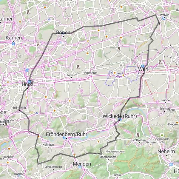
The Hillside Expedition is a road cycling route near Welver that caters to climbers and those seeking a challenging adventure. With 567 meters of ascent over a distance of 73 kilometers, this route provides a true test of endurance and offers cyclists stunning views of the region's hilly landscapes.
road
73 km
567 m
Tough
Route profile
Highlights on the route
0 km
0 km
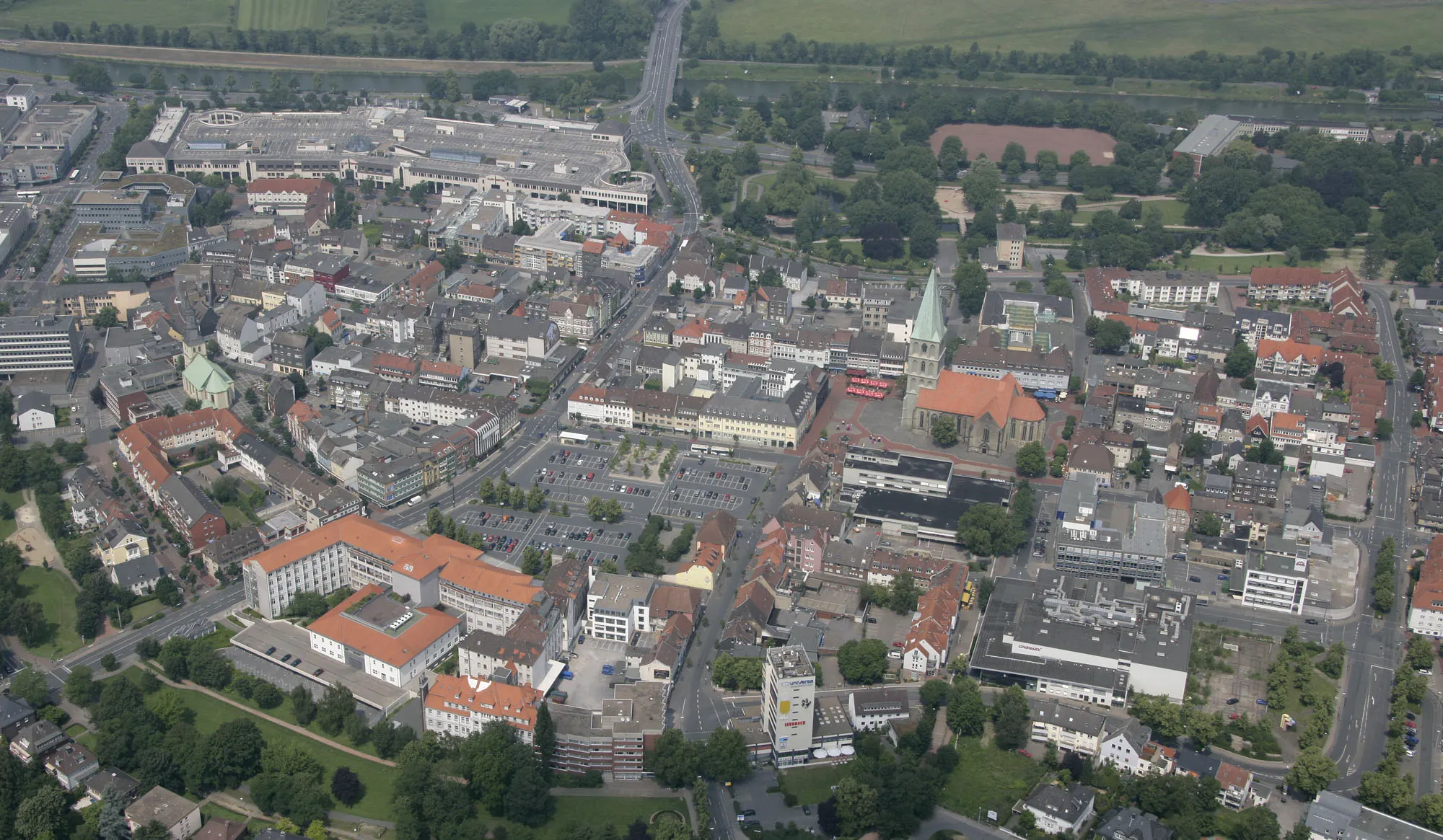
Start: Meyerich Village centerWelver: Tranquil countryside cycling in Arnsberg
Welver, located in Arnsberg, Germany, offers a pleasant cycling experience for riders of all levels. The region features scenic countryside landscapes with rolling hills and charming villages. Cyclists can explore the well-marked cycle paths and venture through the peaceful rural surroundings. While Welver may not have any particularly famous cycling spots or well-known climbs nearby, the relaxed atmosphere and picturesque scenery make it a great destination for leisurely rides. From quiet country lanes to off-road trails, Welver has routes to suit every cyclist's preferences.8 km
8 km
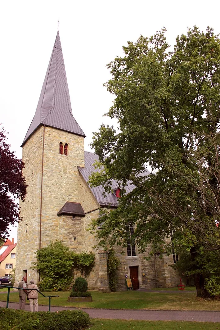
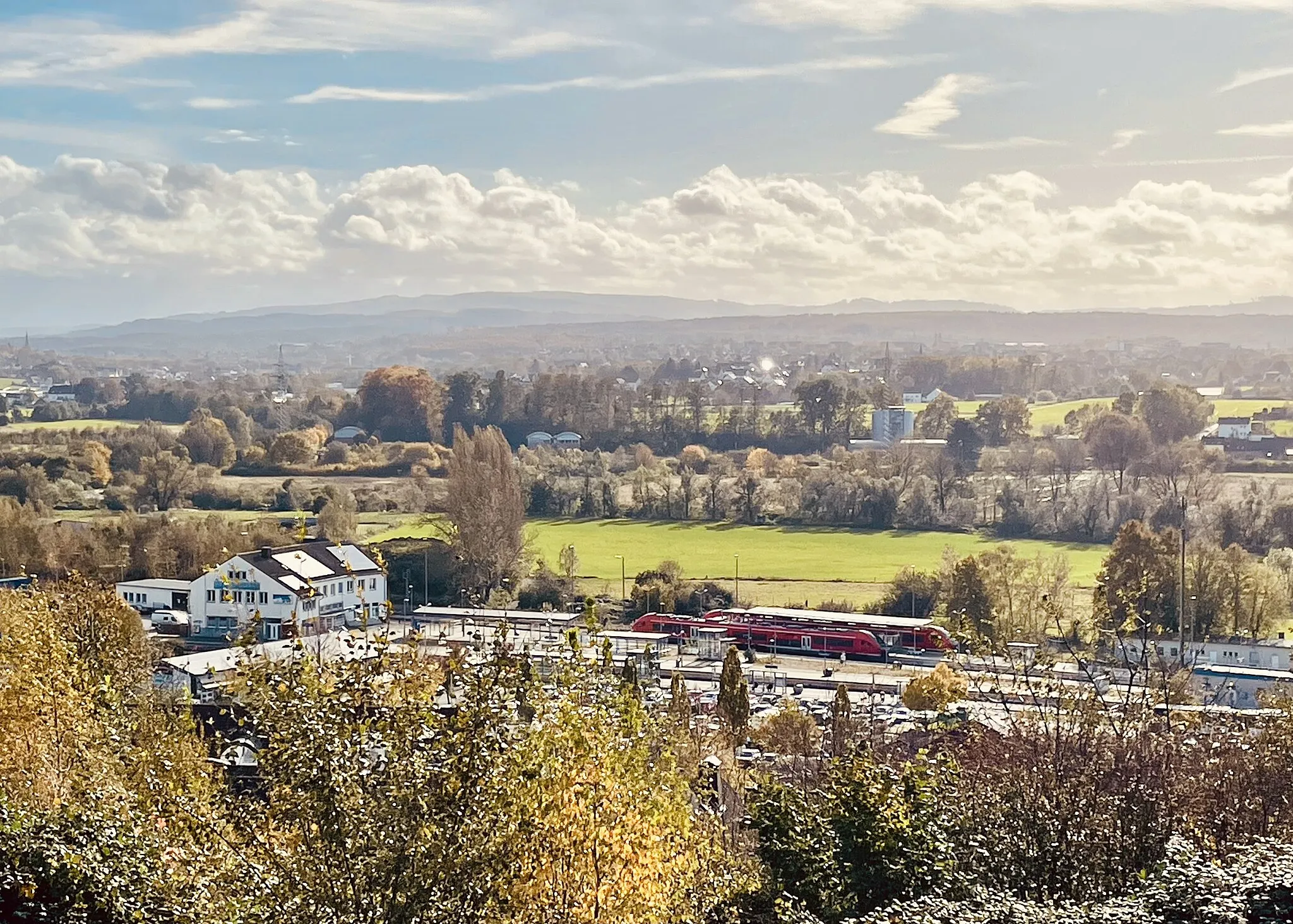
WerlTownWerl, a charming town along the route, is known for its well-preserved medieval architecture and historical landmarks, providing a unique cultural experience for cyclists.
17 km
17 km
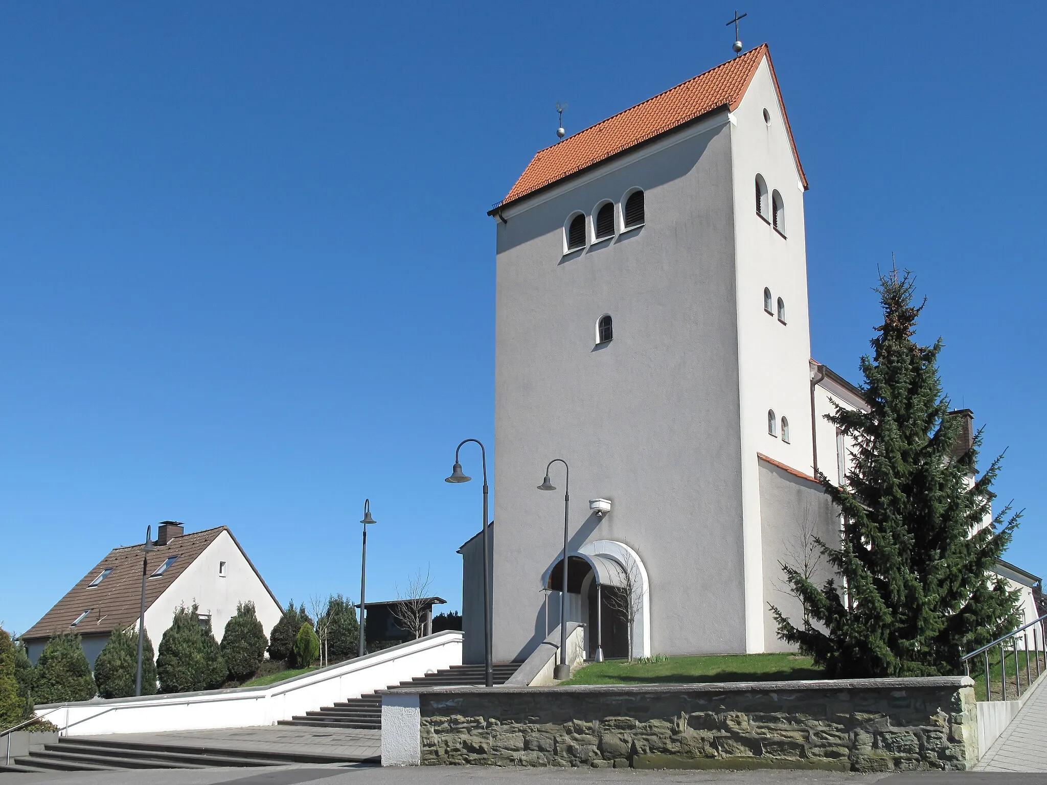
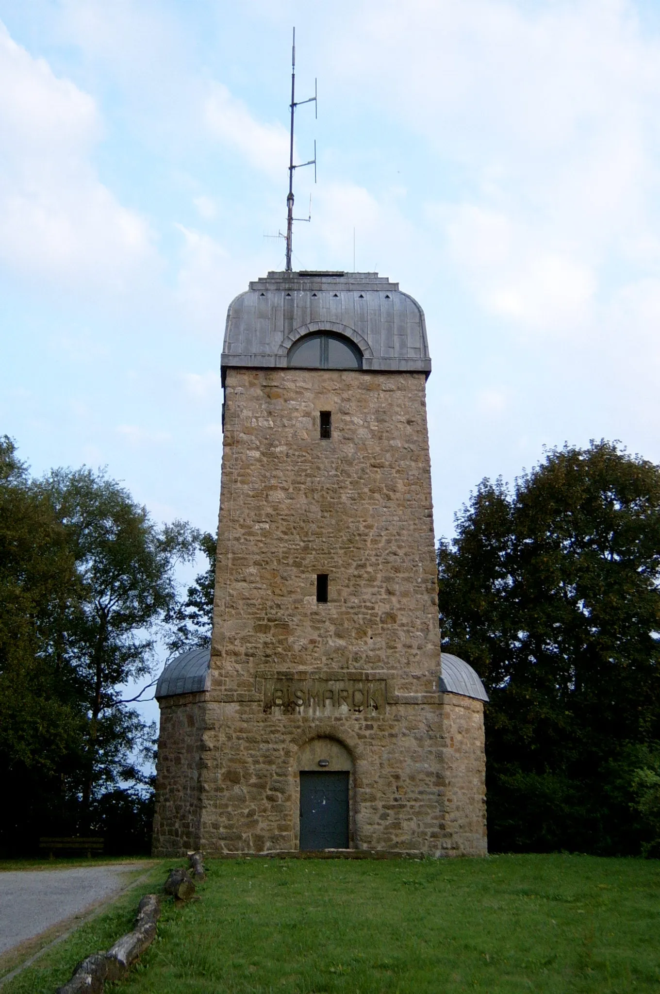
Echthauser Berg227 mPeakEchthauser Berg is a picturesque hill with winding roads that challenge cyclists with steep gradients and rewards them with panoramic views from the top.
29 km
29 km
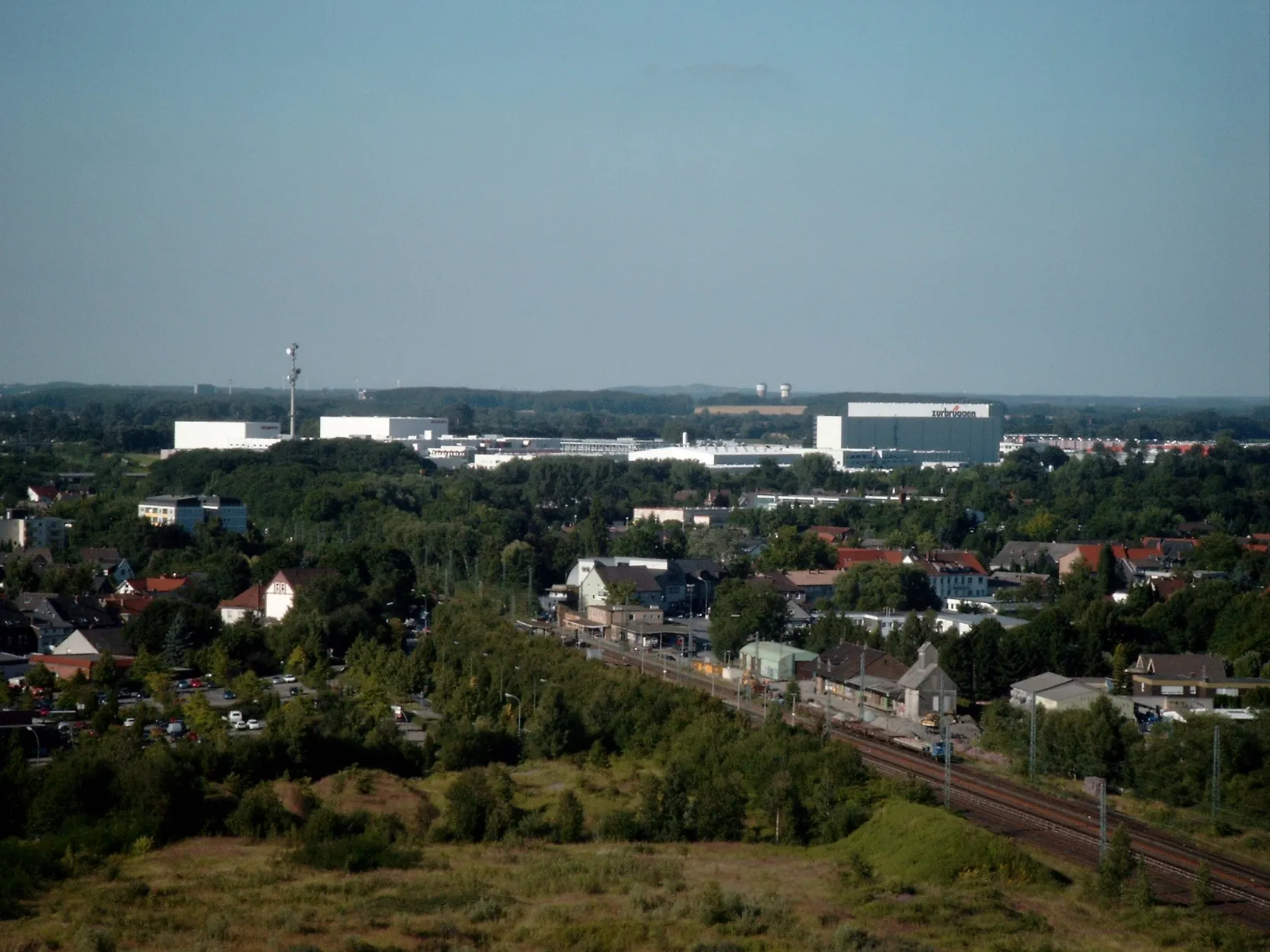
BösperdeSub-urbBösperde is a quaint village located on the slopes of the Arnsberg Forest, offering cyclists a peaceful and scenic ride through its idyllic surroundings.
32 km
32 km
Wälkesberg193 mPeakWälkesberg is a challenging climb that will push cyclists to their limits, but the breathtaking panoramic views from the top make it all worthwhile.
47 km
47 km
LindenbrauereiAttractionLindenbrauerei is a popular brewery in the area, offering cyclists the opportunity to reward themselves with a refreshing beverage after conquering the climbs.
57 km
57 km
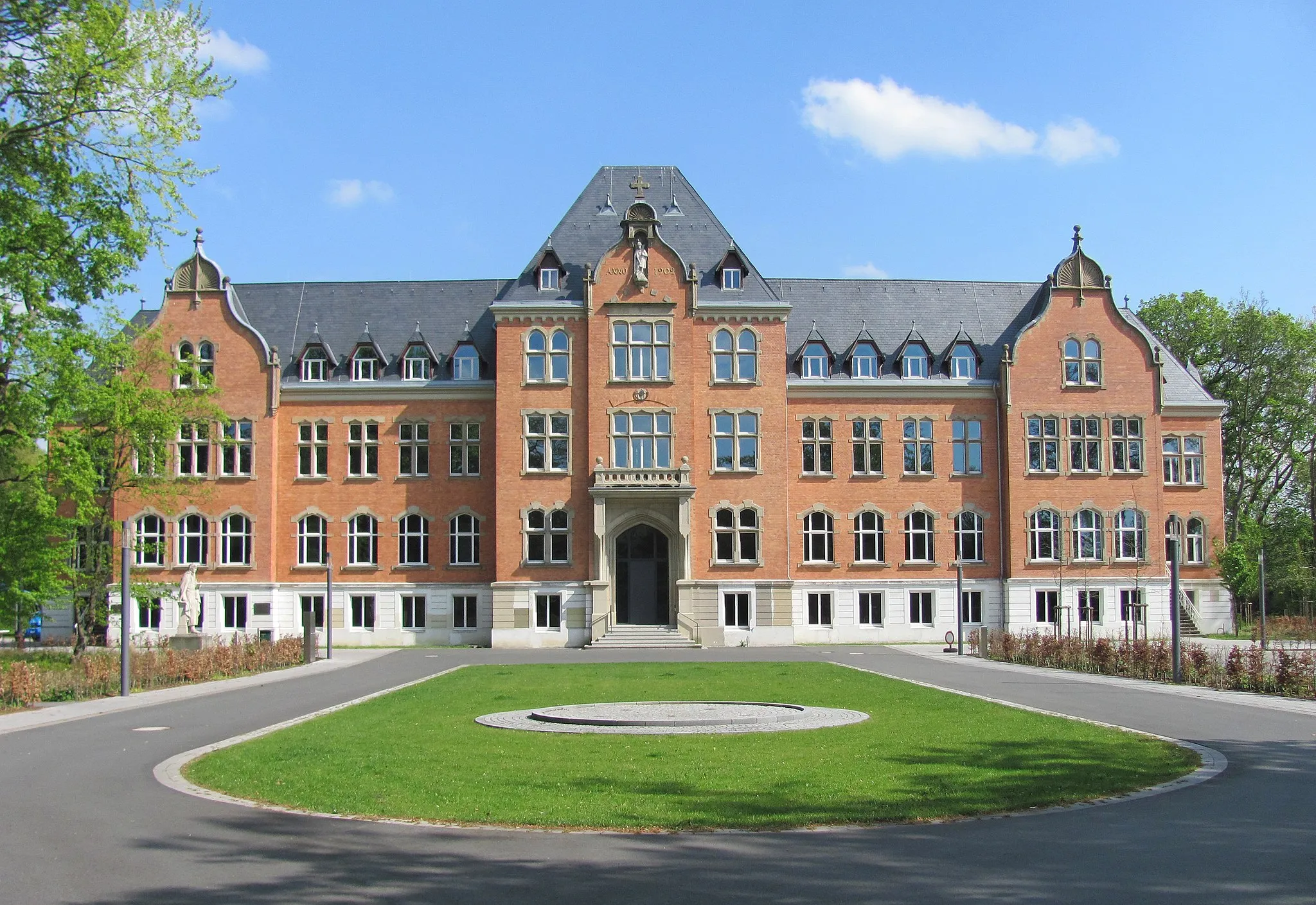
BönenTownBönen is a charming town that provides a lovely break during the ride, with its picturesque streets and inviting cafes.
69 km
69 km
WambelnSub-urbWambeln is a peaceful village with beautiful countryside, allowing cyclists to appreciate the scenic views and unwind from the challenges of the expedition.
73 km
73 km
Finish: Meyerich Village centerWelver: Tranquil countryside cycling in Arnsberg
Cycling routes nearby: