Hennigsdorf to Aussichtspunkt Charow
A road cycling route starting from Frohnau
Discover the scenic route from Hennigsdorf to Aussichtspunkt Charow
Map

This route takes you on a 49 km journey from Hennigsdorf to Aussichtspunkt Charow. With a total ascent of 114 meters, it offers a relatively easy ride suitable for amateur cyclists. The highlights along the way include Hennigsdorf, Mathiasberg, Weinberg, Germendorf, Birkenwerder, and Aussichtspunkt Charow.
road
49 km
114 m
Chill
Route profile
Highlights on the route
0 km
0 km
Start: Locality centerFrohnau: Cyclist-friendly locality with urban and nature-based cycling.
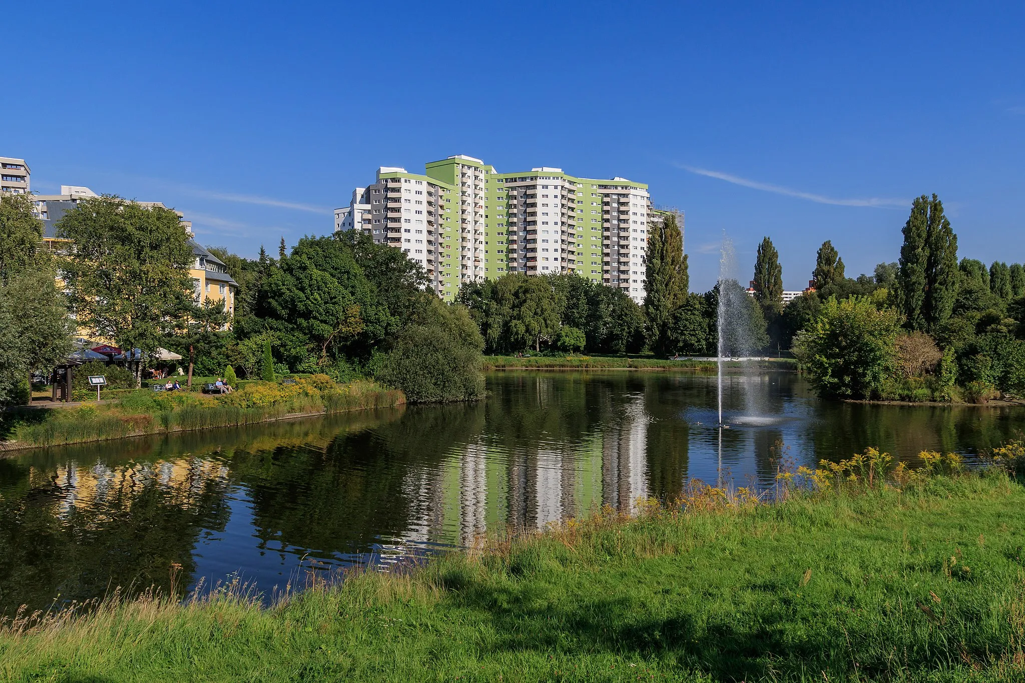
Frohnau is a locality situated in Berlin, Germany. Cyclists will find the local roads to be cyclist-friendly, with dedicated cycling lanes and well-paved paths. The area offers a mix of urban and nature-based cycling experiences, with options for both leisurely rides and more intense training sessions. While there aren't any famous cycling-related spots or well-known climbs nearby, Frohnau's attractive architecture, green spaces, and proximity to the city center make it a great cycling destination. Overall, Frohnau is a recommended locality for cyclists looking to explore Berlin and enjoy varied cycling routes.7 km
7 km
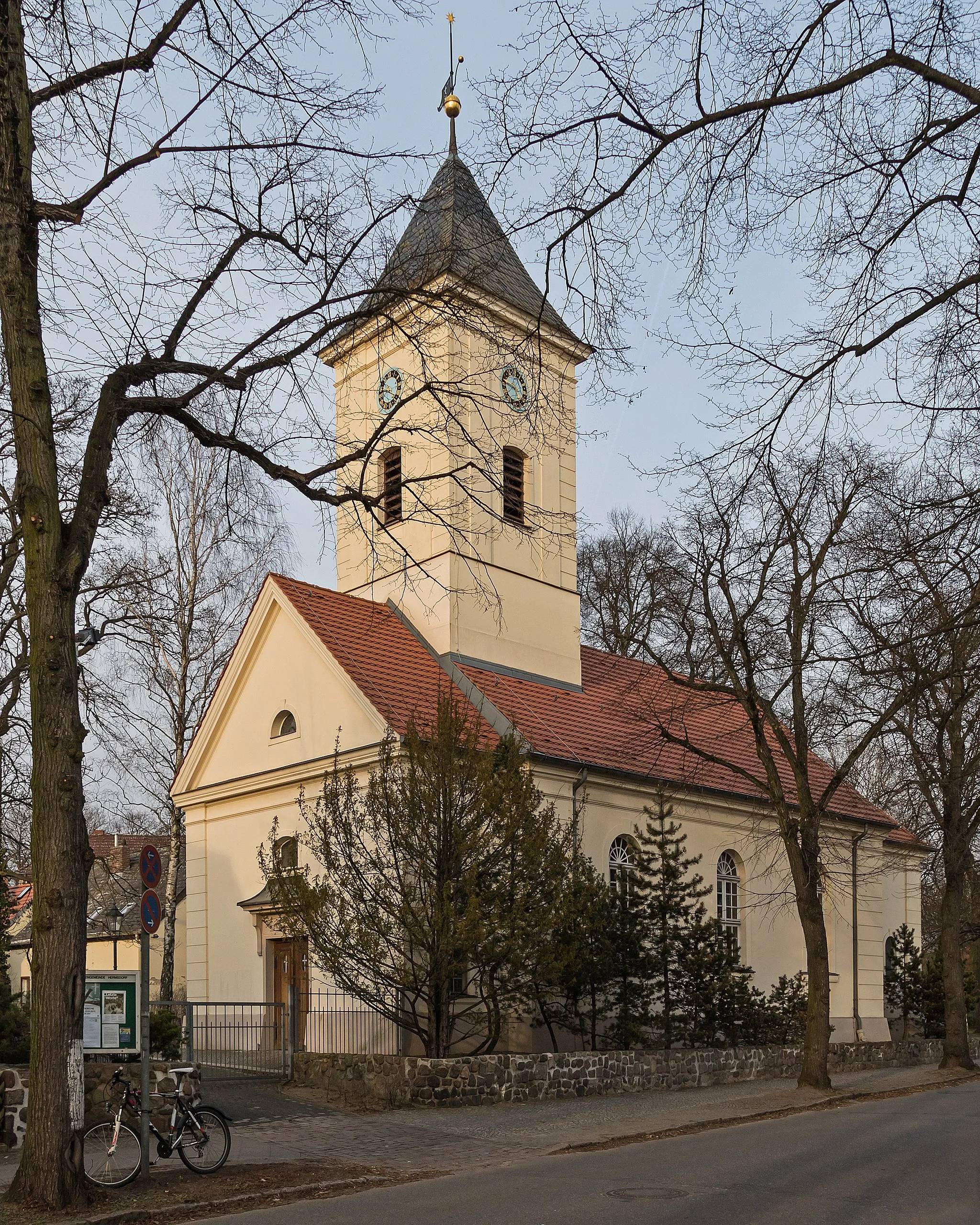
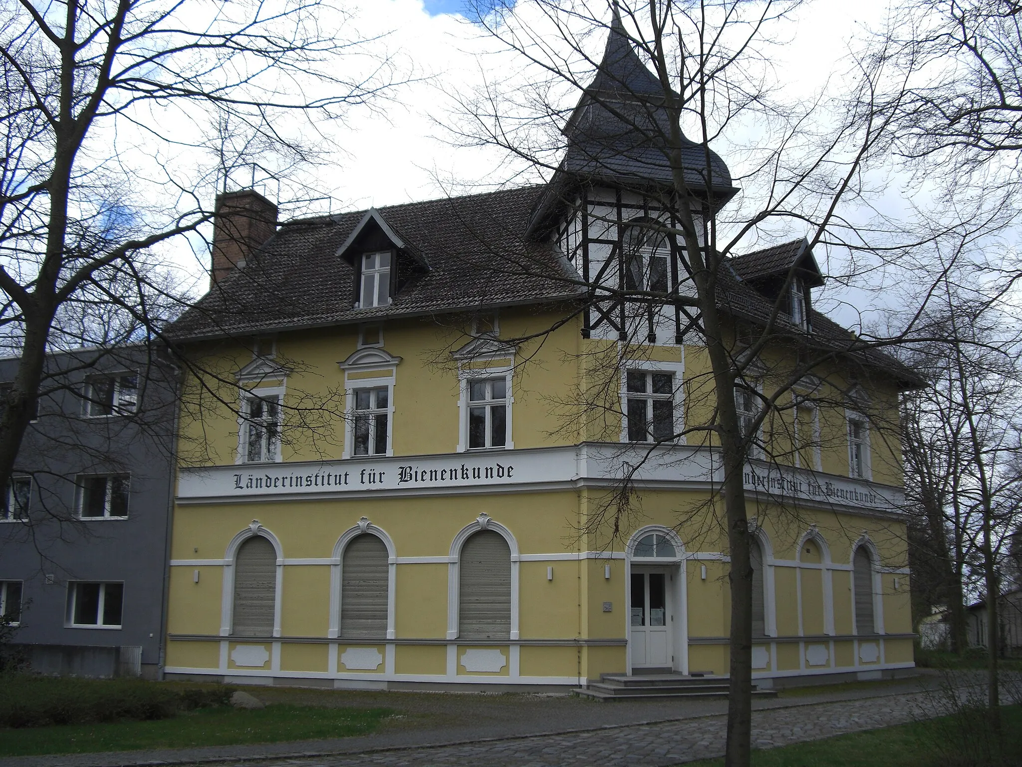
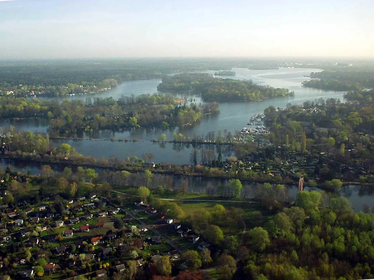
HennigsdorfTownHennigsdorf is a charming town located along the Havel River, offering a mix of history and natural beauty.
13 km
13 km
Mathiasberg50 mPeakMathiasberg is a hill with breathtaking views over the surrounding landscape, perfect for a short detour and photo opportunity.
20 km
20 km
Weinberg50 mPeakWeinberg is known for its vineyards and wineries, offering a chance to taste some local wines during your ride.
30 km
30 km
GermendorfVillageGermendorf features a historic castle and park, where you can take a break and enjoy its beautiful surroundings.
42 km
42 km
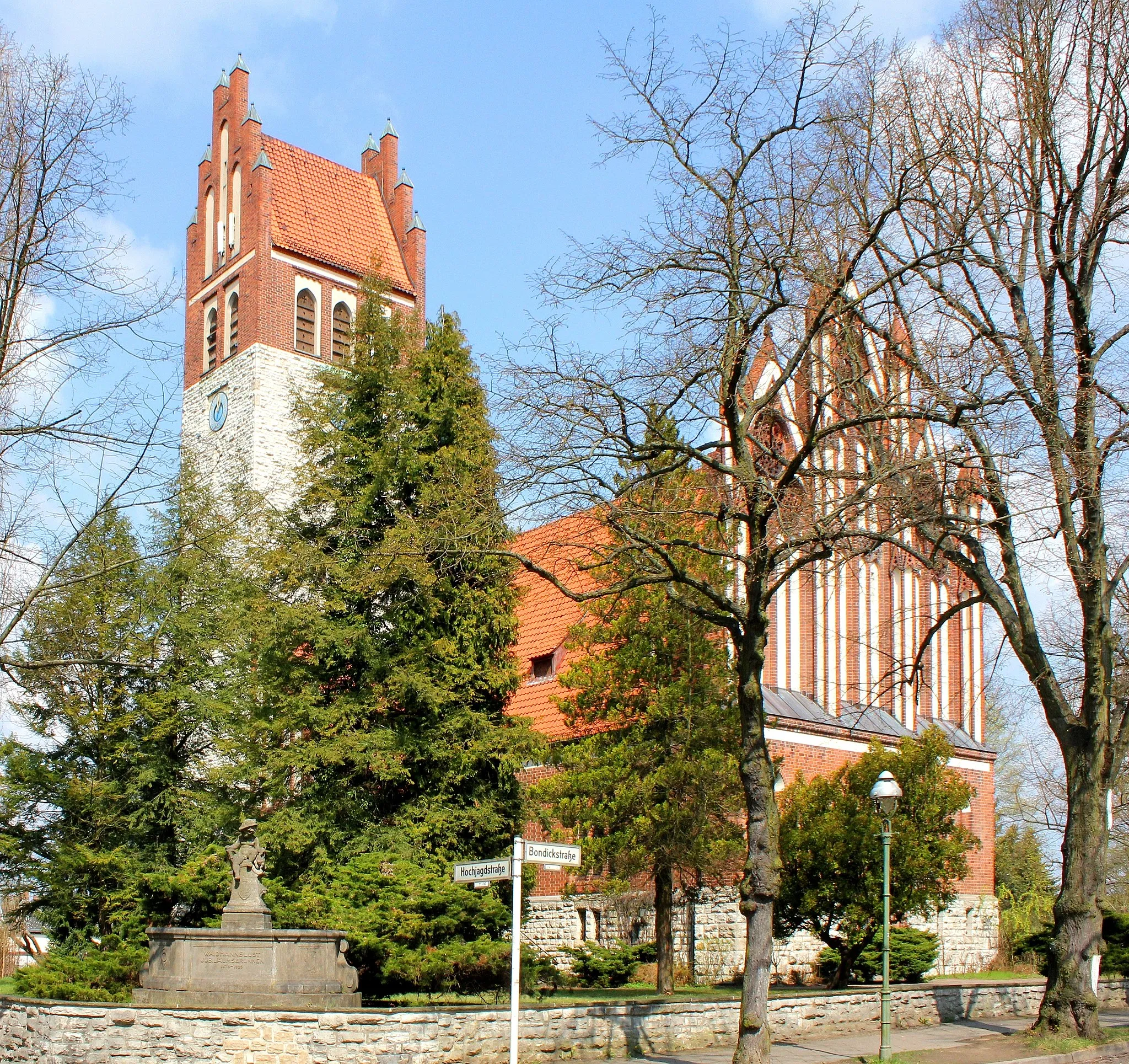
BirkenwerderVillageBirkenwerder is a small town with a picturesque town square, lined with cafes and boutiques - perfect for a coffee stop.
47 km
47 km
Aussichtspunkt CharowViewpointAussichtspunkt Charow offers stunning panoramic views of the surrounding countryside, providing a rewarding end to the route.
49 km
49 km
Finish: Locality centerFrohnau: Cyclist-friendly locality with urban and nature-based cycling.
Cycling routes from Frohnau:
Hennigsdorf to Aussichtspunkt Charow Tour de Havel The Gravel Adventure Hennigsdorf to Aussichtspunkt Charow The Hennigsdorf Adventure Ehrenpfortenberg to Wetterpilz The Rural Escape The Humboldt-Schloss Loop The Ultimate Gravel Challenge Loreleiberge to Hermsdorf From Frohnau to Hennigsdorf via Schönwalde-Glien and Vehlefanz
Cycling routes nearby: