Grunewald and Beyond
A gravel cycling route starting from Grunewald
Explore the stunning Grunewald forest and venture into Falkensee, Spandau, and Funkturm.
Map
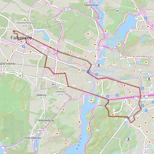
This route takes you through the beautiful Grunewald forest and beyond, showcasing the diverse landscapes surrounding Berlin. With a mix of gravel and road terrain, you'll experience the thrill of off-road cycling combined with scenic road stretches. The route offers a moderate level of difficulty, making it suitable for well-trained amateurs. Prepare for unforgettable highlights, including the iconic Funkturm and the historic ehem. Steilkurve.
gravel
43 km
133 m
Tough
Route profile
Highlights on the route
0 km
0 km
Start: Locality centerGrunewald: Urban and natural cycling paradise in Berlin.
Grunewald is a locality in Berlin, Germany. It offers a variety of cycling routes catering to both road and gravel cyclists. The locality is known for its expansive forest, Grunewald, which provides numerous gravel paths for off-road cycling. Cyclists can explore the forest trails and enjoy the serene natural surroundings. Grunewald is also well-connected with bike lanes, making it easy to navigate within the city. The locality offers a perfect blend of urban and natural cycling experiences. With its diverse cycling opportunities and scenic landscapes, Grunewald is a must-visit location for road and gravel cyclists in Berlin.0 km
0 km
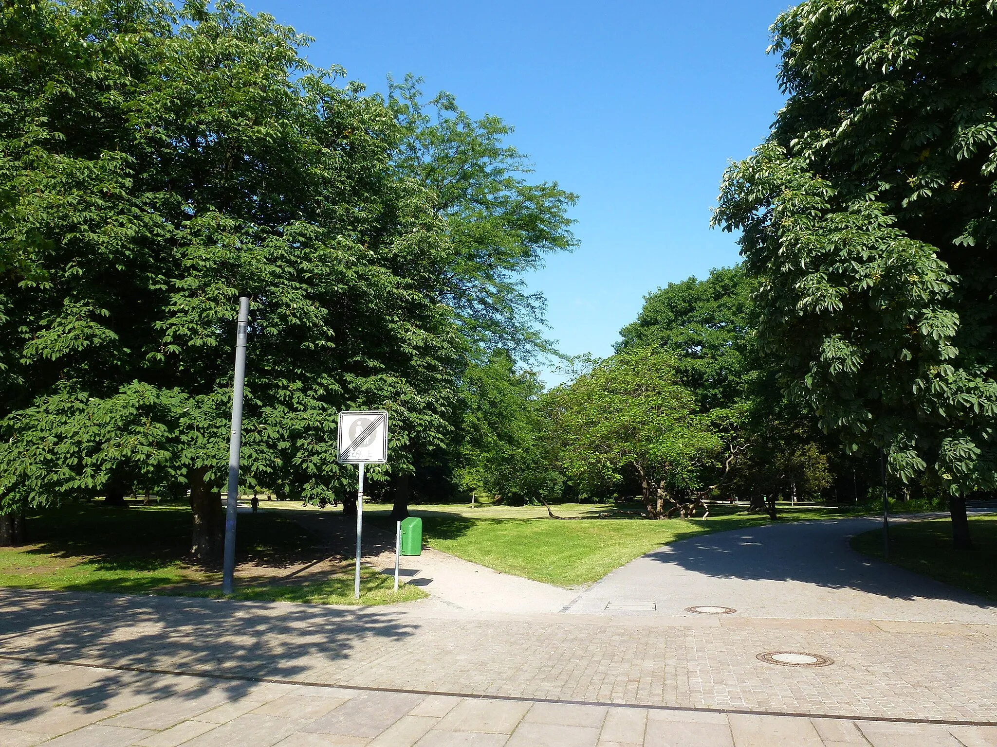
GrunewaldSub-urbGrunewald is a massive forest located within the city limits of Berlin, offering picturesque trails and stunning natural beauty.
2 km
2 km
Teufelsberg120 mViewpointTeufelsberg, known as Devil's Mountain, is an artificial hill built from World War II debris, providing panoramic views over Berlin.
19 km
19 km
FalkenseeTownFalkensee is a charming town located west of Berlin, featuring a variety of historical sites and beautiful lakes.
31 km
31 km
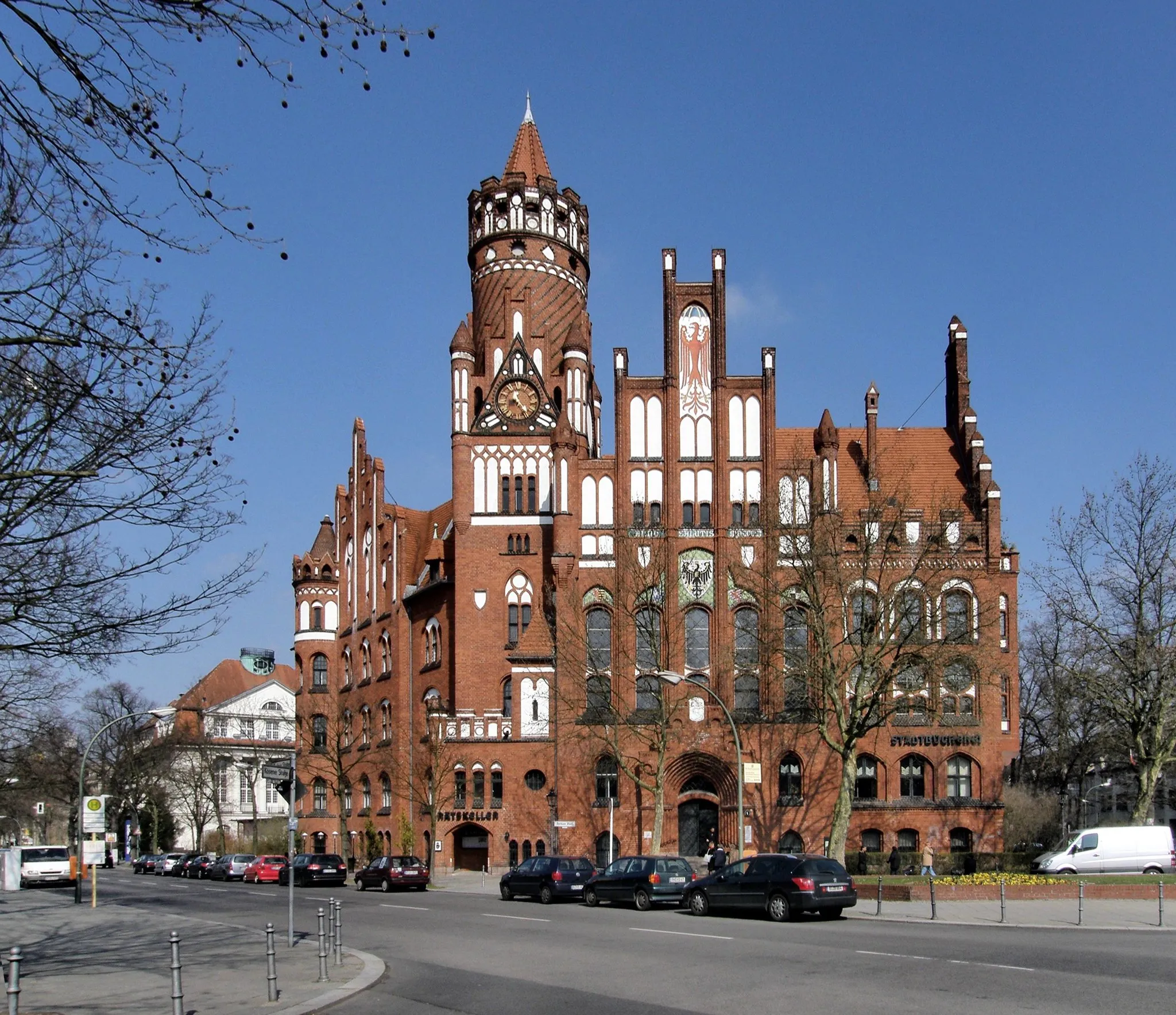
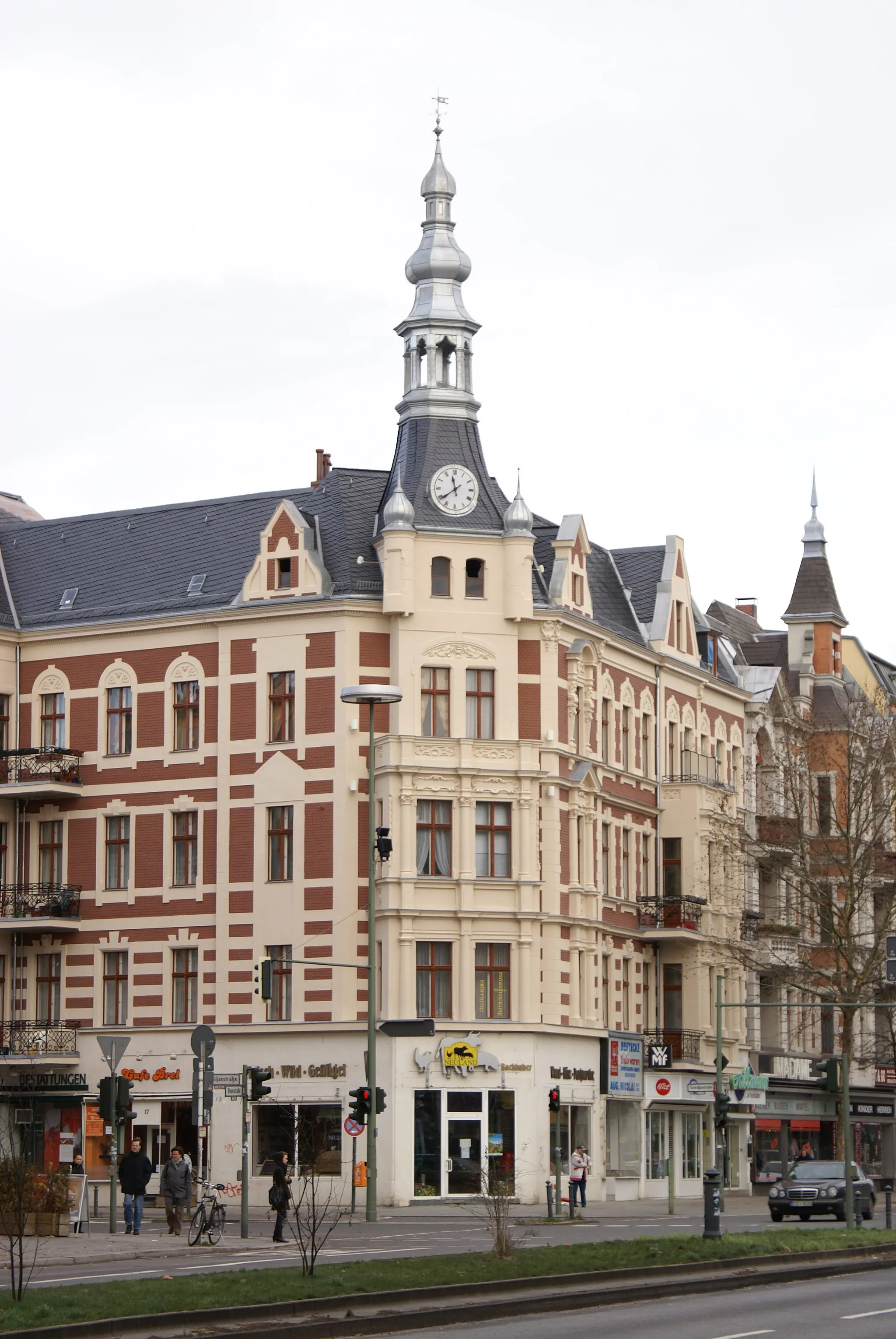
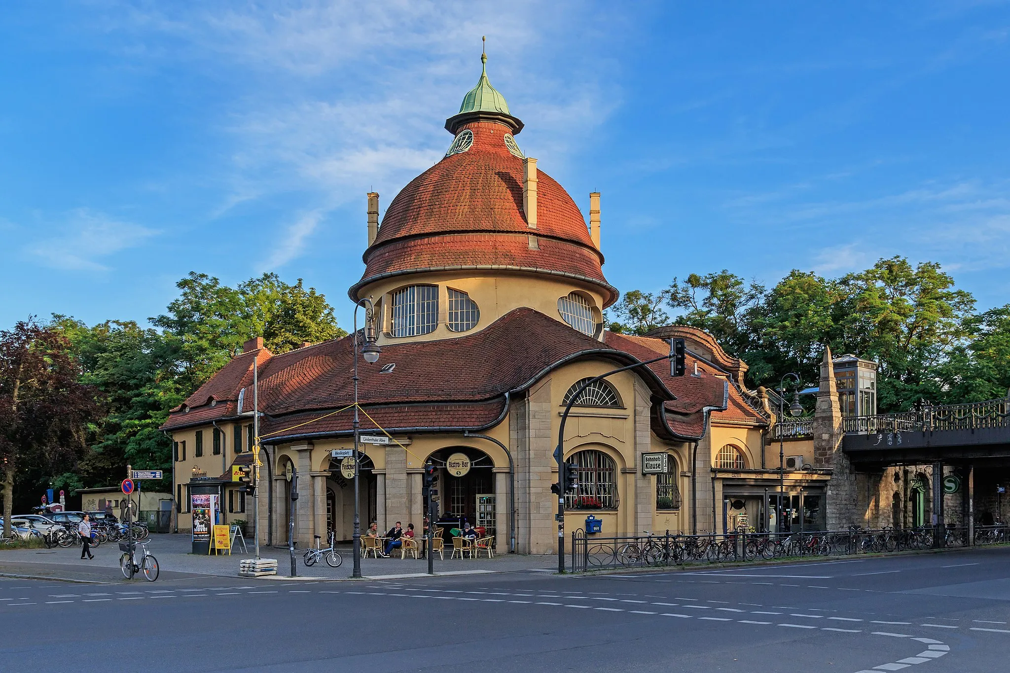
SpandauSub-urbSpandau is one of Berlin's oldest districts, home to a medieval fortress and charming streets lined with cafes and shops.
40 km
40 km
FunkturmViewpointThe Funkturm is a distinctive radio tower in Berlin, offering a viewing platform with panoramic cityscape views.
40 km
40 km
ehem. SteilkurveCastle RuinsThe ehem. Steilkurve is a former high-banked corner of a former race track, providing a unique historical cycling location.
43 km
43 km
Finish: Locality centerGrunewald: Urban and natural cycling paradise in Berlin.
Cycling routes from Grunewald:
Scenic Gravel Route Including Teufelsberg and Funkturm Grunewald and Beyond The Tropenhaus Circuit Gravel Route to Kerzendorf and Thyrower Berg The Berlin City Tour The Lichterfelde Loop Castles and Gardens Berlin Landmarks and Beyond Exploring Naturpark Nuthe-Nieplitz The Potsdam Adventure Grunewald Loop
Cycling routes nearby: