Grunewald and Drachenberg Loop
A road cycling route starting from Lichterfelde
Scenic ride through Grunewald forest and visit to Drachenberg hill.
Map
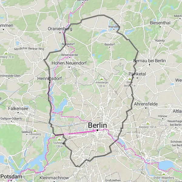
This route takes you through the beautiful Grunewald forest, known for its scenic views and diverse flora and fauna. One of the highlights of the route is the visit to Drachenberg hill, offering panoramic views of the surrounding area. The overall cycling experience is moderate in difficulty, making it suitable for well-trained amateurs. The route has an epicness score of 3, as it offers unique natural surroundings and interesting sights along the way.
road
116 km
361 m
Tough
Route profile
Highlights on the route
0 km
0 km
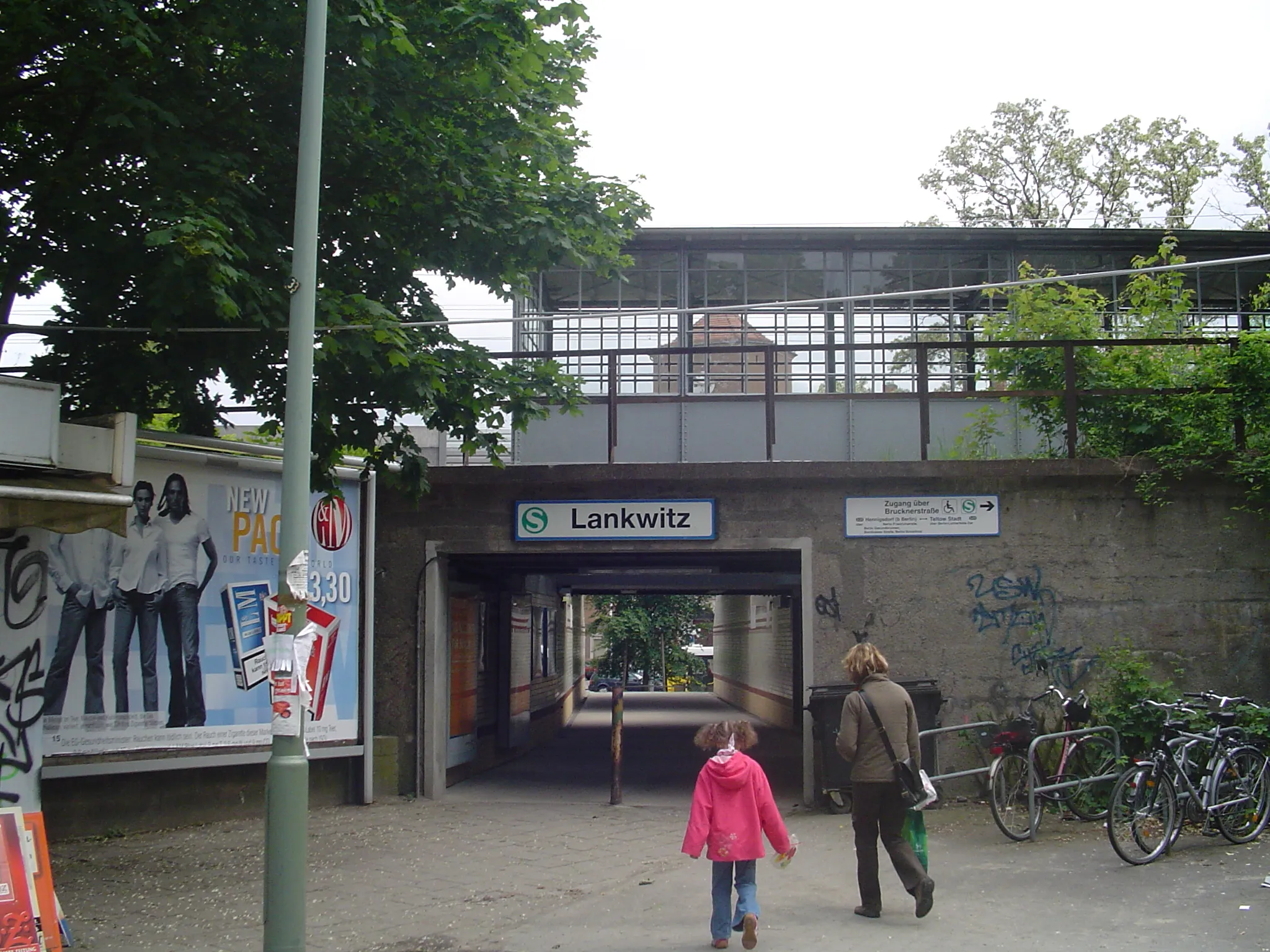
Start: Locality centerLichterfelde: Cyclist-friendly area in Berlin with a variety of cycling paths and lanes.
Lichterfelde is a locality located in Berlin, Germany. From a cyclist's perspective, Lichterfelde offers a variety of cycling paths and lanes throughout the city, making it a cyclist-friendly area for urban biking. The roads are generally well-maintained and there are dedicated cycling facilities. Berlin, as a whole, is known for its cycling culture and infrastructure, with numerous cycling-related events and initiatives. However, Lichterfelde is not particularly known for any famous cycling-related spots or climbs nearby. Nonetheless, it can be a pleasant destination for cyclists looking to explore Berlin and enjoy its cycling-friendly atmosphere. Overall, Lichterfelde is a good locality for urban cycling enthusiasts.7 km
7 km
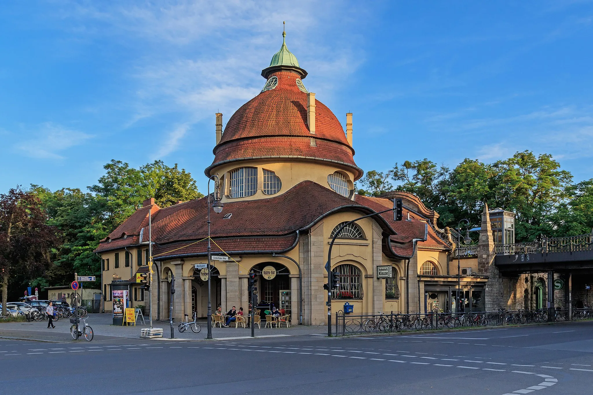
GrunewaldSub-urbGrunewald is a large forest in Berlin, offering a mix of paved and gravel paths. It is known for its stunning lakes and beautiful hiking trails.
12 km
12 km
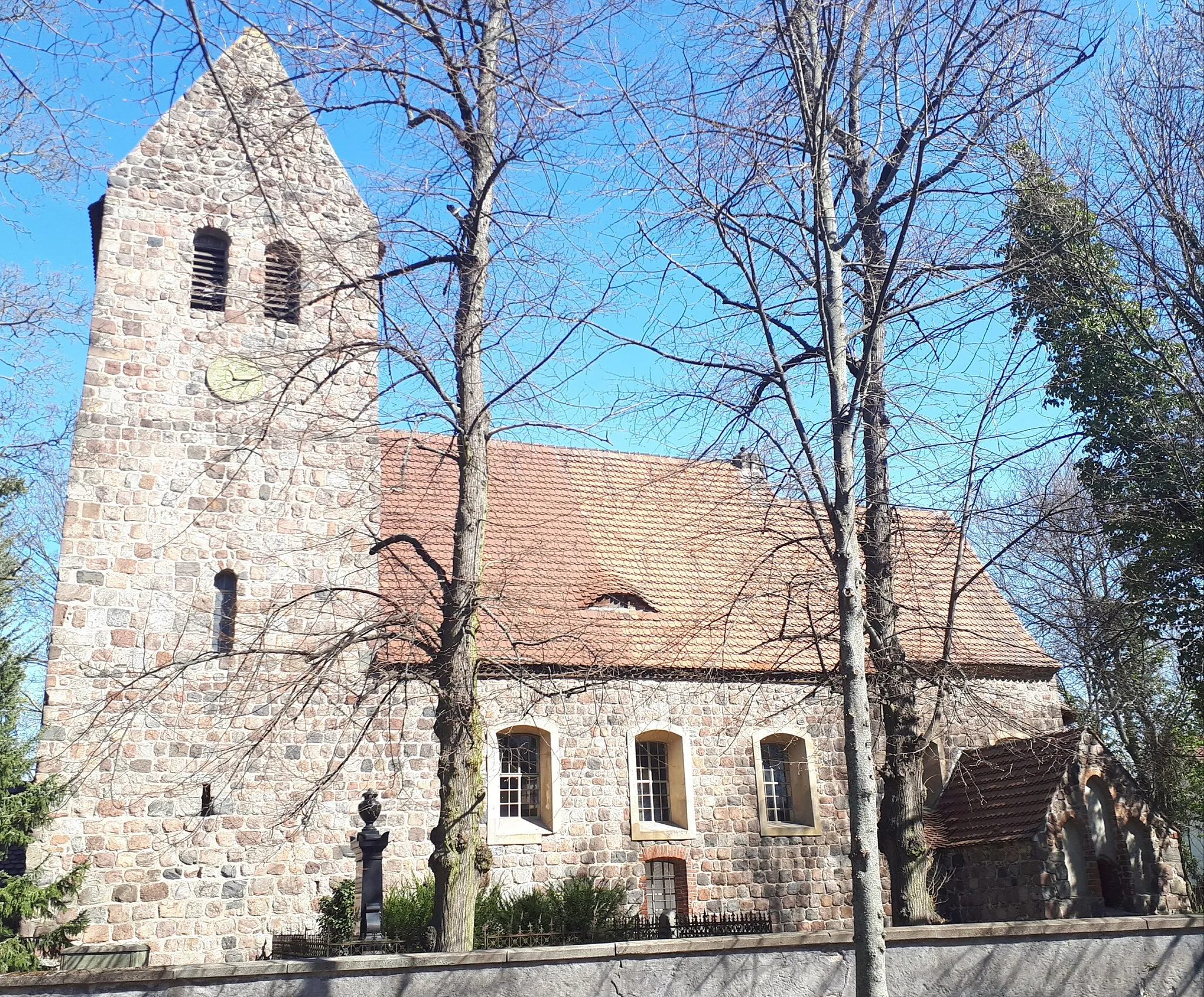
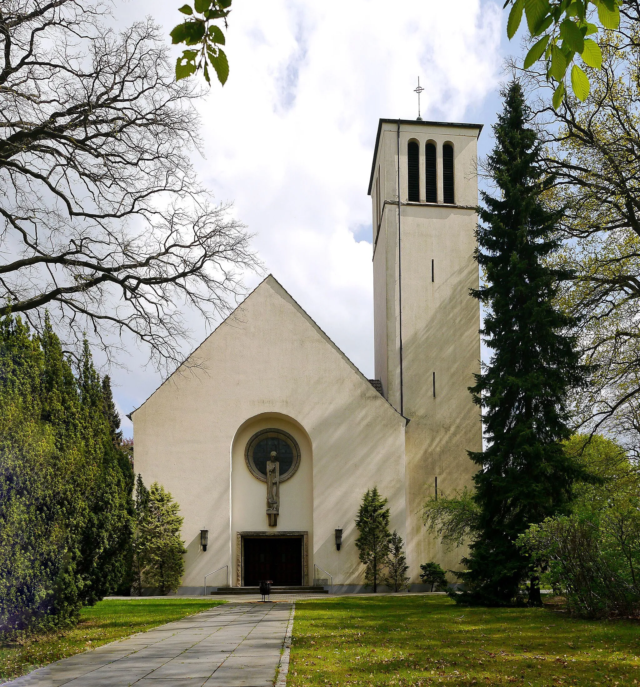
Drachenberg99 mViewpointDrachenberg is a hill located in Grunewald forest, offering panoramic views of Berlin. It is a popular spot for hiking and picnics.
19 km
19 km
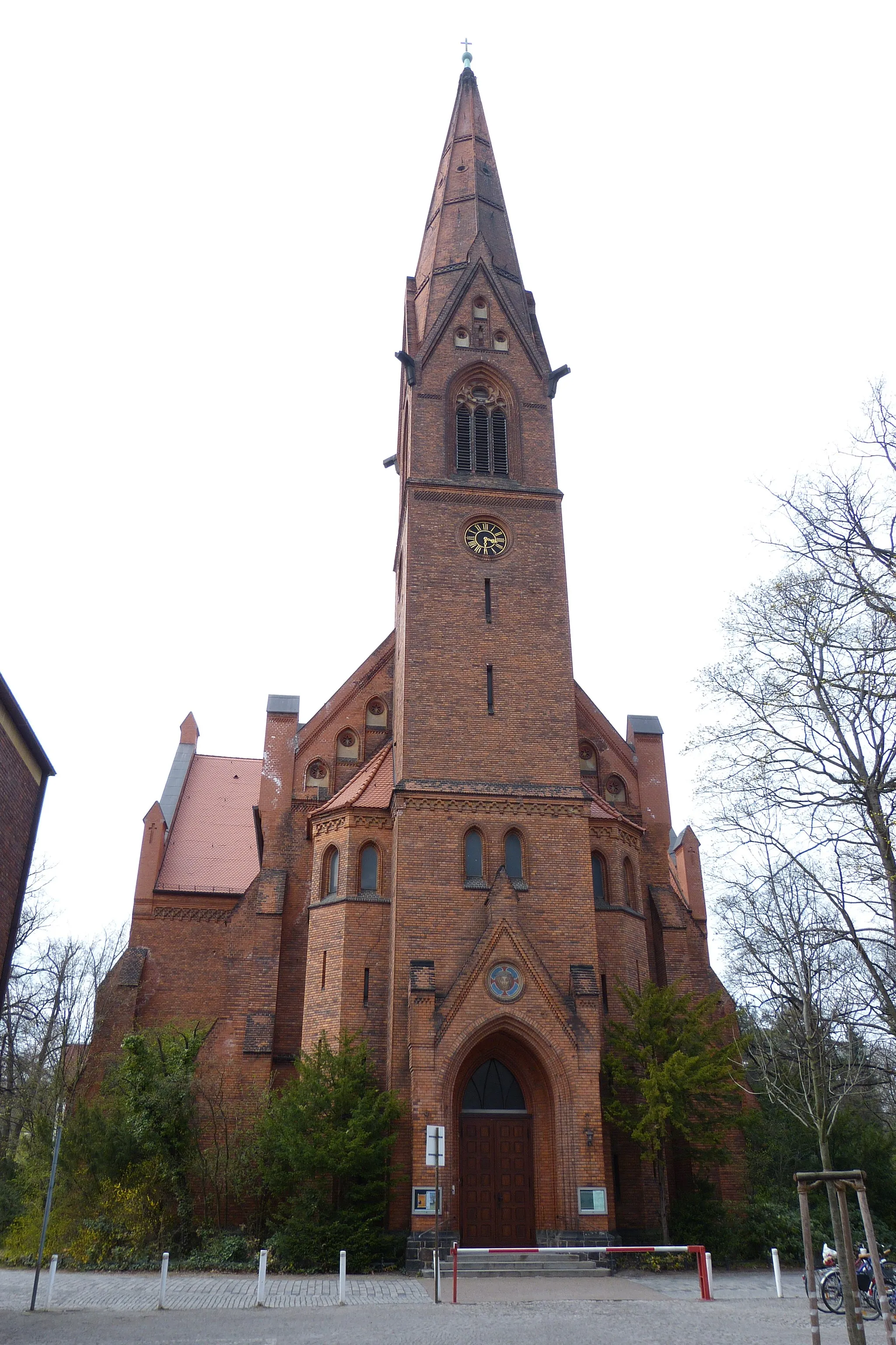
Möritz-GedenkplatzViewpointMöritz-Gedenkplatz is a monument dedicated to Walter Möritz, a German aviator who lived in Lichtenrade. The monument itself is not particularly exceptional compared to other landmarks in the area.
35 km
35 km
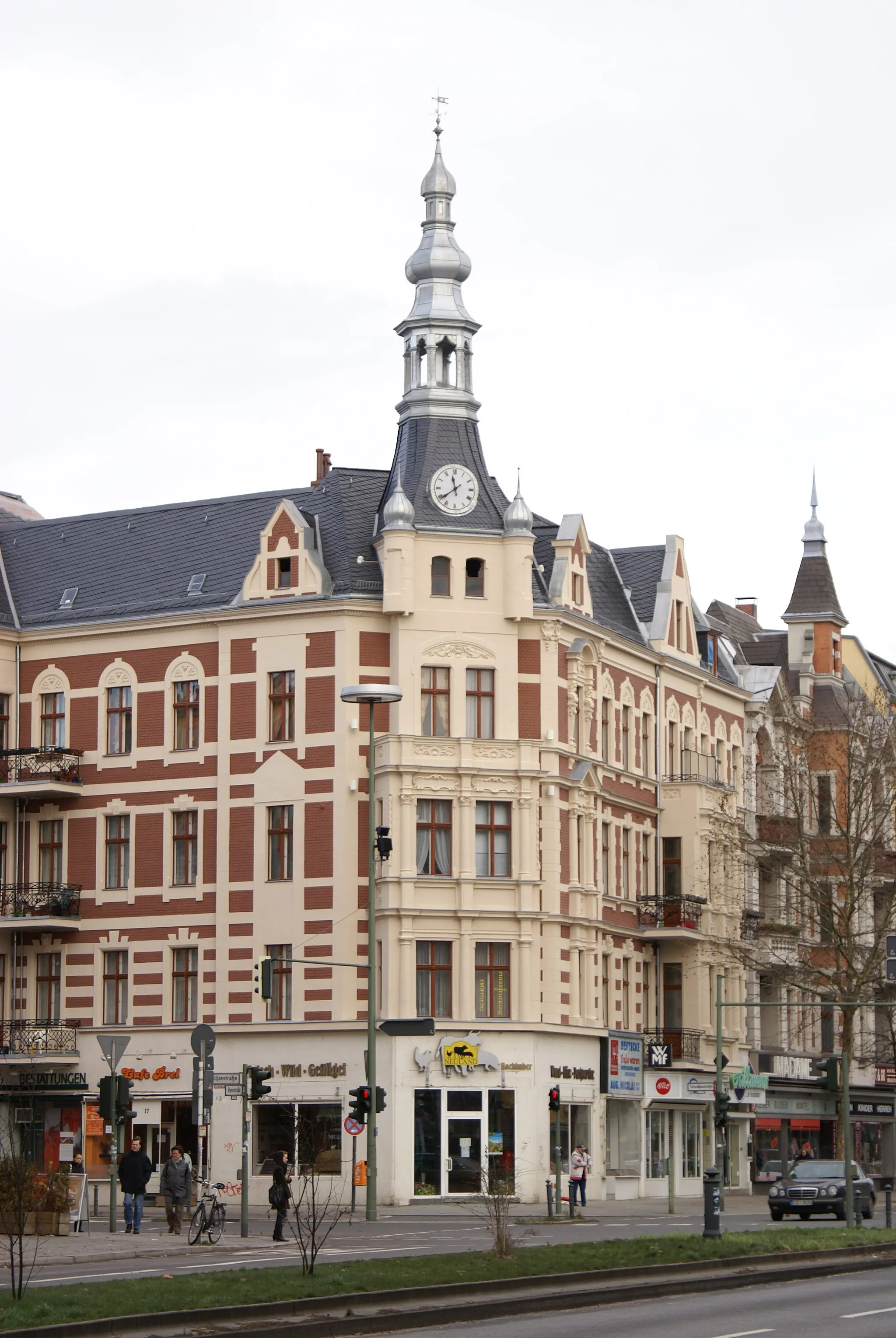
VeltenTownVelten is a small town located northwest of Berlin. It doesn't offer many notable attractions, but it marks a halfway point on the route.
48 km
48 km
Aussicht auf den LehnitzseeViewpointThe viewpoint overlooking Lehnitzsee provides a great spot to take in the scenic beauty of the lake and surrounding nature.
52 km
52 km
SchmachtenhagenVillageSchmachtenhagen is a village located northeast of Berlin. It is known for its charming rural atmosphere and historical buildings.
67 km
67 km
Schuttberg78 mPeakSchuttberg is an artificial hill that was created from wartime rubble. While historically interesting, it may not be worth stopping by unless you have a particular interest in this type of site.
68 km
68 km
WaldsiedlungHamletWaldsiedlung is a neighborhood located on the outskirts of Berlin. It primarily consists of residential buildings and doesn't offer notable attractions.
76 km
76 km
SchönowSub-urbSchönow is a village located north of Berlin. It is known for its idyllic countryside and charming farmhouses.
82 km
82 km
Stener Berg77 mPeakStener Berg is a small hill located near Stahnsdorf. It offers a vantage point with panoramic views of the surrounding landscapes.
100 km
100 km
SchrotkugelturmAttractionSchrotkugelturm is a tower located in Zehlendorf. It was formerly used as a shooting range but now serves as a historical monument.
109 km
109 km
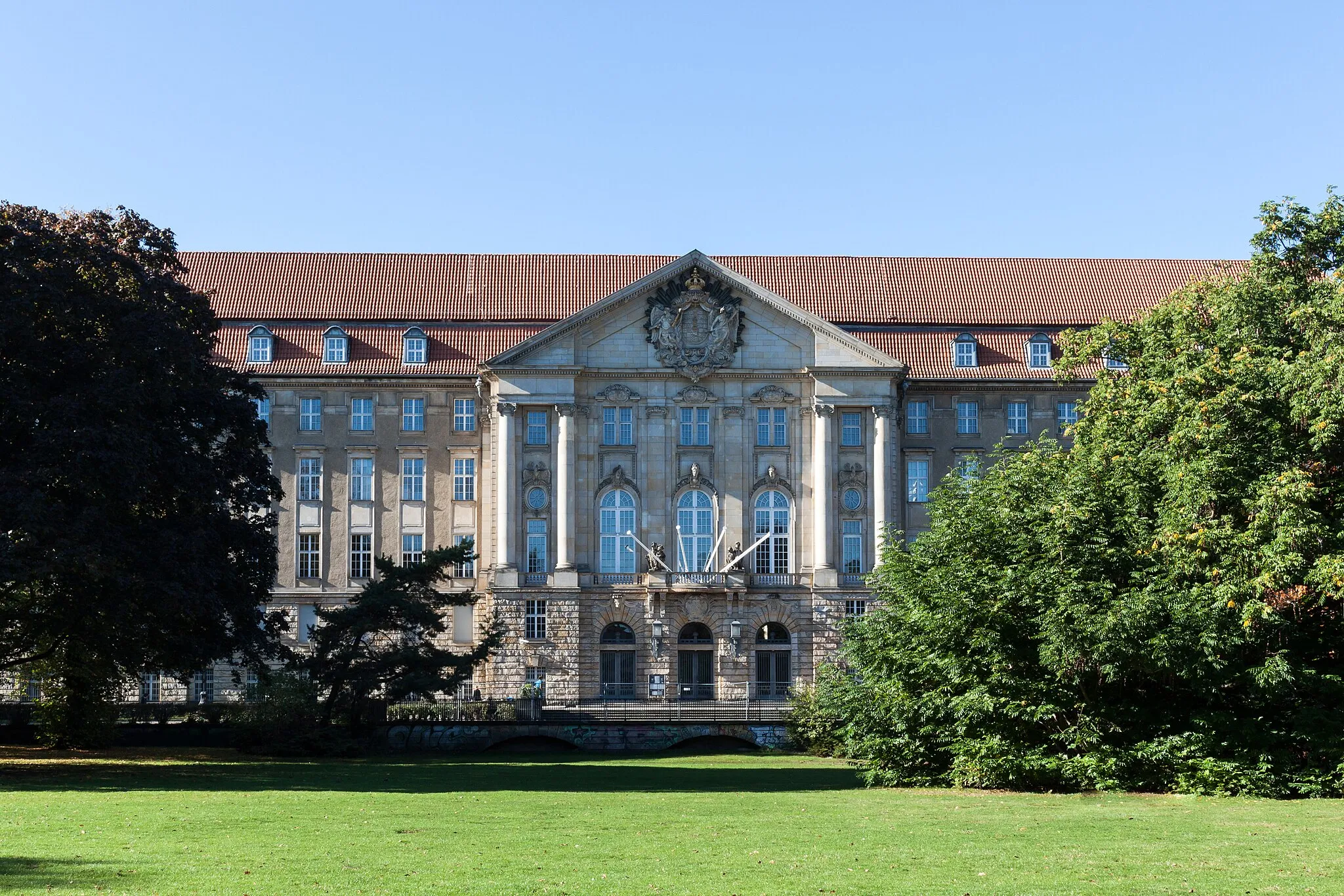
TempelhofSub-urbTempelhof is a historical airport in Berlin that has been converted into a public park. It offers ample space for outdoor activities.
112 km
112 km
Insulaner78 mPeakInsulaner is a hill located in the Tempelhof-Schöneberg district of Berlin. While it offers panoramic views, it may not be as impressive as some other landmarks in the city.
116 km
116 km
Finish: Locality centerLichterfelde: Cyclist-friendly area in Berlin with a variety of cycling paths and lanes.
Cycling routes from Lichterfelde:
Through the Hills of Berlin Stahnsdorf and Nikolassee Gravel Challenge Berlin Lakeside Escape Gravel Adventure to Zuckerburg Gravel Adventure in the South of Berlin The Hills and Lakes Adventure Berlin's Southern Highlights Berlin Gravel Loop Gravel Adventure to Potsdam Berlin's Scenic Countryside Route Tempelhof Urban Gravel Adventure Grunewald and Drachenberg Loop
Cycling routes nearby: