Hidden Gems of Mariendorf
A gravel cycling route starting from Mariendorf
Explore hidden gems and cycle through the Rauhe Berge and Charlottenburg
Map
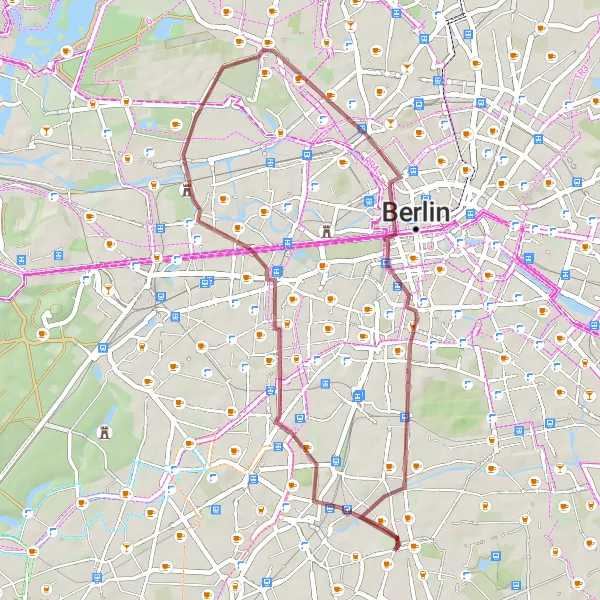
This 37 km gravel ride takes you through the lesser-known areas around Mariendorf. Discover the Rauhe Berge, a hilly region with stunning natural beauty. Pass by the Charlottenburg district and enjoy the beautiful view of the castle. With an ascent of 183 meters, this route is suitable for experienced cyclists looking for some challenging terrain.
gravel
37 km
183 m
Tough
Route profile
Highlights on the route
0 km
0 km
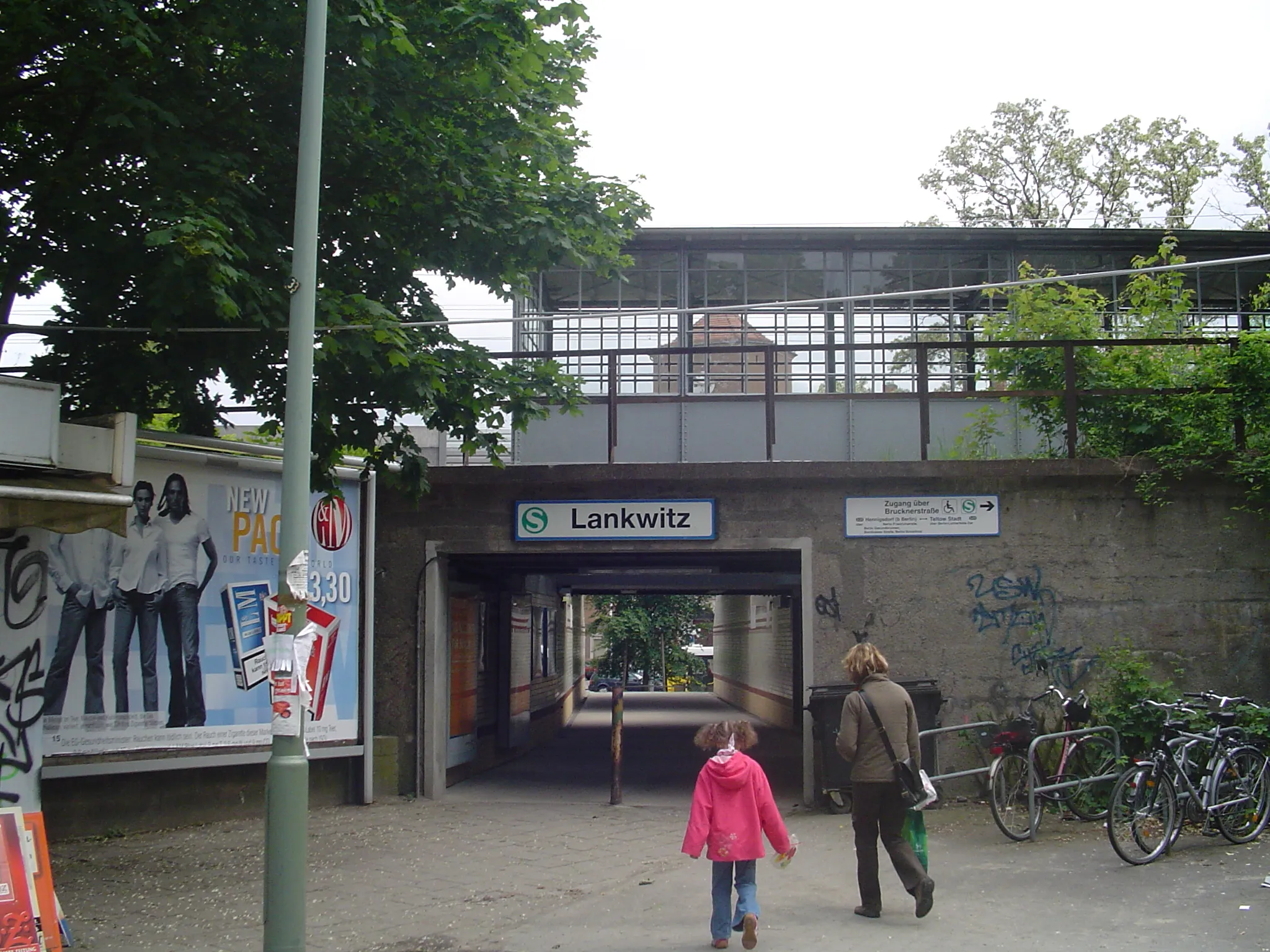
Start: Locality centerMariendorf: Blend of urban and countryside cycling routes
Mariendorf is a neighborhood located in the city of Berlin, Germany. From a cyclist's perspective, Mariendorf offers a mix of urban and countryside routes. Cyclists can enjoy riding on well-paved roads and explore the surrounding nature. The locality is also home to the Mariendorf Race Track, which is famous for its harness racing events. While not a cycling-specific spot, it adds to the overall charm of the area. With its cycling-friendly atmosphere and diverse terrain, Mariendorf is a recommended locality for road and gravel biking enthusiasts.3 km
3 km
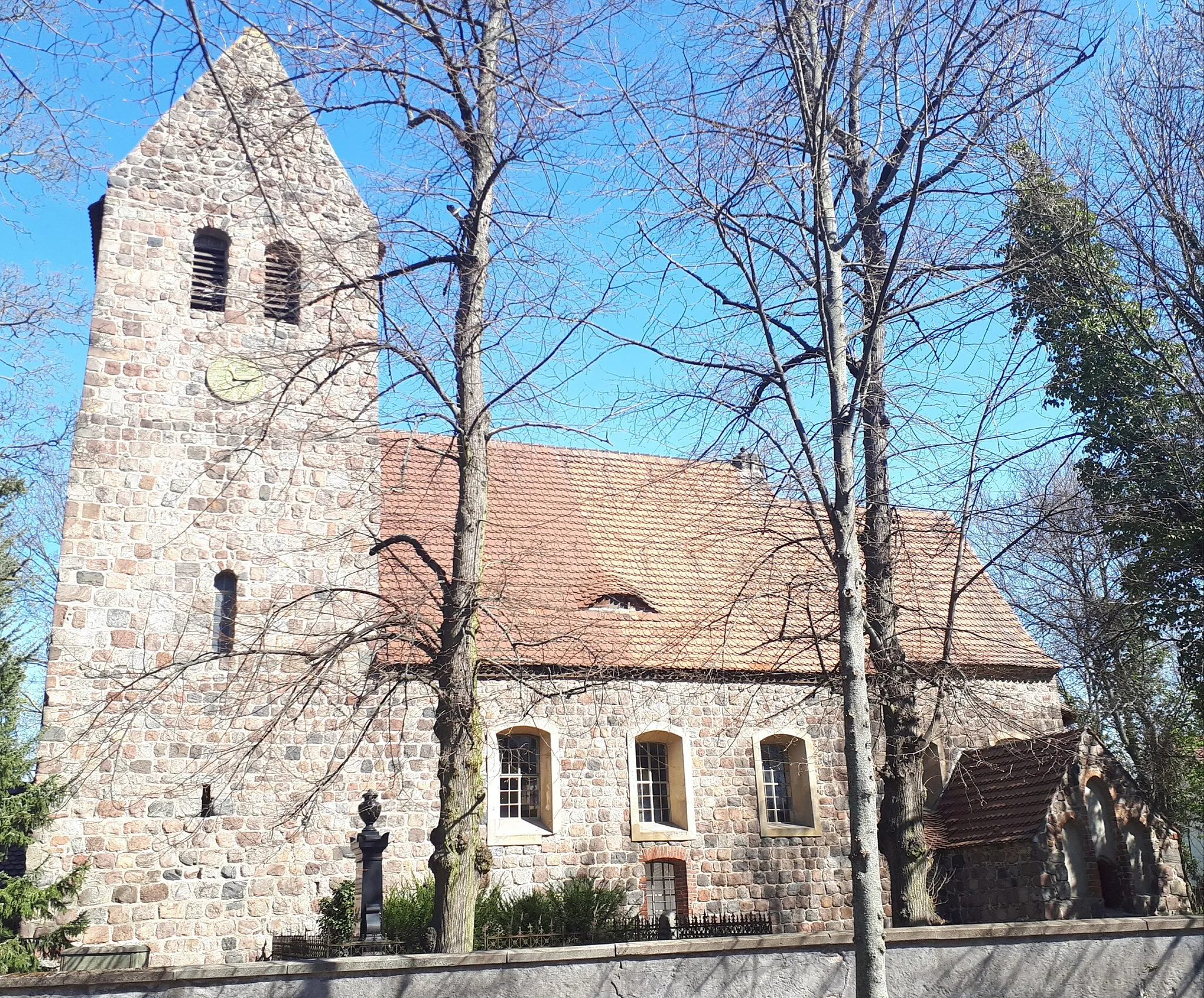
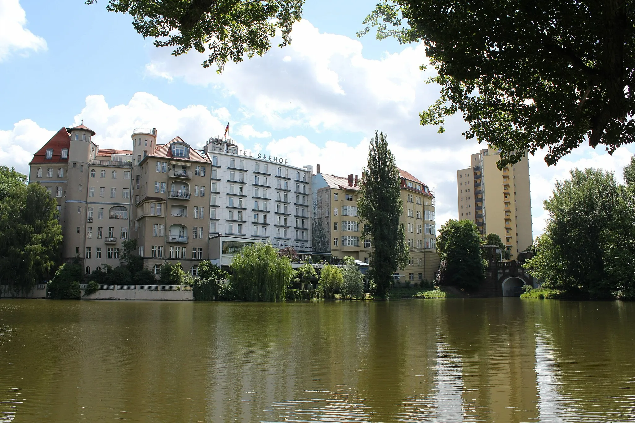
Rauhe Berge56 mPeakCycle through the rugged and scenic Rauhe Berge area. Be prepared for some steep climbs and breathtaking views.
3 km
3 km
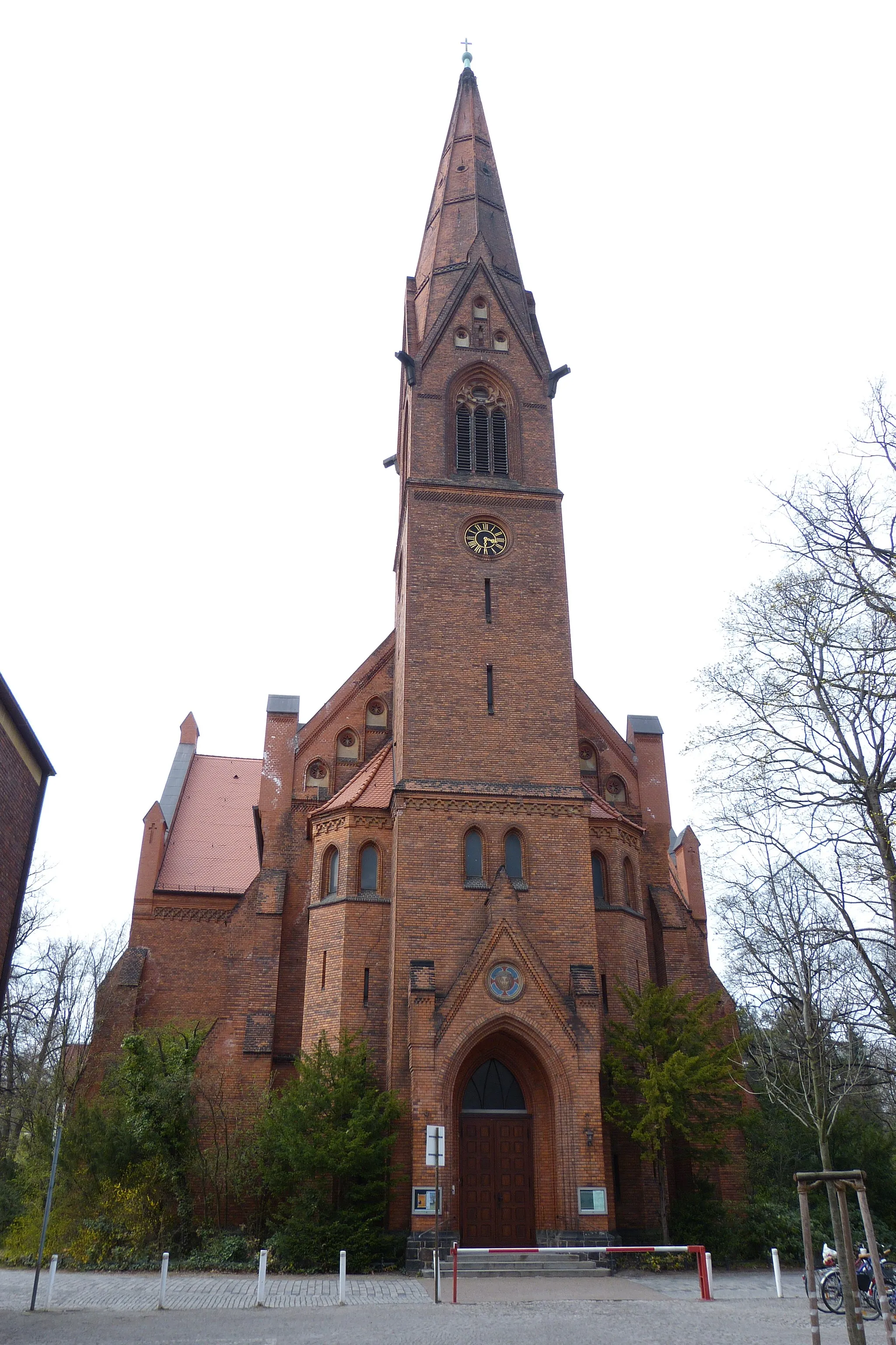
Planetarium am InsulanerAttractionVisit the Planetarium am Insulaner and immerse yourself in the wonders of the cosmos.
12 km
12 km
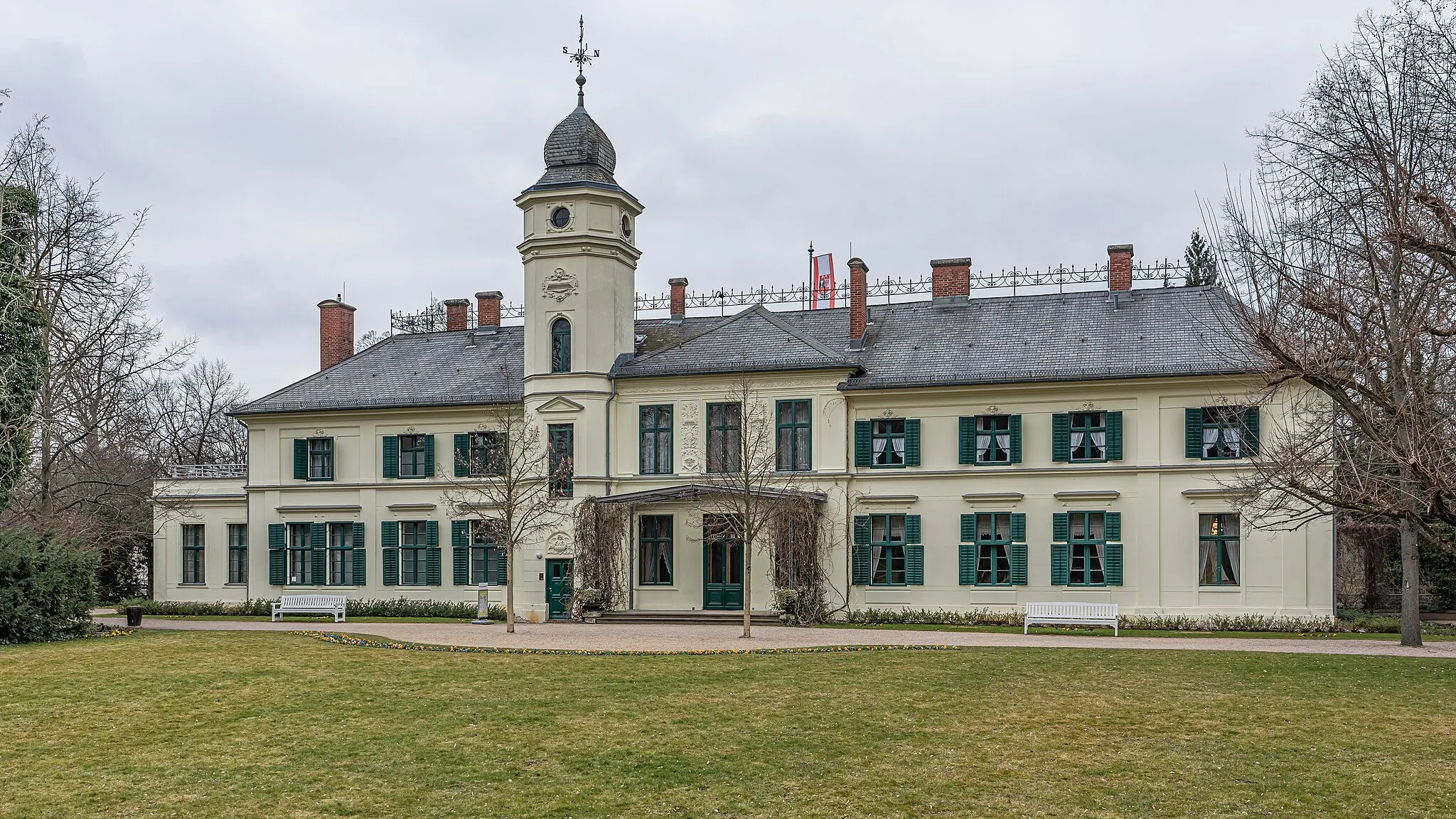
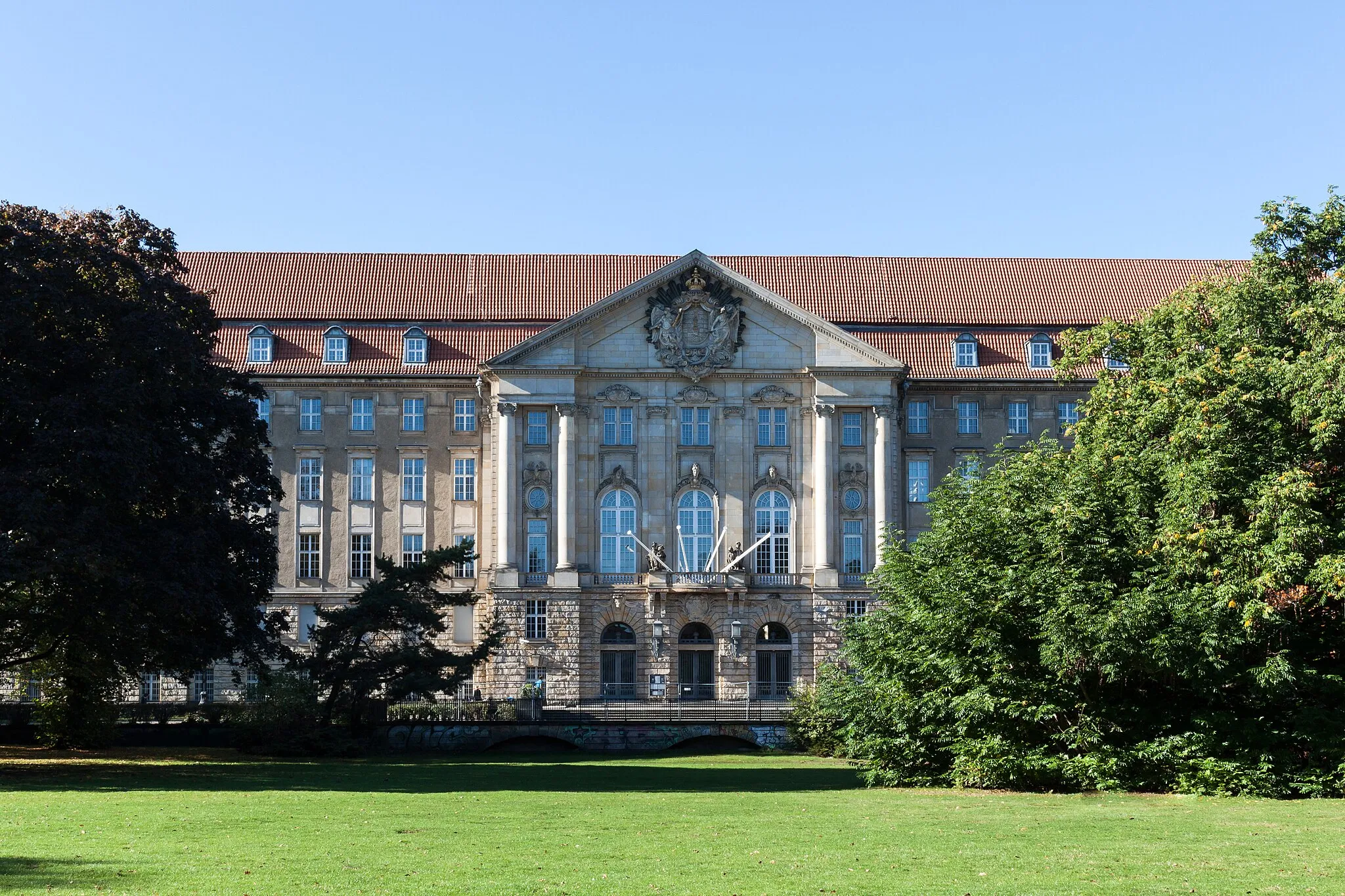
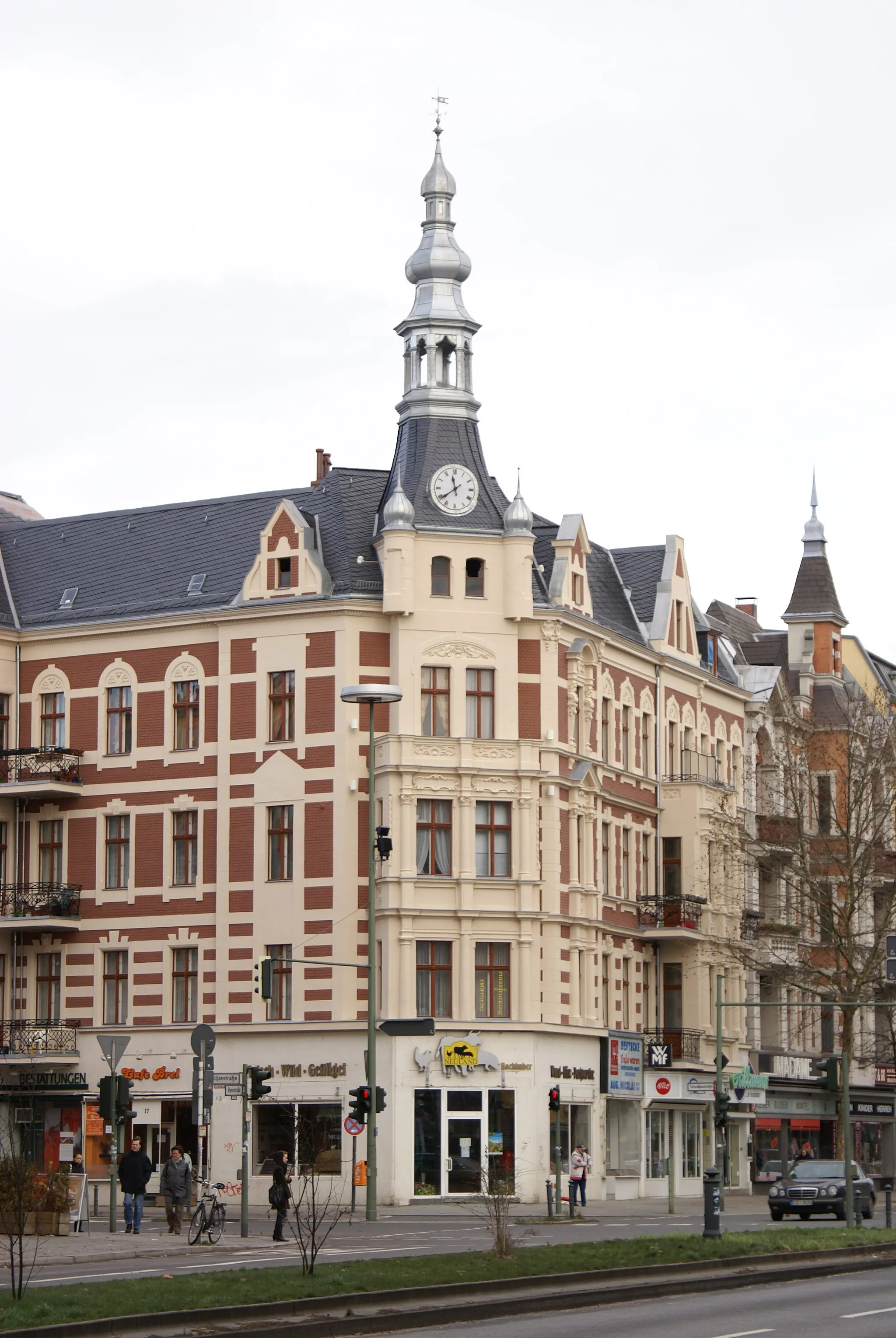
CharlottenburgSub-urbExplore the Charlottenburg district and take in the beautiful view of the iconic Charlottenburg Palace.
13 km
13 km
Beautiful view on castle CharlottenburgViewpointEnjoy a stunning view of Charlottenburg Castle from a vantage point along the route. Capture memorable photos of this iconic landmark.
27 km
27 km
PanoramapointViewpointStop by Panoramapoint and experience breathtaking panoramic views of the surrounding countryside.
28 km
28 km
AkzisemauerAttractionMarvel at the historic Akzisemauer, a wall that once marked a toll boundary.
37 km
37 km
MariendorfSub-urbExplore the diverse Mariendorf district, known for its variety of attractions and vibrant atmosphere.
37 km
37 km
Finish: Locality centerMariendorf: Blend of urban and countryside cycling routes
Cycling routes from Mariendorf:
Cycling routes nearby: