Göttlin Gravel Ride
A gravel cycling route starting from Premnitz
Embark on an exciting gravel ride and explore the scenic beauty of Göttlin.
Map
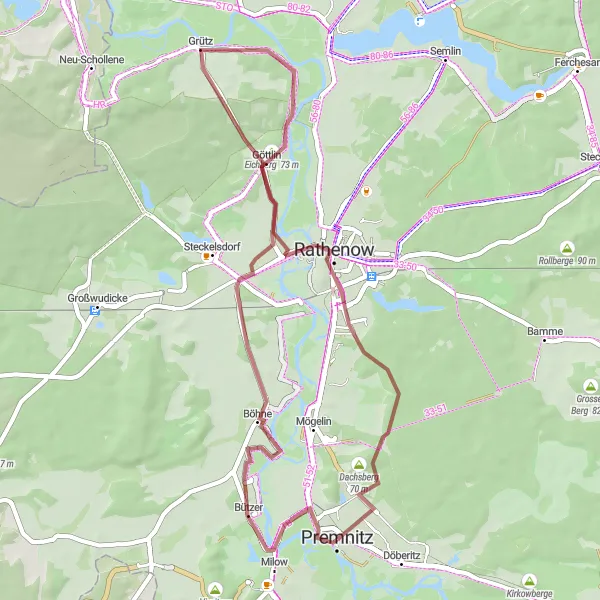
This 44 km gravel route offers breathtaking views and historical discoveries near Premnitz. Ride through remarkable attractions like Postberg, Bützer, Mühlberg, Grütz, Eichberg, Göttlin, and Schienenberg. Don't miss out on the opportunity to explore the serene landscapes and cultural treasures along the journey.
gravel
44 km
91 m
Chill
Route profile
Highlights on the route
0 km
0 km
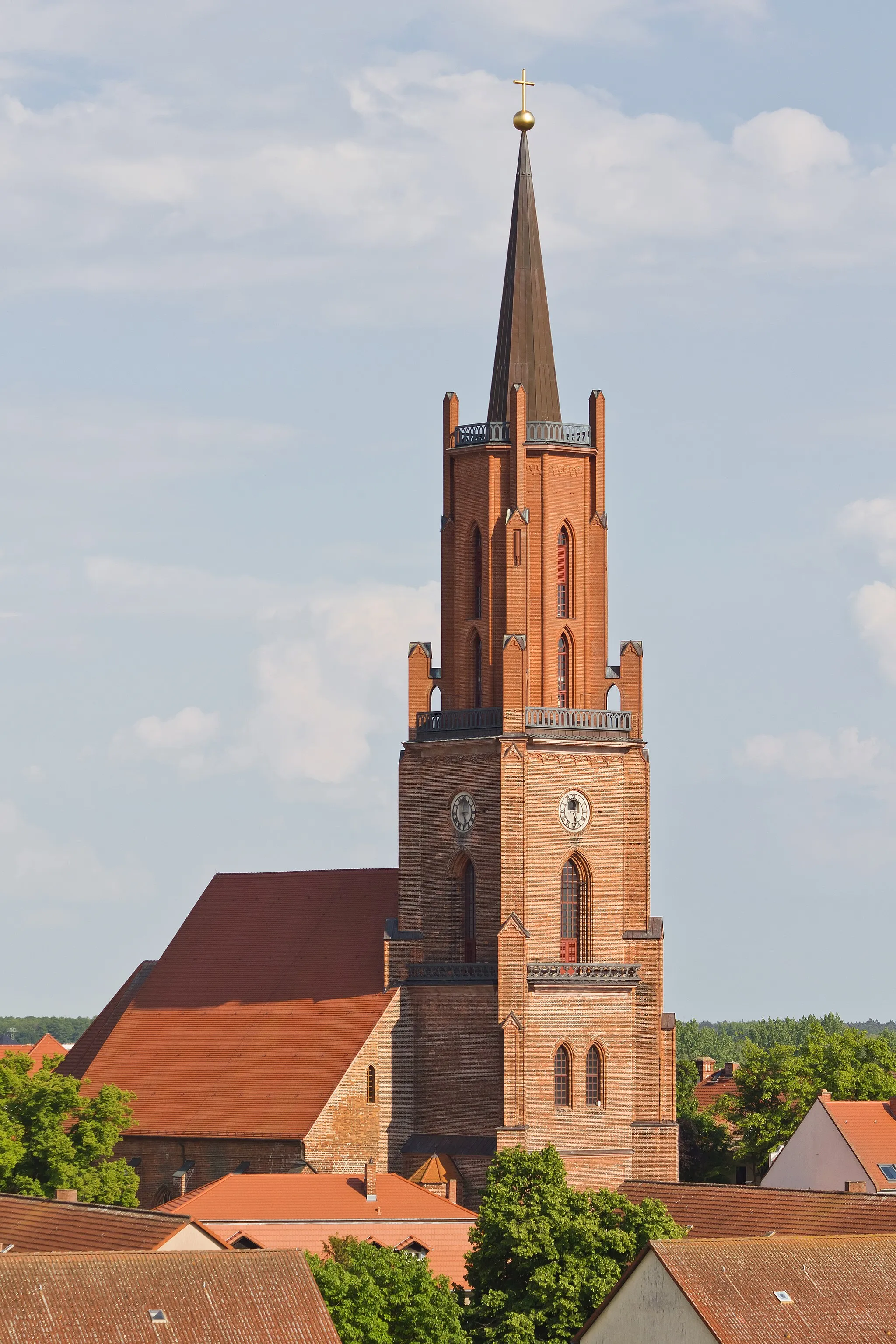
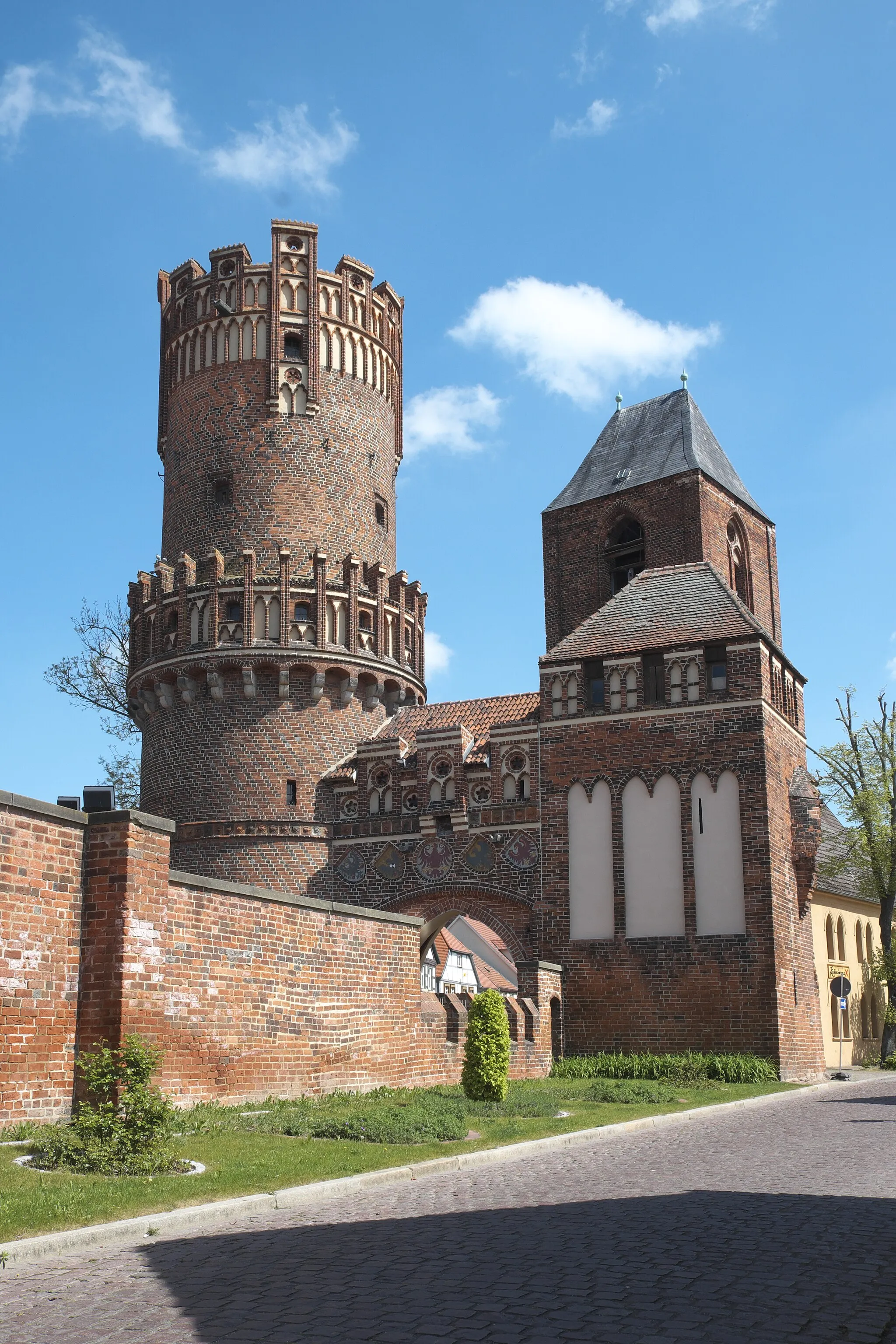
Start: Premnitz City centerPremnitz: Peaceful cycling through scenic Brandenburg landscapes.
Premnitz is a locality in the Brandenburg region of Germany. The area offers a mix of road cycling routes and quieter country roads suitable for gravel cycling. Cyclists can enjoy rides through scenic landscapes, passing by tranquil lakes and forests. While there are no world-famous climbs in Premnitz, the region provides a pleasant cycling experience with relatively flat terrain. It is an ideal destination for those seeking peaceful rides in a picturesque German countryside setting.1 km
1 km
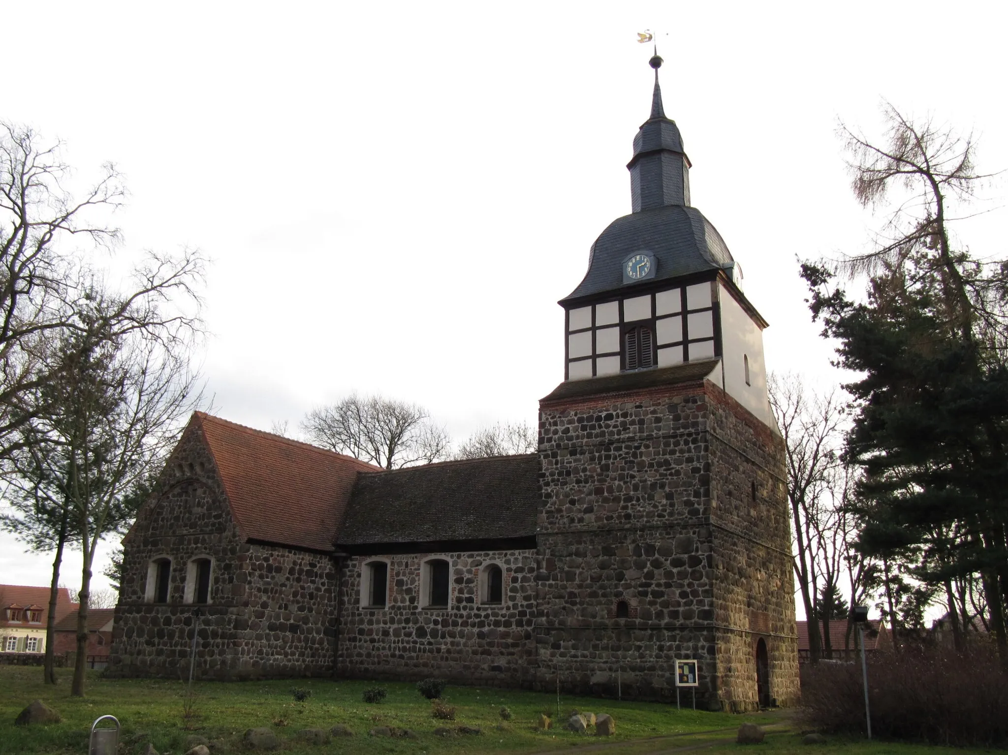
Postberg63 mPeakPass through Postberg, a small village offering serene views and peaceful surroundings.
4 km
4 km
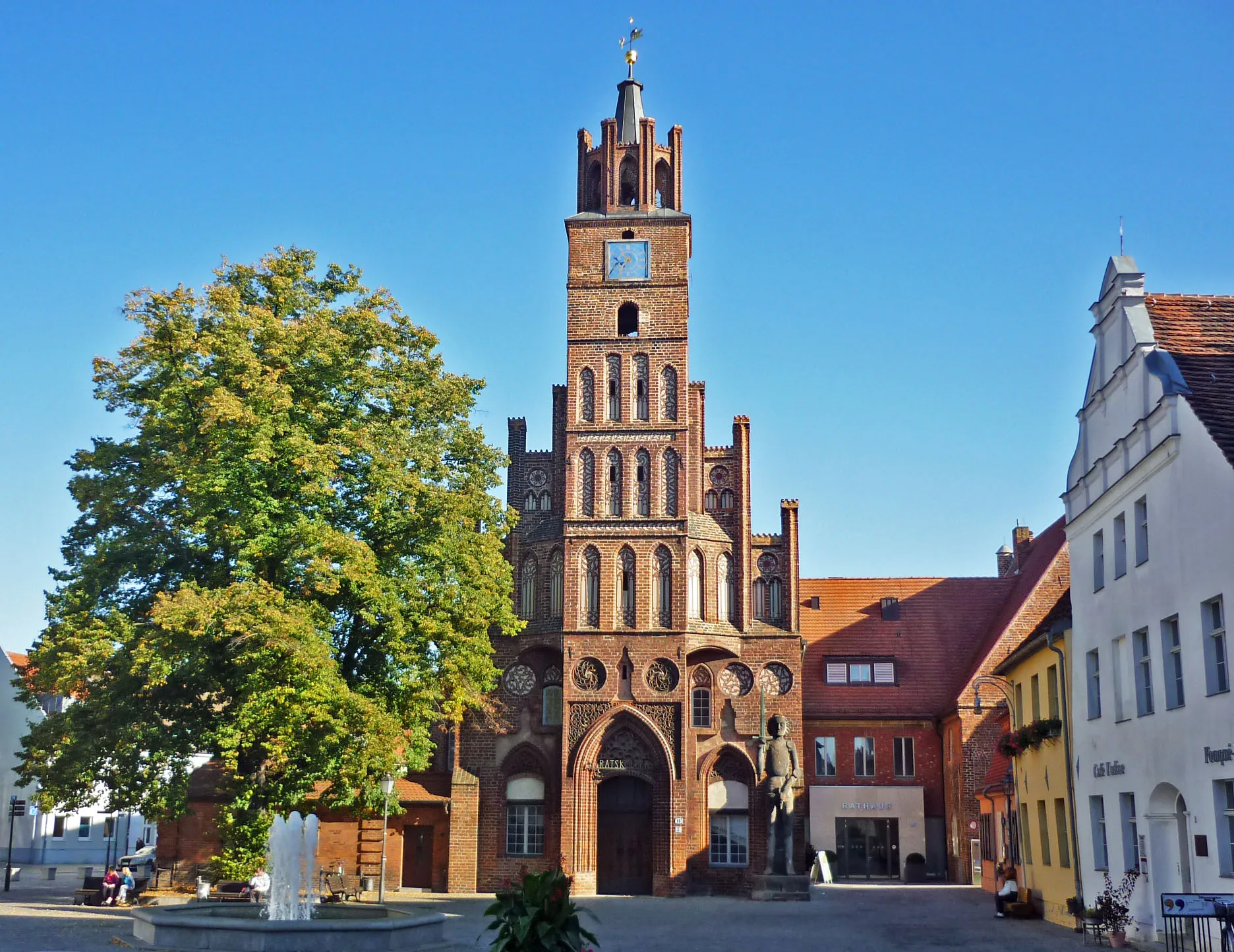
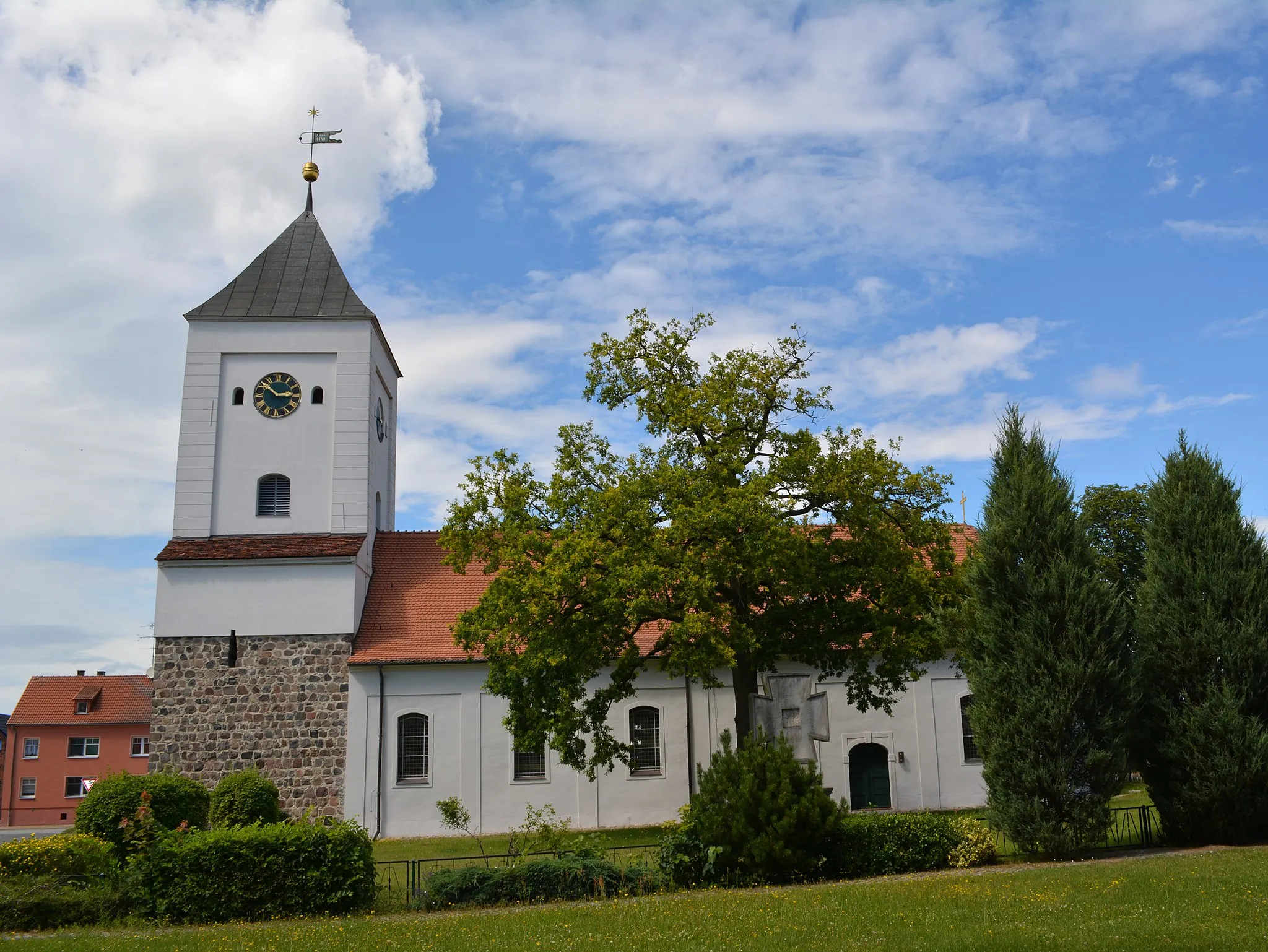
BützerVillageExperience the tranquility of Bützer and its breathtaking natural beauty.
21 km
21 km
Mühlberg44 mPeakCycle through the picturesque Mühlberg region and immerse yourself in the scenic landscapes.
22 km
22 km
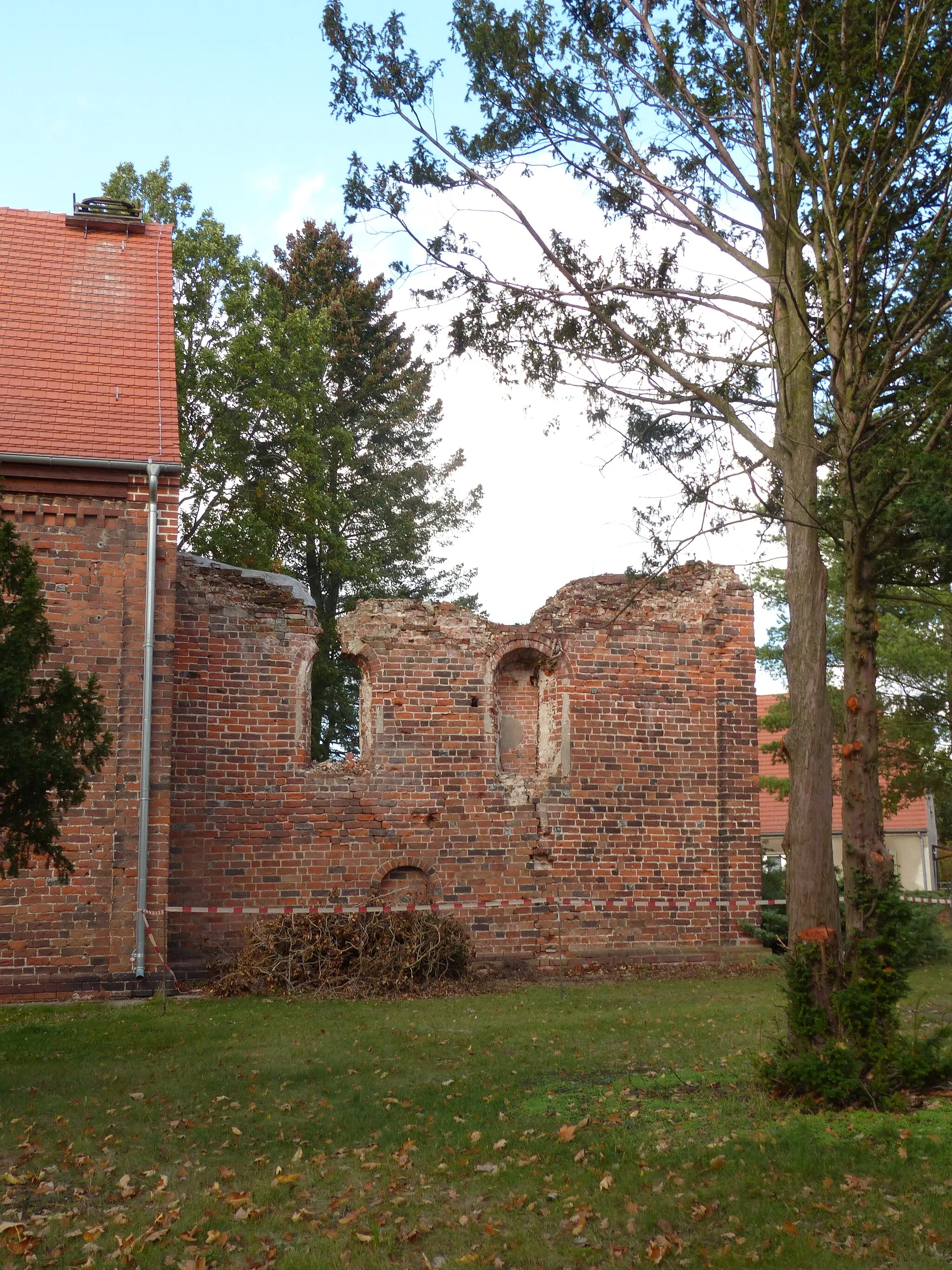
GrützVillageDiscover the charms of Grütz and its historical architecture.
28 km
28 km
Eichberg73 mPeakMarvel at the scenic views from Eichberg, a hidden gem among nature lovers.
28 km
28 km
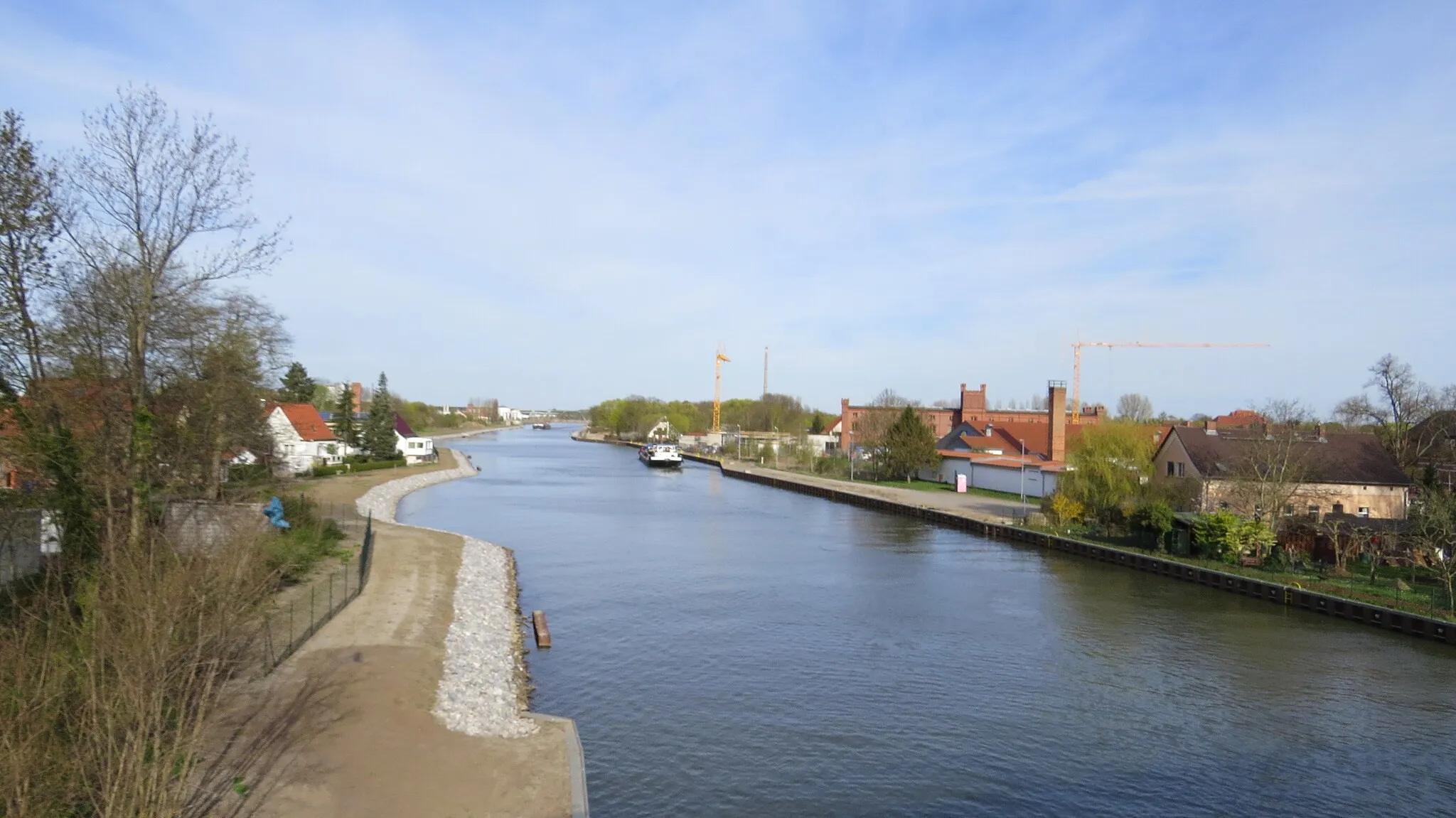
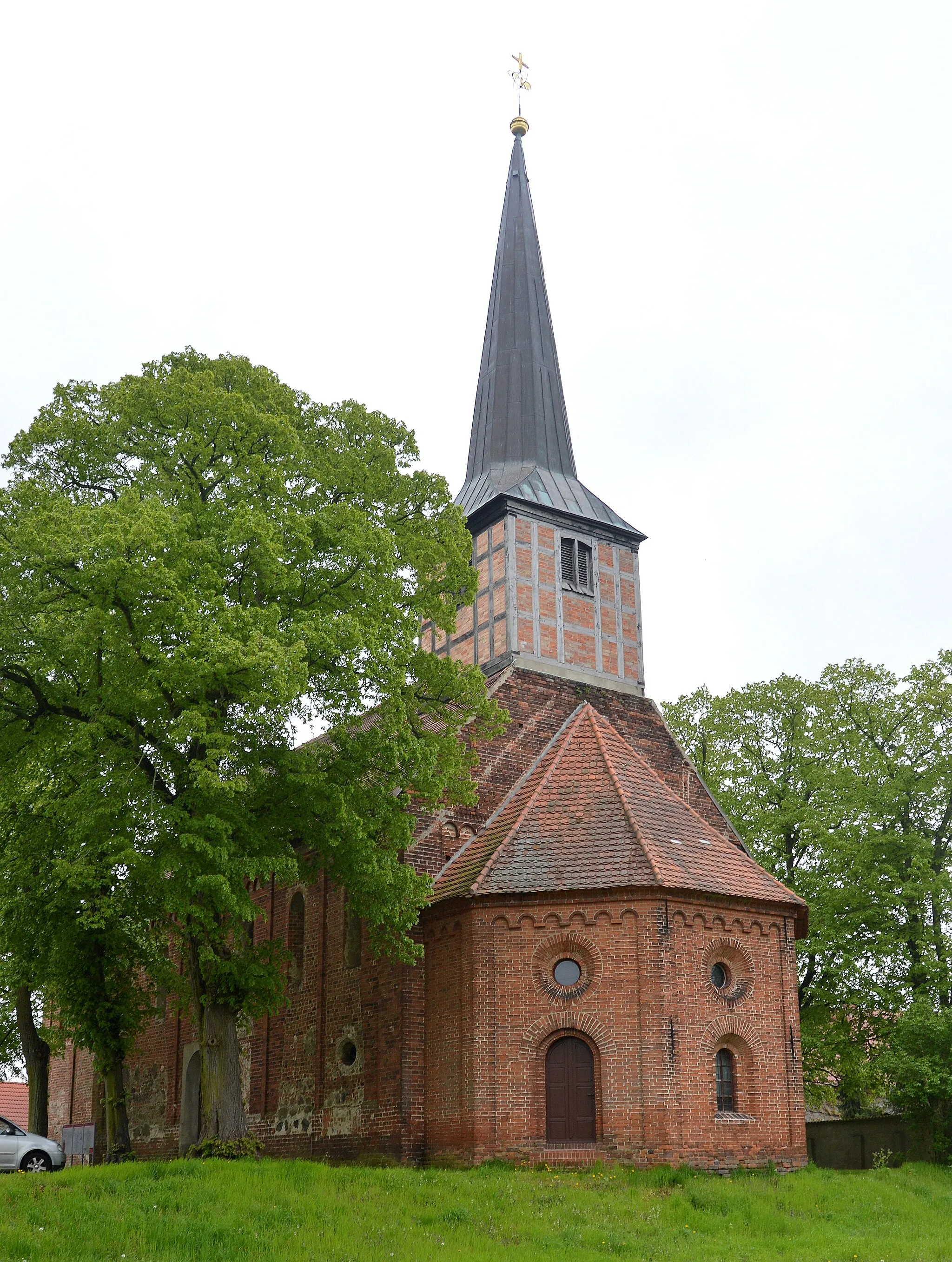
GöttlinVillageExplore the beauty of Göttlin and its surrounding nature, offering a serene atmosphere.
44 km
44 km
Schienenberg36 mPeakConquer the challenging Schienenberg climb, known for its demanding elevation gain.
44 km
44 km
Finish: Premnitz City centerPremnitz: Peaceful cycling through scenic Brandenburg landscapes.
Cycling routes nearby: