Berlin Hills Road Challenge
A road cycling route starting from Schoeneiche
Conquer challenging climbs and experience breathtaking views on this road cycling route
Map
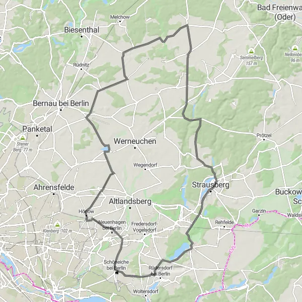
Climb challenging hills and conquer demanding ascents on this 99-kilometer road cycling route. With an ascent of 331 meters, this route is suitable for experienced cyclists seeking a test of strength and endurance. Highlights include the scenic Heckelberg and the impressive Wachtelturm observation tower.
road
99 km
331 m
Savage
Route profile
Highlights on the route
0 km
0 km
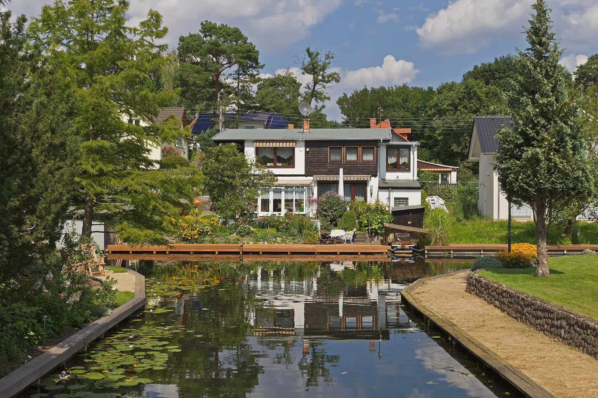
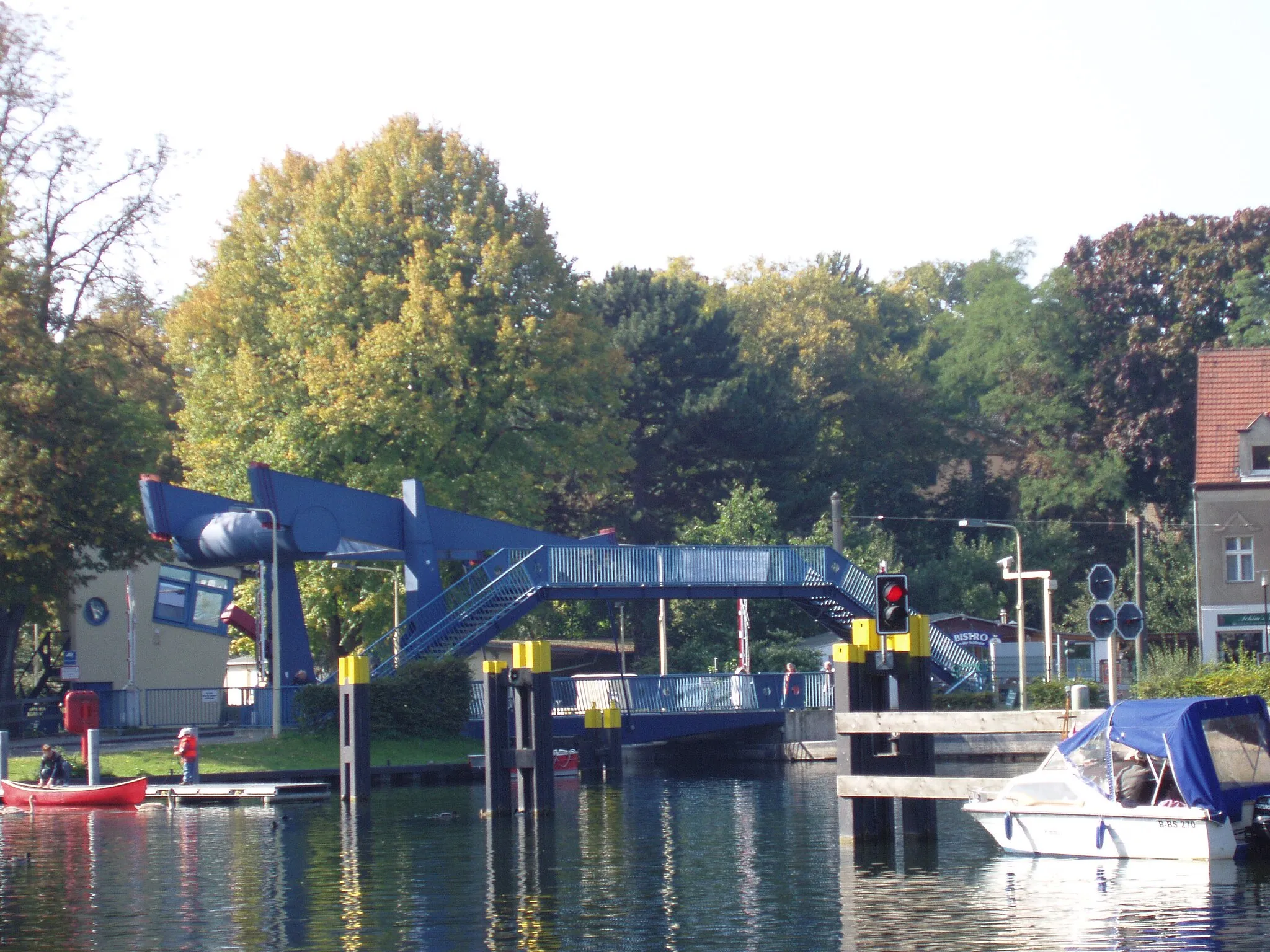
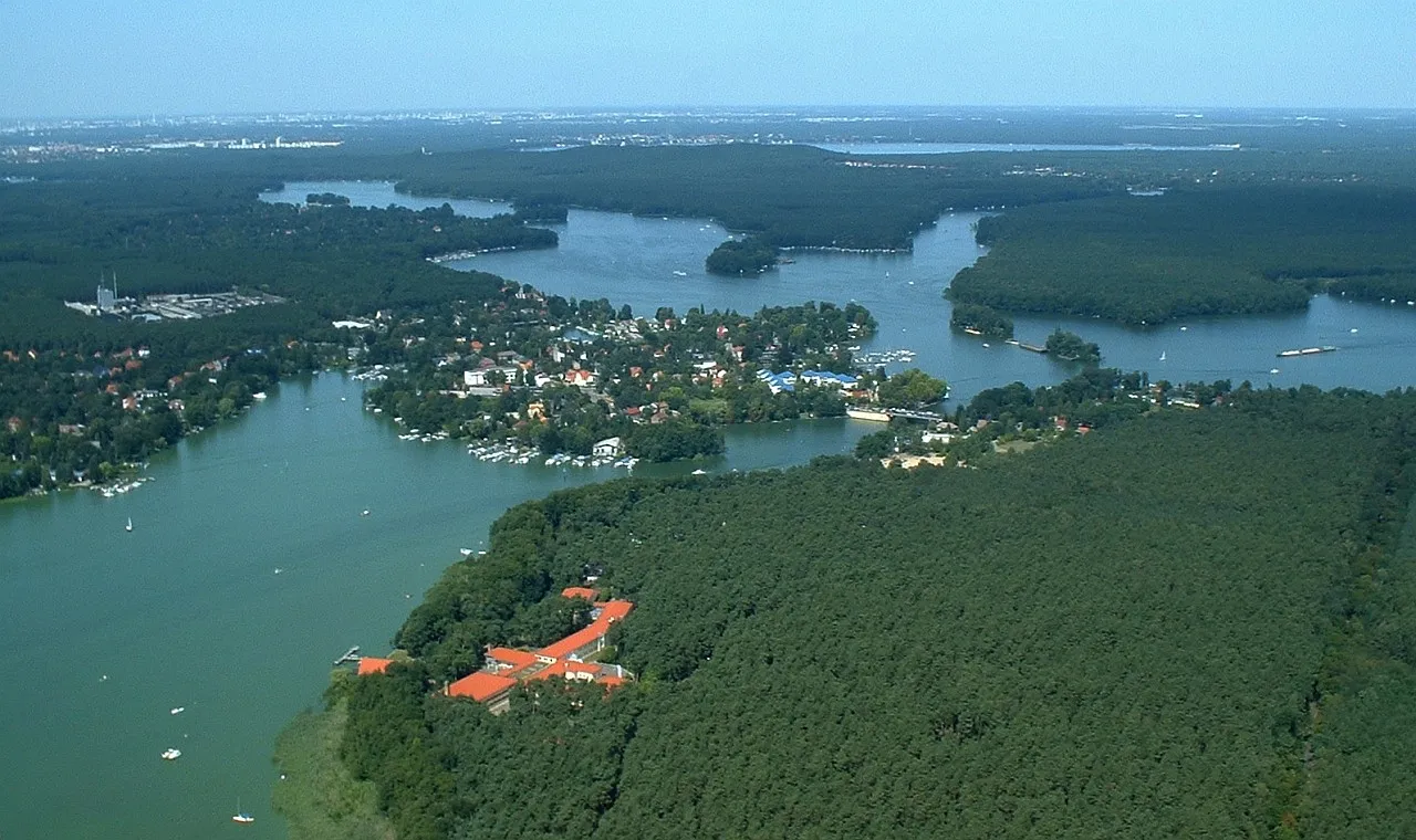
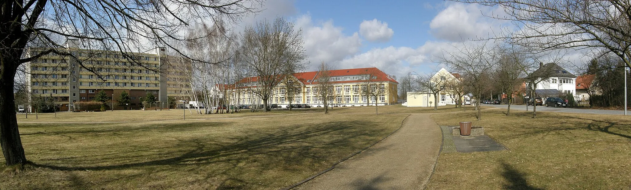
Start: Schöneiche bei Berlin Village centerSchöneiche: Cycling in Schöneiche
Schöneiche is a municipality located in the Brandenburg region of Germany. From a cyclist's point of view, Schöneiche offers a mix of urban and rural landscapes. The town has well-paved roads suitable for road cycling, and there are also gravel paths available for those who prefer off-road cycling. However, there are no famous cycling spots or well-known climbs in the immediate vicinity.12 km
12 km
HönowVillagePass through the picturesque village of Hönow on your way to the challenging climbs.
28 km
28 km
BörnickeVillageStop in Börnicke and take in the beautiful landscapes surrounding you.
37 km
37 km
TempelfeldeVillageChallenge yourself with the ascent to Tempelfelde, known for its steep and demanding climb.
47 km
47 km
Tuchen-KlobbickeVillageExperience the breathtaking views from Tuchen-Klobbicke, a popular cycling spot in the area.
54 km
54 km
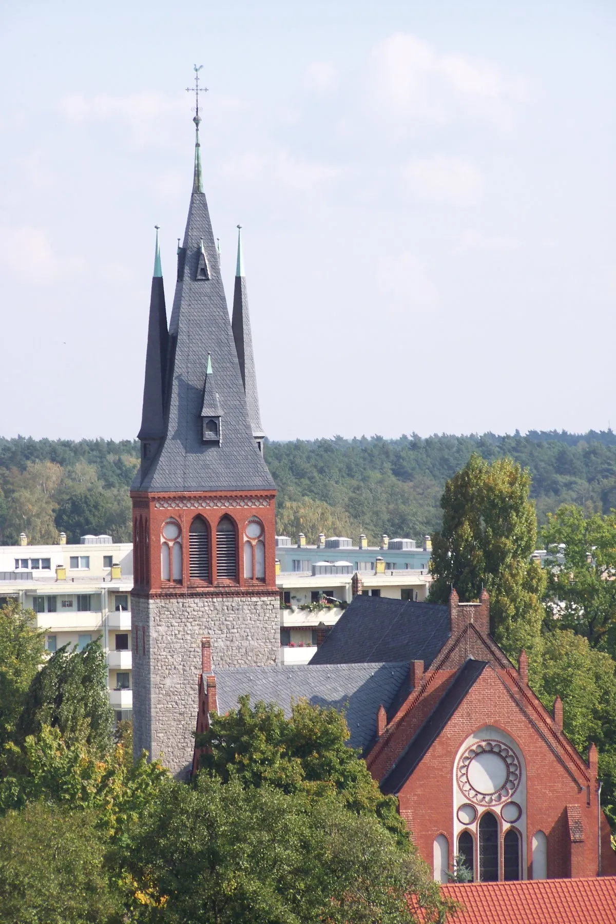
HeckelbergVillagePass through the scenic village of Heckelberg and enjoy the tranquility of the countryside.
64 km
64 km
Dachsberg133 mPeakAdmire the spectacular views from the Dachsberg viewpoint, overlooking the rolling hills of Brandenburg.
78 km
78 km
Weinberge84 mPeakRide through the lush vineyards of Weinberge and experience the beauty of the surrounding landscape.
86 km
86 km
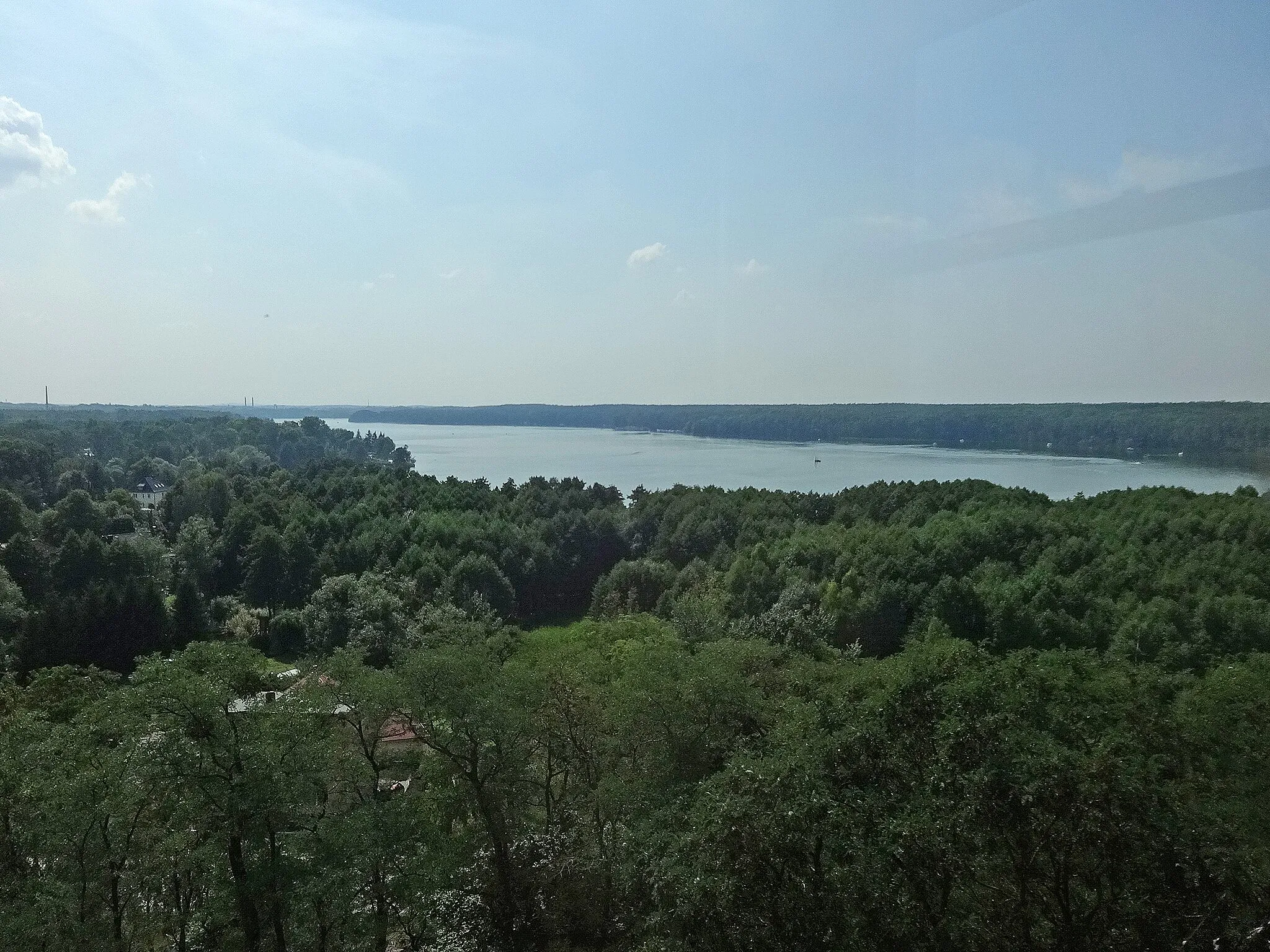
WachtelturmAttractionClimb to the top of the Wachtelturm observation tower and enjoy panoramic views of the surrounding countryside.
99 km
99 km
Schöneiche bei BerlinVillageFinish your challenging journey in Schöneiche bei Berlin, surrounded by natural beauty and quaint villages.
99 km
99 km
Finish: Schöneiche bei Berlin Village centerSchöneiche: Cycling in Schöneiche
Cycling routes from Schoeneiche:
Schöneiche Road Loop Schöneiche Gravel Route Scenic Gravel Adventure Around Berlin Gravel Adventure Berlin Hills Road Challenge The Hills and Heritage Ride Plethora of Landscapes and Historical Landmarks Discover Serene Forests and Picturesque Villages The Lakes and Forests Loop Brandenburg Nature Tour
Cycling routes nearby: