Marienberg Loop
A road cycling route starting from Strausberg
Explore the Marienberg region on this scenic road cycling route
Map
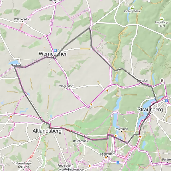
The Marienberg Loop is a 44-kilometer road cycling route in the Marienberg region near Strausberg. With a moderate ascent of 119 meters, this route is suitable for all levels of cyclists. The highlights along the route include Marienberg, Altlandsberg, Werneuchen, and Friedrich-Schiller-Höhe. You'll cycle through charming villages, past the picturesque Marienberg Castle, and enjoy scenic views of the surrounding countryside. This route is perfect for a leisurely day of cycling, with plenty of opportunities to stop and explore the historical and cultural sites along the way.
road
44 km
119 m
Chill
Route profile
Highlights on the route
0 km
0 km
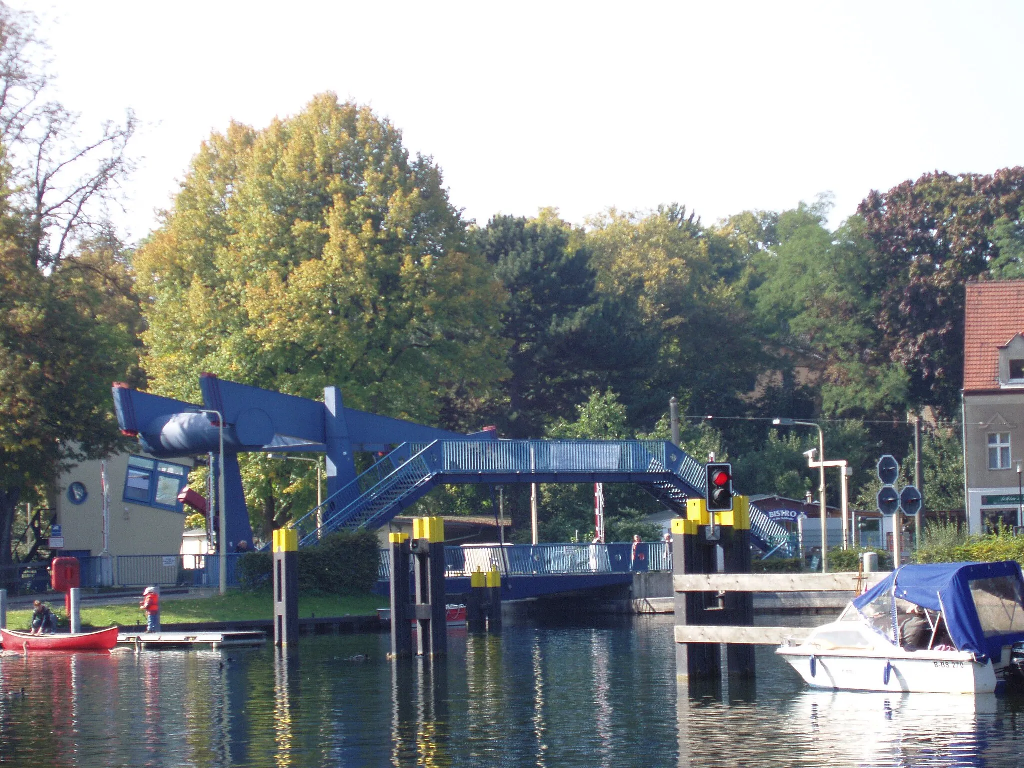
Start: Strausberg City centerStrausberg: Exploring the scenic beauty of Strausberg's forested routes and tackling challenging climbs.
Strausberg in Brandenburg, Germany, is an excellent destination for road cycling and gravel riding. The town is surrounded by beautiful forests and lakes, offering scenic routes for cyclists. Additionally, Strausberg is known for its proximity to the famous Märkische Schweiz climbing region, which attracts many cycling enthusiasts. With its diverse landscapes and renowned climbing spots, Strausberg is a fantastic locality for all types of cycling.2 km
2 km
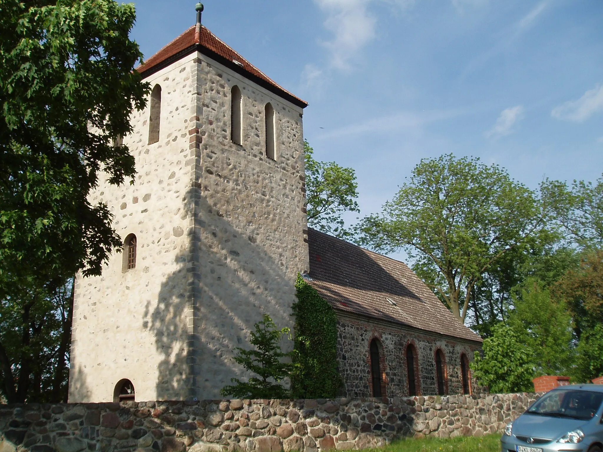
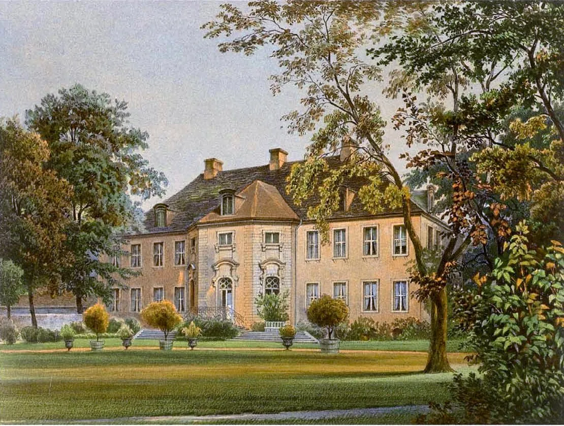
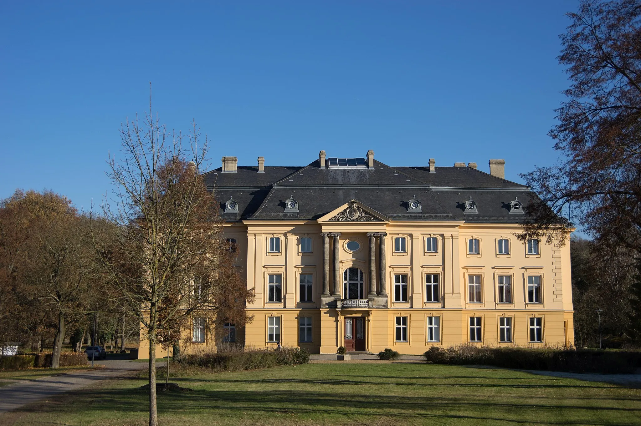
Marienberg94 mPeakMarienberg is a charming village known for its imposing castle, which is a popular tourist attraction.
13 km
13 km
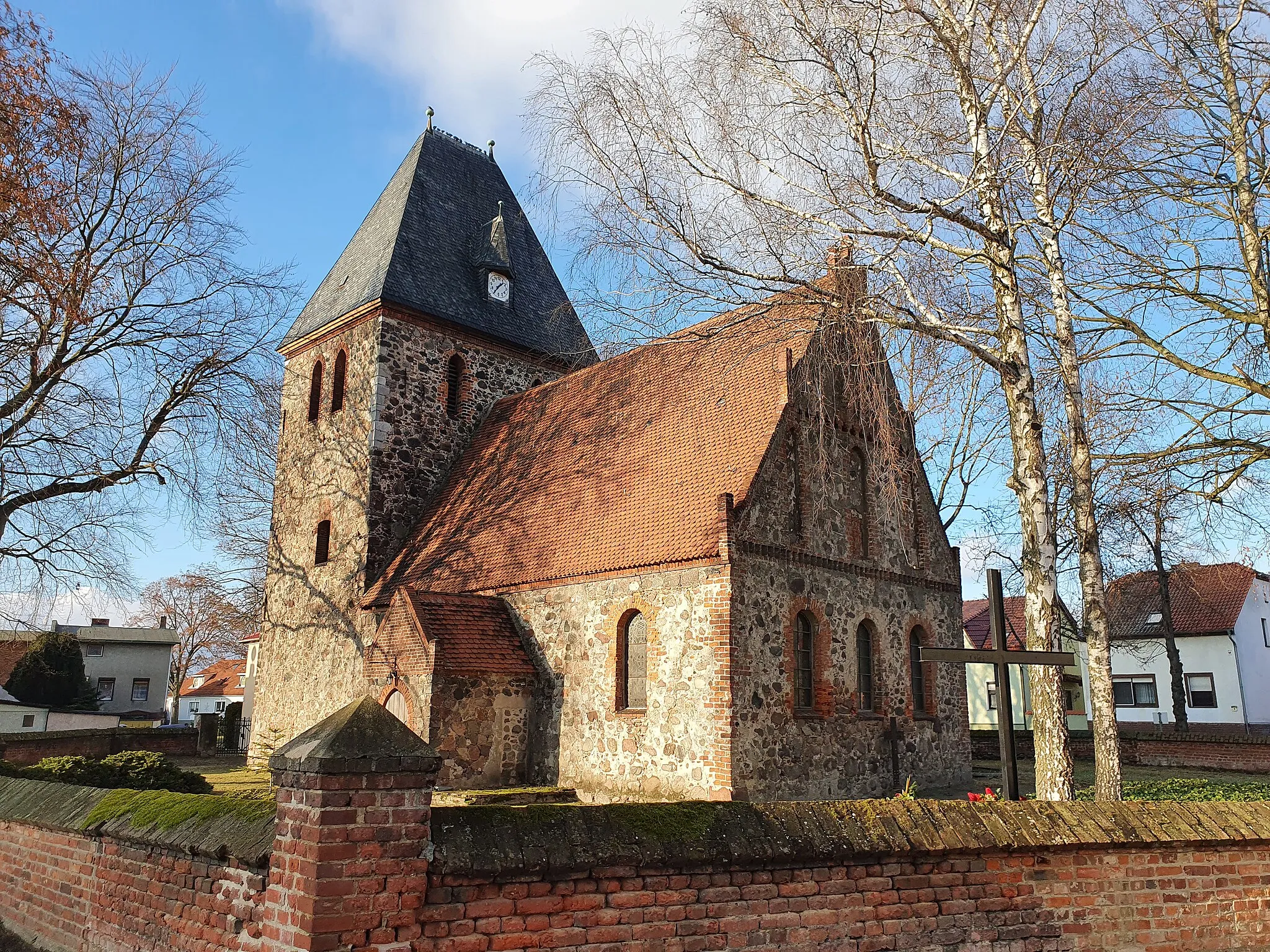
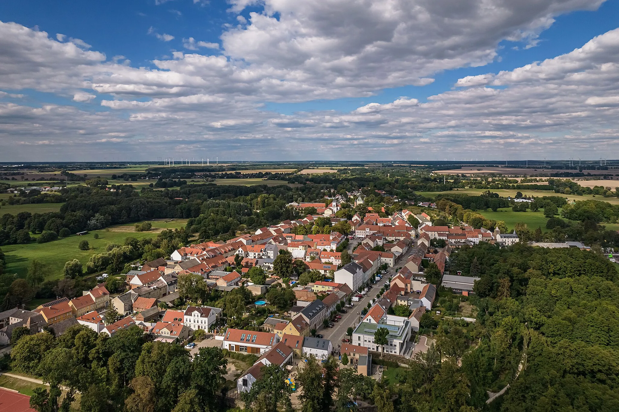
AltlandsbergTownAltlandsberg is a historic town with well-preserved medieval architecture, including the impressive St. Mary's Church.
25 km
25 km
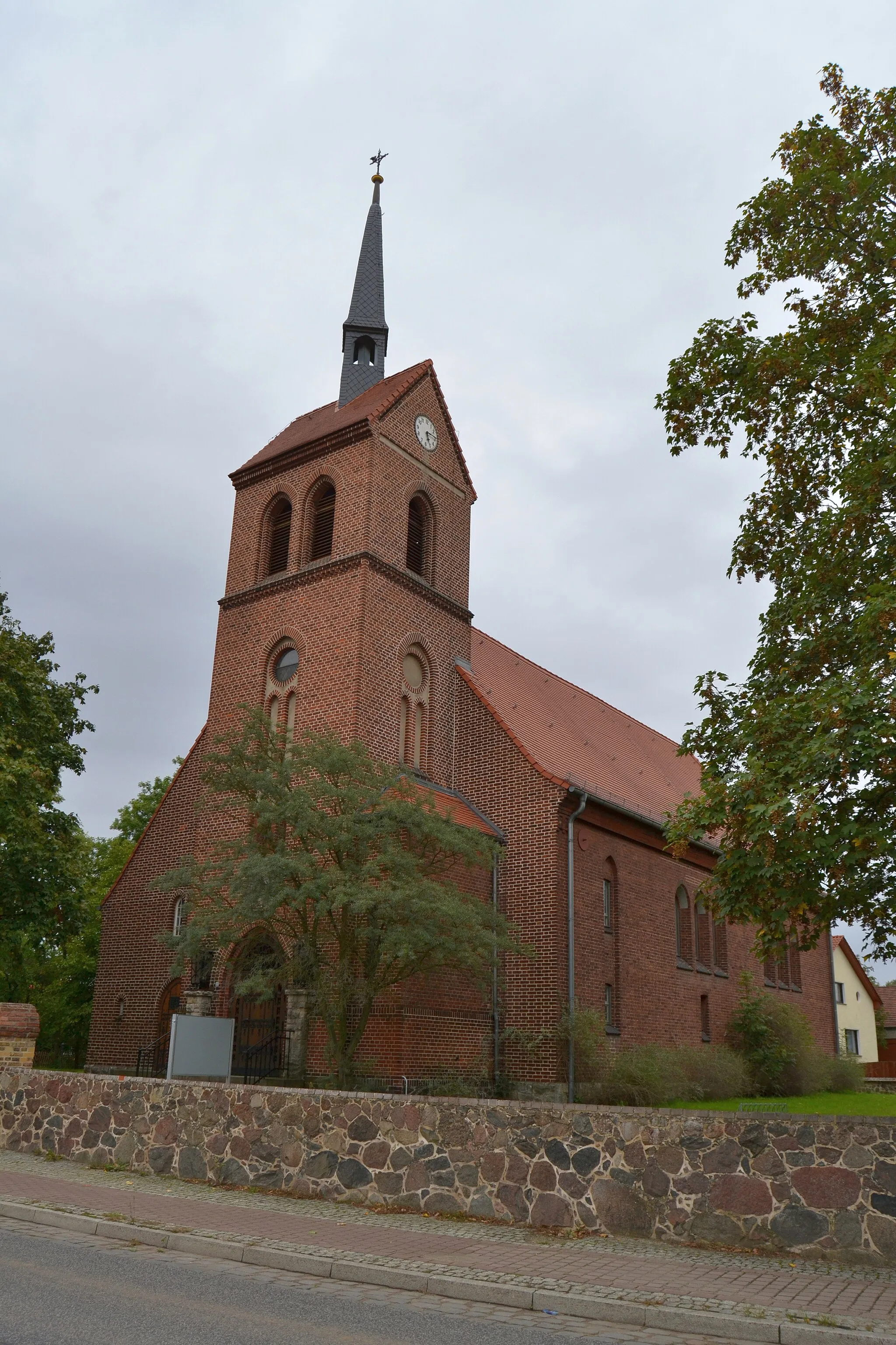
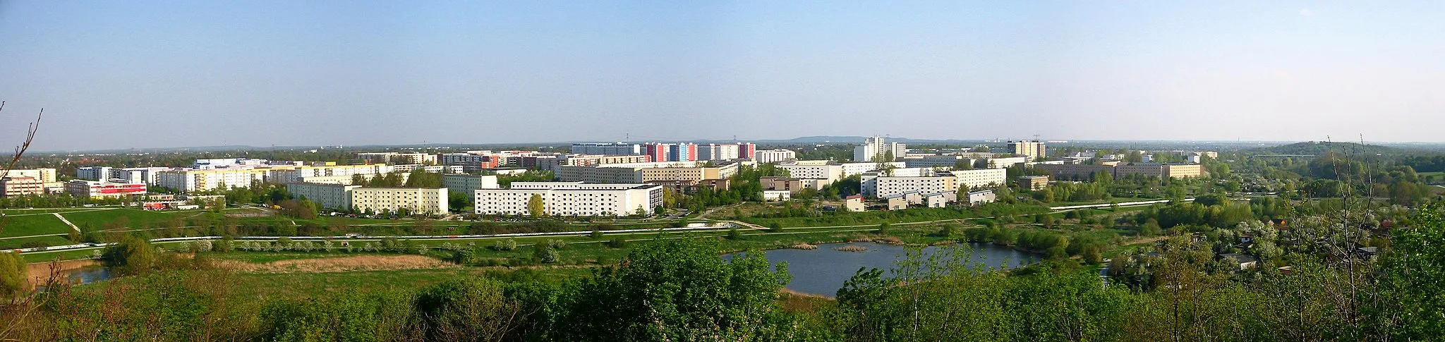
WerneuchenTownWerneuchen is a small town with a rich history and several historical buildings, including the St. George's Church.
41 km
41 km
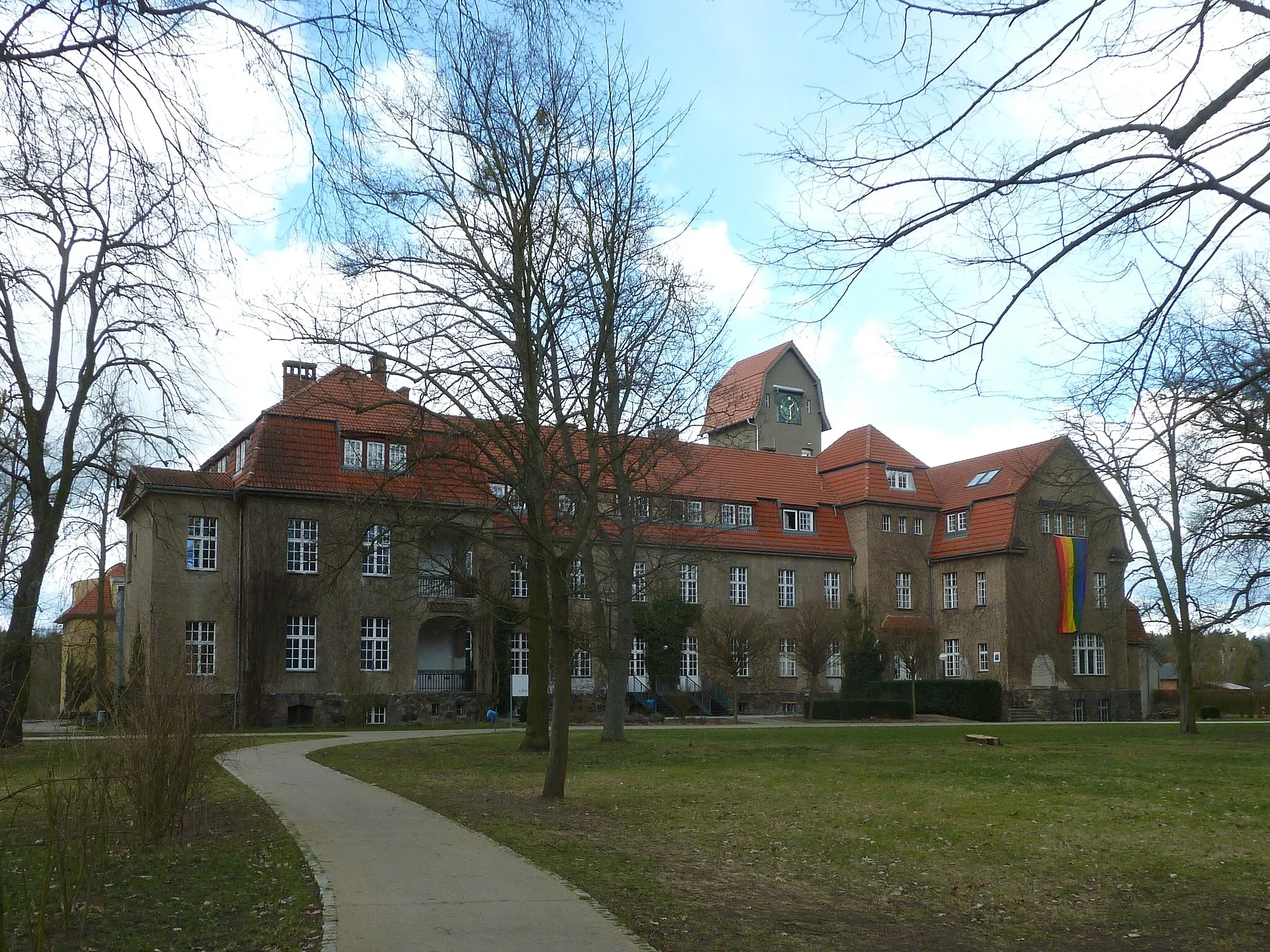
Friedrich-Schiller-HöheSub-urbFriedrich-Schiller-Höhe is a scenic hill that offers panoramic views of the surrounding countryside.
44 km
44 km
Finish: Strausberg City centerStrausberg: Exploring the scenic beauty of Strausberg's forested routes and tackling challenging climbs.
Cycling routes nearby: