The Historical Landscapes Ride
A gravel cycling route starting from Ziesar
Immerse yourself in the history of Brandenburg on this gravel route
Map

Experience the rich history of Brandenburg as you cycle through its historical landscapes. This gravel route offers a moderate level of difficulty, with some gentle ascents to challenge your legs. Take a moment to appreciate the beauty of Glienecke and Verlorenwasser, and enjoy the views from Küsterberg. Finish your ride in Ziesar, a town known for its medieval fortress. Overall, it's a historically significant and scenic ride perfect for amateur cyclists looking to learn more about the region's heritage.
gravel
47 km
211 m
Tough
Route profile
Highlights on the route
0 km
0 km
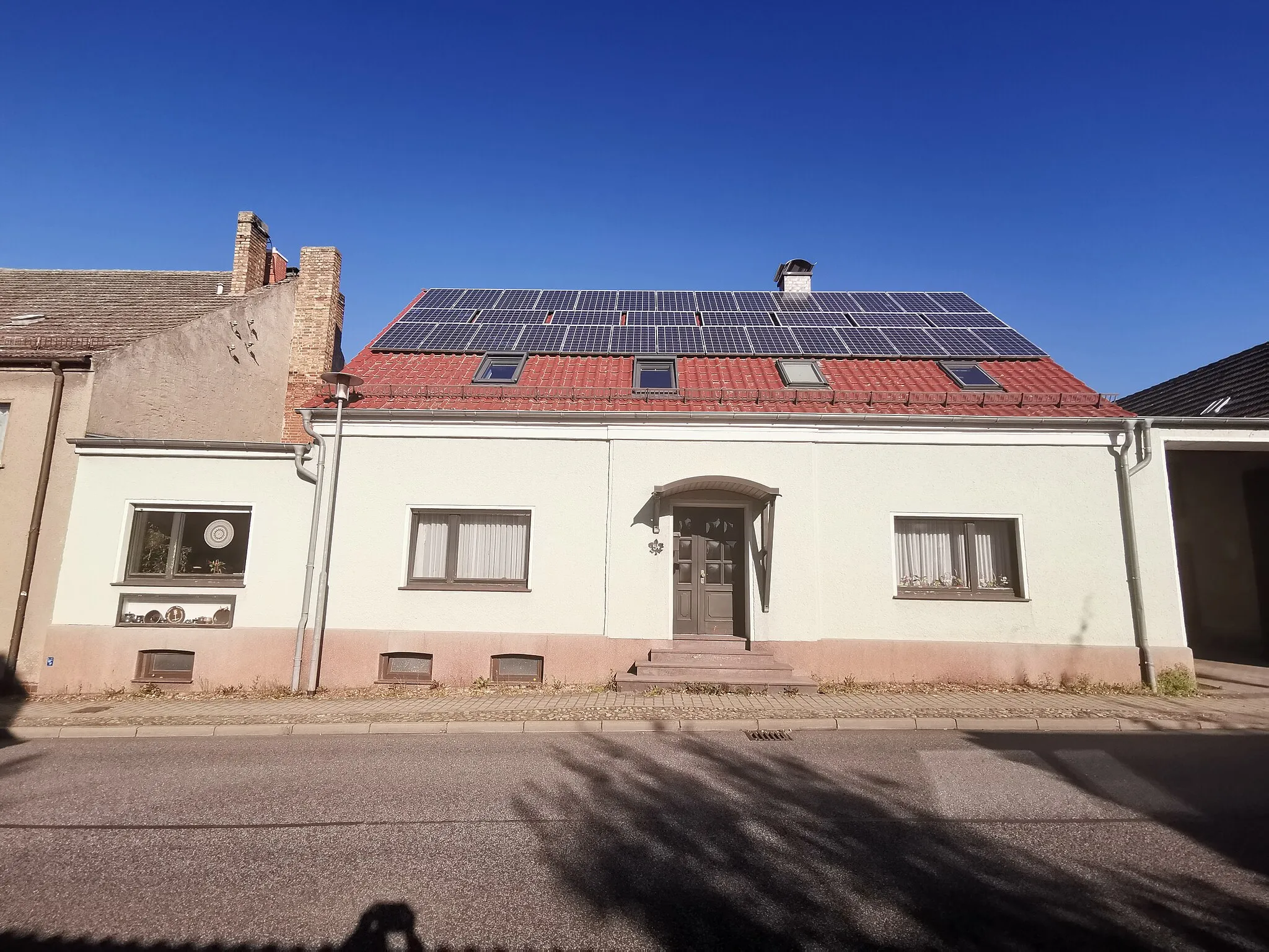
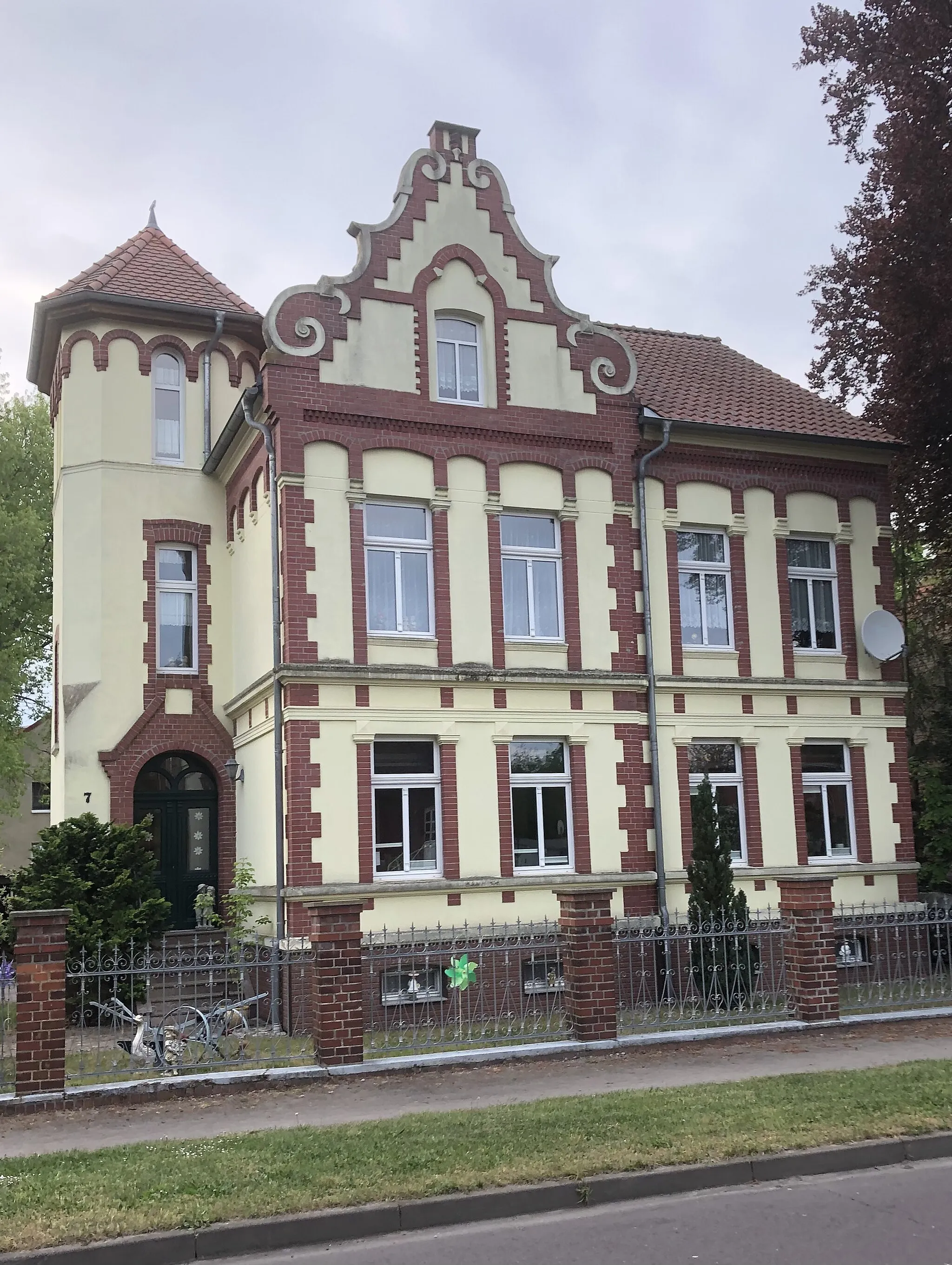
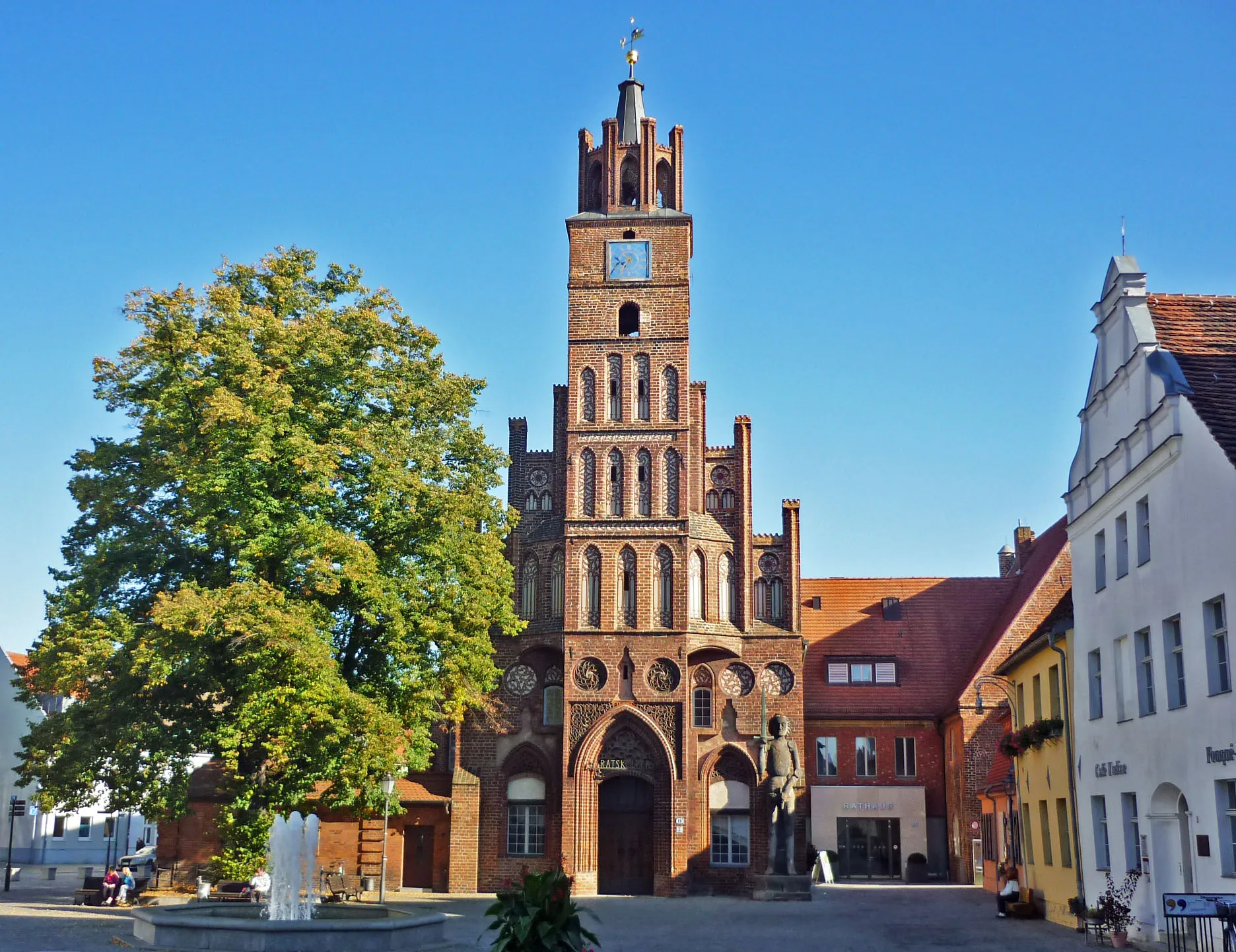
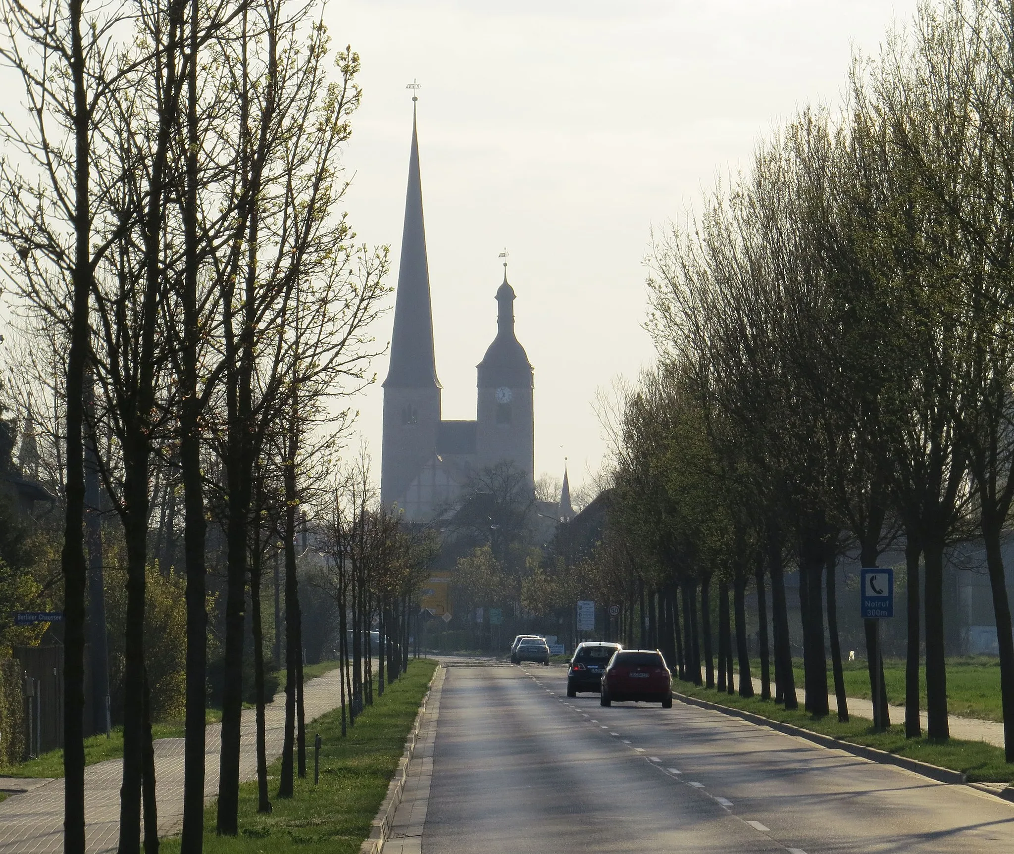
Start: Ziesar City centerZiesar: Discover history on two wheels in Ziesar
Ziesar, a locality in Brandenburg, Germany, is a historical town offering a unique cycling experience. Cyclists can explore the town's medieval architecture while riding through its charming streets. The surrounding countryside boasts flat terrain, making it perfect for leisurely rides and exploring nearby castles and lakes. While Ziesar may not have famous cycling climbs, its rich history and picturesque landscapes make it a fascinating destination for cyclists interested in cultural and scenic experiences.7 km
7 km
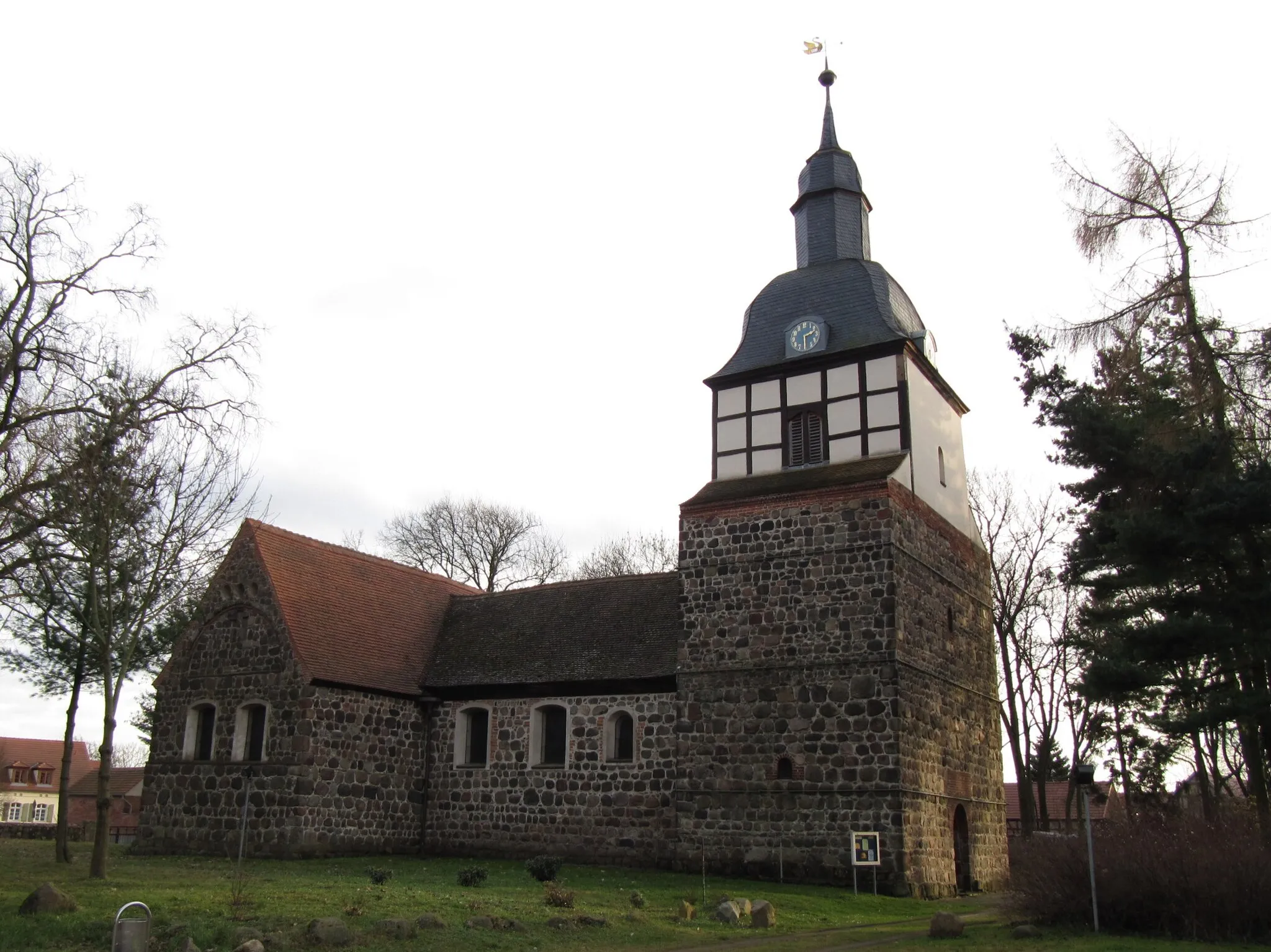
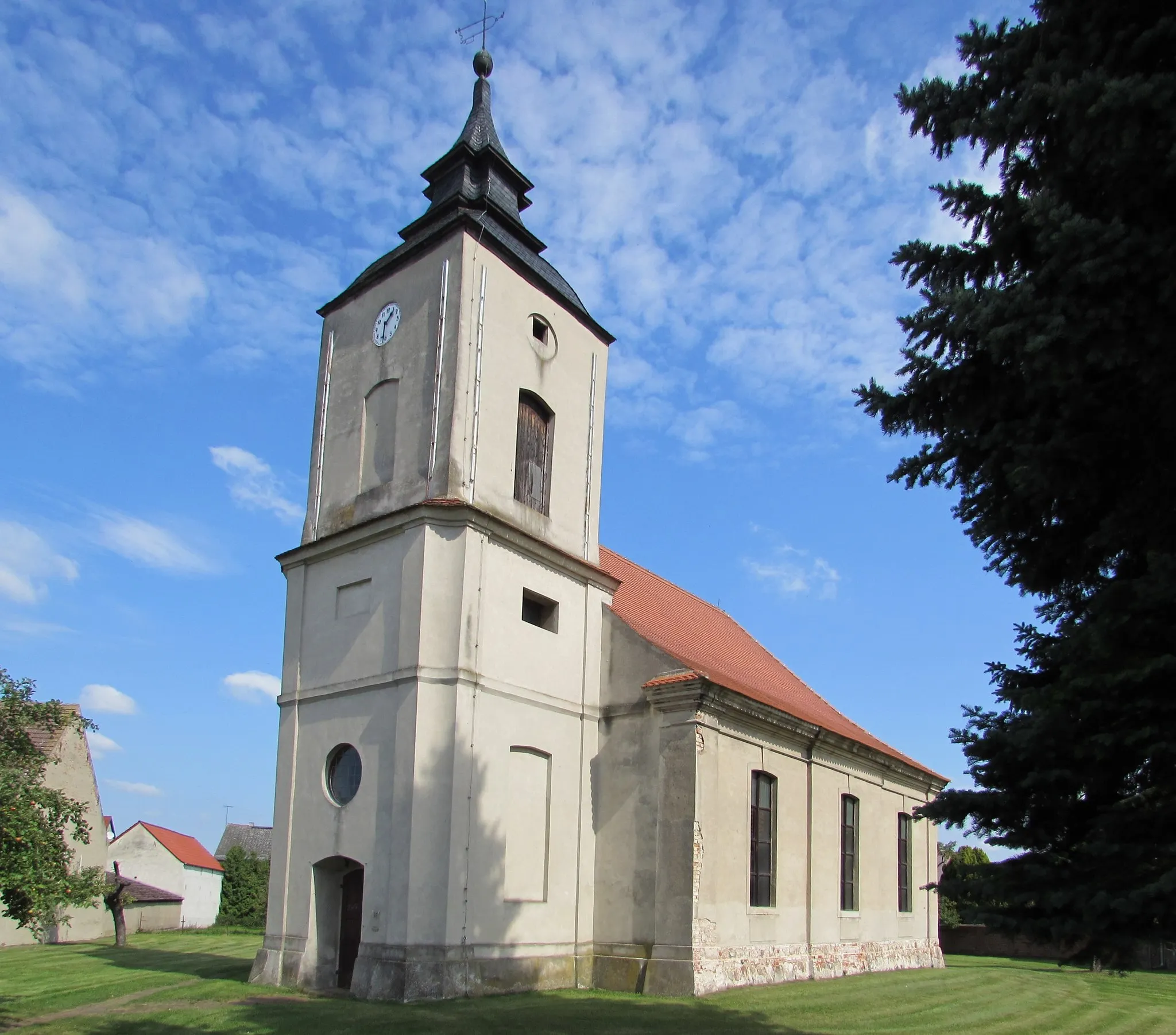
GlieneckeVillageVisit Glienecke and learn about its important role in the region's history.
14 km
14 km
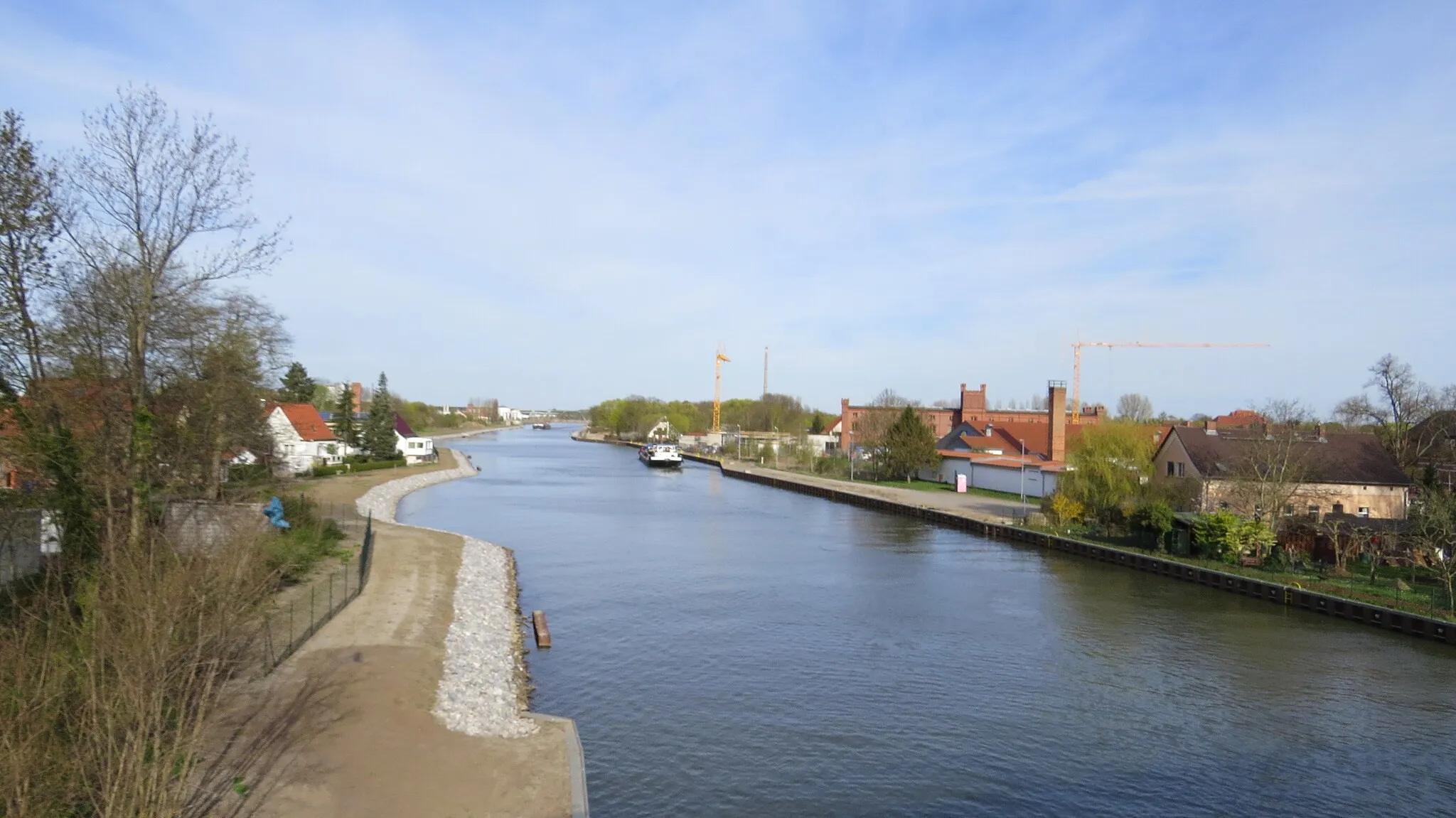
WollinVillageCycle through Wollin, a picturesque village known for its well-preserved traditional houses.
29 km
29 km
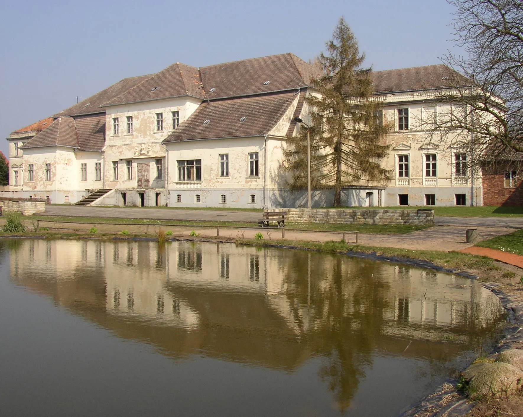
VerlorenwasserHamletStop at Verlorenwasser and take in the tranquil atmosphere of this idyllic place.
38 km
38 km
Küsterberg98 mPeakClimb Küsterberg and enjoy stunning panoramic views of the surrounding landscape.
48 km
48 km
ZiesarTownFinish your ride in Ziesar and explore its medieval fortress, which offers insight into the region's history.
47 km
47 km
Finish: Ziesar City centerZiesar: Discover history on two wheels in Ziesar
Cycling routes nearby: