Harz National Park Road Cycling
A road cycling route starting from Langelsheim
Discover the stunning Harz National Park on this road cycling route
Map
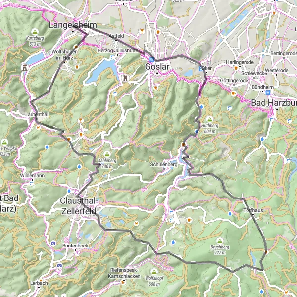
This road cycling route takes you through the breathtaking Harz National Park, offering scenic views of the mountainous landscape and dense forests. With a total distance of 79 kilometers and an ascent of 1302 meters, it offers a challenging yet rewarding experience for well-trained amateurs. The route includes highlights such as Kaiserhaus, a historic building with a rich history, and Torfhaus, a popular stop for hikers and cyclists alike. Overall, this route provides a unique opportunity to explore the natural beauty of the Harz region.
road
79 km
1302 m
Tough
Route profile
Highlights on the route
0 km
0 km
Start: Langelsheim City centerLangelsheim: Cycling paradise in Langelsheim, Germany
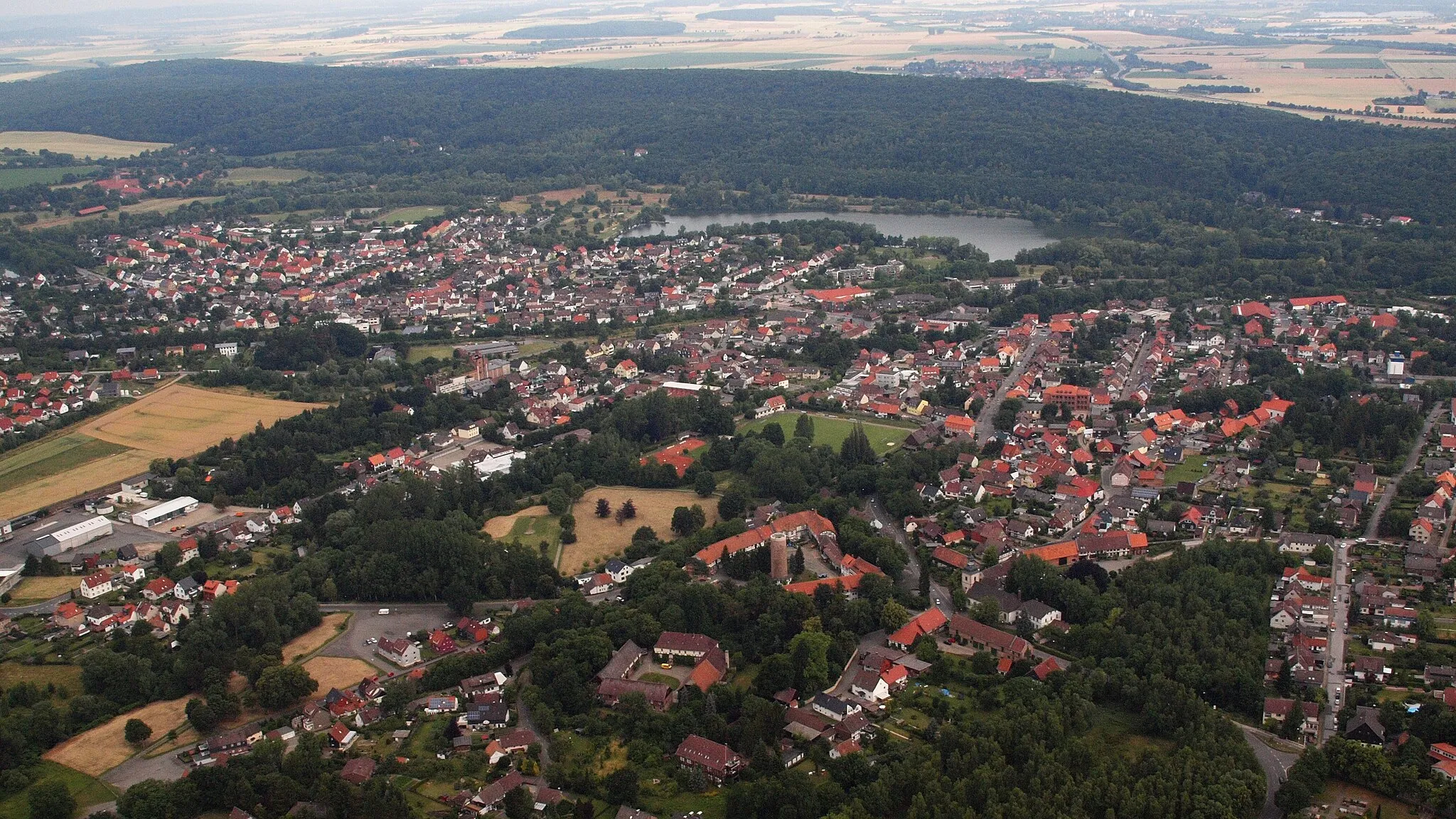
Langelsheim is a small town located in the Braunschweig region of Germany. From a cyclist's perspective, Langelsheim offers a variety of cycling routes suitable for both road and gravel cyclists. The town is surrounded by beautiful countryside and there are several well-maintained roads that provide scenic views and challenging climbs. One notable cycling spot nearby is the Harz Mountains, which offer legendary climbs and stunning landscapes for cyclists to explore. Overall, Langelsheim is a great destination for cyclists looking for challenging routes and picturesque scenery.8 km
8 km
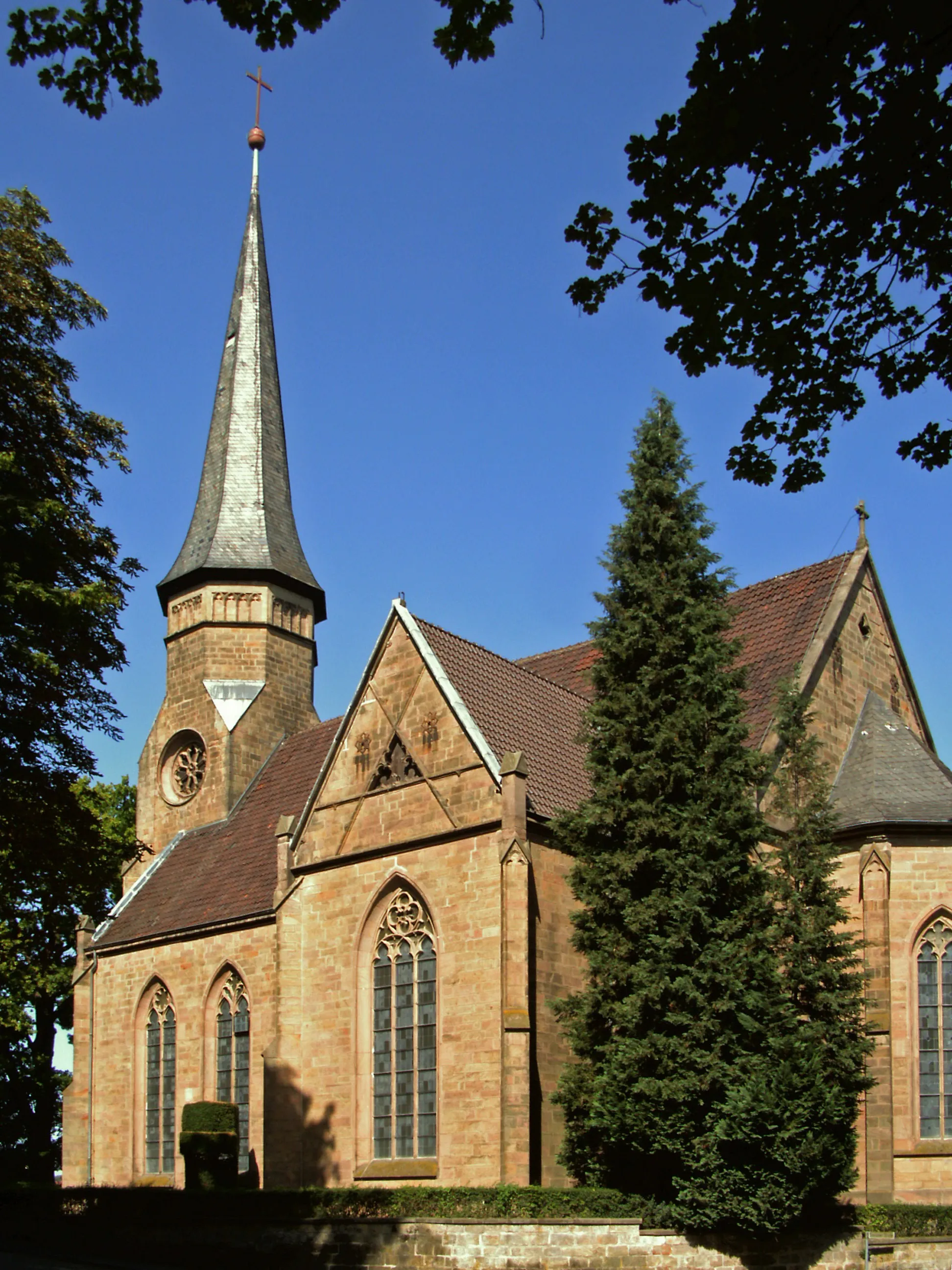
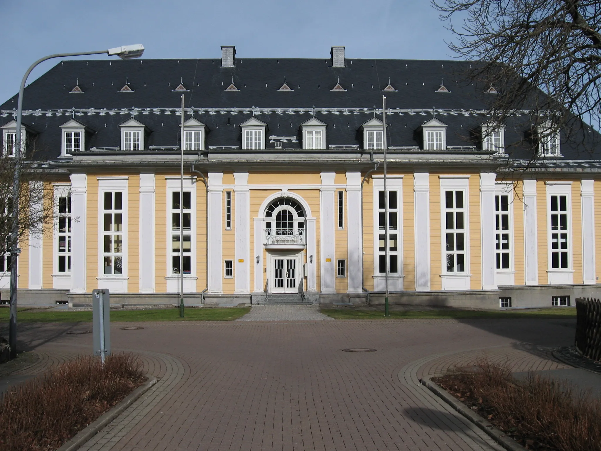
KaiserhausCastleVisit the historic Kaiserhaus, an architectural gem with a fascinating history.
17 km
17 km
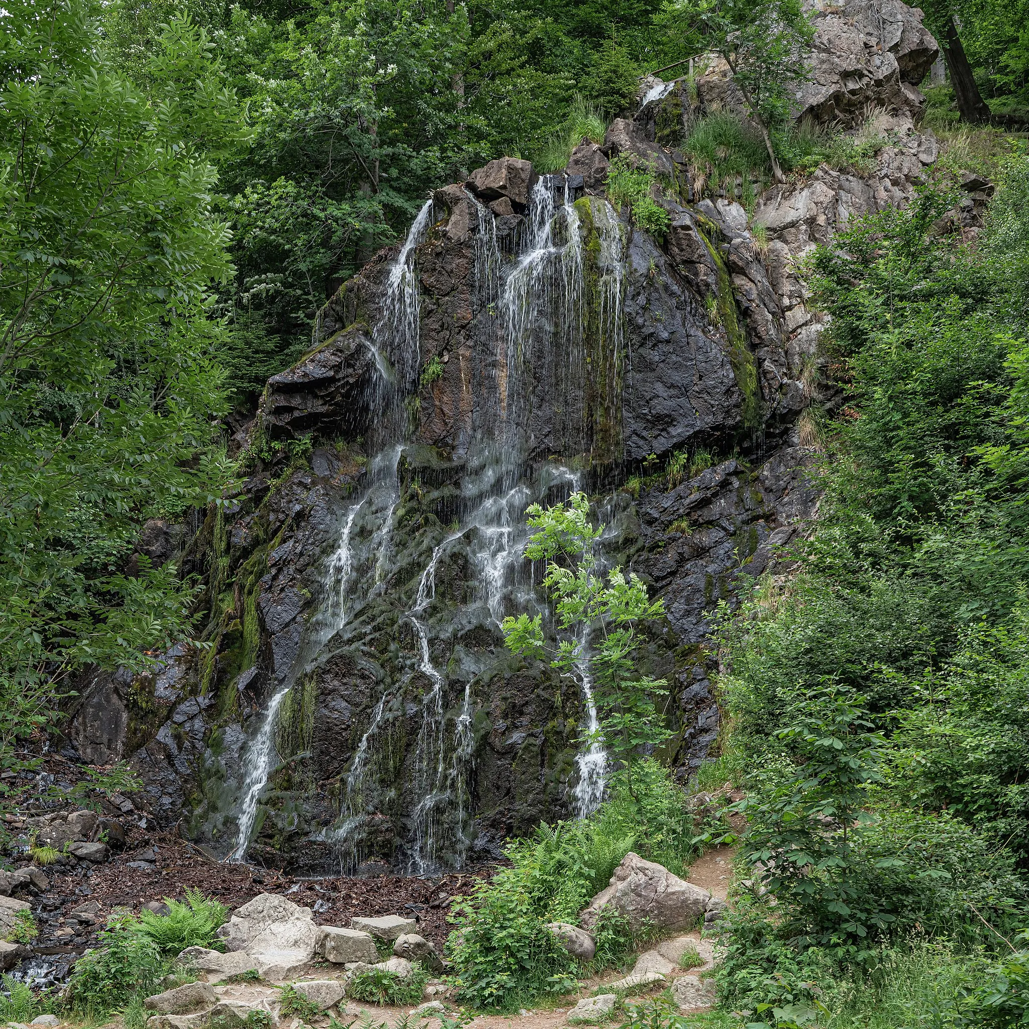
FeigenbaumklippeViewpointAdmire the stunning Feigenbaumklippe, a rock formation with panoramic views.
30 km
30 km
Dehnenkopf775 mPeakEnjoy the breathtaking scenery at Dehnenkopf, offering uninterrupted views of the Harz mountains.
31 km
31 km
TorfhausVillageExplore Torfhaus, a popular spot for outdoor enthusiasts with hiking trails and picturesque landscapes.
46 km
46 km
Großer Mittelberg569 mPeakAscend to the Großer Mittelberg and be rewarded with stunning vistas of the Harz National Park.
54 km
54 km
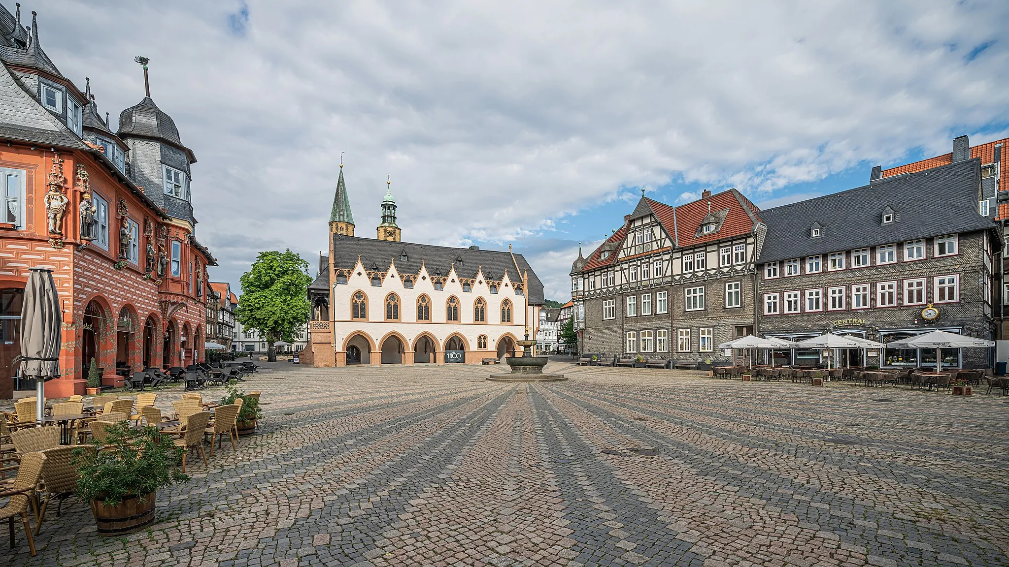
Clausthal-ZellerfeldTownPass through the historic town of Clausthal-Zellerfeld, known for its charming architecture.
67 km
67 km
Maaßener GaipelViewpointDiscover the Maaßener Gaipel, a scenic overlook with panoramic views of the surrounding area.
68 km
68 km
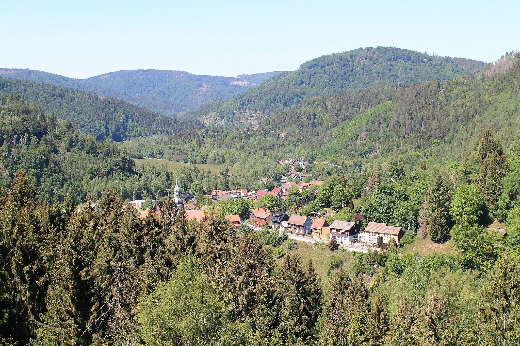
LautenthalVillageCycle through the picturesque town of Lautenthal, known for its well-preserved half-timbered houses.
77 km
77 km
Alte UnterführungShelterPass through the Alte Unterführung, an old railway tunnel that adds a unique touch to the route.
79 km
79 km
Finish: Langelsheim City centerLangelsheim: Cycling paradise in Langelsheim, Germany
Cycling routes from Langelsheim:
Cycling routes nearby: