Hillside Gravel Adventure
A gravel cycling route starting from Ehrenfriedersdorf
Embark on a thrilling gravel cycling adventure through the hills near Ehrenfriedersdorf, encountering picturesque landscapes and historic sites.
Map

Immerse yourself in nature and history as you pedal through green valleys and ascend challenging hills on this 70-kilometer gravel route. With an elevation gain of 1,448 meters, this route promises a stimulating experience for gravel enthusiasts looking for a unique adventure near Ehrenfriedersdorf.
gravel
70 km
1448 m
Tough
Route profile
Highlights on the route
0 km
0 km
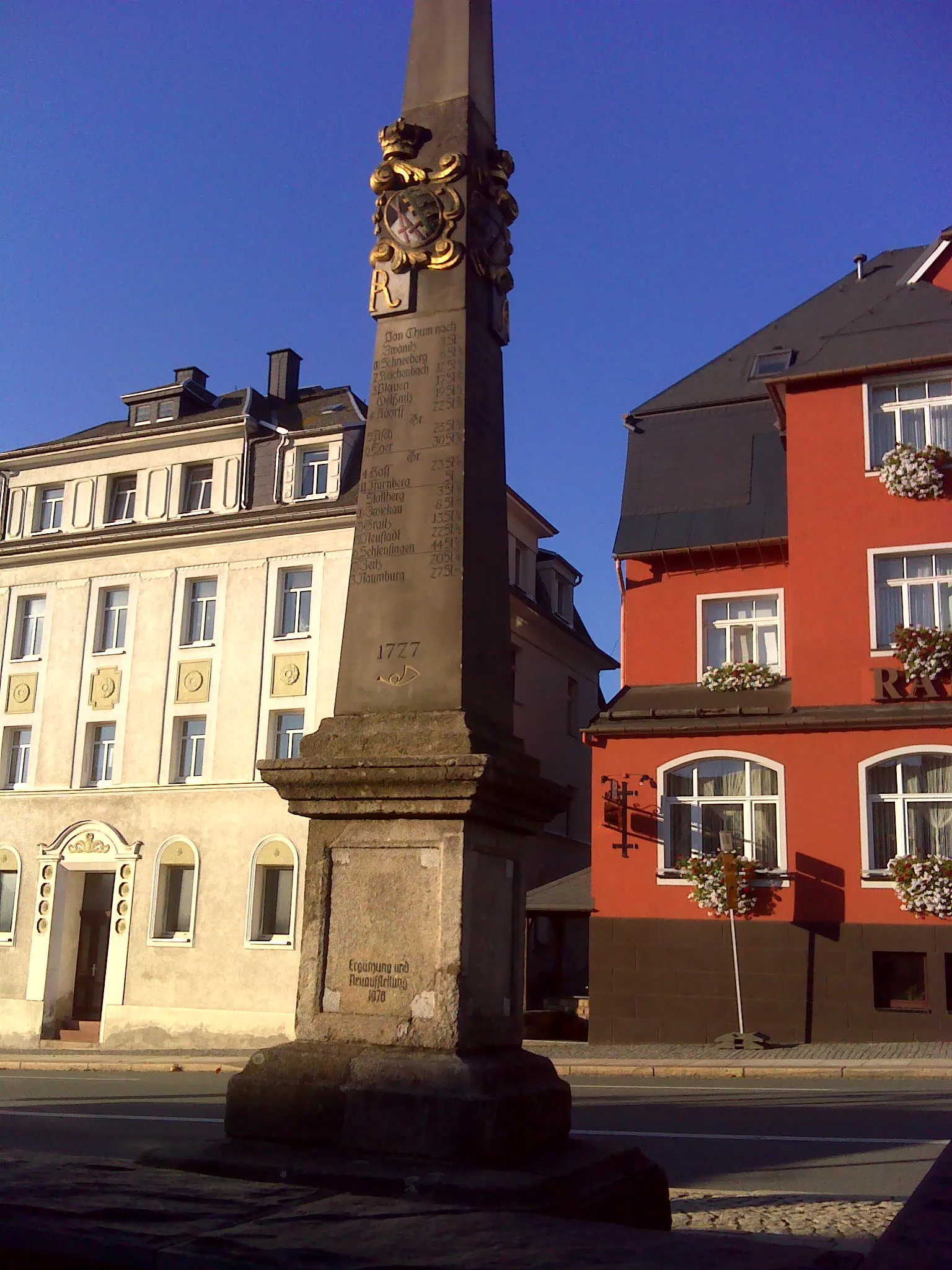
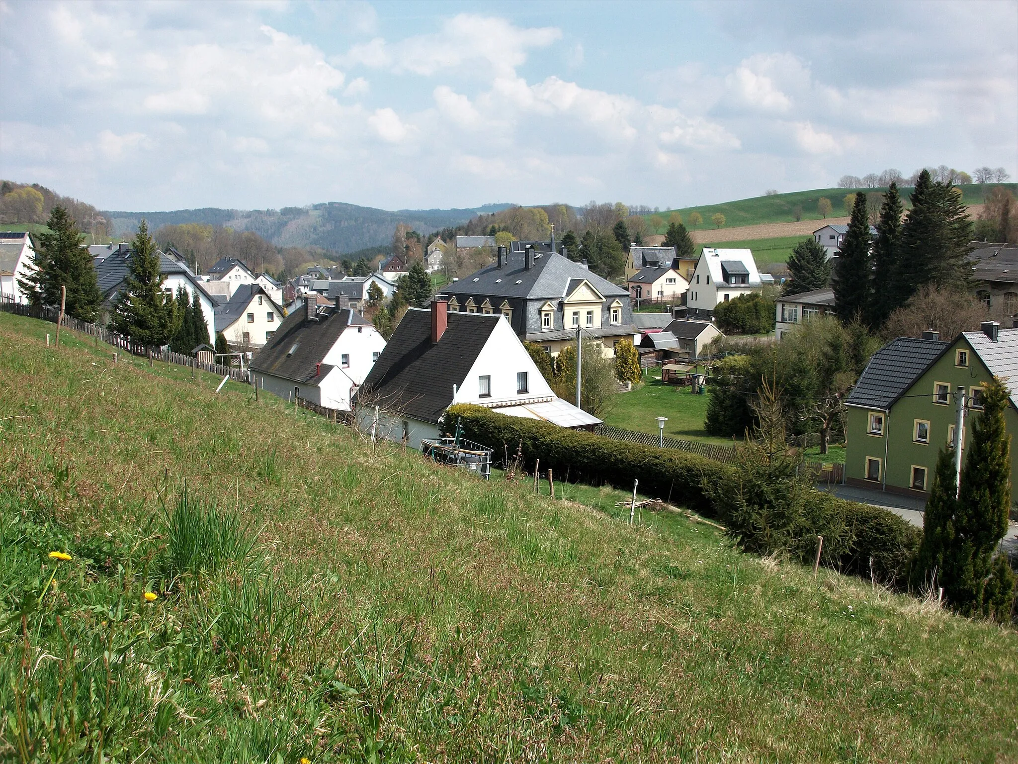
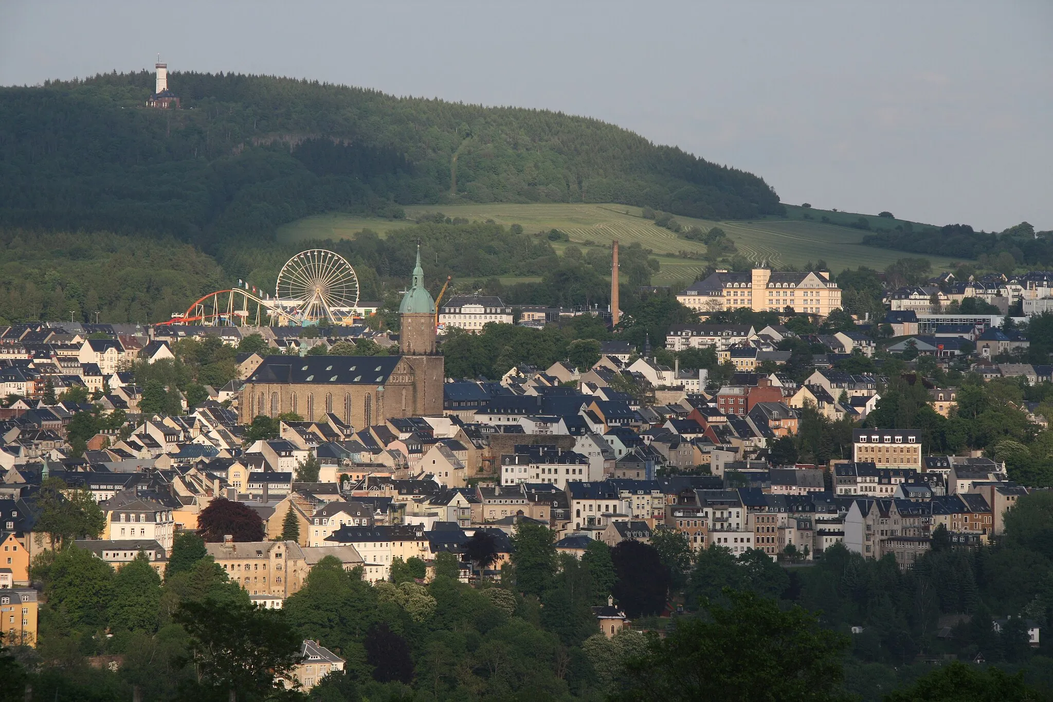
Start: Ehrenfriedersdorf City centerEhrenfriedersdorf: Immerse Yourself in the Beauty of Ehrenfriedersdorf on Two Wheels
Ehrenfriedersdorf, situated in Germany's Chemnitz region, is a cyclist's paradise with its array of road and gravel cycling opportunities. The town features a variety of cycling paths that meander through breathtaking landscapes, including forests and rolling hills. Cyclists can also explore nearby attractions, such as the famous Ore Mountains, which provide challenging climbs and stunning panoramic views. Ehrenfriedersdorf is a haven for both leisurely scenic rides and more adventurous cycling experiences.0 km
0 km
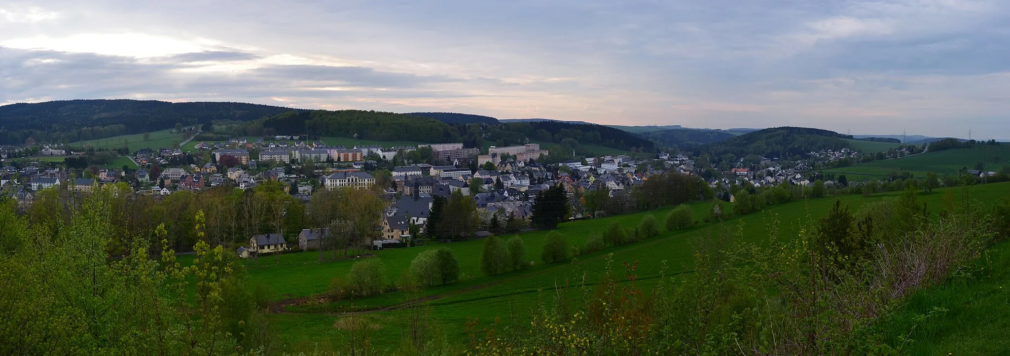
EhrenfriedersdorfTownBegin your journey in Ehrenfriedersdorf, a town filled with history and mining heritage.
11 km
11 km
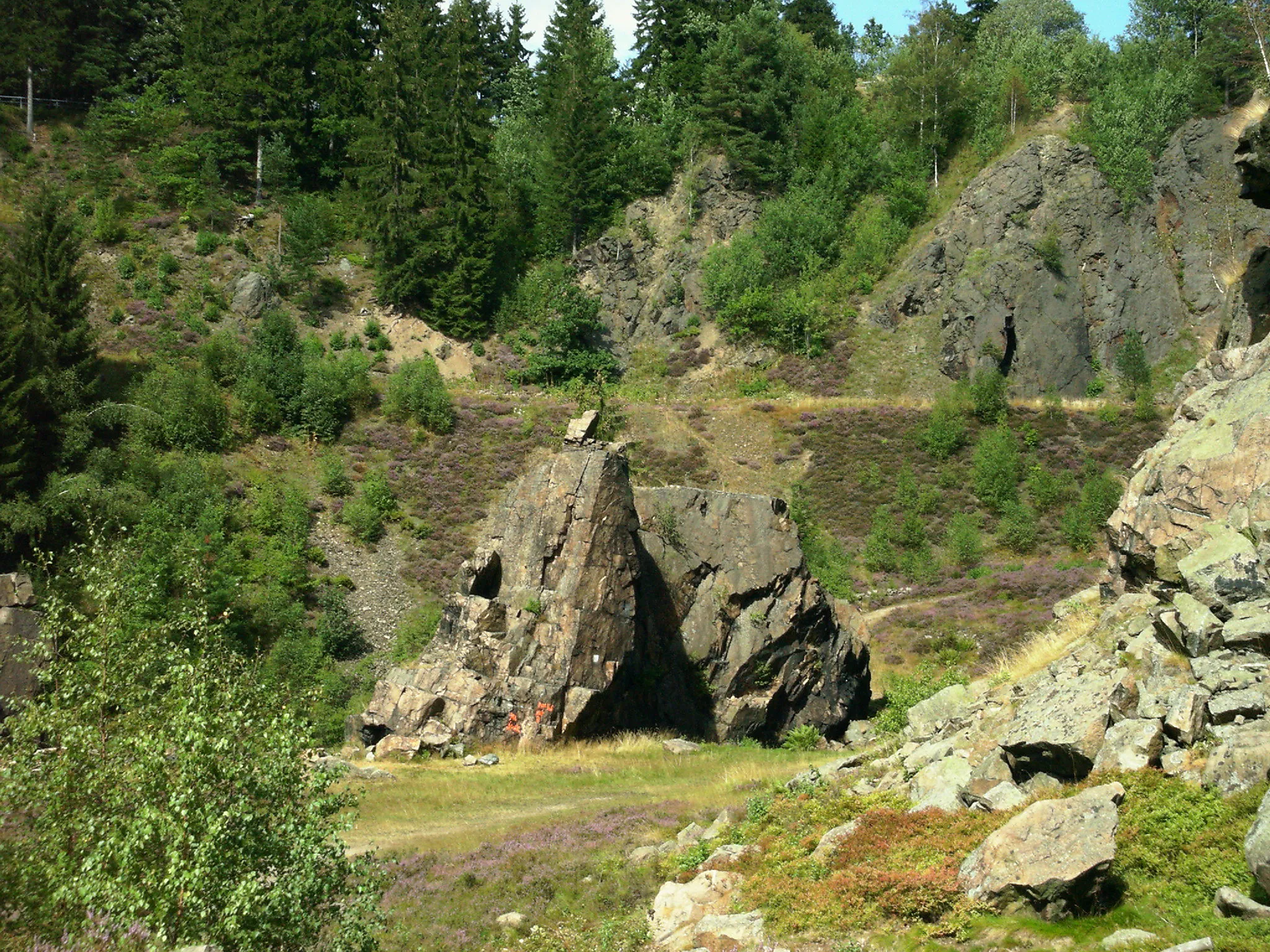
Schreckenberg649 mViewpointMarvel at the rugged beauty of Schreckenberg, a challenging climb with stunning views.
29 km
29 km
Gifthüttenberg1047 mPeakDiscover the secluded Gifthüttenberg, a hidden gem nestled amidst serene forests.
36 km
36 km
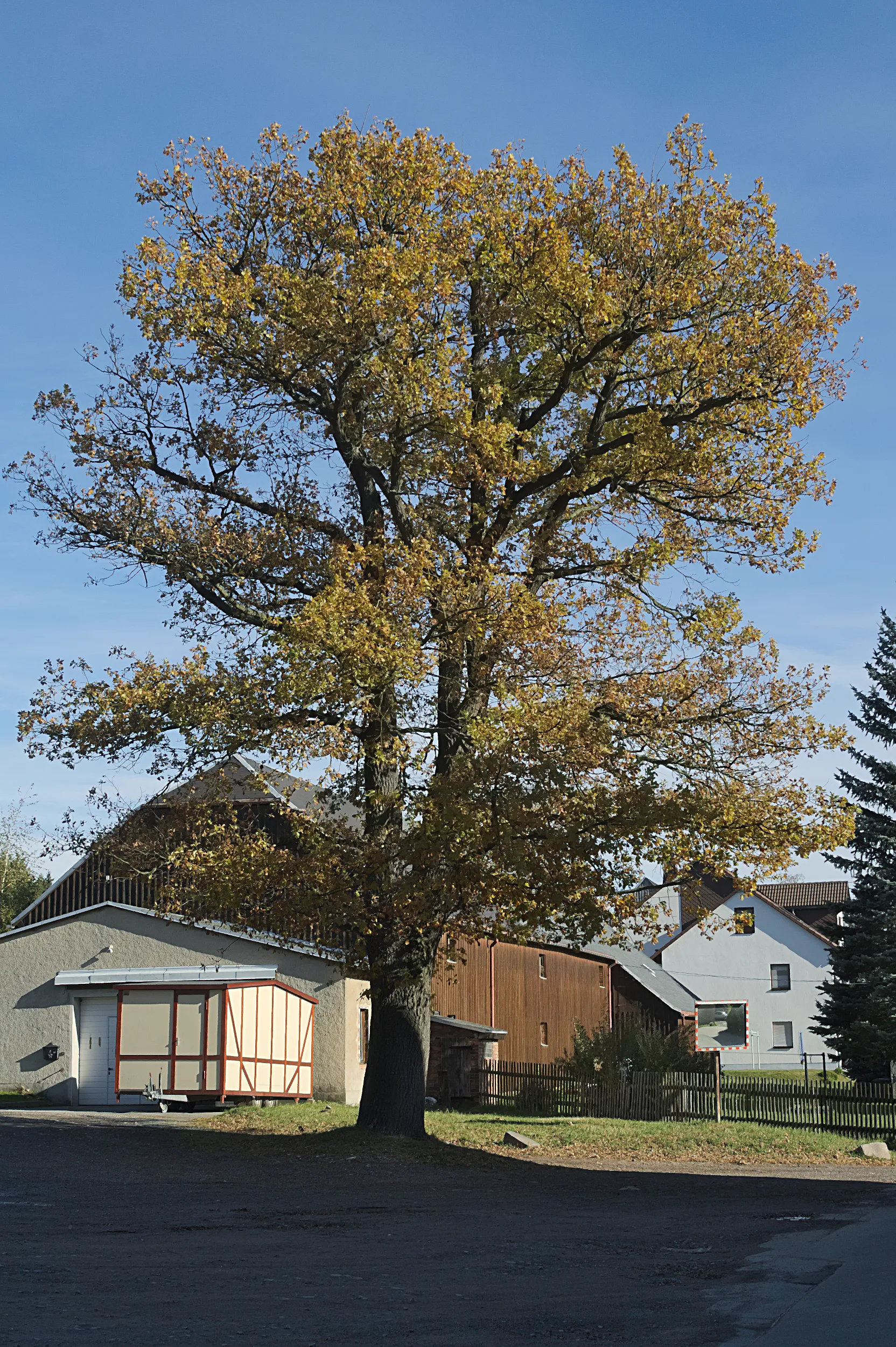
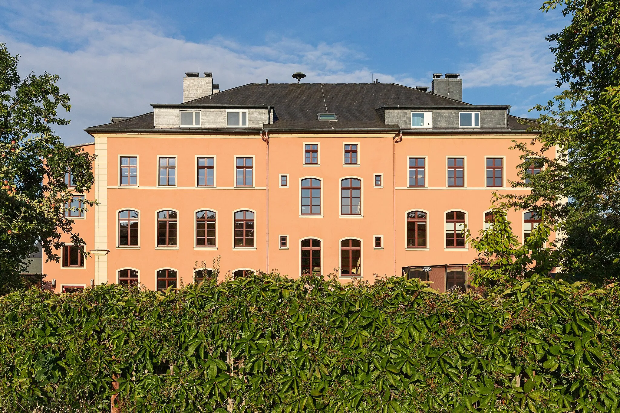
Taufichtig1002 mPeakPass by Taufichtig, a picturesque hamlet boasting traditional half-timbered houses and scenic tranquility.
49 km
49 km
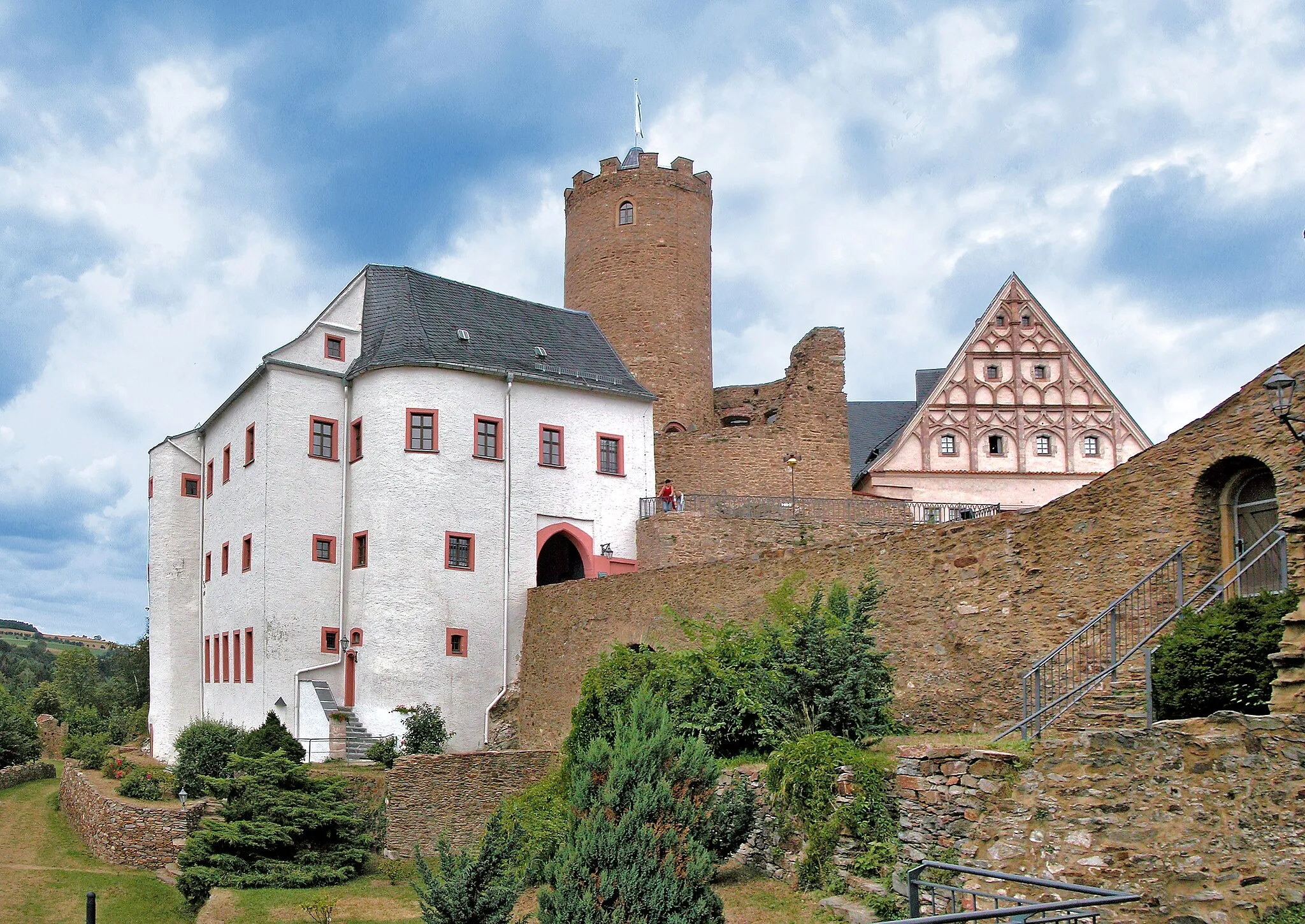
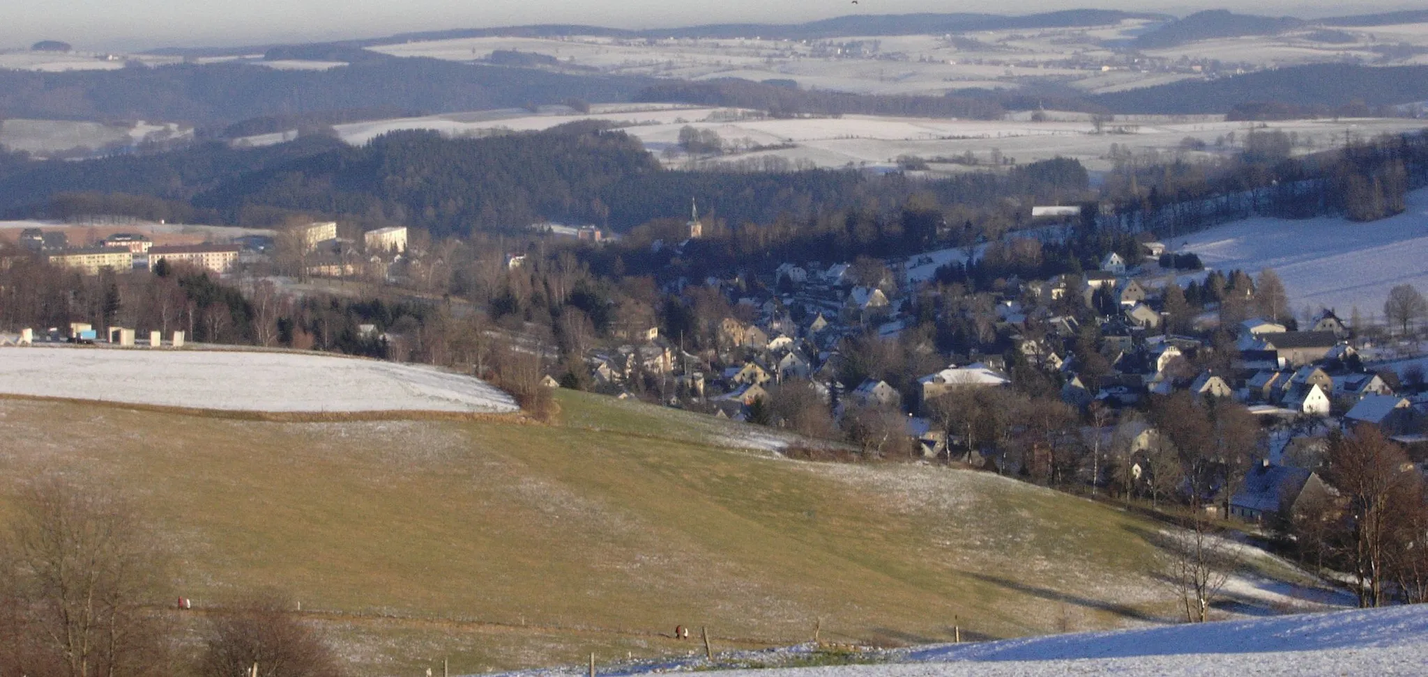
RaschauVillageAdmire Raschau, a charming village known for its historic buildings and quaint atmosphere.
63 km
63 km
Spitzberg718 mPeakAscend Spitzberg and soak in the stunning panoramic views of the surrounding landscapes.
70 km
70 km
Finish: Ehrenfriedersdorf City centerEhrenfriedersdorf: Immerse Yourself in the Beauty of Ehrenfriedersdorf on Two Wheels
Cycling routes from Ehrenfriedersdorf:
Scenic Road Adventure Hillside Gravel Adventure Scenic Road Odyssey Geyer Gravel Adventure Wolkenstein Gravel Route Off the Beaten Path Gravel Adventure Epic Road Cycling Adventure Exploring the Heights of Ehrenfriedersdorf Challenging Mountain Ride The Road Less Traveled from Ehrenfriedersdorf Journey through Serene Landscapes from Ehrenfriedersdorf Ultimate Gravel Adventure from Ehrenfriedersdorf
Cycling routes nearby: