Erzgebirge Panorama Challenge
A road cycling route starting from Freiberg
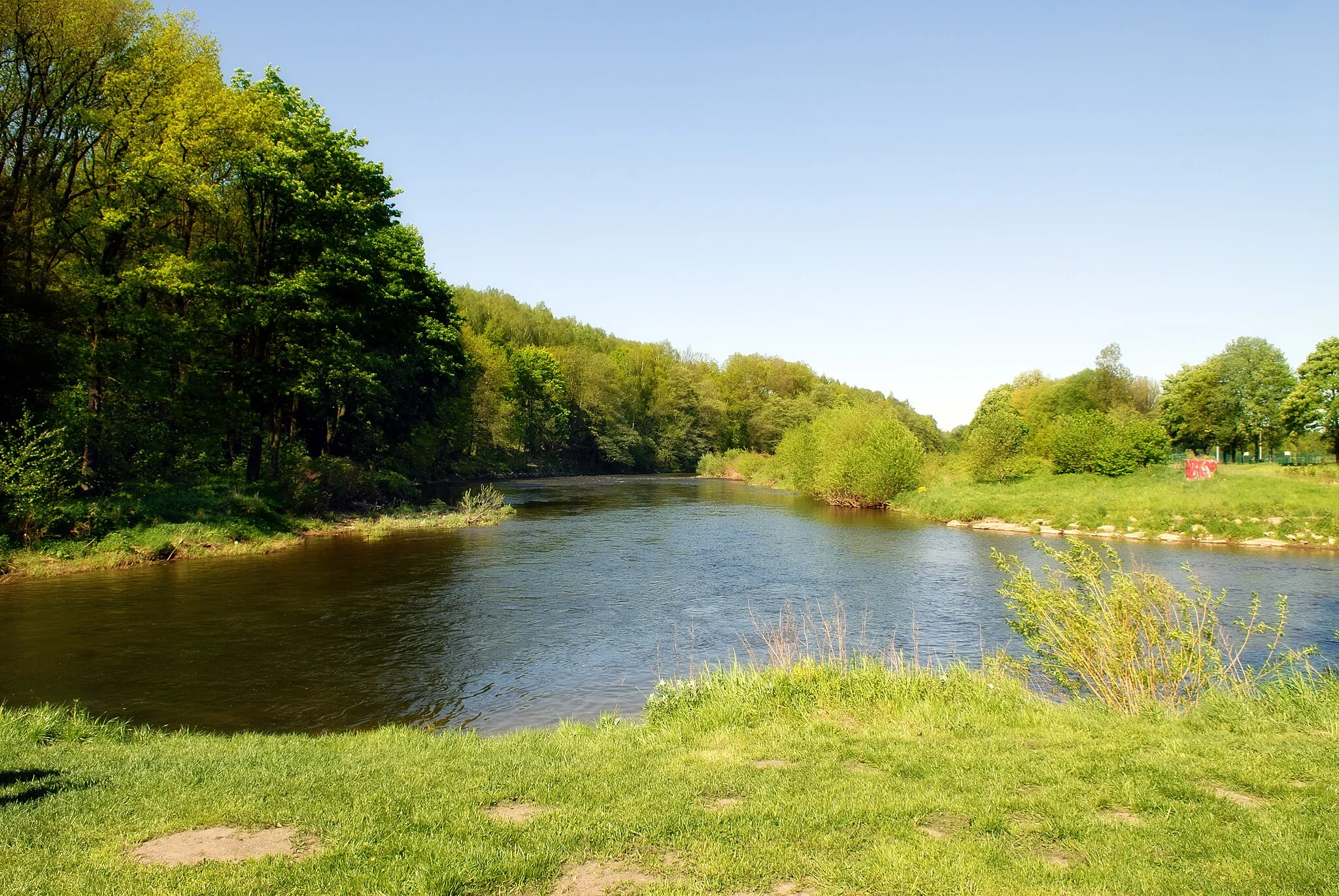
A demanding road cycling adventure through the picturesque Erzgebirge mountains
Map

Embark on a challenging road cycling journey through the scenic Erzgebirge mountains, covering a total distance of 96 km and an ascent of 1463 m. This route offers breathtaking panoramic views and takes you past notable highlights such as Brand-Erbisdorf, Langenauer Höhe, Lengefeld, Adlerstein, Bergfried, Gornau, Flöha, Udohöhe, Wasserturm Bräunsdorf, Wäscheberg, and Freibergsdorfer Hammerwerk.
road
96 km
1463 m
Savage
Route profile
Highlights on the route
0 km
0 km
Start: Freiberg City centerFreiberg: Road Cycling Paradise in Germany
Freiberg is a locality in Chemnitz, Germany. From a cyclist's point of view, Freiberg is an excellent destination for road cycling. The region offers a diverse range of terrain, with both challenging climbs and flat stretches. Cyclists can enjoy riding through picturesque forests, alongside tranquil rivers, and visit historic towns along the way. Additionally, Freiberg is located near the famous climb of Erzgebirge, which attracts both amateur and professional cyclists. Overall, Freiberg provides a variety of cycling routes and beautiful scenery for road cyclists.5 km
5 km
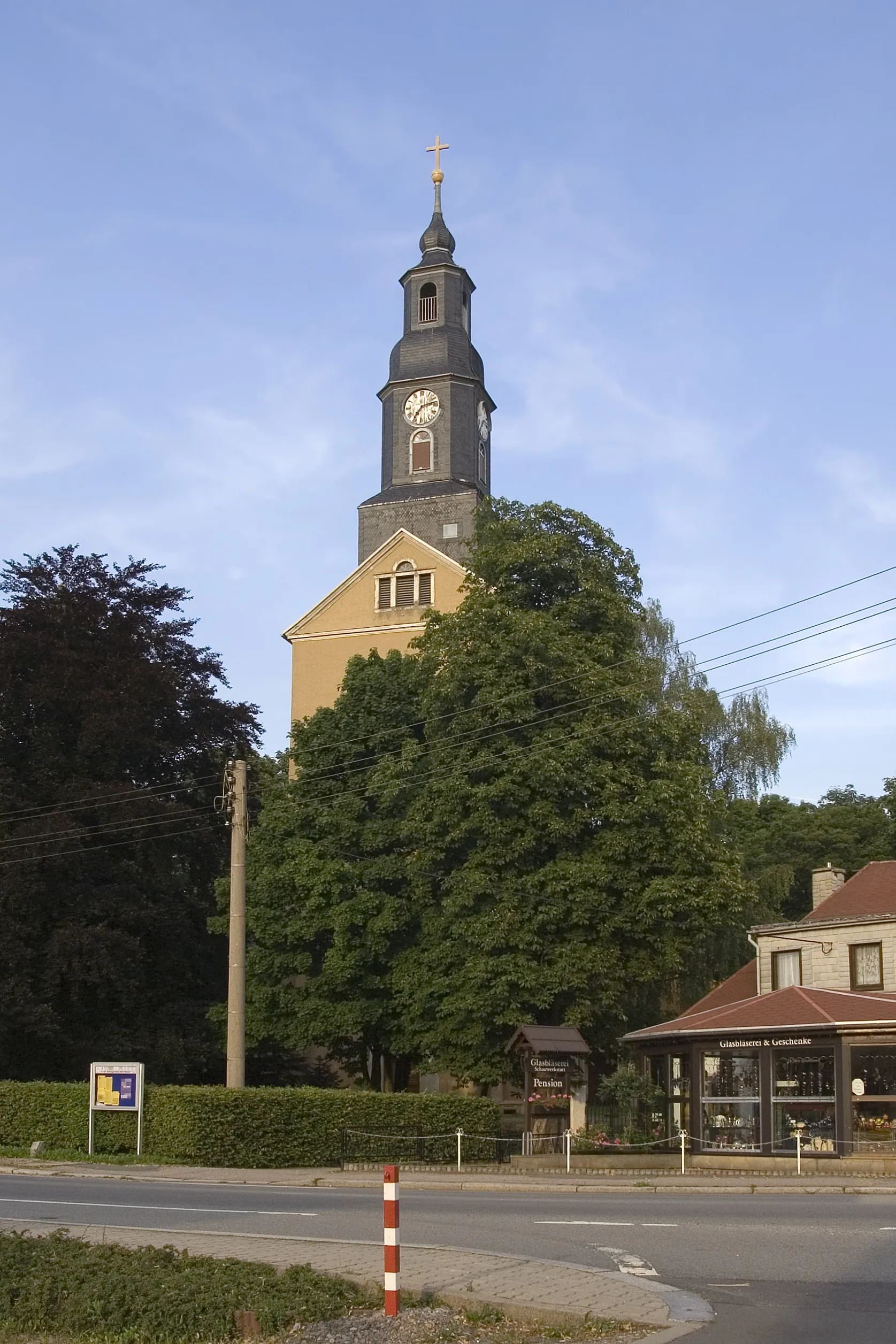
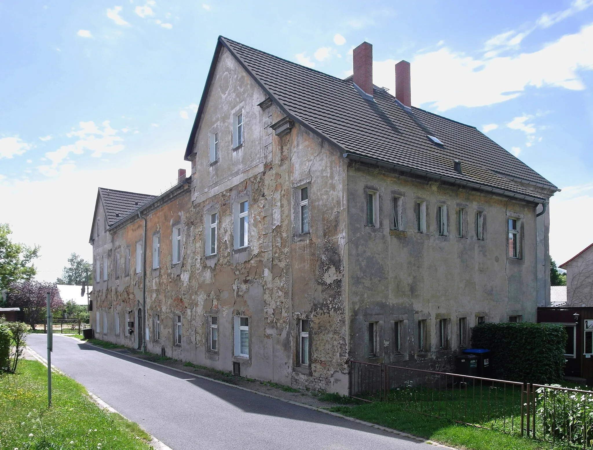
Brand-ErbisdorfTownBrand-Erbisdorf is a historic mining town known for its impressive Renaissance-style town hall and beautiful churches.
12 km
12 km
Langenauer Höhe574 mPeakLangenauer Höhe is a scenic vantage point offering stunning views over the Erzgebirge mountains and surrounding landscapes.
29 km
29 km
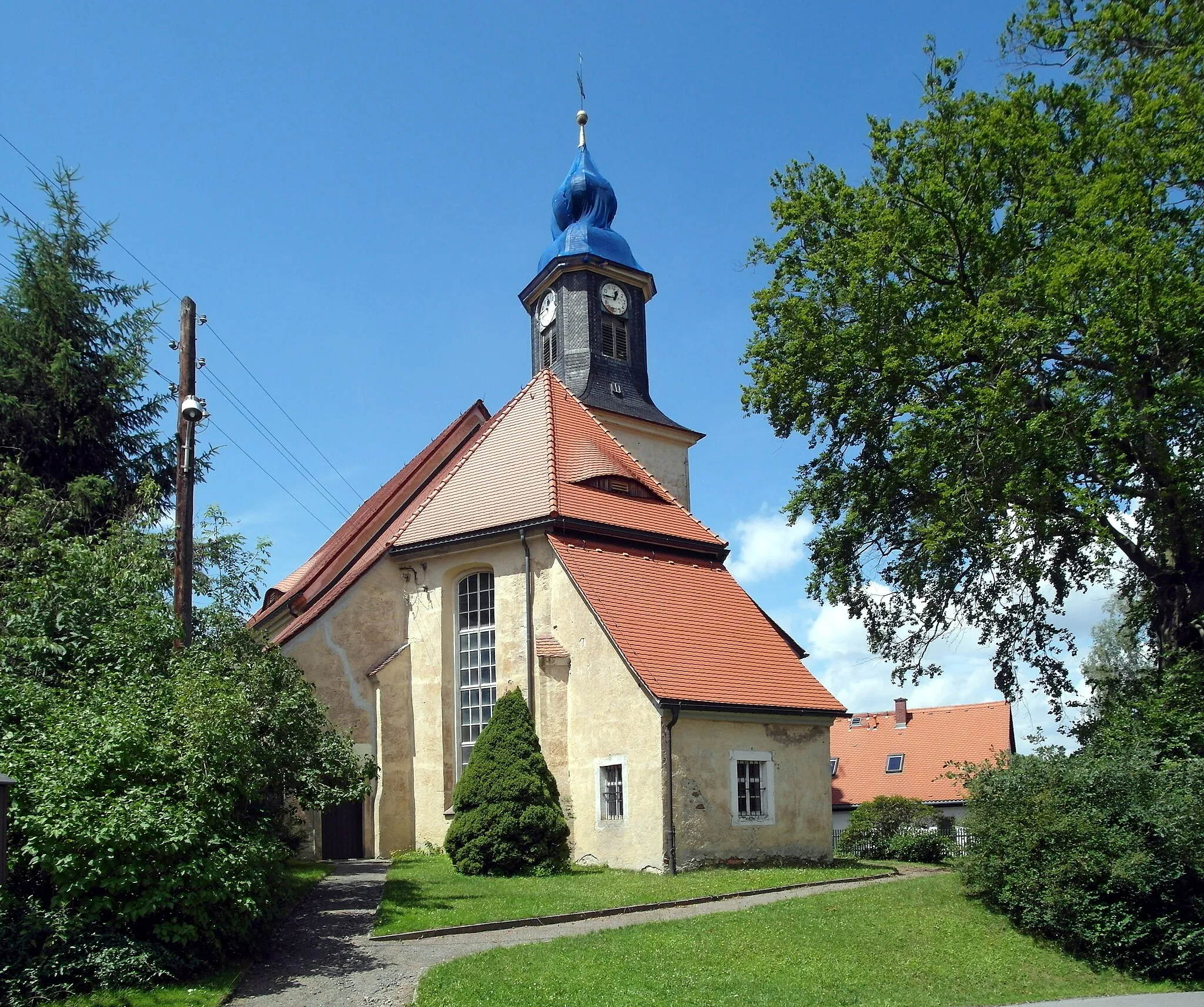
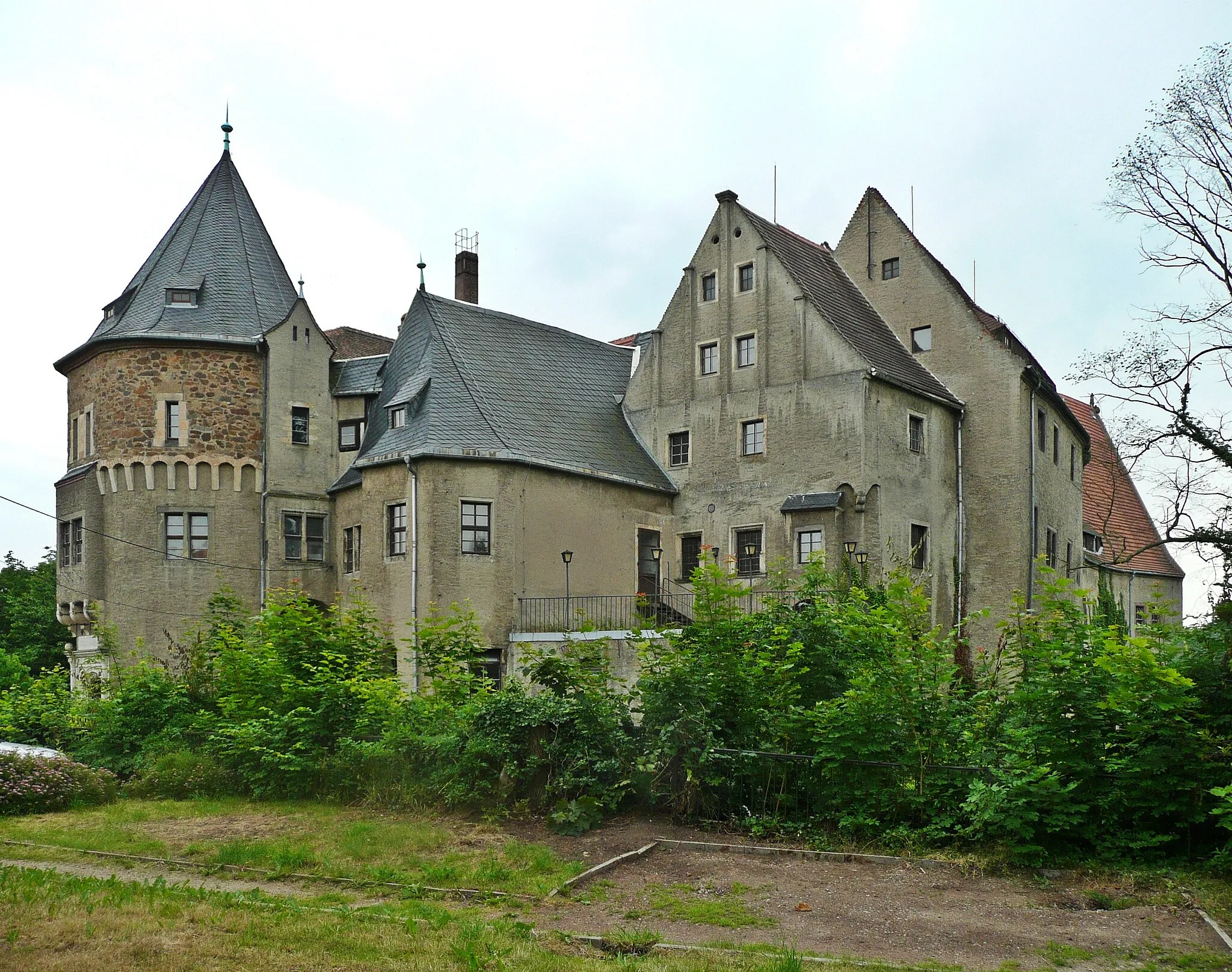
LengefeldTownLengefeld is a charming town with a rich mining heritage, beautiful half-timbered houses, and a medieval castle.
32 km
32 km
Adlerstein676 mPeakAdlerstein is a unique rock formation resembling an eagle's head, providing a spectacular natural landmark along the route.
42 km
42 km
BergfriedViewpointBergfried is a picturesque village with a well-preserved medieval tower offering panoramic views of the surrounding countryside.
52 km
52 km
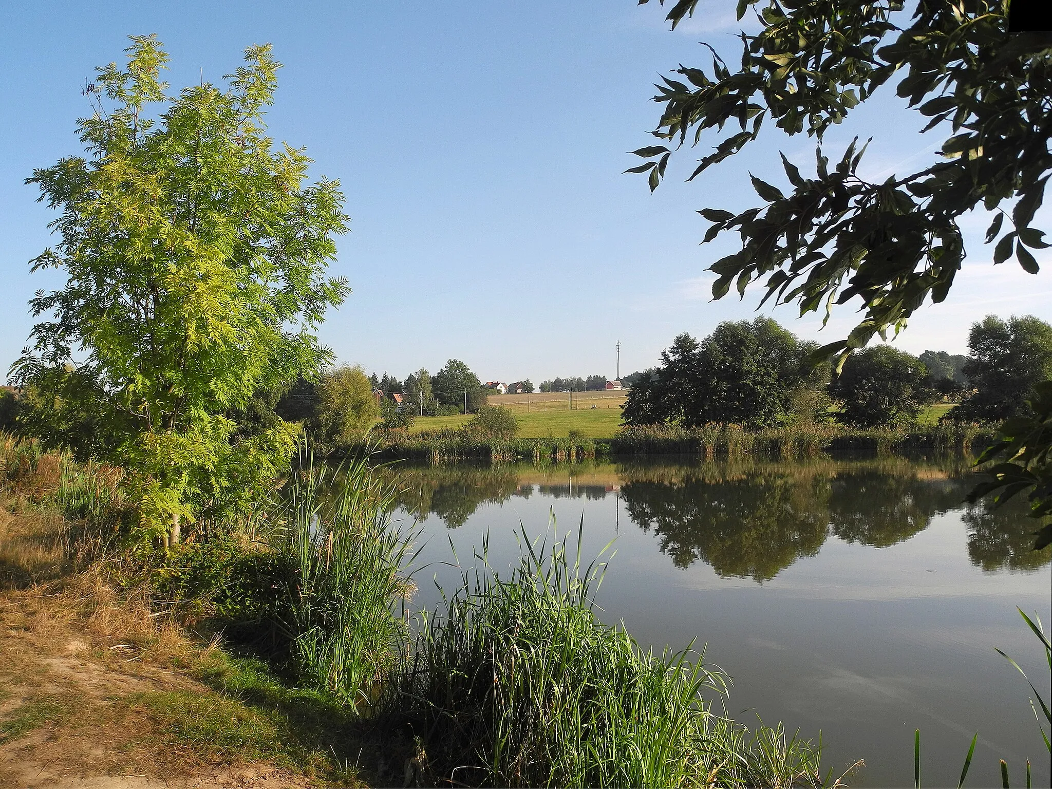
GornauVillageGornau is a traditional Erzgebirge town known for its heritage crafts and charming workshops.
65 km
65 km
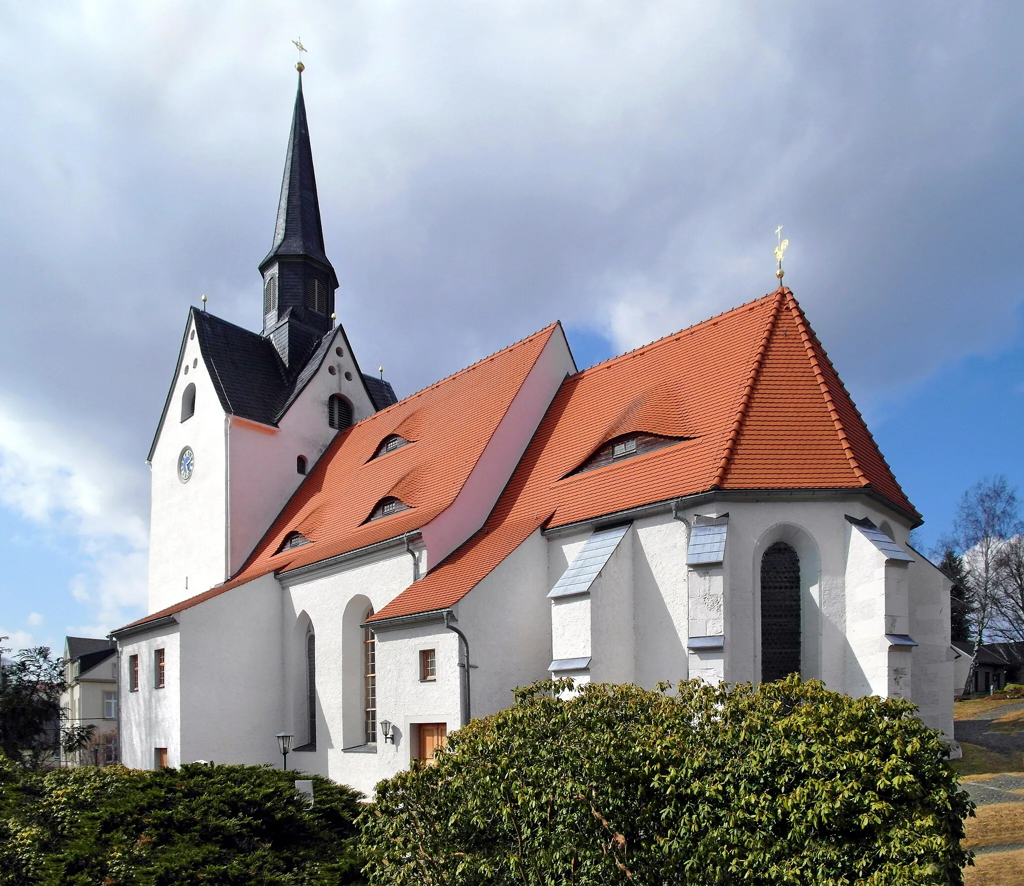
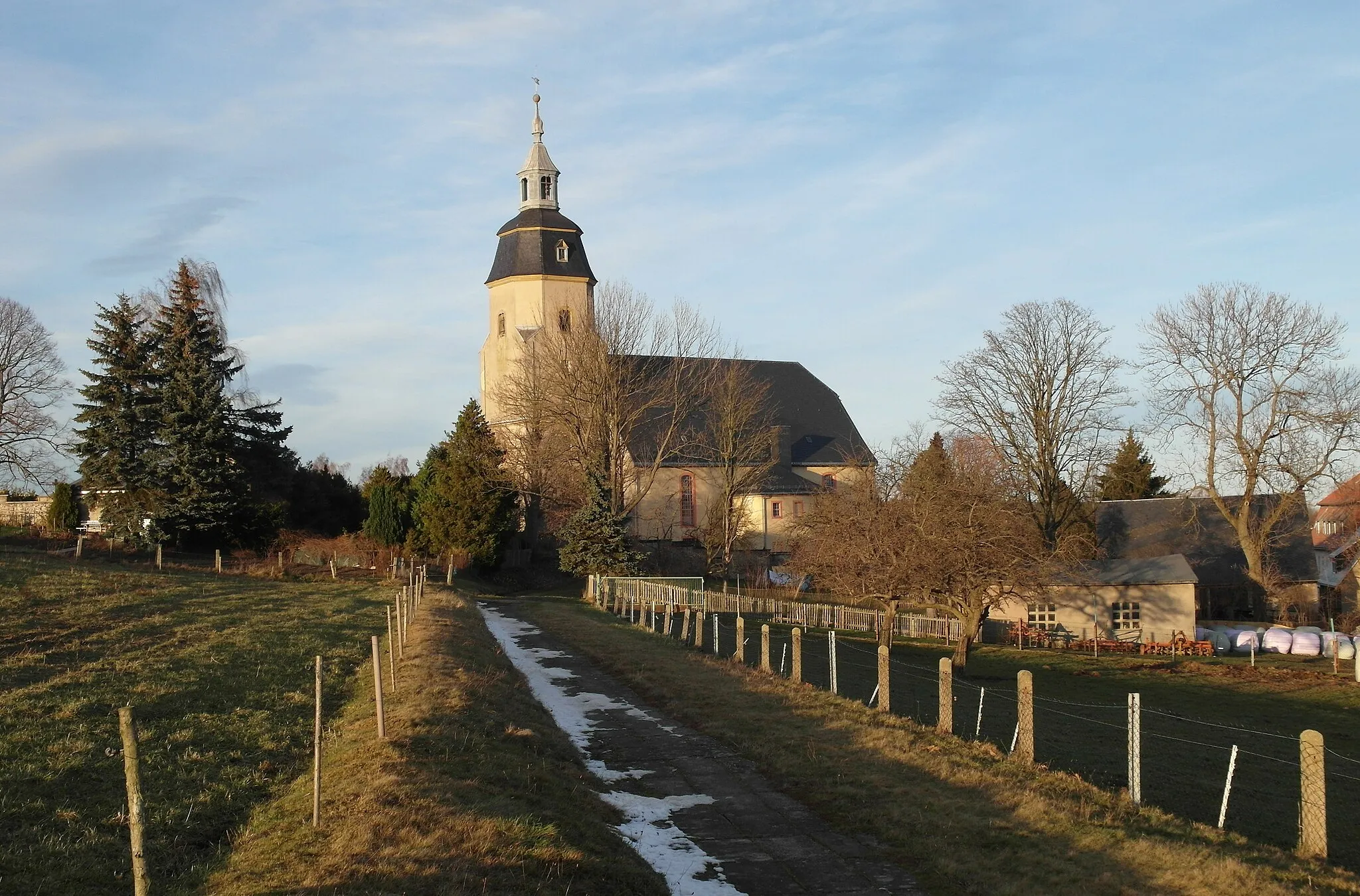
FlöhaTownFlöha is a scenic town with a beautiful historic city center and a renowned castle overlooking the valley.
76 km
76 km
Udohöhe496 mPeakUdohöhe is a scenic viewpoint located at the top of a hill, allowing you to enjoy impressive panoramic vistas.
86 km
86 km
Wasserturm BräunsdorfAttractionWasserturm Bräunsdorf is a majestic water tower that serves as a key landmark in the surrounding area, offering magnificent views from its observation deck.
86 km
86 km
Wäscheberg401 mPeakWäscheberg is a hill with historical significance, dotted with remnants of textile factories that once thrived in the region.
95 km
95 km
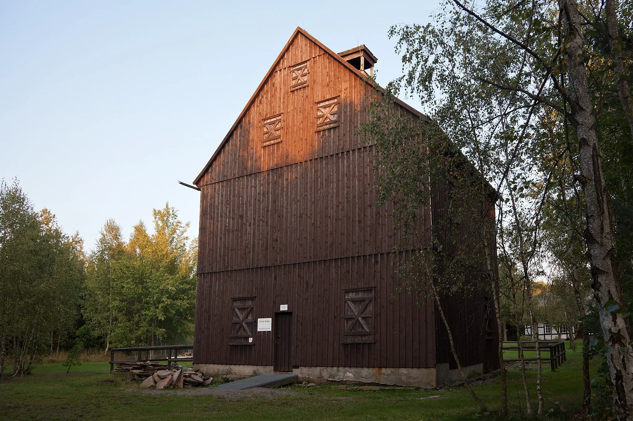
Freibergsdorfer HammerwerkAttractionFreibergsdorfer Hammerwerk is a fully functional and well-preserved medieval hammer mill, providing a unique glimpse into the area's mining history.
96 km
96 km
Finish: Freiberg City centerFreiberg: Road Cycling Paradise in Germany
Cycling routes from Freiberg:
Bobritzsch Round-Trip Adventure Erzgebirge Panorama Challenge Cultural and Natural Delights of Frankenstein Langhennersdorf Road Loop The Frankenstein Loop Scenic Gravel Escape to Buch-Berg The Mulda/Sa. Adventure Steep Gravel Adventure to Freiberg The Großwaltersdorf Loop The Niederlichtenau Challenge The Gaffkopf Loop
Cycling routes nearby: