Mountain Battle
A road cycling route starting from Gruenhain
Conquer challenging terrains on this 126-kilometer road route
Map
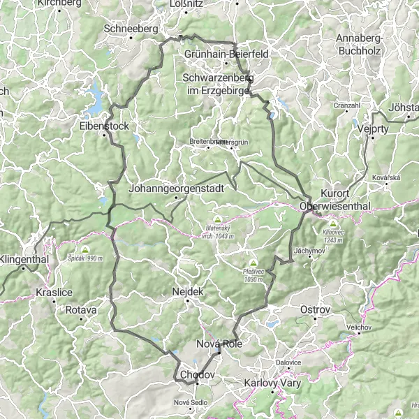
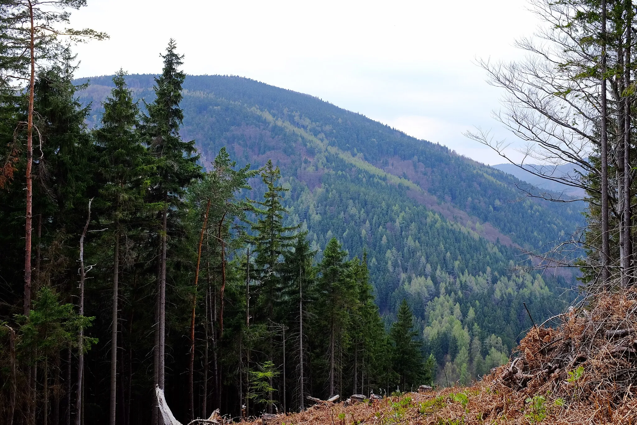
Prepare for an epic adventure on the Mountain Battle cycling route starting near Grünhain. With a total ascent of 2215 meters and spanning across 126 kilometers, this route is designed for experienced cyclists seeking a test of endurance. Along the way, you'll pass through Raschau, known for its rustic charm and traditional architecture, and Hundsmarter, where you can witness breathtaking views of the Erzgebirge mountains. Continue onwards to Boží Dar, an enchanting village nestled in the highest landscapes of the Ore Mountains. As you approach the finish line in Eisenstein, immerse yourself in the town's charming atmosphere and admire the impressive architecture.
road
126 km
2215 m
Savage
Route profile
Highlights on the route
0 km
0 km
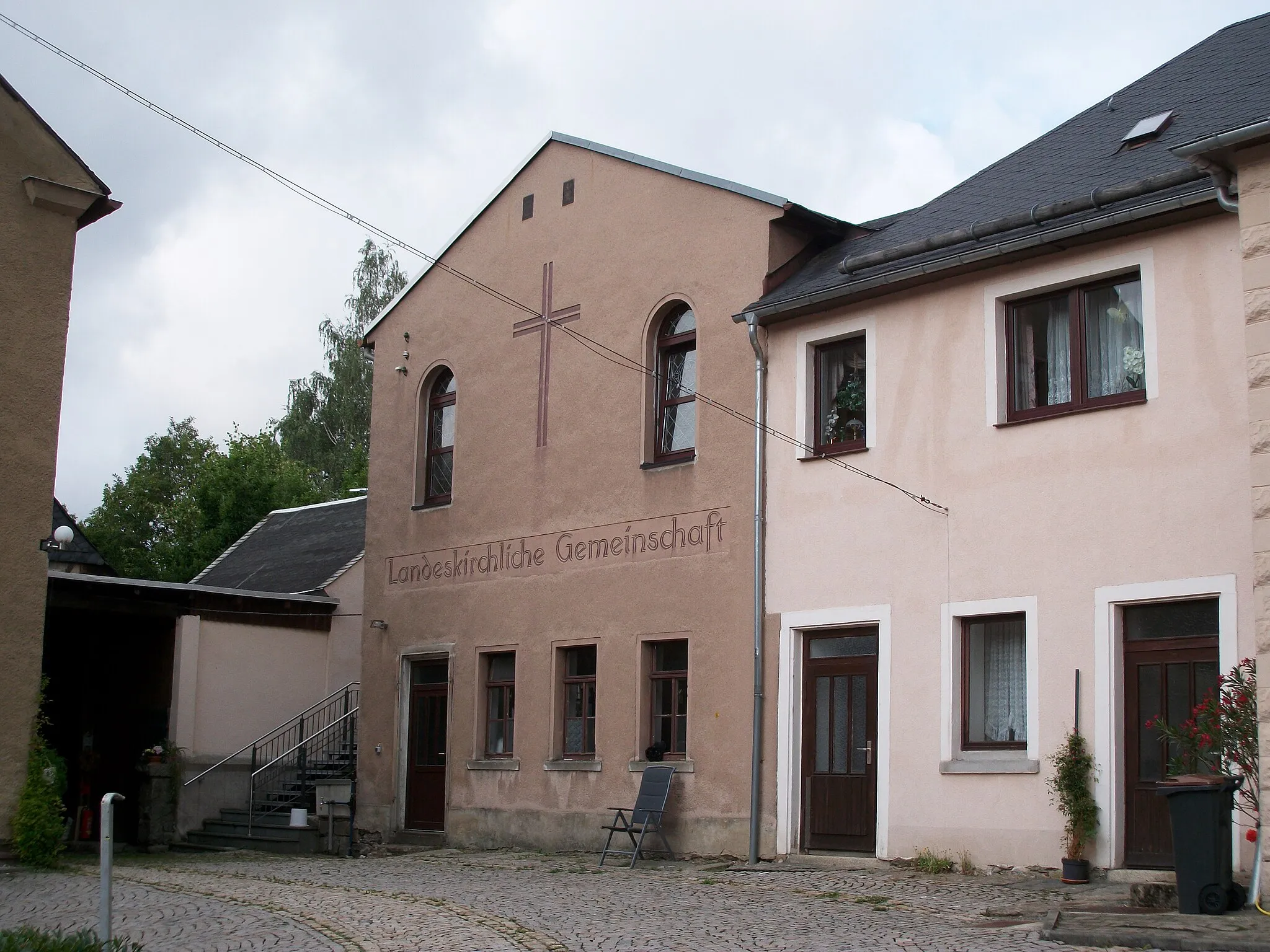
Start: Grünhain City centerGrünhain: Tranquil Beauty for Gravel Cyclists in Chemnitz, Germany
Grünhain, located in Chemnitz, Germany, is a peaceful and picturesque locality perfect for cyclists seeking tranquility and scenic rides. The region offers mostly flat terrain with occasional rolling hills, making it suitable for riders of all skill levels. For those looking for a challenge, the nearby Ore Mountains provide opportunities for thrilling climbs, including the famous F19 and F22 hills. Grünhain is a hidden gem for gravel cycling enthusiasts, with beautiful landscapes and a peaceful atmosphere that make every ride a memorable experience.8 km
8 km
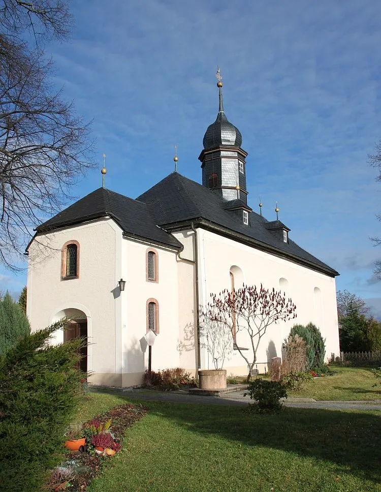
RaschauVillageRaschau features traditional half-timbered houses and stunning mountain surrounds, making it a must-visit destination for nature lovers and history enthusiasts.
13 km
13 km
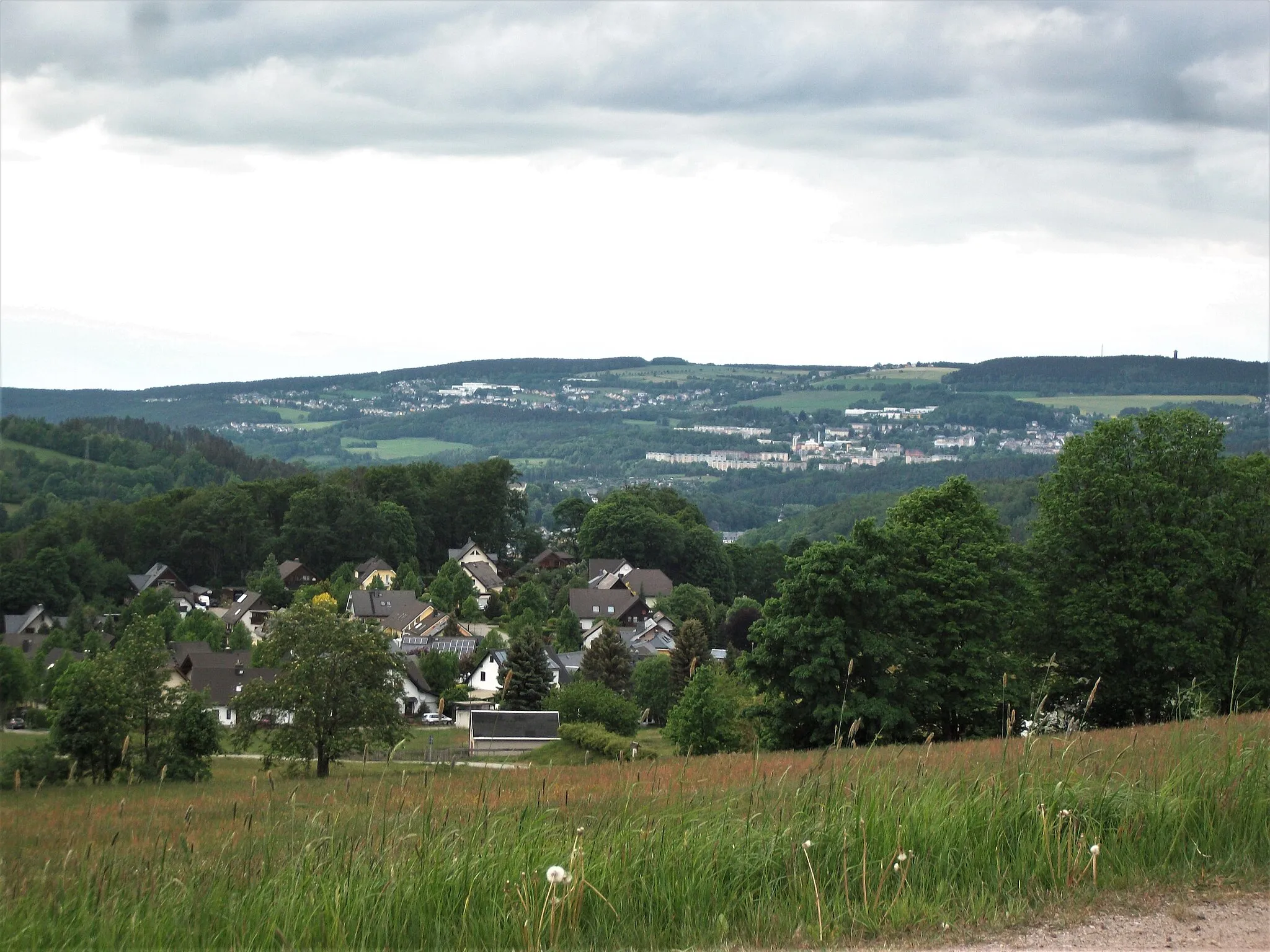
Hundsmarter848 mPeakHundsmarter offers unparalleled panoramic views of the Erzgebirge mountains, providing a memorable stop along the route.
21 km
21 km
Taufichtig1002 mPeakTaufichtig showcases the natural beauty of the area with its pristine landscapes and idyllic scenery.
27 km
27 km
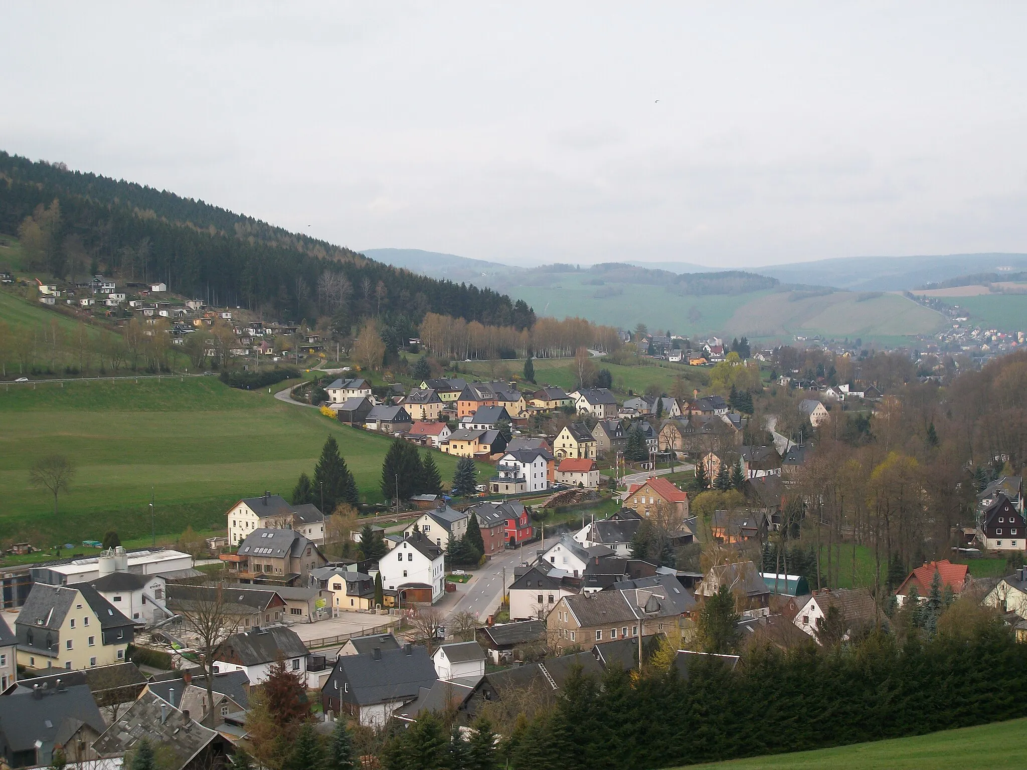
Boží DarVillageBoží Dar, Czech Republic's highest-altitude municipality, is a paradise for winter sports enthusiasts and offers breathtaking views year-round.
41 km
41 km
MerklínVillageMerklín is a quaint village with beautifully preserved traditional houses, offering a charming spot for a break and to explore the local culture.
42 km
42 km
Rozhled706 mPeakRozhled, meaning 'viewpoint,' offers spectacular panoramic vistas of the surrounding mountains and valleys.
57 km
57 km
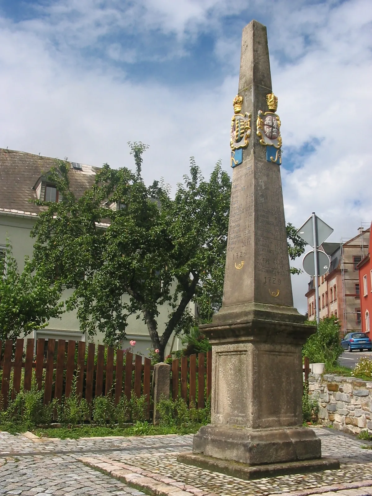
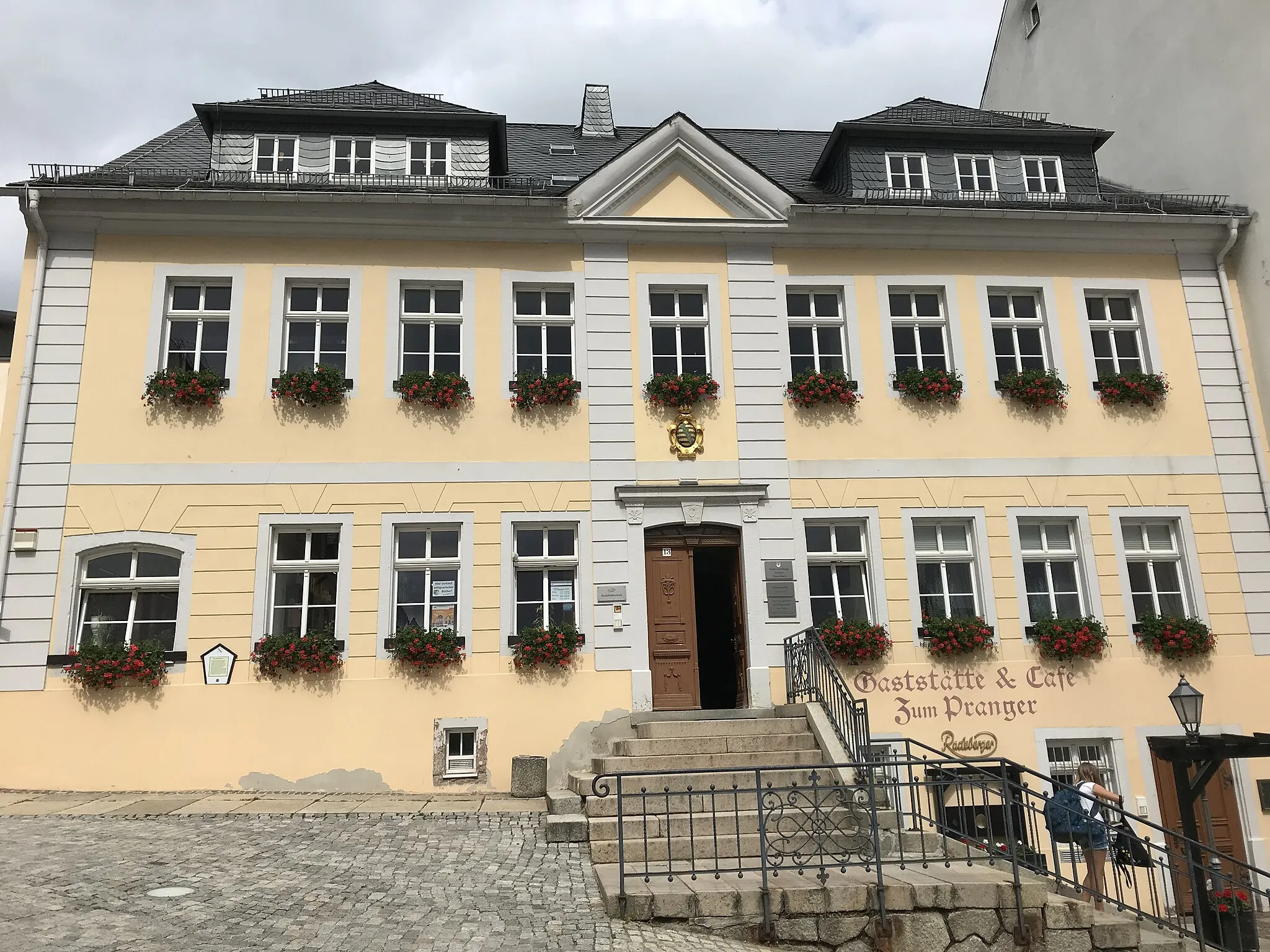
ChodovTownChodov is a small town known for its Baroque buildings, narrow streets, and picturesque setting, providing a delightful cultural stop along the route.
66 km
66 km
VřesováVillageVřesová is a quaint village amidst nature, where you can soak in the peaceful atmosphere and enjoy the countryside views.
71 km
71 km
Větrník706 mPeakVětrník rewards cyclists with a challenging climb and stunning views from its peak, providing a true test of strength and endurance.
82 km
82 km
PřebuzVillagePřebuz offers a tranquil escape with its beautiful landscapes and historic buildings, perfect for a well-deserved rest.
88 km
88 km
Stangenhöhe964 mPeakStangenhöhe impresses cyclists with its winding roads and magnificent scenery, making it one of the highlights of the route.
95 km
95 km
Ellbogen899 mPeakEllbogen is home to the picturesque Ellbogener Berg, a challenging climb that rewards cyclists with unrivaled views of the surrounding landscape.
101 km
101 km
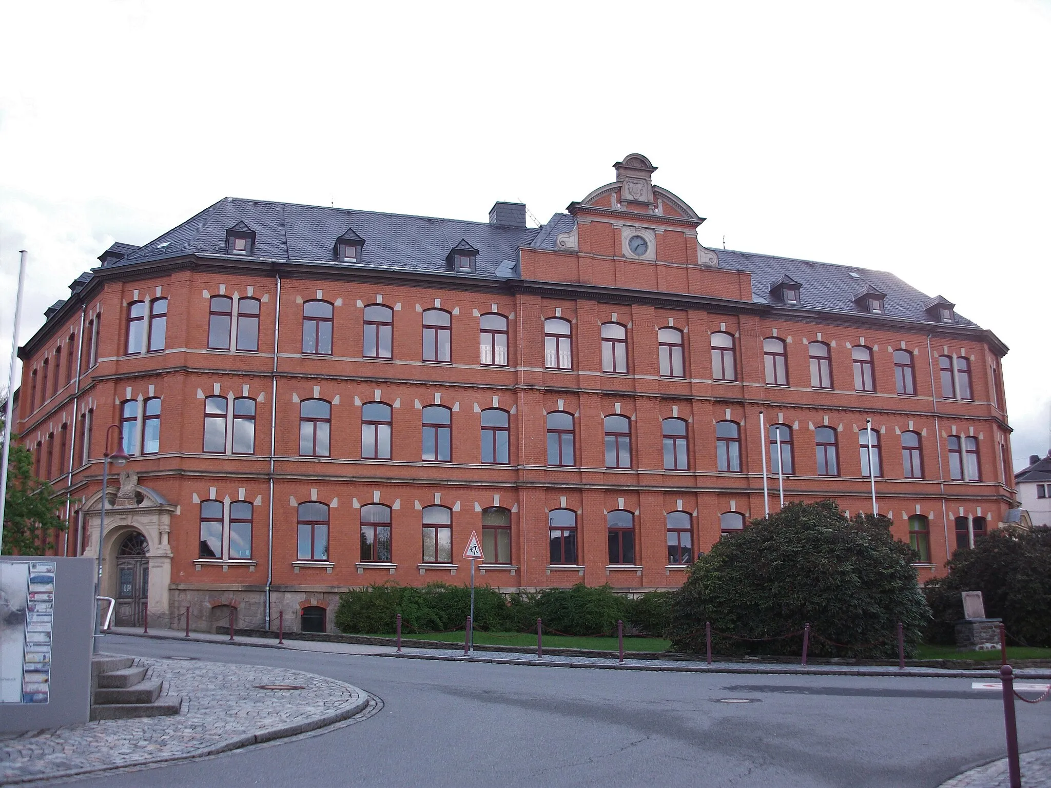
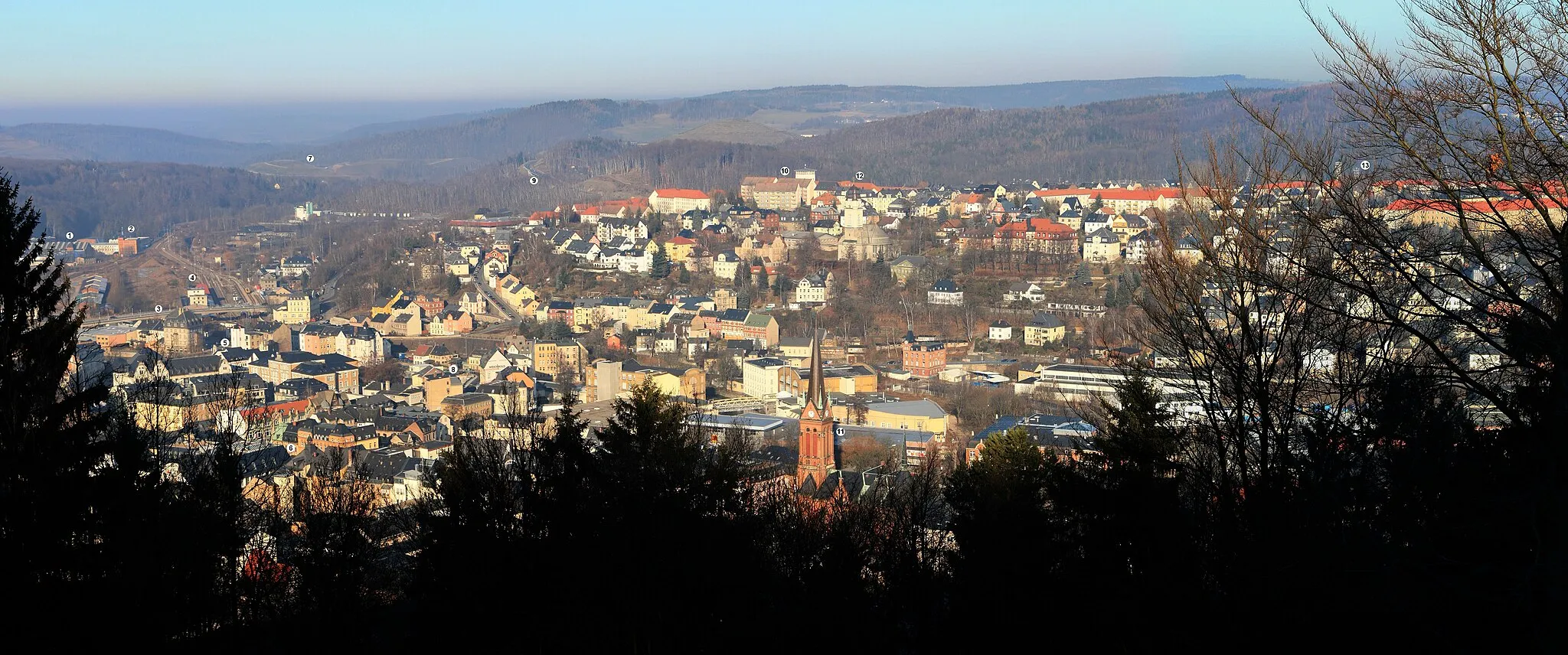
EibenstockTownEibenstock boasts a charming town center and numerous historical landmarks, providing a perfect place to explore before the final stretch.
116 km
116 km
AueTownAue is a vibrant town surrounded by beautiful countryside, offering a mix of cultural attractions and natural beauty for cyclists to enjoy.
120 km
120 km
Eisenstein517 mPeakEisenstein is a quaint village with traditional houses and magnificent views of the Ore Mountains, making it an ideal end point for a challenging cycling route.
126 km
126 km
Finish: Grünhain City centerGrünhain: Tranquil Beauty for Gravel Cyclists in Chemnitz, Germany
Cycling routes from Gruenhain:
Gravel Adventure through Schatzenstein and Emmler Scenic Gravel Cycling through Crottendorf and Scheibenberg Schatzenstein Adventure Spiegelwald Loop Mountain Battle Road Cycling Adventure through Riedertberg and Kirchberg Forest Adventure Gravel Adventure Roads of Discovery Legends of Krušné hory Grünhain Road Adventure Grünhain Gravel Loop
Cycling routes nearby: