Lauter - Lößnitz Valley
A road cycling route starting from Lauter
Cycling through the picturesque Lößnitz Valley
Map

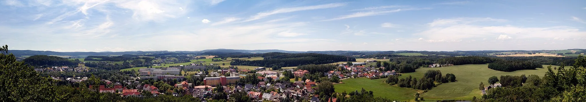
This route takes you through the beautiful Lößnitz Valley, known for its vineyards and charming villages. The route starts in Lauter and continues along scenic countryside, passing by the towns of Zschorlau, Lerchenberg, Hundshübel, Steinberg, Kirchberg, Schützenhöhe, Aue, and Heidelsberg. With a total distance of 52 kilometers and an elevation gain of 1235 meters, this road cycling route provides a challenging but rewarding experience. Enjoy the breathtaking views, historical highlights, and the peaceful atmosphere of the Lößnitz Valley.
road
52 km
1235 m
Tough
Route profile
Highlights on the route
0 km
0 km
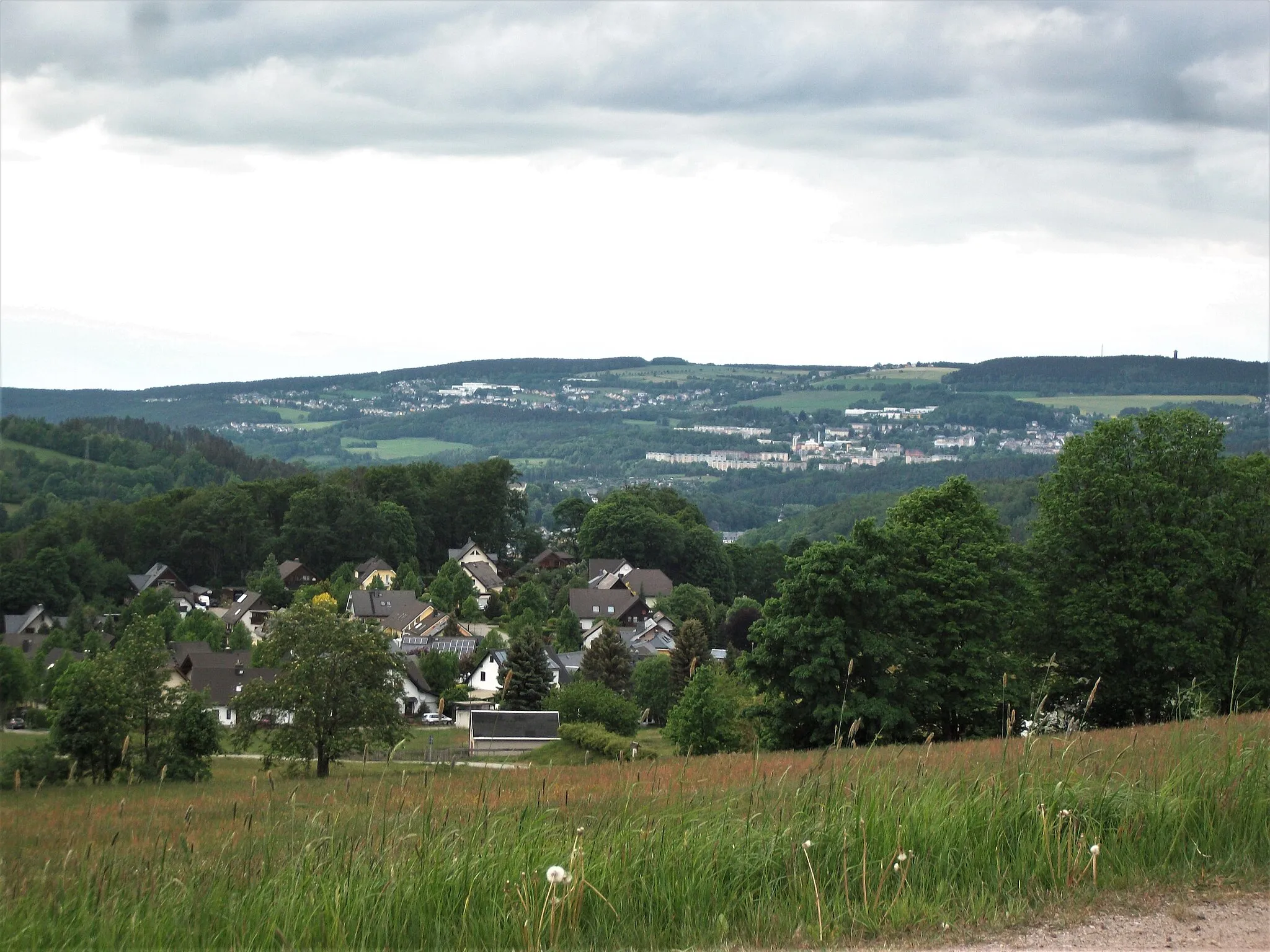
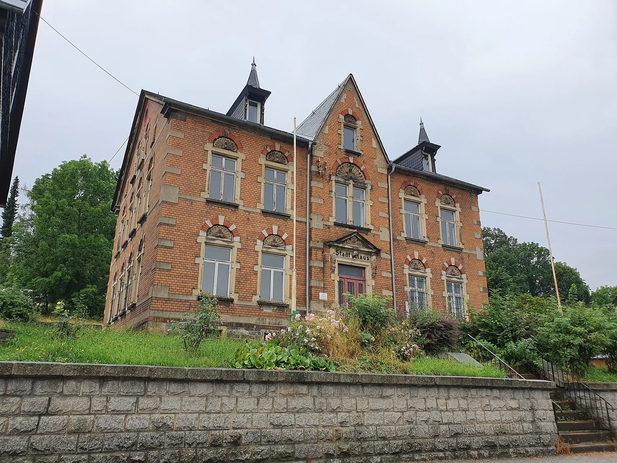
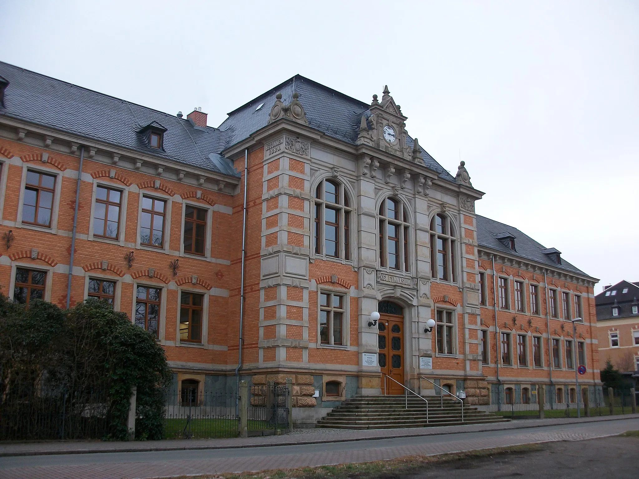
Start: Lauter City centerLauter: A Serene Cycling Getaway in Chemnitz
Lauter is a municipality located in Chemnitz, Germany. From a cyclist's perspective, Lauter offers enjoyable rides through serene countryside landscapes. Although there are no famous cycling-related spots or iconic climbs nearby, the area provides well-paved roads that are suitable for both road and gravel cycling. Cyclists visiting Lauter can immerse themselves in the beauty of the region and explore the peaceful surroundings at their own pace.9 km
9 km
ZschorlauVillageVisit Zschorlau, a town famous for its historic half-timbered houses and the Binghöhle, Germany's oldest show cave.
9 km
9 km
Lerchenberg566 mPeakStop by Lerchenberg and explore its nature reserve, offering incredible views of the surrounding landscape.
14 km
14 km
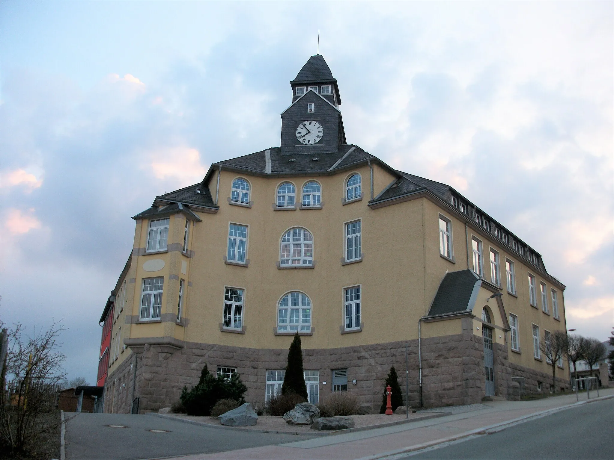
HundshübelVillageHundshübel is a must-see highlight, with its impressive Hundshübel Tower providing panoramic views of the Ore Mountains.
16 km
16 km
Steinberg603 mPeakMake a detour to Steinberg and enjoy the tranquility of its reservoir and surrounding forests.
30 km
30 km
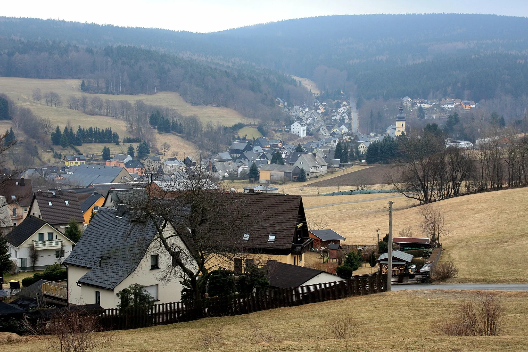
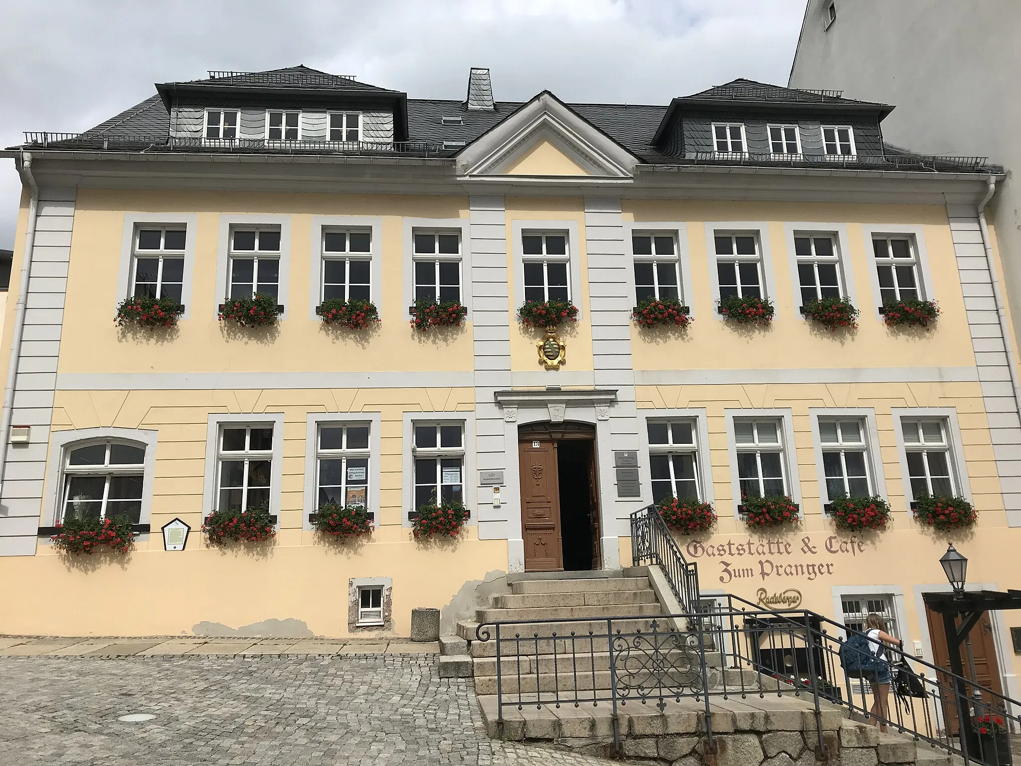
KirchbergTownVisit Kirchberg and discover its well-preserved medieval fortress, Schlosskirche, and picturesque old town.
31 km
31 km
Schützenhöhe438 mPeakSchützenhöhe offers stunning views overlooking the Zwickau Mulde River and the surrounding hills.
48 km
48 km
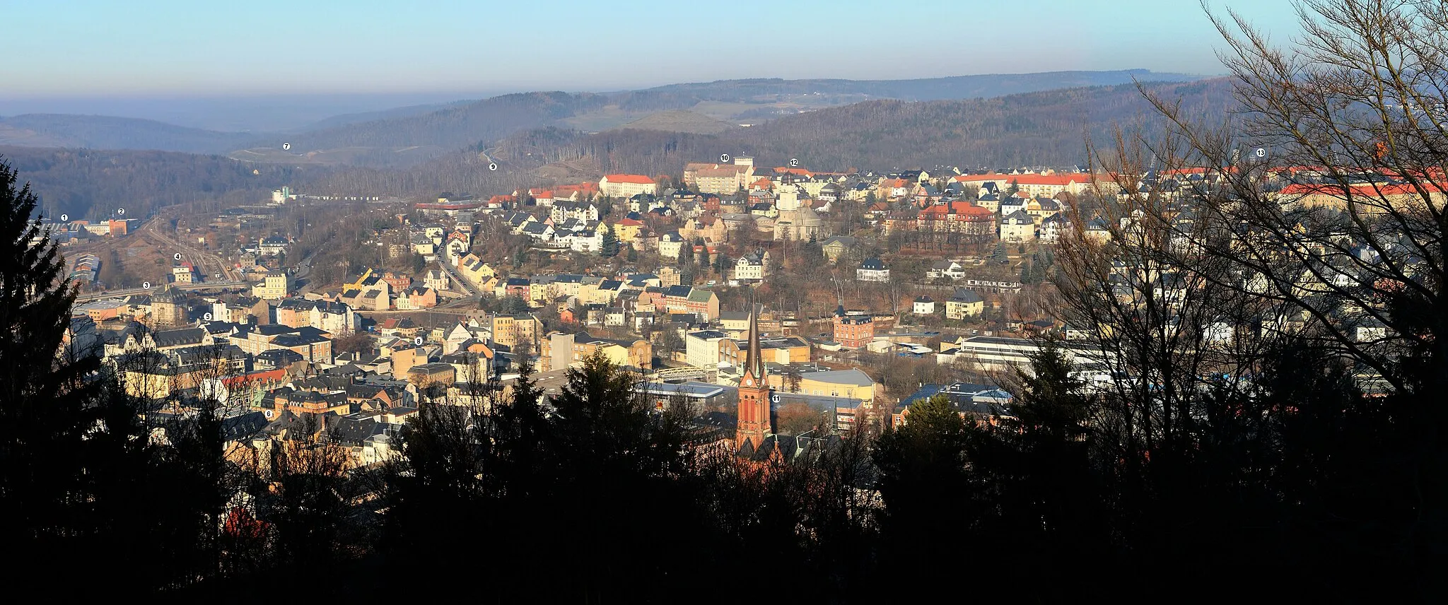
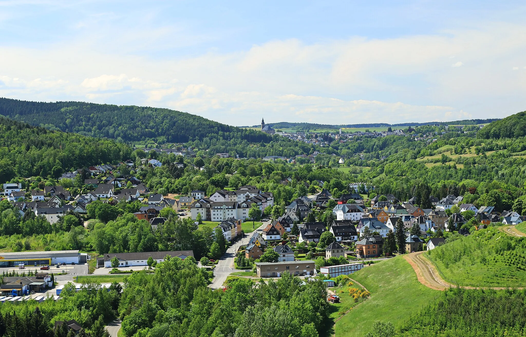
AueTownExplore Aue, a historic mining town with charming architecture and the popular miniature world Klein-Erzgebirge, showcasing the region's traditions and landscapes.
50 km
50 km
Heidelsberg522 mPeakStop at Heidelsberg and hike up the hill to enjoy panoramic views of the Ore Mountains.
52 km
52 km
Finish: Lauter City centerLauter: A Serene Cycling Getaway in Chemnitz
Cycling routes from Lauter:
Lauter and the Ore Mountains Gravel Adventure Bernsbach and Beierfeld Gravel Loop Road Cycling Adventure: Exploring the Ore Mountains Trek Through History: Schlettau and Pöhla Gravel Route Ultimate Ore Mountains Gravel Expedition Erzgebirge Loop Mountains and Valleys Gravel Adventure Annaberg-Buchholz Loop Scenic Countryside Adventure Lauter - Lößnitz Valley Lauter - Erzgebirge Loop Lauter - Ore Mountains Gravel Adventure
Cycling routes nearby: