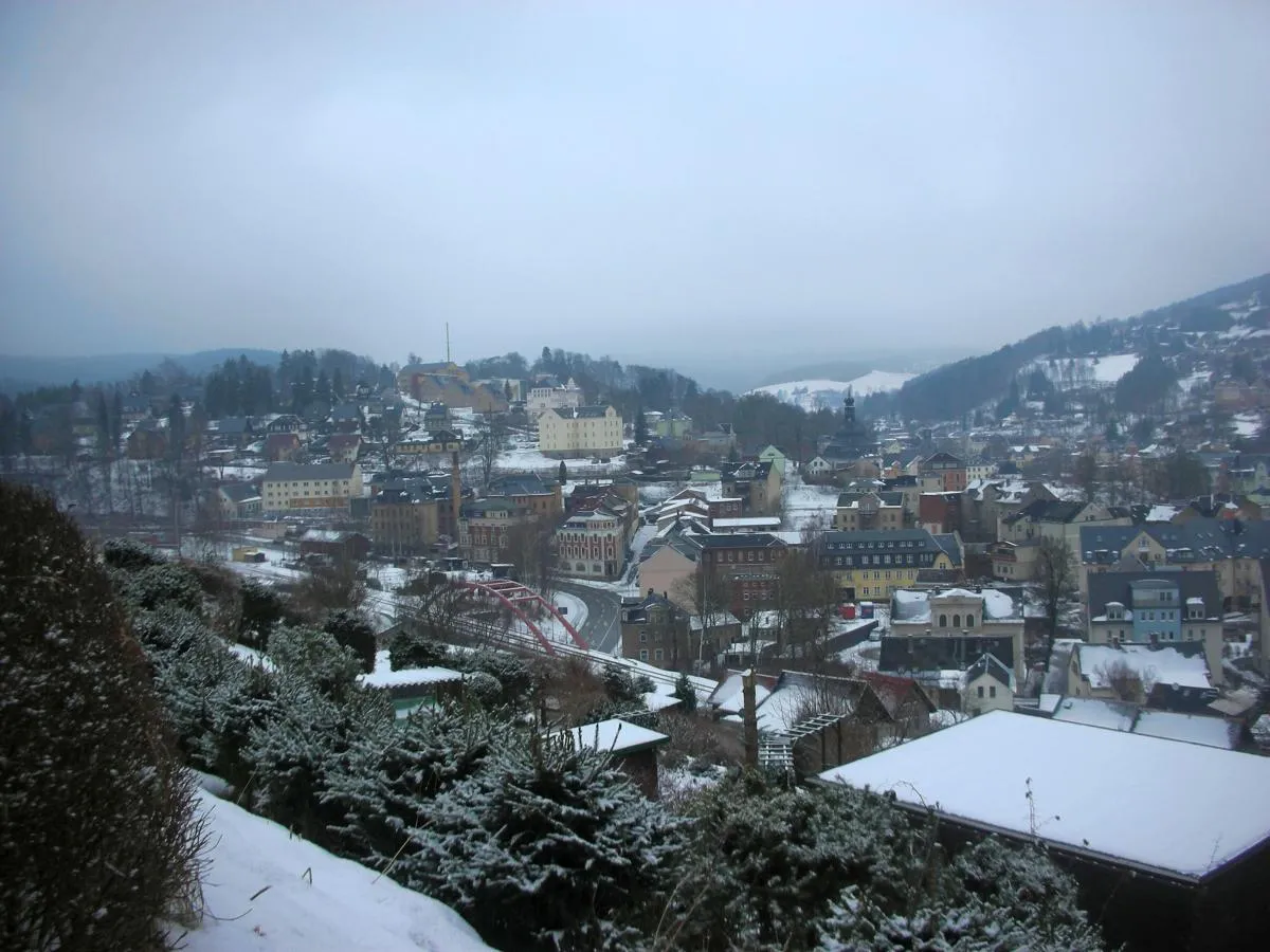
Cycling Paradise in Chemnitz
Cycling routes from Markneukirchen
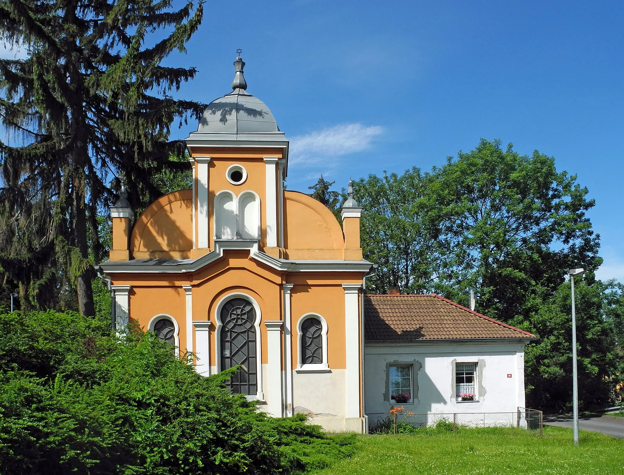
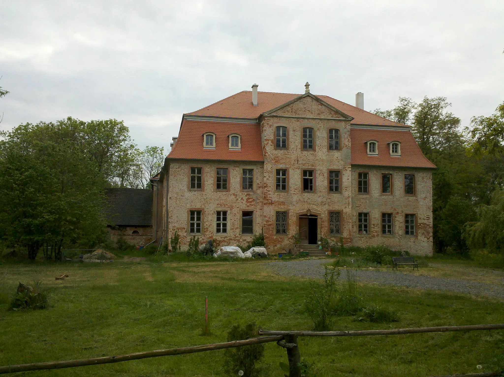
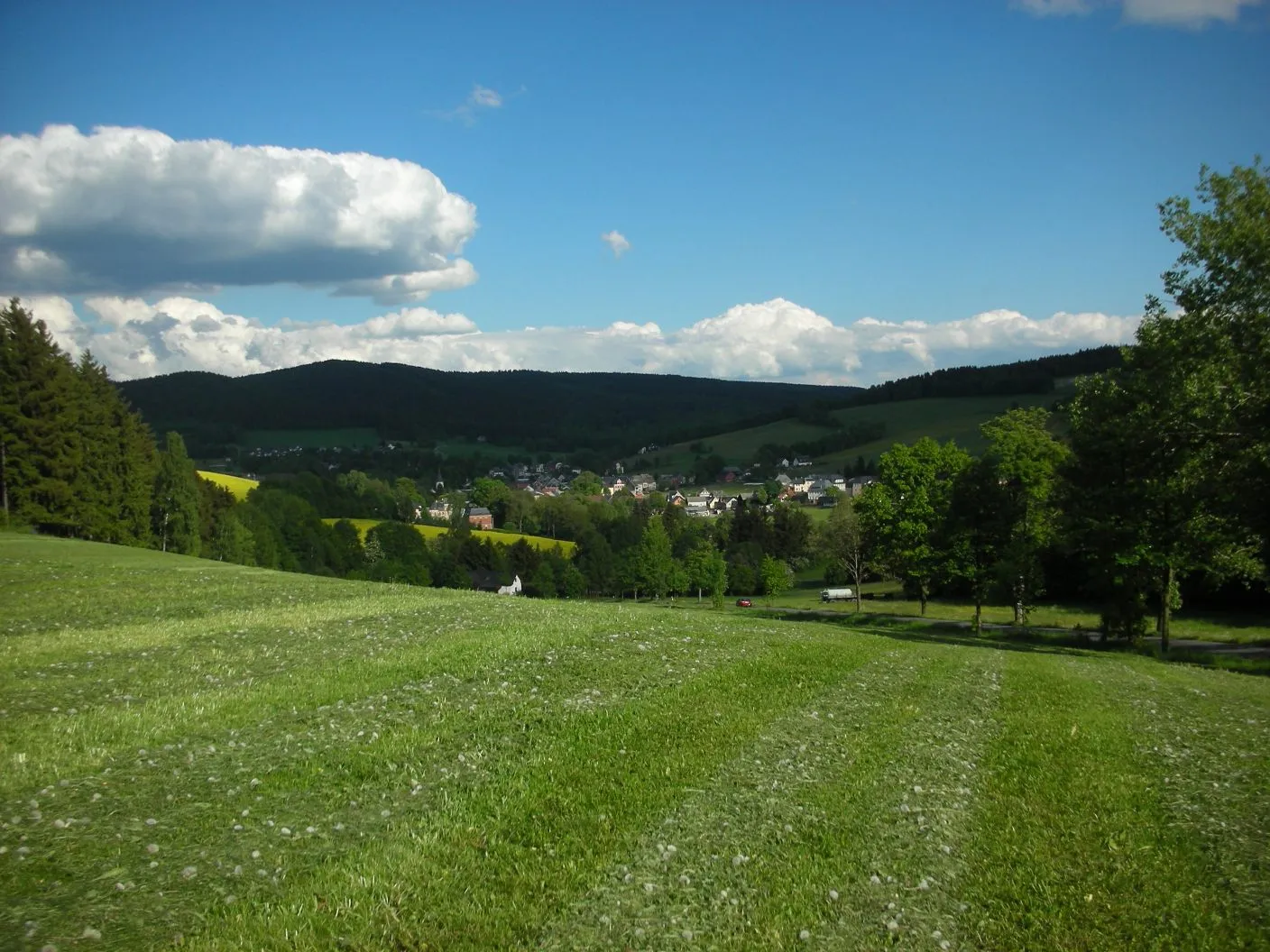
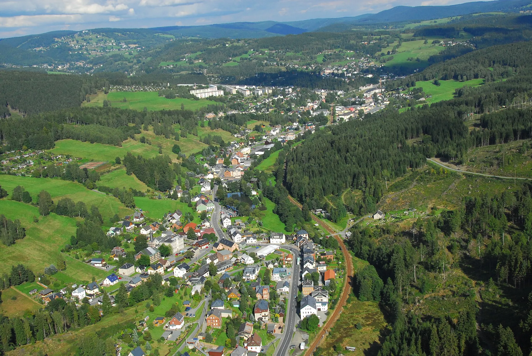
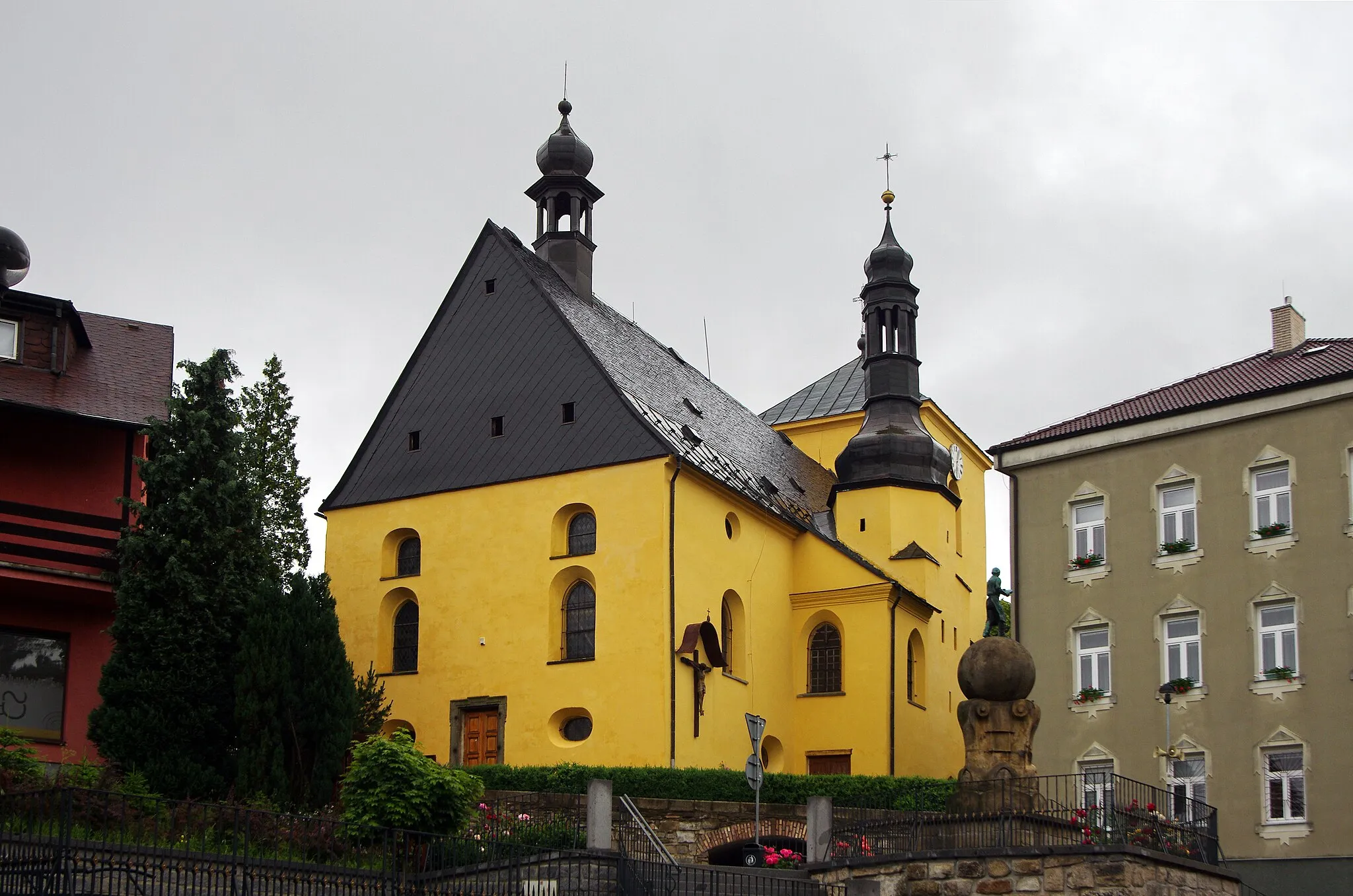
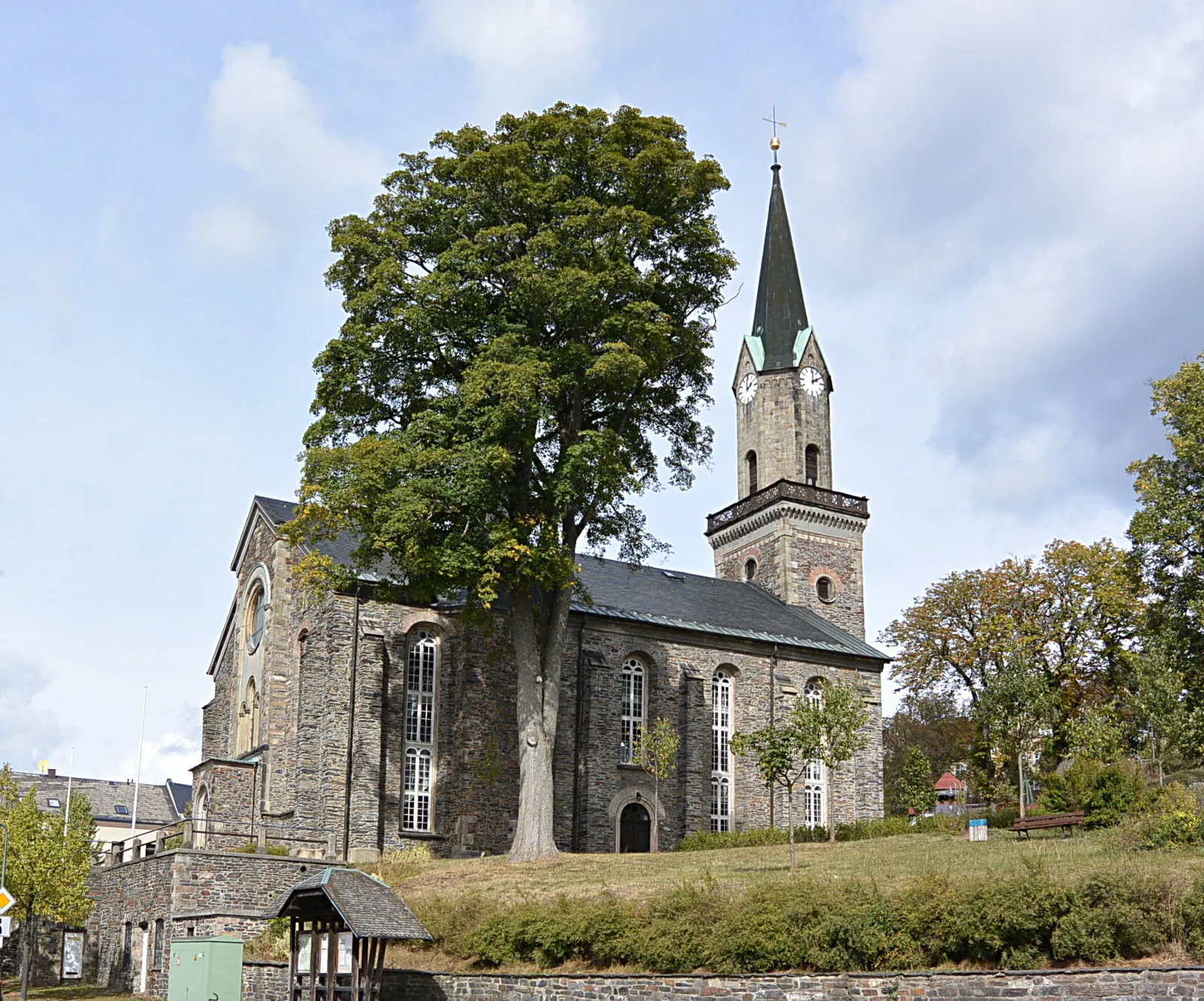
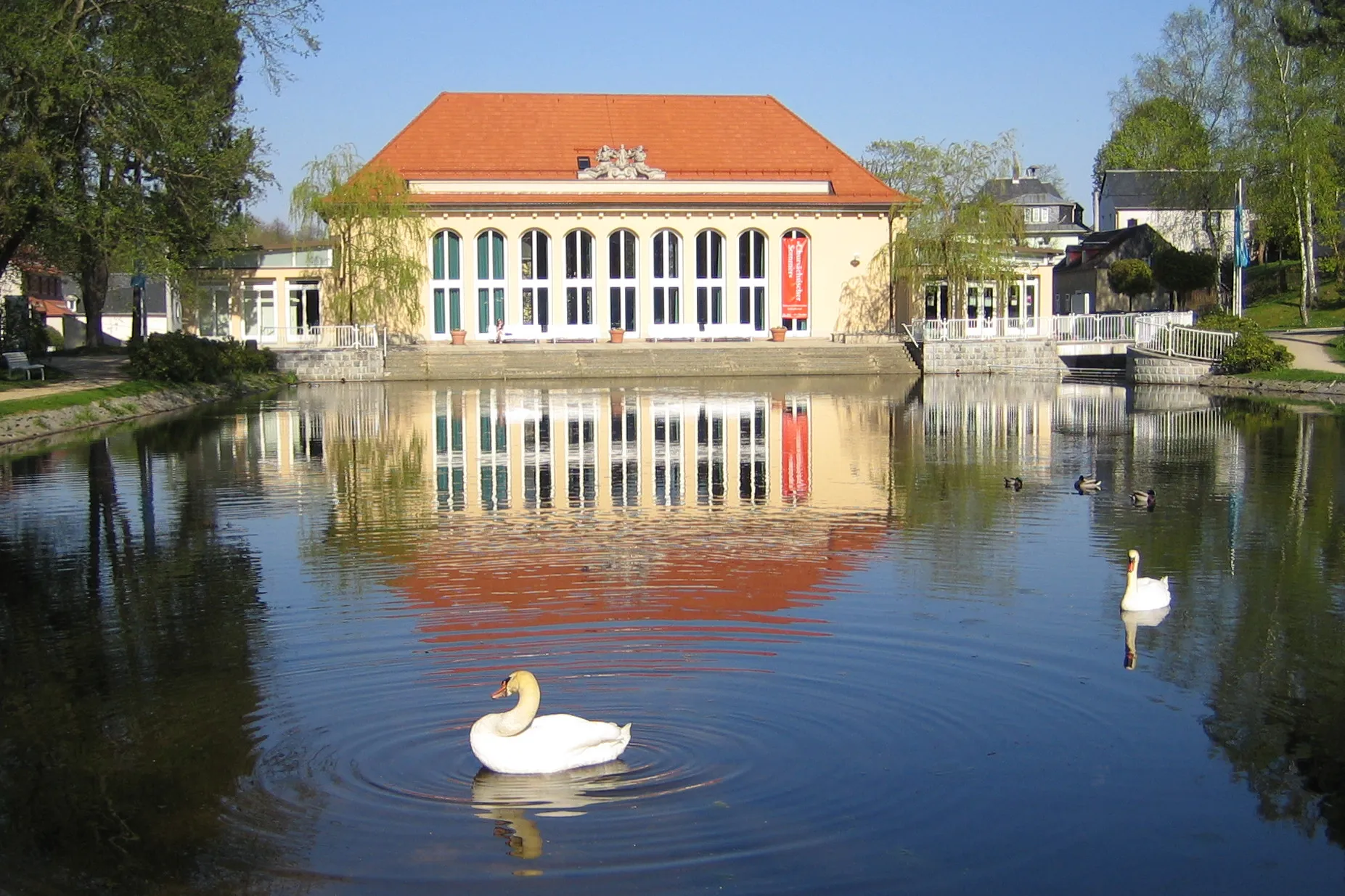
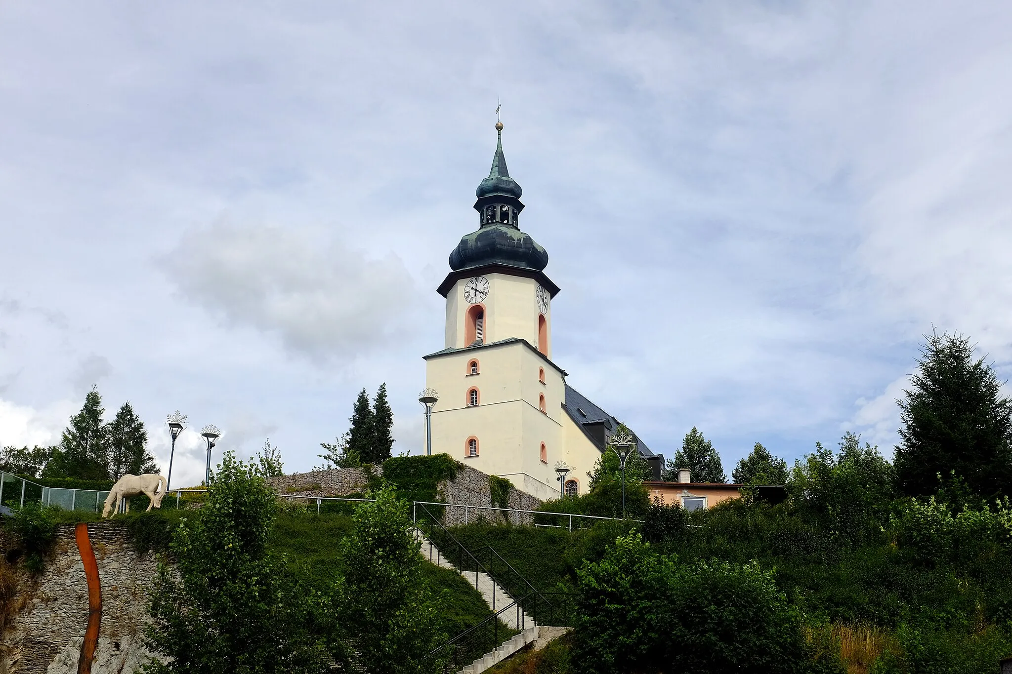
Markneukirchen is a small town located in the region of Chemnitz, Germany. From a cyclist's perspective, this locality offers beautiful scenery and relatively quiet roads, making it a great spot for road cycling. The area is known for its rolling hills and picturesque landscapes, providing an enjoyable experience for cyclists of all levels. With its well-maintained roads and minimal traffic, Markneukirchen is also a popular destination for gravel cycling enthusiasts. Nearby, cyclists can explore the Vogtland region, renowned for its challenging and scenic routes. One of the well-known climbs in the vicinity is the Kuhberg, which serves as a test for both amateur and professional cyclists. Overall, Markneukirchen provides a wonderful cycling experience with diverse terrain and stunning views.
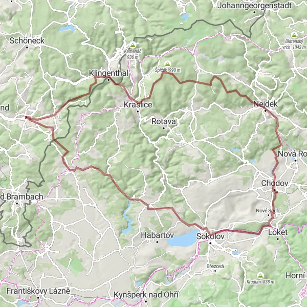
Enjoy the gravel cycling route from Markneukirchen to Kraslice
Discover the picturesque landscapes as you cycle from Markneukirchen to Kraslice on this 87-kilometer route. The ride includes a challenging ascent of 1788 meters and passes through highlights such as Schneidersberge, Allee, Wildenthal, Stangenhöhe, Kraslice, Sokol, Vysoký kámen – Vyhlídková skála, and Eubabrunn.
A shorter road cycling route from Chemnitz to Luby
This road cycling route offers a shorter and more leisurely ride from Chemnitz to Luby. With a distance of 38 kilometers, it is perfect for a day trip or a quick cycling getaway. You'll encounter moderate terrains with a total ascent of 554 meters, making it suitable for amateur cyclists with some level of fitness. Along the way, you'll have the opportunity to explore charming villages, scenic landscapes, and historic landmarks. Highlights include Tříslová, a picturesque village located 6 kilometers into the route, and Galgenberg, which offers fantastic panoramic views at the end of the route.

Discover the scenic gravel roads from Chemnitz to Wohlbach and Hammerbrücke
Embark on a scenic gravel ride from Chemnitz to Wohlbach and Hammerbrücke. This 52-kilometer route offers breathtaking landscapes and moderate terrains. With an ascent of 1048 meters, it is suitable for gravel enthusiasts seeking a moderate challenge. Along the route, you'll encounter picturesque villages, dense forests, and peaceful lakes. Highlights include Wohlbach, a scenic village located 6 kilometers into the route, and Raunerberg, which offers splendid views from its elevated position.

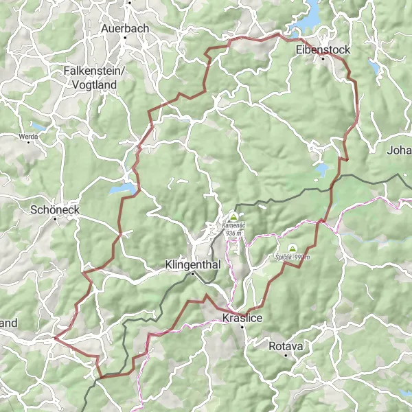
A thrilling gravel adventure from Chemnitz to Bad Brambach and Silberbach
Experience a thrilling gravel adventure from Chemnitz to Bad Brambach and Silberbach. This 86-kilometer route offers a unique blend of natural beauty and challenging terrains. With an ascent of 1366 meters, it is ideal for gravel enthusiasts with a moderate level of fitness. Along the way, you'll encounter vibrant forests, serene lakes, and charming villages. Highlights include Bad Brambach, known for its healing thermal waters, and Studánecký vrch, offering stunning views of the surroundings.
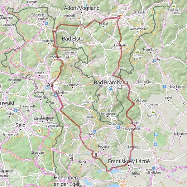
Discover the enchanting landscapes of Markneukirchen on this gravel cycling route, passing through scenic highlights such as Wirtsberg and Františkovy Lázně.
Embark on a 71-kilometer gravel cycling adventure that takes you through the charming countryside near Markneukirchen. Enjoy moderate elevation gains with a total ascent of 1195 meters as you explore the unique natural and cultural highlights of the region. The route offers a captivating mix of rolling hills, picturesque villages, and awe-inspiring views.
Set off on a road tour from Markneukirchen to Adorf/Vogtland
Embark on a scenic road tour from Markneukirchen to Adorf/Vogtland, covering a distance of 85 kilometers and ascending 1332 meters. Highlights along the route include Rauner Hammer, Smrkovec, Faßmannsreuth, Osseck am Wald, Wachthübel, Bösenbrunn, Adorf/Vogtland, and Weinberg.

Uncover the hidden gems near Markneukirchen on this gravel cycling route, featuring highlights such as Wirtsberg and Doubrava Castle.
Pedal your way through a 72-kilometer gravel cycling route that showcases the charming landscapes surrounding Markneukirchen. With an ascent of 1147 meters, this route offers a challenging yet rewarding experience for avid cyclists. Explore the region's natural beauty and immerse yourself in its rich history and culture.
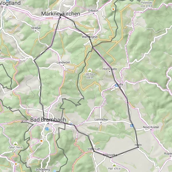
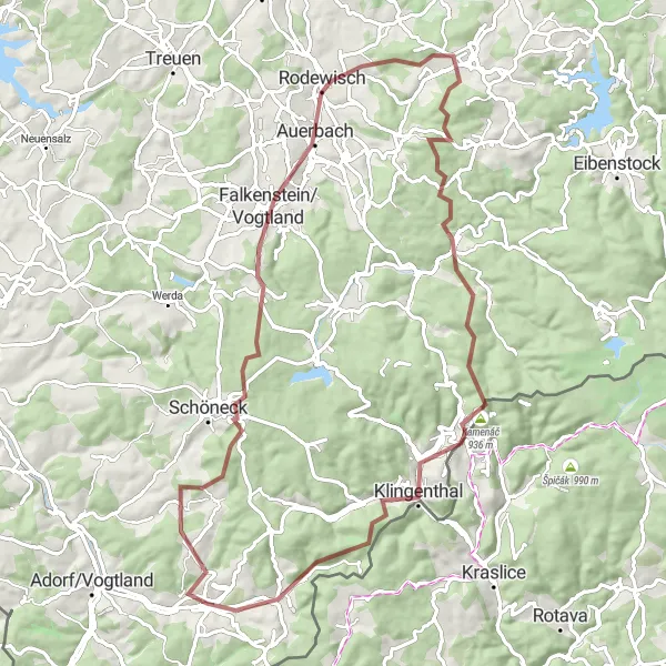
Embark on a gravel adventure from Klingenthal to Tříslová
Experience an exciting gravel adventure as you cycle from Klingenthal to Tříslová, covering a distance of 102 kilometers and climbing 1734 meters. Highlights along the route include Klingenthal, Sokol, Jedlovec, Staré Sedlo, Josefov, Horní Luby, and Tříslová.

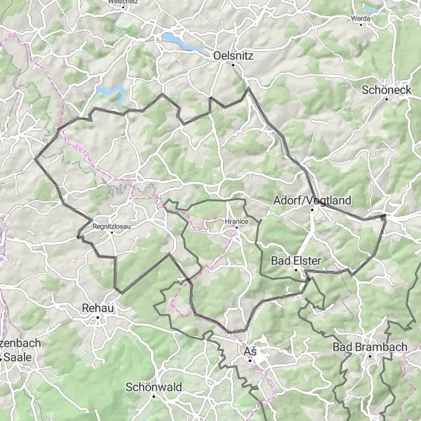
Embark on a scenic road ride around Götzenberg
Experience the beauty of Götzenberg on this 47-kilometer road ride, featuring a total ascent of 765 meters. Highlights along the loop include Götzenberg, Klingenthal, Kraslice, Černý kopec, Opatovský vrch, Horní Luby, and Bismarcksäule.
Explore the gravel paths from Markneukirchen to Erlbach
Take on this challenging gravel ride from Markneukirchen to Erlbach, covering a distance of 78 kilometers and ascending 1542 meters. The route passes through scenic highlights like Rehhübel, Rodewisch, Steinberg, Laubberg, Morgenröthe-Rautenkranz, and Mittelberg before reaching Erlbach.
Cycling routes nearby:
Nearby regions: