Gravel Adventure: Bad Brambach and Silberbach
A gravel cycling route starting from Markneukirchen
A thrilling gravel adventure from Chemnitz to Bad Brambach and Silberbach
Map

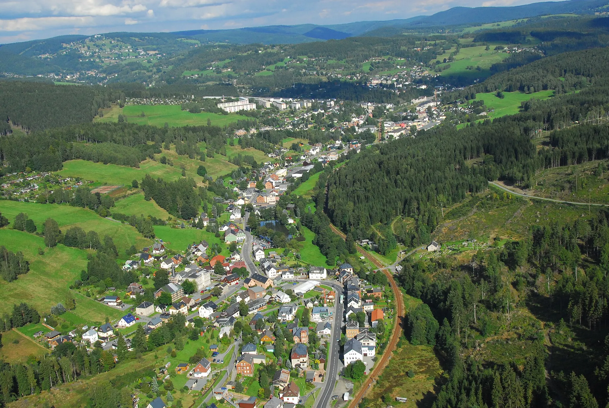
Experience a thrilling gravel adventure from Chemnitz to Bad Brambach and Silberbach. This 86-kilometer route offers a unique blend of natural beauty and challenging terrains. With an ascent of 1366 meters, it is ideal for gravel enthusiasts with a moderate level of fitness. Along the way, you'll encounter vibrant forests, serene lakes, and charming villages. Highlights include Bad Brambach, known for its healing thermal waters, and Studánecký vrch, offering stunning views of the surroundings.
gravel
86 km
1366 m
Tough
Route profile
Highlights on the route
0 km
0 km
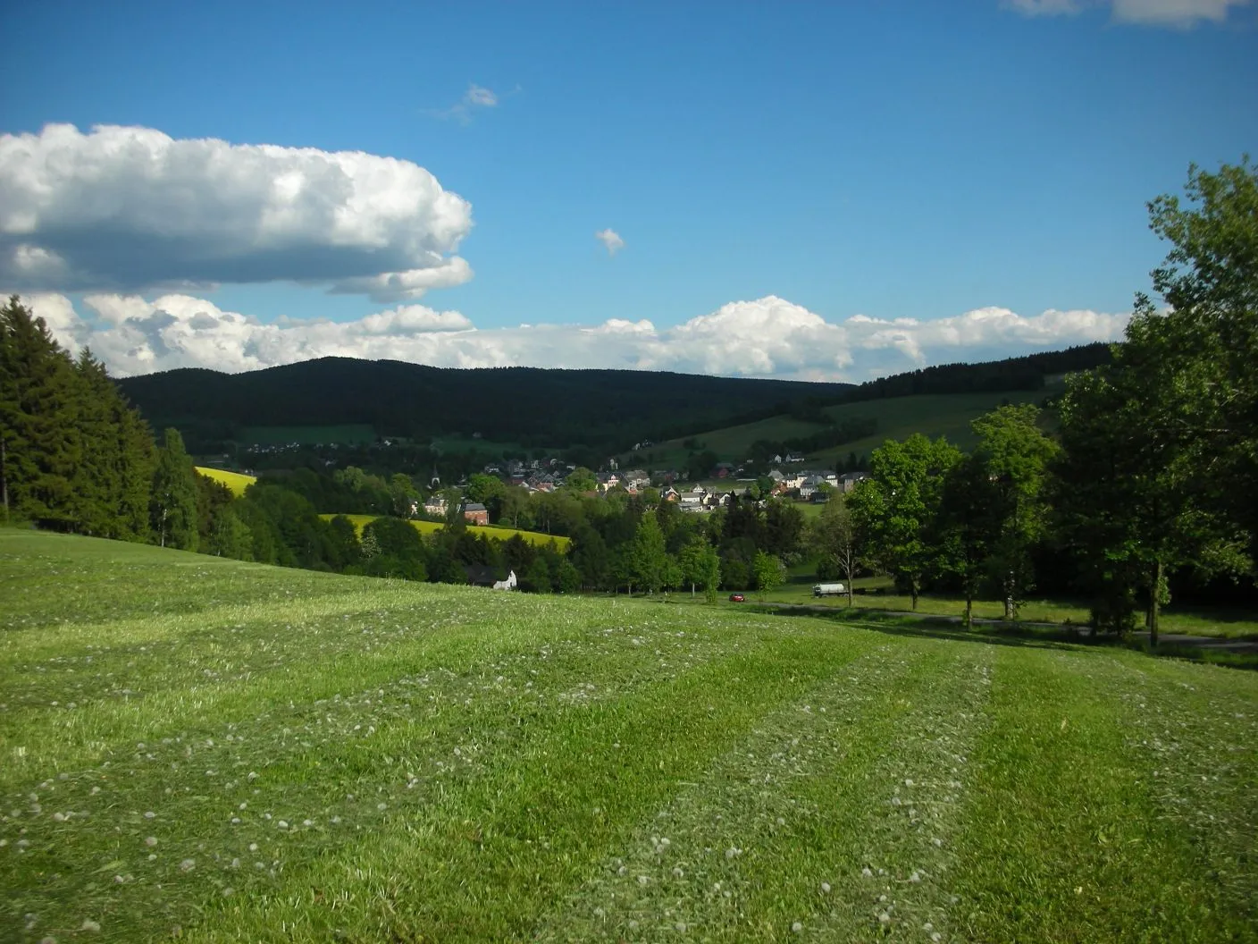
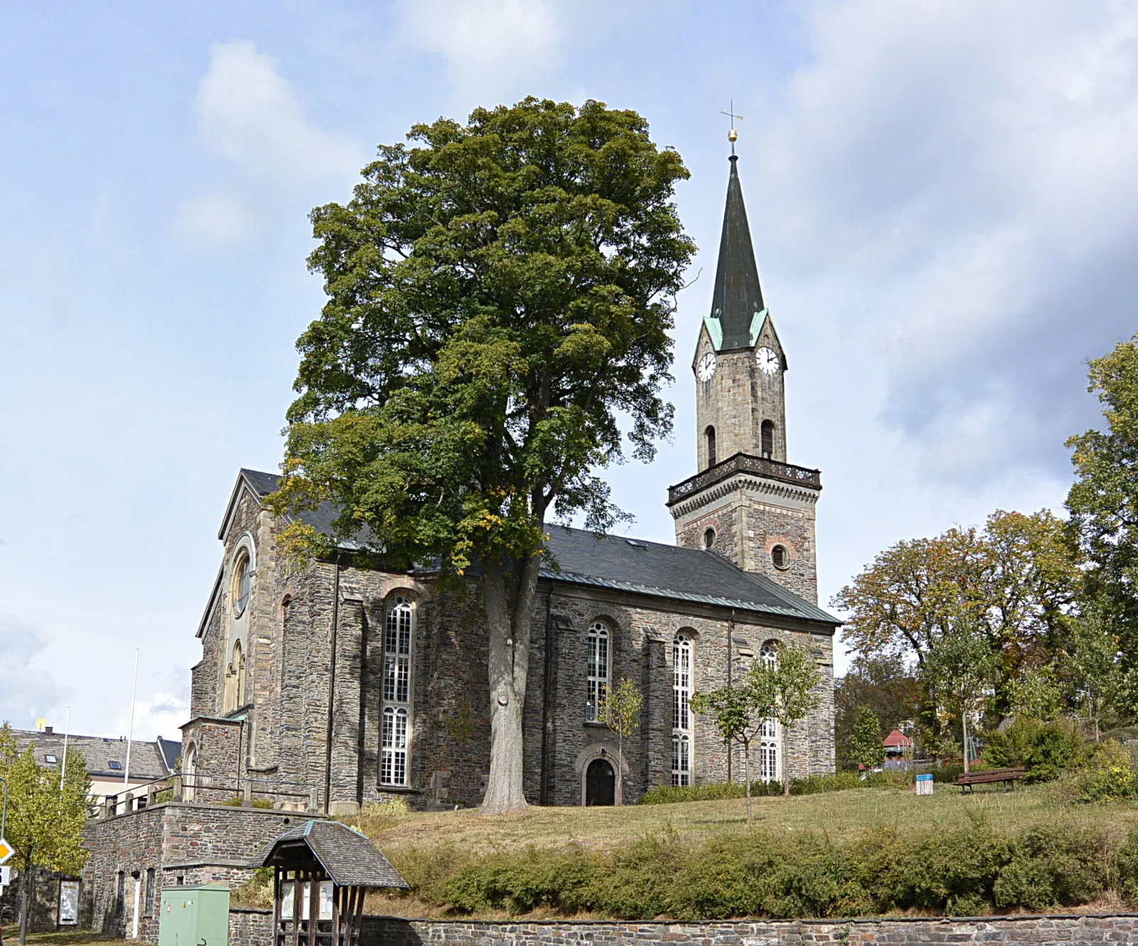
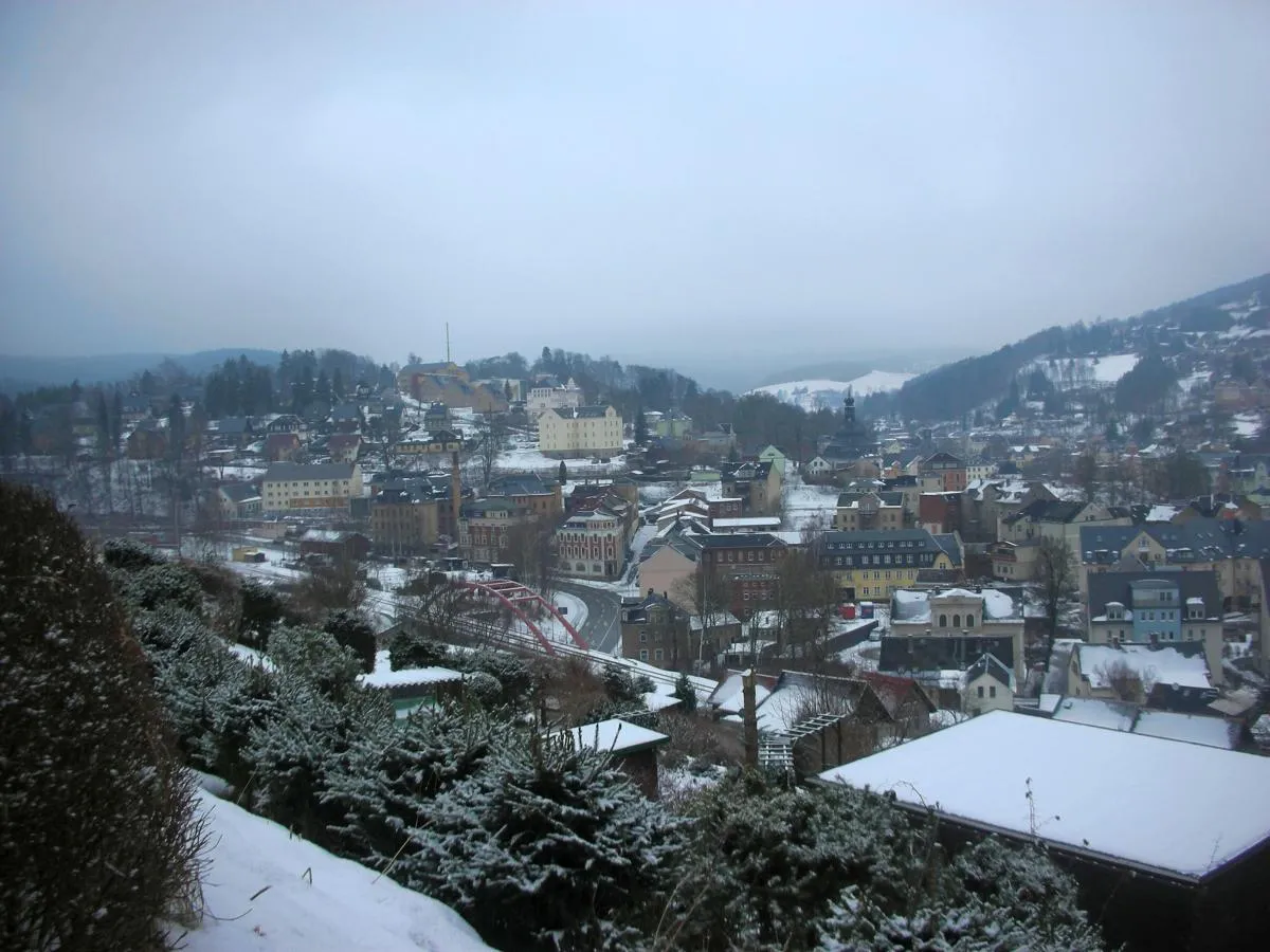
Start: Markneukirchen City centerMarkneukirchen: Cycling Paradise in Chemnitz
Markneukirchen is a small town located in the region of Chemnitz, Germany. From a cyclist's perspective, this locality offers beautiful scenery and relatively quiet roads, making it a great spot for road cycling. The area is known for its rolling hills and picturesque landscapes, providing an enjoyable experience for cyclists of all levels. With its well-maintained roads and minimal traffic, Markneukirchen is also a popular destination for gravel cycling enthusiasts. Nearby, cyclists can explore the Vogtland region, renowned for its challenging and scenic routes. One of the well-known climbs in the vicinity is the Kuhberg, which serves as a test for both amateur and professional cyclists. Overall, Markneukirchen provides a wonderful cycling experience with diverse terrain and stunning views.11 km
11 km
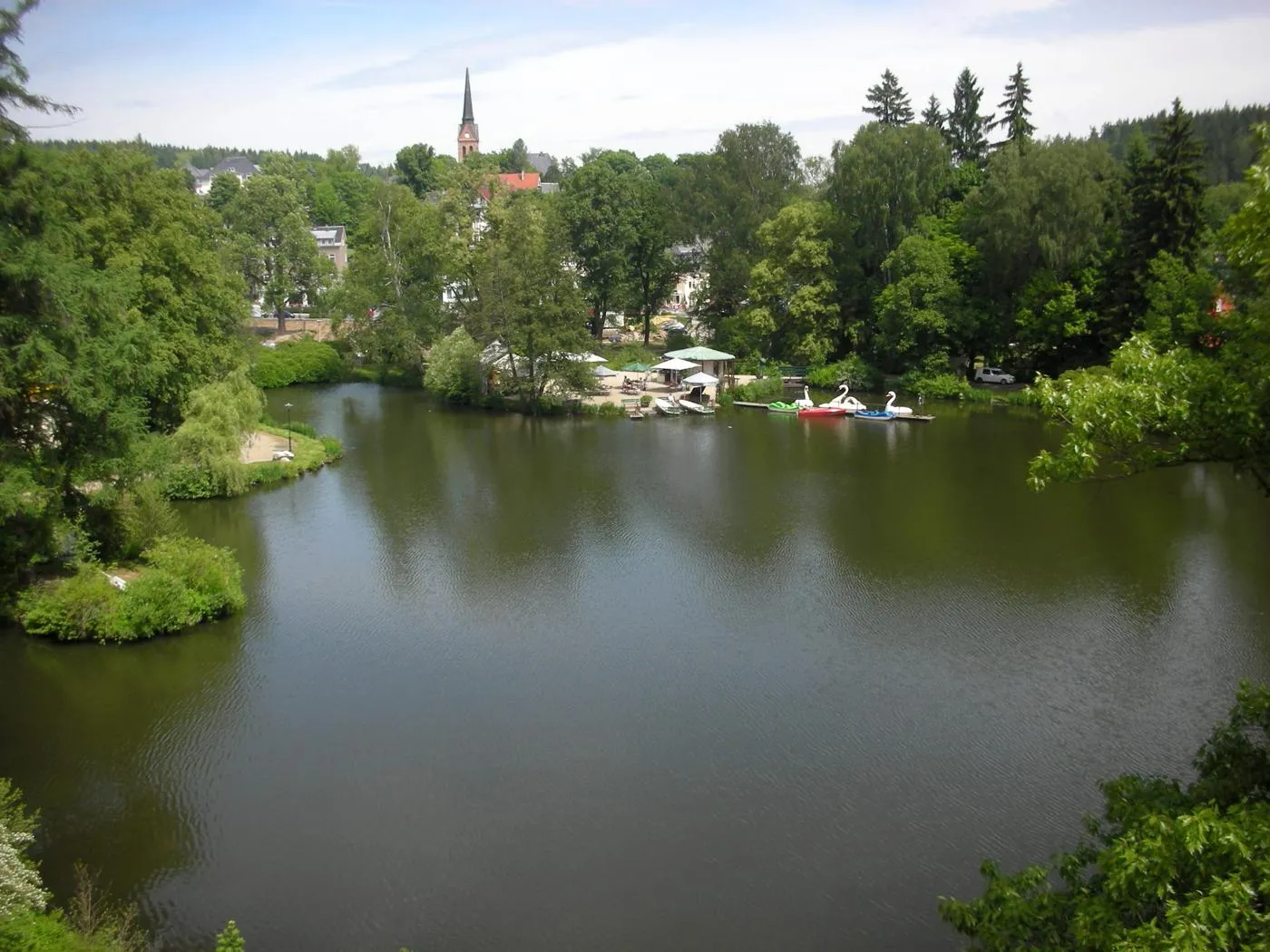
Bad BrambachTownBad Brambach, approximately 11 kilometers into the route, is renowned for its therapeutic thermal waters.
17 km
17 km
Kapellenberg759 mPeakAt 17 kilometers into the route, Kapellenberg invites you to explore its natural beauty and enjoy panoramic views.
34 km
34 km
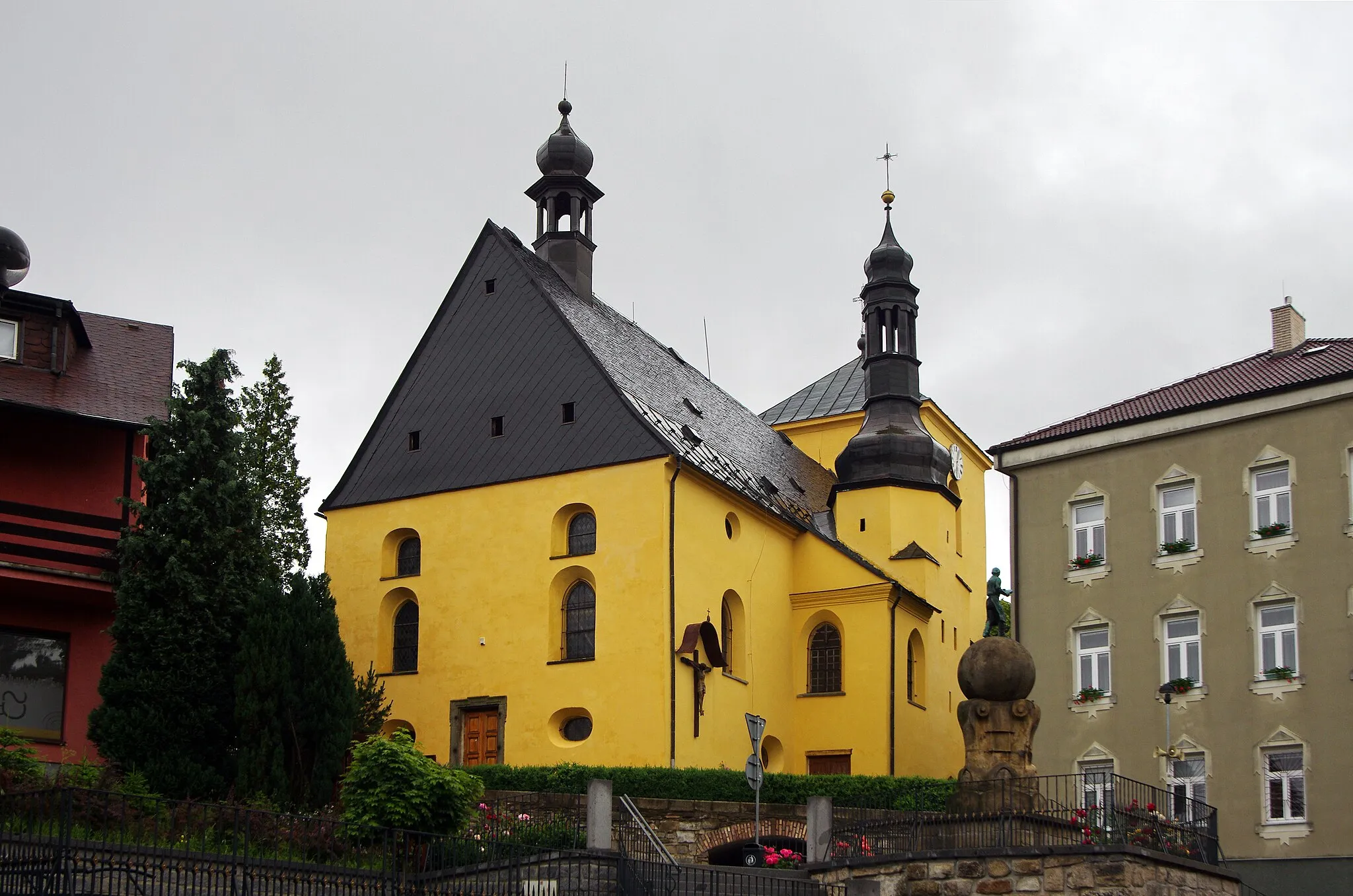
SchirndingVillageSchirnding, located 34 kilometers into the route, is a charming town with a rich history and impressive architectural gems.
41 km
41 km
Basalthügel652 mPeakBasalthügel, at 41 kilometers into the route, provides a unique geological feature to admire and learn about.
50 km
50 km
SilberbachVillageLocated 50 kilometers into the route, Silberbach is a quaint village set amidst picturesque landscapes.
58 km
58 km
ErkersreuthVillageErkersreuth, at 58 kilometers into the route, offers a tranquil and serene atmosphere for a rest stop.
71 km
71 km
Studánecký vrch697 mPeakStudánecký vrch, at 71 kilometers into the route, rewards you with a panoramic view of the surrounding countryside.
82 km
82 km
SträßelVillageSträßel, located 82 kilometers into the route, is a quiet hamlet with scenic beauty and tranquility.
85 km
85 km
Galgenberg558 mPeakGalgenberg, situated at the end of the route, provides stunning vistas of the entire region.
86 km
86 km
Finish: Markneukirchen City centerMarkneukirchen: Cycling Paradise in Chemnitz
Cycling routes from Markneukirchen:
Luby Loop Cycling Route Markneukirchen Circular Road Route Scenic Gravel Ride: Wohlbach and Hammerbrücke Götzenberg Loop Road Ride Klingenthal to Tříslová Gravel Adventure Gravel Adventure: Bad Brambach and Silberbach Chemnitz - Neualbenreuth Cycling Route Markneukirchen to Erlbach Gravel Ride Markneukirchen to Adorf/Vogtland Road Tour Markneukirchen to Kraslice Gravel Cycling Route Wirtsberg and Františkovy Lázně Gravel Cycling Route Wirtsberg and Doubrava Castle Gravel Cycling Route
Cycling routes nearby: