Markneukirchen Circular Road Route
A road cycling route starting from Markneukirchen
Explore Markneukirchen on this circular road route
Map

Discover the beauty of Markneukirchen and its surroundings with this 88-kilometer circular road route. With an ascent of 1216 meters, it offers a challenging yet rewarding experience for road cyclists. Along the way, you'll pass through vibrant towns, lush forests, and rolling hills. Highlights include Rauner Hammer, offering insights into the region's heritage, and Aš, a Czech town known for its charming architecture. At the end of the route, Galgenberg rewards you with breathtaking views of the entire area.
road
88 km
1216 m
Tough
Route profile
Highlights on the route
0 km
0 km
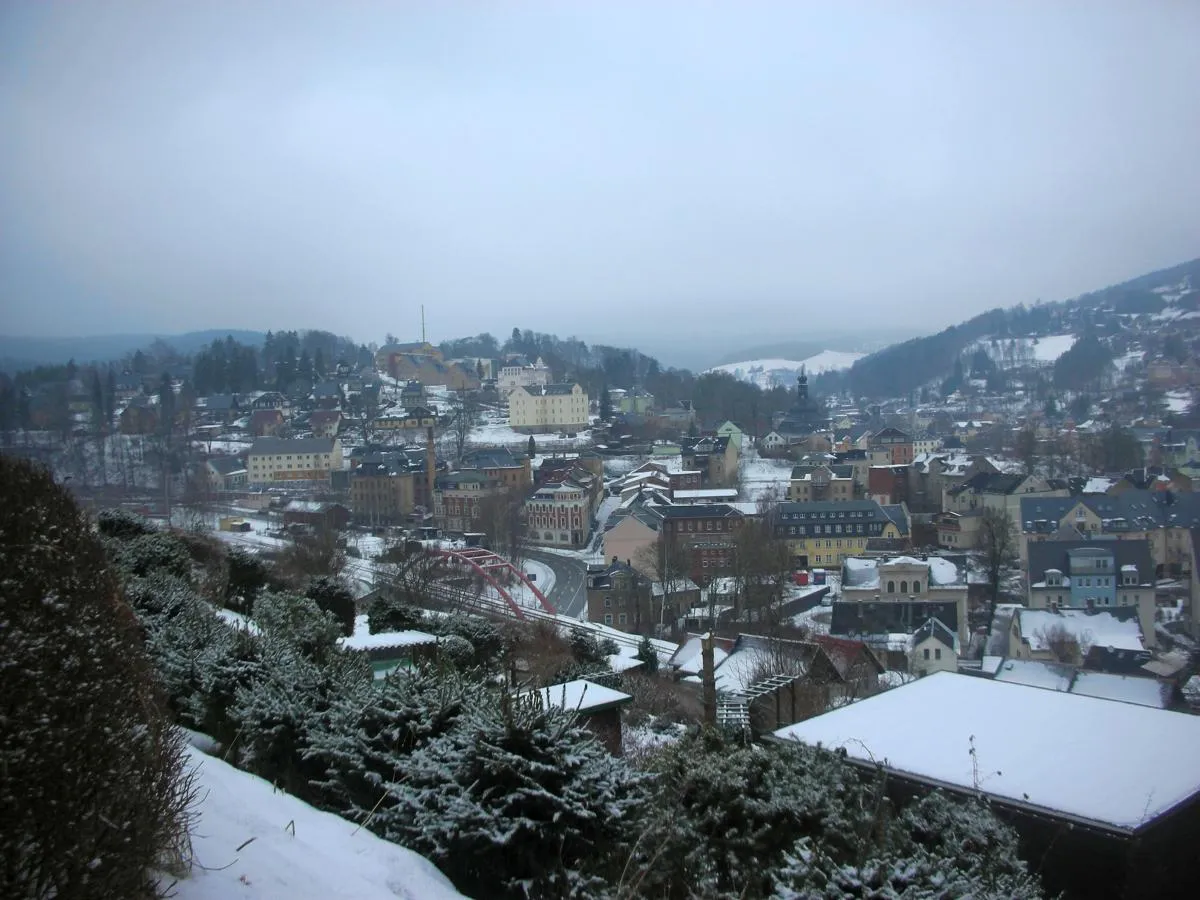
Start: Markneukirchen City centerMarkneukirchen: Cycling Paradise in Chemnitz
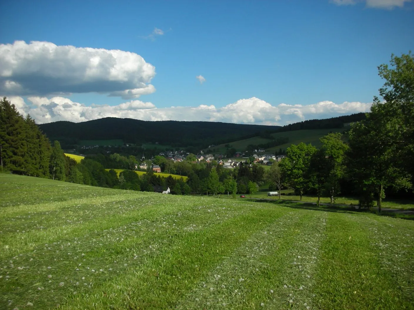
Markneukirchen is a small town located in the region of Chemnitz, Germany. From a cyclist's perspective, this locality offers beautiful scenery and relatively quiet roads, making it a great spot for road cycling. The area is known for its rolling hills and picturesque landscapes, providing an enjoyable experience for cyclists of all levels. With its well-maintained roads and minimal traffic, Markneukirchen is also a popular destination for gravel cycling enthusiasts. Nearby, cyclists can explore the Vogtland region, renowned for its challenging and scenic routes. One of the well-known climbs in the vicinity is the Kuhberg, which serves as a test for both amateur and professional cyclists. Overall, Markneukirchen provides a wonderful cycling experience with diverse terrain and stunning views.0 km
0 km
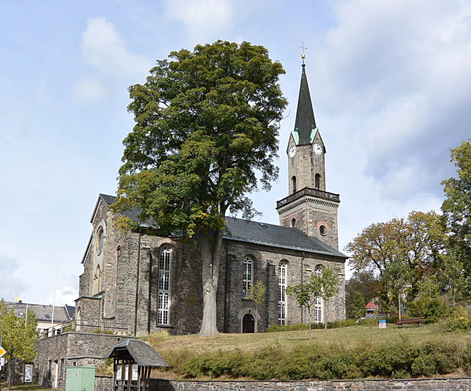
MarkneukirchenTownThe starting point of the route, Markneukirchen, is renowned for its musical heritage and masterful craftsmanship in instrument-making.
4 km
4 km
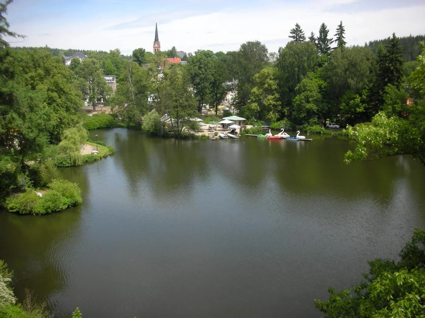
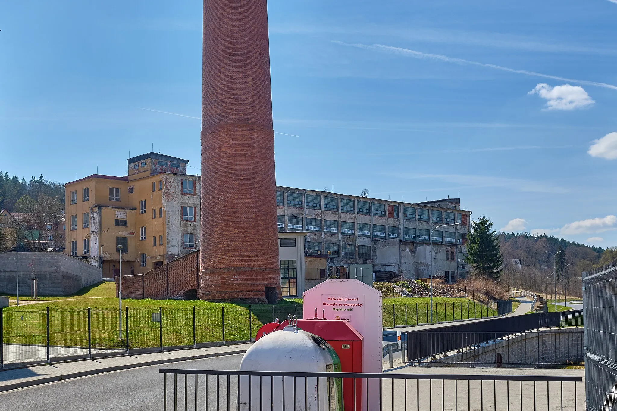
Rauner Hammer591 mPeakRauner Hammer, 4 kilometers into the route, is a traditional hammer mill that showcases the region's historical industrial heritage.
18 km
18 km
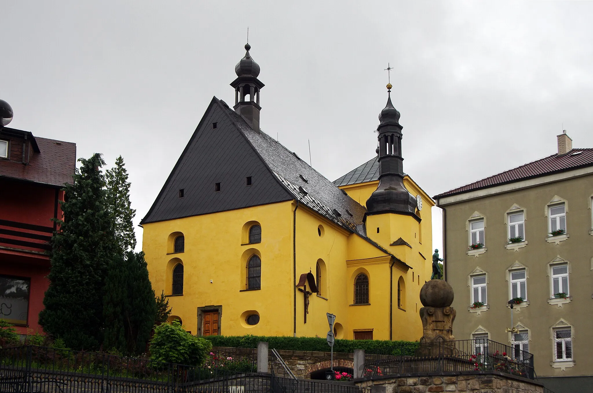
AšTownAš, located at 18 kilometers into the route, is a Czech town offering architectural beauty and historical charm.
22 km
22 km
Štítarský vrch716 mPeakŠtítarský vrch, at 22 kilometers into the route, provides stunning views and a peaceful atmosphere for a break.
30 km
30 km
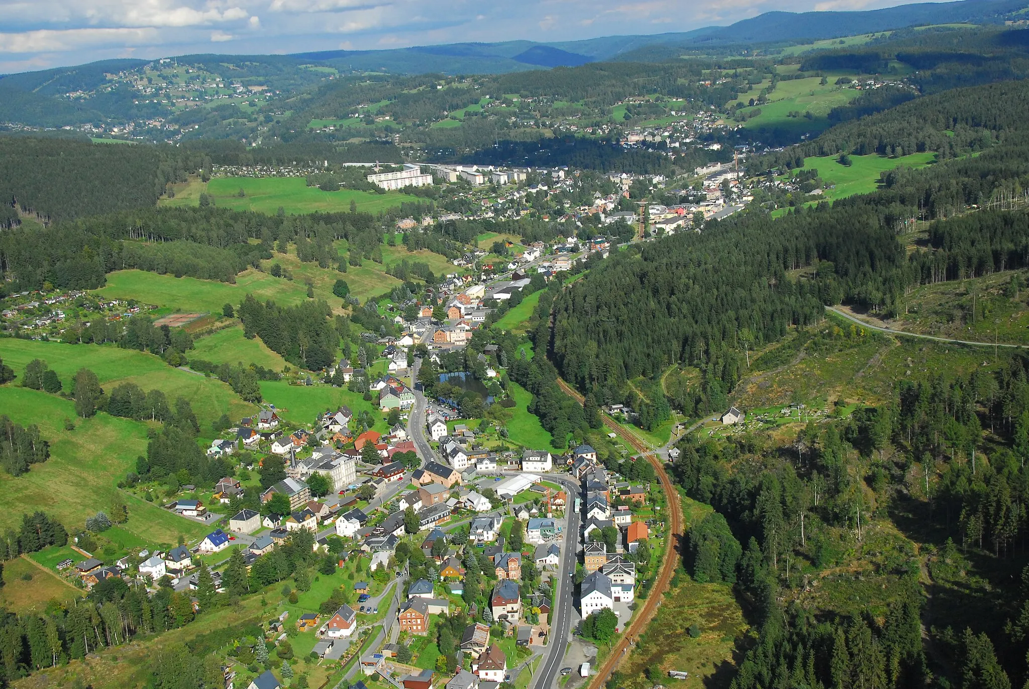
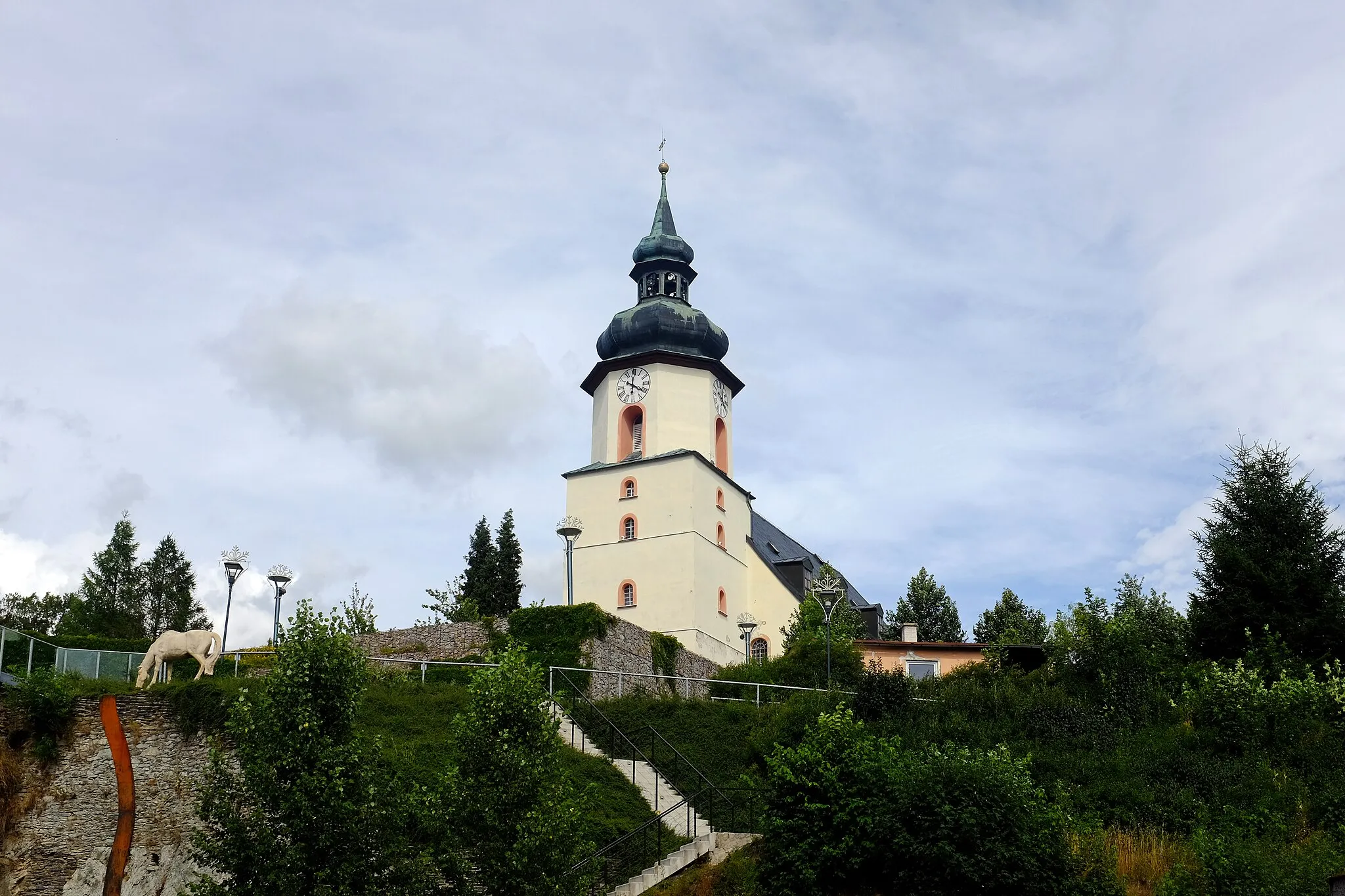
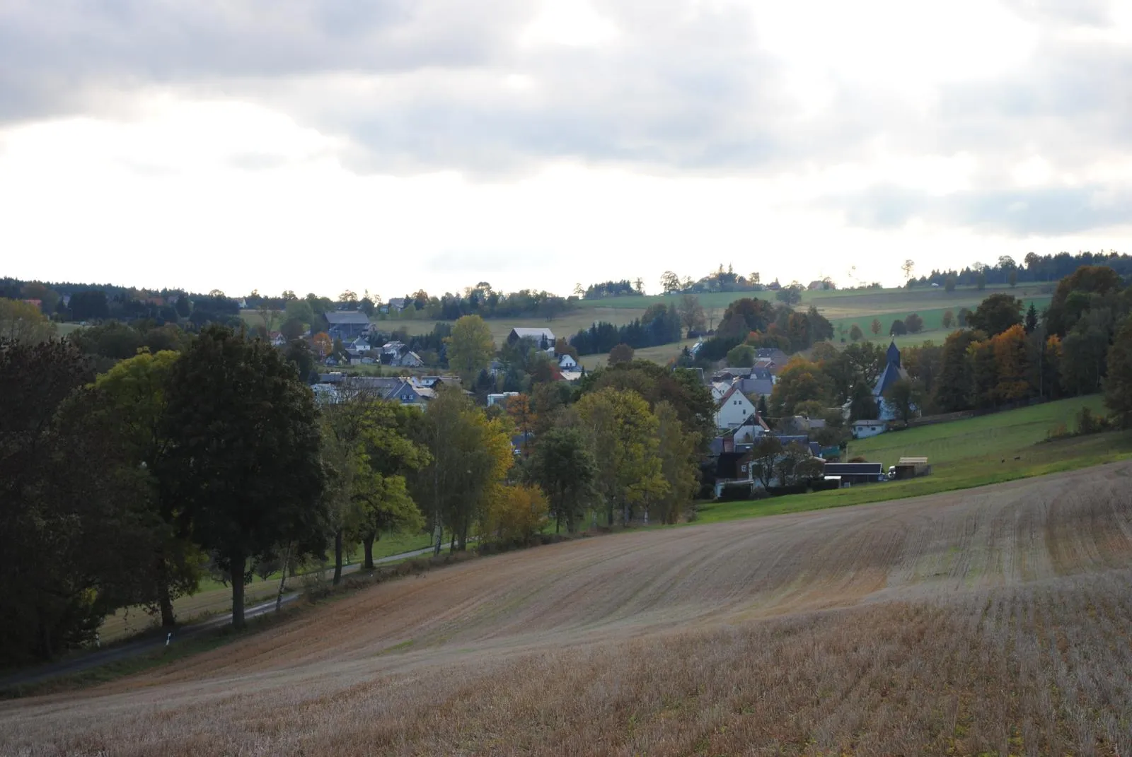
RehauTownRehau, situated at 30 kilometers into the route, captivates visitors with its well-preserved architecture and serene surroundings.
38 km
38 km
OberkotzauVillageOberkotzau, at 38 kilometers into the route, showcases a perfect blend of history and natural beauty.
68 km
68 km
EbersbachVillageEbersbach, at 68 kilometers into the route, invites you to explore its picturesque streets and charming ambiance.
80 km
80 km
Galgenberg566 mPeakGalgenberg, located at the end of the route, offers magnificent panoramic views over the entire region and the opportunity for reflection.
88 km
88 km
Finish: Markneukirchen City centerMarkneukirchen: Cycling Paradise in Chemnitz
Cycling routes from Markneukirchen:
Luby Loop Cycling Route Markneukirchen Circular Road Route Scenic Gravel Ride: Wohlbach and Hammerbrücke Götzenberg Loop Road Ride Klingenthal to Tříslová Gravel Adventure Gravel Adventure: Bad Brambach and Silberbach Chemnitz - Neualbenreuth Cycling Route Markneukirchen to Erlbach Gravel Ride Markneukirchen to Adorf/Vogtland Road Tour Markneukirchen to Kraslice Gravel Cycling Route Wirtsberg and Františkovy Lázně Gravel Cycling Route Wirtsberg and Doubrava Castle Gravel Cycling Route
Cycling routes nearby: