From Niederfrohna to Mühlau
A road cycling route starting from Niederfrohna
A picturesque road cycling route with stunning highlights
Map
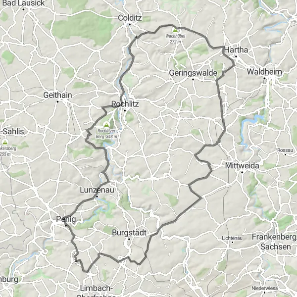
This cycling route will take you from Niederfrohna to Mühlau, covering a distance of 92 kilometers with a challenging ascent of 914 meters. Along the way, you will experience breathtaking scenery and notable highlights that will leave a lasting impression. The difficulty level of this route is moderate, suitable for well-trained amateur cyclists.
road
92 km
914 m
Tough
Route profile
Highlights on the route
0 km
0 km
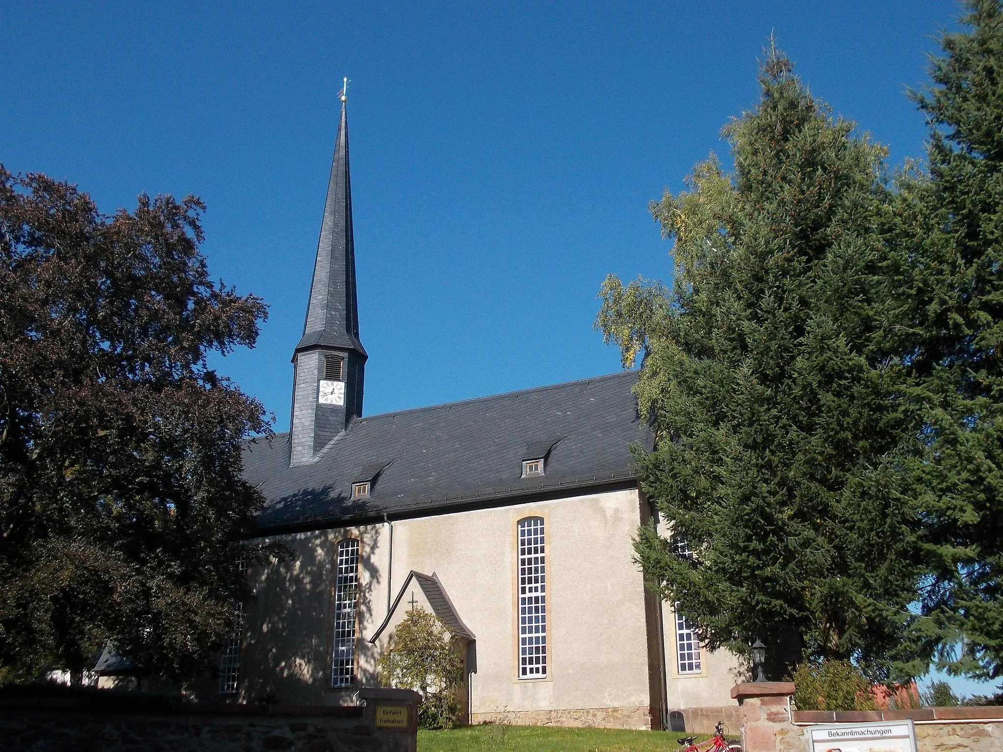
Start: Niederfrohna Village centerNiederfrohna: Scenic rides through the countryside of Niederfrohna
Niederfrohna, located in the Chemnitz region of Germany, offers decent cycling opportunities for road and gravel cyclists. Cyclists can explore the surrounding countryside and enjoy rolling hills and picturesque landscapes. However, Niederfrohna doesn't have any significant cycling attractions or well-known climbs nearby. Nevertheless, it provides a pleasant environment for cyclists looking for scenic rides and peaceful routes.5 km
5 km
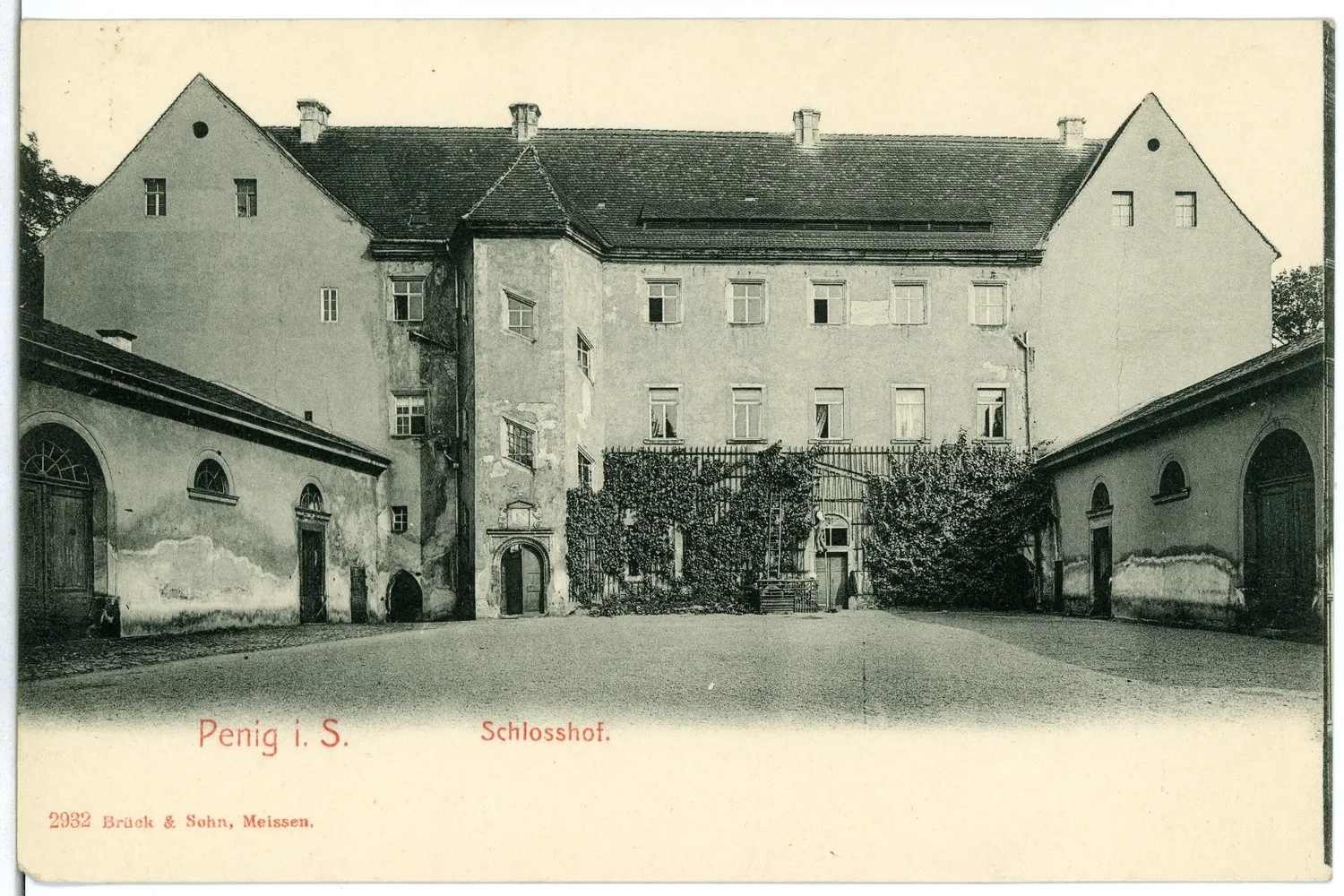
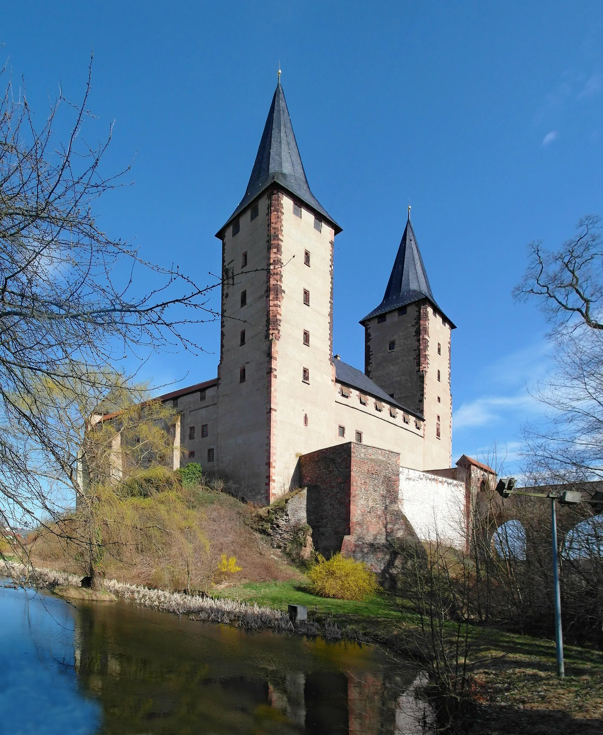
PenigTownStop by Penig, a charming town known for its well-preserved medieval castle and beautiful historic buildings.
14 km
14 km
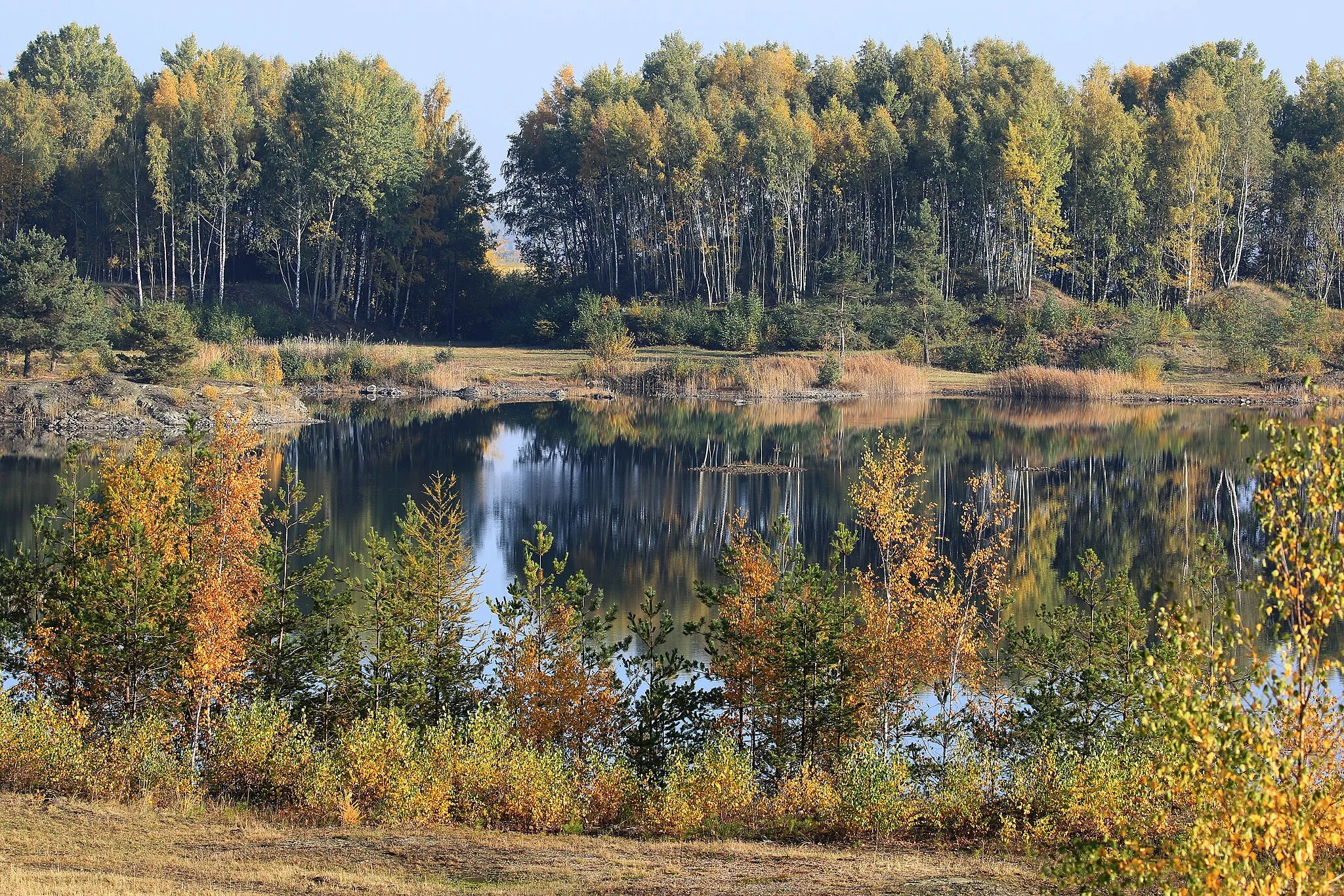
Bornberg229 mPeakBornberg offers a scenic viewpoint where you can enjoy panoramic views of the surrounding countryside.
27 km
27 km
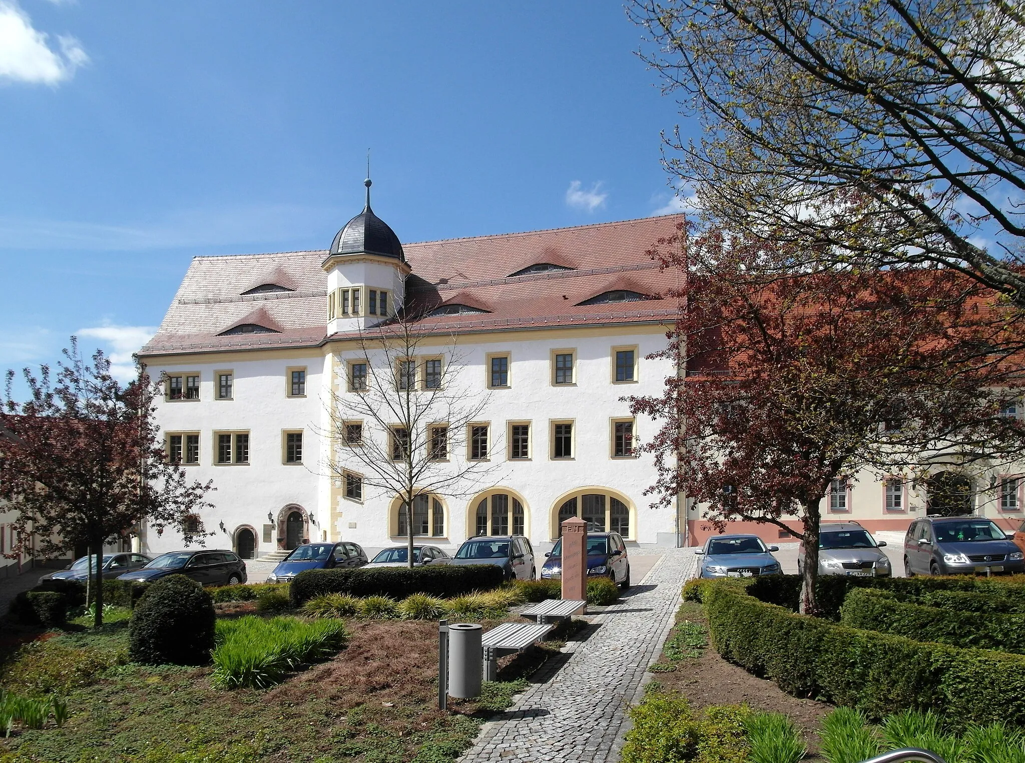
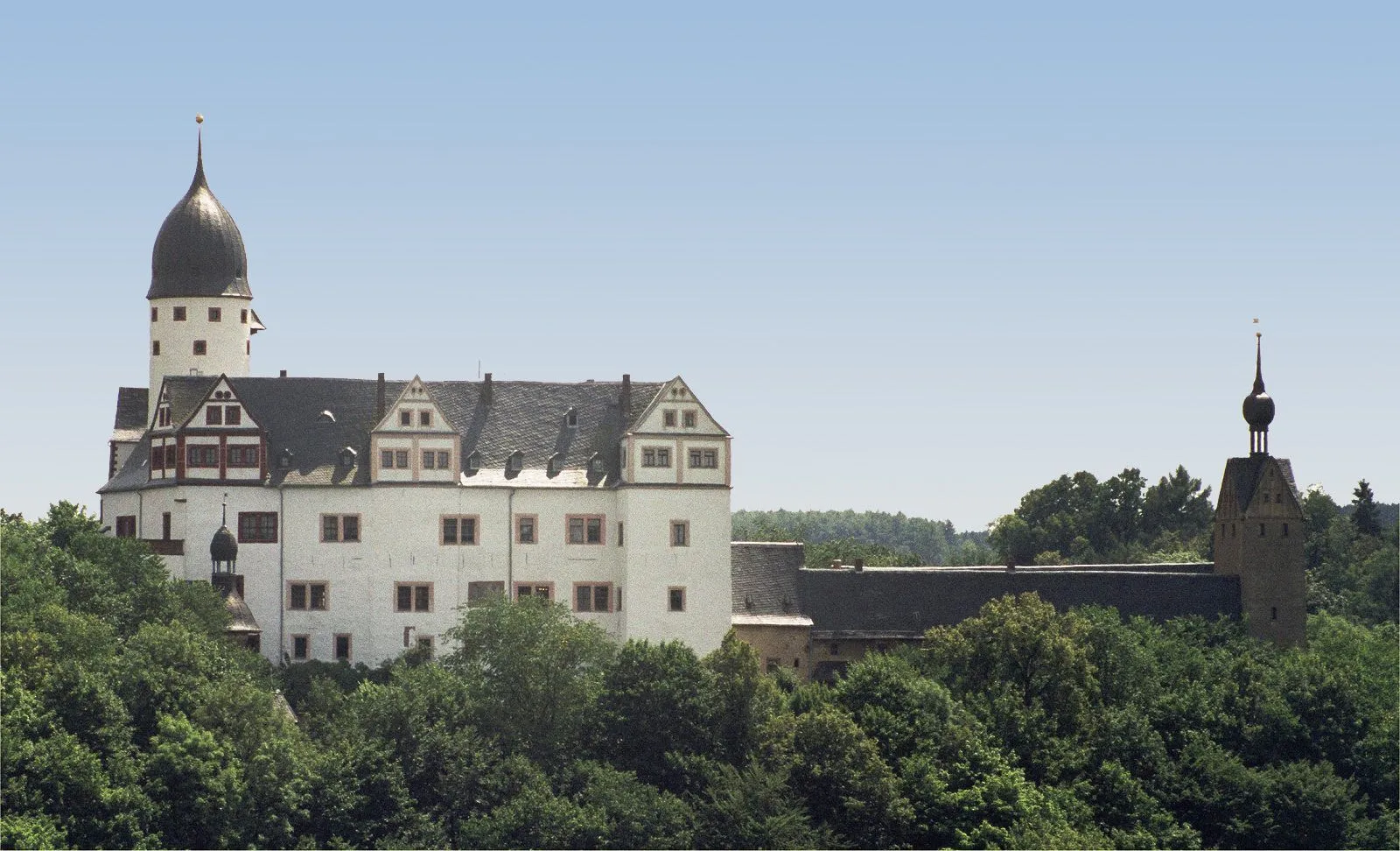
RochlitzTownRochlitz is home to a magnificent castle with impressive architectural features, worth a visit during your cycling journey.
33 km
33 km
Goldberg225 mPeakGoldberg is a picturesque village rich in Renaissance and Baroque architecture, a hidden gem waiting to be discovered.
47 km
47 km
Harthaer Kreuz325 mPeakHarthaer Kreuz is a crossroads with historical significance, showcasing the old trading routes of the region.
56 km
56 km
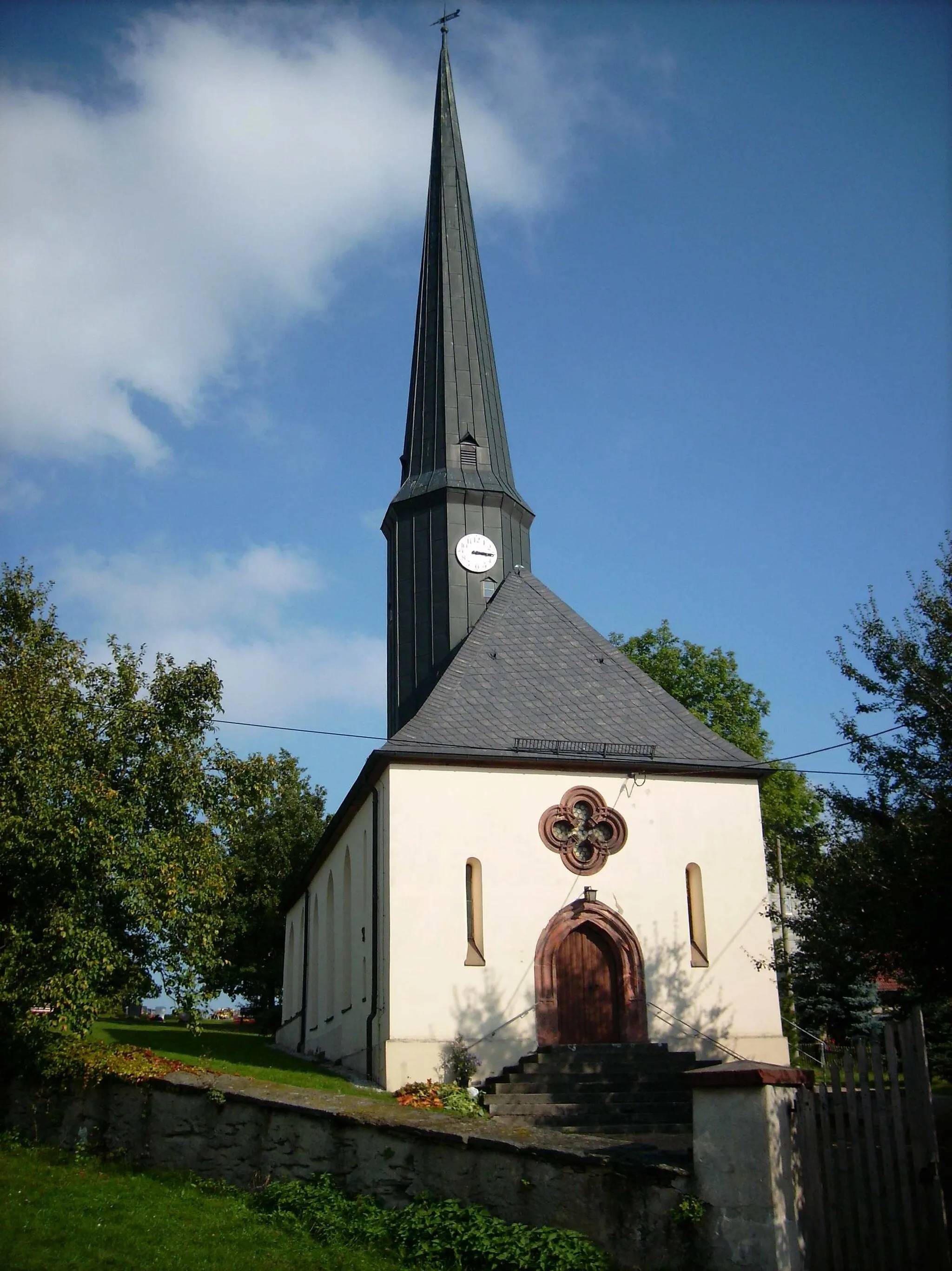
SchweikershainVillageSchweikershain is known for its beautiful half-timbered houses and the idyllic countryside surrounding it.
75 km
75 km
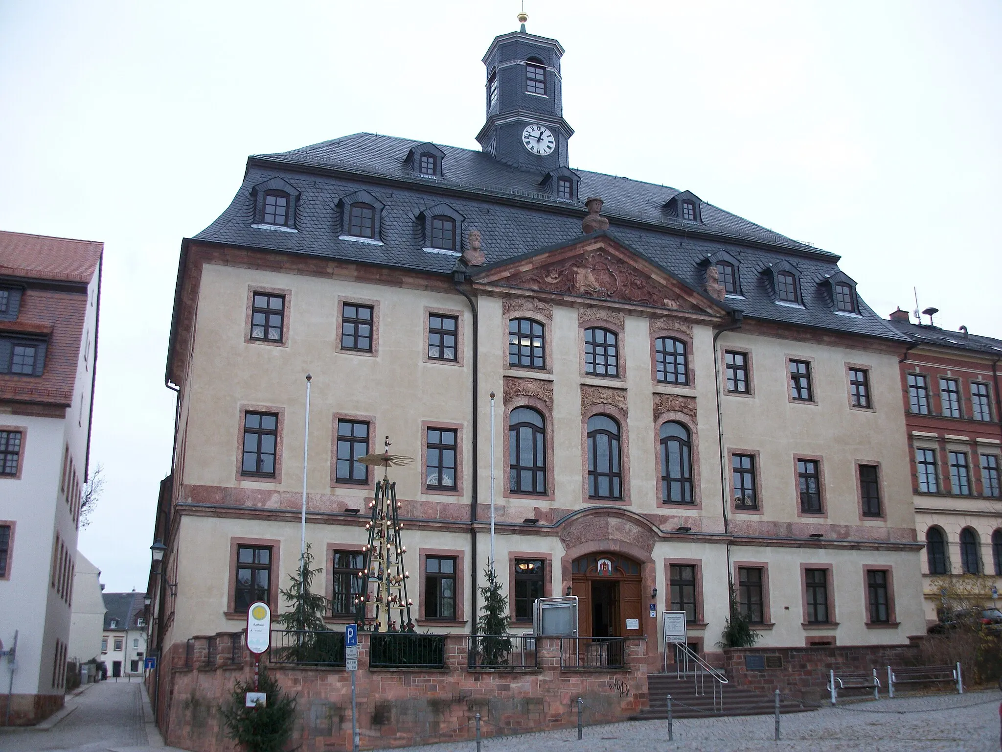
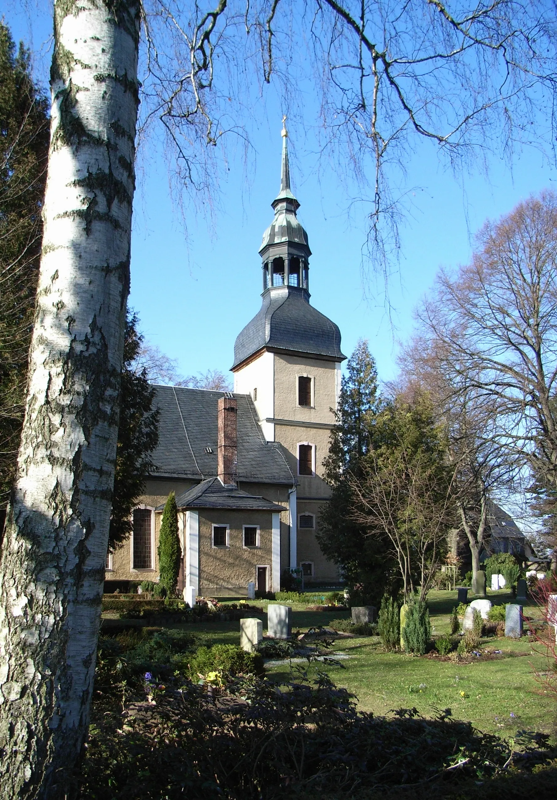
ClaußnitzVillageClaußnitz is a charming village with traditional German architecture, offering a delightful cultural experience.
78 km
78 km
SchusterkanapeeViewpointMake a stop at Schusterkanapee, a unique monument symbolizing the history of shoemaking in the region.
85 km
85 km
Himmelsberg326 mPeakHimmelsberg is a hilltop viewpoint that offers stunning vistas of the surrounding landscapes, perfect for a photo opportunity.
87 km
87 km
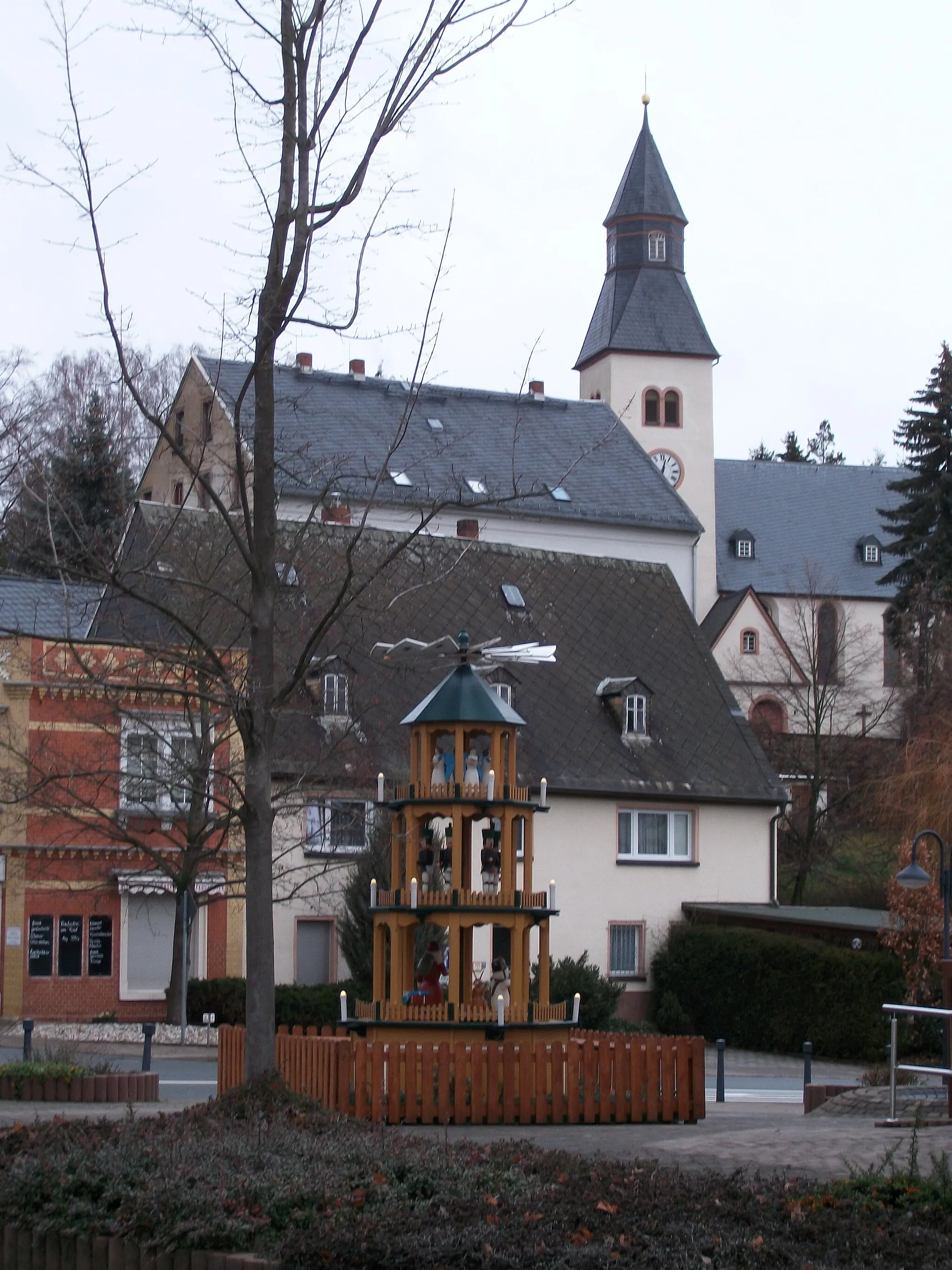
MühlauVillageMühlau is a historic town known for its well-preserved medieval buildings and vibrant cultural scene.
92 km
92 km
Finish: Niederfrohna Village centerNiederfrohna: Scenic rides through the countryside of Niederfrohna
Cycling routes from Niederfrohna:
Cycling routes nearby: