The Marienberg Loop
A road cycling route starting from Pockau
A scenic ride through the Ore Mountains in Germany
Map

The Marienberg Loop offers beautiful views of the Ore Mountains in Germany. With a distance of 74 km and an ascent of 1472 m, this road cycling route is perfect for experienced riders. The route takes you through picturesque towns and villages, including Marienberg, Krähenhübel, and Börnichen. Along the way, you'll also pass by stunning natural highlights like the Klaffenbacher Höhe and Götzhöhe. The Marienberg Loop is a challenging but rewarding cycling adventure for those looking to explore the beauty of the Ore Mountains.
road
74 km
1472 m
Tough
Route profile
Highlights on the route
0 km
0 km
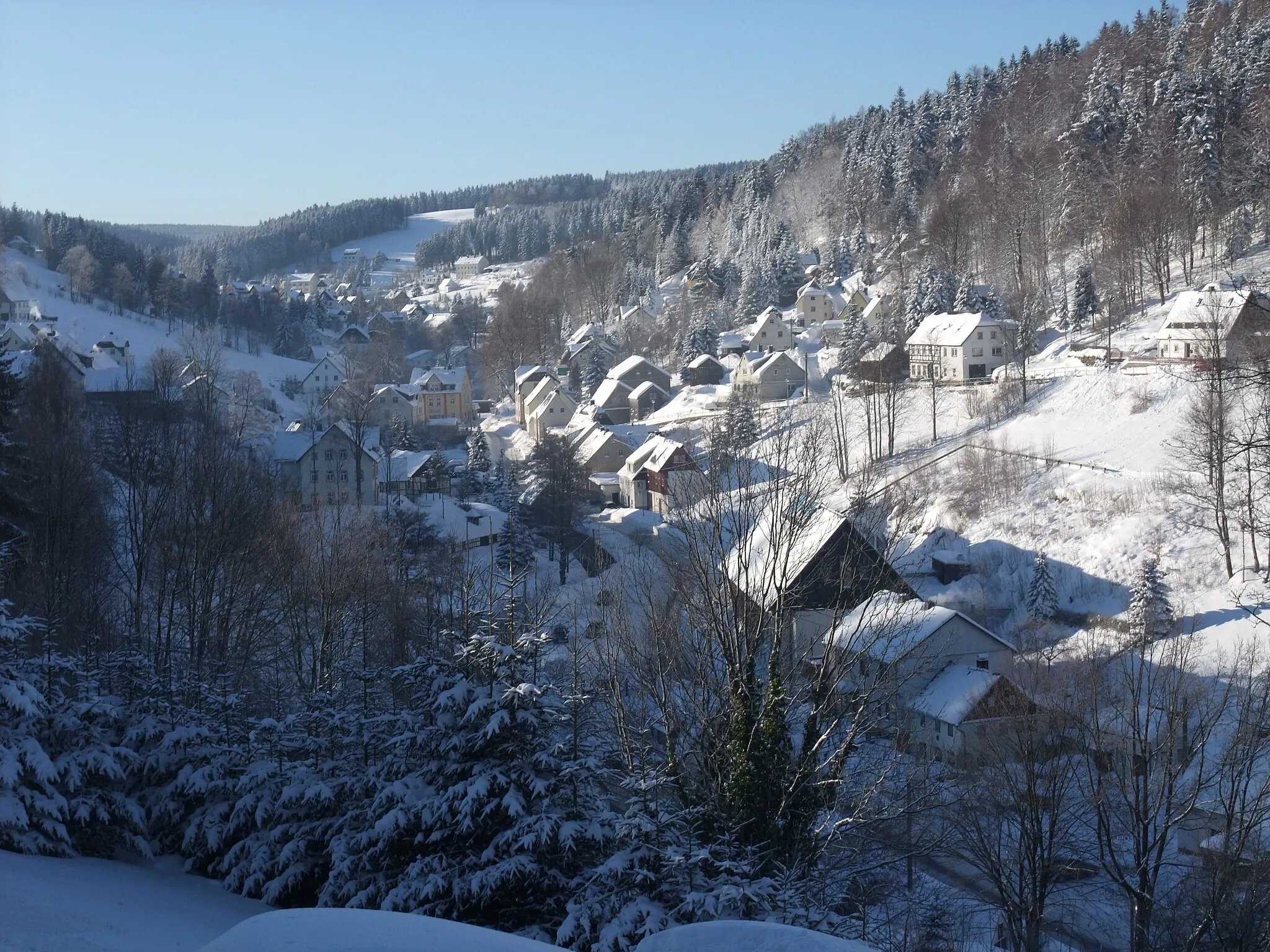
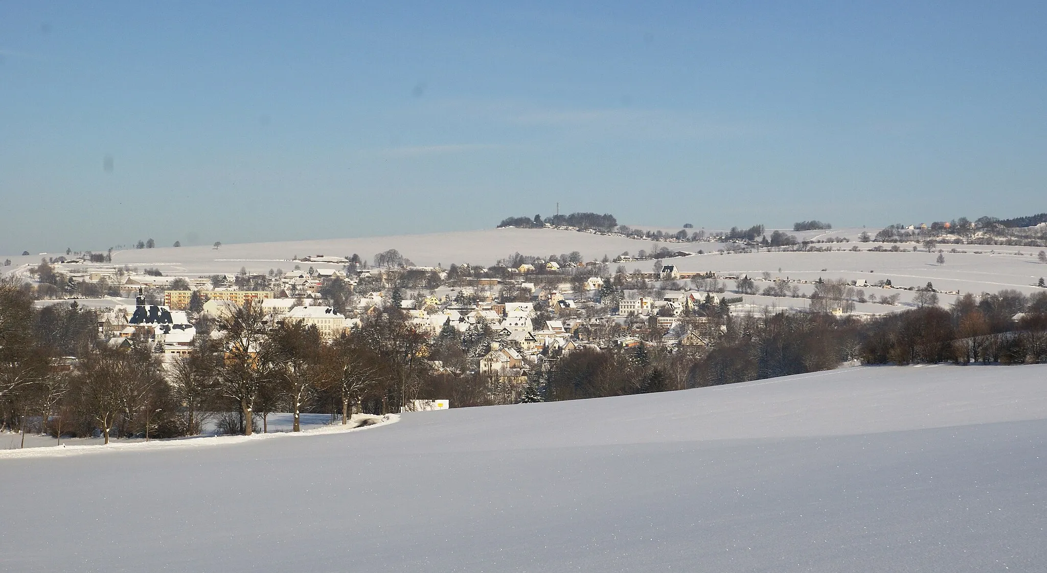
Start: Pockau Village centerPockau: Exploring beautiful forests, picturesque villages, and traditional crafts in Pockau, Germany.
Pockau is a locality in Chemnitz, Germany. Pockau offers a diversity of cycling routes suitable for both road and gravel cyclists. The area provides a mix of flat terrains, rolling hills, and challenging climbs, accommodating riders of various skill levels. Cyclists can enjoy scenic routes through beautiful forests and picturesque villages. Pockau is known for its well-maintained cycling paths and cycling-friendly infrastructure, ensuring a pleasant riding experience. Nearby, cyclists can also explore the charming town of Seiffen, famous for its traditional wooden toys and Christmas decorations.9 km
9 km
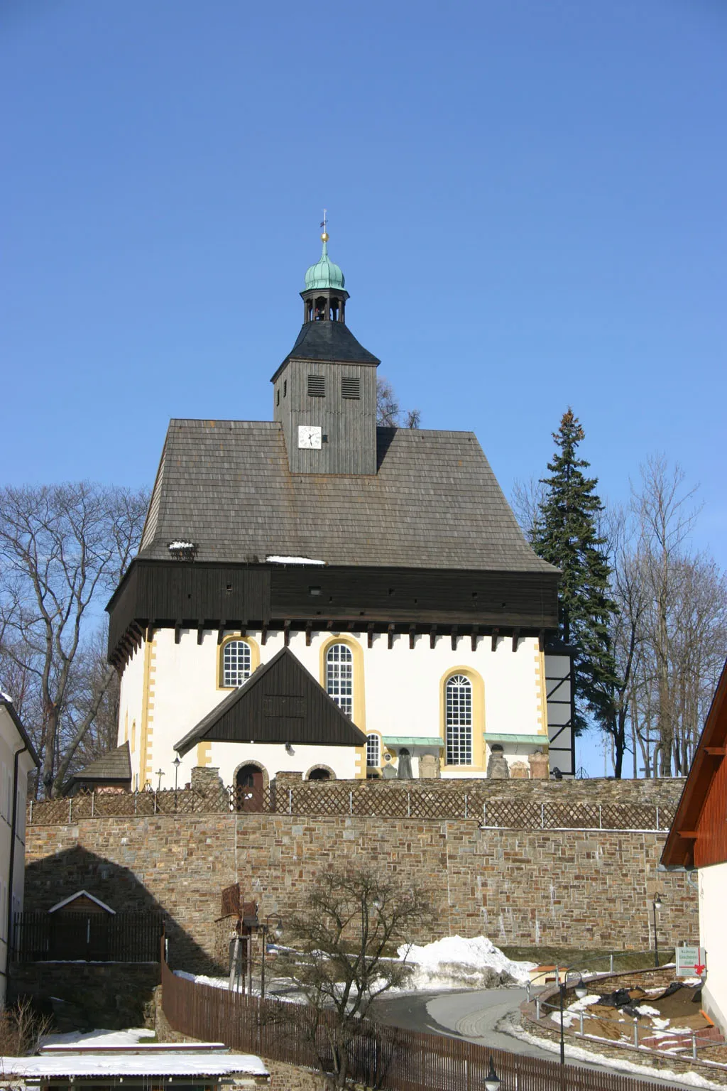
MarienbergTownMarienberg is a historic town with a rich mining heritage. Take a break and explore its charming streets.
15 km
15 km
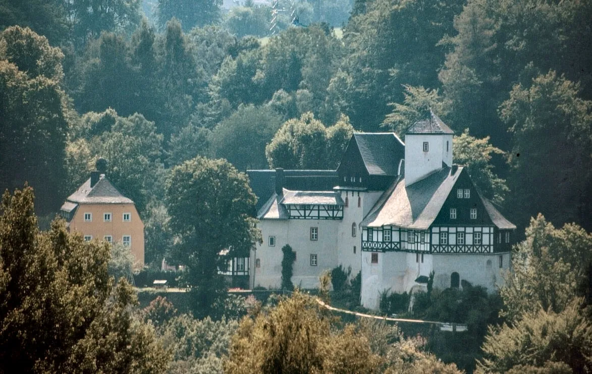
Krähenhübel575 mPeakKrähenhübel is a small village known for its beautiful views. Stop here to rest and enjoy the scenery.
24 km
24 km
Franzenshöhe703 mPeakFranzenshöhe is a popular viewpoint with panoramic views of the surrounding mountains. Don't miss this stunning highlight.
27 km
27 km
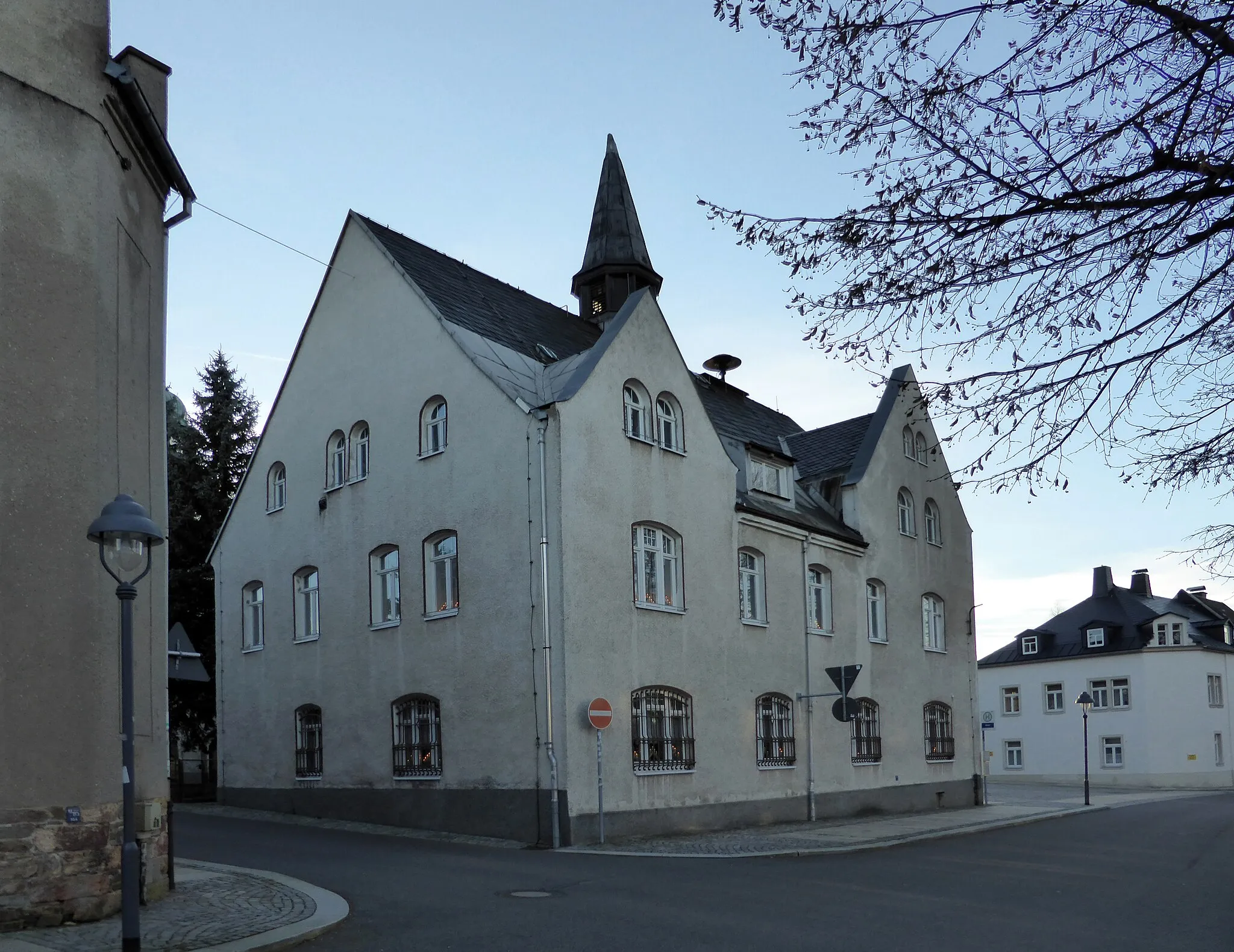
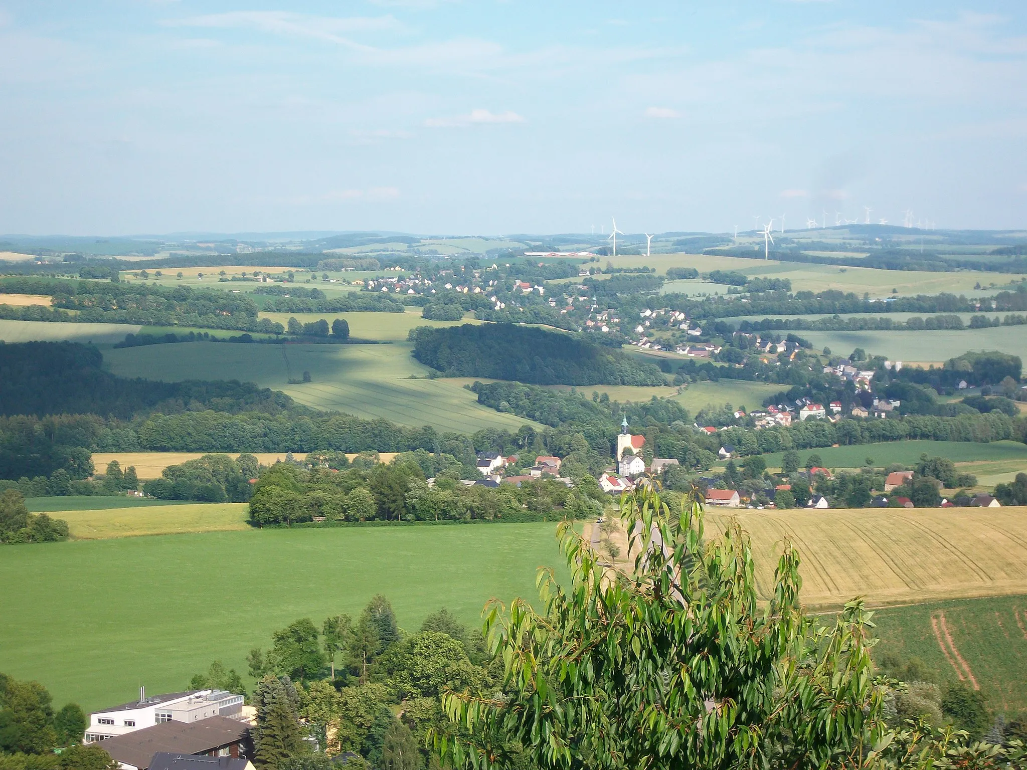
EhrenfriedersdorfTownEhrenfriedersdorf is a quaint town with well-preserved architecture. Take a moment to explore its historic center.
37 km
37 km
GornsdorfVillageGornsdorf is a small village surrounded by forests. Enjoy the peacefulness of this idyllic countryside.
44 km
44 km
Klaffenbacher Höhe523 mPeakKlaffenbacher Höhe is the highest point of the route with breathtaking views. Take a break and take in the scenery.
58 km
58 km
Götzhöhe493 mPeakGötzhöhe is a hill with wonderful views of the surrounding landscape. Rest here and recharge before continuing your journey.
64 km
64 km
BörnichenVillageBörnichen is a charming village with traditional half-timbered houses. Explore the village and soak in its peaceful atmosphere.
71 km
71 km
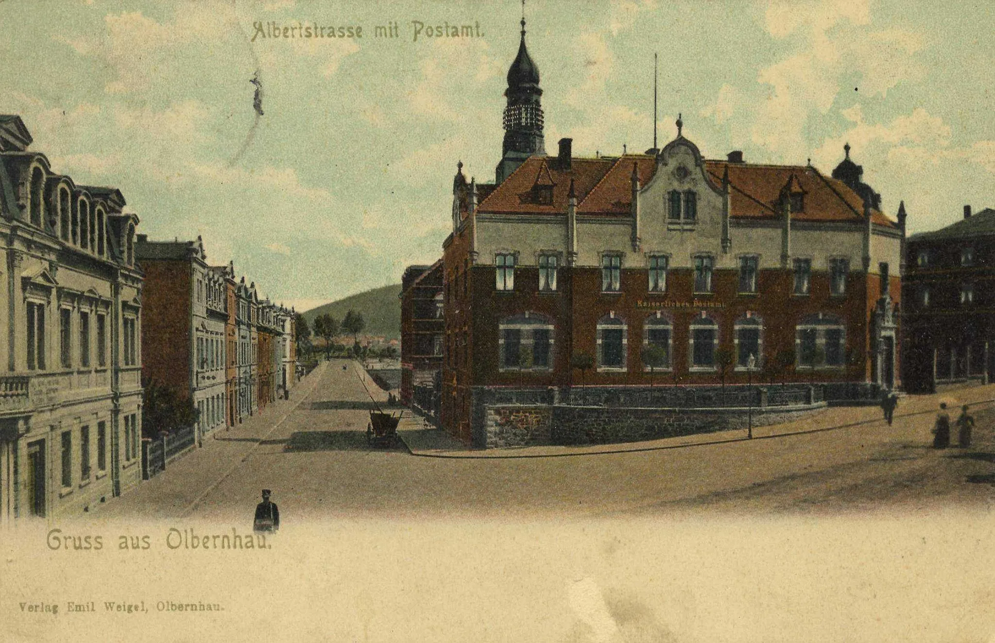
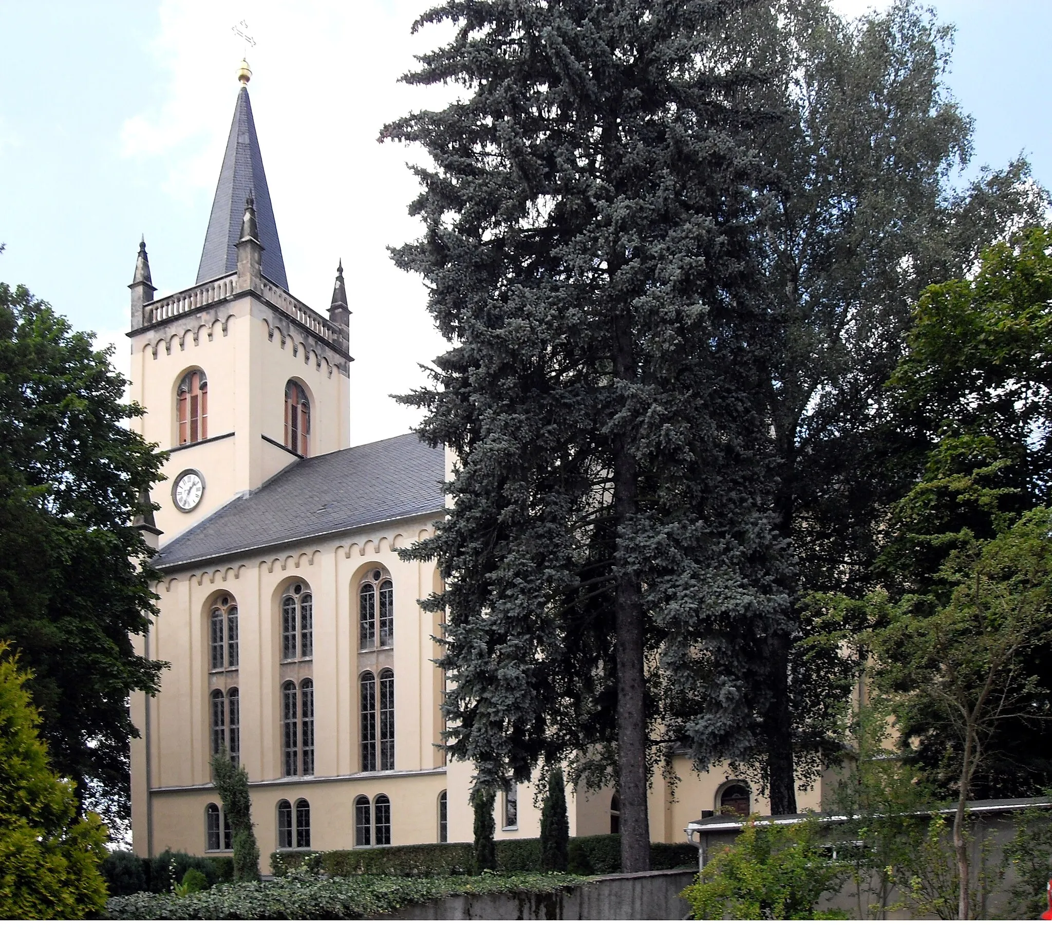
LengefeldTownLengefeld is a picturesque town with well-preserved historic buildings. Discover its cultural heritage.
72 km
72 km
Hammelberg515 mPeakHammelberg is a small hill overlooking the countryside. Pause here and admire the beauty of the natural surroundings.
74 km
74 km
Finish: Pockau Village centerPockau: Exploring beautiful forests, picturesque villages, and traditional crafts in Pockau, Germany.
Cycling routes from Pockau:
Road Cycling Route from Pockau to Marienberg Road Cycling Route from Pockau to Dorfchemnitz Gravel Cycling Route from Pockau to Burg Rauenstein Road Cycling Route from Pockau to Thalheim/Erzgebirge Gravel Cycling Route from Pockau to Hohenstein The Marienberg Loop Gornsdorf Gravel Adventure Scenic Ride to Boleboř Journey through Ore Mountains Steinhübel Road Adventure Erzgebirge Loop Gravel Adventure in Erzgebirge
Cycling routes nearby: