Schönheide Road Cycling Adventure
A road cycling route starting from Schoenheide
Explores the scenic countryside near Schönheide
Map
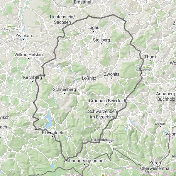
This road cycling route near Schönheide takes you through picturesque landscapes and charming villages. With a challenging ascent of 2,264 meters over a distance of 126 kilometers, it is suitable for experienced cyclists. As you cycle, you'll encounter highlights such as Stützengrün, a small town known for its traditional architecture. The route also passes by Hohndorf, where you can admire the historic buildings and stop for a rest. The highlight Knock offers breathtaking views of the surrounding area.
road
126 km
2264 m
Tough
Route profile
Highlights on the route
0 km
0 km
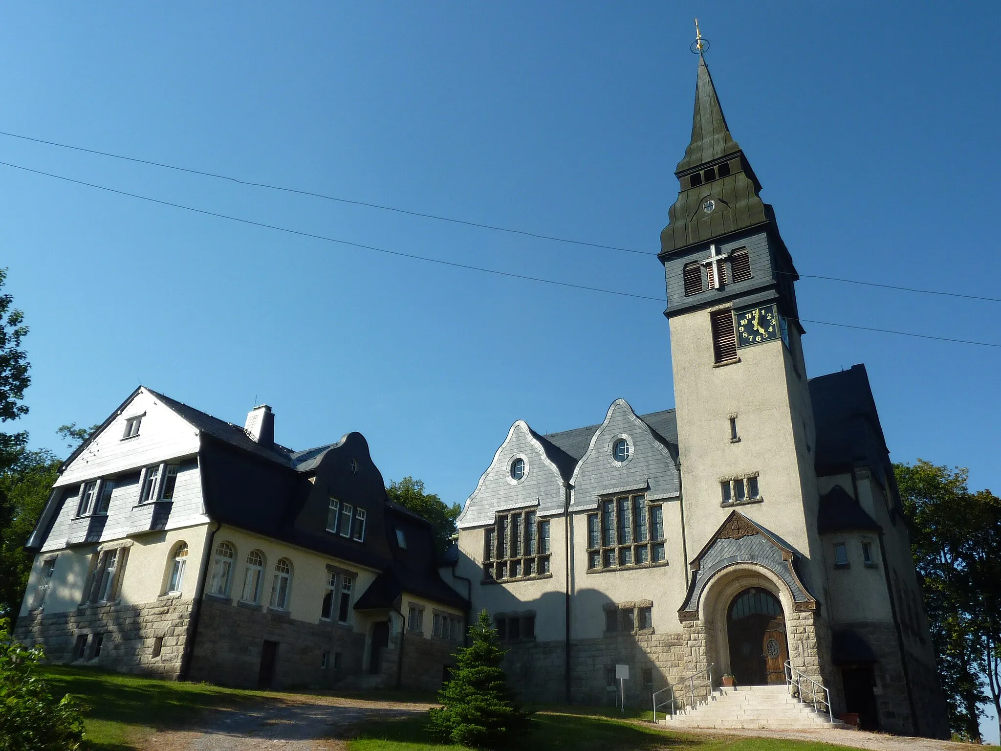
Start: Schönheide Village centerSchönheide: Nature's Calling in Chemnitz
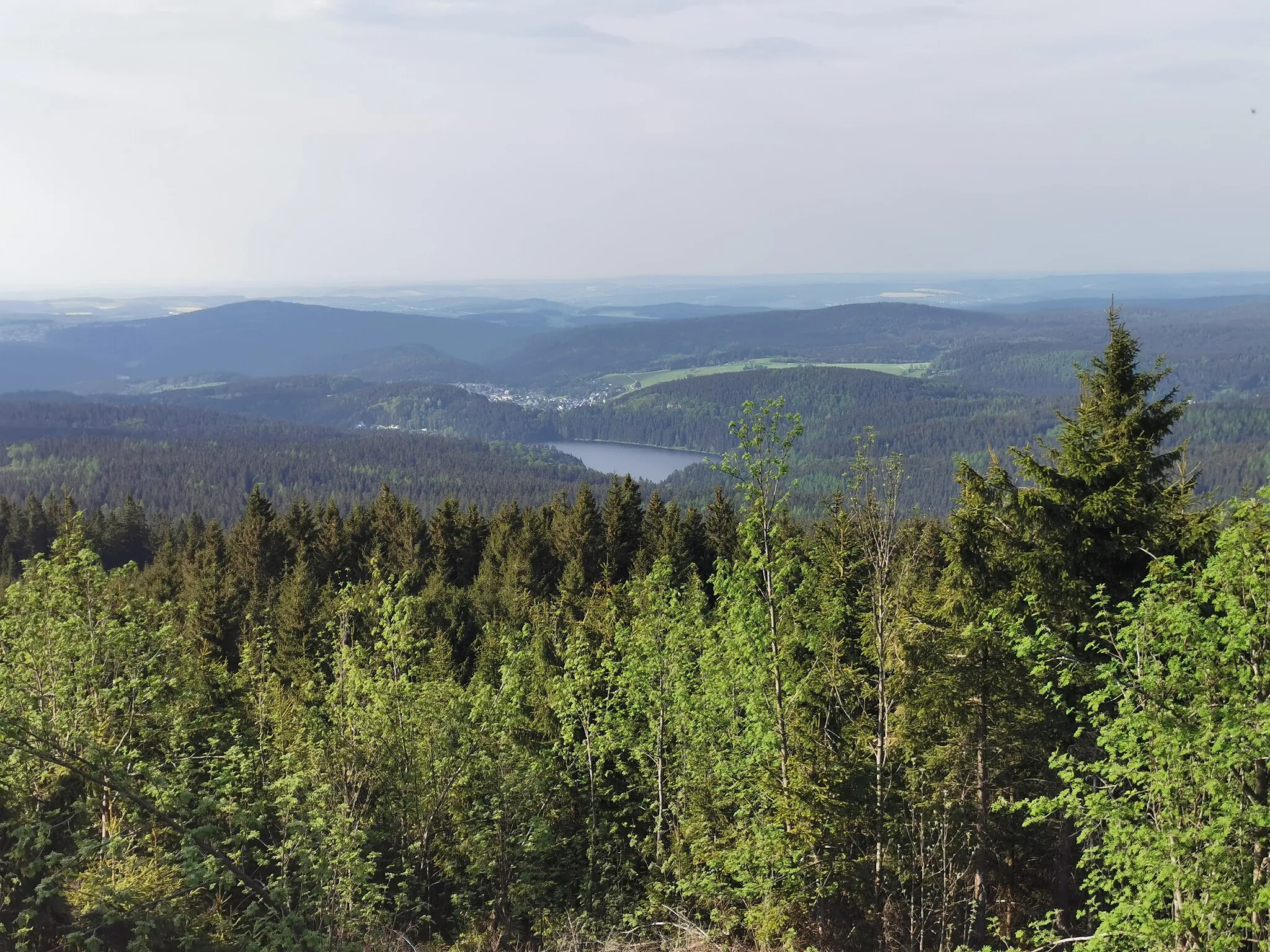
Schönheide in Chemnitz, Germany offers a mix of diverse terrain and scenic beauty, making it a popular destination for road and gravel cyclists alike. The area boasts picturesque routes that wind through lush forests, charming villages, and rolling hills. Cyclists can also explore the Ore Mountains nearby, which feature challenging climbs and stunning vistas. Schönheide provides a perfect blend of nature and adventure for cyclists seeking unique cycling experiences.6 km
6 km
StützengrünVillageLocated in Stützengrün, this highlight showcases the traditional architecture and charm of the town.
10 km
10 km
Knock550 mPeakKnock offers stunning panoramic views of the surrounding landscape, a must-stop for photography enthusiasts.
18 km
18 km
Schützenhöhe438 mPeakSchützenhöhe is a natural lookout point with fantastic views, perfect for a short break and breathtaking photos.
28 km
28 km
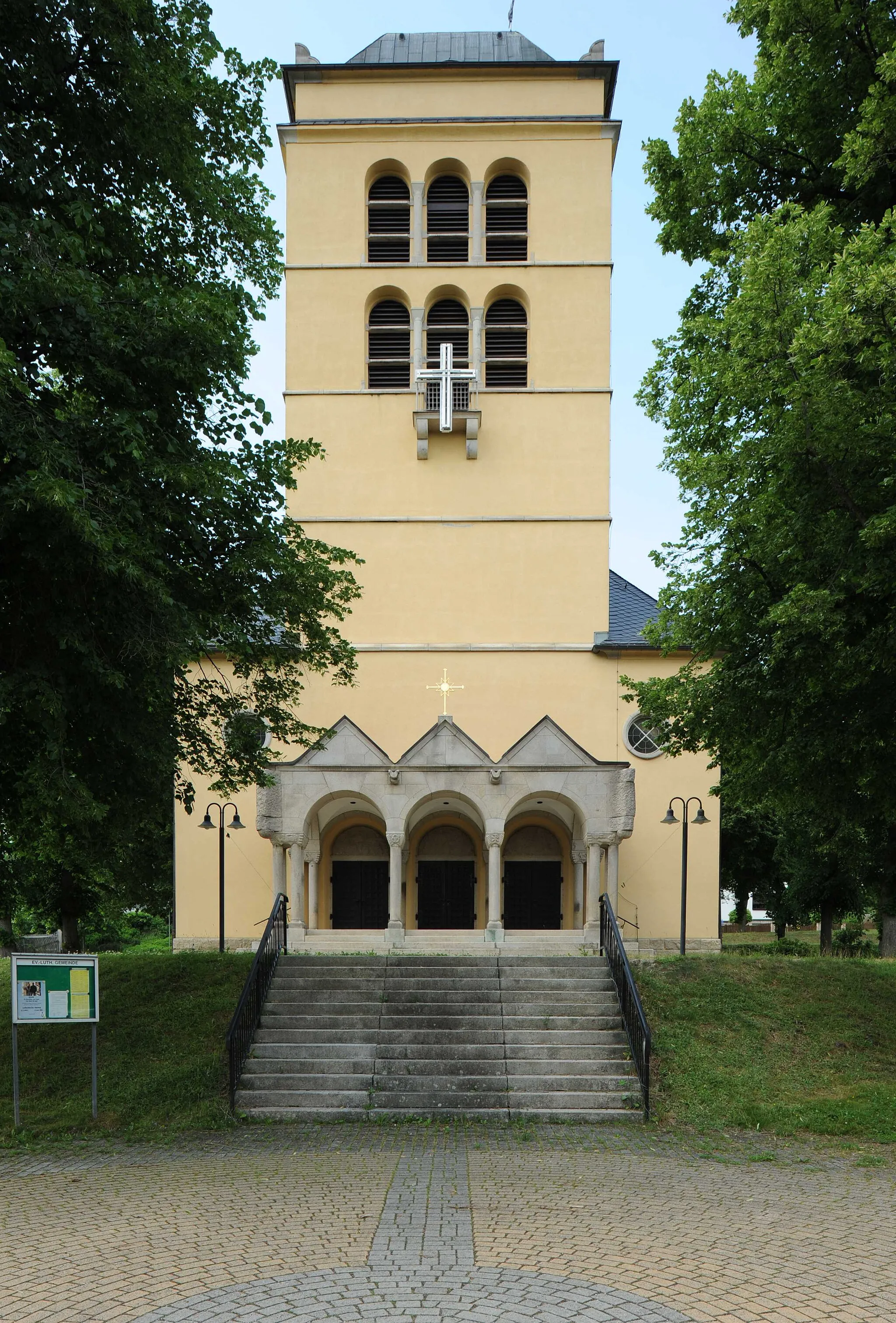
WildenfelsTownWildenfels is known for its beautiful castle and historic buildings, a must-see for history buffs.
41 km
41 km
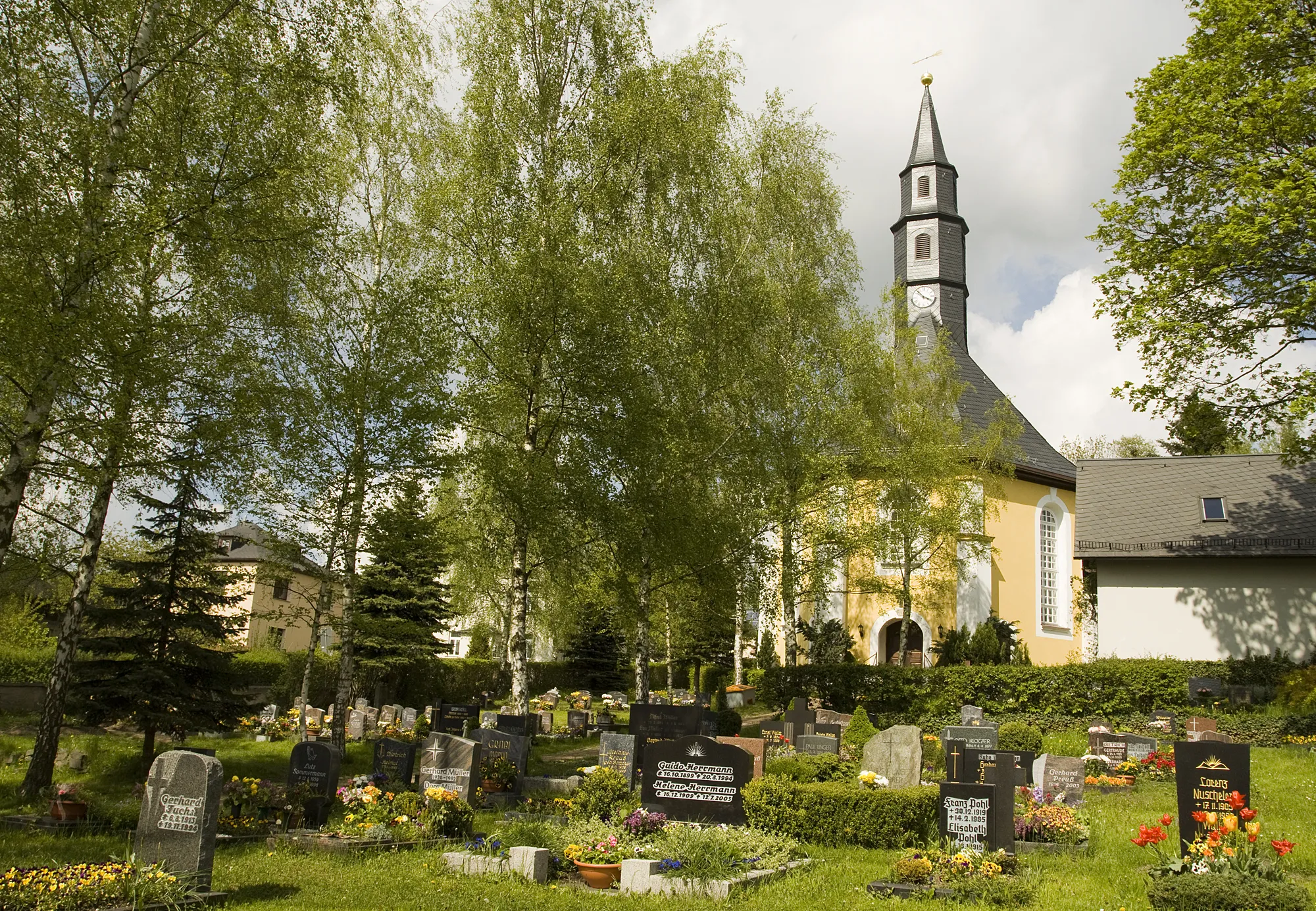
HohndorfVillageHohndorf is a delightful village with well-preserved historic buildings and cozy cafes.
59 km
59 km
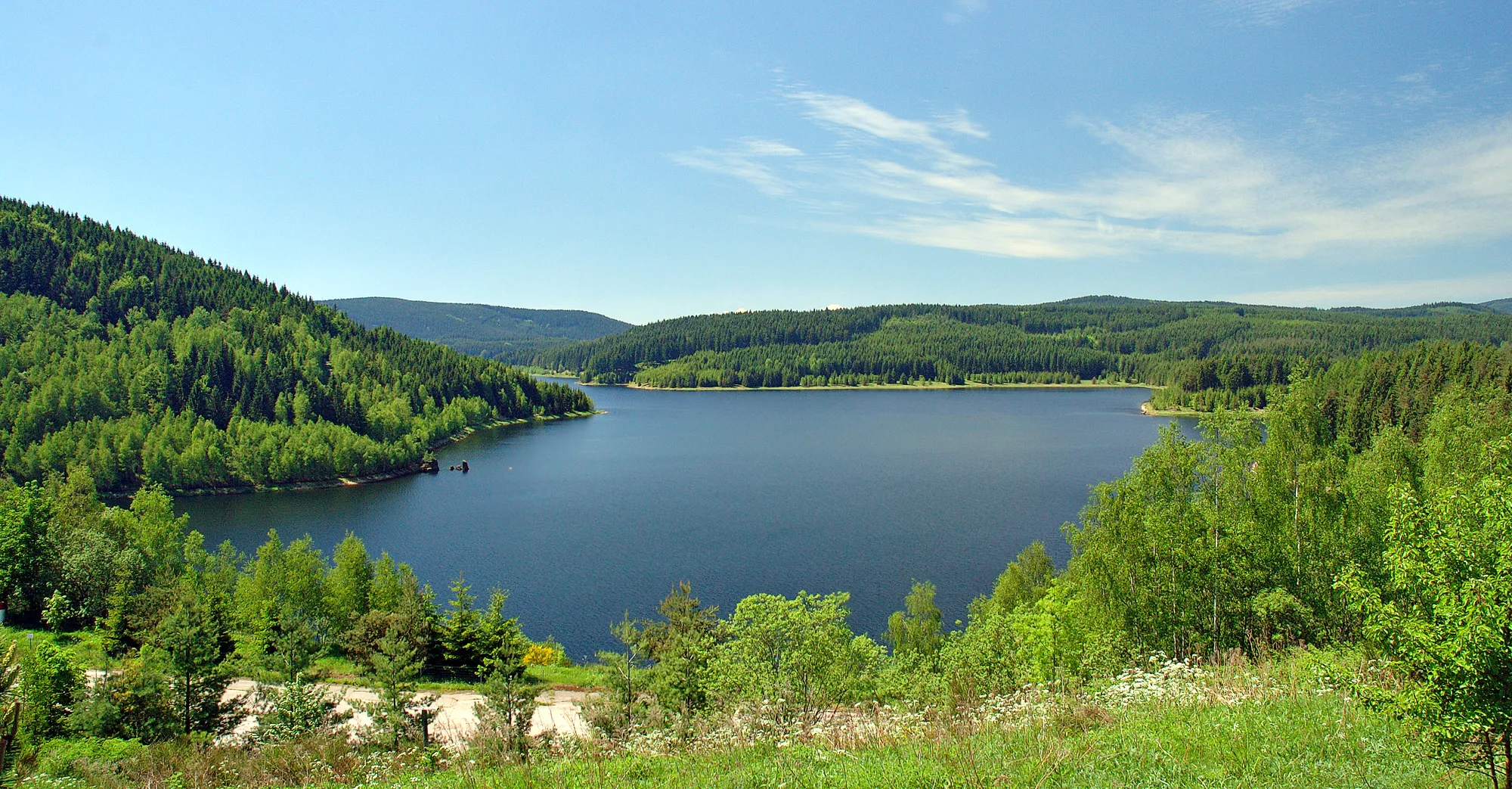
Fichtelberg485 mPeakFichtelberg, located at an altitude of 1,215 meters, offers a challenging climb and rewarding views at the top.
64 km
64 km
GornsdorfVillageGornsdorf is a small village with charming traditional architecture and friendly locals.
72 km
72 km
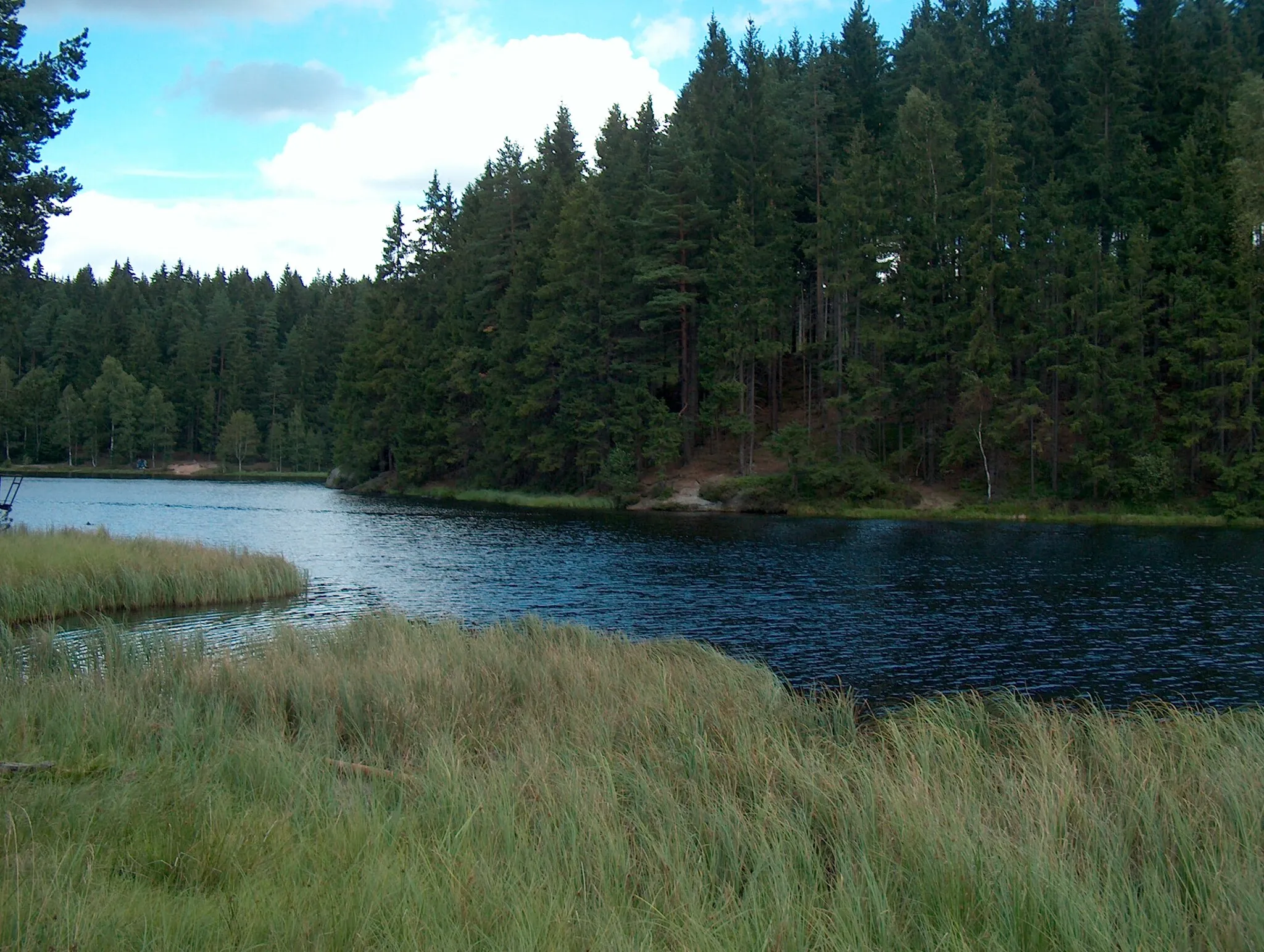
Aussichtsfelsen731 mViewpointAussichtsfelsen provides breathtaking panoramic views of the surrounding landscape, a must-visit for nature lovers.
76 km
76 km
GeyerTownGeyer, a historic town, is known for its beautiful architecture and charming streets.
90 km
90 km
Knochen551 mPeakKnochen offers a peaceful and scenic resting spot with beautiful views of the surrounding countryside.
99 km
99 km
BreitenbrunnVillageBreitenbrunn, a picturesque village, is renowned for its charming atmosphere and well-preserved historic buildings.
112 km
112 km
Leistnerhübel875 mPeakLeistnerhübel is a scenic viewpoint offering panoramic views of the surrounding countryside.
120 km
120 km
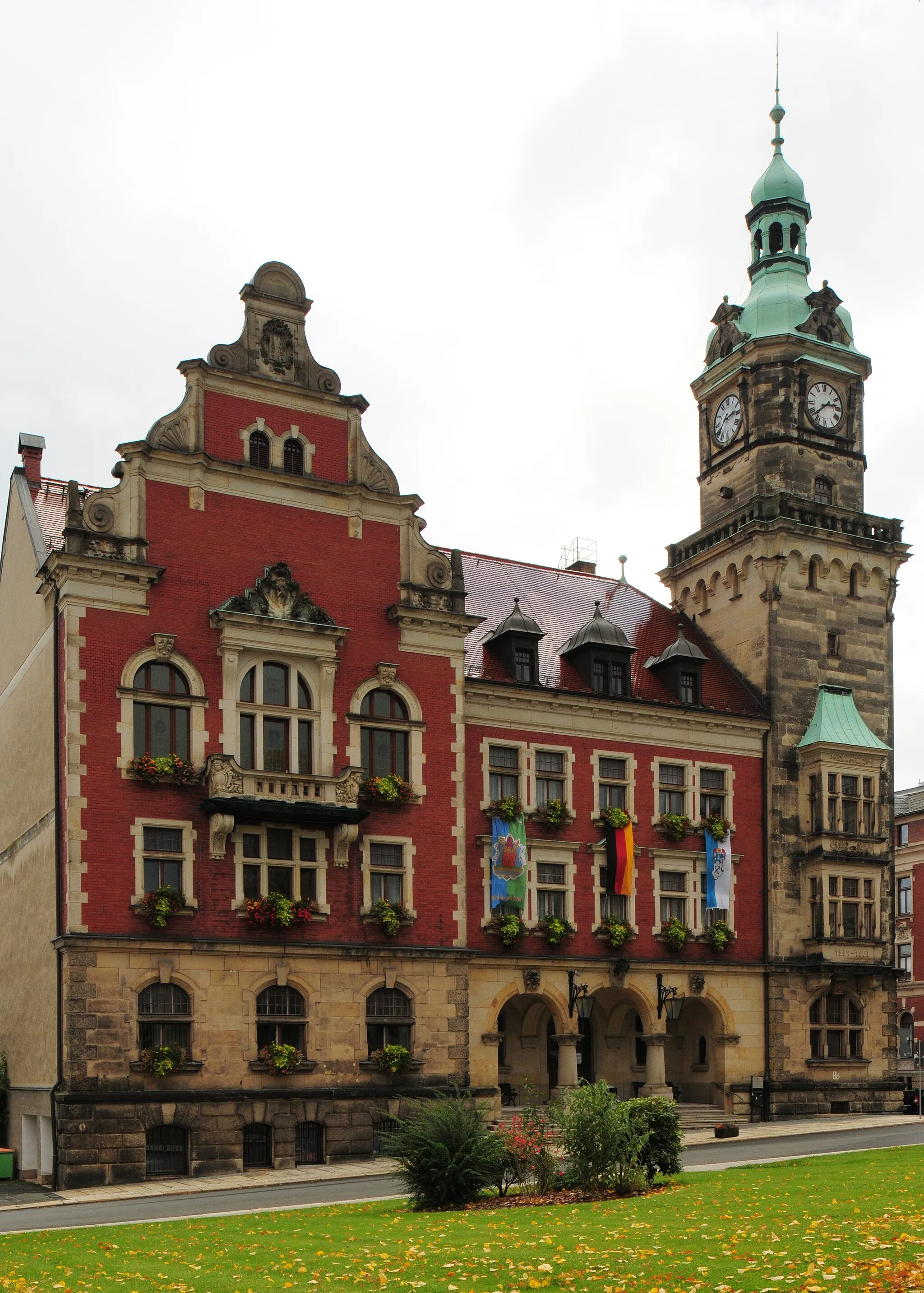
EibenstockTownEibenstock is a charming town with beautiful architecture, inviting cafes, and stunning viewpoints.
126 km
126 km
Finish: Schönheide Village centerSchönheide: Nature's Calling in Chemnitz
Cycling routes from Schoenheide:
Scenic Road Cycling near Schönheide Gravel Freedom in the Vogtland Hills Eibenstock and Beyond Schönheide Road Cycling Adventure Scenic Schönheide Road Adventure Off-road Gravel Adventure in Schönheide Vogtland Gravel Adventure The Vogtland Hills Adventure Exploring the Hidden Gems of Vogtland Adventurous Exploration of the Ore Mountains Schönheide Road Schönheide Gravel
Cycling routes nearby: