Scenic Road Cycling Route Through Taubenberg and Reichenbach
A road cycling route starting from Stutzengrun
Discover the beautiful landscapes of Taubenberg and Reichenbach on this road cycling route
Map
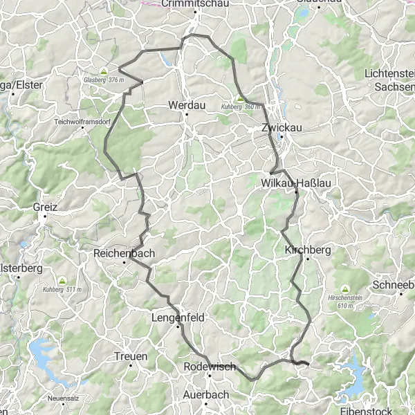
This road cycling route takes you through the picturesque towns of Taubenberg and Reichenbach, offering stunning views of the surrounding landscape. With a total distance of 97 kilometers and an ascent of 1283 meters, it is suitable for well-trained amateurs. The route provides a challenging yet rewarding experience, with several highlights along the way.
road
97 km
1283 m
Tough
Route profile
Highlights on the route
0 km
0 km
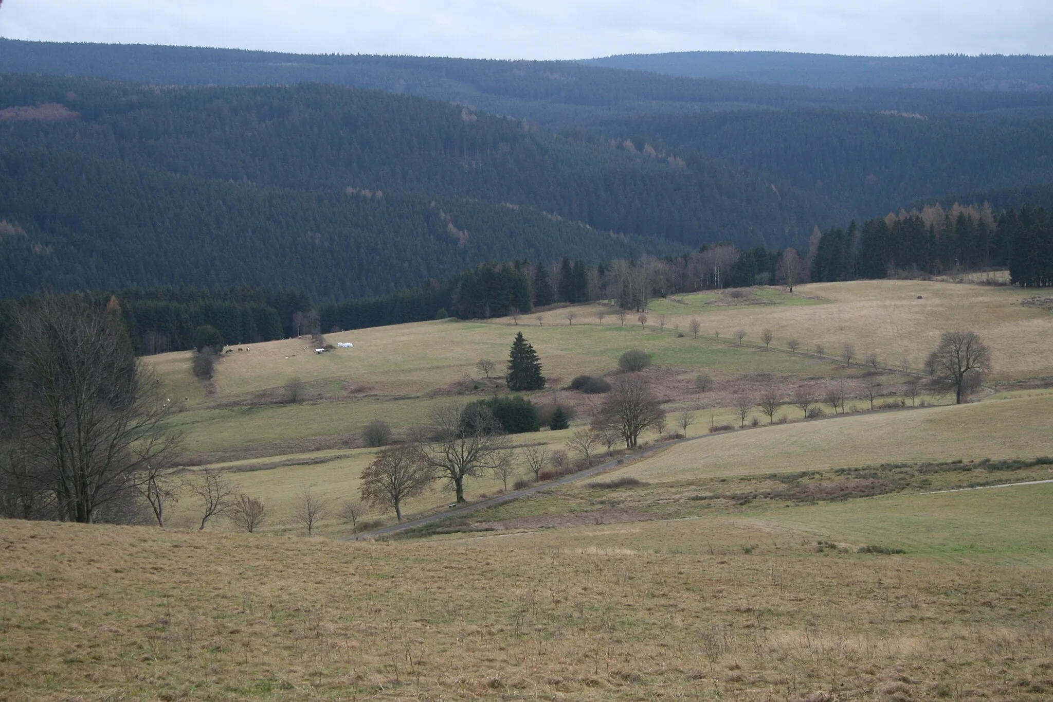
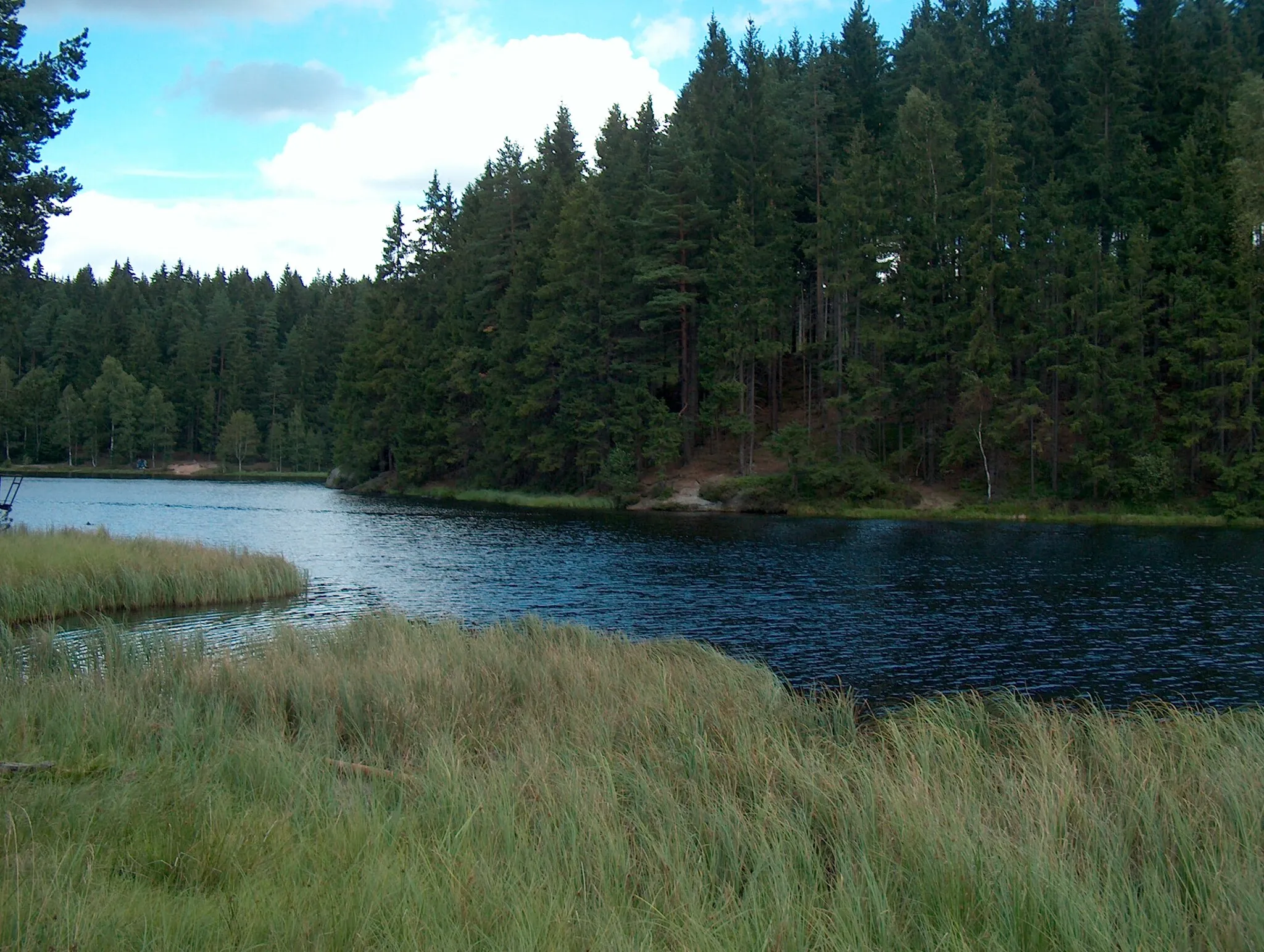
Start: Stützengrün Village centerStützengrün: Cycling through the picturesque landscapes of Stützengrün
Stützengrün is a town located in the Chemnitz region of Germany. It offers various cycling opportunities for road and gravel cyclists. The area is characterized by beautiful landscapes, including forests, rolling hills, and traditional villages. Cyclists can enjoy rides along well-maintained roads with minimal traffic. There are no famous cycling climbs or spots directly in Stützengrün, but the surrounding region has some notable climbs, such as the Fichtelberg, which is the highest peak in the Erzgebirge mountain range. Overall, Stützengrün provides a peaceful and scenic environment for cycling enthusiasts to explore.6 km
6 km
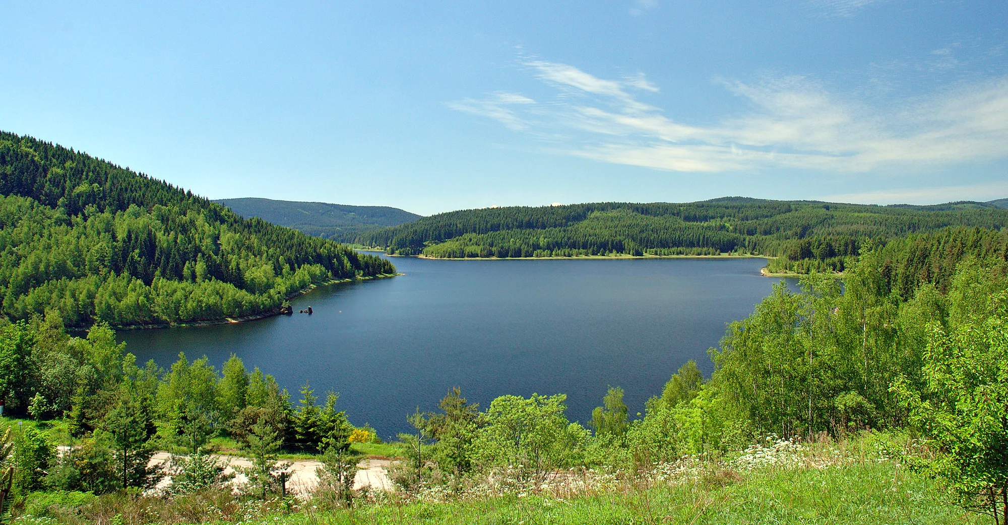
Taubenberg544 mPeakTaubenberg is known for its historic castle and panoramic views over the countryside.
10 km
10 km
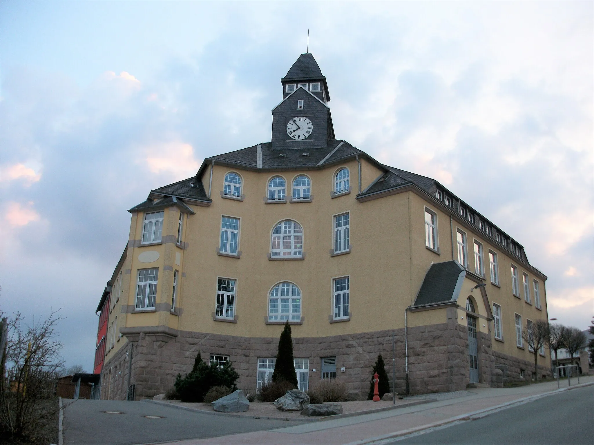
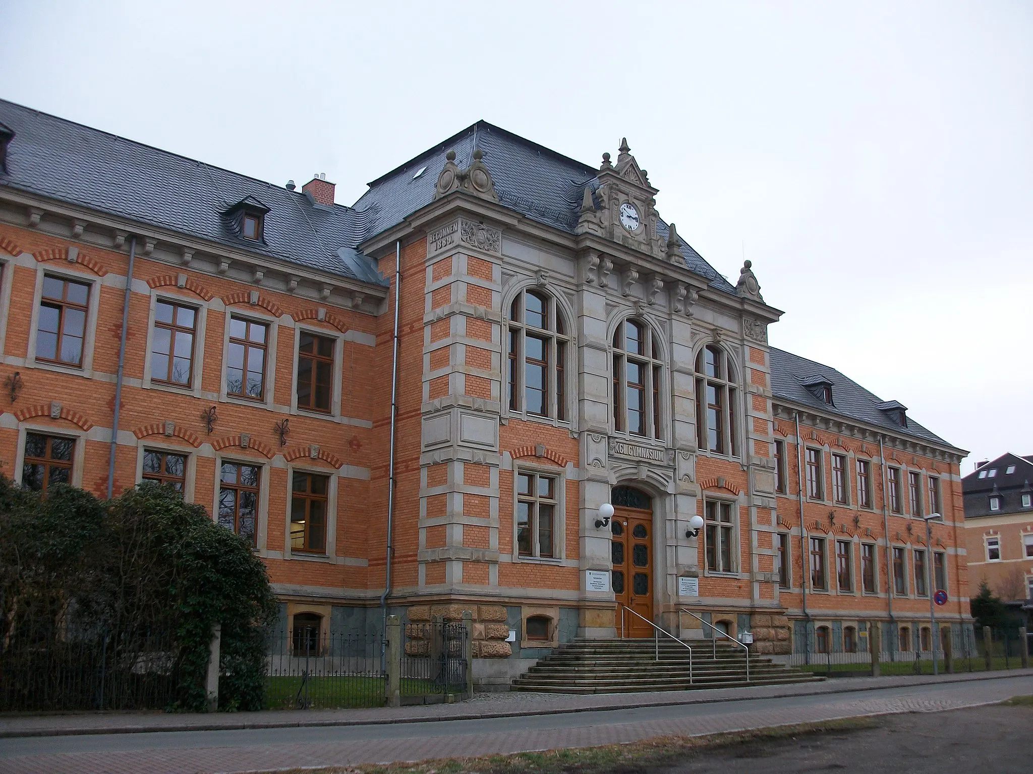
RodewischTownRodewisch features charming architecture and a bustling market square.
24 km
24 km
Zur schönen AussichtViewpointZur schönen Aussicht offers breathtaking views from its viewpoint.
24 km
24 km
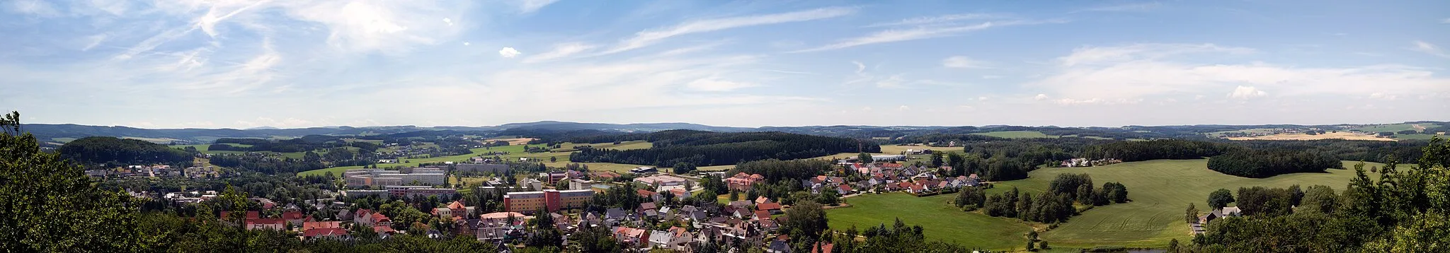
ReichenbachTownReichenbach is famous for its ornate town hall and beautiful gardens.
40 km
40 km
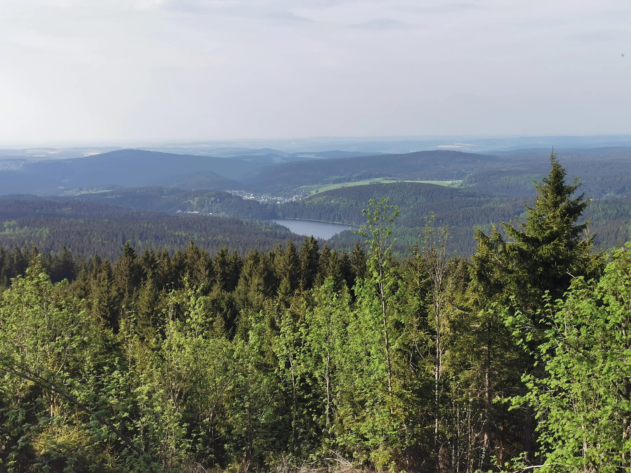
Tischberg394 mPeakTischberg is a popular hiking spot with lush forests and sweeping vistas.
48 km
48 km
OberalbertsdorfHamletOberalbertsdorf is known for its historic church and charming village atmosphere.
55 km
55 km
Tannertsberg295 mPeakTannertsberg is a small but peaceful village with traditional architecture.
56 km
56 km
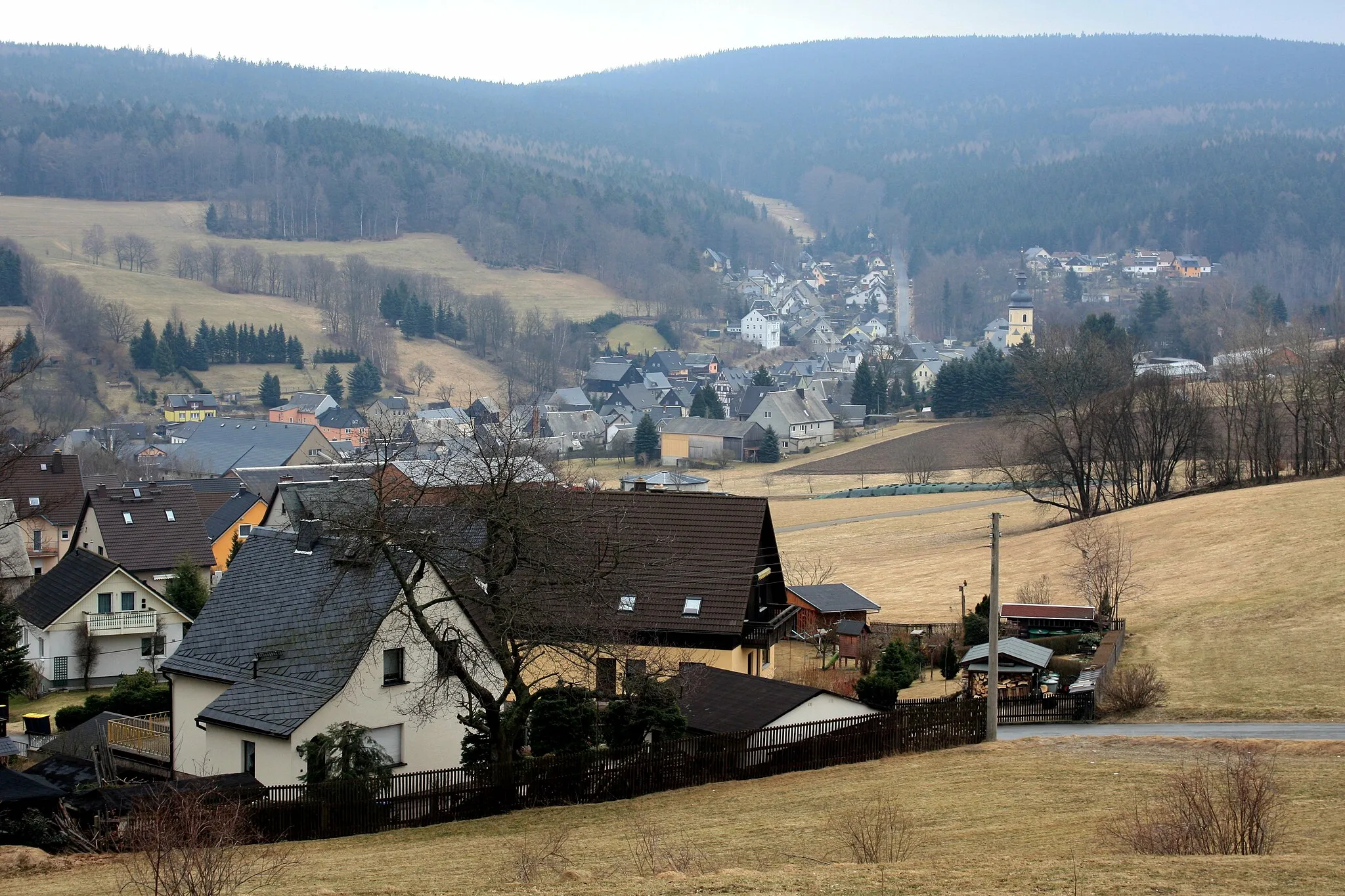
Neukirchen / PleißeVillageNeukirchen / Pleiße offers a chance to explore its historic castle ruins.
76 km
76 km
Wilkau-HaßlauTownWilkau-Haßlau features a picturesque market square surrounded by colorful houses.
79 km
79 km
Culitzscher Höhe391 mPeakCulitzscher Höhe is a popular viewpoint with panoramic vistas of the surrounding countryside.
91 km
91 km
BärenwaldeVillageBärenwalde is a charming village known for its traditional half-timbered houses and friendly locals.
92 km
92 km
Crinitzberg573 mPeakCrinitzberg offers stunning views over the rolling hills and lush meadows.
97 km
97 km
Finish: Stützengrün Village centerStützengrün: Cycling through the picturesque landscapes of Stützengrün
Cycling routes from Stutzengrun:
Weißbach and Zwönitz Gerstenberg and Johanngeorgenstadt Schönheide Loop Crinitzberg and Weißbach Laubberg Loop Erzgebirge Loop Steinberg Explorer Kirchberg and Bad Schlema Eibenstock Adventure Ochsenkopf Challenge Thrilling Gravel Cycling Adventure Through Riedelfelsen and Rozhled Exclusive Gravel Cycling Route Through Klingenthal and Ellefeld Scenic Road Cycling Route Through Taubenberg and Reichenbach Picturesque Road Cycling Route Through Lichtenau and Hirschknochen
Cycling routes nearby: