The Mountain Challenge
A road cycling route starting from Wiesa
Conquer the mountainous terrain on this challenging road cycling route near Wiesa.
Map
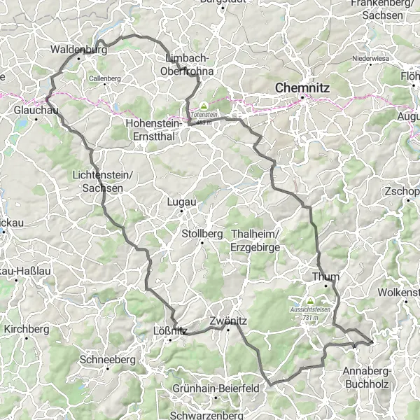
Prepare for an ultimate mountain challenge on this 127-kilometer road cycling route near Wiesa. With a total ascent of 1678 meters, this route is designed for experienced riders seeking a thrilling adventure. Highlights include Gansberg, Elterlein, Kursächsische Postmeilensäule, Pfefferberg, Aussicht vom Schloss, St. Egidien, Hufeisen, Niederwinkel, Beobachtungspunkt Freiflugvoliere, Pleißa, Adorf, Erlberg, Ehrenfriedersdorf, and Friedrich-August-Höhe.
road
127 km
1678 m
Savage
Route profile
Highlights on the route
0 km
0 km
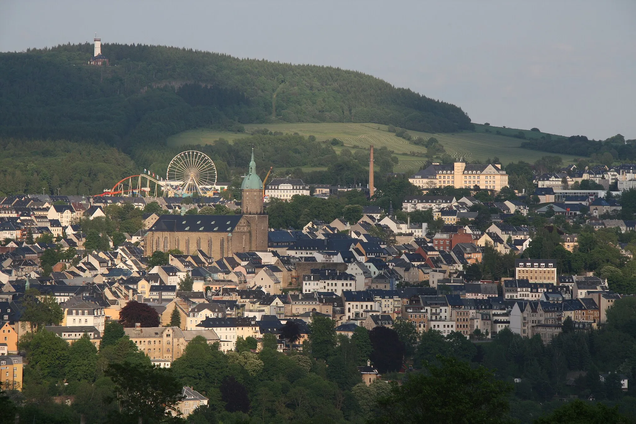
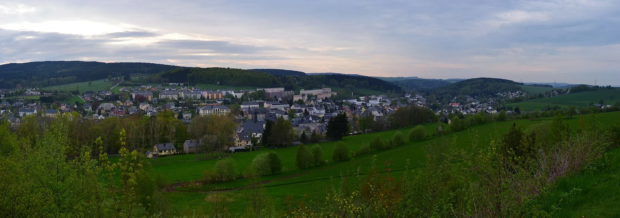
Start: Wiesa Village centerWiesa: Scenic Cycling Paradise in Chemnitz
Wiesa is a locality located in the Chemnitz region of Germany. As a road and gravel cyclist, you'll find numerous well-maintained roads in the area that offer scenic views of the surrounding landscape. The region is known for its rolling hills and picturesque countryside, providing excellent terrain for cycling. One famous cycling spot near Wiesa is the Schwartenberg climb, which attracts both locals and tourists due to its challenging gradient. Overall, Wiesa is a fantastic destination for cycling enthusiasts looking to explore the beauty of the Chemnitz region.13 km
13 km
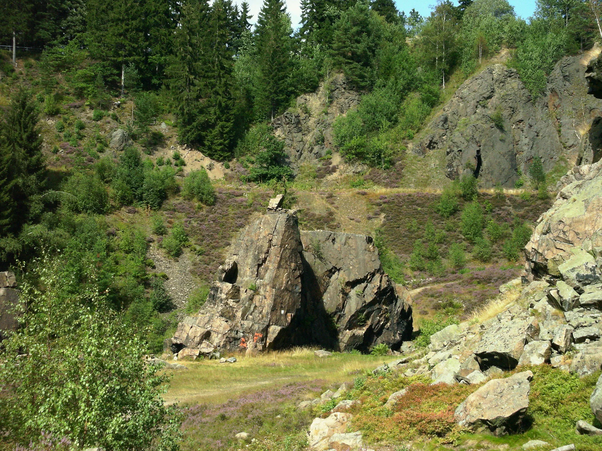
Gansberg654 mPeakChallenge yourself on the ascent to Gansberg, a demanding climb amidst stunning nature.
15 km
15 km
ElterleinTownExperience the picturesque beauty of Elterlein, a charming town nestled in the Erzgebirge mountains.
22 km
22 km
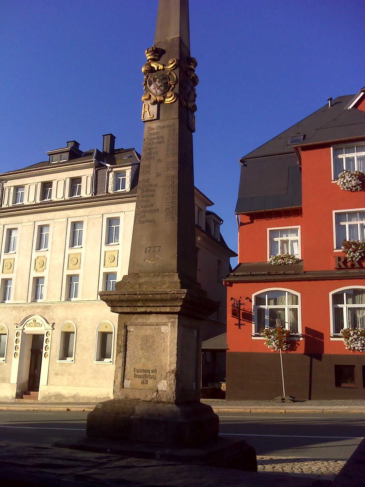
Kursächsische PostmeilensäuleAttractionMarvel at the historic Kursächsische Postmeilensäule, a milestone along the former postal route.
29 km
29 km
Pfefferberg465 mPeakPause at Pfefferberg and admire the panoramic views over the surrounding landscape.
49 km
49 km
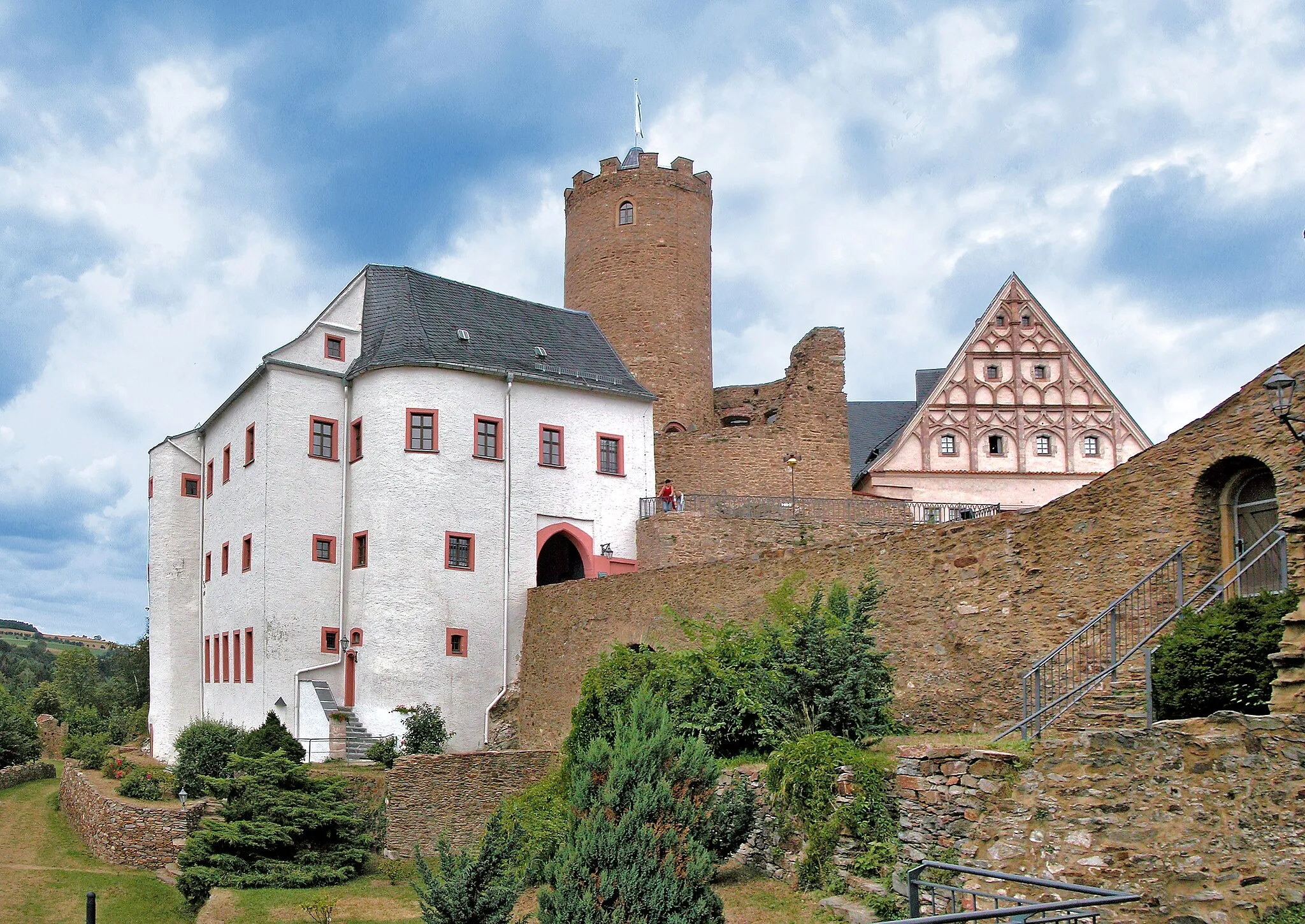
Aussicht vom SchlossViewpointTake in the breathtaking vistas from Aussicht vom Schloss, an iconic viewpoint near Wiesa.
53 km
53 km
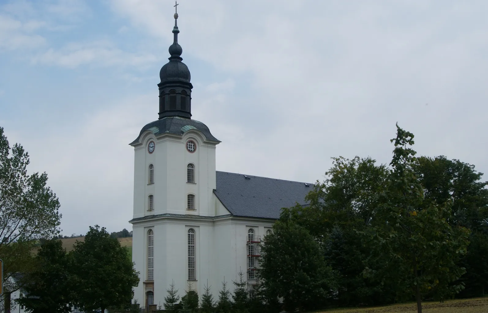
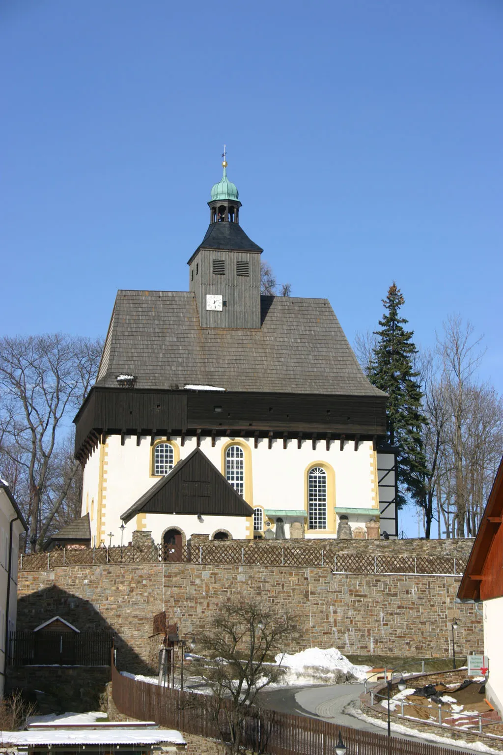
St. EgidienVillagePass through St. Egidien and discover its enchanting charm, with its Baroque church as the centerpiece.
67 km
67 km
HufeisenViewpointChallenge yourself on the ascent to Hufeisen, a steep climb with awe-inspiring views.
70 km
70 km
NiederwinkelSub-urbDiscover the captivating beauty of Niederwinkel, a small village surrounded by rolling hills.
82 km
82 km
Beobachtungspunkt FreiflugvoliereViewpointVisit the Beobachtungspunkt Freiflugvoliere and observe magnificent birds in their natural habitat.
86 km
86 km
PleißaVillagePause at Pleißa and take in the serene atmosphere of this peaceful village.
104 km
104 km
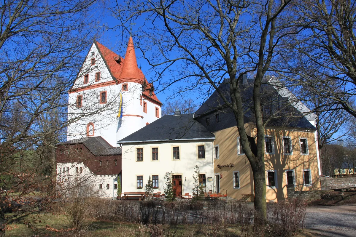
AdorfVillageExperience the charm of Adorf, a town known for its timber-framed houses and historic churches.
110 km
110 km
Erlberg471 mPeakConquer the challenging ascent to Erlberg, where breathtaking views over the landscape await.
120 km
120 km
EhrenfriedersdorfTownImmerse yourself in the history of Ehrenfriedersdorf, a mining town with a rich cultural heritage.
121 km
121 km
Friedrich-August-Höhe606 mPeakEnjoy stunning panoramic views from the Friedrich-August-Höhe, a popular viewpoint in the region.
127 km
127 km
Finish: Wiesa Village centerWiesa: Scenic Cycling Paradise in Chemnitz
Cycling routes from Wiesa:
Gravel Excursion in the Picturesque Ore Mountains The Gravel Mountain Adventure Scenic Gravel Expedition in the Ore Mountains The Gravel Adventure The Road Cycling Challenge Scenic Road Cycling Route in the Ore Mountains The Scenic Road Trail Road Cycling Adventure in the Ore Mountains The Mountain Challenge Gravel Adventure in the Ore Mountains
Cycling routes nearby: