Extreme Gravel Adventure
A gravel cycling route starting from Wolkenstein
Embark on an extreme gravel adventure around Wolkenstein and push your limits on challenging terrain.
Map
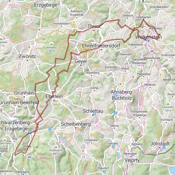
For thrill-seekers and experienced gravel cyclists, this extreme adventure offers 85 kilometers of exhilarating trails and tough climbs. With an ascent of 1809 meters, this route will test your skills and stamina. Highlights include Krähenhübel, Thum, Schatzenstein, and Waschleithe.
gravel
85 km
1809 m
Savage
Route profile
Highlights on the route
0 km
0 km
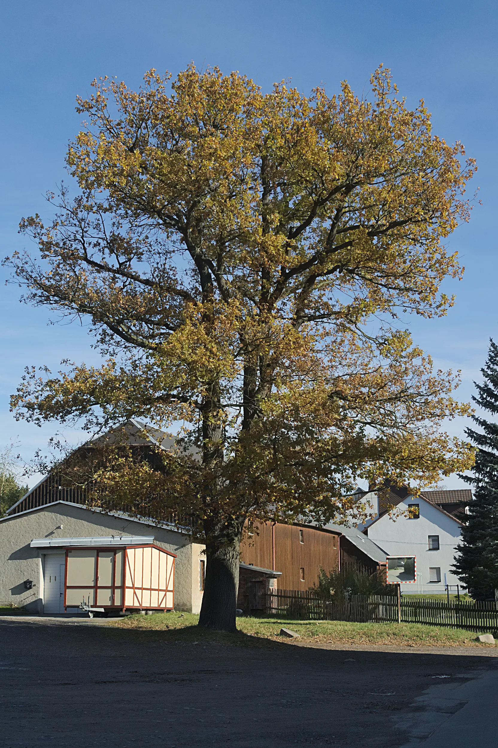
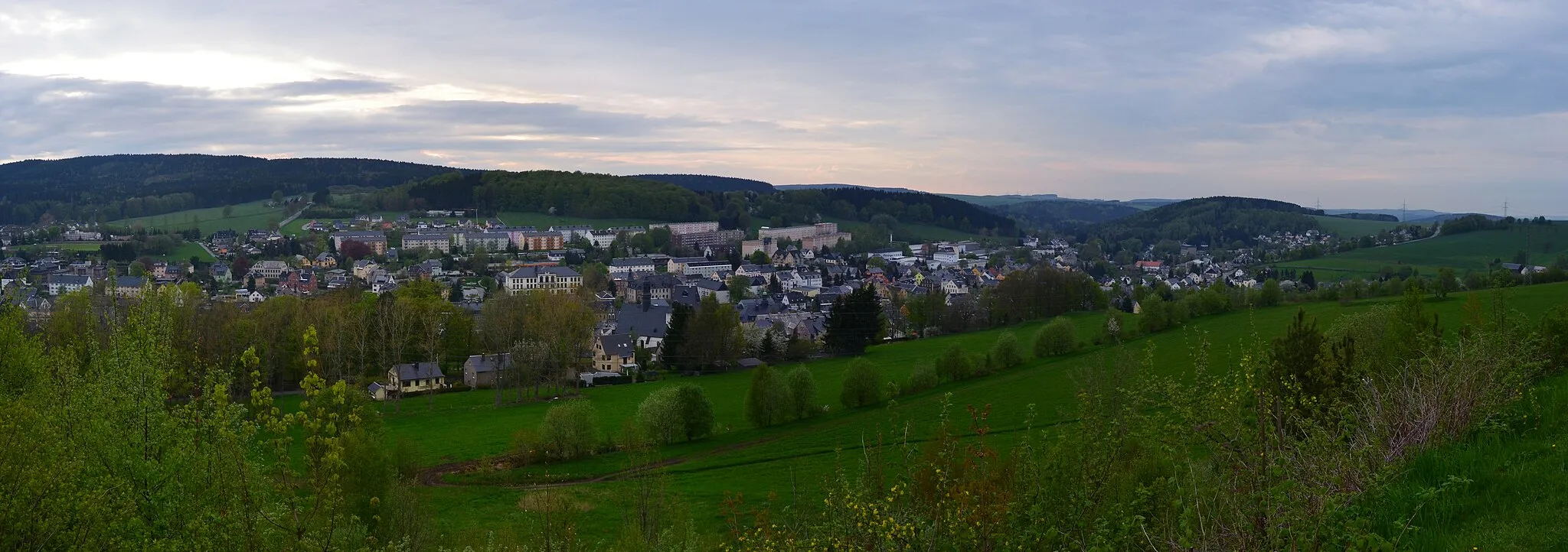
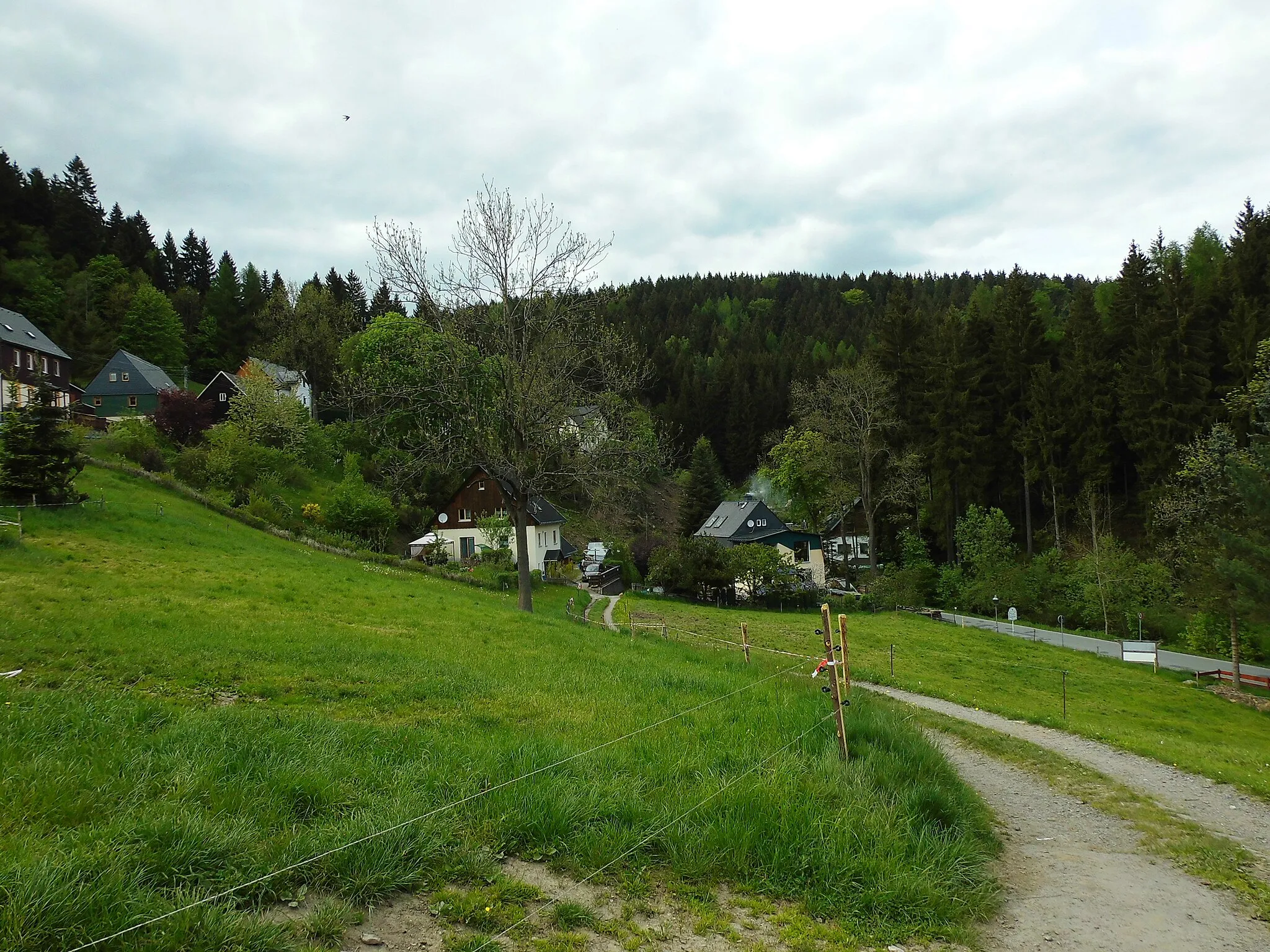
Start: Gehringswalde Village centerWolkenstein: Cycling Paradise in Wolkenstein
Wolkenstein, located in Germany near Chemnitz, offers scenic routes for road and gravel cyclists. The town is surrounded by picturesque landscapes and rolling hills, making it a great destination for cycling enthusiasts. One of the famous cycling spots in the area is the Wolkenstein Mountain, which provides a challenging climb and breathtaking views at the top. Overall, Wolkenstein offers a variety of cycling routes suitable for different skill levels and is a must-visit location for cyclists.1 km
1 km
Krähenhübel575 mPeakExplore Krähenhübel, a small mountain village offering breathtaking views over the rolling hills
14 km
14 km
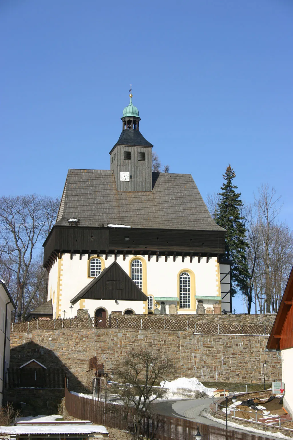
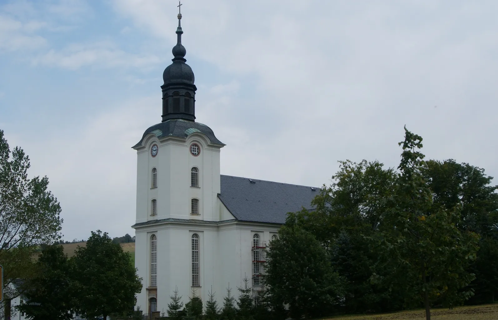
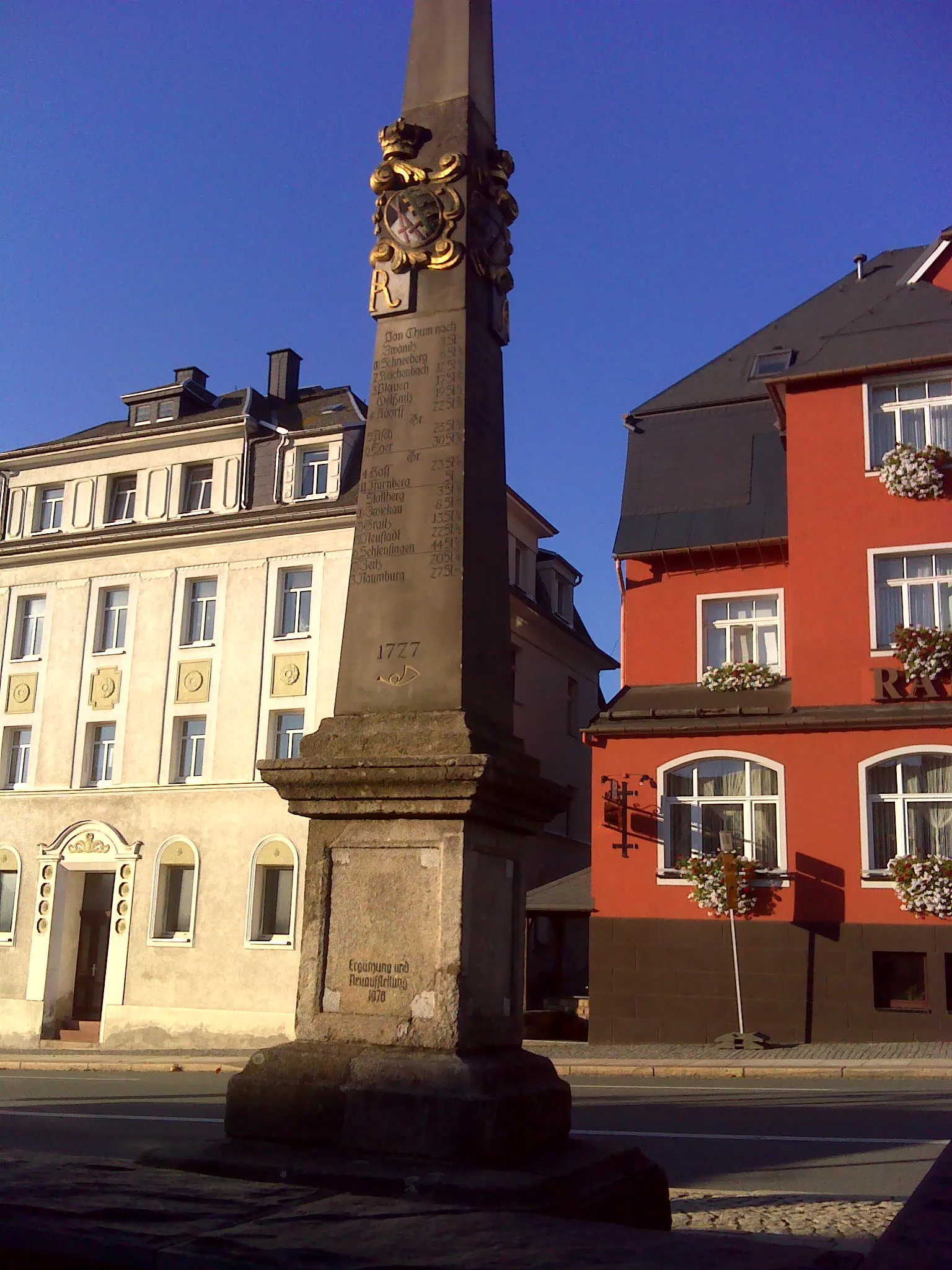
ThumTownPass through Thum, a picturesque town known for its impressive castle ruins and charming narrow streets
29 km
29 km
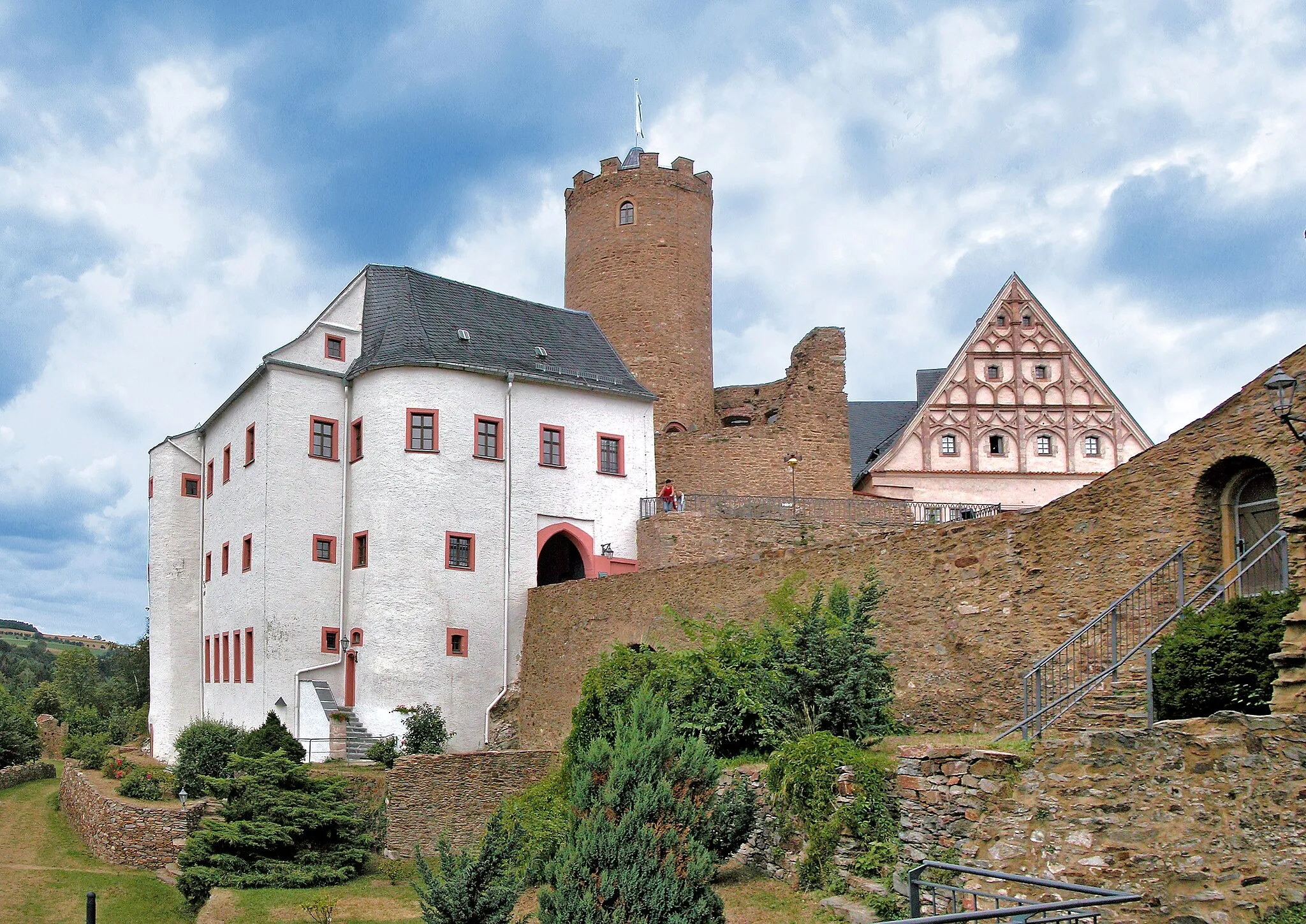
Schatzenstein760 mPeakVisit Schatzenstein, an ancient fortress perched on a rocky outcrop, providing commanding views of the surrounding landscape
34 km
34 km
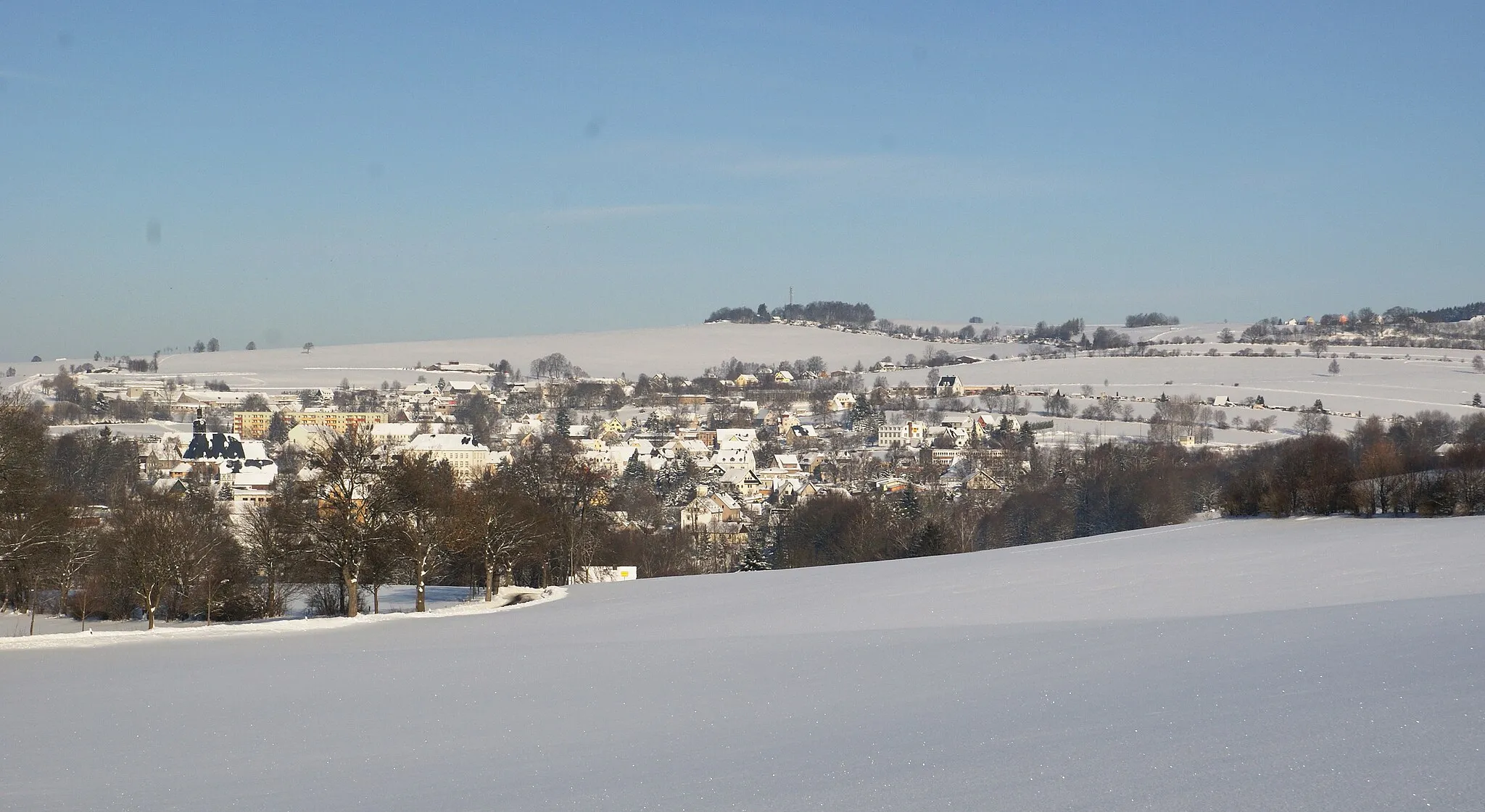
WaschleitheVillageCycle to Waschleithe, a historic mining town with well-preserved buildings and a fascinating museum
49 km
49 km
Knochen551 mPeakDiscover Knochen, a scenic vantage point offering panoramic views of the Ore Mountains
57 km
57 km
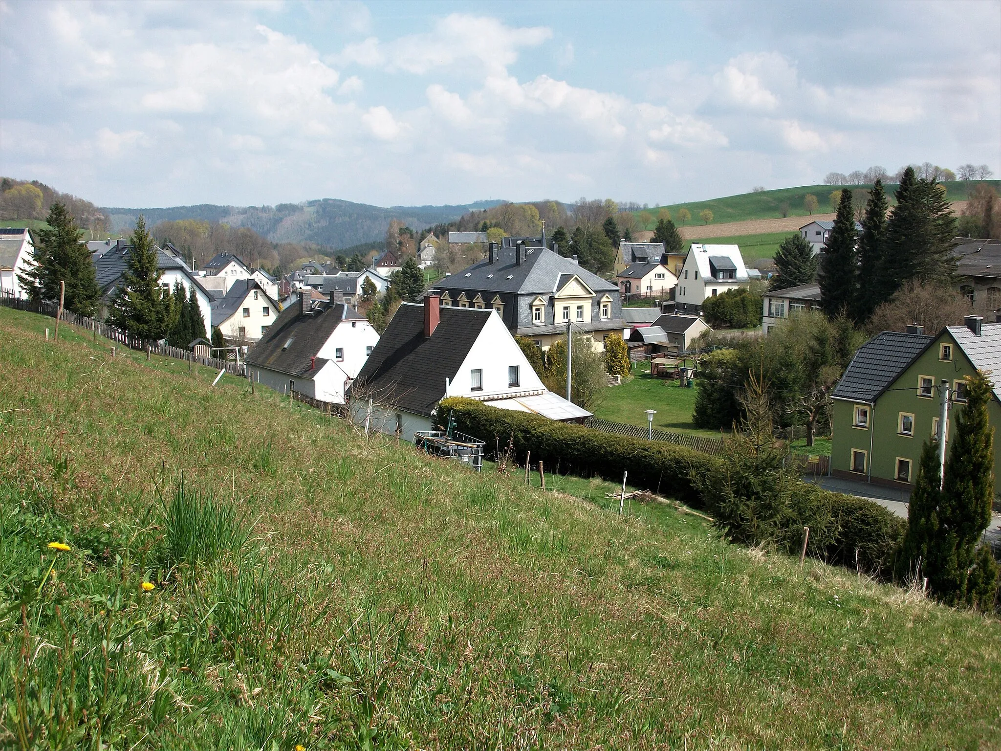
ElterleinTownPass through Elterlein, a charming village with traditional timber-framed houses and a tranquil atmosphere
71 km
71 km
Friedrich-August-Höhe606 mPeak72 km
72 km
EhrenfriedersdorfTownExplore Ehrenfriedersdorf, a historic town known for its mining heritage and beautiful medieval architecture
81 km
81 km
HopfgartenVillage85 km
85 km
Finish: Gehringswalde Village centerWolkenstein: Cycling Paradise in Wolkenstein
Cycling routes nearby: