Around the Nature
A road cycling route starting from Bad Soden am Taunus
Experience the natural wonders of the region on this road cycling adventure
Map

The Around the Nature route is a road cycling adventure that takes riders through scenic landscapes and charming towns surrounding Bad Soden am Taunus. Covering a distance of 48 km and featuring an ascent of 173 m, this route offers a mix of natural beauty and cultural highlights. Cyclists can discover highlights such as Nied, Visitors' Terrace, Zeppelinheim, Plane Spotter FRA Startbahn West, Kelsterbach, and Unterliederbach.
road
48 km
173 m
Chill
Route profile
Highlights on the route
0 km
0 km
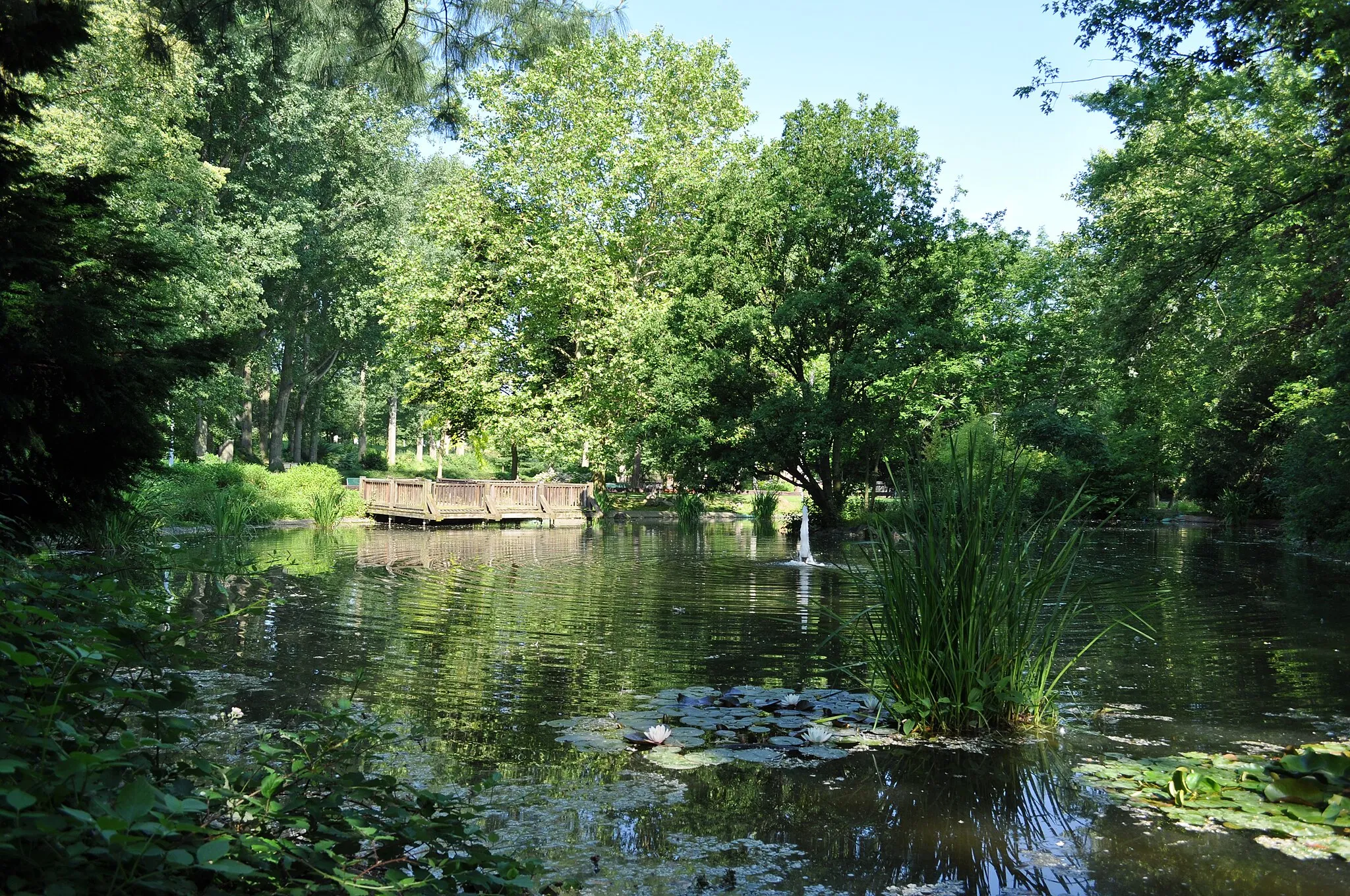
Start: Sulzbach Village centerBad Soden am Taunus: Discover scenic routes and challenging climbs in Bad Soden am Taunus
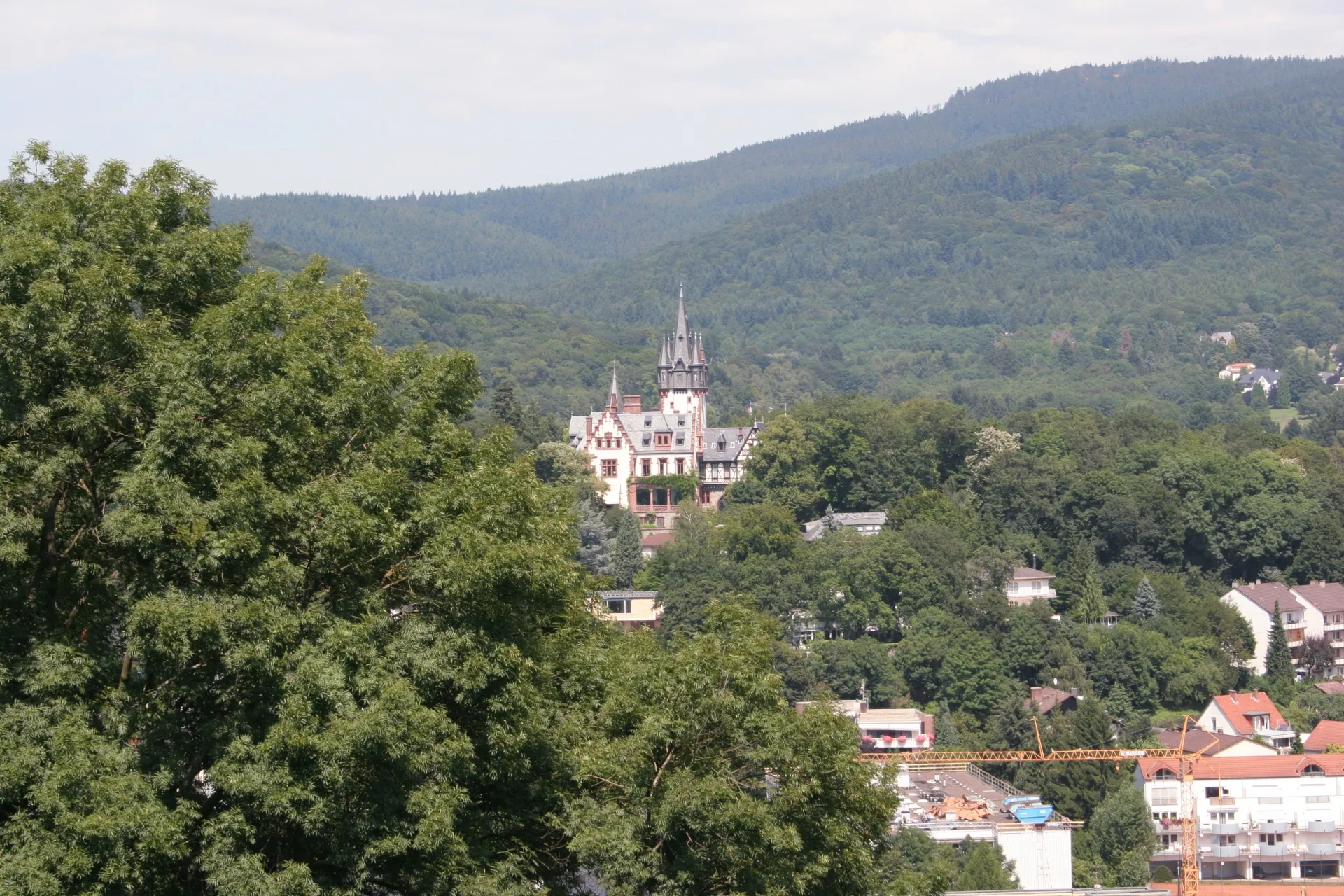
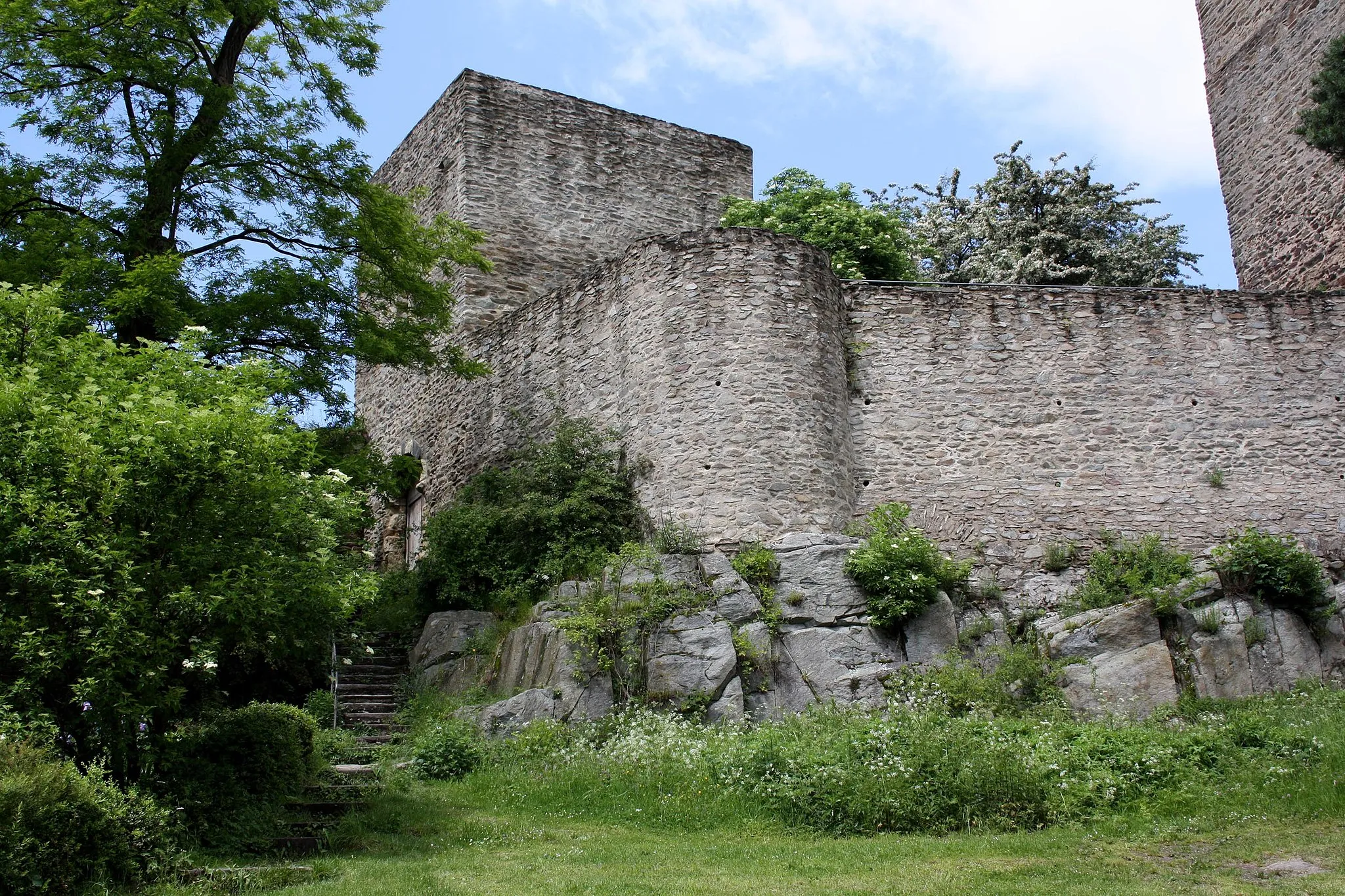
Bad Soden am Taunus in Darmstadt, Germany, is a cyclist's paradise with a wide range of scenic routes suitable for both road and gravel cycling. The town is nestled in the Taunus mountains, offering breathtaking views and challenging climbs. Cyclists can explore the surrounding forests and vineyards, ride along peaceful country roads, or test their skills on the mountain trails. Bad Soden am Taunus is also home to the Alte Kurpark, a historic park perfect for post-ride relaxation. With its diverse terrain and beautiful landscapes, Bad Soden am Taunus is a top destination for cycling enthusiasts.5 km
5 km
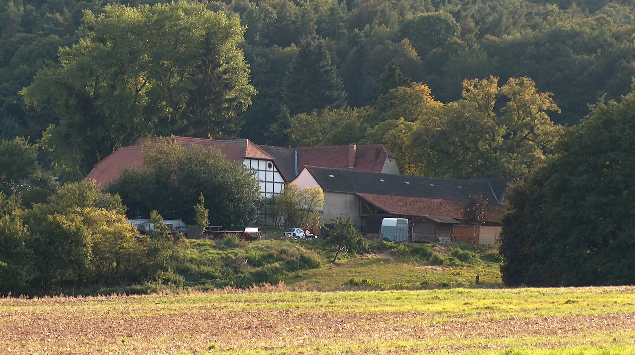
NiedSub-urbNied is a quaint neighborhood with a charming village atmosphere. Take a moment to explore its streets and enjoy the peaceful ambiance.
16 km
16 km
Visitors' TerraceViewpointVisit the Visitors' Terrace and witness the hustle and bustle of Frankfurt Airport up close. Watch planes take off and land in this unique vantage point.
21 km
21 km
ZeppelinheimVillageZeppelinheim is a historical village with a rich aviation history. Explore its streets and learn about the fascinating role it played in airship development.
30 km
30 km
Plane Spotter FRA Startbahn WestViewpointPlane Spotter FRA Startbahn West is a popular spot for aviation enthusiasts. Marvel at the planes taking off and landing from a safe distance.
37 km
37 km
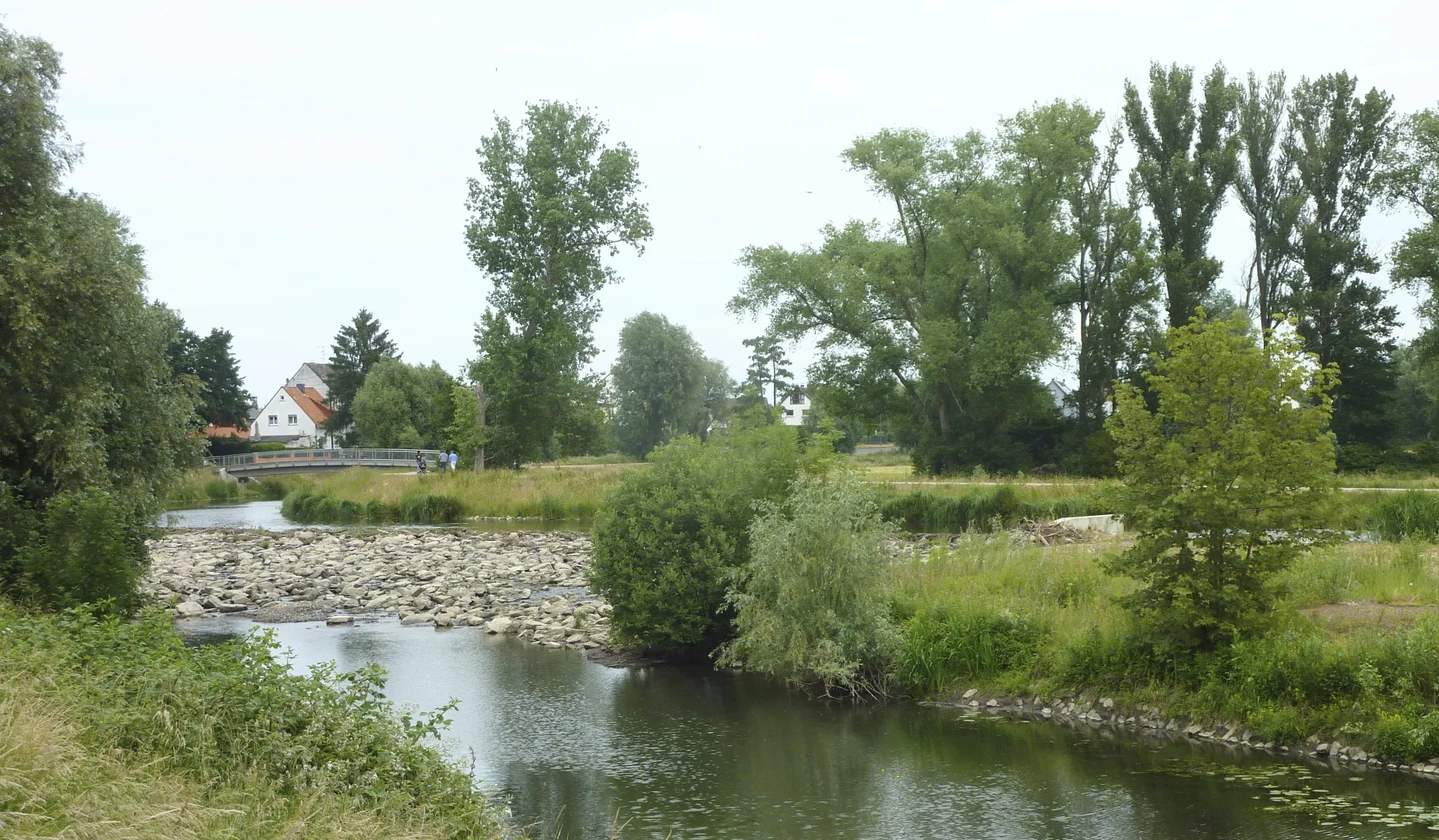
KelsterbachTownKelsterbach is a charming town with a picturesque riverside setting. Take a break and enjoy a leisurely stroll along the banks of the Main River.
44 km
44 km
UnterliederbachSub-urbUnterliederbach is a residential area with modern architecture and green spaces. Experience the contemporary side of the region as you cycle through.
48 km
48 km
Finish: Sulzbach Village centerBad Soden am Taunus: Discover scenic routes and challenging climbs in Bad Soden am Taunus
Cycling routes nearby: