Taunus Mountain Trail
A gravel cycling route starting from Gallus
Experience stunning panoramic views of the Taunus mountains.
Map
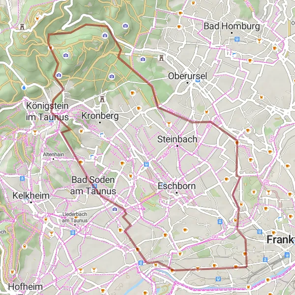
Explore the beautiful Taunus mountains and enjoy breathtaking views along the way. This route takes you through picturesque villages and forests, making it a perfect escape from the city. The trail offers a good mix of climbing and descending, with a total ascent of 664m. With a distance of 49km, it is a challenging but rewarding ride.
gravel
49 km
664 m
Tough
Route profile
Highlights on the route
0 km
0 km
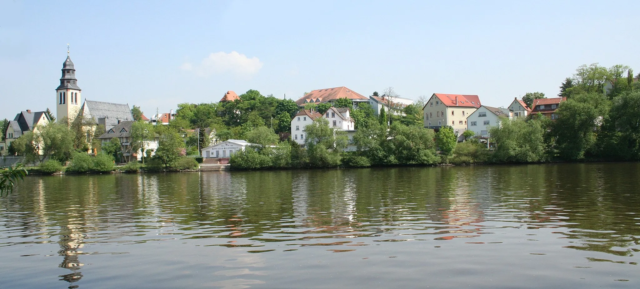
Start: Locality centerGallus: Tranquil Riding through German Countryside
Gallus is situated in the Darmstadt region of Germany. As a cyclist, Gallus offers pleasant road cycling experiences with well-maintained roads and moderate traffic volumes. Although not a prominent cycling destination, the locality provides access to nearby cycling routes through picturesque German landscapes. Road cyclists can enjoy rides through charming villages and open fields, immersing themselves in the region's appealing scenery. The Odenwald mountain range, located nearby, offers opportunities for more challenging climbs. While not a highly renowned cycling spot, Gallus still has its own charm and caters to cyclists looking for a quieter riding experience.5 km
5 km
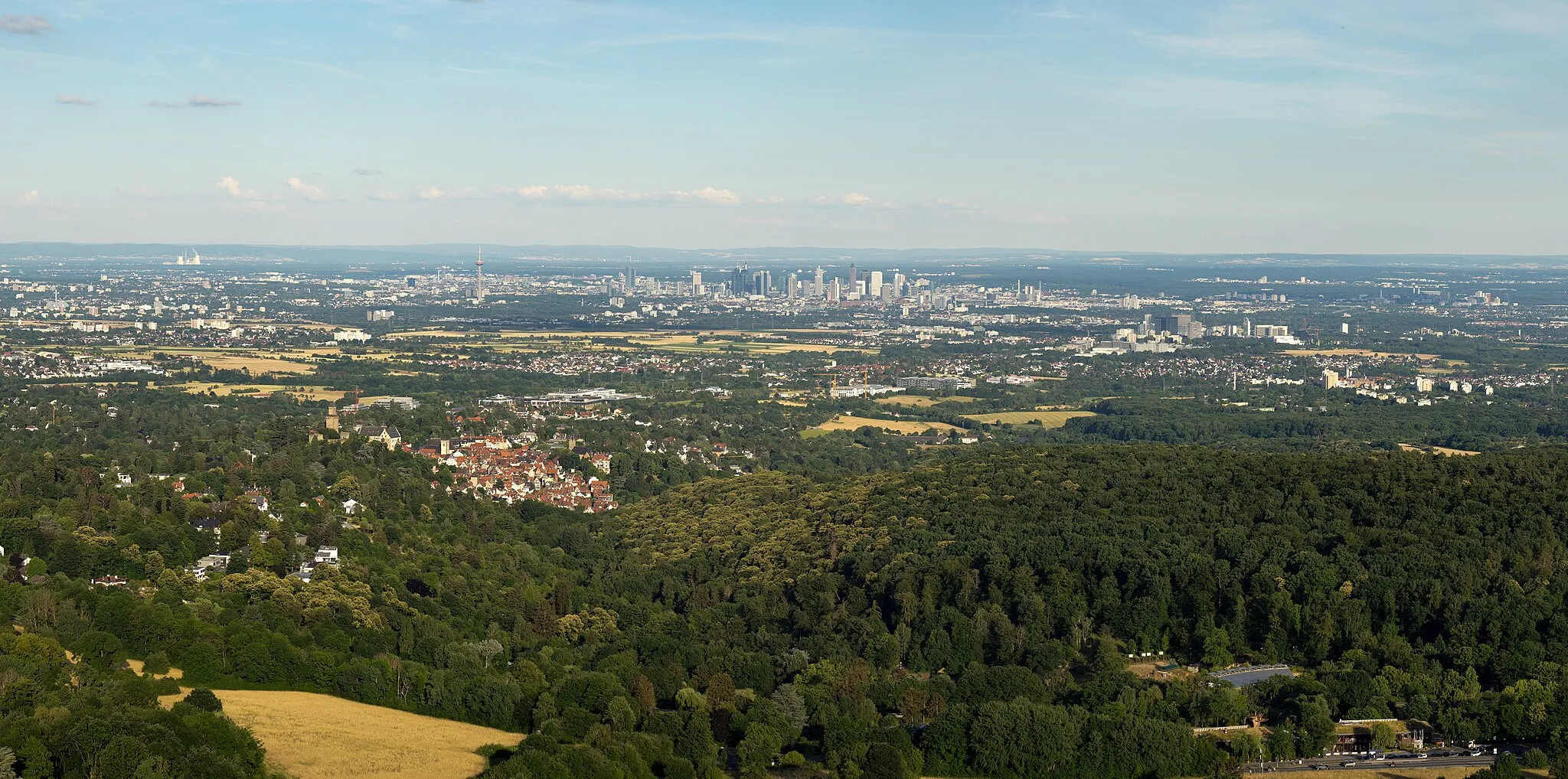
AussichtsplattformViewpointVisit the Aussichtsplattform, a popular viewpoint offering panoramic views of the Taunus mountains.
12 km
12 km
Bad Soden am TaunusTownStop by Bad Soden am Taunus and immerse yourself in its charming atmosphere.
19 km
19 km
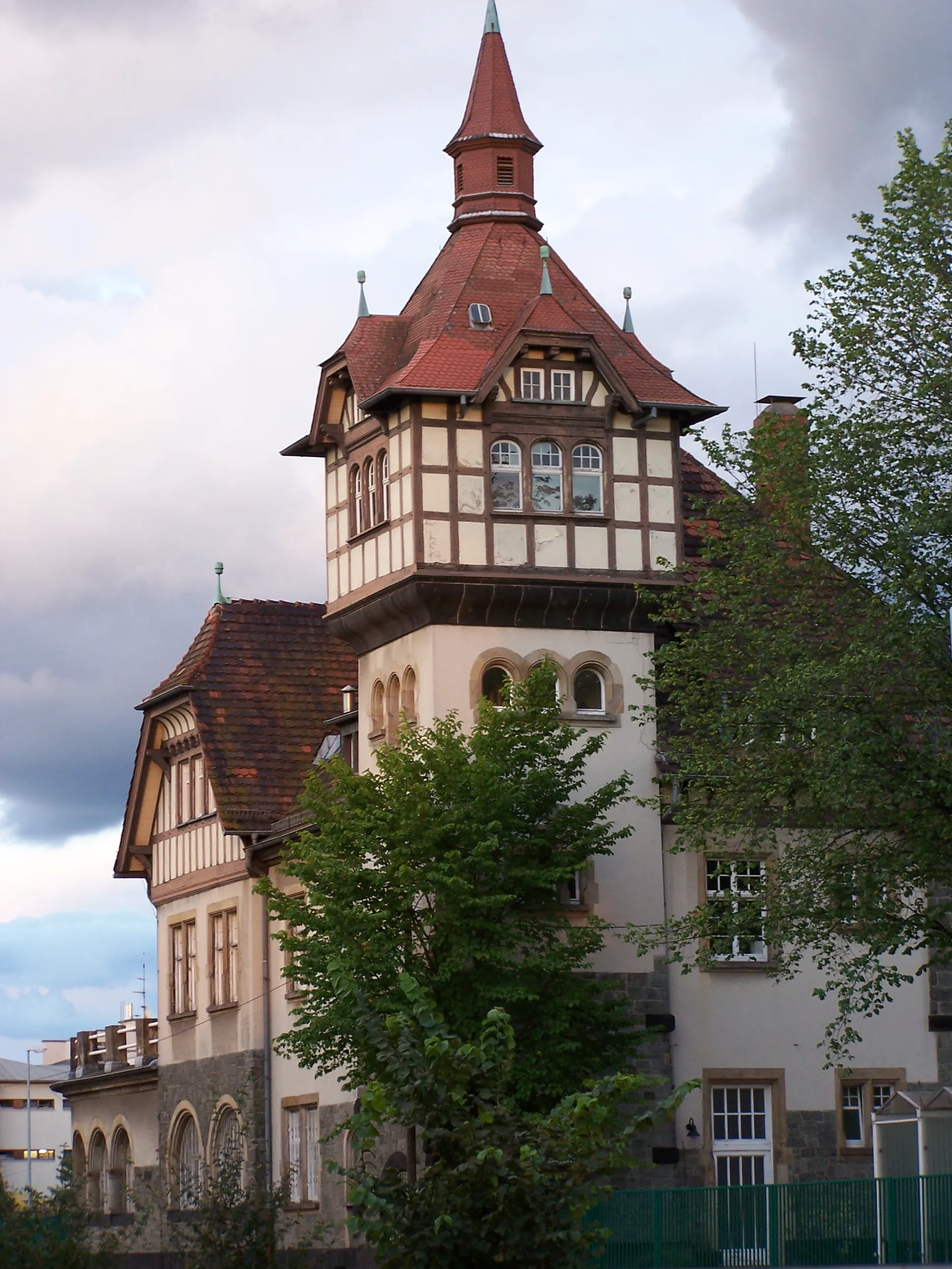
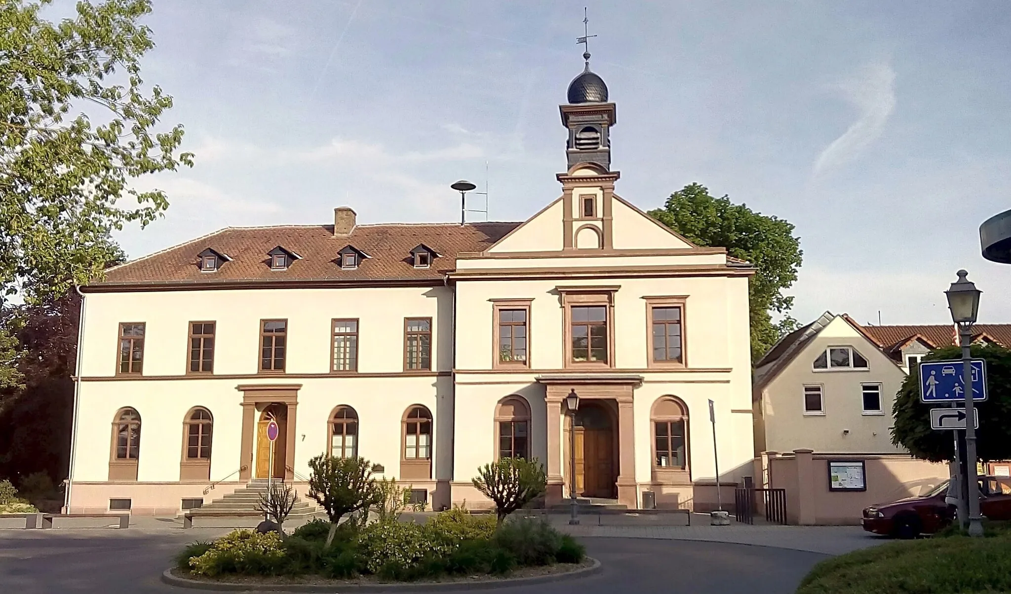
Königstein im TaunusTownDiscover the historic town of Königstein im Taunus, known for its impressive castle ruins.
23 km
23 km
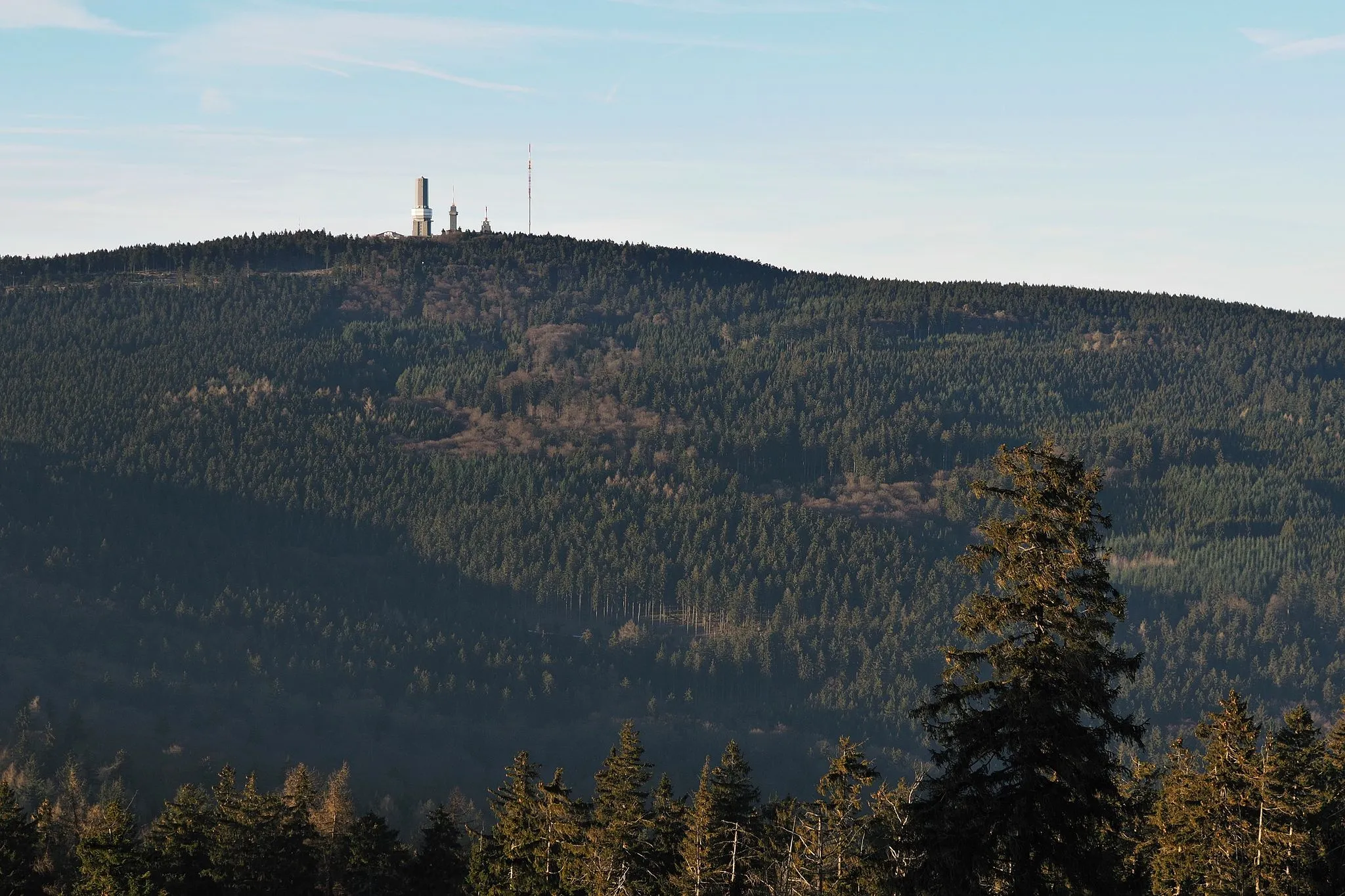
Altkönig798 mPeakAdmire the Altkönig, a prominent mountain peak in the Taunus region.
28 km
28 km
Lindenberg541 mPeakClimb to the top of Lindenberg and enjoy sweeping views of the surrounding countryside.
35 km
35 km
StierstadtSub-urbPass through the quaint village of Stierstadt and learn about its rich history.
47 km
47 km
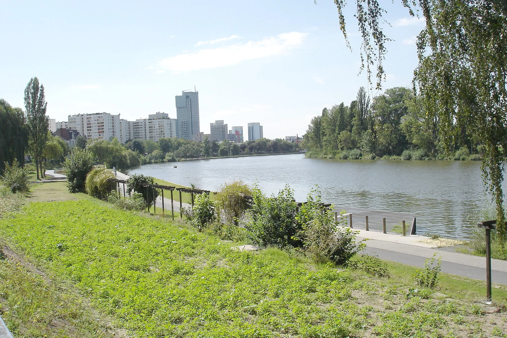
EuropaviertelSub-urbExplore the modern Europaviertel in Frankfurt, featuring futuristic architecture and vibrant urban spaces.
49 km
49 km
Finish: Locality centerGallus: Tranquil Riding through German Countryside
Cycling routes from Gallus:
Odenwald Loop Taunus Mountain Trail Gravel Adventure in the Rhine-Main Region Scenic Road Cycling Adventure to the Taunus Mountains Around the Berlin Wall Journey through Historical Sites Gravel Adventure in the Countryside The Taunus Adventure Scenic Nature Ride Historic and Cultural Highlights Trail Frankfurt Loop Taunus Gravel Adventure
Cycling routes nearby: