Hain-Gründau Loop
A road cycling route starting from Hain-Gruendau
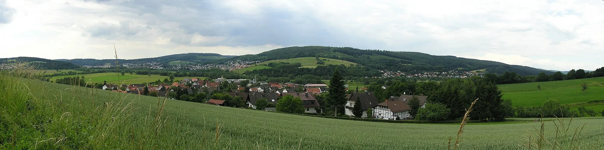
Experience the scenic beauty of Hain-Gründau and its surroundings
Map
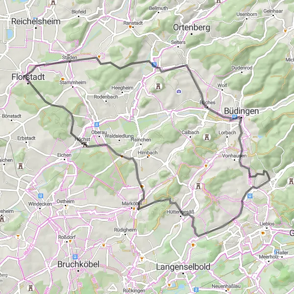
Embark on this 64km road cycling route starting near Hain-Gründau. With a total ascent of 573m, this loop offers stunning views of Langen-Bergheim, Schwarzer Berg, Staden, Büdingen, Wilder Stein, Großer Reffenkopf, and Hain-Gründau.
road
64 km
573 m
Tough
Route profile
Highlights on the route
0 km
0 km
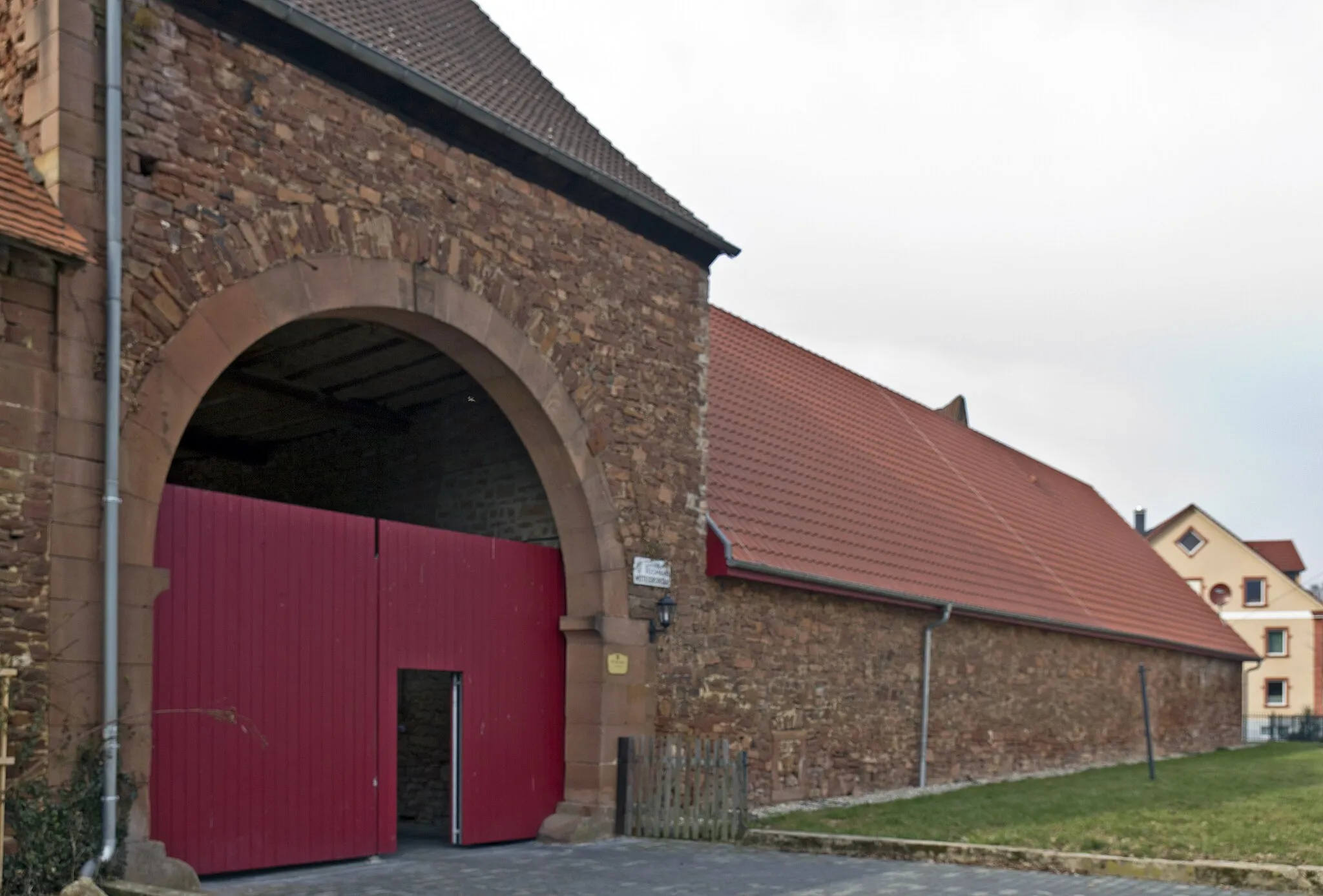
Start: Hain-Gründau Village centerHain-Gründau: Exploring Hain-Gründau's charming countryside and taking on the challenging Kinzig climb.
Hain-Gründau is a locality located in the Darmstadt region of Germany. For road and gravel cyclists, Hain-Gründau offers a range of biking opportunities. The town itself has some bike-friendly facilities, such as bike rentals and repair shops. Cyclists can explore the surrounding countryside and charming villages on well-marked roads and paths. The region has a mix of flat and hilly terrain, providing options for both leisurely rides and challenging climbs. One well-known cycling spot nearby is the Kinzig climbing route, which offers rewarding views at the top. Overall, Hain-Gründau is a good destination for road and gravel cyclists looking for varied cycling routes and scenic landscapes.17 km
17 km
Langen-BergheimVillageVisit the picturesque Langen-Bergheim and witness its charming countryside atmosphere.
34 km
34 km
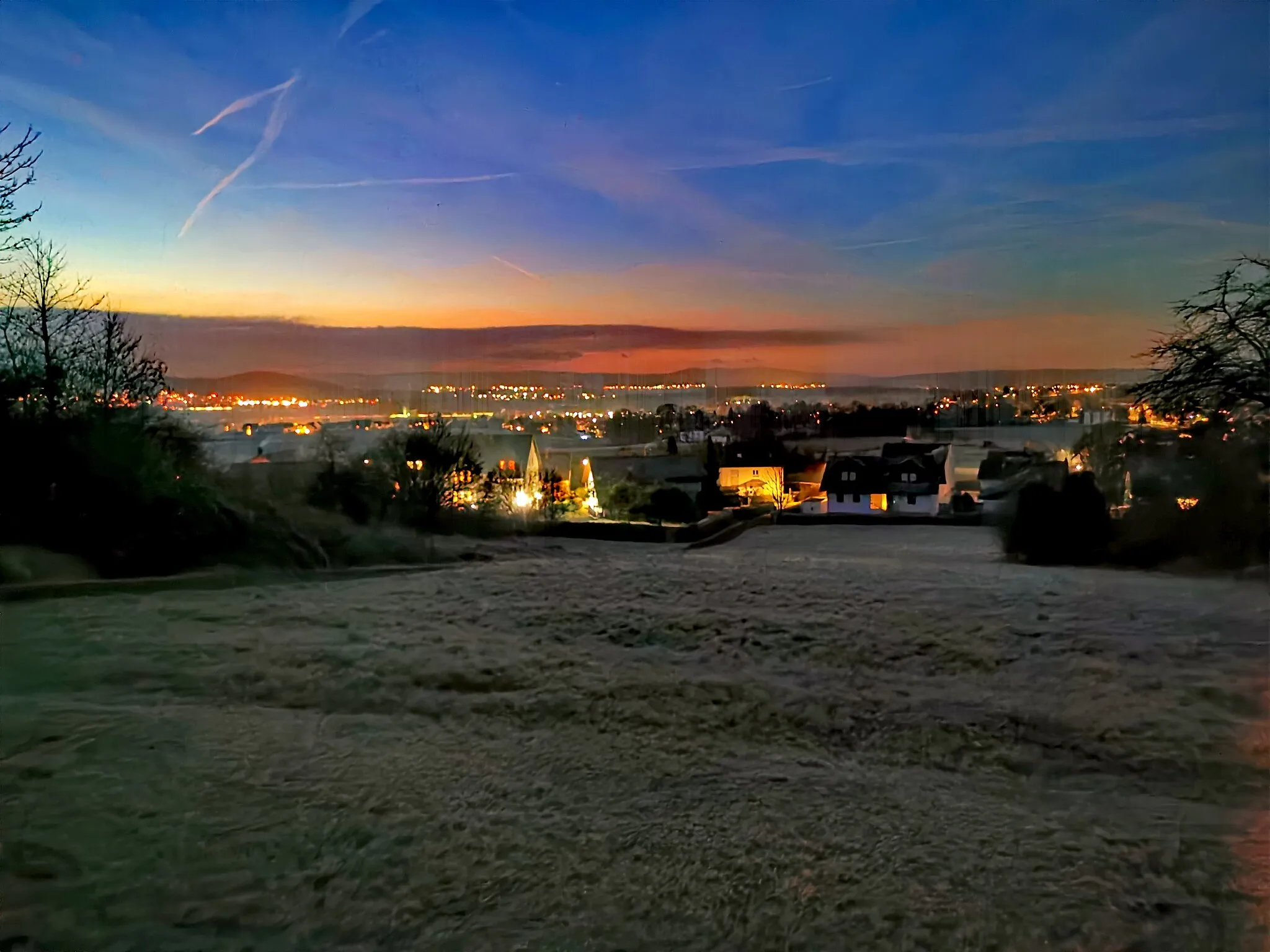
Schwarzer Berg141 mPeakEnjoy panoramic views at Schwarzer Berg and take some memorable pictures.
37 km
37 km
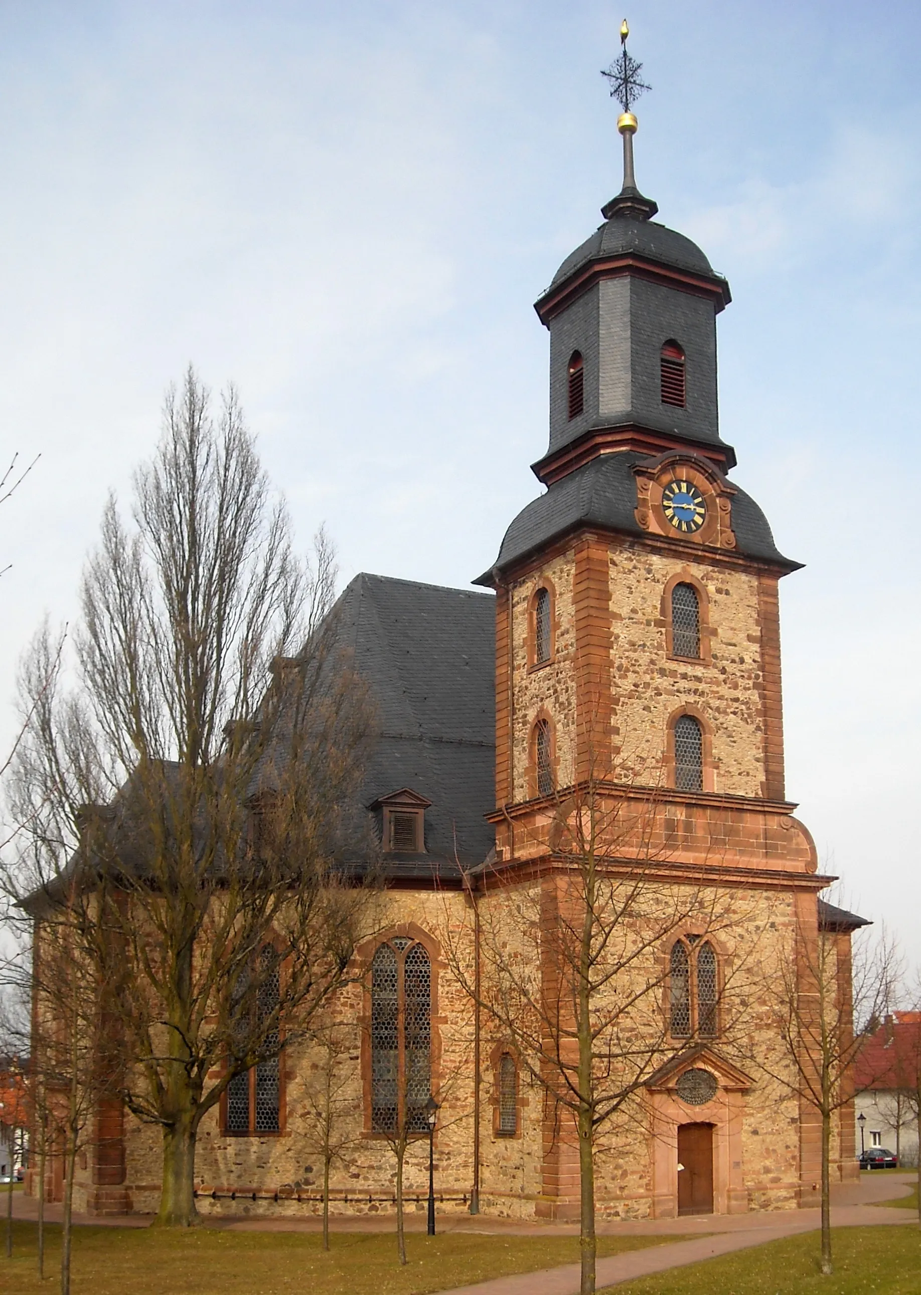
StadenVillageDiscover the historic town of Staden with its well-preserved medieval buildings.
55 km
55 km
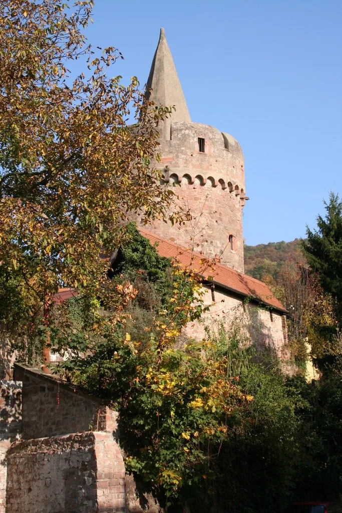
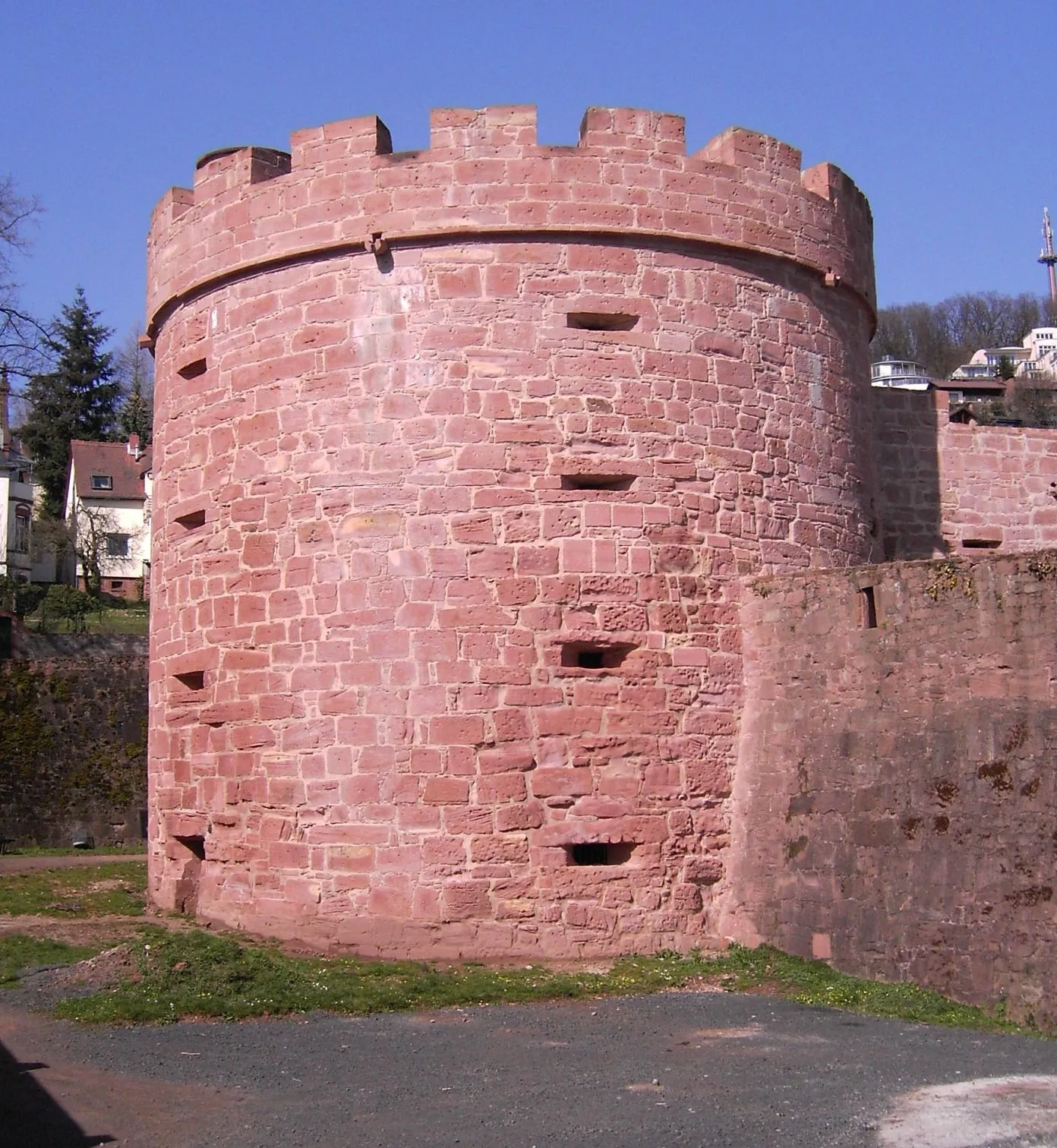
BüdingenTownMarvel at the impressive Büdingen Castle and step back in time to the Middle Ages.
56 km
56 km
Wilder SteinViewpointAdmire the unique geological formation of Wilder Stein, a rock outcrop surrounded by picturesque landscapes.
63 km
63 km
Großer Reffenkopf298 mPeakClimb the majestic Großer Reffenkopf, one of the highest peaks in the area, and enjoy panoramic vistas.
64 km
64 km
Hain-GründauVillageStarting and ending point of the route, Hain-Gründau is a charming village nestled in beautiful natural surroundings.
64 km
64 km
Finish: Hain-Gründau Village centerHain-Gründau: Exploring Hain-Gründau's charming countryside and taking on the challenging Kinzig climb.
Cycling routes nearby: