Kriftel to Zeilsheim Gravel Route
A gravel cycling route starting from Kriftel
Experience the gravel roads from Kriftel to Zeilsheim
Map
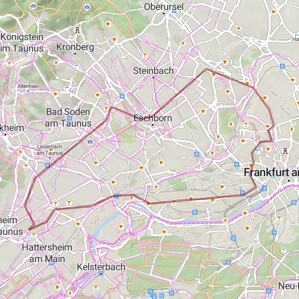
This gravel route takes you from Kriftel to Zeilsheim, offering a unique cycling experience. With a total ascent of 179 meters and a distance of 43 kilometers, this route is perfect for avid cyclists looking for a challenging adventure. The route showcases some of the region's highlights along the way.
gravel
43 km
179 m
Tough
Route profile
Highlights on the route
0 km
0 km
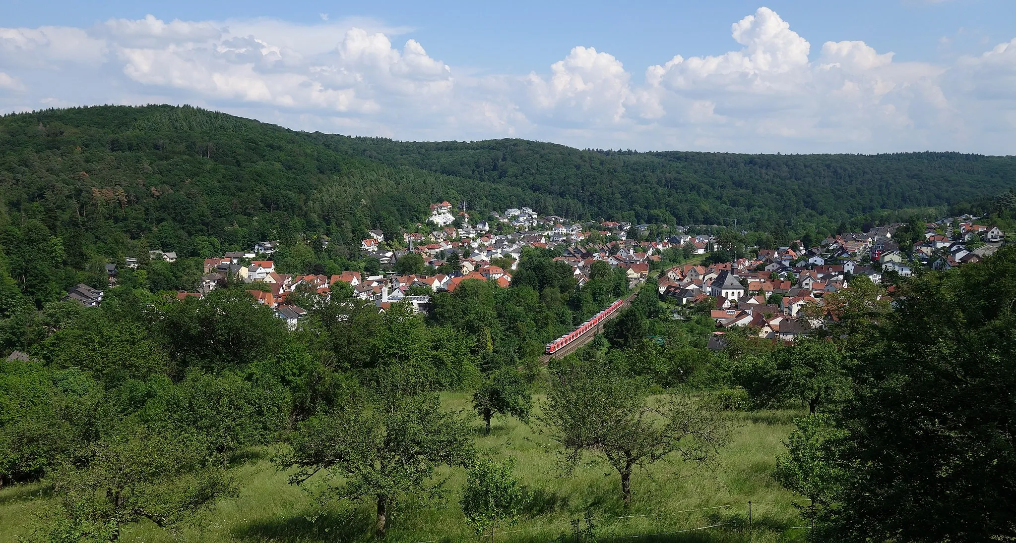
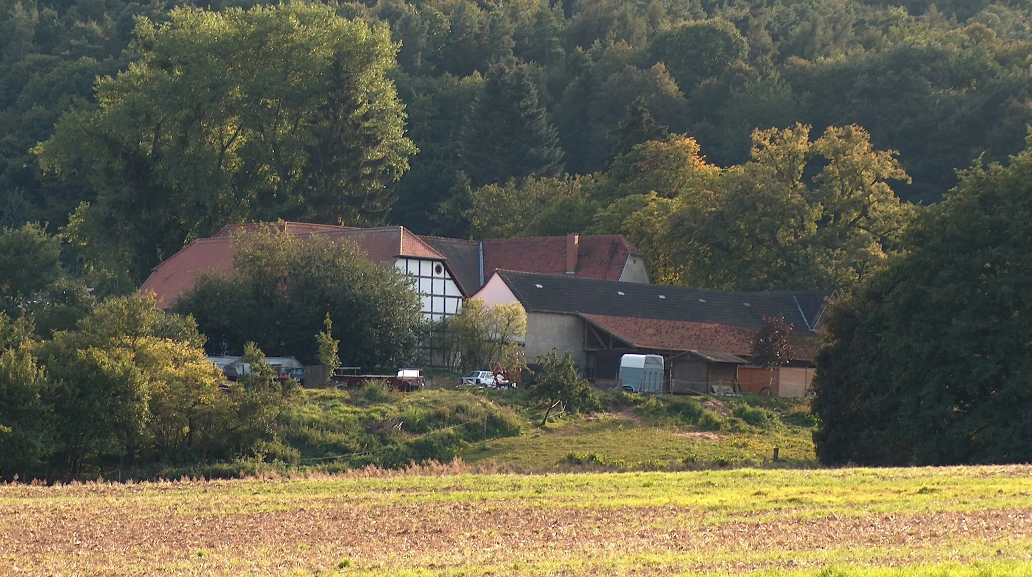
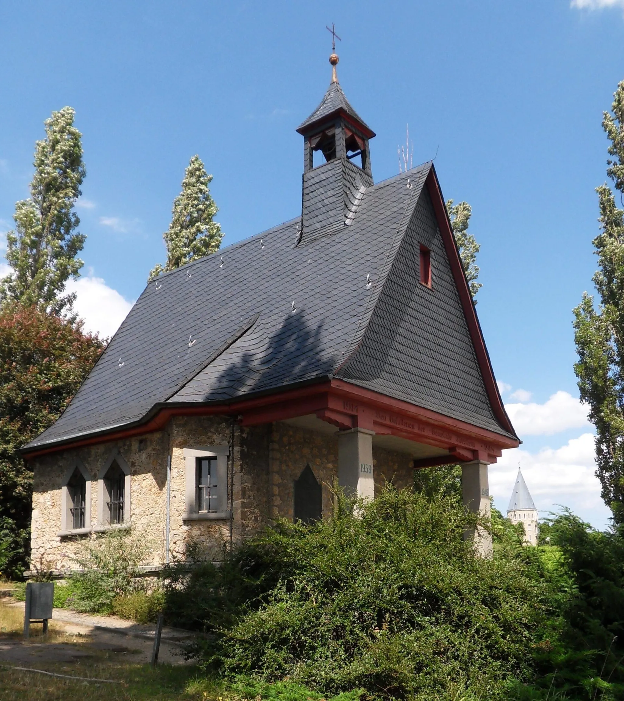
Start: Kriftel Village centerKriftel: Enjoying diverse routes and beautiful landscapes in Kriftel
Kriftel, located in Darmstadt, Germany, offers cyclists diverse routes through the region's beautiful landscapes. The locality provides both road and gravel cyclists with pleasant rides and picturesque surroundings. Though there are no famous cycling spots or well-known climbs in Kriftel, it is still a suitable area for cycling enthusiasts who enjoy exploring scenic routes.6 km
6 km
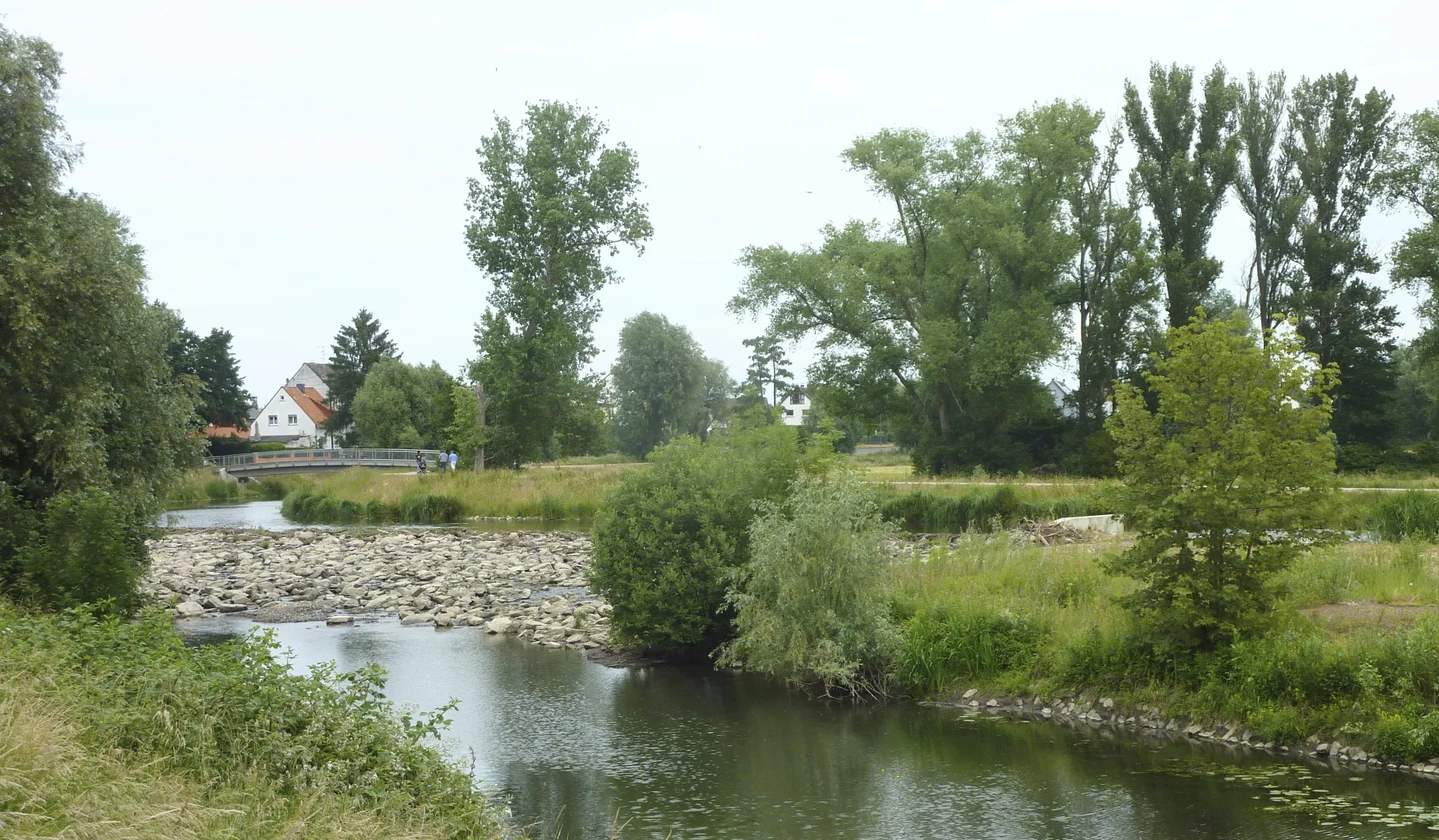
WasserturmViewpointLocated approximately 6 kilometers from the start, the Wasserturm (Water Tower) offers a picturesque view of the surrounding area.
12 km
12 km
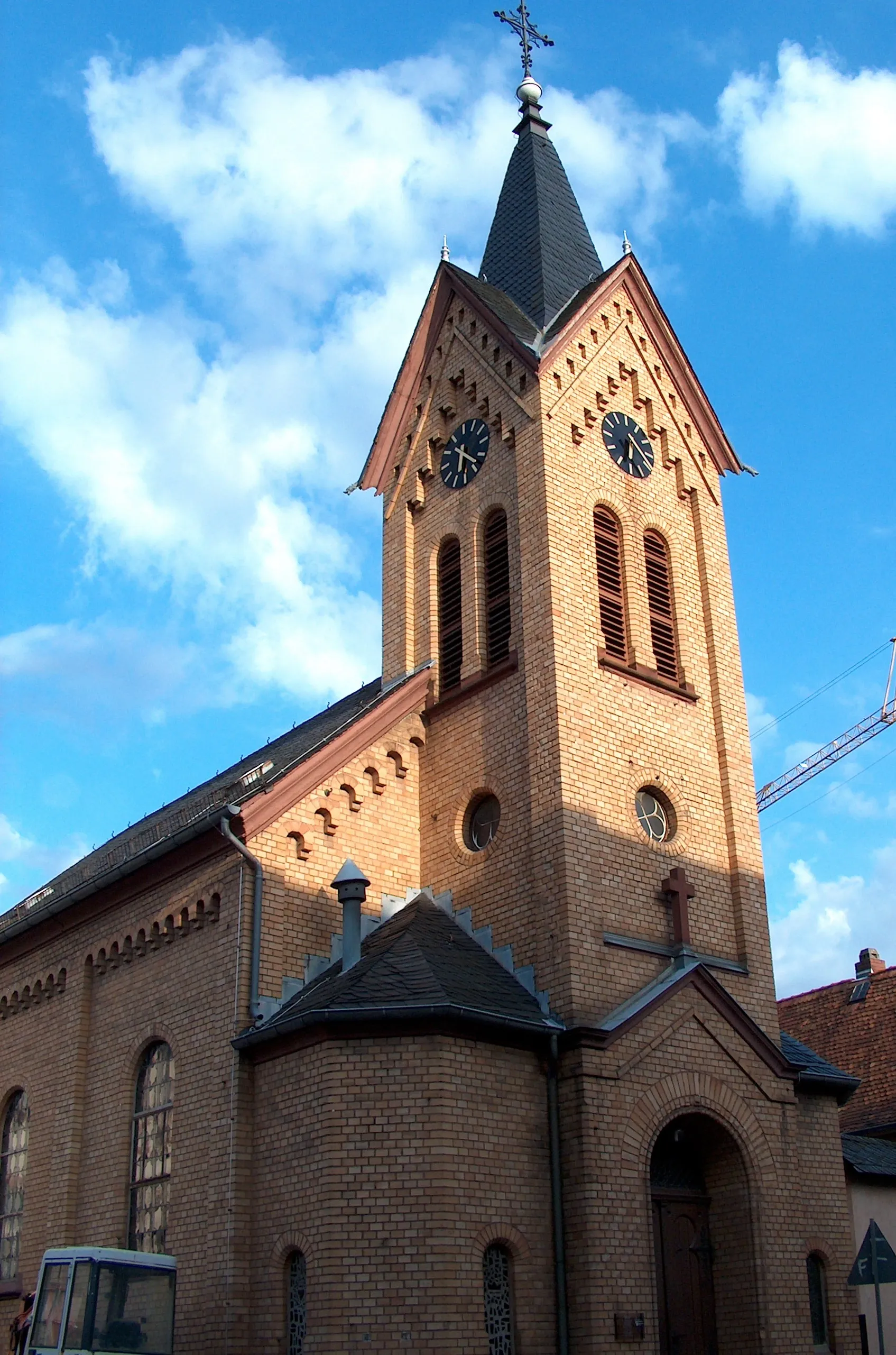
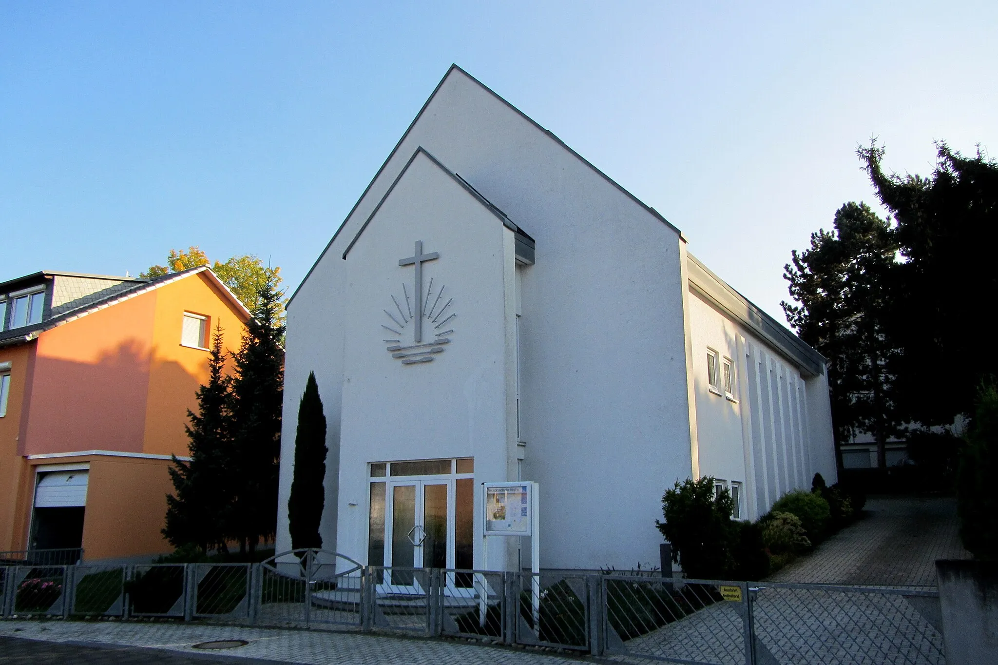
EschbornTownEschborn, located 12 kilometers into the route, is known for its scenic beauty and charming atmosphere. Take a moment to soak in the views.
20 km
20 km
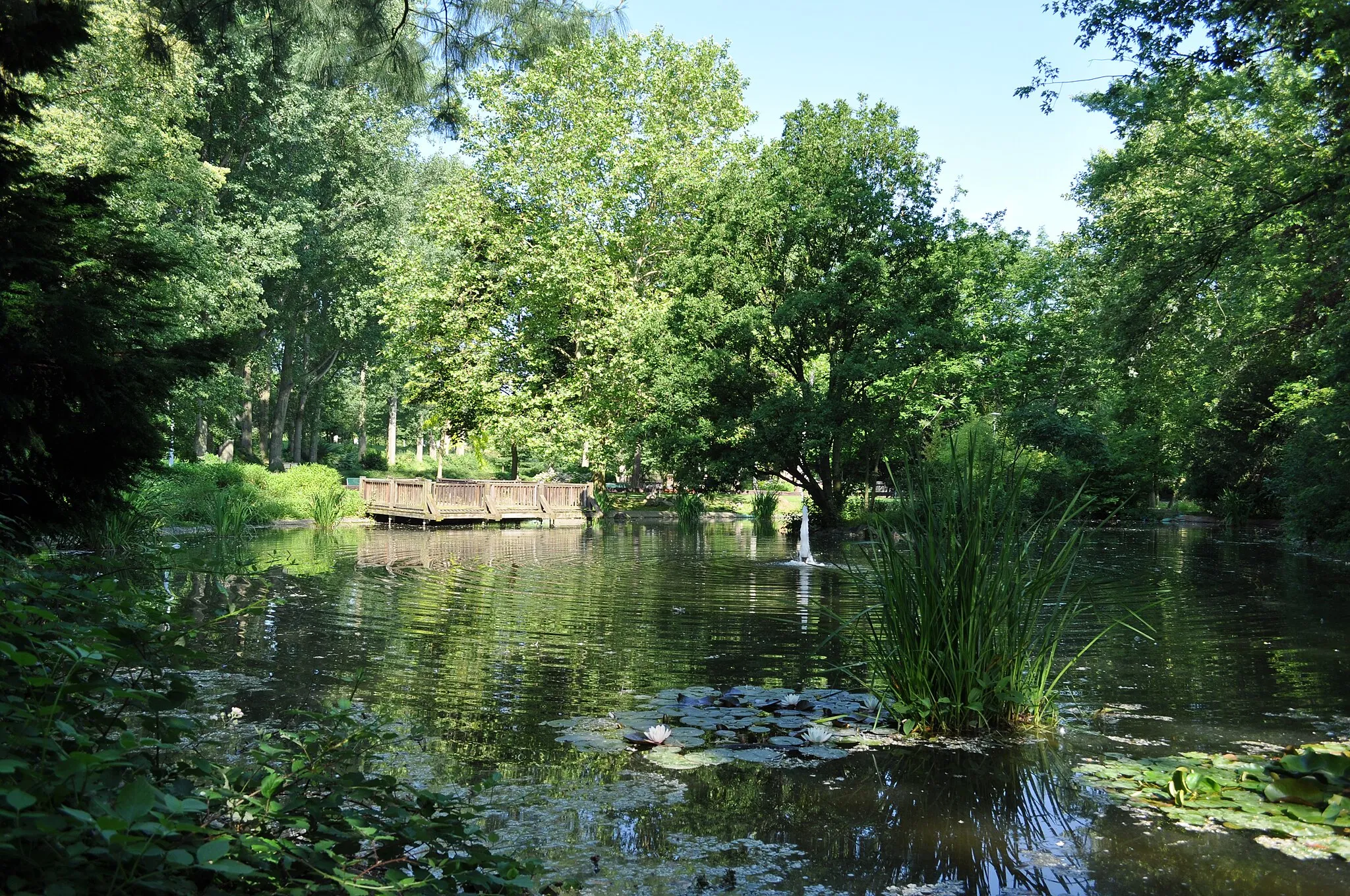
Brunnen am Weißen SteinAttractionThe Brunnen am Weißen Stein (Fountain at White Stone) is a famous landmark along the route, attracting visitors from all over the country. Marvel at its beauty and history.
28 km
28 km
WesthafenspitzViewpointWesthafenspitz is a unique architectural spot located 28 kilometers into the route. Admire its modern design and enjoy the surrounding area.
34 km
34 km
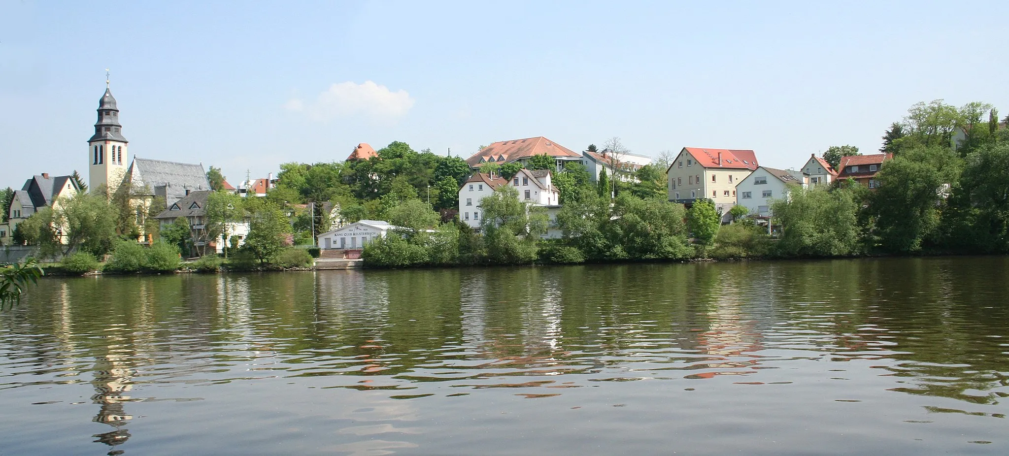
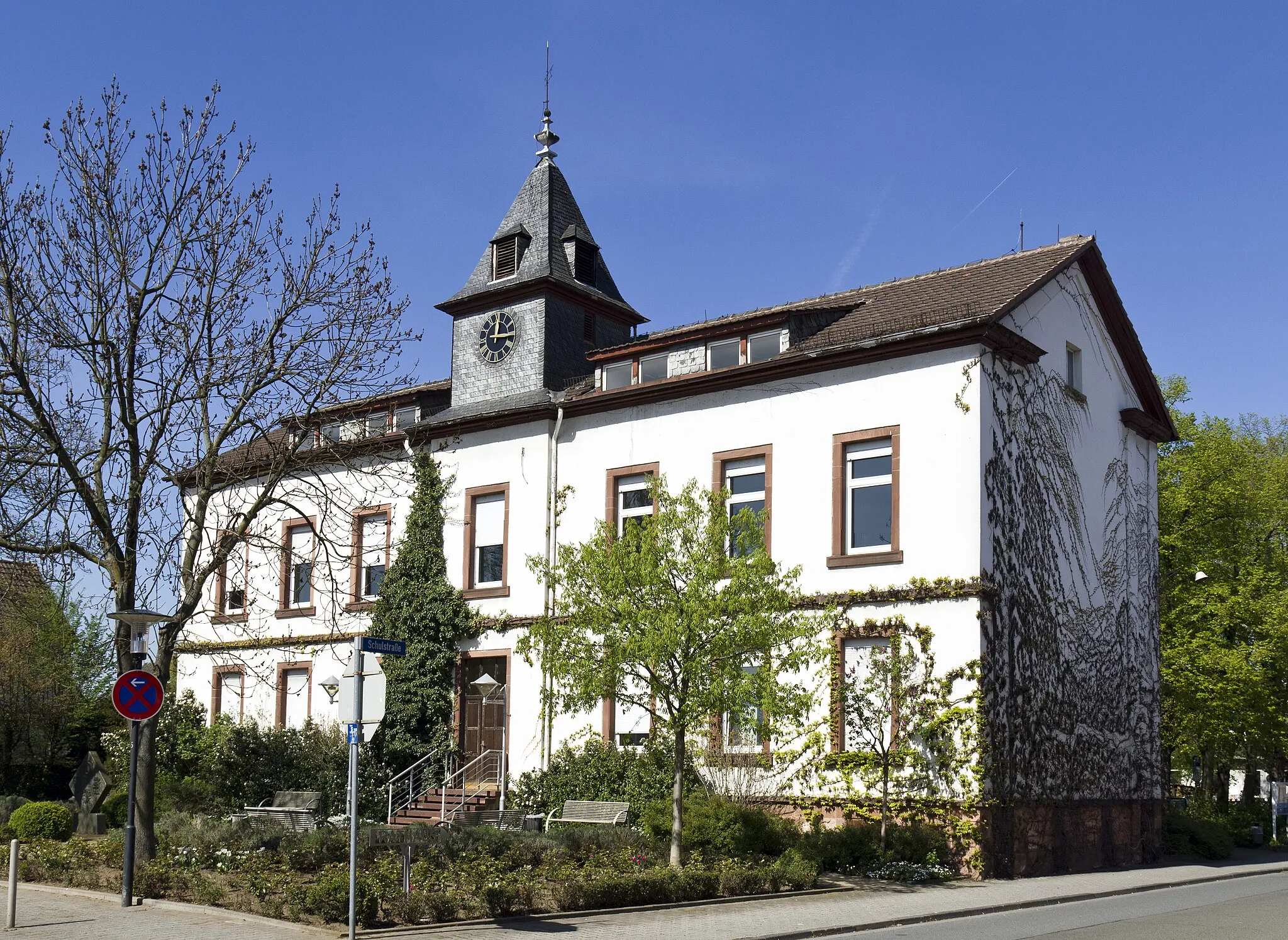
NiedSub-urbNied, located 34 kilometers from the start, is a charming village that offers a glimpse into the region's traditional culture. Explore its narrow streets and historical buildings.
35 km
35 km
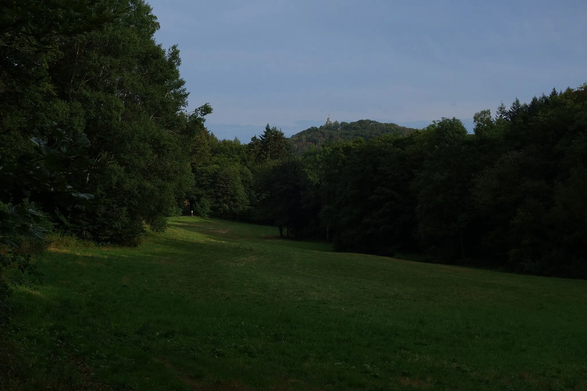
AussichtsplattformViewpointAt 35 kilometers into the route, you'll find an impressive Aussichtsplattform (viewing platform) offering panoramic views of the surrounding countryside.
40 km
40 km
ZeilsheimSub-urbZeilsheim, the final highlight of the route at 40 kilometers, is a vibrant neighborhood with plenty of cafes and restaurants to refuel after a challenging ride.
43 km
43 km
Finish: Kriftel Village centerKriftel: Enjoying diverse routes and beautiful landscapes in Kriftel
Cycling routes from Kriftel:
Cycling routes nearby: