The Gravel Adventure
A gravel cycling route starting from Niedernhausen
Embark on an exciting gravel adventure through forests and vineyards
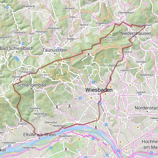
Map
This challenging gravel route takes you through picturesque landscapes, including the stunning Eltville am Rhein and the Hohe Wurzel mountain. With a total ascent of 1312m in 66km, it is suitable for experienced cyclists.
gravel
66 km
1312 m
Tough
Route profile
Highlights on the route
0 km
0 km
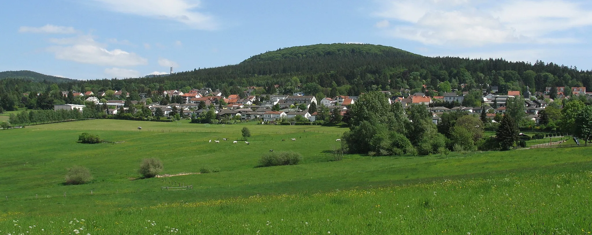
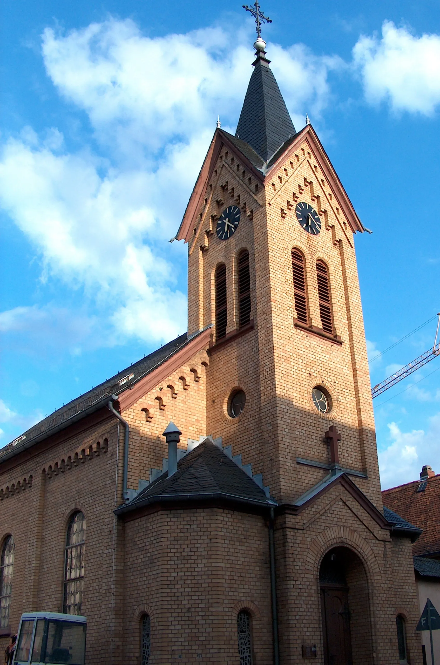
Start: Oberjosbach Village centerNiedernhausen: Enjoy diverse routes and conquer the famous Hohemark Pass in cyclist-friendly Niedernhausen.
Niedernhausen, situated in Darmstadt, Germany, is a cyclist-friendly locality offering a variety of cycling routes. The area boasts both hilly landscapes and flat plains, catering to riders of different skill levels. Notably, Niedernhausen is well-known for the Hohemark Pass, a popular climb among cyclists. This challenging ascent rewards riders with stunning views of the surrounding nature. Besides the Hohemark Pass, Niedernhausen provides numerous scenic roads and charming villages that make cycling in the area enjoyable for both road and gravel cyclists.7 km
7 km
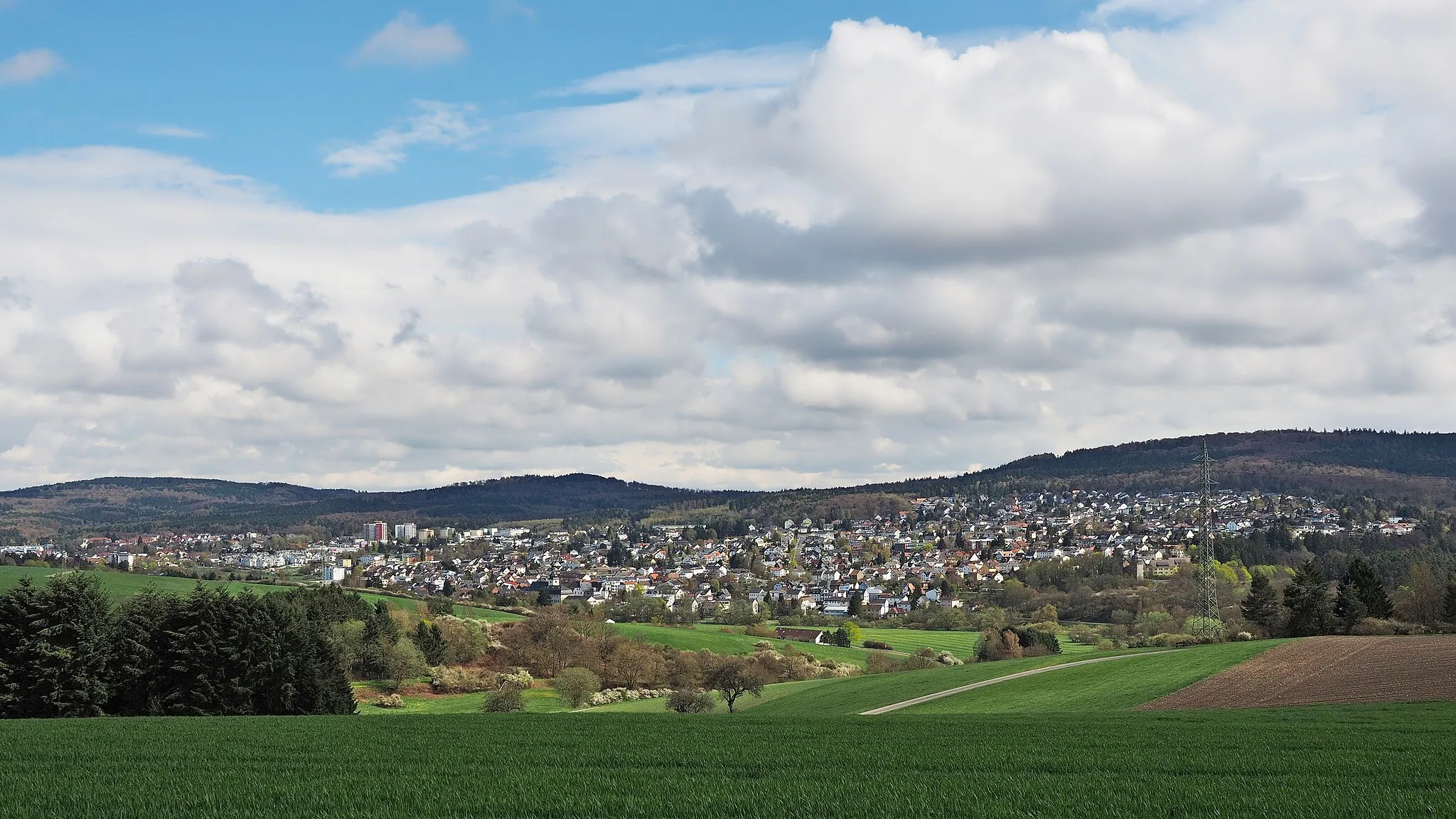
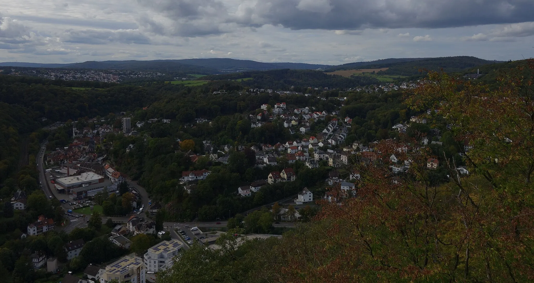
Kellerskopf474 mPeakLocated at the 7th kilometer of the route, Kellerskopf offers breathtaking views of the surrounding region.
12 km
12 km
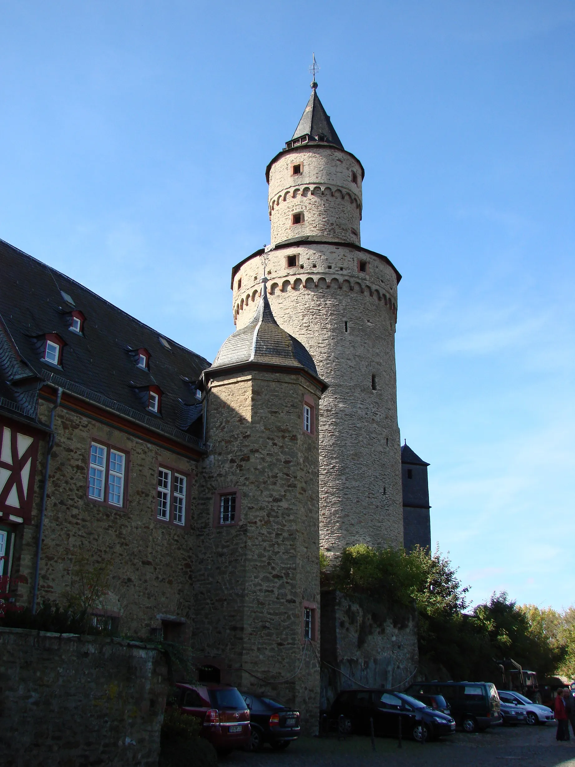
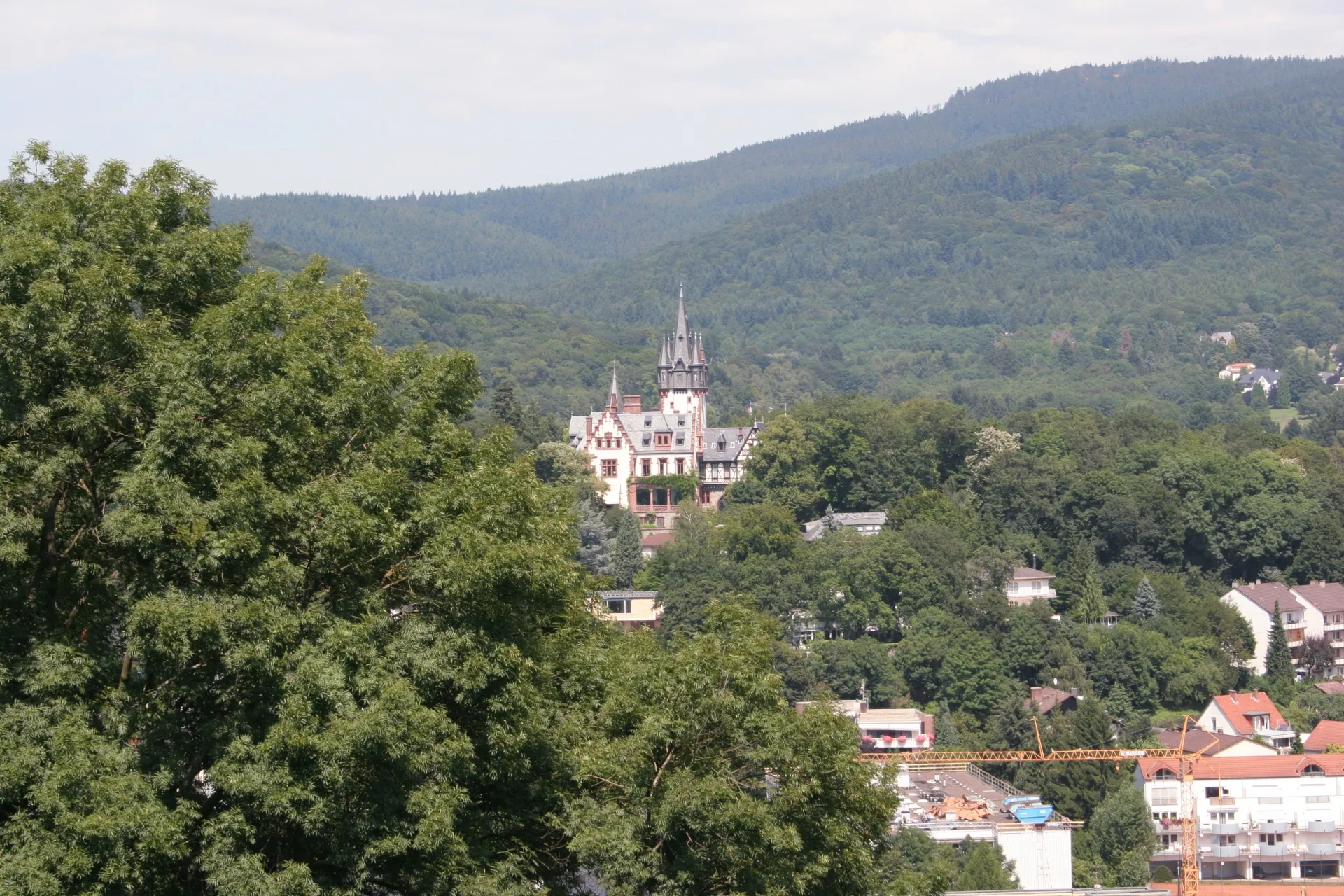
SonnenbergCastleSituated at the 12th kilometer, Sonnenberg is famous for its historic buildings and beautiful vineyards.
29 km
29 km
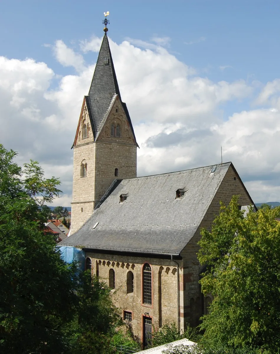
Eltville am RheinTownAt 29 kilometers, Eltville am Rhein awaits with its charming old town and the enchanting Rhine River.
43 km
43 km
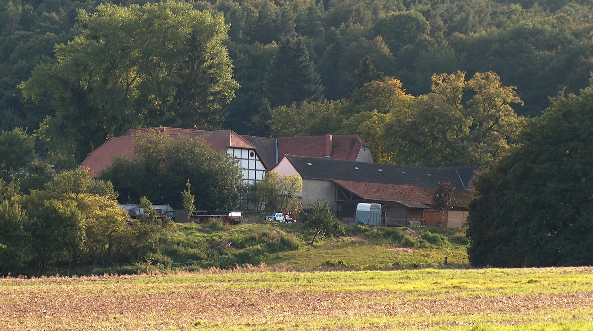
WambachVillageLocated at the 43rd kilometer, Wambach is known for its lush green landscapes and relaxing atmosphere.
46 km
46 km
Hohe Wurzel618 mPeakAt the 46th kilometer, Hohe Wurzel offers panoramic views and is a popular spot among hikers and cyclists.
54 km
54 km
Jagdschloss PlatteCastleSituated at the 54th kilometer, Jagdschloss Platte is a historic hunting lodge and offers a unique architectural experience.
58 km
58 km
Hohe Kanzel591 mPeakAt the 58th kilometer, Hohe Kanzel provides stunning views of the Taunus mountains.
64 km
64 km
Eselskopf-HütteShelterLocated at the 64th kilometer, Eselskopf-Hütte is a cozy mountain hut where cyclists can take a break.
66 km
66 km
Großer Lindenkopf499 mPeakSituated at the 66th kilometer, Großer Lindenkopf boasts beautiful forests and meadows, perfect for a peaceful ride.
66 km
66 km
Finish: Oberjosbach Village centerNiedernhausen: Enjoy diverse routes and conquer the famous Hohemark Pass in cyclist-friendly Niedernhausen.
Cycling routes nearby: