The Butzbach Challenge
A road cycling route starting from Ober-Morlen
An adventurous ride through hilly landscapes
Map
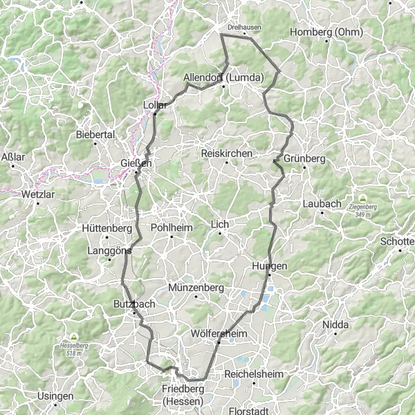
The Butzbach Challenge is a road cycling route starting near Ober-Mörlen, offering an adventurous ride for those seeking a challenge. Covering a distance of 119 kilometers with 1090 meters of ascent, this route takes cyclists through the rolling hills and charming towns of the region. With its moderate difficulty level and beautiful landscapes, it is a memorable ride for dedicated cyclists.
road
119 km
1090 m
Tough
Route profile
Highlights on the route
0 km
0 km
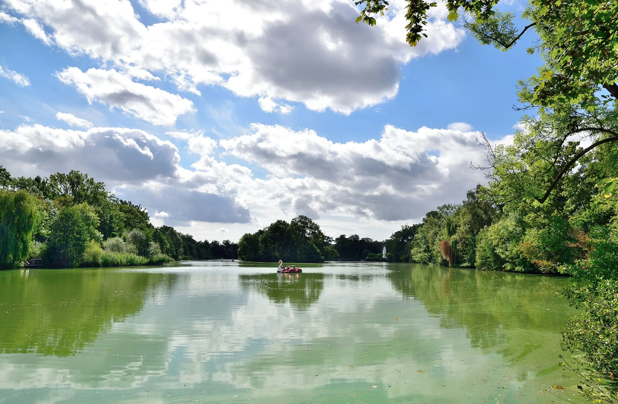
Start: Ober-Mörlen Village centerOber-Mörlen: Cycling through the tranquil countryside of Darmstadt.
Ober-Mörlen, located in the Darmstadt region of Germany, is a moderately suitable locality for road and gravel cyclists. The area offers some quiet country roads surrounded by fields and forests. It is a relatively flat region, so cyclists looking for more challenging climbs may be disappointed. However, Ober-Mörlen is located close to the Vogelsberg Nature Park, which has some hilly terrains and beautiful landscapes for exploration. Overall, Ober-Mörlen provides a peaceful cycling experience in a scenic natural setting.8 km
8 km
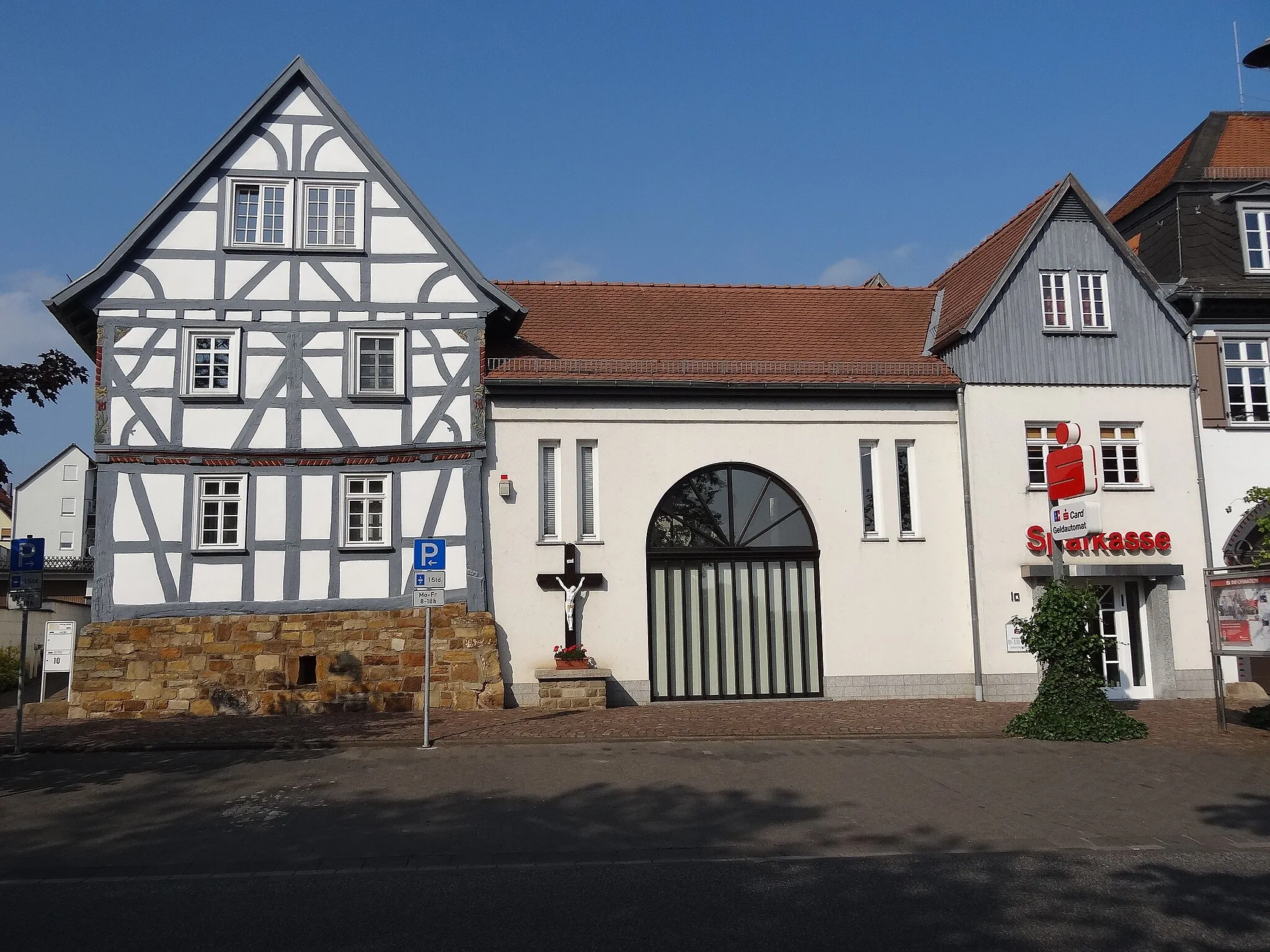
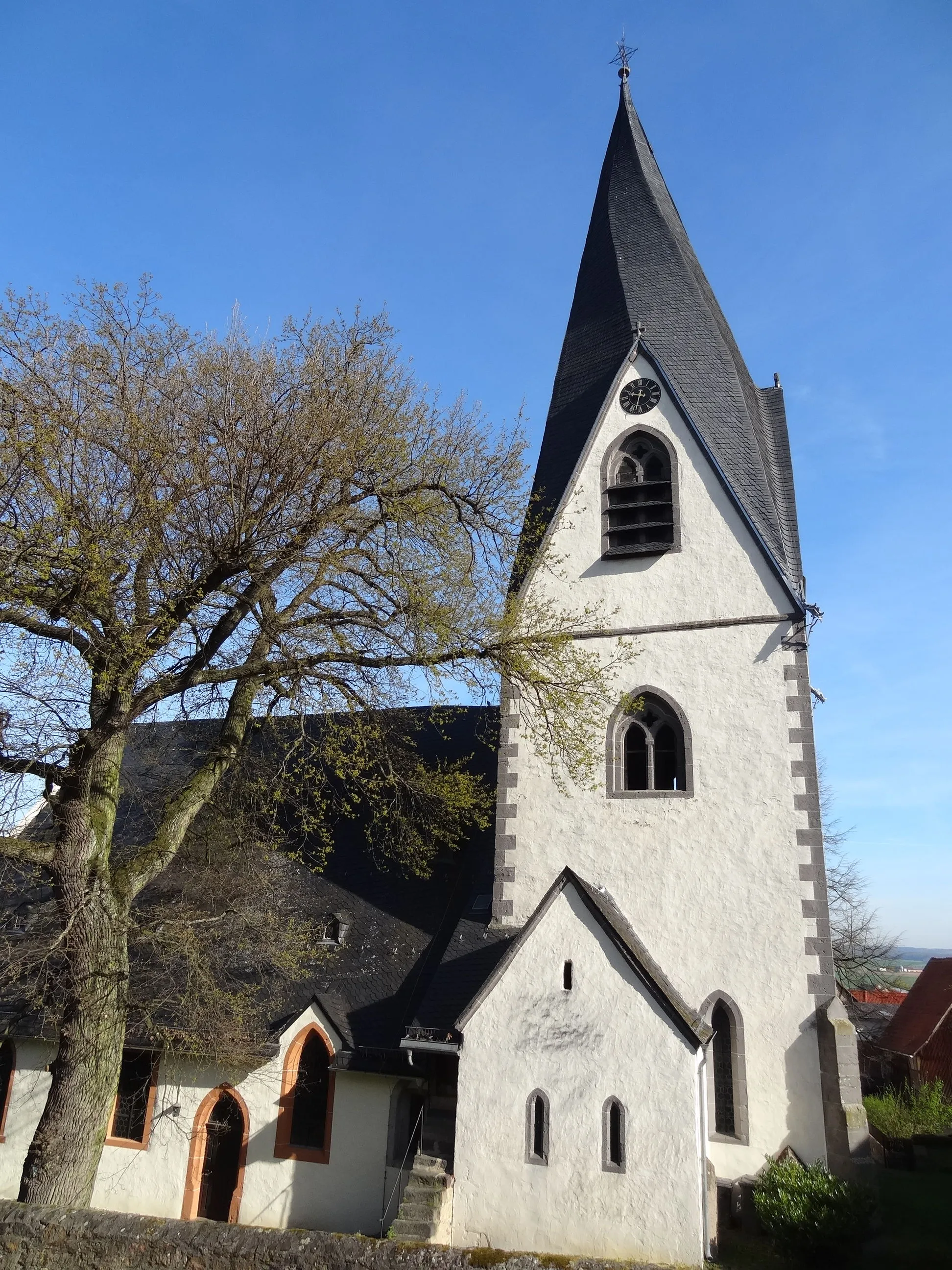
ButzbachTownButzbach: Explore the historic old town and its well-preserved medieval fortifications.
28 km
28 km
GießenTownGießen: Visit the university city with its vibrant student atmosphere and beautiful parks.
37 km
37 km
LollarTownLollar: Cycle along the Lumbach Dam and enjoy beautiful views of the surrounding countryside.
45 km
45 km
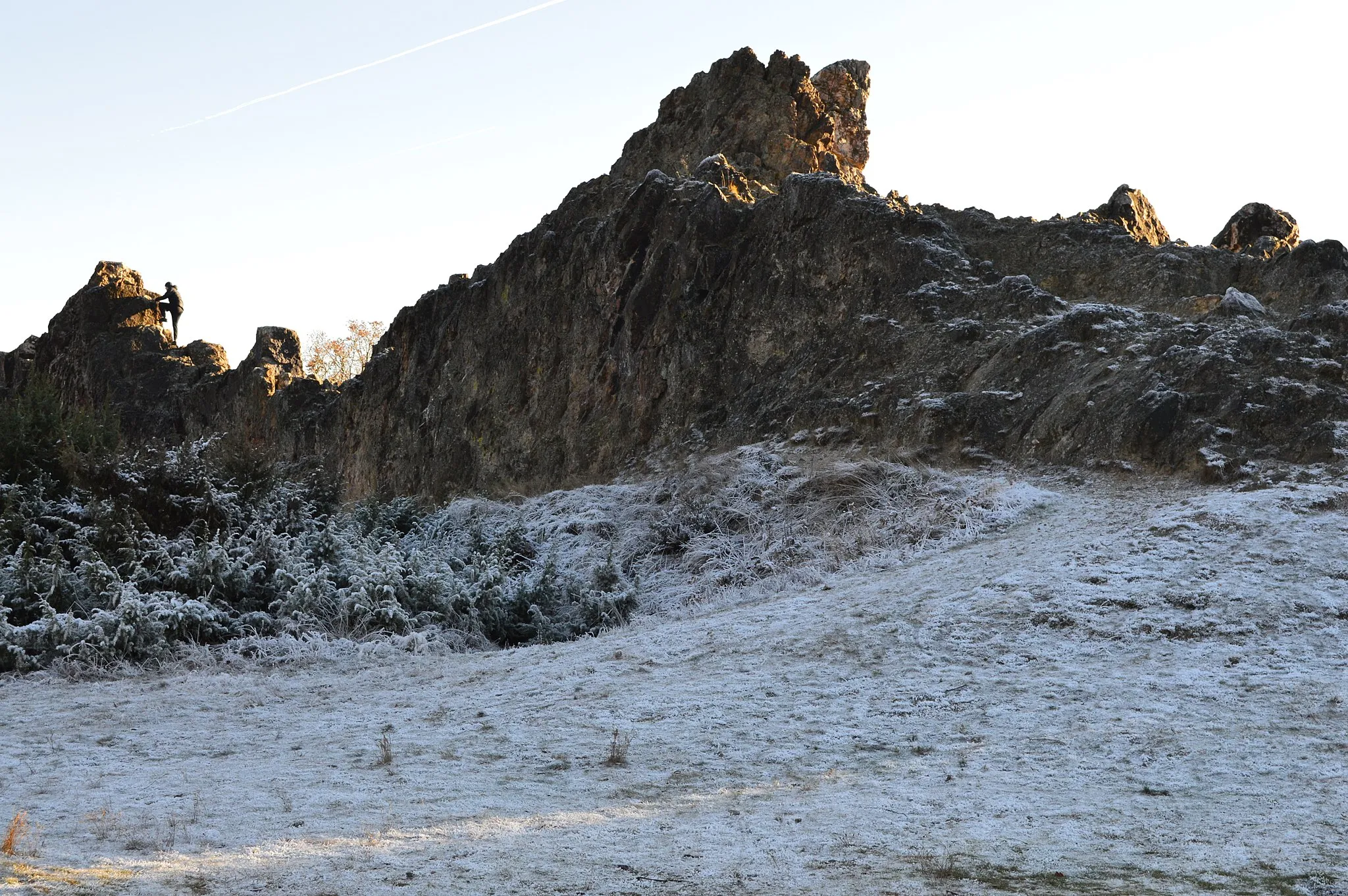
Totenberg360 mPeakTotenberg: Challenge yourself with the steep slopes of this hill, rewarded with stunning vistas.
55 km
55 km
Gebrannter Berg313 mPeakGebrannter Berg: Experience the thrill of the scenic descent after conquering this challenging climb.
66 km
66 km
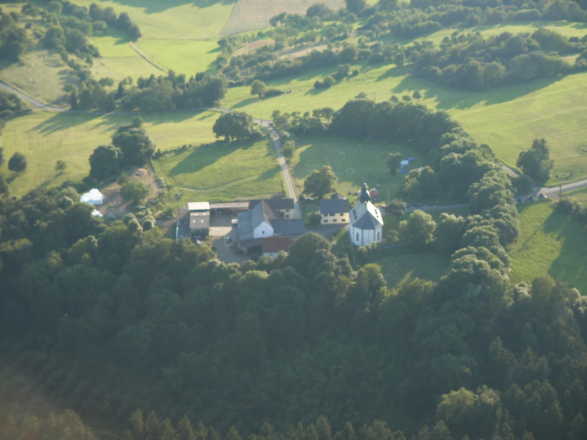
Odenhausen (Lumda)VillageOdenhausen (Lumda): Enjoy the serenity of this small village surrounded by fields and meadows.
76 km
76 km
GöbelnrodVillageGöbelnrod: Marvel at the panoramic views from the hilltop and explore the picturesque old town.
93 km
93 km
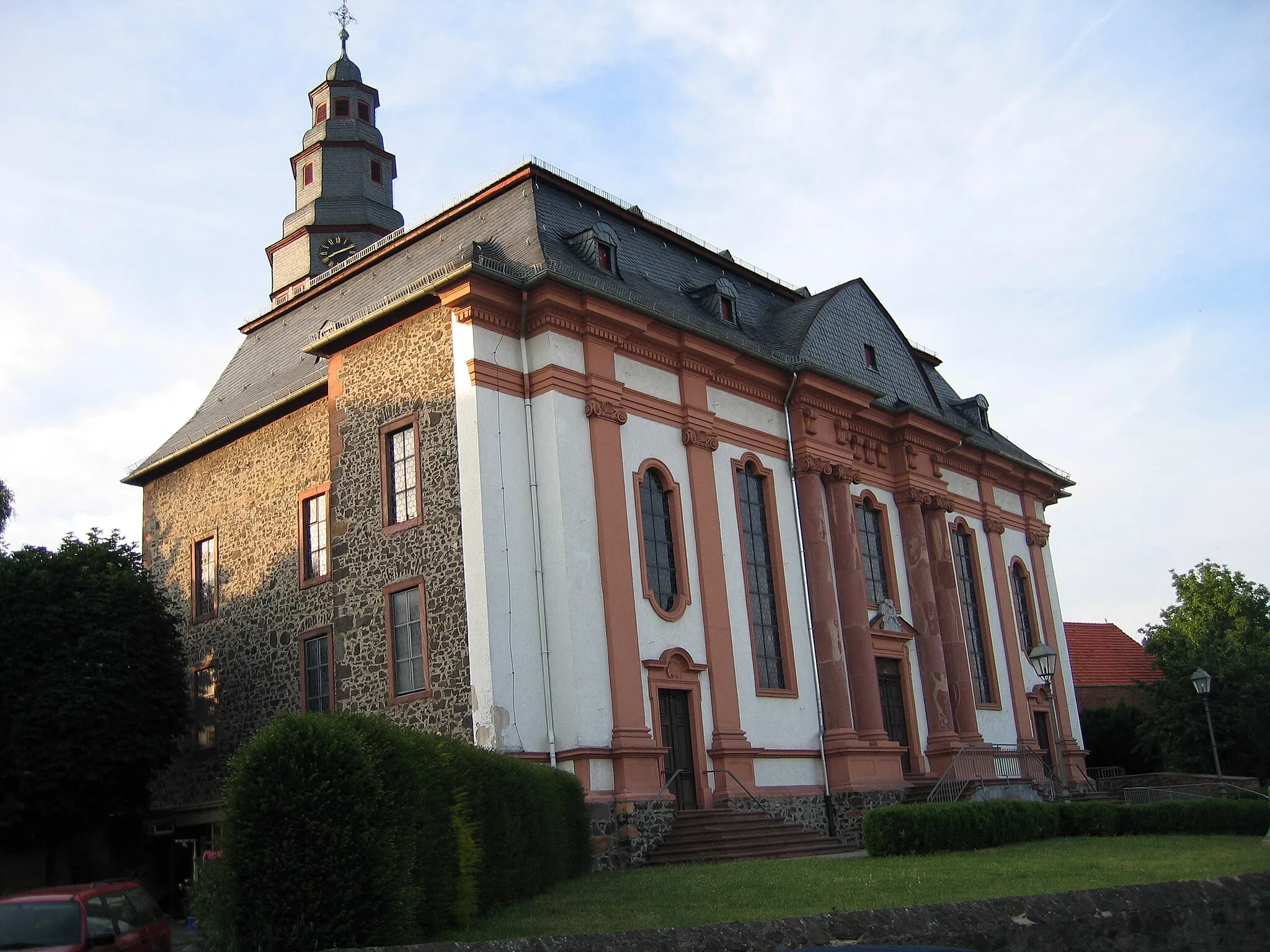
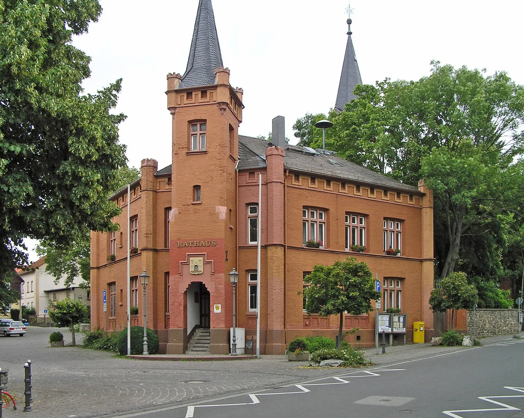
HungenTownHungen: Discover the rich history, including charming half-timbered houses and a medieval castle.
115 km
115 km
Bad NauheimTownBad Nauheim: Indulge in relaxation and well-being in the famous spa town.
116 km
116 km
Johannisberg264 mPeakJohannisberg: Enjoy the scenic beauty of the vineyards and savor the local wines.
119 km
119 km
Finish: Ober-Mörlen Village centerOber-Mörlen: Cycling through the tranquil countryside of Darmstadt.
Cycling routes nearby: