Taunus Landscape Ride
A gravel cycling route starting from Oberursel
Experience the diverse landscapes of the Taunus region on this gravel cycling adventure.
Map
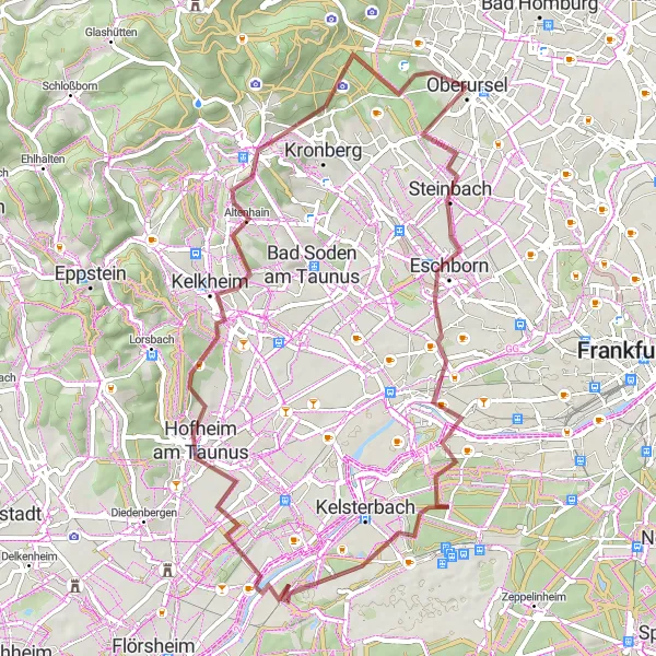
The Taunus Landscape Ride is a 64-kilometer long gravel route that showcases the beauty of the Taunus region. With an ascent of 689 meters, the route offers a moderate challenge for gravel cyclists. Along the way, you will encounter highlights such as Steinbach, Streitplacken, Nied, Aussichtsplattform, Hofheim am Taunus, Meisterturm, Schloss Friedrichshof, Hünerberg, and Schillerturm.
gravel
64 km
689 m
Tough
Route profile
Highlights on the route
0 km
0 km
Start: Oberursel City centerOberursel: Scenic Cycling in Oberursel
Oberursel is a lively locality located in Darmstadt, Germany. From a cyclist's perspective, Oberursel offers a mix of urban and suburban cycling opportunities. The locality has a well-developed cycling infrastructure, with dedicated cycling paths and marked lanes on the roads. Cyclists can explore the vibrant town center, enjoy scenic rides along the banks of rivers, or venture into the surrounding countryside for a more tranquil cycling experience. Oberursel is also within close proximity to the Taunus Mountains, offering cyclists challenging climbs and panoramic views. Overall, Oberursel is a cyclist-friendly destination with a variety of cycling routes catering to different preferences and skill levels.5 km
5 km
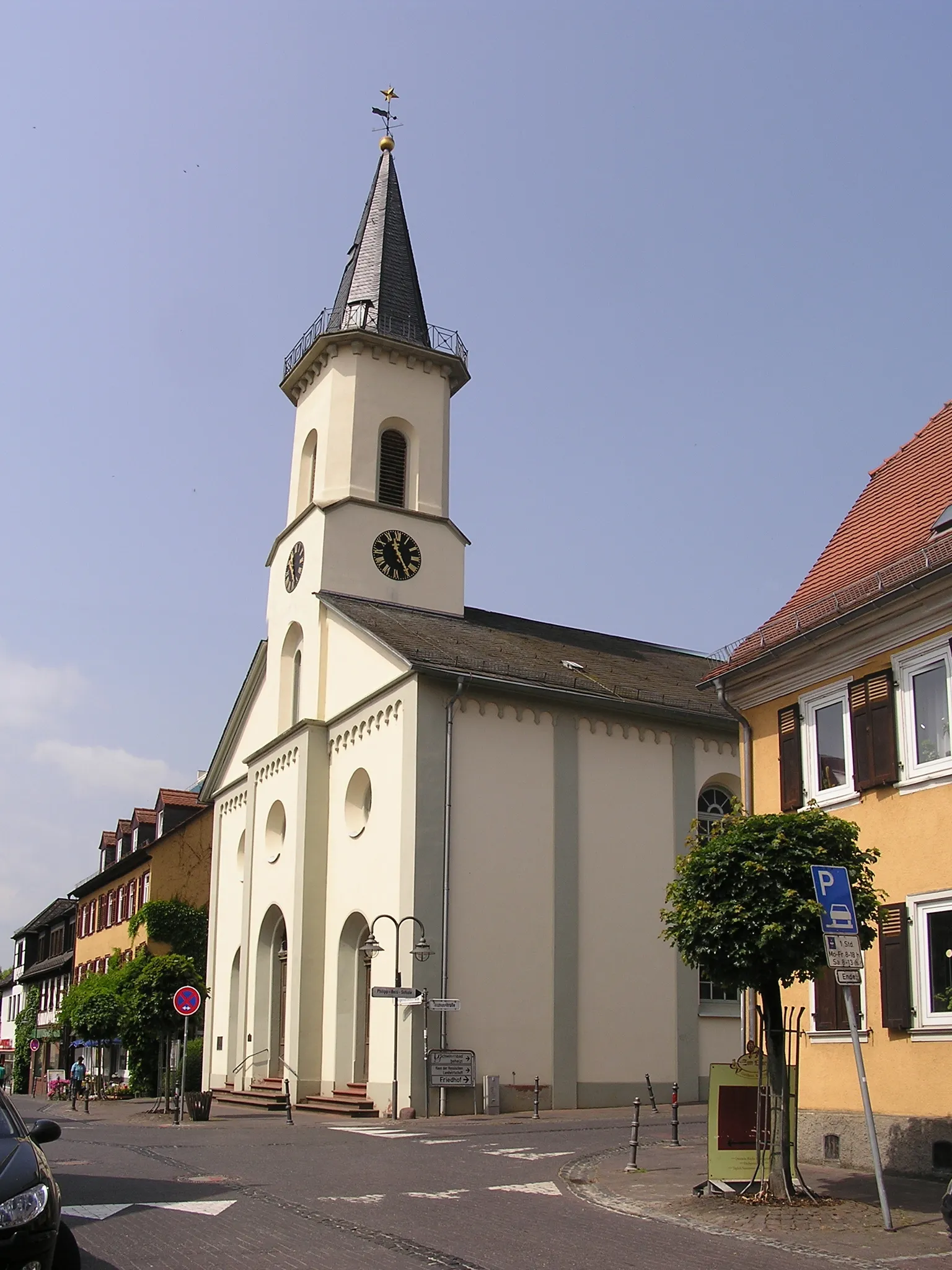
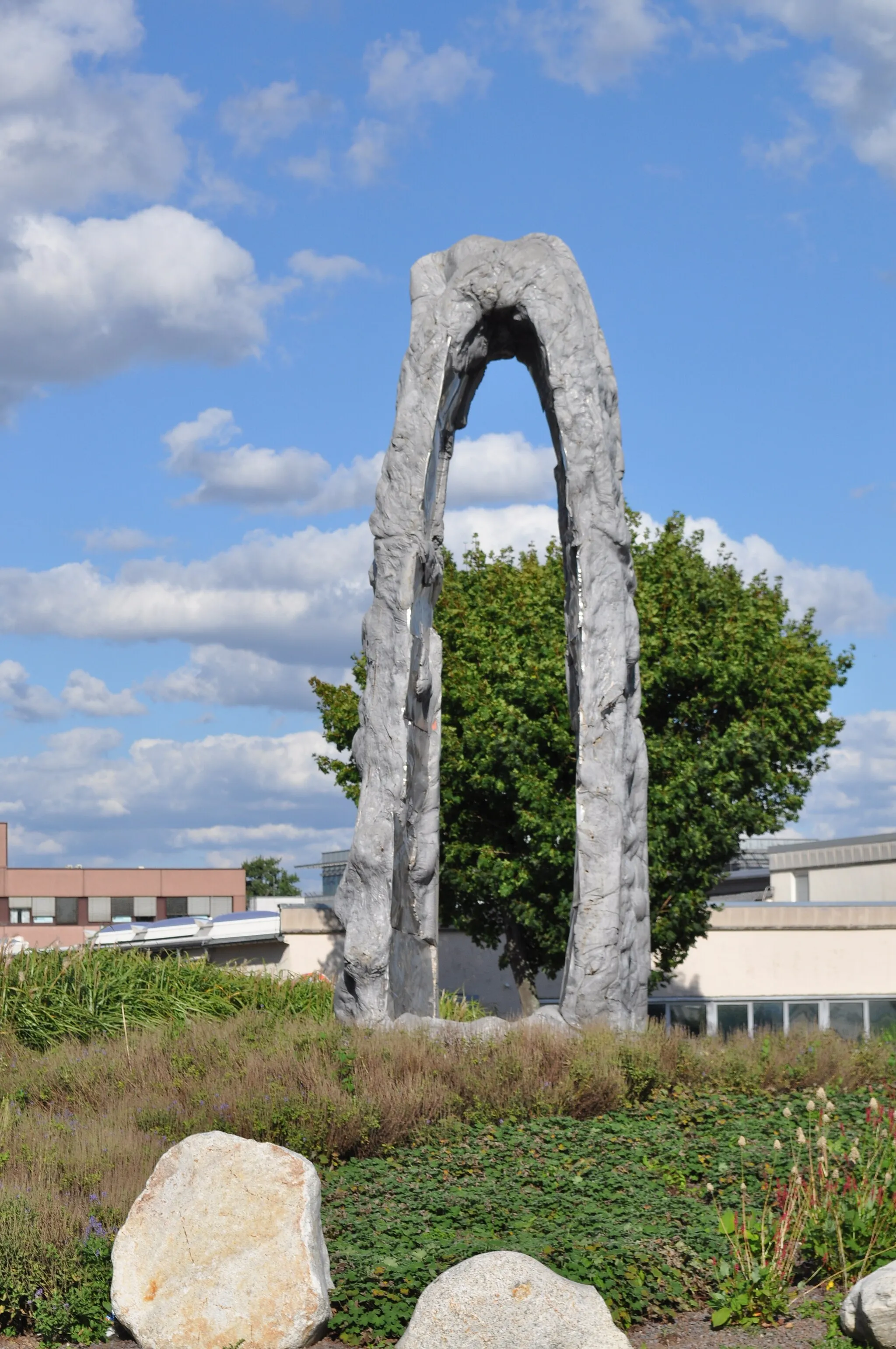
SteinbachTownSteinbach is a charming village with quaint houses and beautiful gardens.
6 km
6 km
StreitplackenViewpointStreitplacken offers stunning views of the surrounding forests and hills.
14 km
14 km
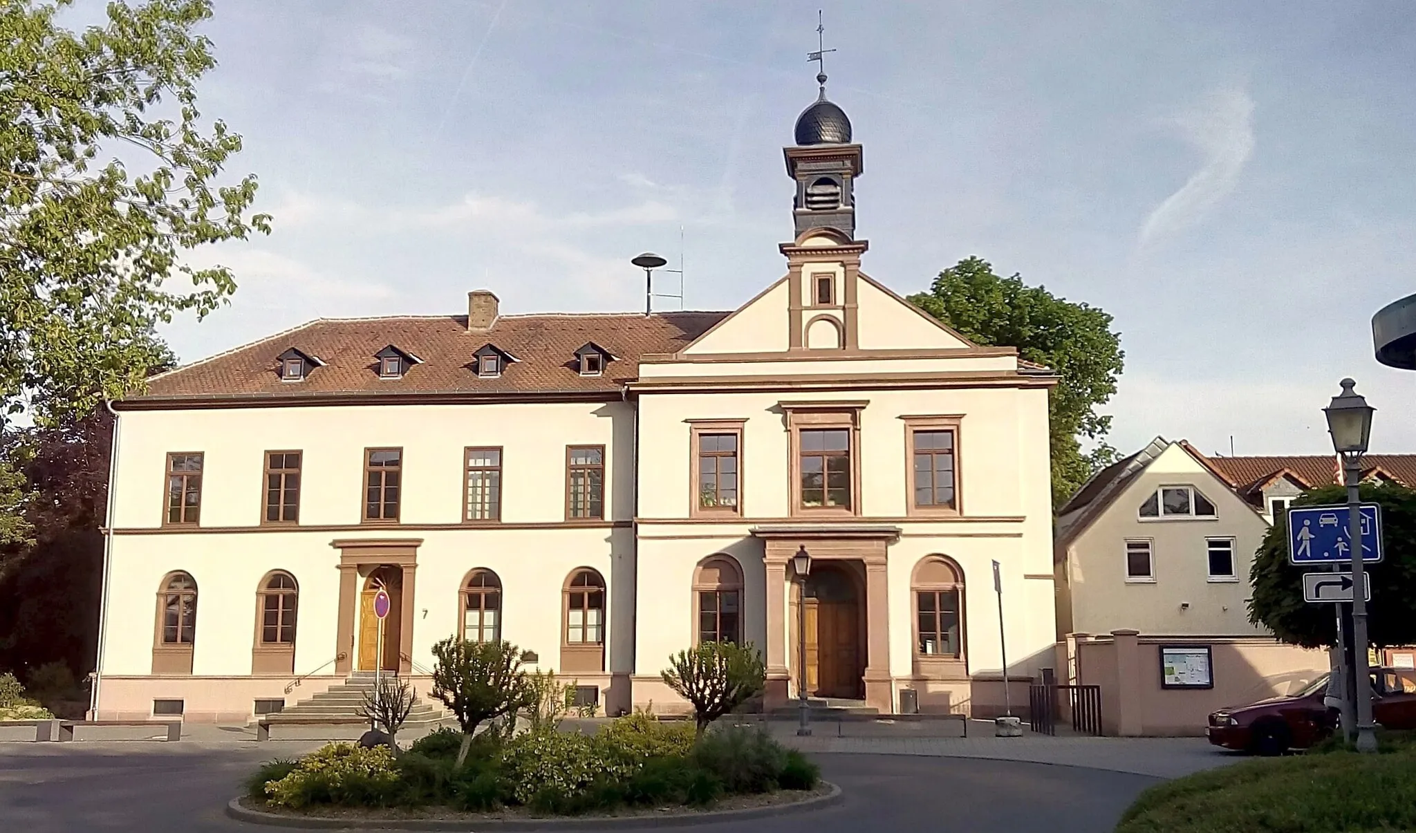
NiedSub-urbNied is a historic district with picturesque streets and lovely green spaces.
25 km
25 km
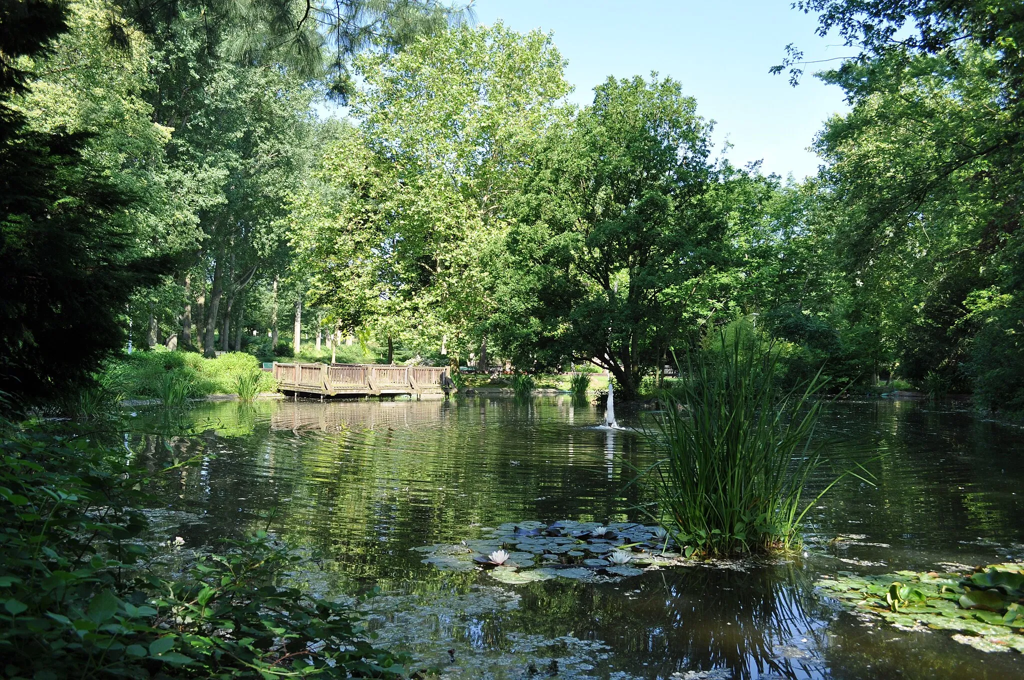
AussichtsplattformViewpointAussichtsplattform is an observation platform that provides panoramic views of the Taunus landscapes.
39 km
39 km
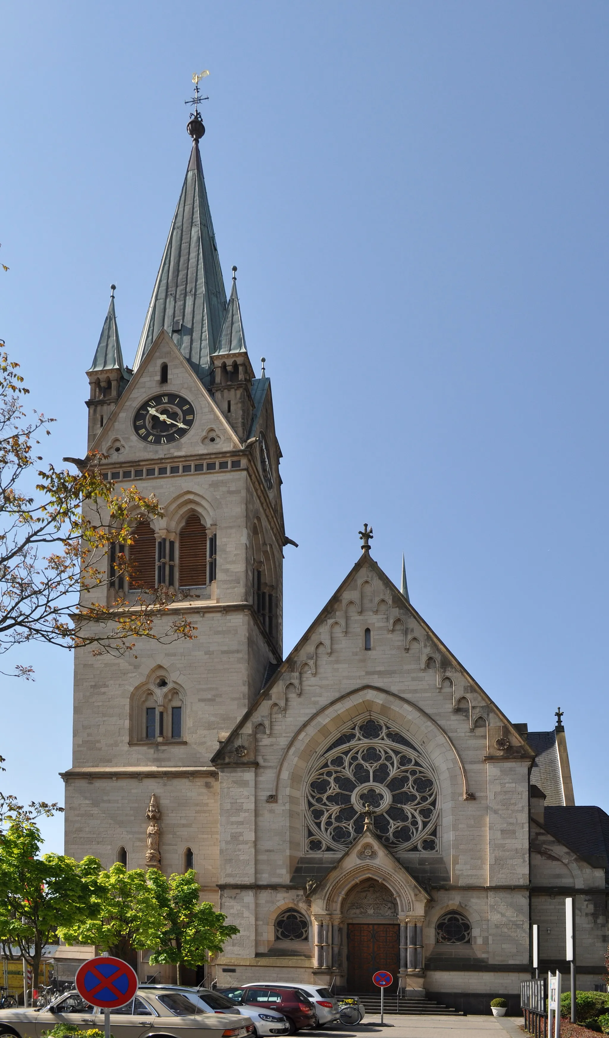
Hofheim am TaunusTownHofheim am Taunus is a charming town known for its half-timbered houses and cozy cafes.
41 km
41 km
MeisterturmViewpointMeisterturm is a historic tower that offers stunning views of the surrounding area.
56 km
56 km
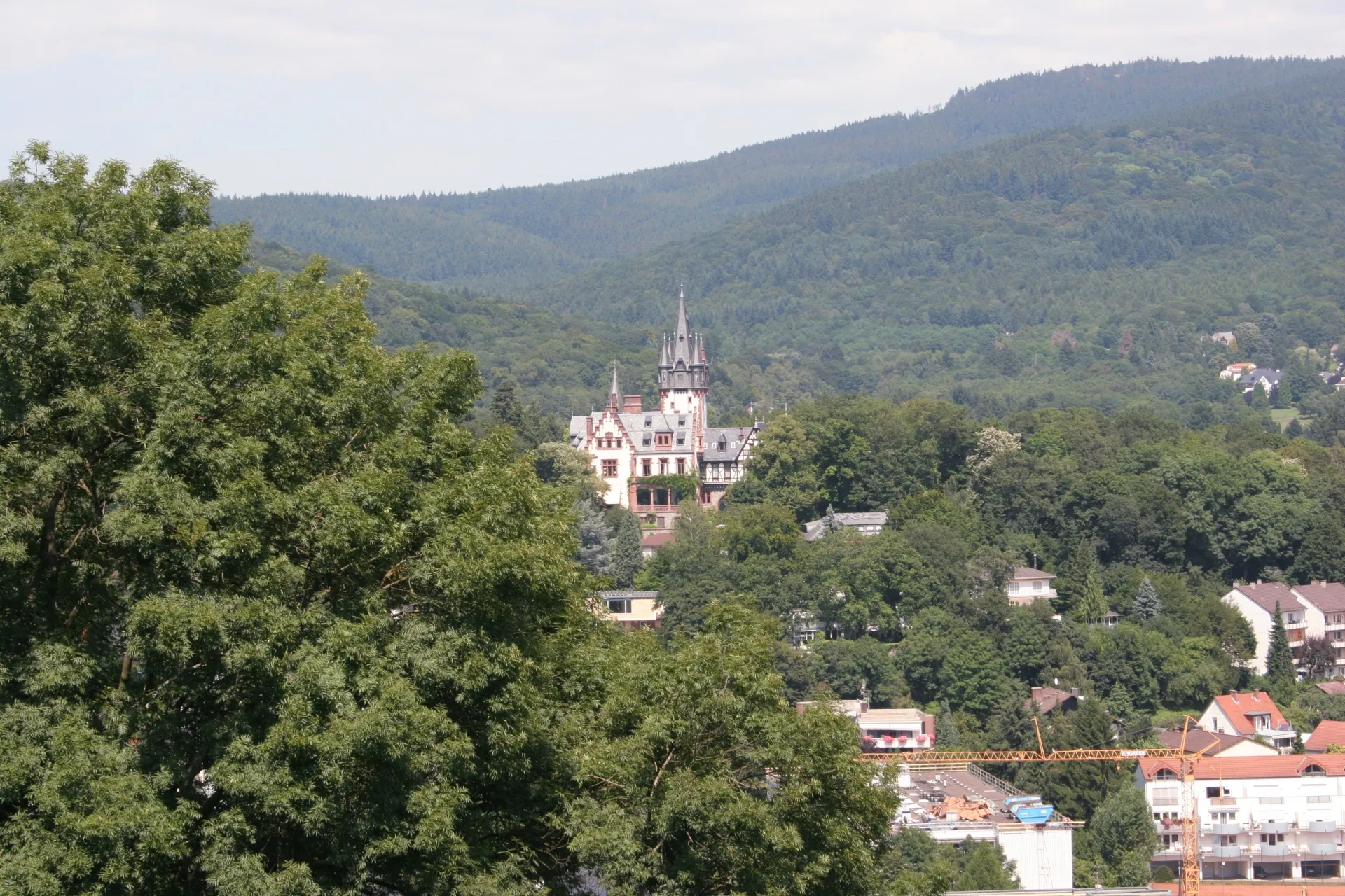
Schloss FriedrichshofCastleSchloss Friedrichshof is a magnificent palace surrounded by beautiful gardens.
57 km
57 km
Hünerberg375 mViewpointHünerberg is a scenic hill with beautiful meadows and forests.
62 km
62 km
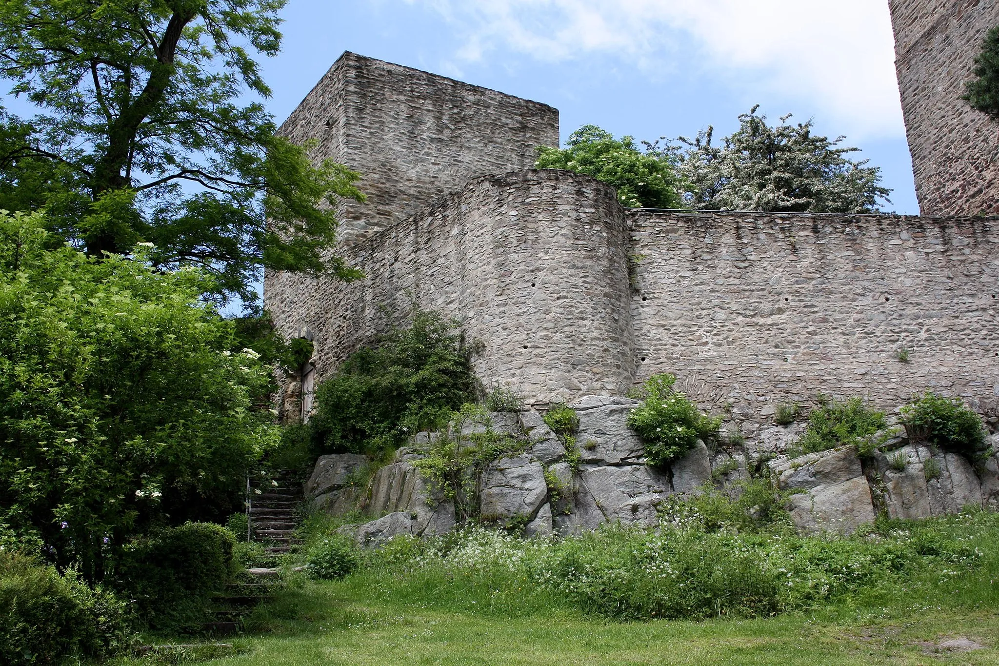
SchillerturmCastle RuinsSchillerturm is a historic tower located on top of a hill, offering stunning views of the surrounding area.
64 km
64 km
Finish: Oberursel City centerOberursel: Scenic Cycling in Oberursel
Cycling routes nearby: