Scenic Road Loop
A road cycling route starting from Schmitten
A picturesque road route offering stunning views and cultural highlights
Map

Discover the beauty of the Taunus region with this 54km scenic road loop. Starting near Schmitten, this route features an ascent of 1063 meters, making it suitable for well-trained amateurs. Highlights along the way include Kolbenberg, Sulzbach, and Niederreifenberg. Marvel at the stunning vistas from Kolbenberg, explore the charming town of Sulzbach, and immerse yourself in the rich cultural heritage of Niederreifenberg. This road loop offers a perfect mix of natural beauty and cultural attractions, making it an ideal choice for cyclists seeking both adventure and cultural enrichment.
road
54 km
1063 m
Chill
Route profile
Highlights on the route
0 km
0 km
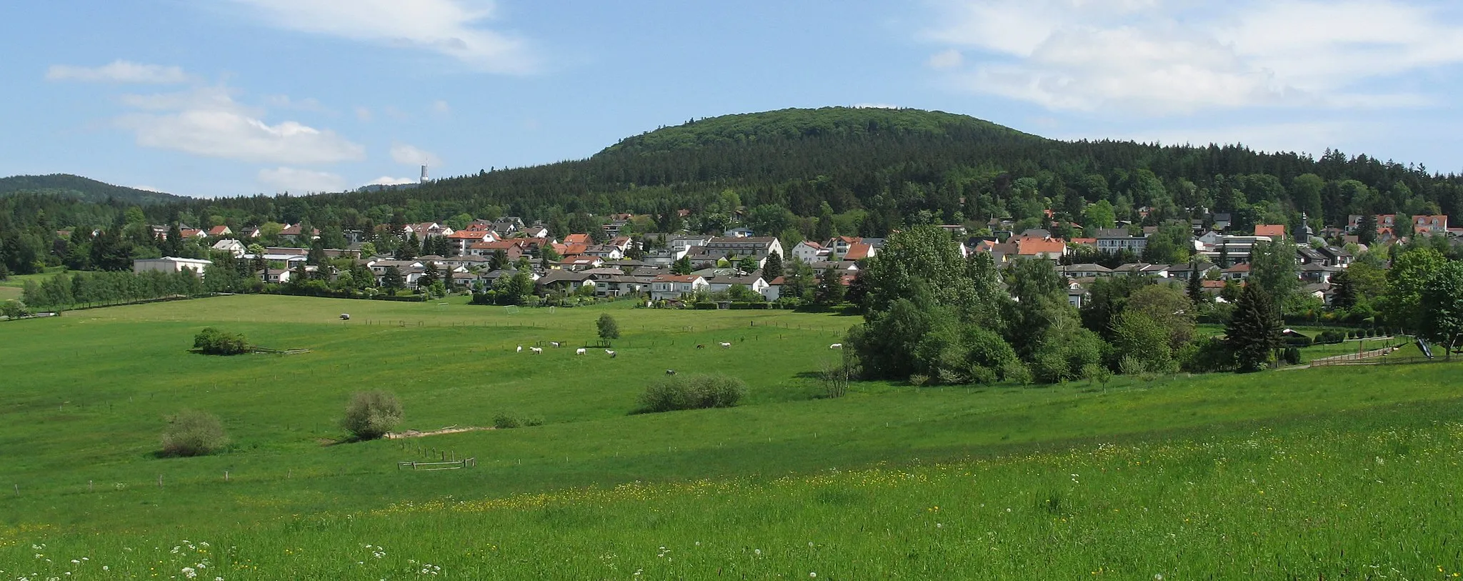
Start: Arnoldshain Village centerSchmitten: Discovering Nature's Beauty on Two Wheels in Schmitten
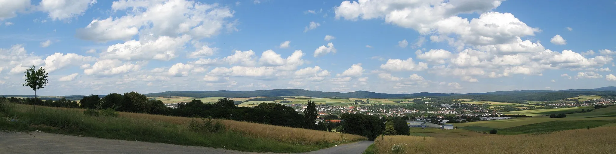
Schmitten is a peaceful locality located in the Darmstadt region of Germany. From a cyclist's perspective, Schmitten offers a mix of terrain, including flat stretches and gentle hills suitable for different skill levels. The locality is surrounded by beautiful forests, providing a tranquil and scenic atmosphere for cyclists. Although there are no famous cycling-related spots or climbs nearby, Schmitten serves as a good base for exploring the surrounding nature on two wheels. Overall, Schmitten is a decent cycling-friendly area with picturesque landscapes and enjoyable routes.4 km
4 km
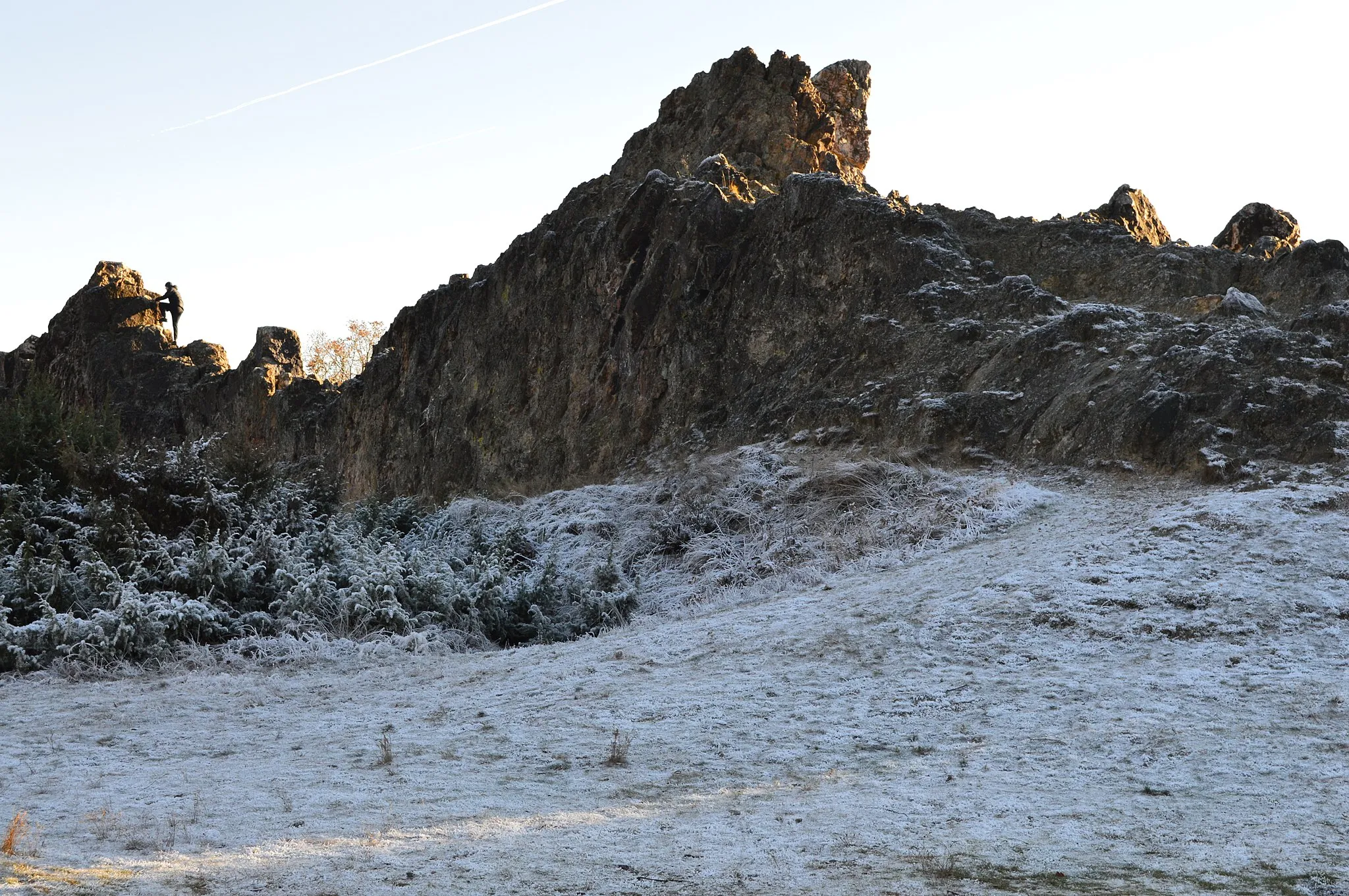
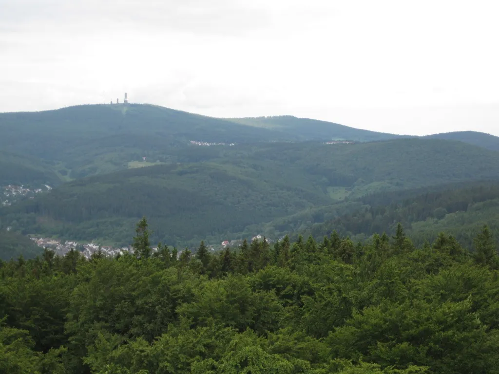
Kolbenberg684 mPeakKolbenberg: Prepare to be awe-struck by the panoramic views of the Taunus landscape from this viewpoint. Don't forget to capture some memorable photos to document your journey.
10 km
10 km
Heidetränk-OppidumAttractionHeidetränk-Oppidum: Step back in time at this ancient Celtic fortress. Explore the archaeological site and imagine the vibrant past that once inhabited these hills.
24 km
24 km
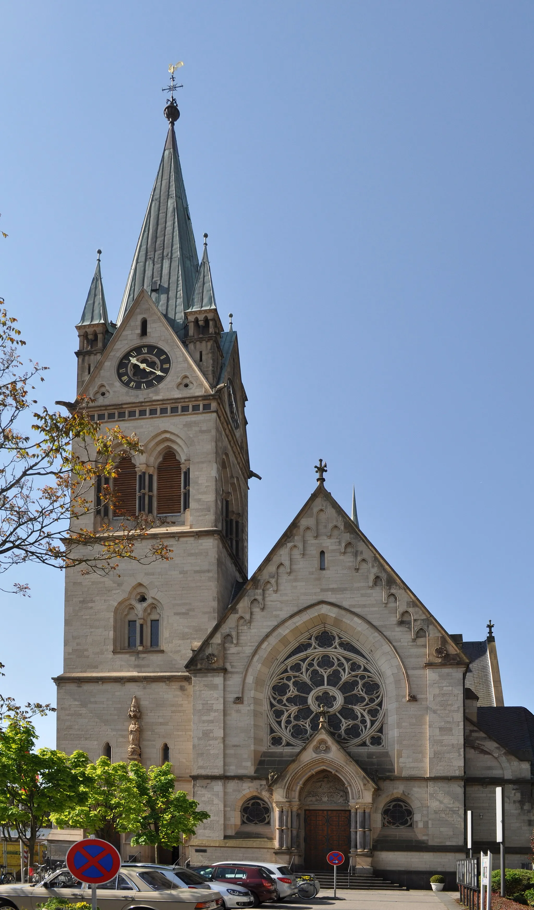
SulzbachVillageSulzbach: This charming town is known for its well-preserved half-timbered houses and delightful cafes. Take a leisurely wander through the streets and soak in the ambiance of this idyllic setting.
27 km
27 km
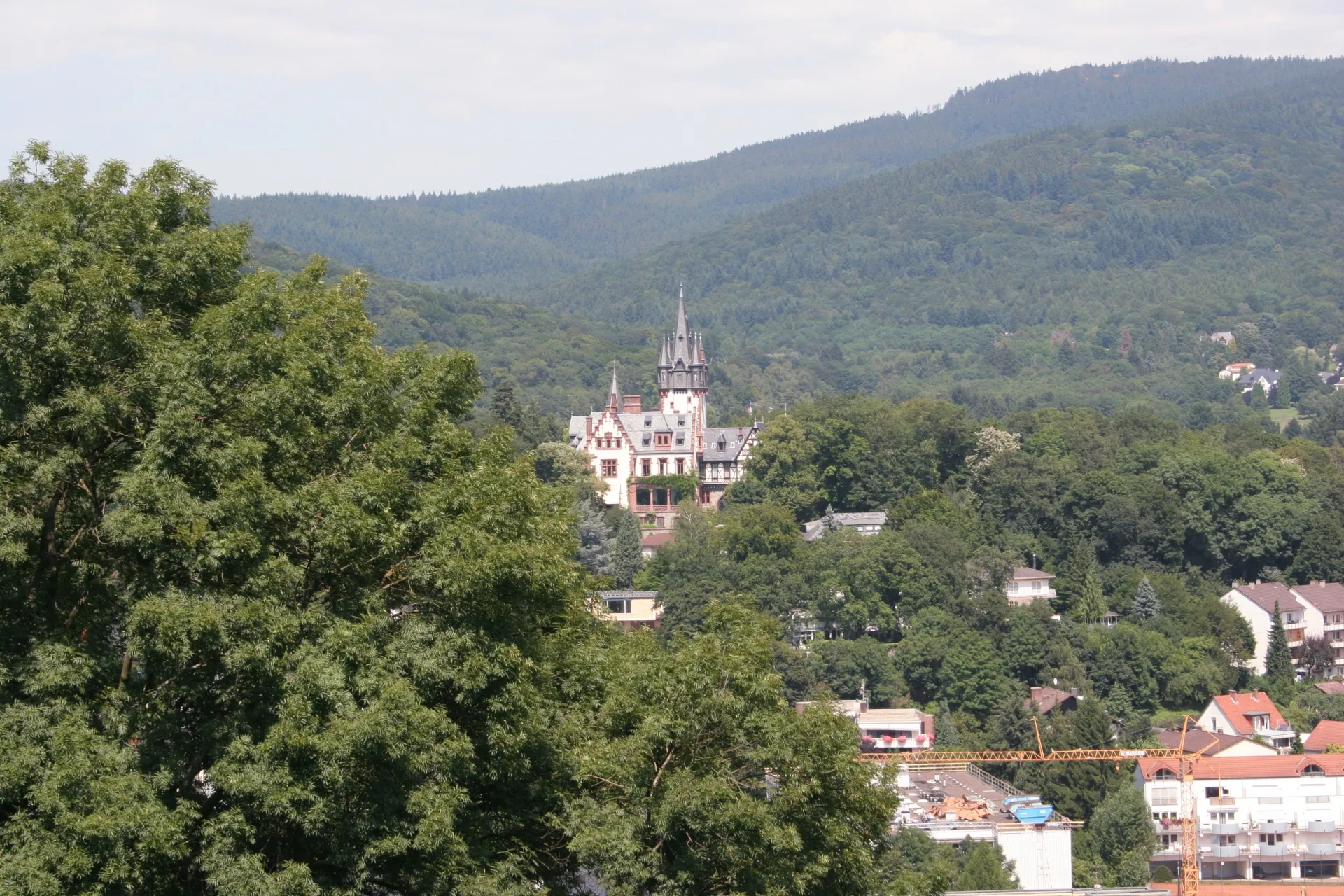
WasserturmViewpointWasserturm: This water tower not only offers a unique architectural sight but also provides a panoramic view of the surrounding landscapes. Climb to the top and enjoy the beauty of Taunus from above.
41 km
41 km
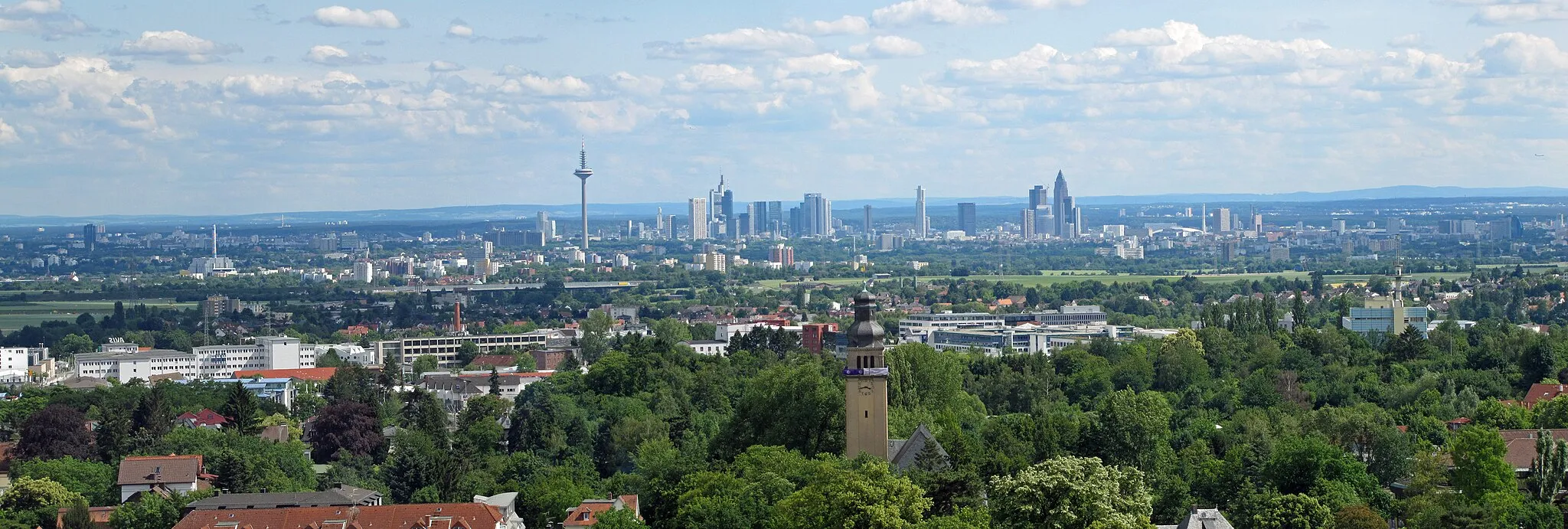
Platte405 mPeakPlatte: Set atop the Hochtaunus Nature Park, this popular viewpoint offers panoramic vistas of the region. Take a moment to enjoy the breathtaking beauty of nature and deepen your connection with the Taunus landscape.
41 km
41 km
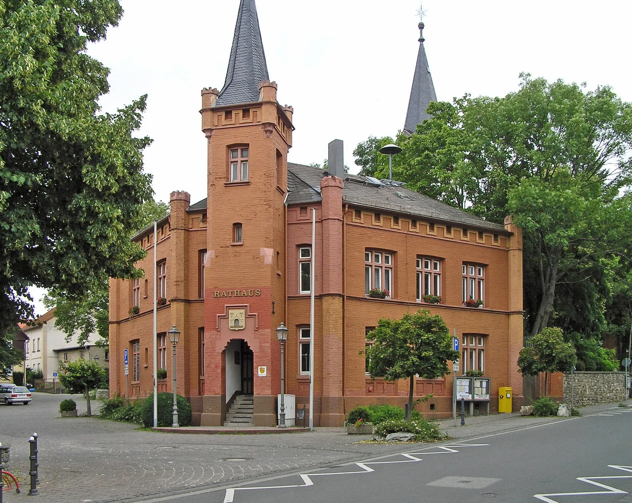
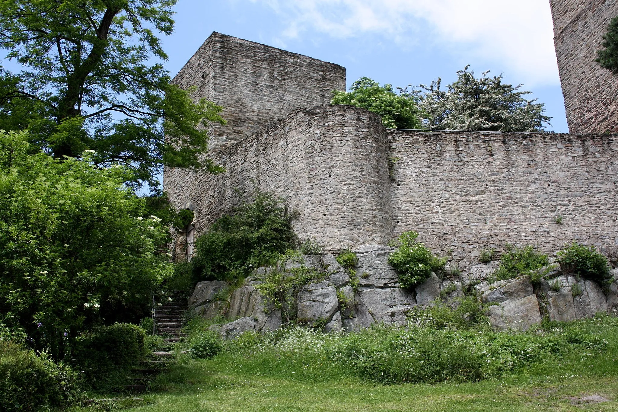
SchloßbornVillageSchloßborn: Delve into the history of the region with a visit to this medieval castle. Explore the fortifications and learn about the tumultuous past of this architectural treasure.
50 km
50 km
NiederreifenbergVillageNiederreifenberg: Immerse yourself in the charming beauty of this historical village. With its traditional architecture and rich cultural heritage, it's worth taking the time to explore the streets and absorb the local atmosphere.
53 km
53 km
Sängelberg665 mPeakSängelberg: Traverse this scenic hillside, surrounded by lush greenery and rolling hills. Take a moment to appreciate the natural beauty of this area and capture some Instagram-worthy shots.
54 km
54 km
Finish: Arnoldshain Village centerSchmitten: Discovering Nature's Beauty on Two Wheels in Schmitten
Cycling routes nearby: