Zittau and Surroundings
A gravel cycling route starting from Olbersdorf
Explore the picturesque landscape around Zittau
Map
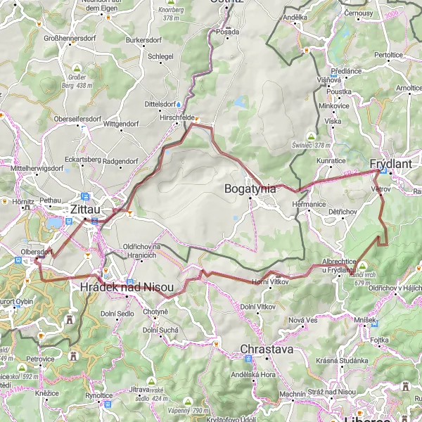
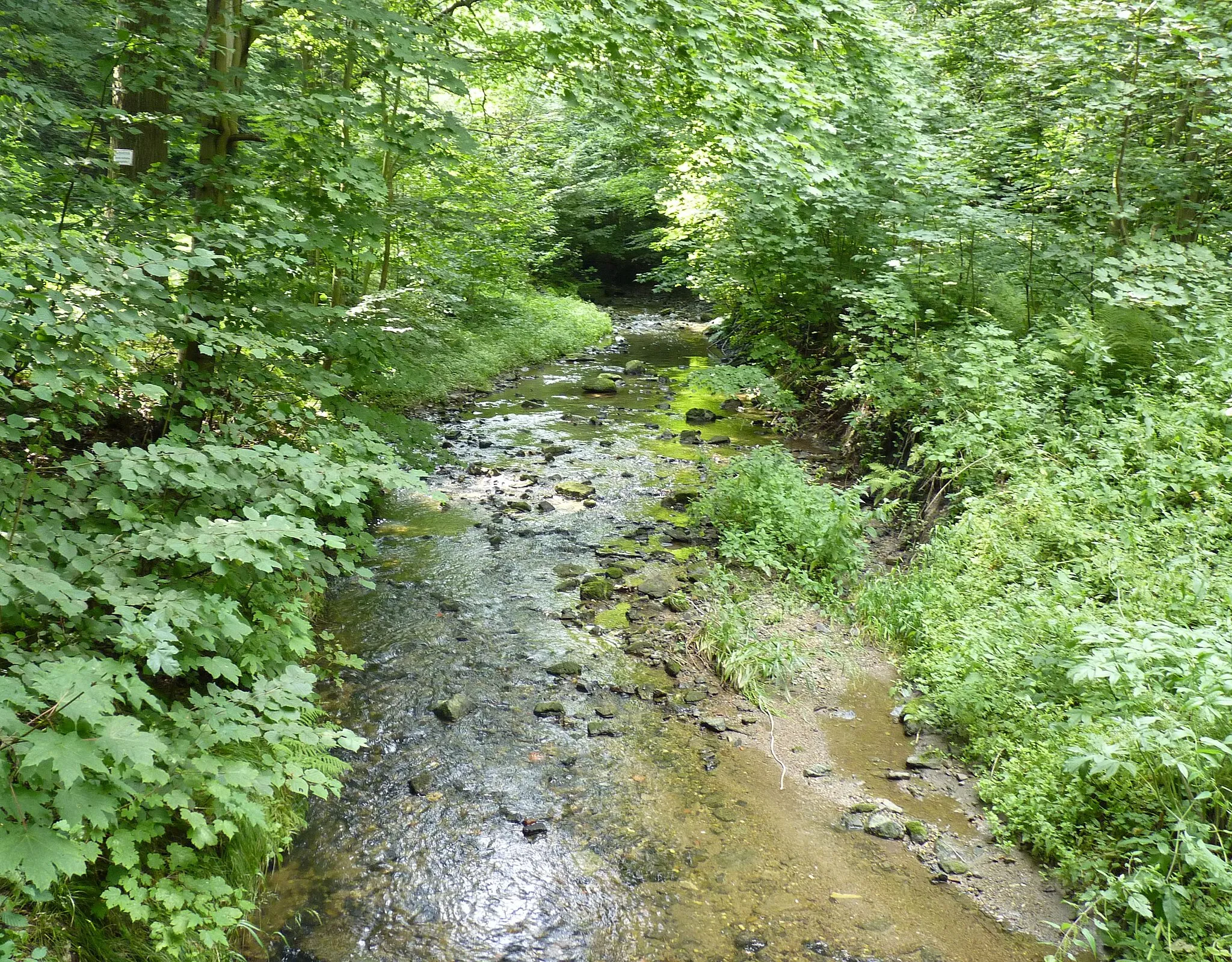
This cycling route takes you through the beautiful countryside surrounding Zittau. With a mix of road and gravel paths, you'll encounter rolling hills and charming villages along the way. The route includes several highlights, including Bogatynia, Frýdlant, Kančí vrch, Výhledy, Hrádek nad Nisou, and Olbersdorf itself.
gravel
66 km
813 m
Tough
Route profile
Highlights on the route
0 km
0 km
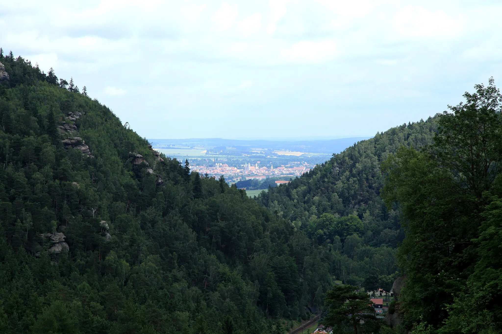
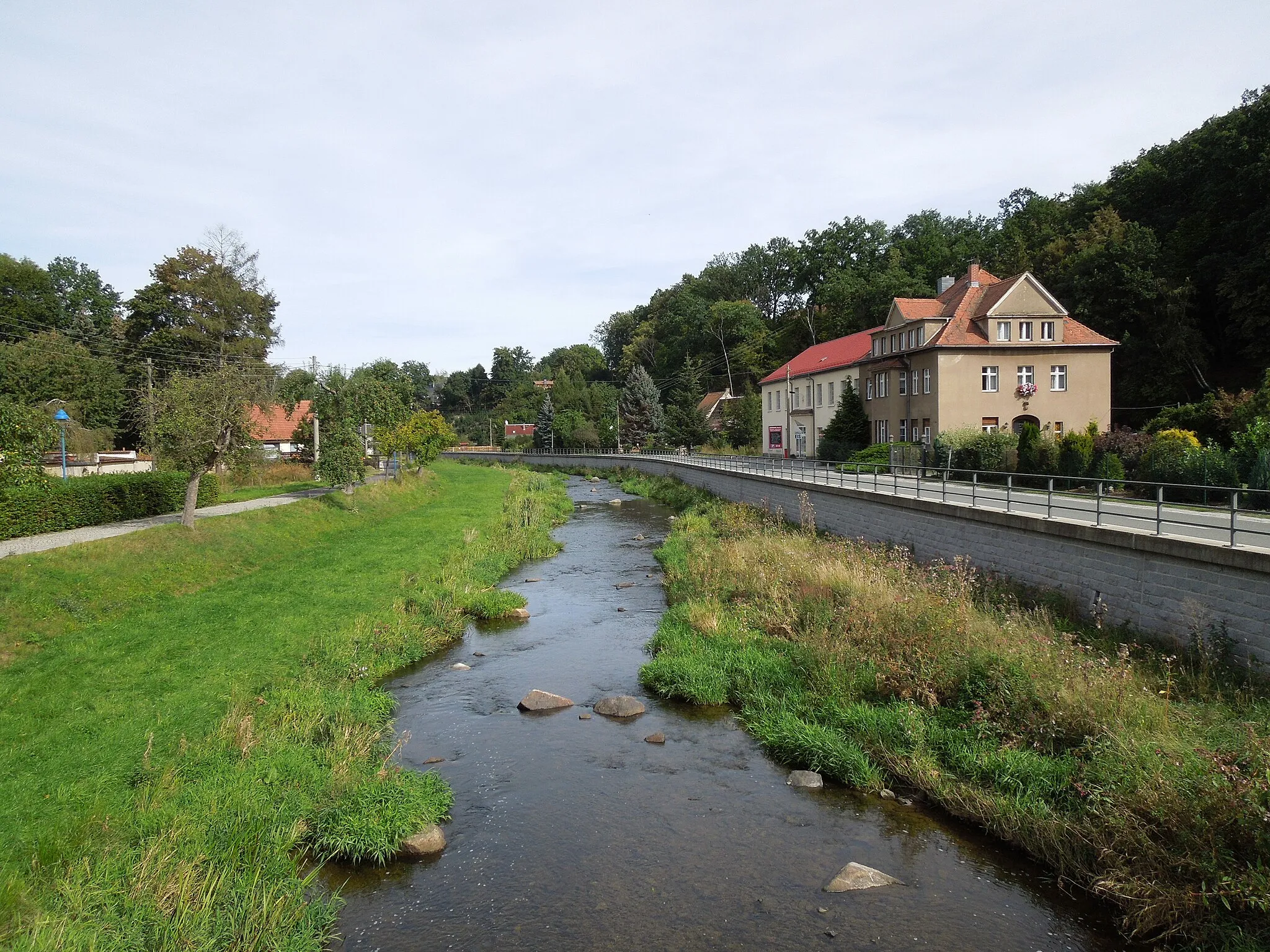
Start: Olbersdorf Village centerOlbersdorf: Scenic road and gravel cycling in Olbersdorf, Germany.
Olbersdorf is a town in Dresden, Germany. From a cyclist's perspective, Olbersdorf offers a variety of road and gravel cycling routes in the surrounding area. Cyclists can enjoy scenic rides through the picturesque countryside and explore the beautiful landscapes. The region is not particularly well-known for famous cycling spots or climbs, but it provides a peaceful and enjoyable cycling experience. With its peaceful atmosphere and diverse cycling routes, Olbersdorf is a great locality for both road and gravel cyclists.4 km
4 km
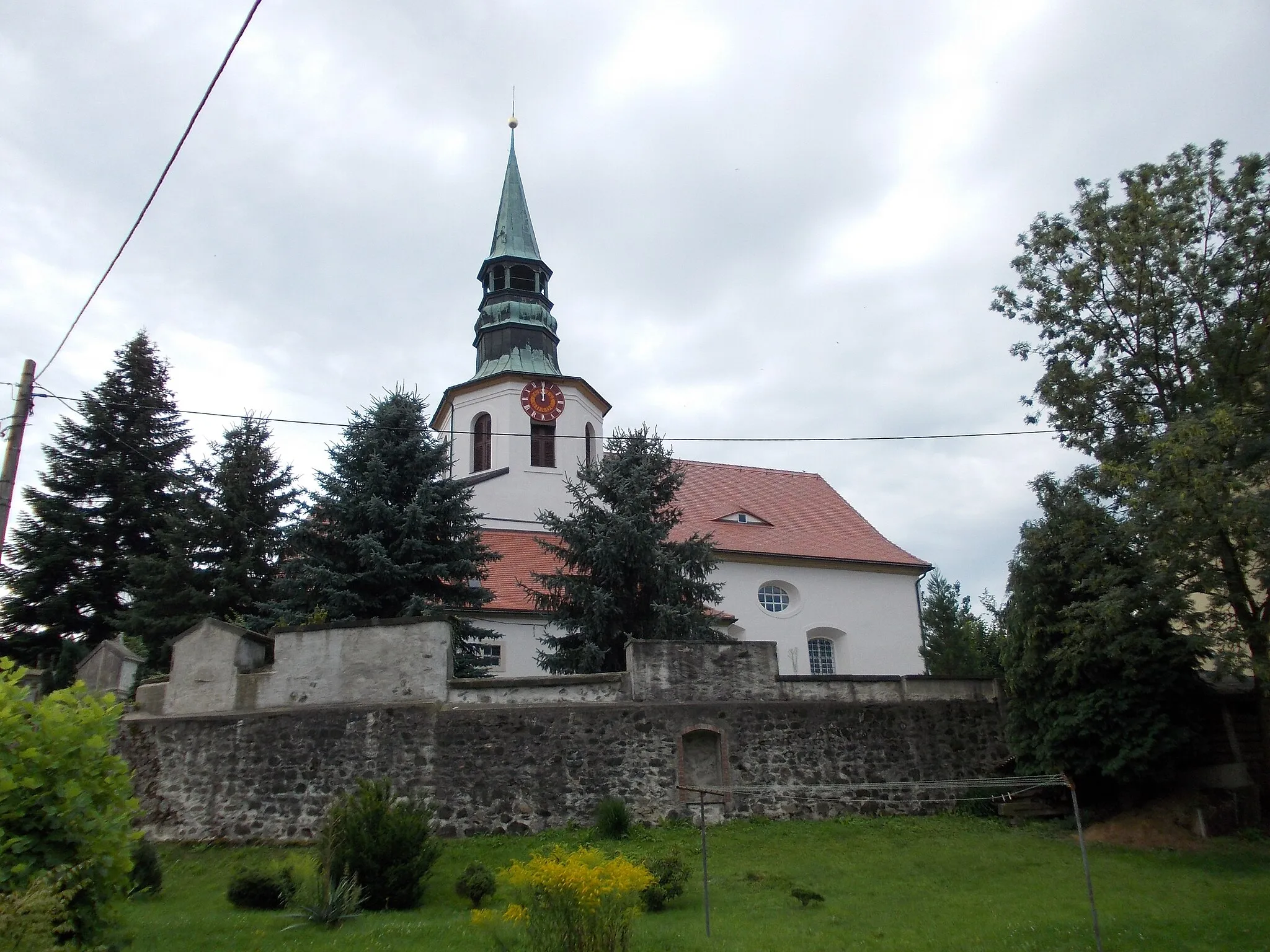
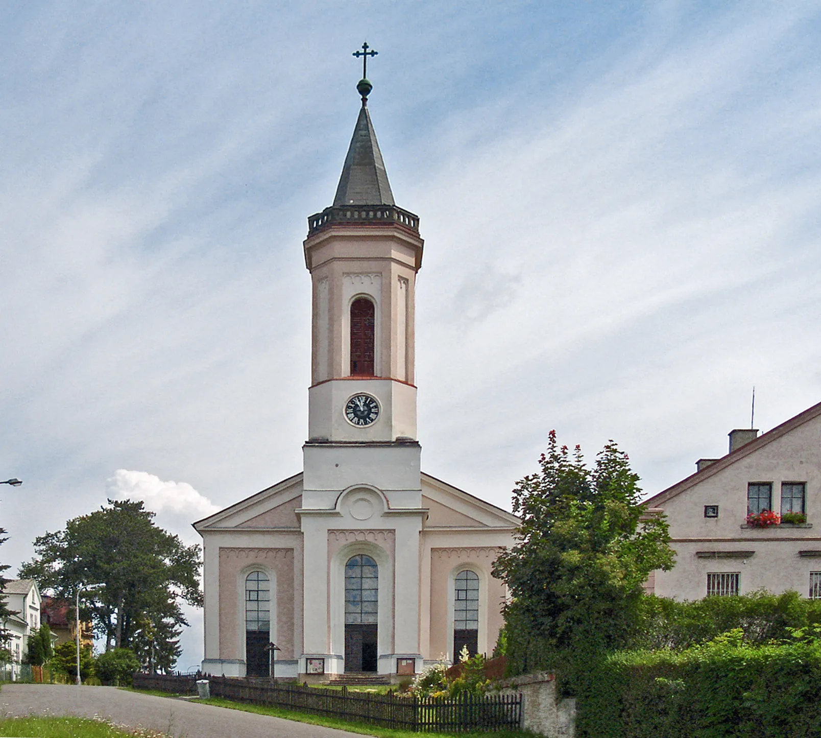
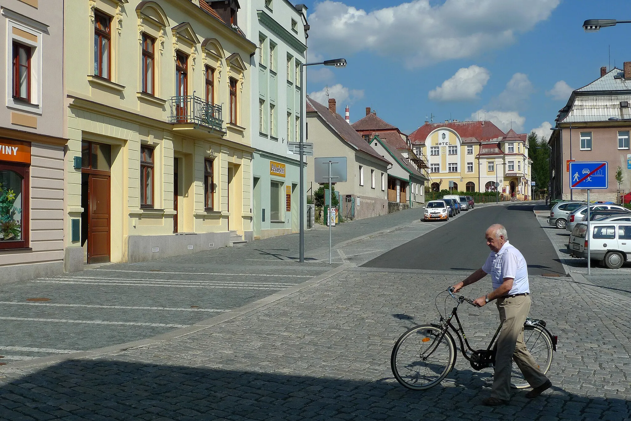
ZittauTownZittau is a historic town known for its well-preserved architectural heritage, including the Zittau Town Hall and the Church of St. John the Baptist.
22 km
22 km
BogatyniaTownBogatynia is a town in Poland famous for its coal mines and beautiful Church of St. Francis Xavier.
30 km
30 km
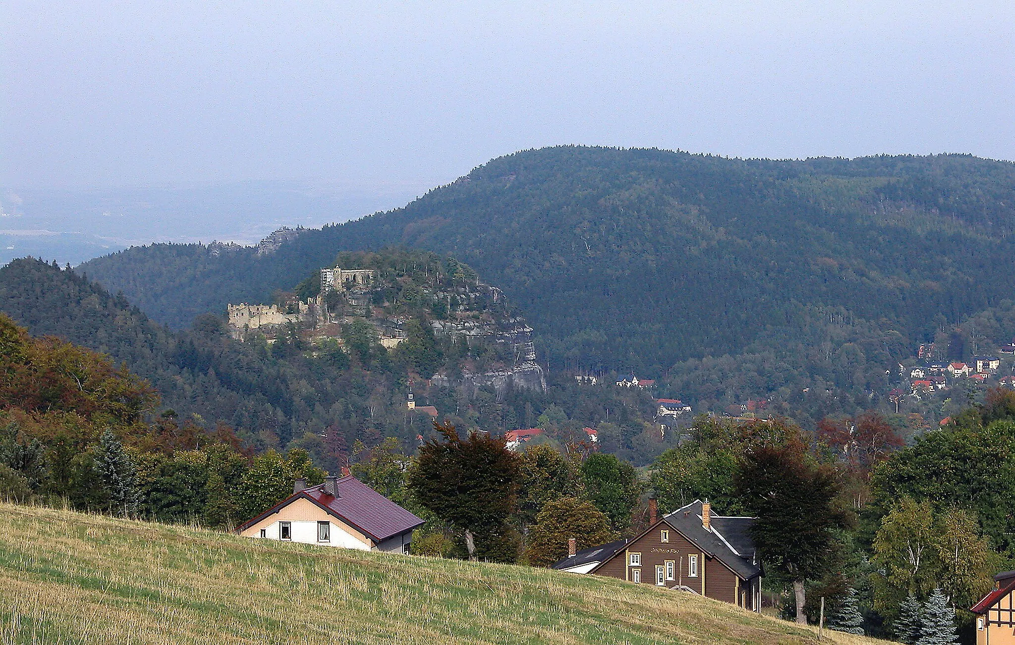
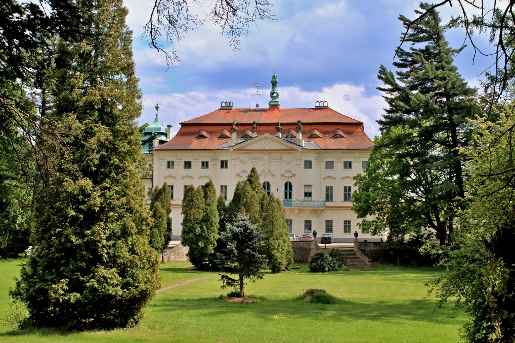
FrýdlantTownFrýdlant is a small town with a Renaissance castle dating back to the 13th century.
39 km
39 km
Kančí vrch679 mPeakKančí vrch is a hill known for its panoramic views of the surrounding countryside.
46 km
46 km
Výhledy569 mPeakVýhledy offers stunning vistas of the Jizera Mountains and the Lusatian Mountains.
58 km
58 km
Hrádek nad NisouTownHrádek nad Nisou is a picturesque castle located on the banks of the Nisa River.
66 km
66 km
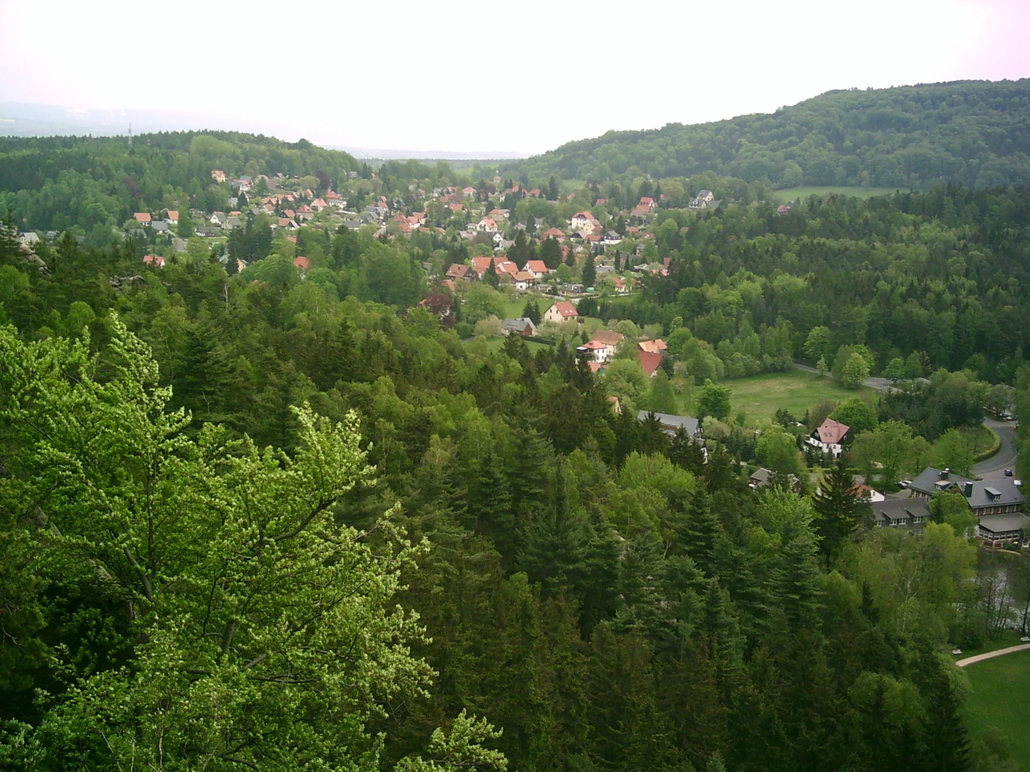
OlbersdorfVillageOlbersdorf is a charming village surrounded by nature, offering outdoor activities like hiking and cycling.
66 km
66 km
Finish: Olbersdorf Village centerOlbersdorf: Scenic road and gravel cycling in Olbersdorf, Germany.
Cycling routes from Olbersdorf:
Cycling routes nearby: