Bad Säckingen Loop
A road cycling route starting from Bad Sackingen
Conquer challenging climbs and enjoy beautiful scenery on this road cycling route
Map
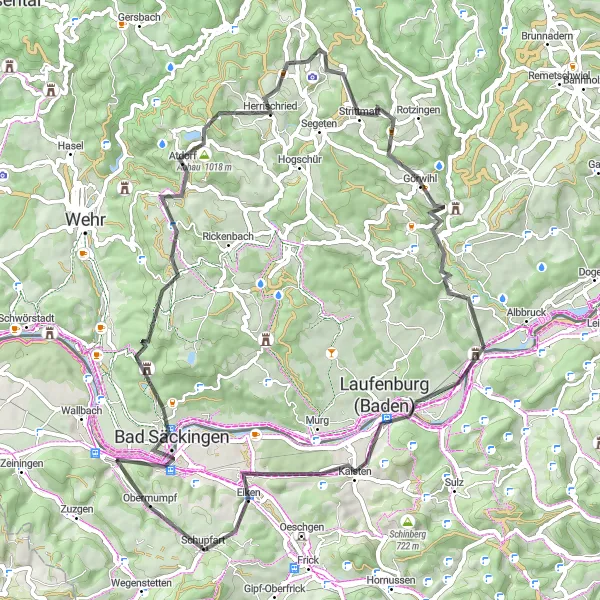
This road cycling route creates a loop around Bad Säckingen, providing cyclists with a challenging yet rewarding experience. With a total distance of 68 km and an ascent of 1412 m, this route offers beautiful landscapes and a chance to visit several highlights along the way. Highlights include Mumpferflue, a prominent rock formation at the 1 km mark, and Herrischried at the 24 km mark, which is famous for its charming village atmosphere. Overall, this route is rated with a difficulty level of 4 and an epicness of 3.
road
68 km
1412 m
Tough
Route profile
Highlights on the route
0 km
0 km
Start: Mumpf Village centerBad Säckingen: Cycling Paradise in Freiburg
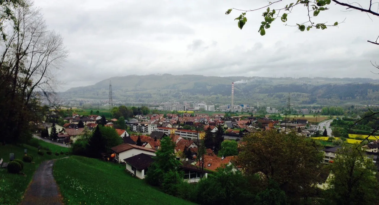
Located in Germany, in the region of Freiburg, Bad Säckingen is a charming locality that offers great opportunities for road and gravel cycling. With its picturesque landscapes and well-maintained roads, cyclists can enjoy scenic rides while exploring the region. The locality is known for its gentle terrain, making it suitable for riders of all levels. Road cyclists can take on the challenging Rhein loop, which offers breathtaking views of the river and surrounding countryside. Additionally, Bad Säckingen is in close proximity to the famous Feldberg climb, attracting cycling enthusiasts from all over.1 km
1 km
MumpferflueViewpointThe Mumpferflue, located at the 1 km mark, is a small rock formation that can be easily admired from the road.
4 km
4 km
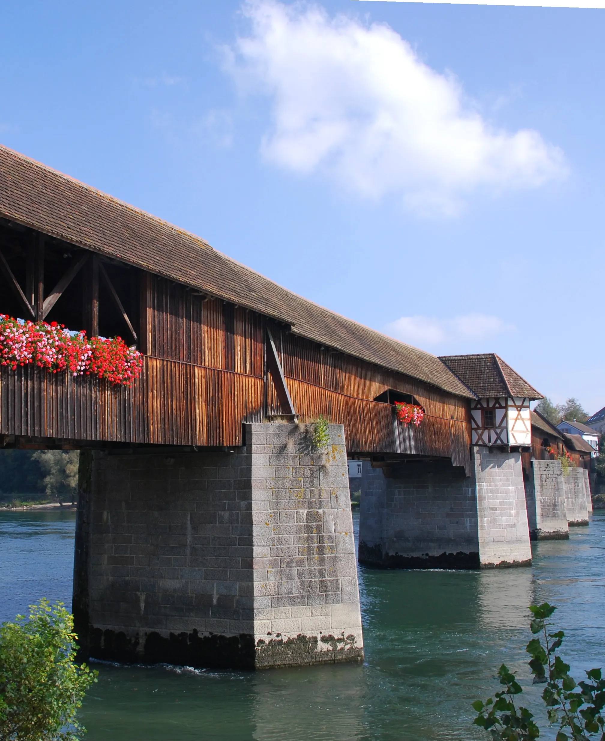
Bad SäckingenTownBad Säckingen, the starting and ending point of this route, offers historical charm with its picturesque old town.
12 km
12 km
BergalingenHamletAt the 12 km mark, Bergalingen is a quaint village known for its traditional Black Forest architecture.
16 km
16 km
Heuberg886 mPeakHeuberg, located at the 16 km mark, is a peaceful hamlet surrounded by scenic nature.
24 km
24 km
HerrischriedVillageHerrischried, found at the 24 km mark, is a charming village with traditional timber-framed houses.
29 km
29 km
Gugel995 mPeakAs you pass Gugel at the 29 km mark, take a moment to enjoy the picturesque views of the Rhine River.
37 km
37 km
GörwihlVillageGörwihl, located at the 37 km mark, is a small village nestled in the heart of the Black Forest.
40 km
40 km
Köpfle586 mPeakKöpfle, found at the 40 km mark, offers cyclists a wonderful vantage point to admire the surrounding landscapes.
52 km
52 km
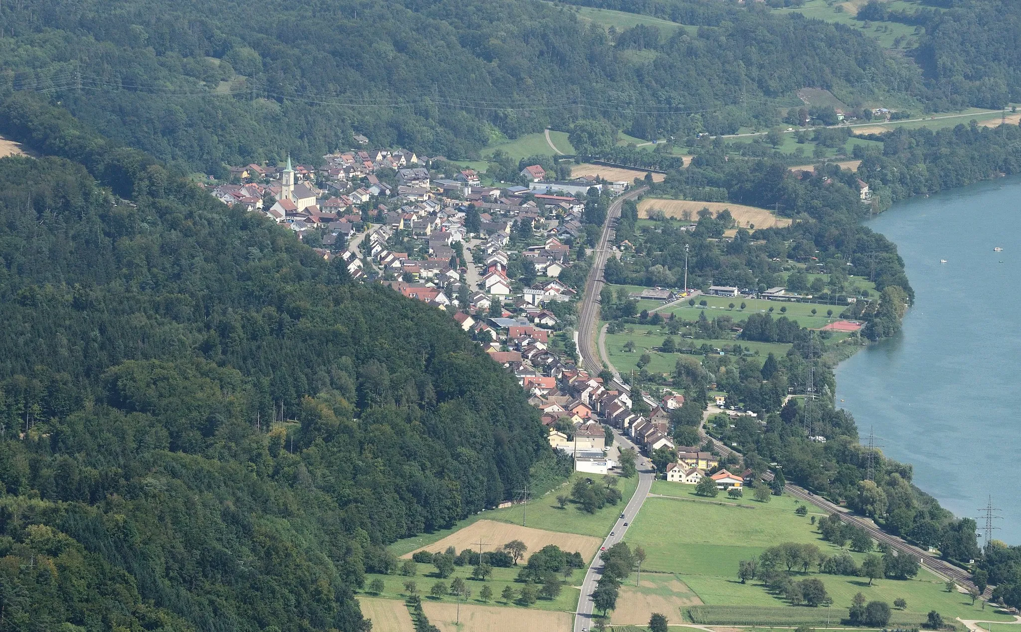
Laufenburg (Baden)TownLaufenburg (Baden), located at the 52 km mark, is a charming border town with both German and Swiss influence.
52 km
52 km
Hans-Thoma-BlickViewpointAt the 52 km mark, Hans-Thoma-Blick offers cyclists a panoramic view of the stunning surrounding Black Forest.
67 km
67 km
ChatzenflueViewpointThe Chatzenflue, located at the 67 km mark, is a famous lookout point providing breathtaking views of the region.
68 km
68 km
MumpfVillageAt the end of the route, Mumpf is a riverside village known for its beautiful natural landscapes.
68 km
68 km
Finish: Mumpf Village centerBad Säckingen: Cycling Paradise in Freiburg
Cycling routes from Bad Sackingen:
The Gravel Expedition Road Trip to Monte Christo Exploring Ancient History The Ultimate Challenge The Scenic Gravel Adventure The Gravel Route to Bergalingen Thrilling Gravel Circuit through Auenstein Road Cycling Adventure to Unterer Hauenstein Challenging Pursuit of Belchen The Rheinsberg Round Trip Around Frick Bad Säckingen Loop The Rheinfelden Route Gogel and Beyond Scenic Black Forest Tour
Cycling routes nearby: