Dauchingen to Pfaffenweiler
A gravel cycling route starting from Dauchingen
A thrilling gravel route with scenic mountain views
Map
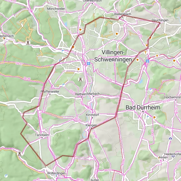
For those seeking an adventurous journey, this gravel route from Dauchingen to Pfaffenweiler is the perfect choice. With a distance of 43 km and an ascent of 576 m, this route offers a challenging yet rewarding experience. Highlights include Froschberg, offering panoramic views of the surrounding mountains, and Tonisbühl, known for its picturesque landscapes. Rated as a difficulty level 3, this route is suitable for cyclists with some off-road experience. Although not as epic as a legendary climb, it still provides an enjoyable gravel cycling experience.
gravel
43 km
576 m
Tough
Route profile
Highlights on the route
0 km
0 km
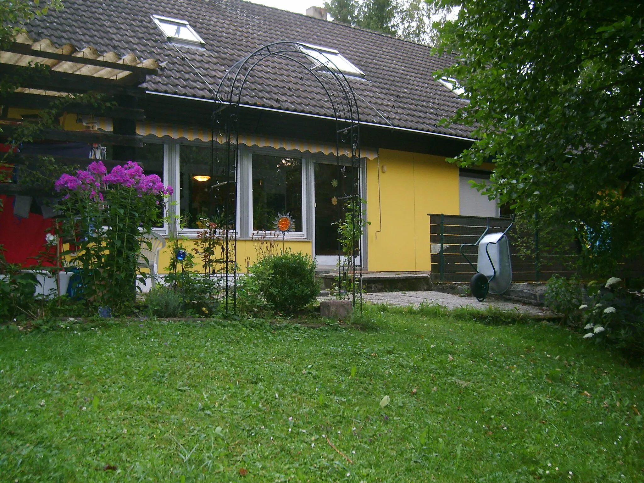
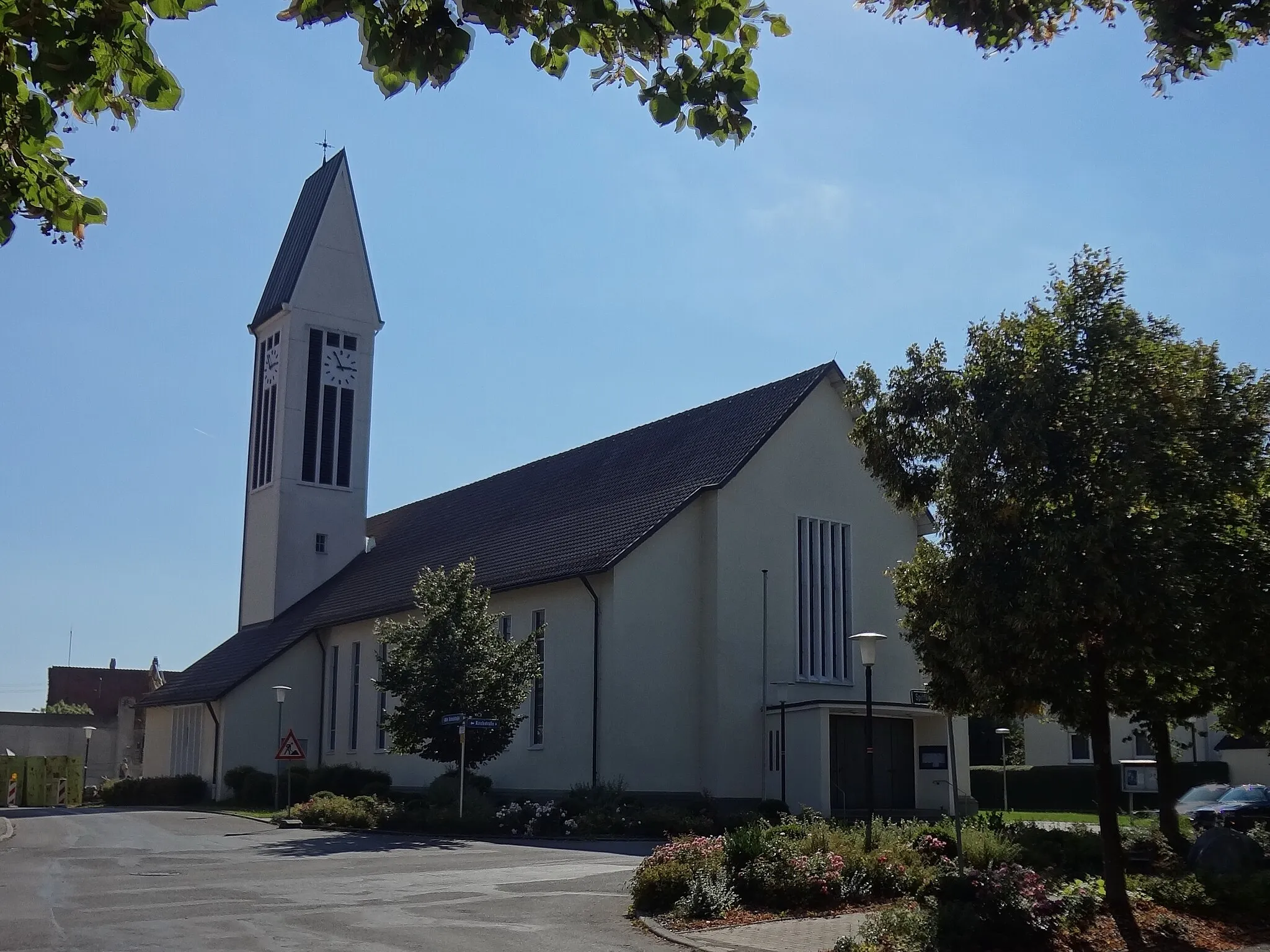
Start: Dauchingen Village centerDauchingen: Take on the Black Forest hills while cycling through Dauchingen
Dauchingen, located in Freiburg, Germany, offers great opportunities for road and gravel cycling. The locality boasts well-maintained cycling trails that wind through beautiful forests and meadows. Cyclists can explore the scenic hills of the Black Forest and ride along the famous Schwarzwaldhochstraße, known for its challenging climbs and breathtaking views. Dauchingen is an excellent starting point for cyclists looking to immerse themselves in nature and discover the charm of the surrounding region.0 km
0 km
DauchingenVillageDauchingen is a charming village in the heart of the Black Forest.
10 km
10 km
Froschberg764 mPeakFroschberg offers panoramic views of the surrounding mountains.
28 km
28 km
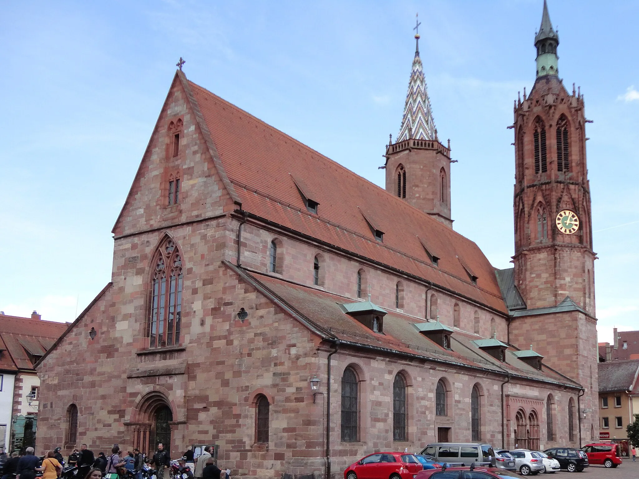
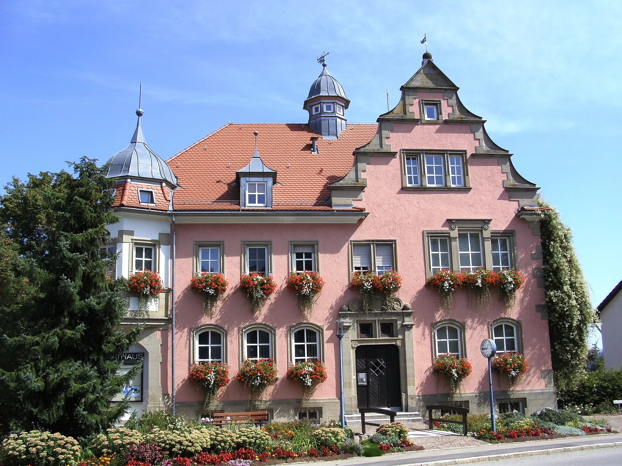
PfaffenweilerVillagePfaffenweiler is a charming town surrounded by picturesque vineyards.
38 km
38 km
Tonisbühl785 mPeakTonisbühl provides stunning panoramic views of the Black Forest.
43 km
43 km
Finish: Dauchingen Village centerDauchingen: Take on the Black Forest hills while cycling through Dauchingen
Cycling routes from Dauchingen:
Dauchingen to Deißlingen Dauchingen to Hornberg Dauchingen to Tonisbühl Dauchingen to Pfaffenweiler Dauchingen to Bad Dürrheim Dauchingen to Uhufelsen Loop Dauchingen to Seitingen-Oberflacht Loop Dauchingen to Deißlingen Adventure Dauchingen to Zimmern ob Rottweil Scenic Route Dauchingen to Deißlingen via Flözlingen
Cycling routes nearby: