Gravel Adventure to the Forests
A gravel cycling route starting from Herrischried
Embark on a gravel adventure surrounded by mesmerizing forests near Herrischried
Map
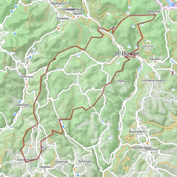
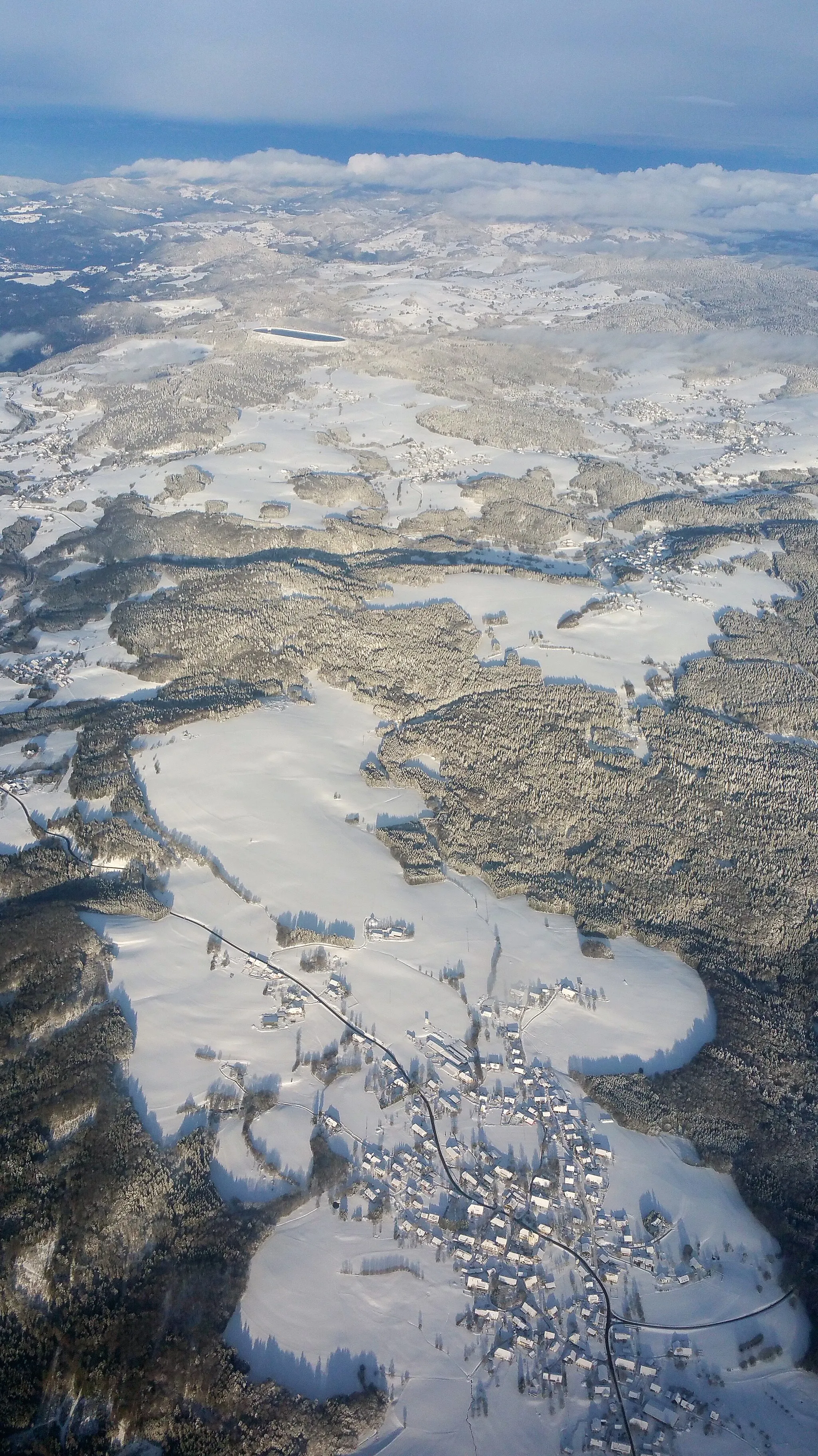
This 57 km gravel cycling route takes you through captivating forests and picturesque landscapes near Herrischried. With an ascent of 1603 meters, the challenging terrain provides a thrilling adventure for cyclists. The highlights along the route include the Schellenberg lookout point, Bötzberg's historic castle ruins, and the serene Blasiwald forest. Enjoy the scenic beauty and tranquility of St. Blasien, visit the iconic Kreuzfelsen rock formation, and admire the panoramic view from Gugel. The difficulty level is 4 out of 5, suitable for well-trained amateurs, and the epicness rating reflects its scenic and adventurous nature at 3 out of 5.
gravel
57 km
1603 m
Tough
Route profile
Highlights on the route
0 km
0 km
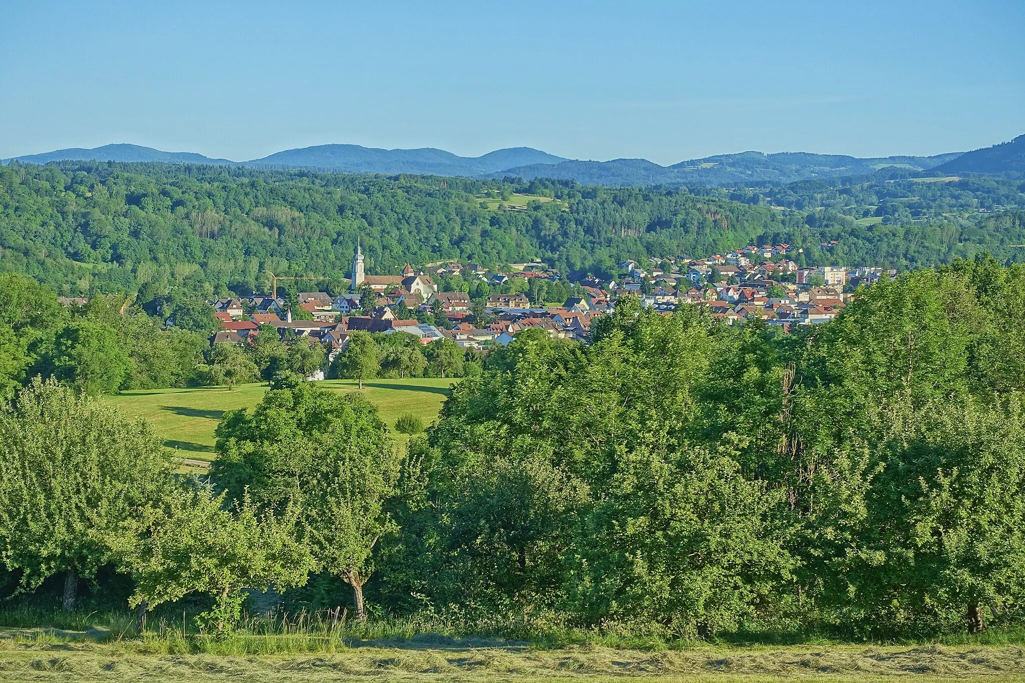
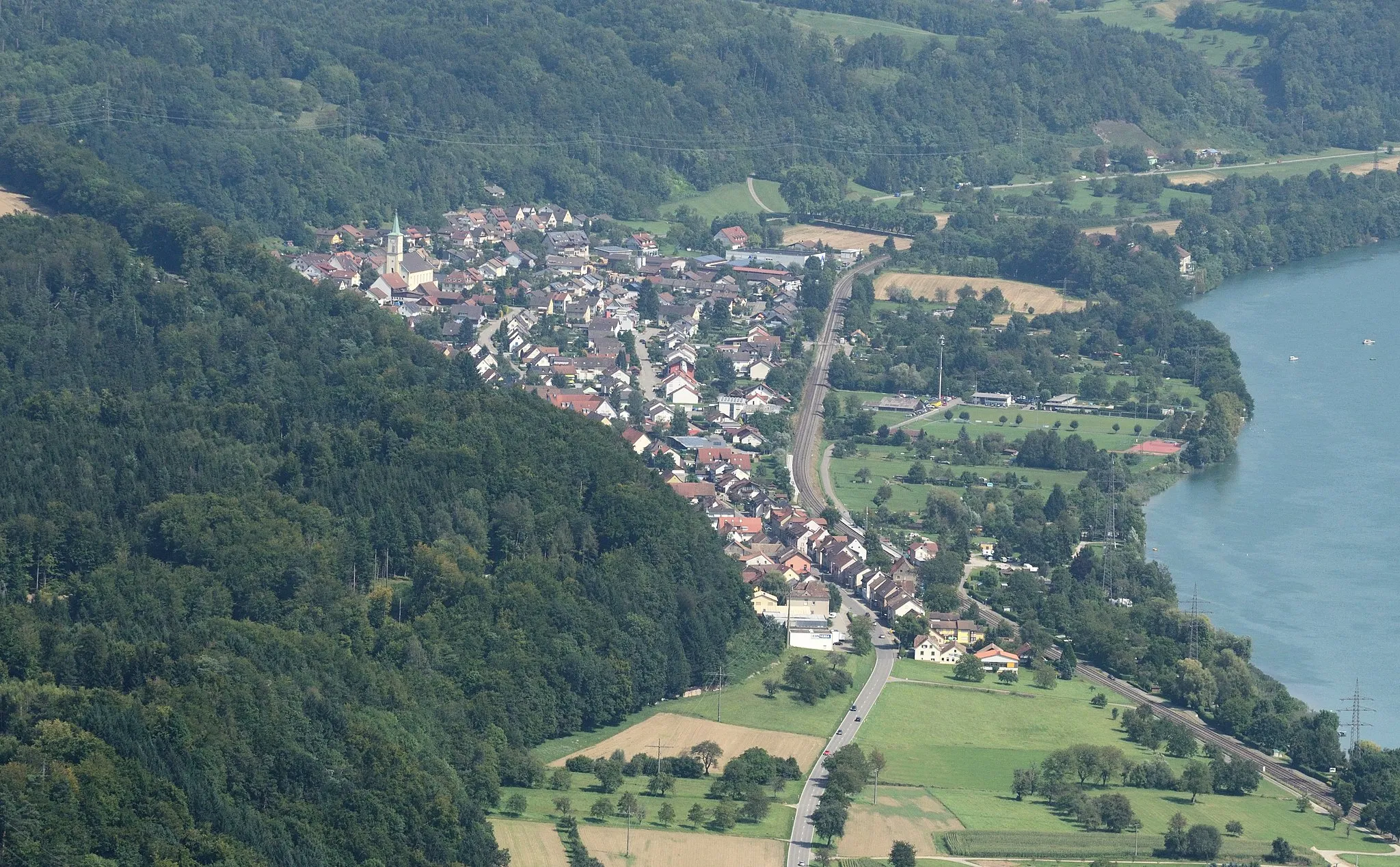
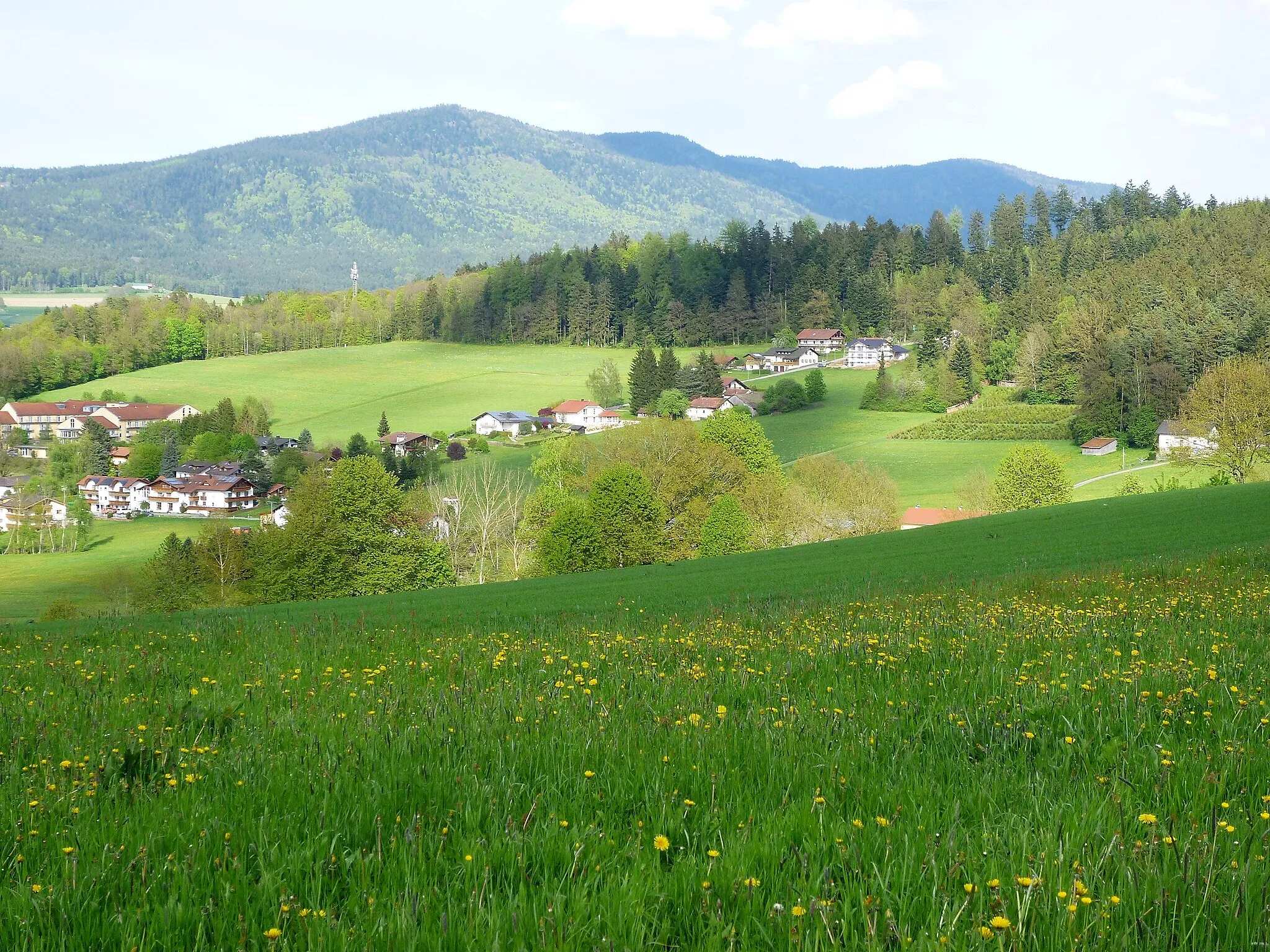
Start: Herrischried Village centerHerrischried: Road and gravel cycling in the picturesque region of Freiburg.
Herrischried is a small locality located in Germany, specifically in the region of Freiburg. It offers a great cycling experience for road and gravel cyclists. With its rolling hills and scenic landscapes, cyclists can enjoy peaceful rides along quiet roads. There are also several well-known climbs nearby, such as the Belchen and the Schauinsland, which attract cycling enthusiasts from all over. Herrischried is a great cycling destination and is suitable for both experienced riders and beginners. The surrounding region of Freiburg also offers plenty of tourism-related activities, including hiking, sightseeing, and visiting local breweries.3 km
3 km
Schellenberg1001 mPeakFrom the Schellenberg lookout point, enjoy stunning views of the surrounding forests and valleys.
24 km
24 km
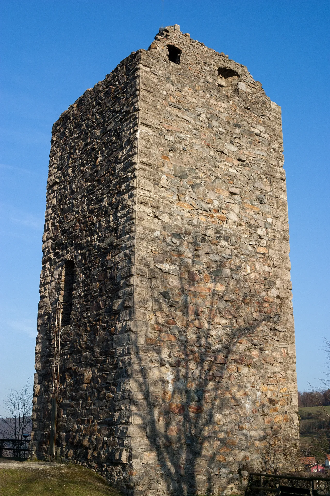
Bötzberg1216 mPeakBötzberg's castle ruins are a historic gem, showcasing the region's rich history.
27 km
27 km
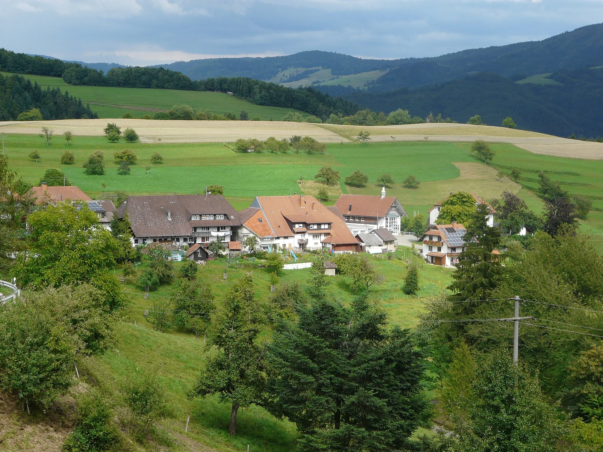
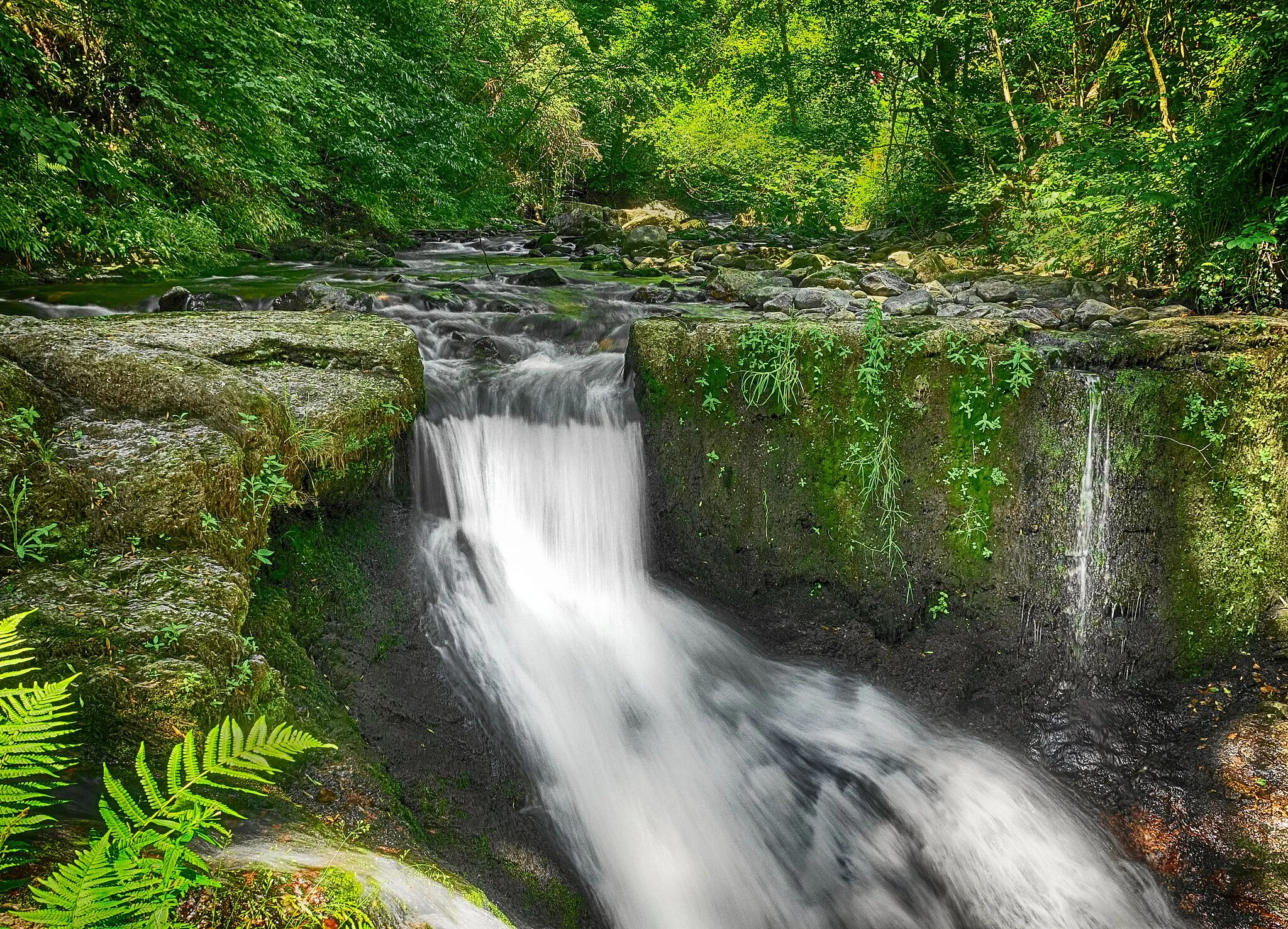
BlasiwaldVillageBlasiwald is a peaceful forest known for its natural beauty and tranquil hiking trails.
36 km
36 km
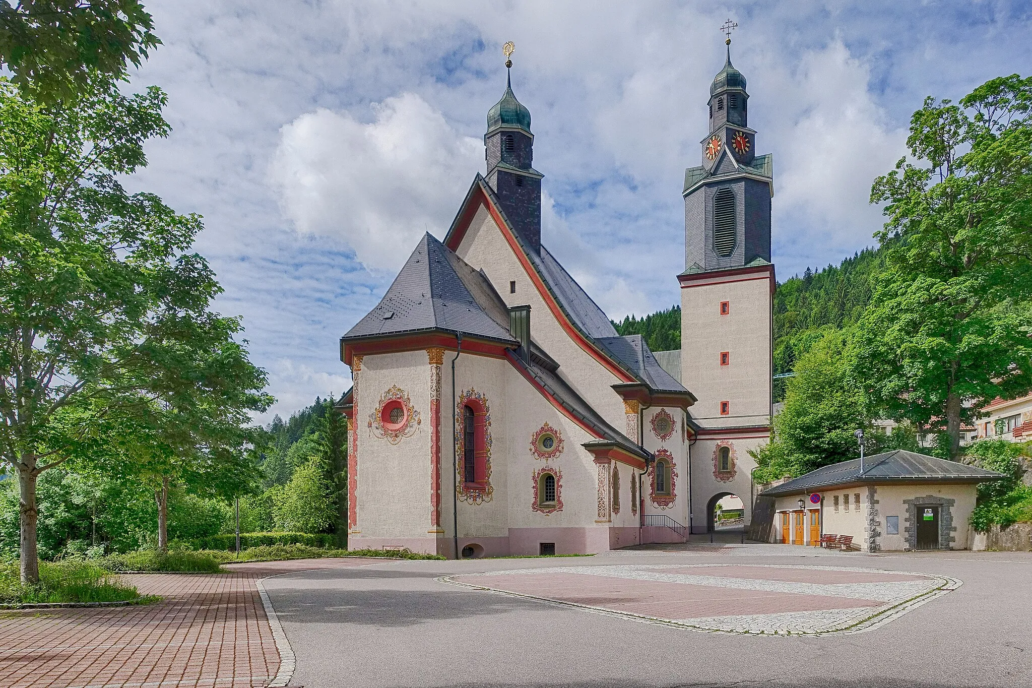
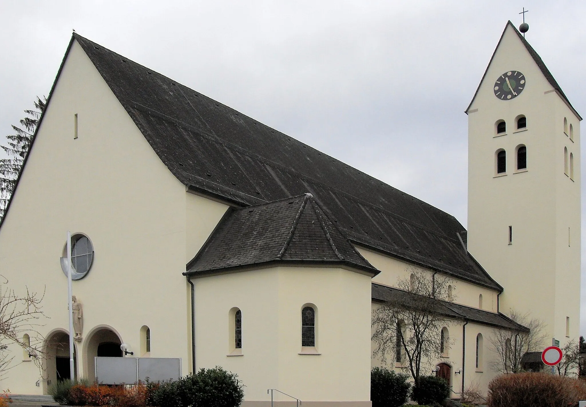
St. BlasienTownExperience the charm of St. Blasien, a picturesque town nestled amidst verdant forests.
41 km
41 km
KreuzfelsenViewpointThe Kreuzfelsen rock formation offers a unique photographic opportunity with its striking shape and backdrop of nature.
54 km
54 km
Gugel995 mPeakGugel provides a lookout point where you can enjoy panoramic views of the surrounding countryside.
57 km
57 km
HerrischriedVillageThe charming village of Herrischried serves as the starting and ending point for this adventurous gravel route.
57 km
57 km
Finish: Herrischried Village centerHerrischried: Road and gravel cycling in the picturesque region of Freiburg.
Cycling routes from Herrischried:
Cycling routes nearby: