Oberried to Buchbühl Road Route
A road cycling route starting from Kirchzarten
Embark on a challenging road cycling adventure from Oberried to Buchbühl
Map
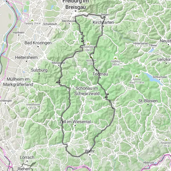
This road route provides a truly epic cycling adventure from Oberried to Buchbühl. With a total ascent of 3,409 meters and a distance of 138 kilometers, it offers a demanding yet rewarding experience for cyclists. The highlights along the way include Oberried, Notschrei, Todtnau, Hochkopf, Erlenberg, Wehr, Hohe Flum, Tegernau, Bürchau, Weiherkopf, Obermünstertal, Sonnhaldeberg, Lorettoberg, Wiehre, and Buchbühl. The difficulty rating for this route is 5, making it suitable for experienced cyclists and climbers. The epicness of this route is rated 5 as well, with breathtaking views and challenging terrain throughout the journey.
road
138 km
3409 m
Savage
Route profile
Highlights on the route
0 km
0 km
Start: Stegen Village centerKirchzarten: Cycling paradise at the entrance of the Black Forest
Kirchzarten, located in Freiburg, Germany, is a fantastic destination for road and gravel cyclists. The region offers picturesque landscapes and a variety of challenging routes to explore. Cyclists can enjoy stunning mountain views and ride through charming traditional German villages. Kirchzarten is also known for its proximity to the Black Forest, which provides scenic routes and challenging climbs for more adventurous cyclists. One famous cycling spot nearby is the Feldberg, the highest peak in the Black Forest, which attracts cyclists looking for a demanding ascent. Overall, Kirchzarten is a popular cycling destination with options for all skill levels.6 km
6 km
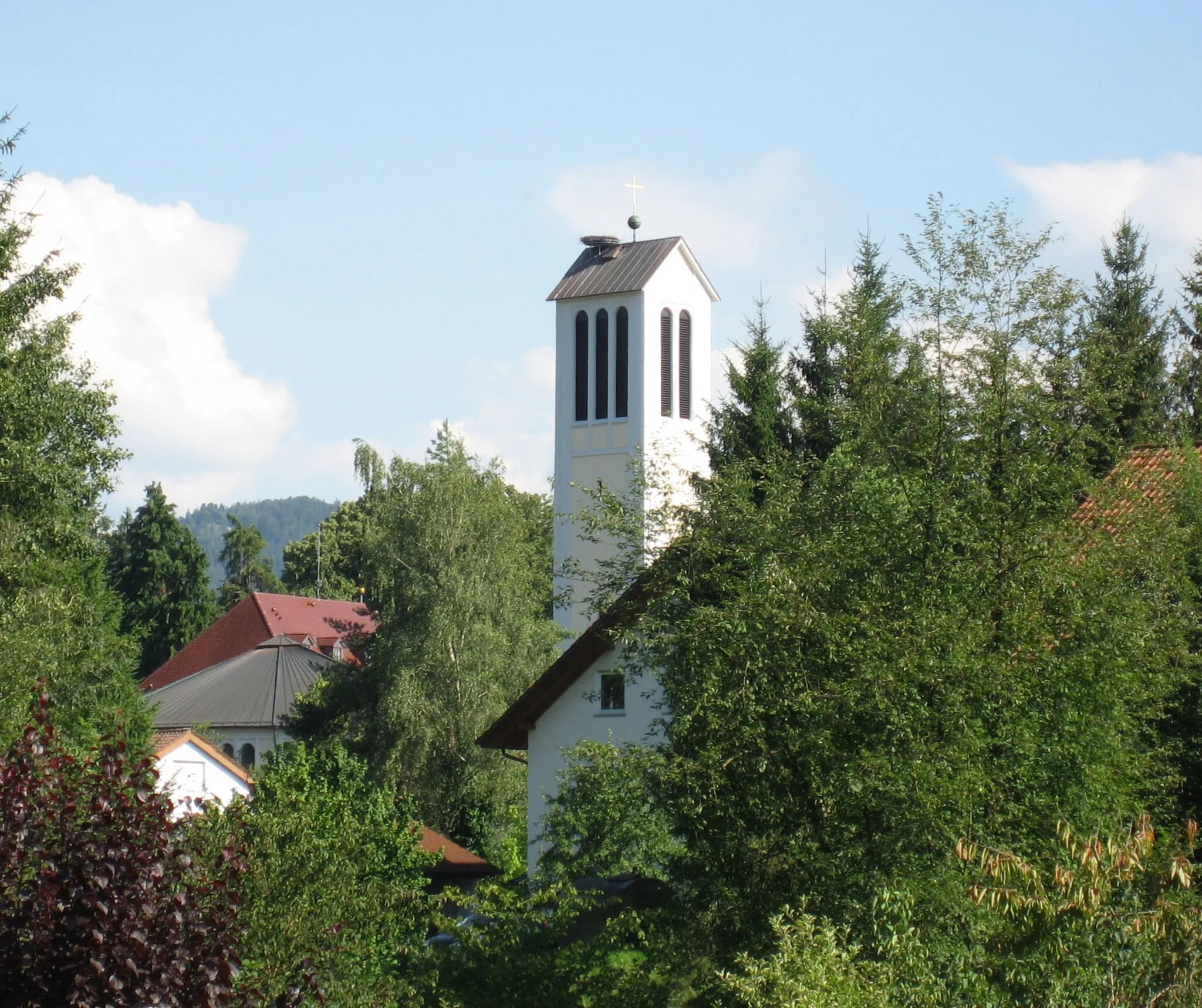
OberriedVillageBegin your journey in Oberried, a gateway to beautiful landscapes.
16 km
16 km
Notschrei1120 mMountain PassClimb Notschrei and enjoy panoramic views of the surroundings.
23 km
23 km
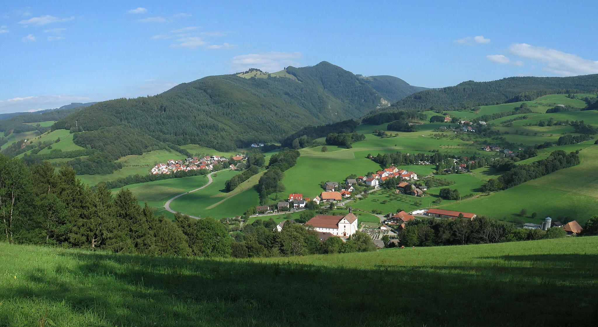
TodtnauTownExplore Todtnau, a picturesque village nestled in the heart of nature.
36 km
36 km
Hochkopf1263 mPeak ViewpointVisit Hochkopf, known for its stunning views and natural beauty.
45 km
45 km
Erlenberg1008 mPeakPass through Erlenberg, a charming village on the route.
57 km
57 km
WehrTownMake a stop at Wehr, a town known for its medieval castle and historic center.
66 km
66 km
Hohe Flum536 mPeakEnjoy the scenic beauty at Hohe Flum.
78 km
78 km
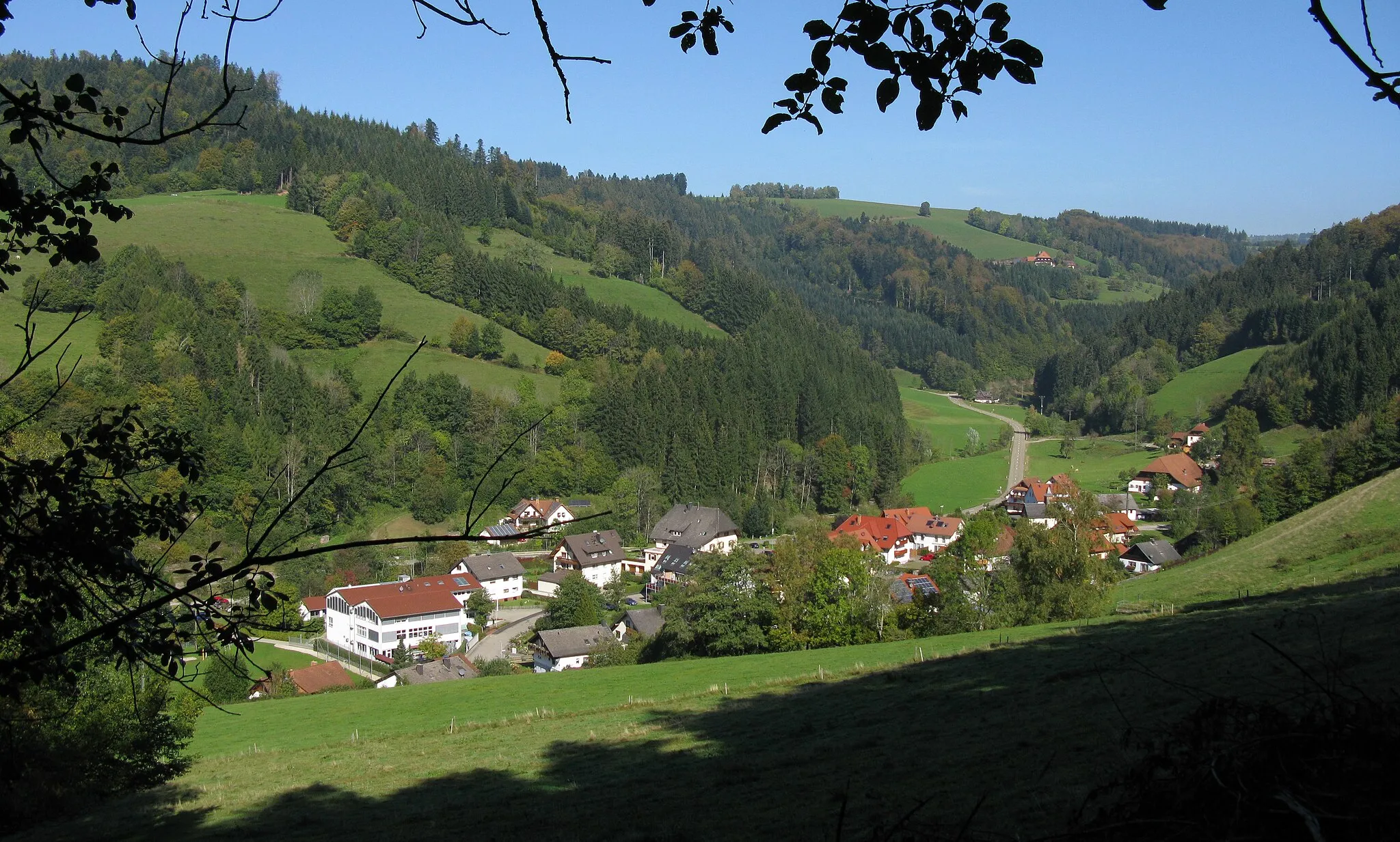
TegernauVillageTake the opportunity to explore Tegernau and its scenic surroundings.
86 km
86 km
BürchauHamletPass through Bürchau, a small village with a rich history.
93 km
93 km
Weiherkopf1143 mPeakDiscover Weiherkopf, offering panoramic views of the surrounding landscapes.
105 km
105 km
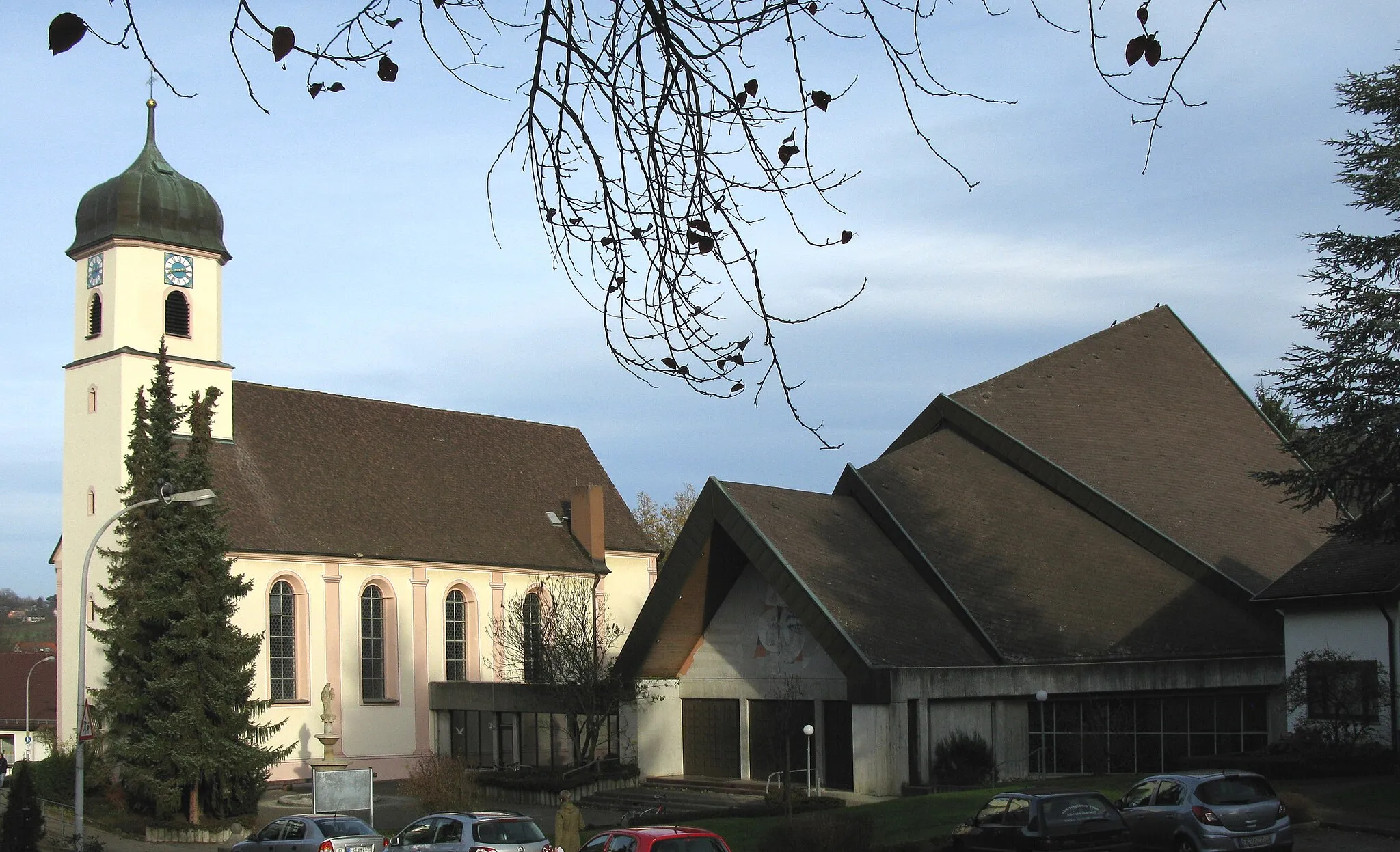
ObermünstertalHamletCycle through Obermünstertal, surrounded by lush greenery and rolling hills.
108 km
108 km
SonnhaldebergViewpointSonnhaldeberg offers picturesque views of the Black Forest.
127 km
127 km
Lorettoberg385 mPeakClimb Lorettoberg and enjoy magnificent views of Freiburg.
128 km
128 km
WiehreSub-urbPass through Wiehre, a scenic neighborhood in Freiburg.
138 km
138 km
Buchbühl462 mPeakMake a stop at Buchbühl, a tranquil spot along the route.
138 km
138 km
StegenVillageBegin your journey in Stegen, a small village with beautiful surroundings.
138 km
138 km
Finish: Stegen Village centerKirchzarten: Cycling paradise at the entrance of the Black Forest
Cycling routes from Kirchzarten:
Kirchzarten Loop Kirchzarten Cycling Adventure Kirchzarten to Buchenbach Gravel Route The Ultimate Gravel Challenge The Gravel Adventure Road Cycling Delight Stegen to Kirchzarten Gravel Route Stegen to Oberried Road Route Oberried to Buchbühl Road Route Freiburg im Breisgau to Kirchzarten Gravel Route Black Forest Epic Freiburg Tour Green Forest Gravel Adventure
Cycling routes nearby: