The Forests and Castles Loop
A road cycling route starting from Stuhlingen
Explore the enchanting forests and visit historic castles along this challenging road cycling route
Map
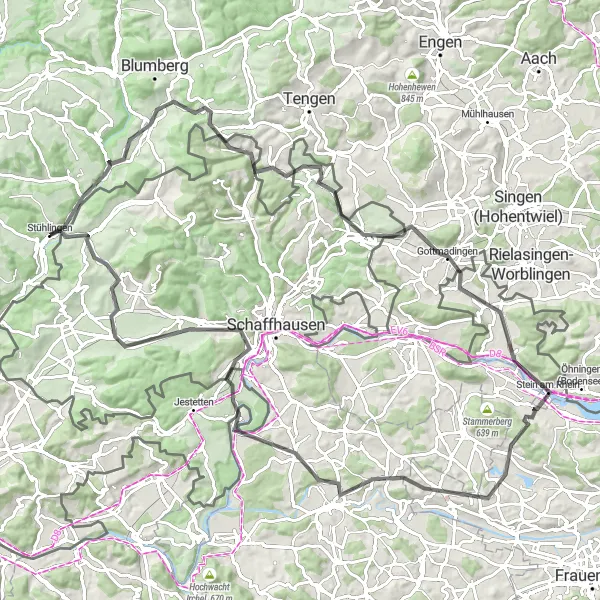
Embark on a challenging road cycling adventure through breathtaking landscapes and visit several impressive castles along the way. Starting near Stühlingen, the Forests and Castles Loop offers a unique and memorable experience for cycling enthusiasts. This 105 km route features a total ascent of 1289 meters, providing an invigorating challenge for well-trained amateurs. The diverse terrain includes uphill climbs, exhilarating descents, and winding country roads, guaranteeing a thrilling ride from start to finish.
road
105 km
1289 m
Tough
Route profile
Highlights on the route
0 km
0 km
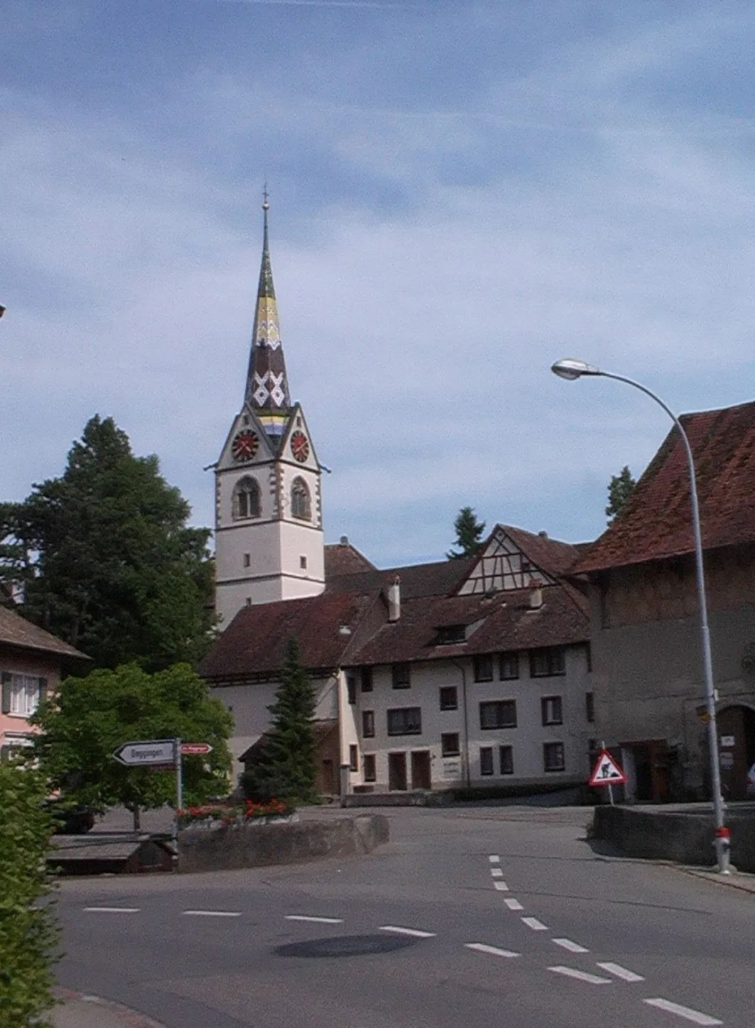
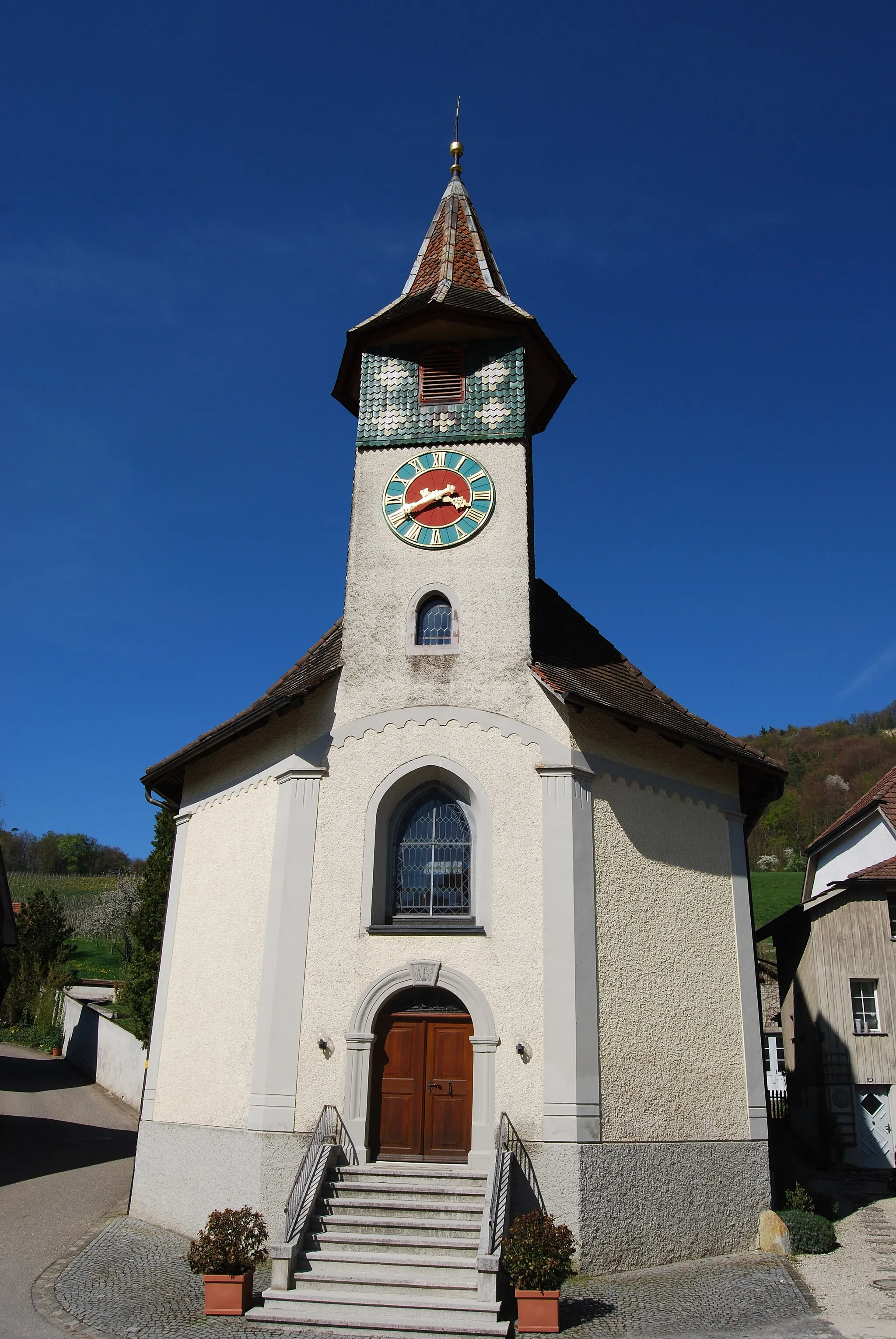
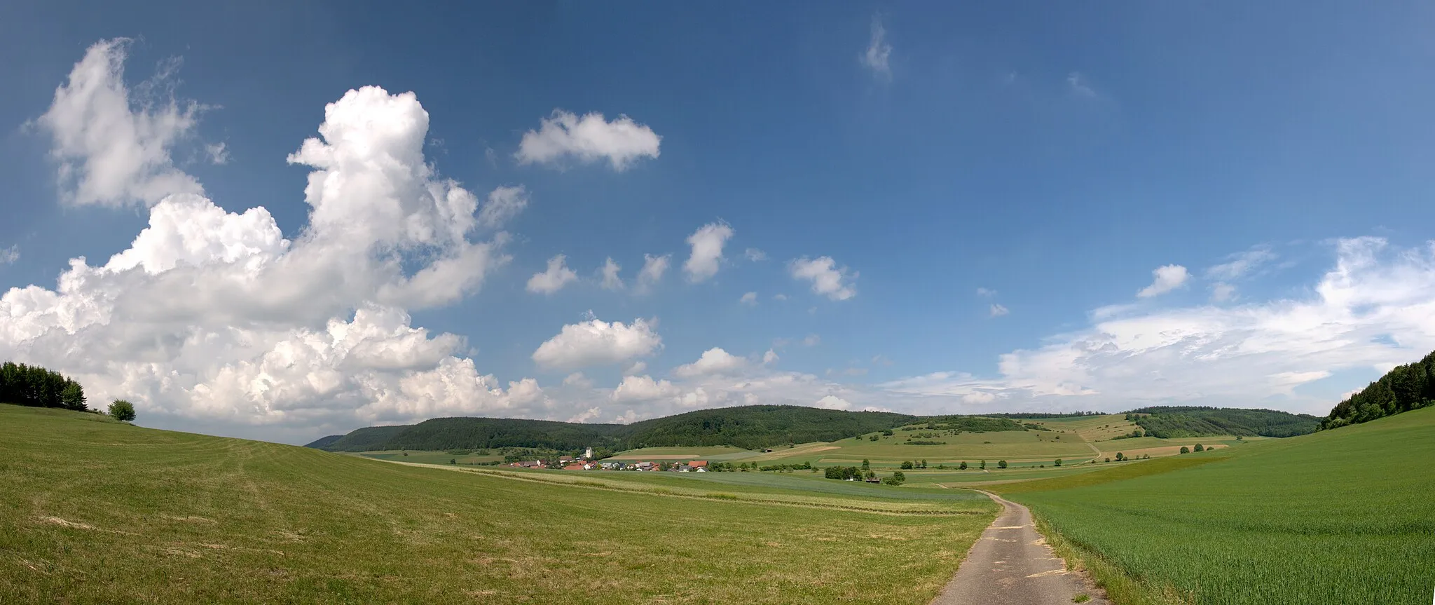
Start: Stühlingen Village centerStühlingen: Thrilling rides and famous climbs in a stunning natural setting.
Stühlingen, located in Freiburg, Germany, is a fantastic locality for road and gravel cyclists. The region offers a wealth of scenic routes and challenging climbs that will delight cyclists of all levels. Notably, the nearby Black Forest region is a renowned cycling destination, known for its stunning landscapes and infamous climbs. With its proximity to the Black Forest and its own charming scenery, Stühlingen attracts both local and international cyclists seeking thrilling rides. Additionally, the town itself offers amenities and tourist attractions that enhance the overall cycling and tourism experience.7 km
7 km
GrimmelshofenVillageLocated approximately 7 km into the route, Grimmelshofen offers a picturesque village with timber-framed houses and stunning landscapes
14 km
14 km
Bolkopf777 mShelterBolkopf is a medieval castle ruin situated at the 14 km mark, providing panoramic views of the surrounding countryside
22 km
22 km
Osterberg769 mPeakAt the 22 km mark, Osterberg is a majestic castle that dates back to the 13th century and offers a fascinating glimpse into history
39 km
39 km
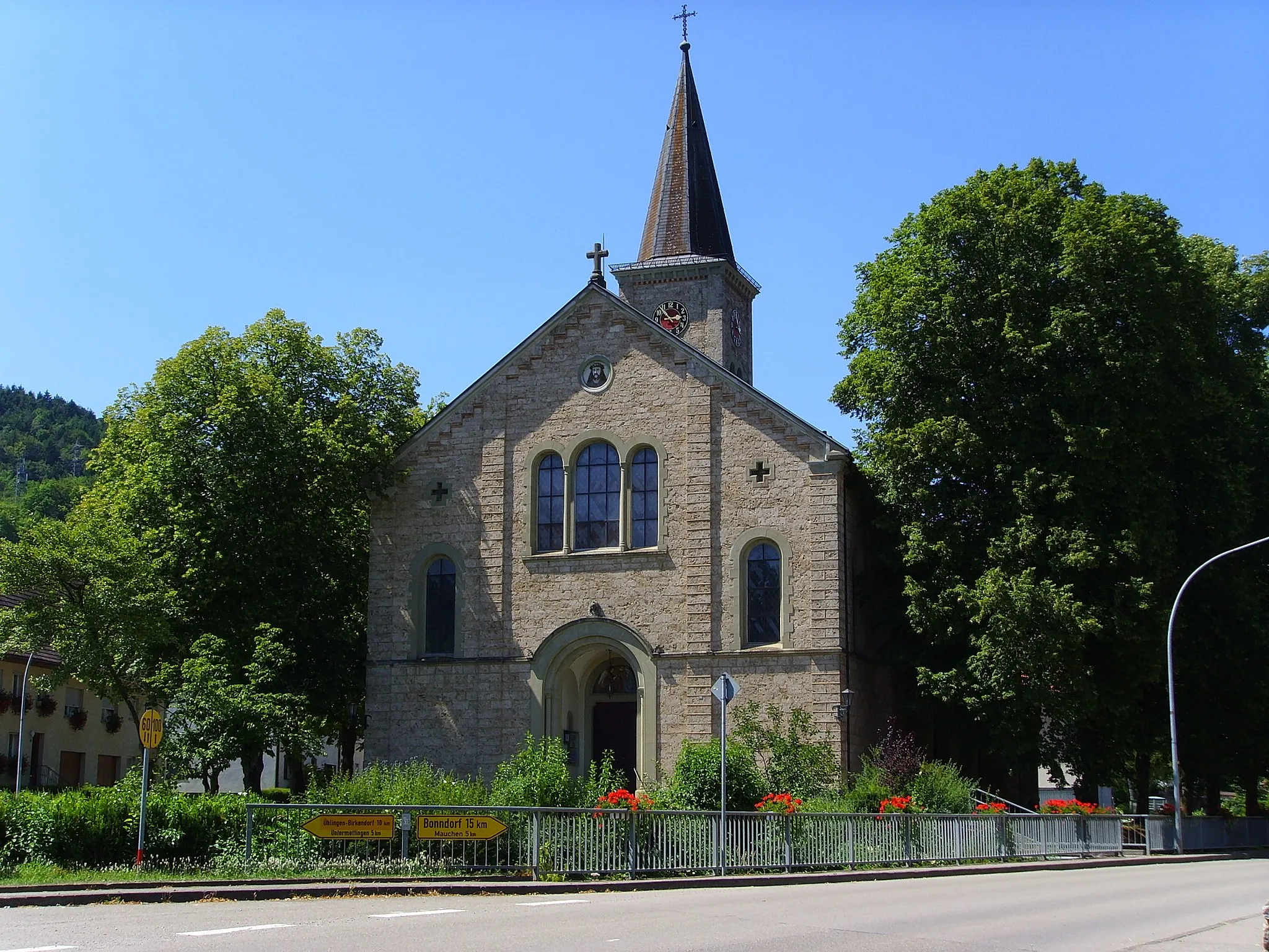
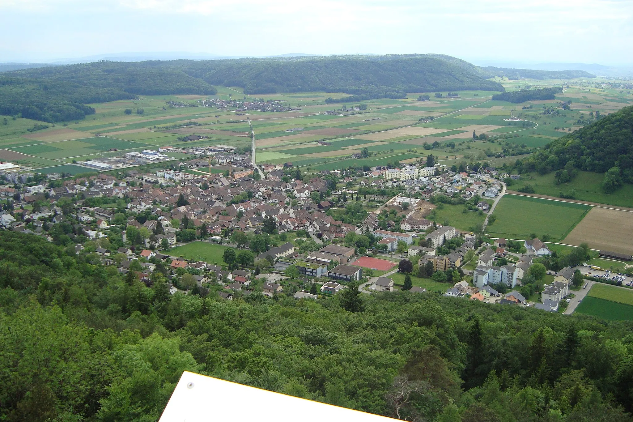
GottmadingenVillageGottmadingen, located at the 39 km mark, is a charming town with traditional German architecture and a vibrant atmosphere
47 km
47 km
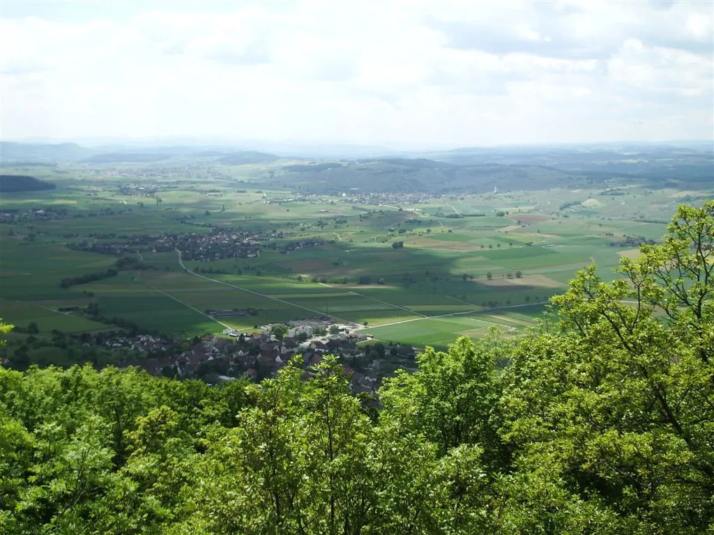
Wolkensteinerberg608 mPeak ViewpointWolkensteinerberg, at the 47 km mark, is a natural hotspot with stunning views of the surrounding landscape and peaceful hiking trails
50 km
50 km
Stein am RheinAttractionStein am Rhein, situated at the 50 km mark, is a fairytale-like town famous for its well-preserved medieval old town and picturesque waterfront
63 km
63 km
Dachsbühl512 mPeakDachsbühl, located at the 63 km mark, is a charming village surrounded by scenic countryside, perfect for a rest stop
74 km
74 km
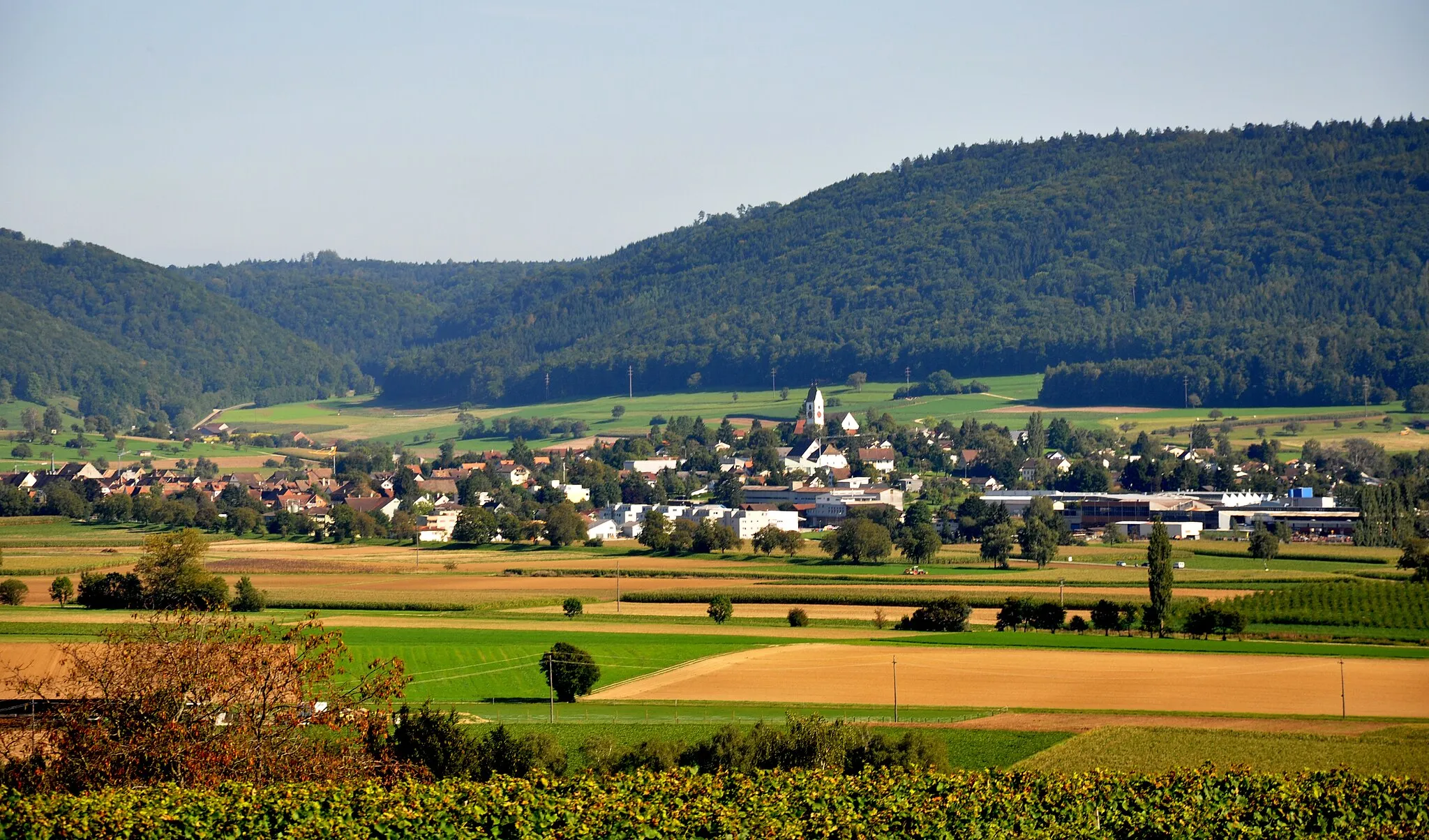
MarthalenVillageMarthalen, at the 74 km mark, is renowned for its beautiful landscape, vineyards, and excellent wine production
84 km
84 km
BelvedereViewpointBelvedere offers breathtaking views of the surrounding Swiss Alps and breathtaking overlooks, located at the 84 km mark
84 km
84 km
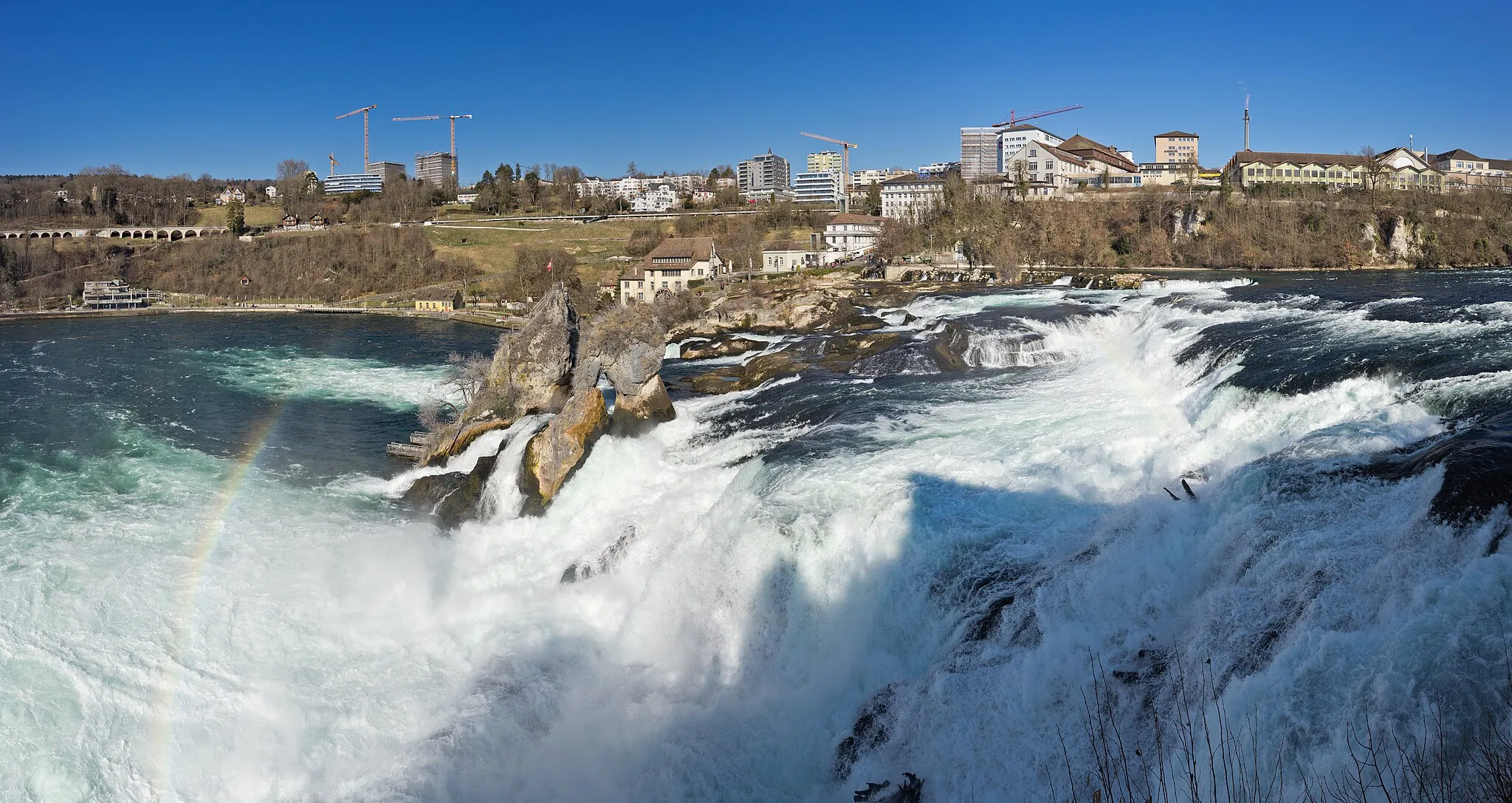
NeuhausenTownNeuhausen, at the 84 km mark, is home to the majestic Rhine Falls, the largest waterfall in Europe, offering a spectacular natural wonder
94 km
94 km
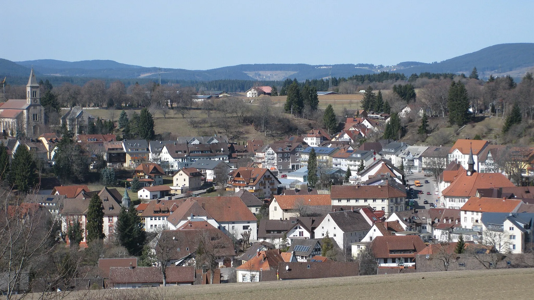
NeunkirchVillageNeunkirch, at the 94 km mark, is an idyllic village with traditional half-timbered houses and picturesque countryside views
98 km
98 km
Siblingerhöhe554 mMountain PassLocated near the end of the route, Siblingerhöhe offers scenic viewpoints and sweeping panoramas over the rolling hills
105 km
105 km
Finish: Stühlingen Village centerStühlingen: Thrilling rides and famous climbs in a stunning natural setting.
Cycling routes nearby: