Gravel Adventure to Dietenschwander Kopf
A gravel cycling route starting from Wehr
Ride through picturesque landscapes and challenging terrains
Map
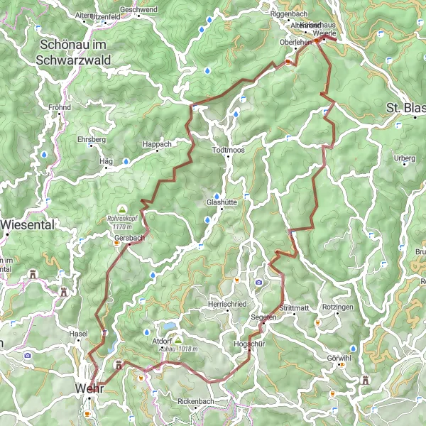
This gravel route takes you through diverse natural sceneries and challenging terrains. Starting near Wehr, the ride includes highlights such as Dietenschwander Kopf, an impressive viewpoint offering stunning views across the region. The route also passes through Hochkopf, Wehr, and Mutterslehen, providing a mix of natural beauty and historical landmarks. With a total ascent of 1803m over a distance of 69km, this route is suitable for experienced gravel cyclists looking for an adventure.
gravel
69 km
1803 m
Tough
Route profile
Highlights on the route
0 km
0 km
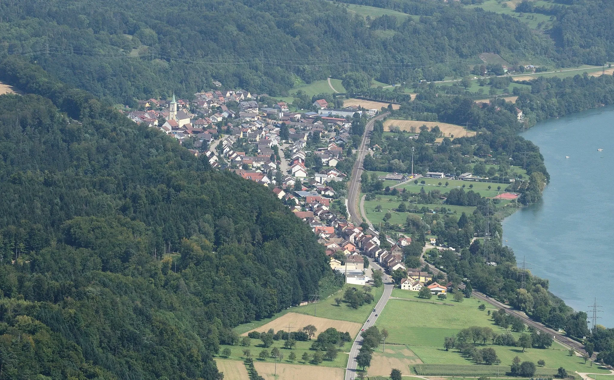
Start: Wehr City centerWehr: Nature and cycling combined in Freiburg, Germany
Wehr, located in Freiburg, Germany, is a charming locality for road and gravel cycling. The region features beautiful natural landscapes, including dense forests and rolling hills. Cyclists can explore the numerous cycling routes that pass through picturesque villages and along peaceful rivers. Wehr itself is a small town with a friendly atmosphere and cozy cafes. Cyclists can also visit nearby spots such as the famous Belchenstrasse climb, which offers incredible views of the surrounding area. Overall, Wehr provides a delightful cycling experience for both road and gravel cyclists.14 km
14 km
Dietenschwander Kopf1099 mPeakDietenschwander Kopf offers panoramic views of the surrounding landscapes.
22 km
22 km
Hochkopf1263 mPeak ViewpointHochkopf provides a challenging climb with rewarding views at the top.
27 km
27 km
Information ZauberwaldShelterInformation Zauberwald is a serene forested area with signage explaining the local flora.
34 km
34 km
Rechberg1086 mPeakRechberg is a quaint village along the route, perfect for a mid-ride break.
37 km
37 km
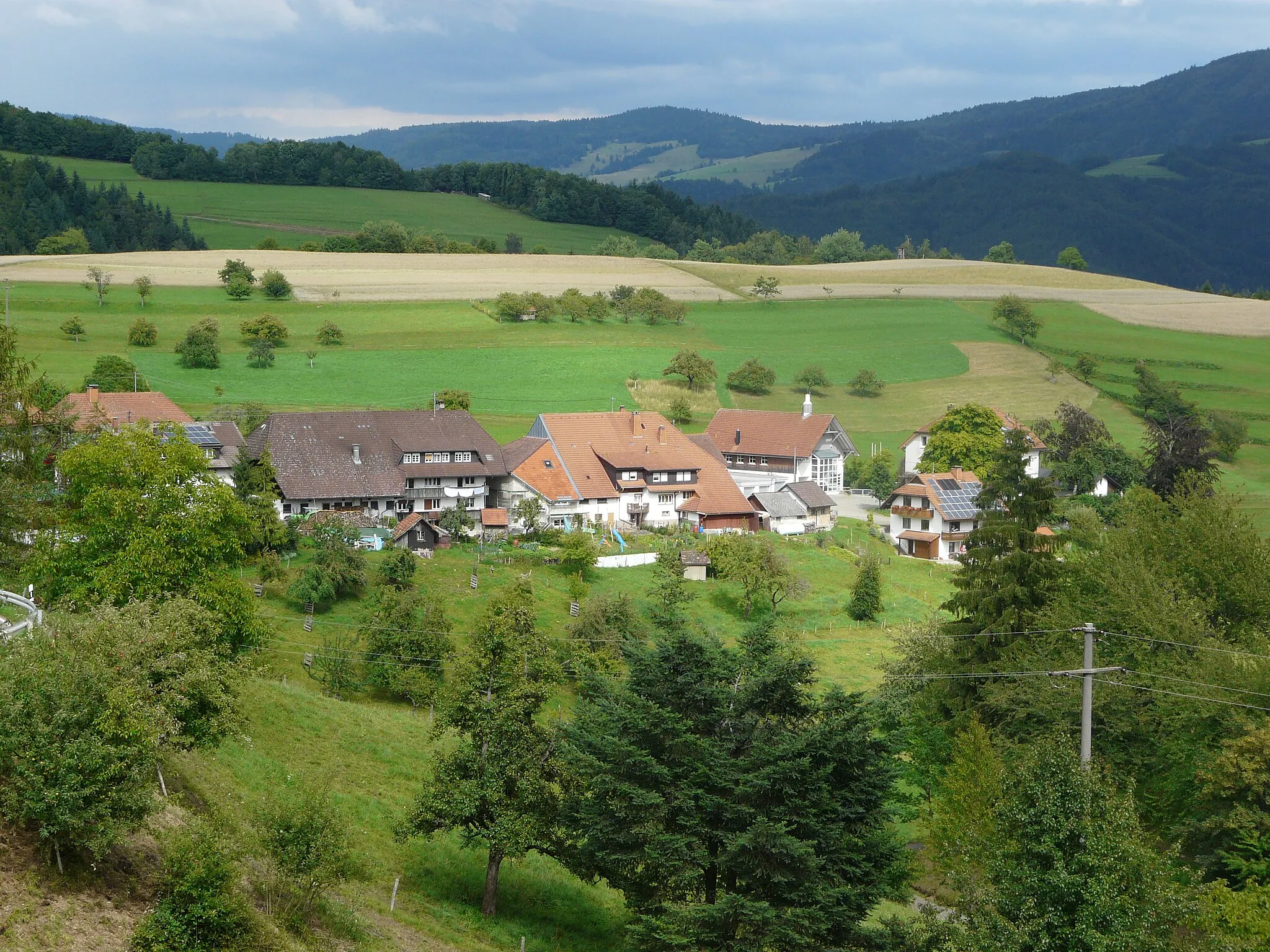
MutterslehenHamletMutterslehen is an ancient hilltop settlement worth exploring.
54 km
54 km
Schafbühl902 mPeakSchafbühl is known for its scenic pasture and grazing animals.
55 km
55 km
SegetenVillageSegeten is a charming rural village with traditional architecture.
65 km
65 km
Heuberg886 mPeakHeuberg offers a challenging climb rewarded with stunning views.
69 km
69 km
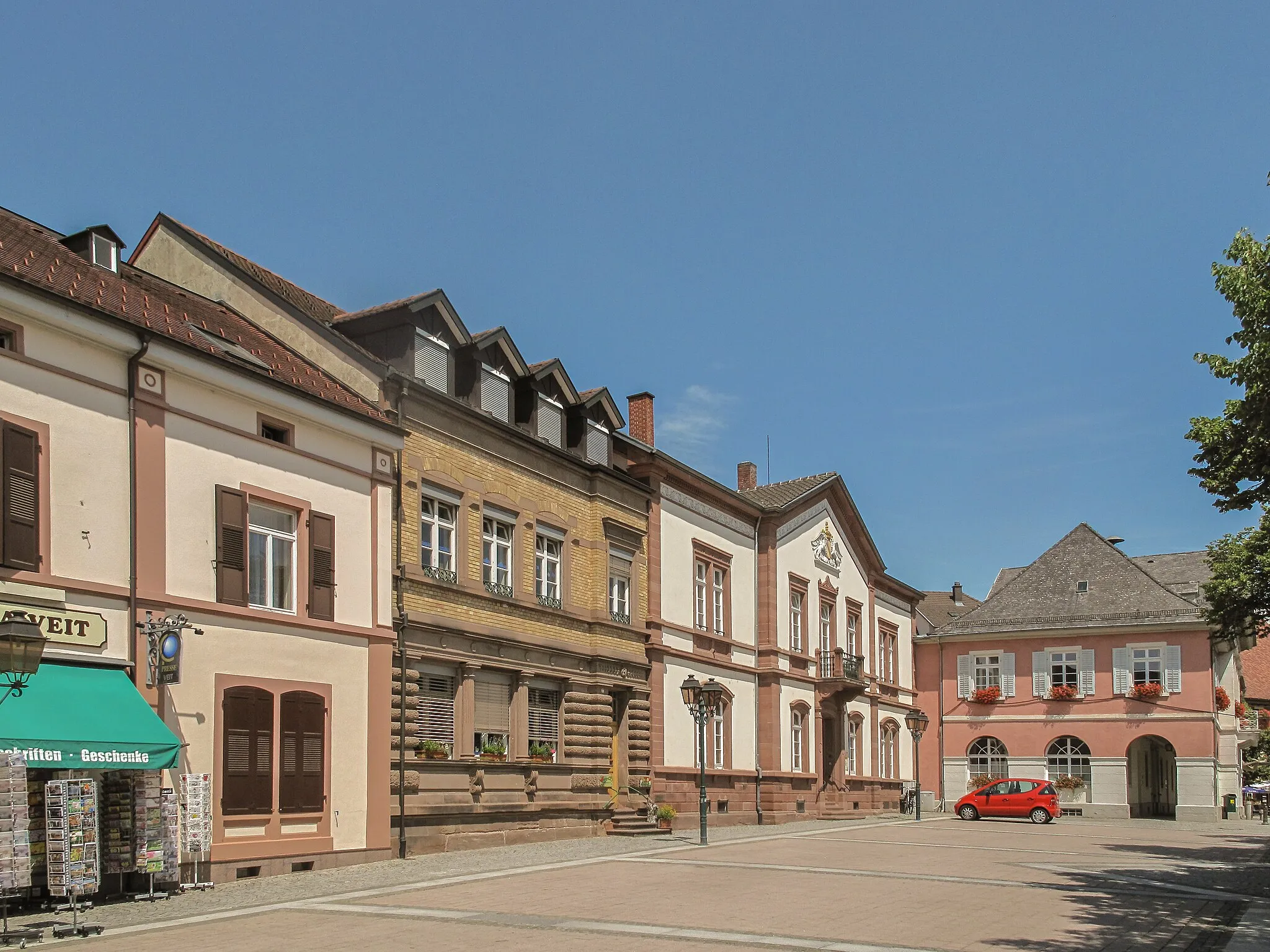
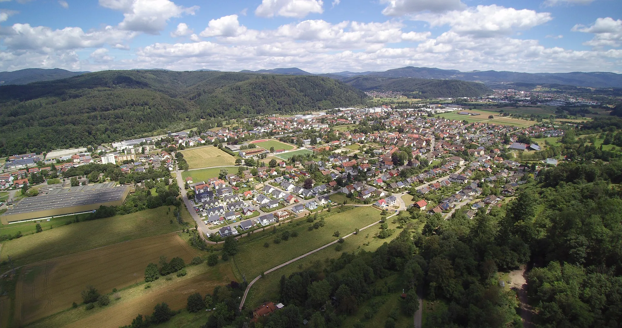
WehrTownWehr is a historical town steeped in medieval charm.
69 km
69 km
Finish: Wehr City centerWehr: Nature and cycling combined in Freiburg, Germany
Cycling routes from Wehr:
The Ultimate Road Cycling Challenge: Staffelegg Pass Munster pilgrimage route Gravel Adventure to Dietenschwander Kopf Werrach Castle Gravel Loop Rohrenkopf and Burg Werrach Gravel Adventure Rhine River Loop Scenic Gravel Loop around Wehr Hochrhein Challenge Hinterhoheneck and Bad Säckingen Loop Black Forest Gravel Adventure The Black Forest Adventure Riverside Delight Mountain Peaks Odyssey
Cycling routes nearby: