Vitibuckturm Route
A road cycling route starting from Weilheim
Experience the stunning Vitibuckturm tower along this road cycling route
Map
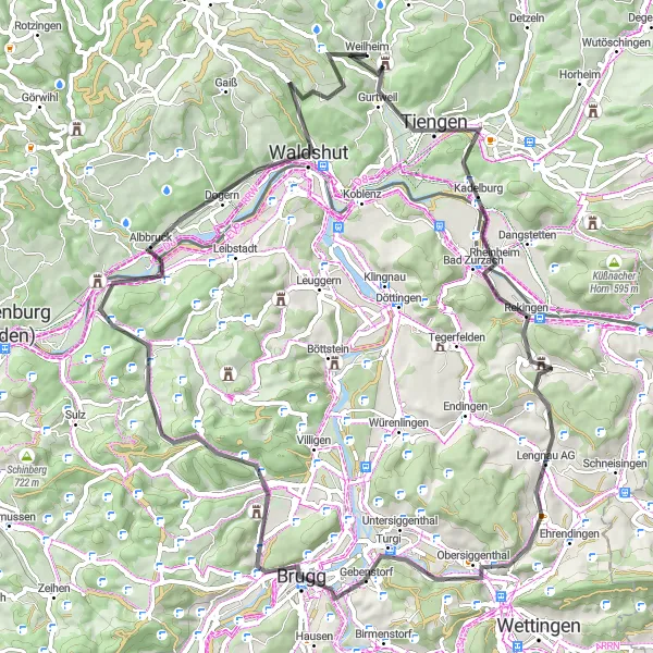
Enjoy a road cycling adventure on this distinctive route that showcases the beauty of the region. With a total distance of 76 kilometers and an ascent of 1201 meters, the Vitibuckturm Route is suitable for well-trained amateurs. The route is known for its breathtaking views and includes highlights such as Bad Zurzach, Martinsberg, Brugg, Geissberg, Albbruck, and Alpensteinbock.
road
76 km
1201 m
Tough
Route profile
Highlights on the route
0 km
0 km
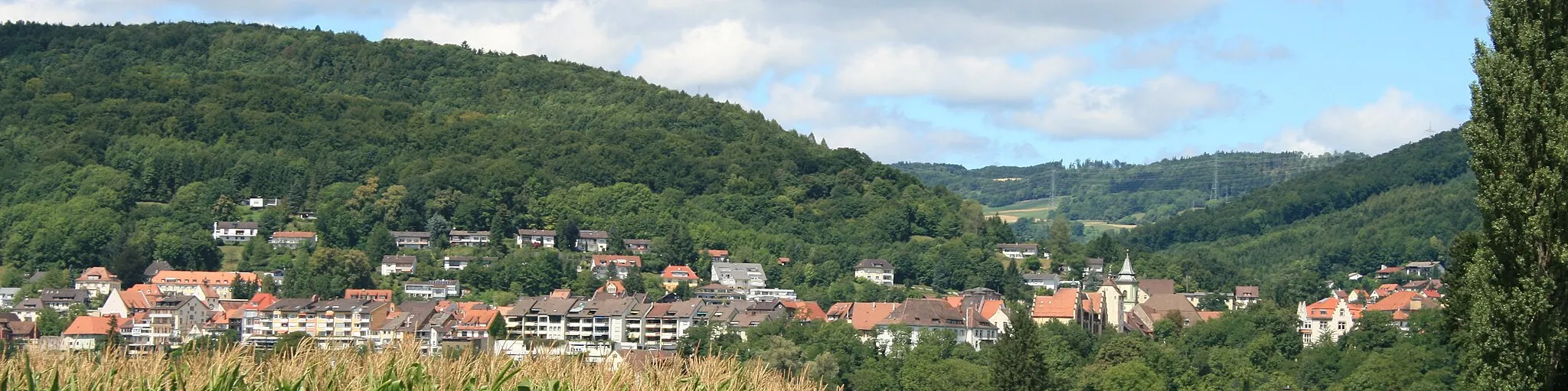
Start: Weilheim Village centerWeilheim: Discover Weilheim's cycling wonders
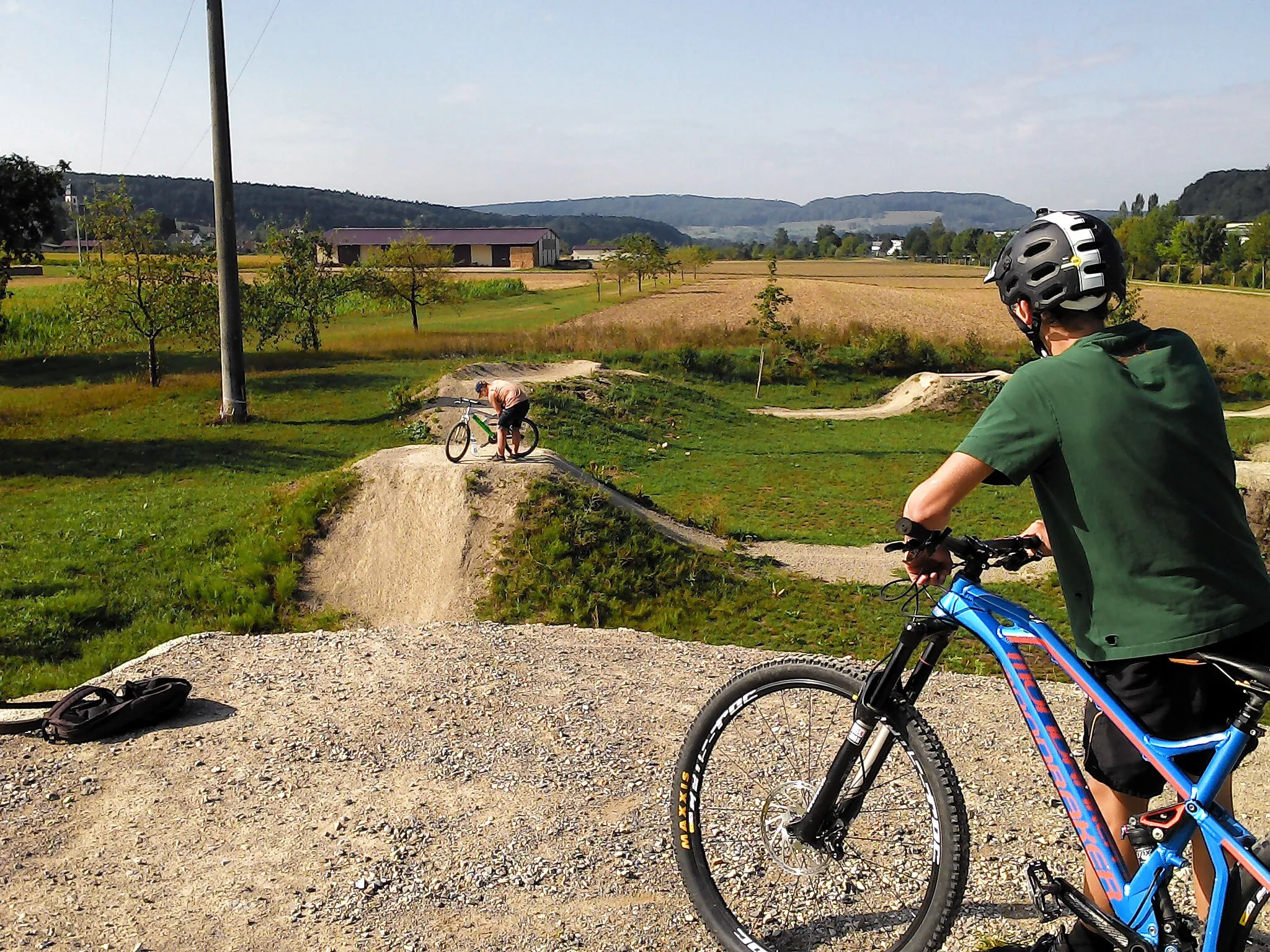
Weilheim, situated in the Freiburg region of Germany, offers a diverse range of cycling opportunities. As a cyclist, you can enjoy riding through vineyards, rolling hills, and picturesque villages. The well-maintained roads and beautiful scenery make Weilheim a popular destination for road and gravel cyclists. Additionally, the Black Forest is nearby, providing endless possibilities for challenging climbs and breathtaking views. Whether you prefer leisurely rides or intense climbs, Weilheim has something to offer every cyclist.6 km
6 km
VitibuckturmViewpointVitibuckturm offers panoramic views of the surrounding landscape.
14 km
14 km
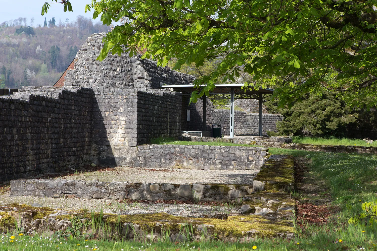
Bad ZurzachVillageBad Zurzach is a charming town with historic buildings and thermal baths.
30 km
30 km
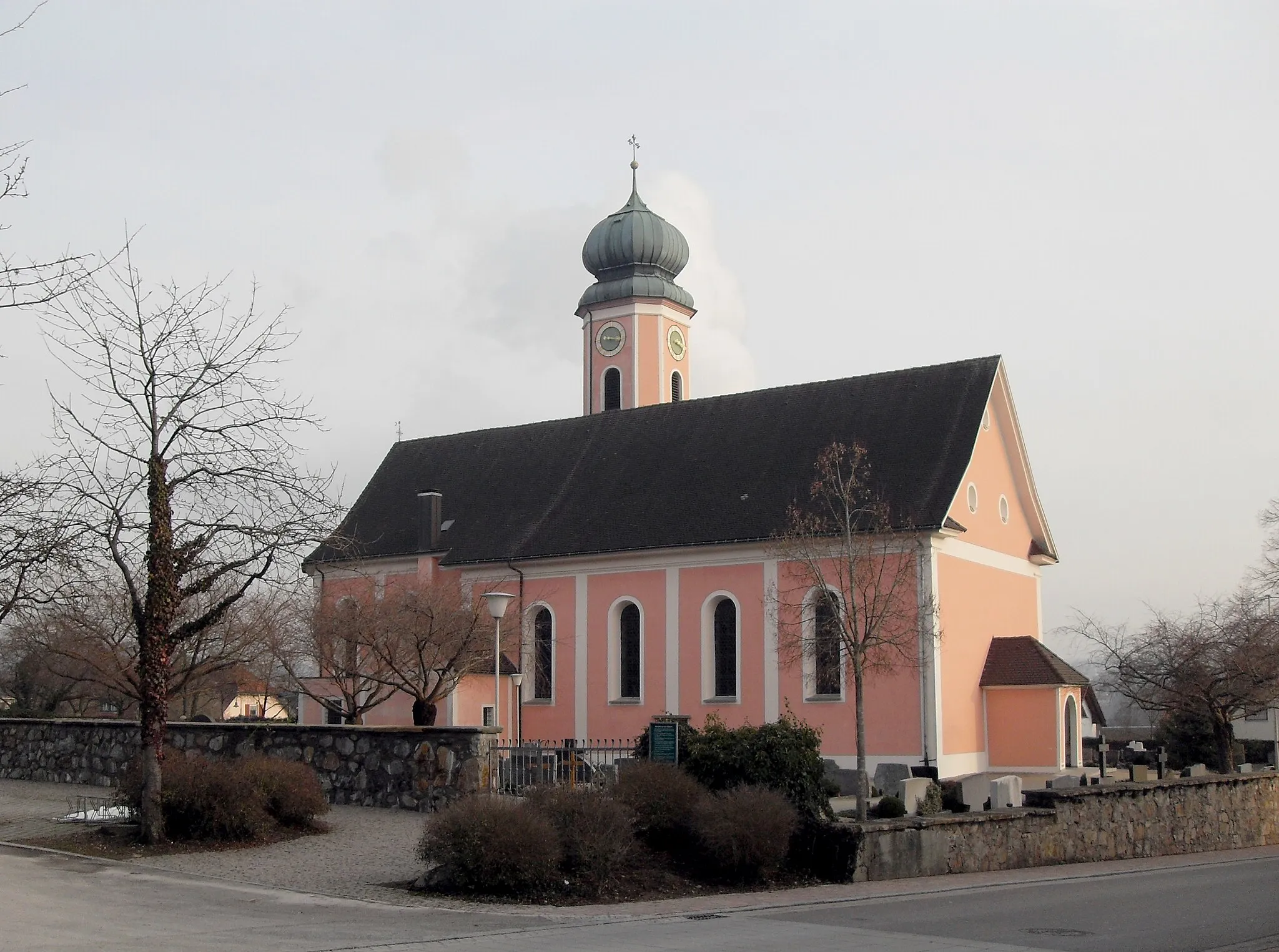
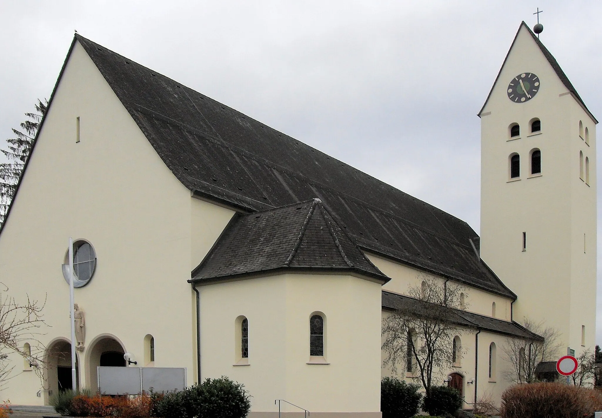
Martinsberg499 mPeakMartinsberg boasts a hilltop chapel with picturesque surroundings.
39 km
39 km
BruggTownBrugg features a scenic old town with several beautiful bridges.
47 km
47 km
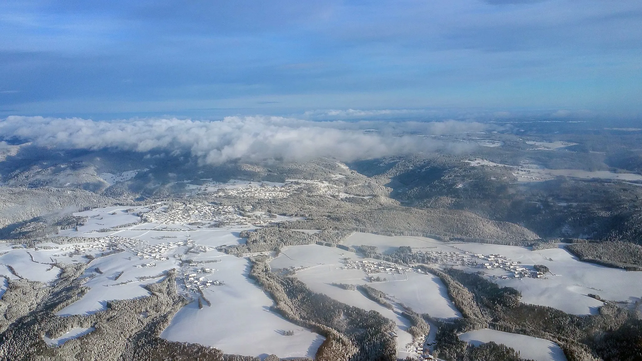
Geissberg700 mPeakGeissberg offers stunning views of the Rhine Valley.
60 km
60 km
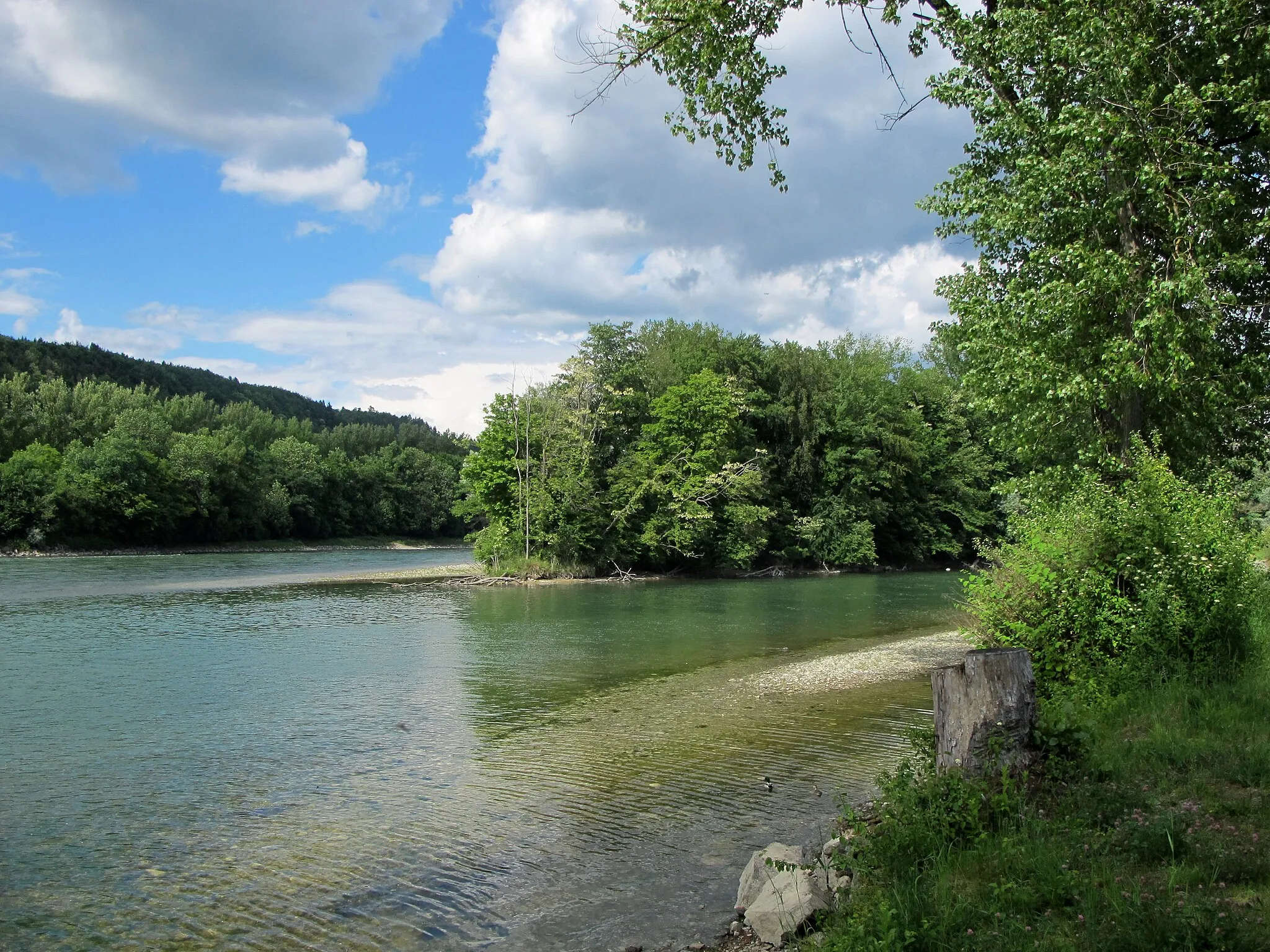
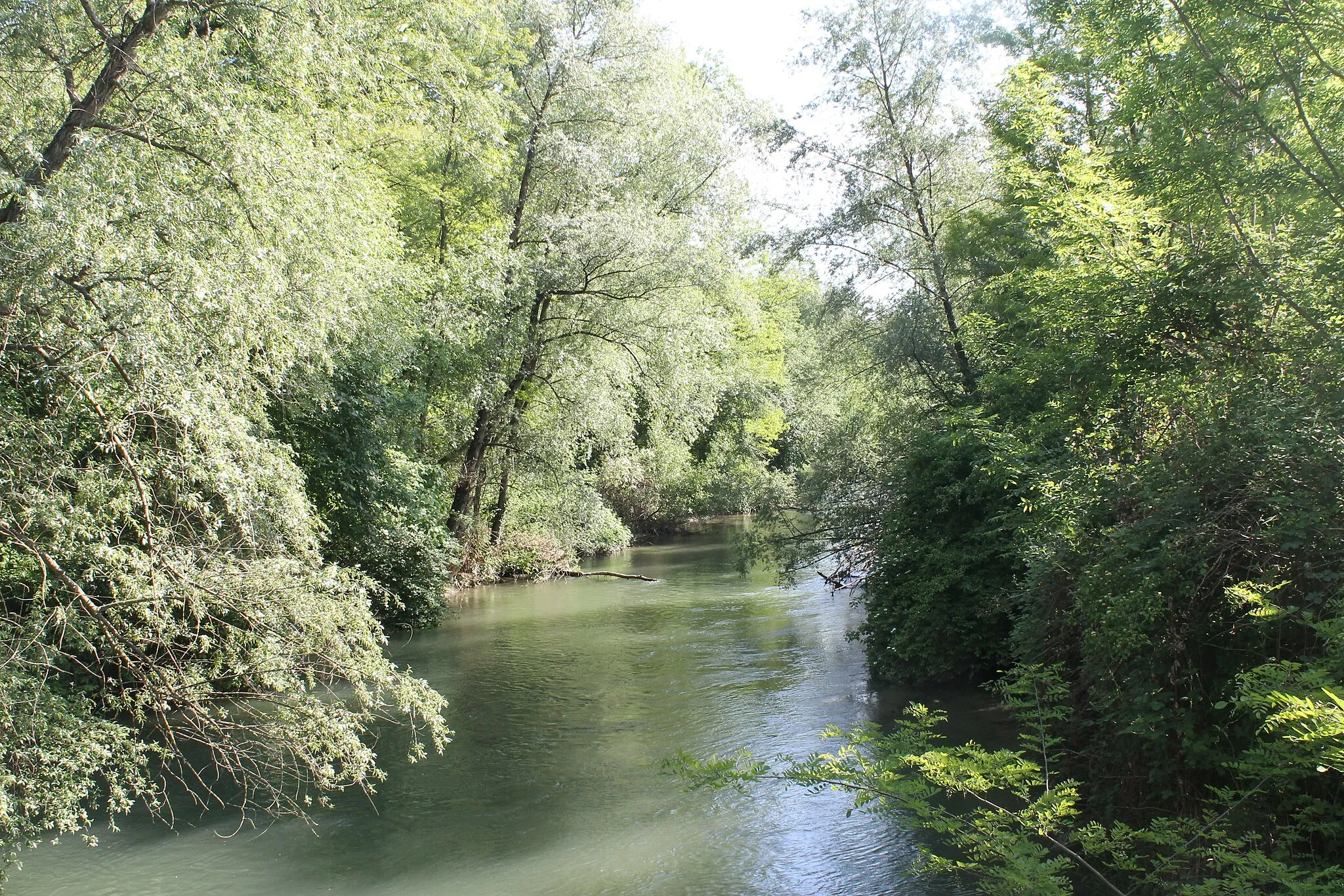
AlbbruckVillageAlbbruck is a peaceful town located on the banks of the River Rhine.
68 km
68 km
AlpensteinbockViewpointAlpensteinbock is a nature reserve known for its mountain goats.
74 km
74 km
IndlekofenVillageIndlekofen is a small village surrounded by idyllic countryside.
76 km
76 km
Finish: Weilheim Village centerWeilheim: Discover Weilheim's cycling wonders
Cycling routes nearby: