Thurauen Challenge
A gravel cycling route starting from Wutoeschingen
Take on the Thurauen Challenge, an 81 km gravel route filled with adventure
Map
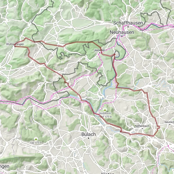
The Thurauen Challenge is an 81 km long gravel route with a total ascent of 1212 meters. It starts near Wutöschingen and showcases the diverse natural beauty of the region. With highlights such as Landfrauen-Bänkli at 11 km, Jestetten at 19 km, the Aussichtsplattform Thurauen at 29 km, Taggenberg at 47 km, Pfungen at 49 km, Eglisau at 62 km, and Hornbuck at 72 km, this route promises an epic cycling experience.
gravel
81 km
1212 m
Savage
Route profile
Highlights on the route
0 km
0 km
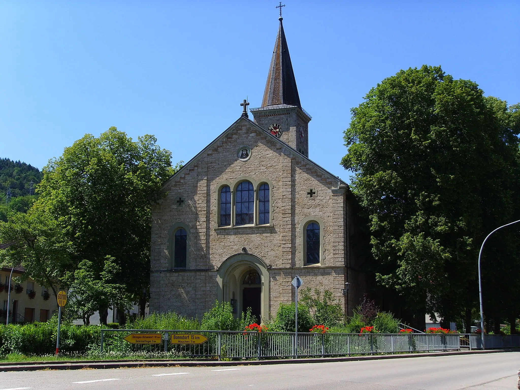
Start: Wutöschingen Village centerWutöschingen: Cycling haven in Freiburg, Germany
Wutöschingen, located in the Freiburg region of Germany, is a cyclist's paradise. The town offers a plethora of cycling routes that cater to all skill levels, from leisurely rides along the Rhine River to challenging ascents in the Black Forest. Wutöschingen provides cycling amenities such as bike rentals and repair shops, making it convenient for cyclists to explore the area. Additionally, the town is known for its proximity to the famous Feldberg, the highest peak in the Black Forest and a popular destination for cyclists seeking thrilling climbs and stunning vistas. With its diverse cycling options and natural beauty, Wutöschingen is a top choice for road and gravel cycling enthusiasts.0 km
0 km
WutöschingenVillageWutöschingen, the starting and ending point of this route, is a serene town nestled in the Black Forest with picturesque landscapes.
11 km
11 km
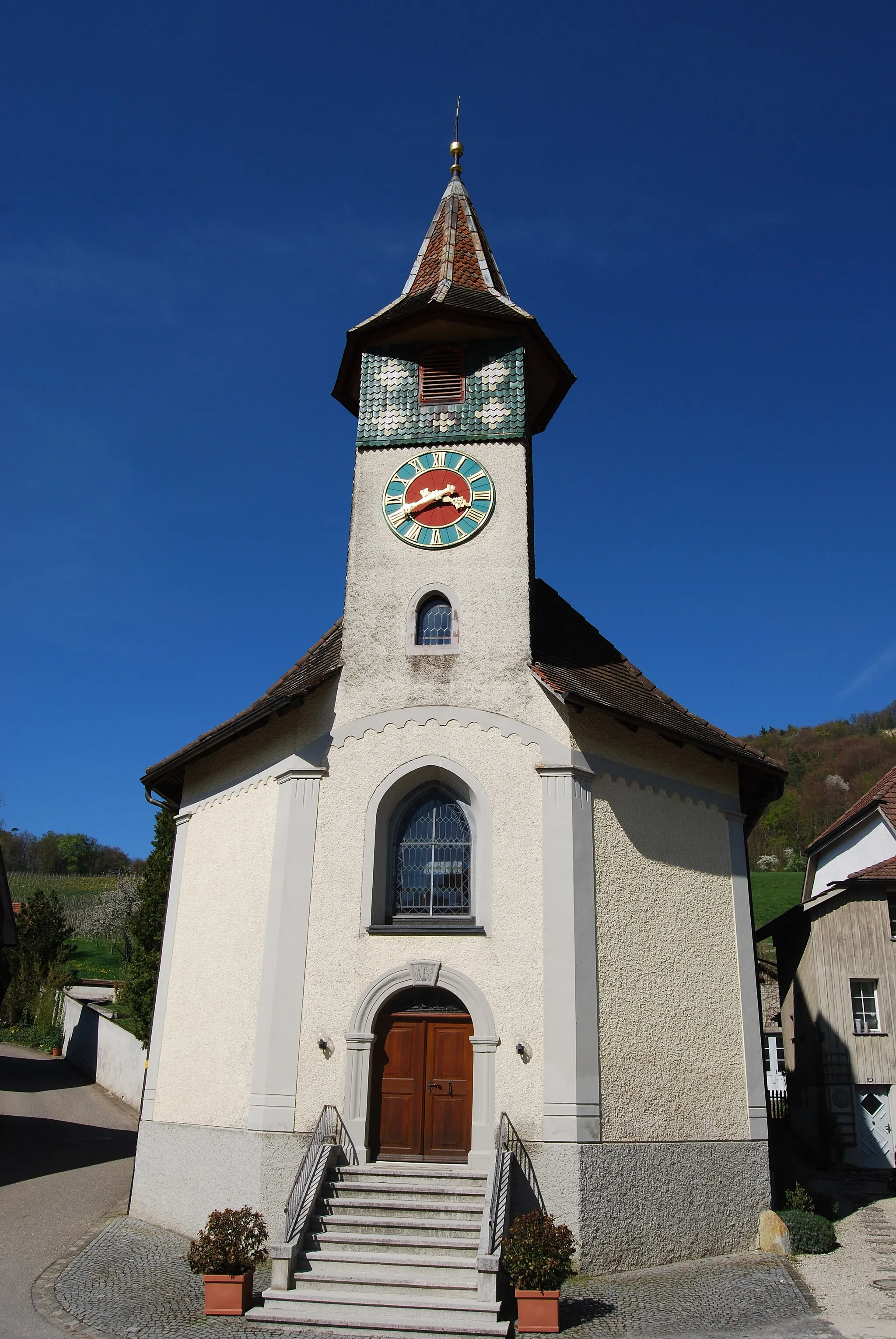
Landfrauen-BänkliViewpointStop by Landfrauen-Bänkli at 11 km, a scenic viewpoint offering stunning panoramic views of the surrounding countryside.
19 km
19 km
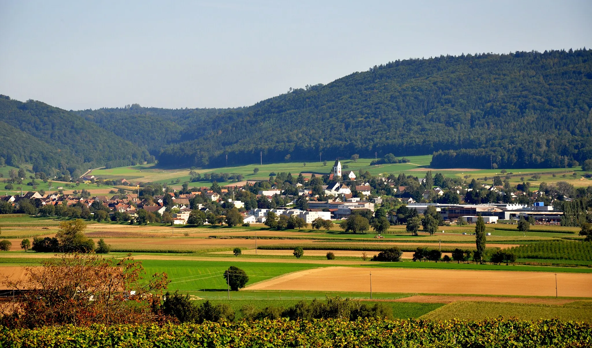
JestettenVillageAt 19 km, you'll reach Jestetten, a charming town with a lively farmers market and well-preserved historic buildings.
29 km
29 km
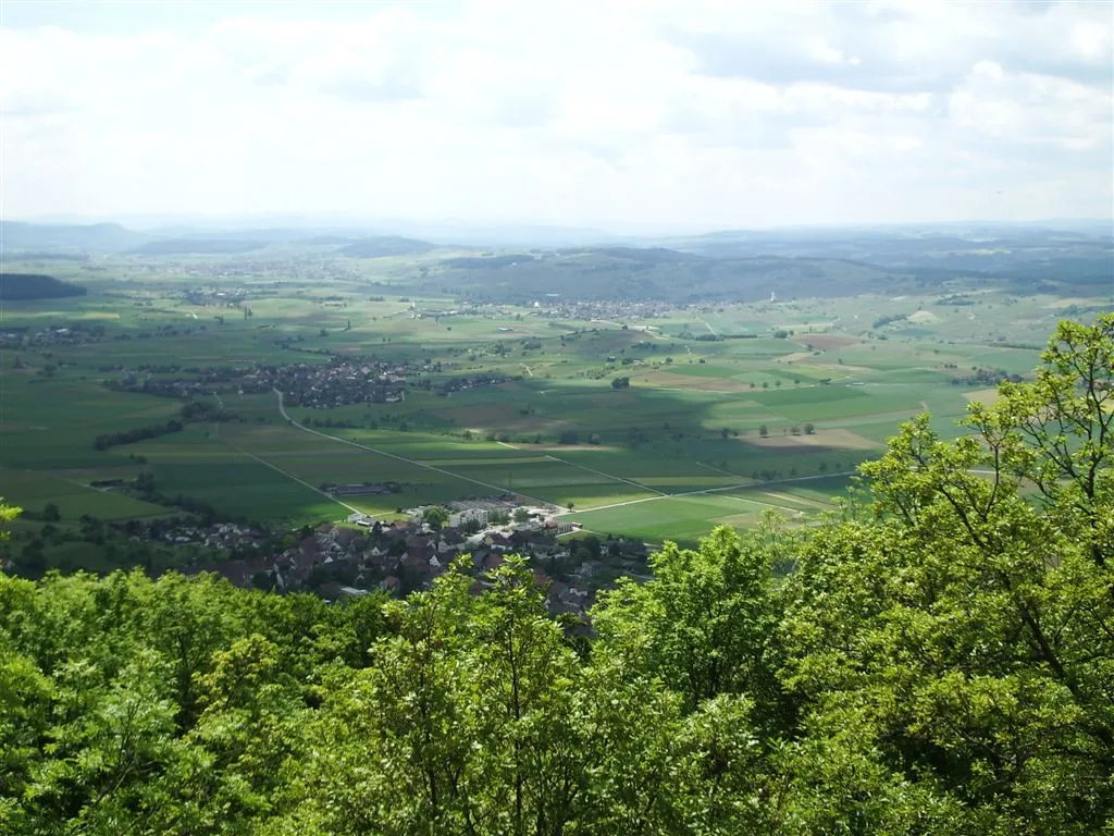
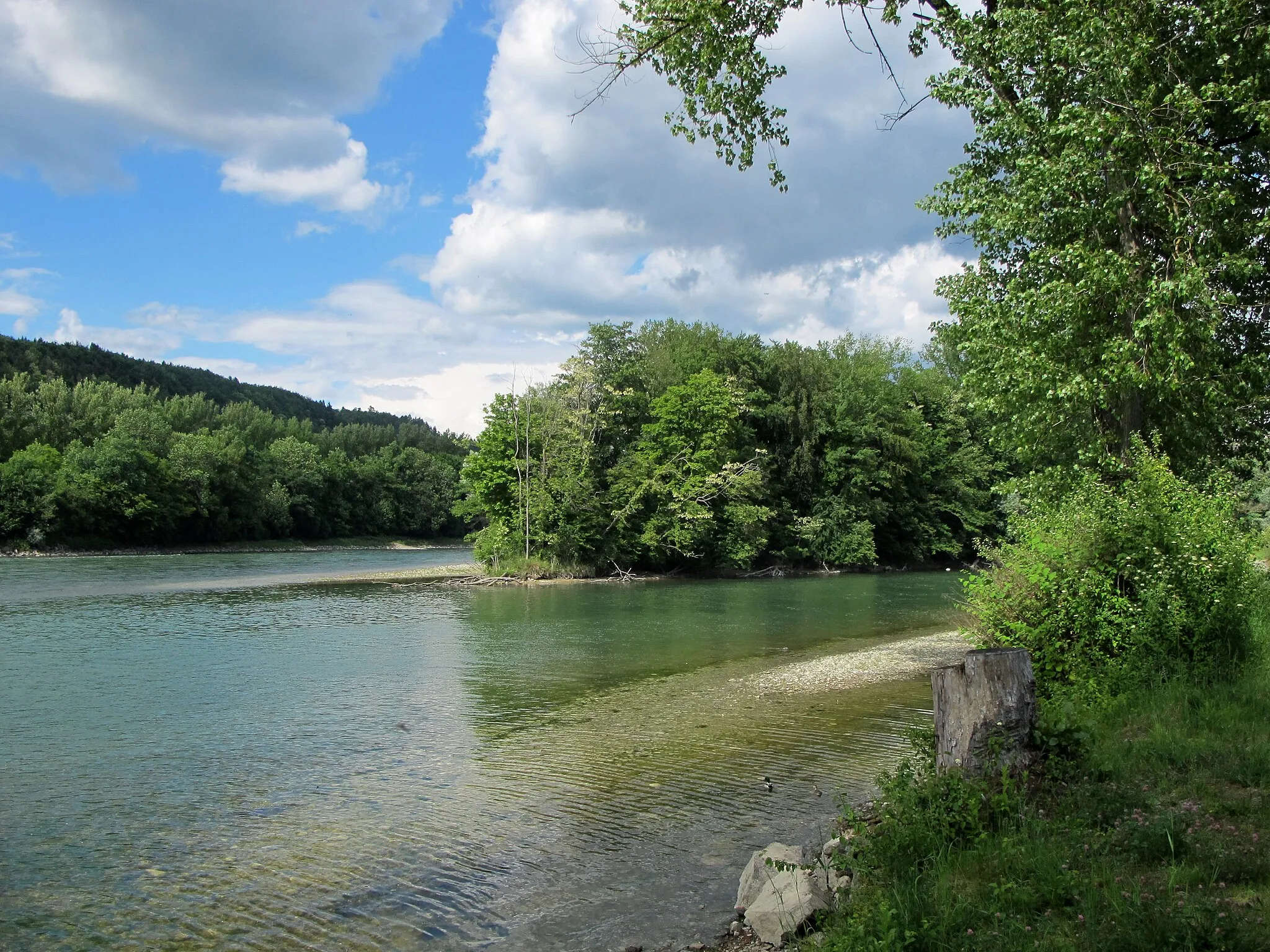
Aussichtsplattform ThurauenViewpointExperience the beauty of Thurauen at 29 km, where you'll find an impressive viewing platform overlooking the vibrant wetlands.
47 km
47 km
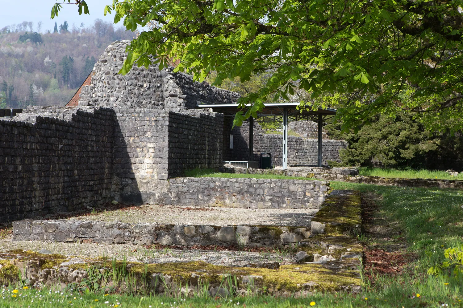
Taggenberg511 mPeakTaggenberg, situated at 47 km, is home to a magnificent castle nestled amidst rolling hills and lush vineyards.
49 km
49 km
PfungenVillagePfungen, located at 49 km, is a picturesque village with a rich history and a charming town center.
62 km
62 km
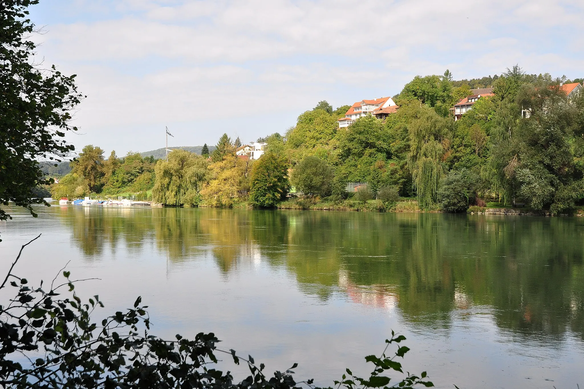
EglisauVillageAt 62 km, you'll reach Eglisau, a medieval town known for its well-preserved half-timbered houses and beautiful river views.
72 km
72 km
HornbuckViewpointHornbuck, situated at 72 km, offers a unique cycling experience with its challenging terrain and stunning panoramic vistas.
81 km
81 km
Finish: Wutöschingen Village centerWutöschingen: Cycling haven in Freiburg, Germany
Cycling routes from Wutoeschingen:
Tales from the Forest Gravel Loop Eggingen Loop Riverside Road Adventure King of Hills - Magnificent Road Tour Rhein Border Thrills Ofteringen Adventure Adventurous Road Cycling in Northern Switzerland Scenic Road Cycling Adventure through Northern Switzerland Ultimate Northern Switzerland Road Cycling Adventure Thurauen Challenge The Forest Loop The Ultimate Challenge The Horn Ride The Alpine Adventure
Cycling routes nearby: