Burg Staufenburg Adventure
A road cycling route starting from Fronhausen
Explore medieval landmarks while conquering challenging climbs.
Map
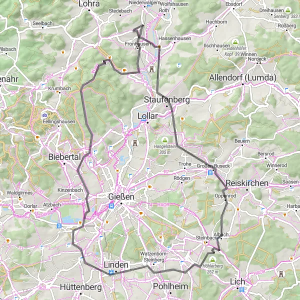
The Burg Staufenburg Adventure is a road cycling route that offers the perfect mix of history and challenging climbs. With a distance of 70 kilometers and an elevation gain of 659 meters, this route is suitable for experienced cyclists. Begin your journey at the majestic Burg Staufenburg and enjoy panoramic views of the surrounding landscape. Pedal through Oberburg Staufenberg and soak in the charm of this picturesque village. Albach offers a peaceful interlude before you tackle the steep climb of Höhlerberg. Finish your adventure in Heuchelheim an der Lahn, where you can relax and reflect on the highlights of your ride.
road
70 km
659 m
Tough
Route profile
Highlights on the route
0 km
0 km
Start: Holzhausen Village centerFronhausen: Tranquil cycling in Gießen
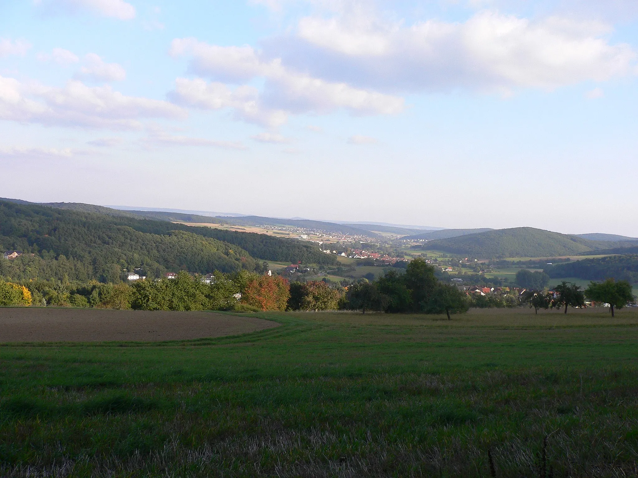
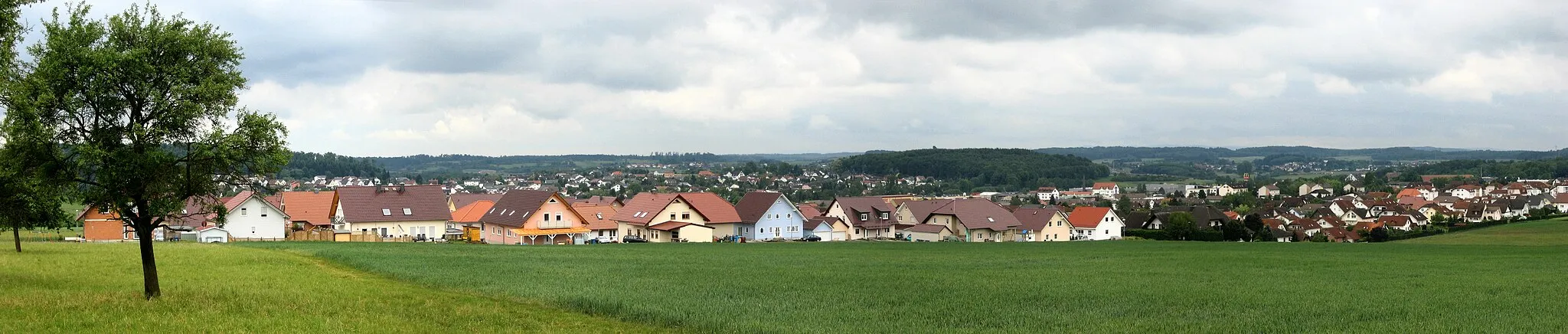
Fronhausen is a small town situated in the Gießen region of Germany. From a cyclist's perspective, Fronhausen offers a mix of road and gravel cycling routes in a tranquil setting. The town is surrounded by green fields and picturesque countryside, providing a peaceful and scenic backdrop for your cycling adventures. A nearby highlight for cyclists is the Lahn River, where you can cycle along its banks and enjoy beautiful views along the way. If you're seeking a serene cycling destination, Fronhausen is a suitable choice. 8 km
8 km
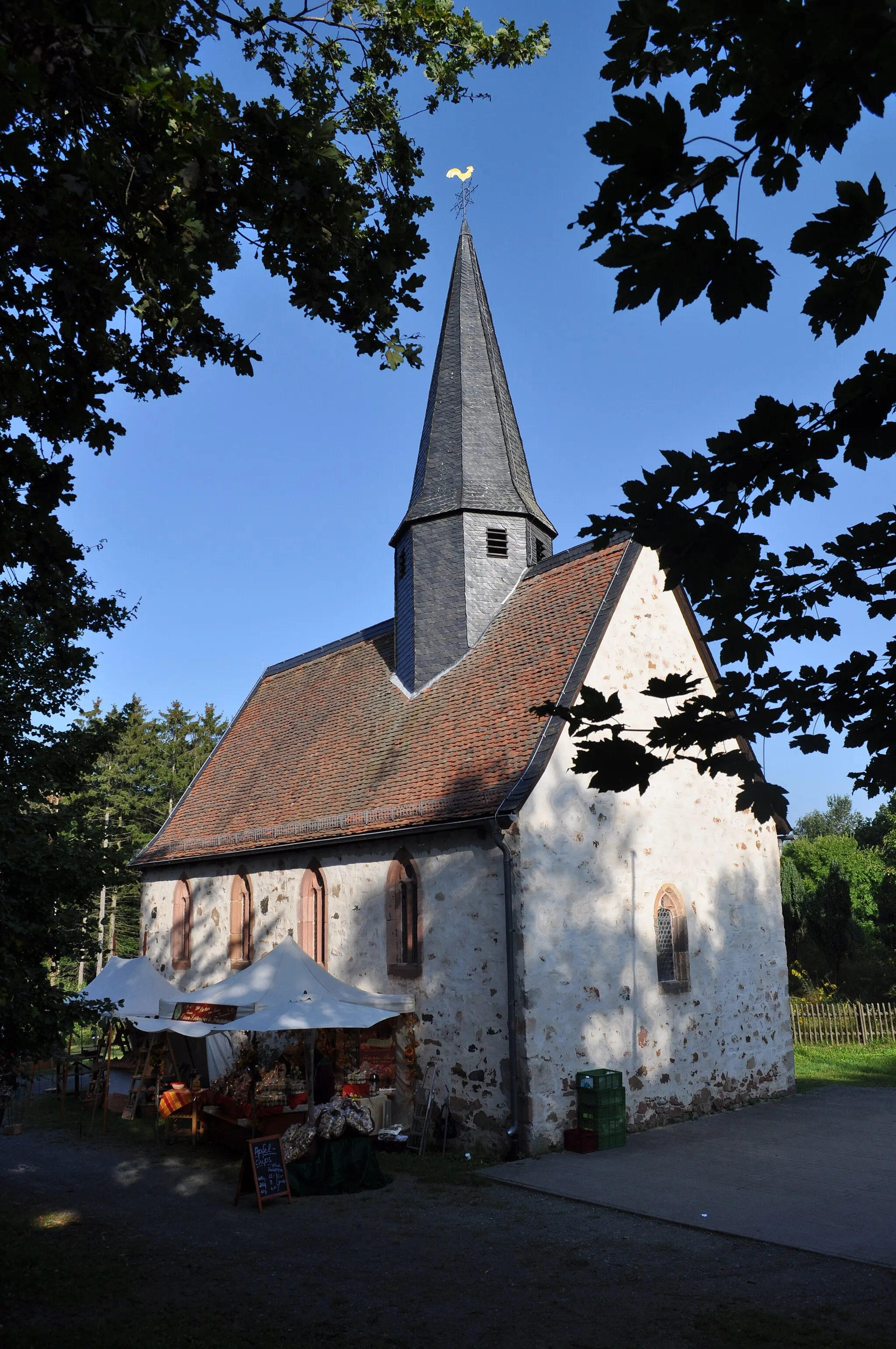
Burg StaufenburgViewpointBurg Staufenburg, a medieval castle with a captivating history and stunning views.
8 km
8 km
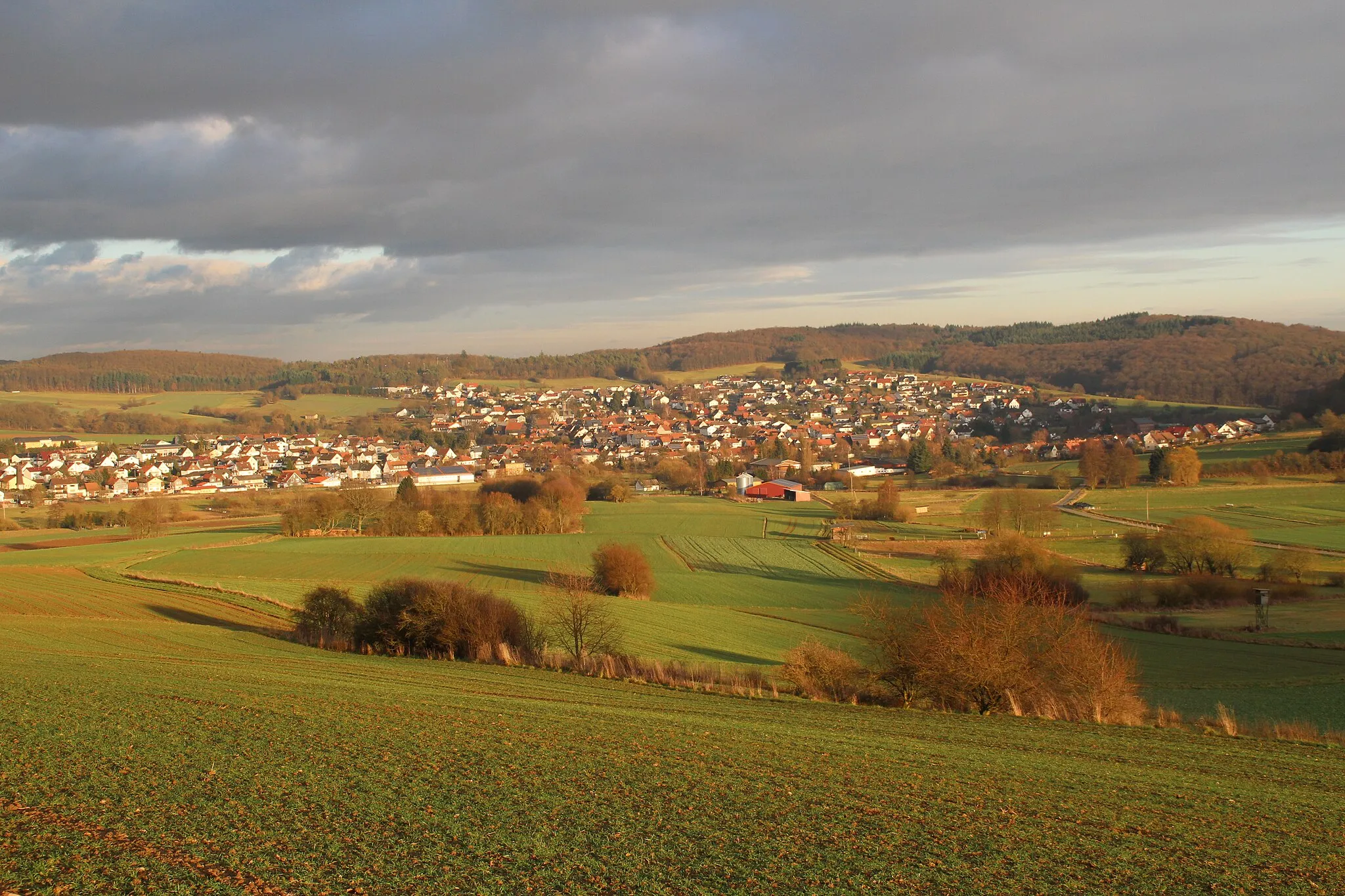
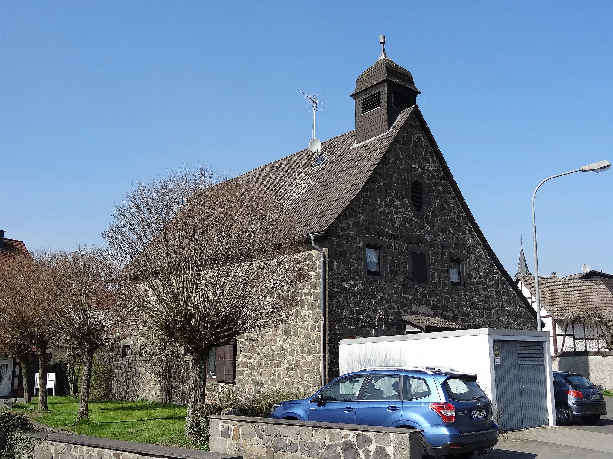
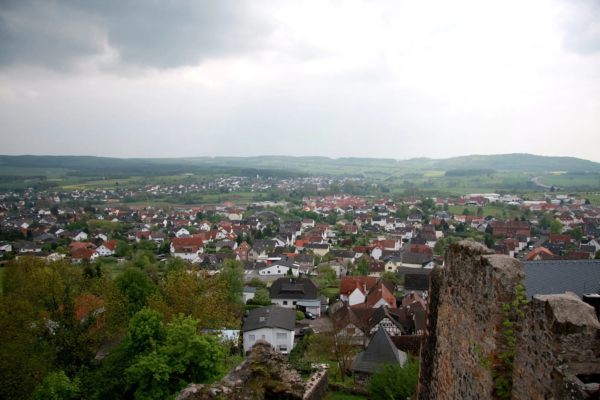
Oberburg StaufenbergCastleOberburg Staufenberg, a charming village with traditional half-timbered houses.
23 km
23 km
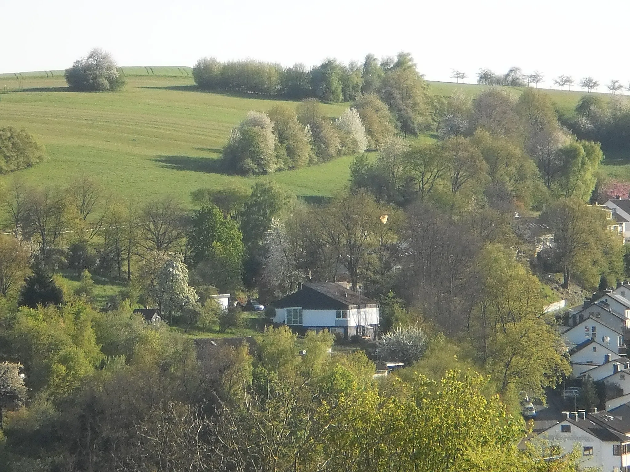
AlbachVillageAlbach, a peaceful village that offers serenity amidst nature's beauty.
26 km
26 km
Höhlerberg262 mPeakHöhlerberg, a challenging climb with rewarding panoramic views from its summit.
46 km
46 km
Heuchelheim an der LahnTownHeuchelheim an der Lahn, a tranquil spot to unwind and reflect on your journey.
50 km
50 km
Gleiberg308 mPeakGleiberg, a hilltop castle that showcases the region's natural and cultural heritage.
67 km
67 km
FronhausenVillageFronhausen, a picturesque village with traditional half-timbered houses.
70 km
70 km
Galgenberg210 mPeakGalgenberg, a steep climb that offers a sense of accomplishment.
70 km
70 km
Finish: Holzhausen Village centerFronhausen: Tranquil cycling in Gießen
Cycling routes nearby: