Rahlstedt Discovery
A road cycling route starting from Sasel
A road cycling route to discover the hidden gems of Rahlstedt
Map
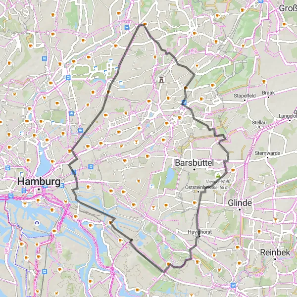
The Rahlstedt Discovery route is a 50-kilometer road cycling route that takes you on a journey to discover the hidden gems of Rahlstedt. With an ascent of 105 meters, this route offers a moderate level of challenge. Cyclists will have the opportunity to explore the charming neighborhood of Rahlstedt, known for its historic buildings and beautiful parks. Other highlights include the Theodor-Wulff-Höhe, offering panoramic views of the surroundings, Oststeinbek with its quaint streets and peaceful ambiance, Borgfelde with its vibrant atmosphere, and Bramfeld with its scenic landscapes. Overall, the Rahlstedt Discovery route is a great choice for cyclists looking to explore the diversity and beauty of Rahlstedt.
road
50 km
105 m
Tough
Route profile
Highlights on the route
0 km
0 km
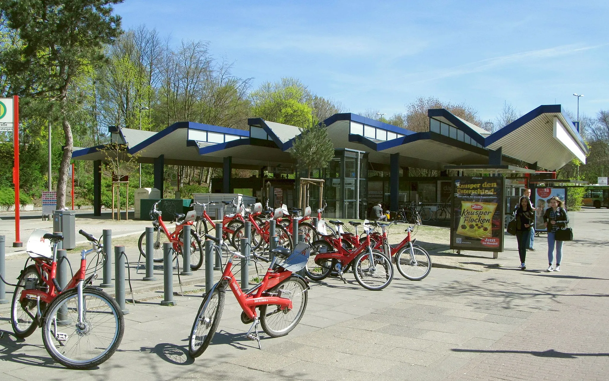
Start: Locality centerSasel: Urban locale with moderate cycling potential.
Sasel, located in Hamburg, Germany, is a predominantly urban locality with limited cycling opportunities. Although Sasel offers some paved paths for leisurely rides, the cycling infrastructure and variety of routes are not its primary strengths. Cyclists may find more enjoyable options by venturing outside the locality to utilize nearby cycling networks like the Alsterwanderweg. However, Sasel's urban amenities and proximity to Hamburg city allow cyclists to combine their ride with other cultural and tourist experiences.8 km
8 km
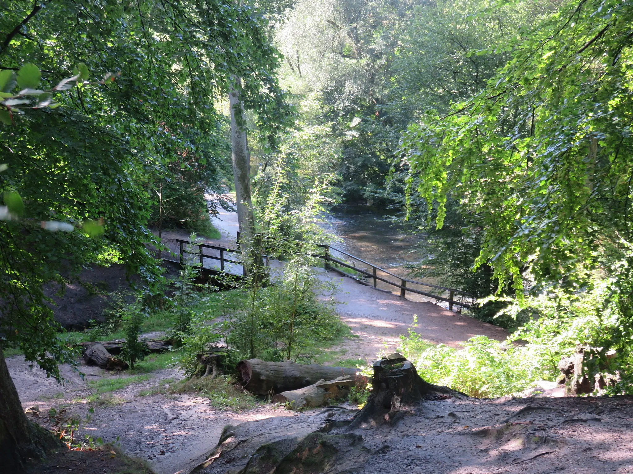
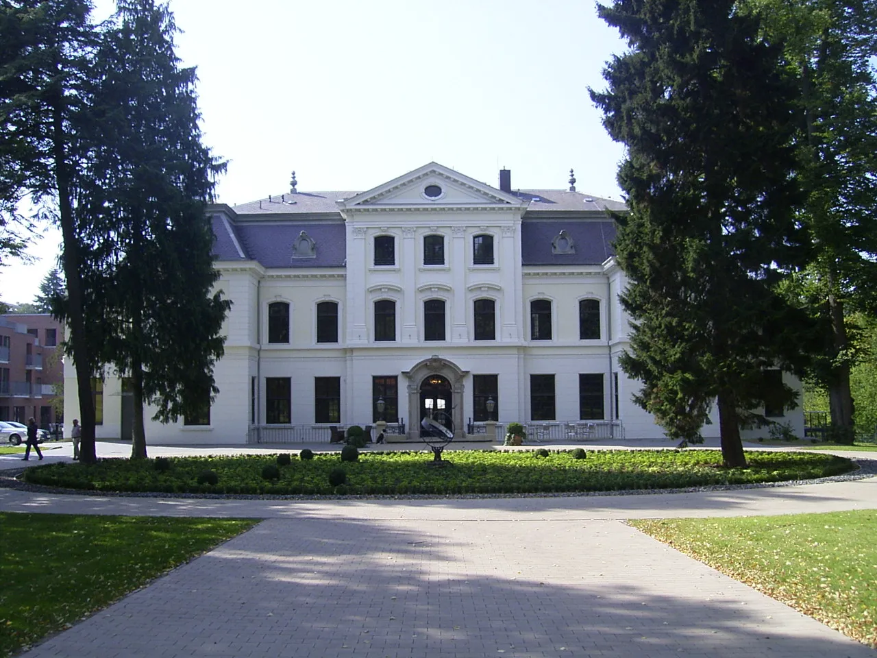
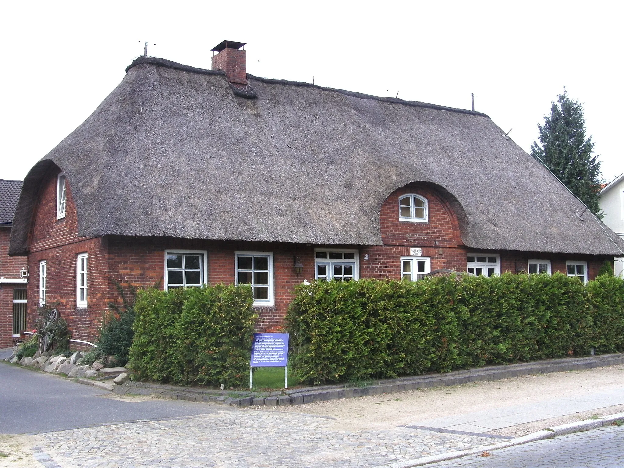
RahlstedtSub-urbExplore Rahlstedt and immerse yourself in its rich history, charming streets, and beautiful parks.
16 km
16 km
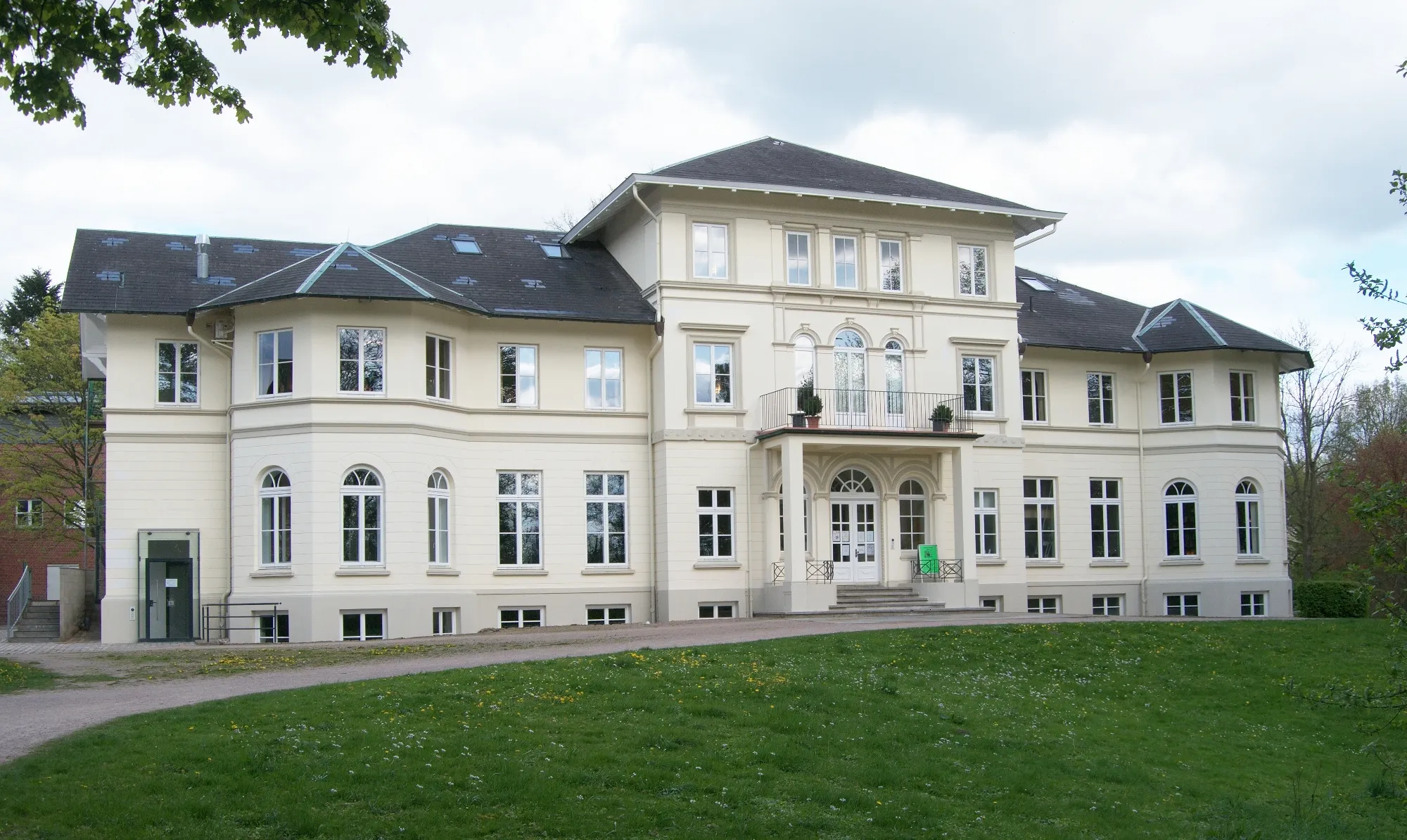
Theodor-Wulff-Höhe55 mPeakVisit the Theodor-Wulff-Höhe and enjoy panoramic views of the surrounding landscape.
18 km
18 km
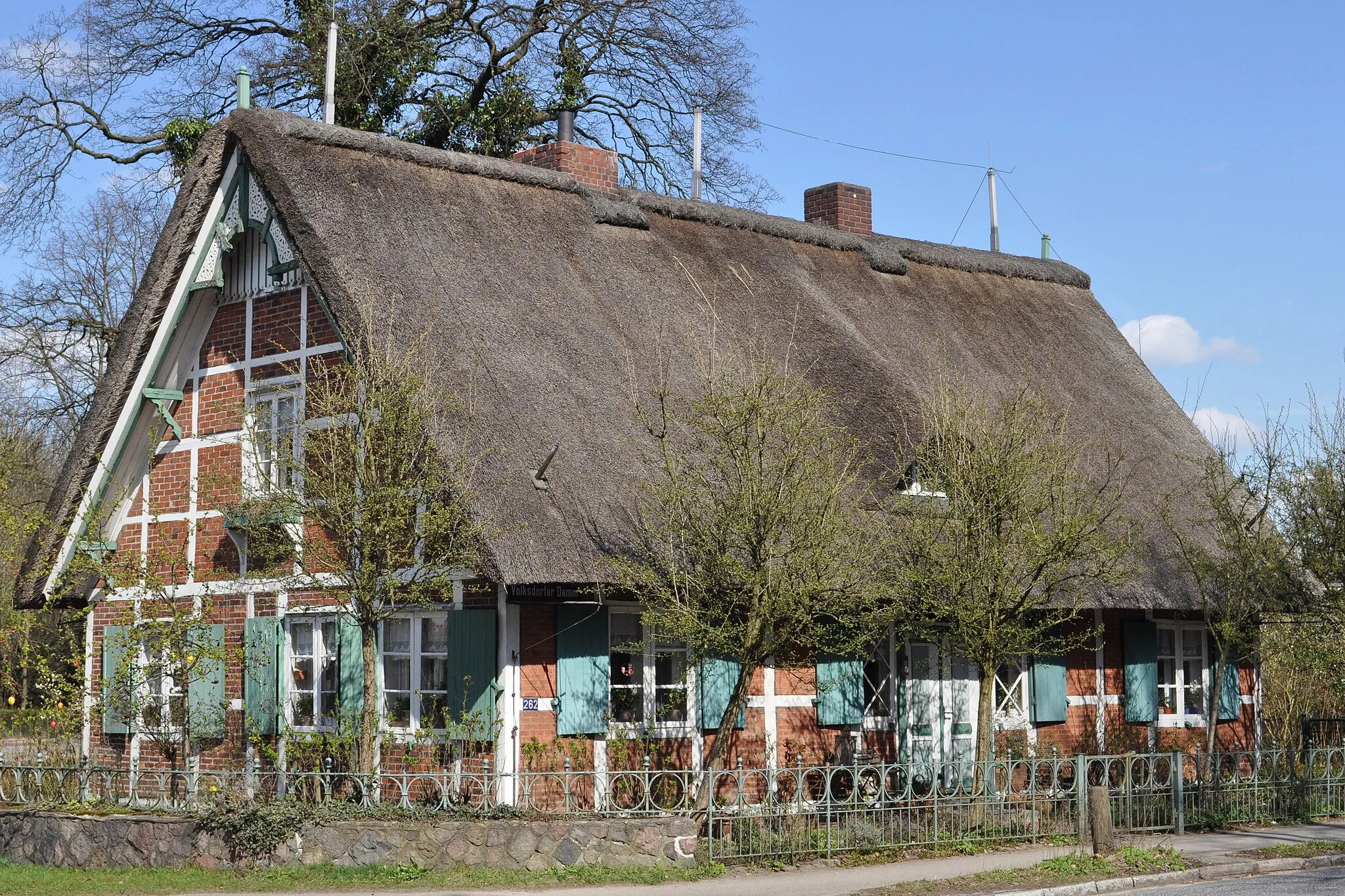
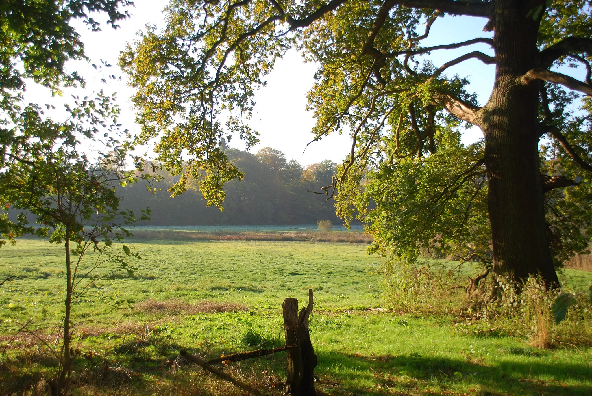
OststeinbekVillageTake a break in Oststeinbek and explore its quaint streets and peaceful atmosphere.
36 km
36 km
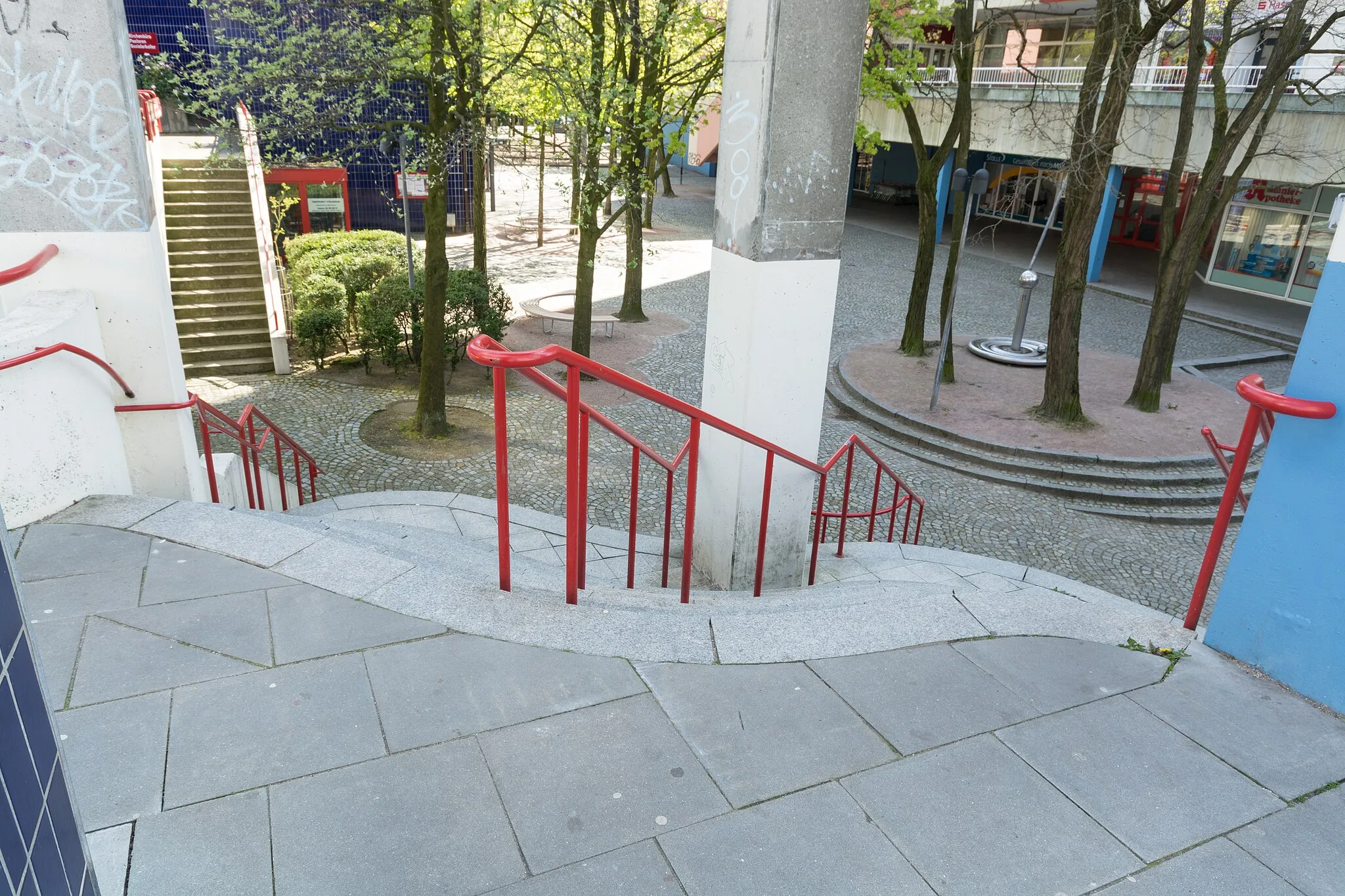
BorgfeldeSub-urbPass through Borgfelde and experience its vibrant culture, arts, and gastronomy scene.
45 km
45 km
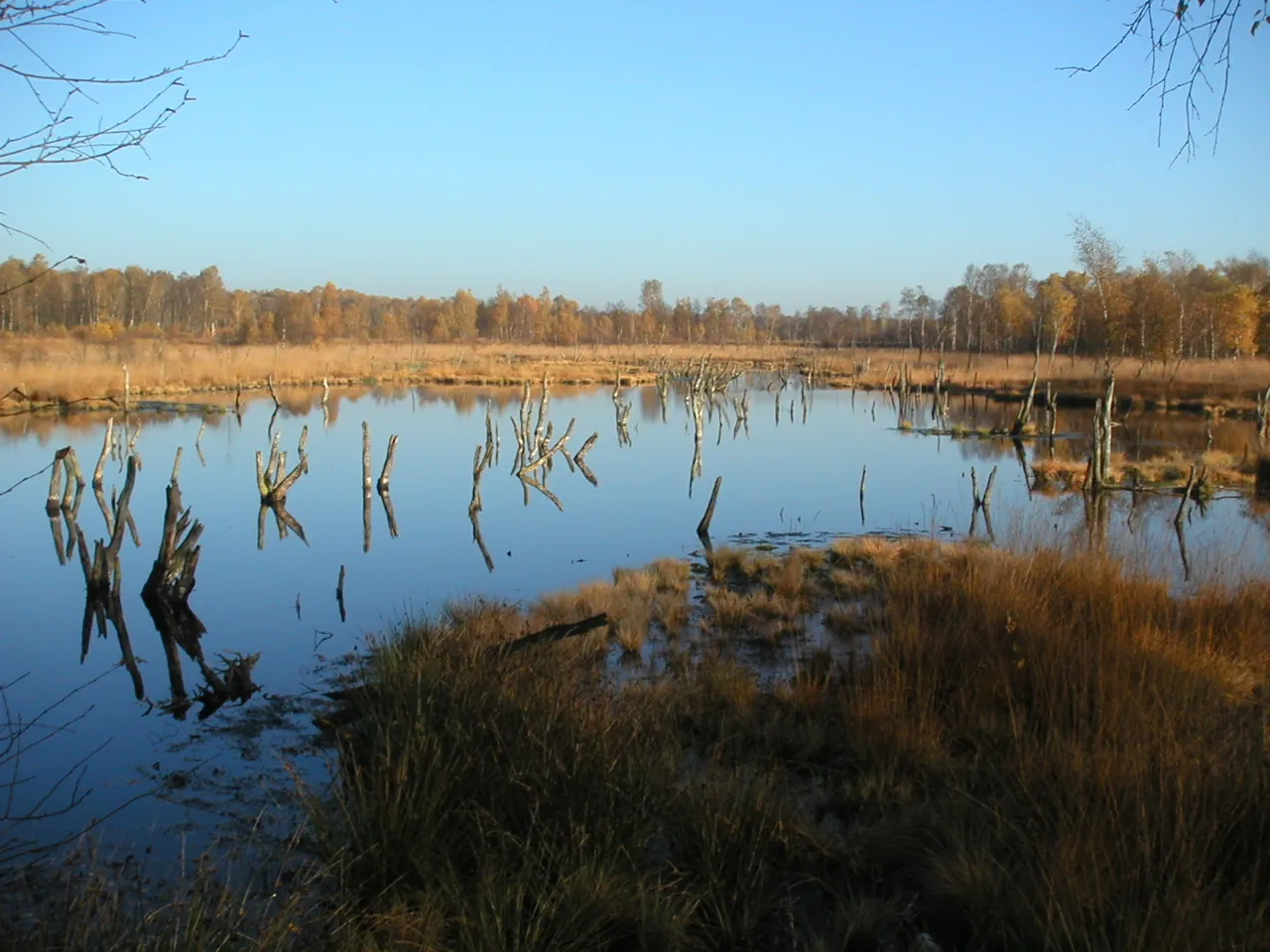
BramfeldSub-urbAdmire the scenic landscapes of Bramfeld and its charming mix of rural and urban environments.
50 km
50 km
Finish: Locality centerSasel: Urban locale with moderate cycling potential.
Cycling routes nearby: