Exploring the Countryside
A gravel cycling route starting from Bad Arolsen
A scenic gravel route to discover hidden gems near Bad Arolsen
Map
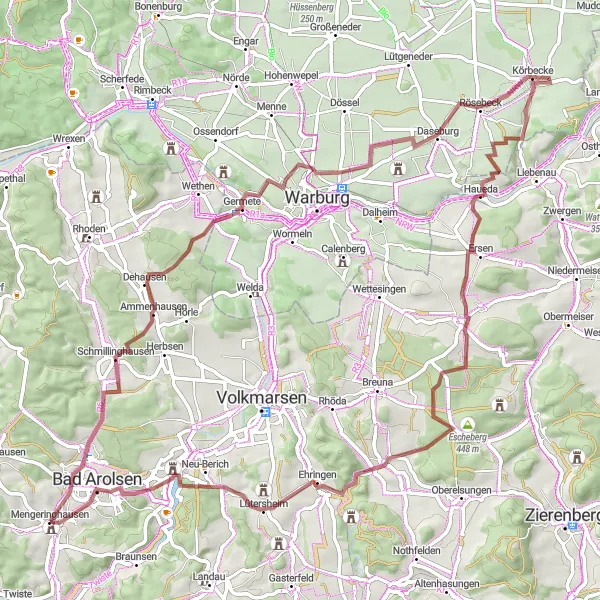
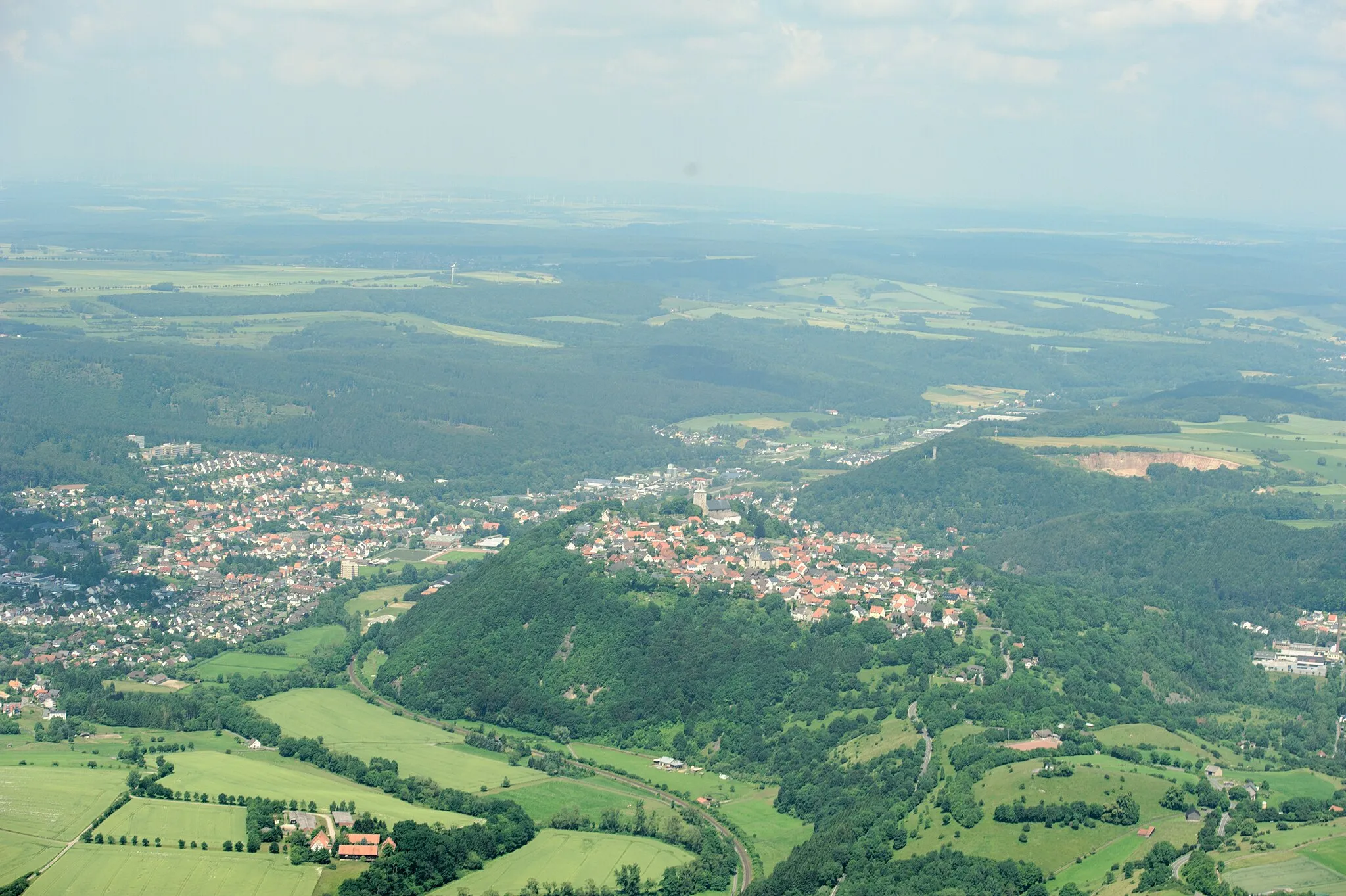
Embark on an adventurous journey through the picturesque countryside surrounding Bad Arolsen with this 78-kilometer gravel route. With a total ascent of 1041 meters, this ride offers a moderate challenge suitable for experienced riders. Schmillinghausen and Hellenberg showcase the natural beauty of the area, while Germete and Galgenberg provide glimpses of history. As you pedal through Haueda and Steinberg, prepare to be captivated by the stunning landscapes around you. Lütersheim and Burg Mengeringhausen offer a taste of medieval charm and historical significance. Overall, this route serves as a gateway to discover the hidden gems and natural wonders of the countryside near Bad Arolsen.
gravel
78 km
1041 m
Tough
Route profile
Highlights on the route
0 km
0 km
Start: Mengeringhausen Village centerBad Arolsen: Bad Arolsen: Your Gateway to the Willingen Summit
Bad Arolsen, located in Kassel, Germany, offers a pleasant cycling experience with its rolling hills and beautiful landscapes. Cyclists can enjoy riding through the quaint town center and exploring the nearby forests and parks. Additionally, Bad Arolsen is a popular starting point for cyclists looking to conquer the famous Willingen summit, which is known for its challenging ascent and stunning views from the top.8 km
8 km
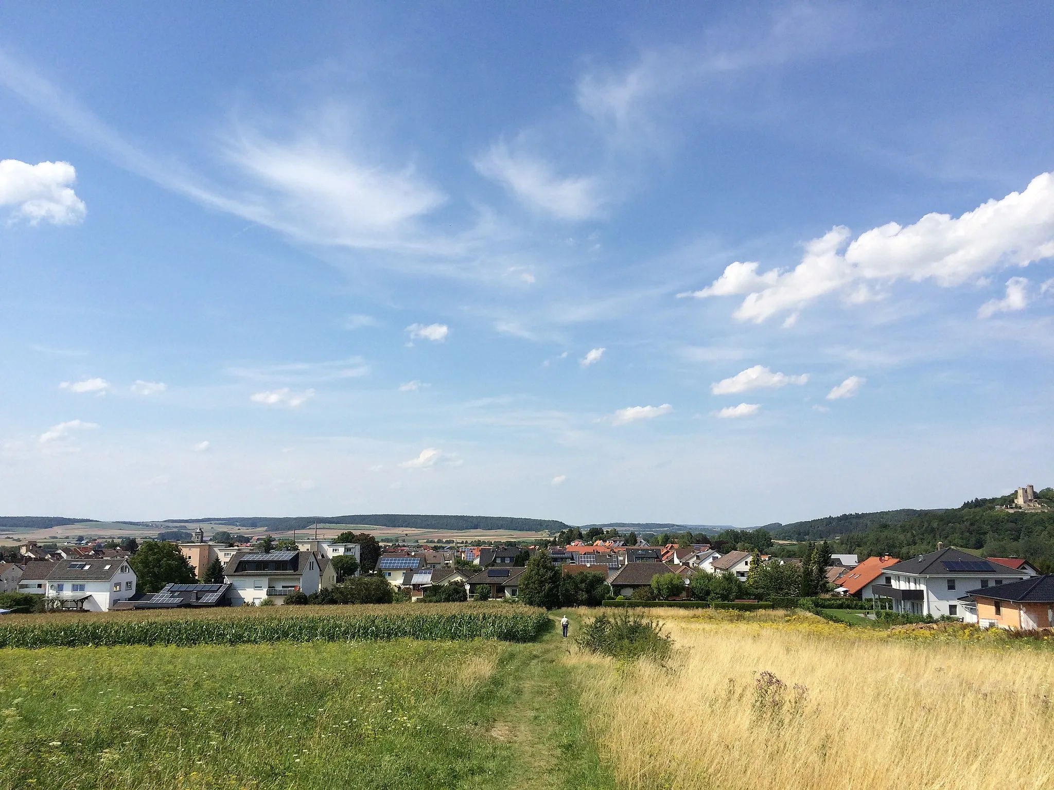
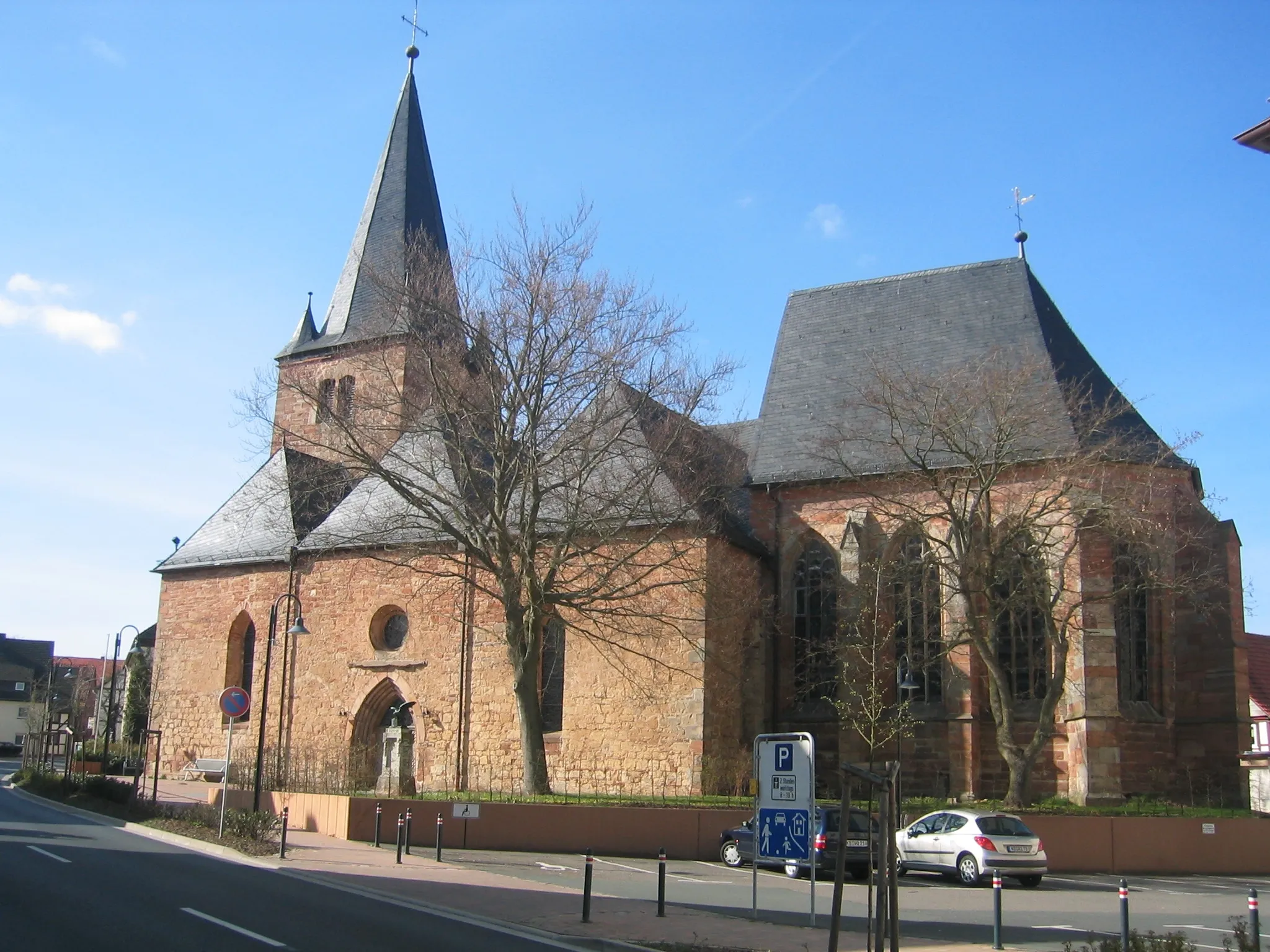
SchmillinghausenVillageSchmillinghausen: Ride through the scenic landscapes of this charming village.
9 km
9 km
Hellenberg279 mPeakHellenberg: Enjoy the peaceful atmosphere and beautiful views on this segment.
18 km
18 km
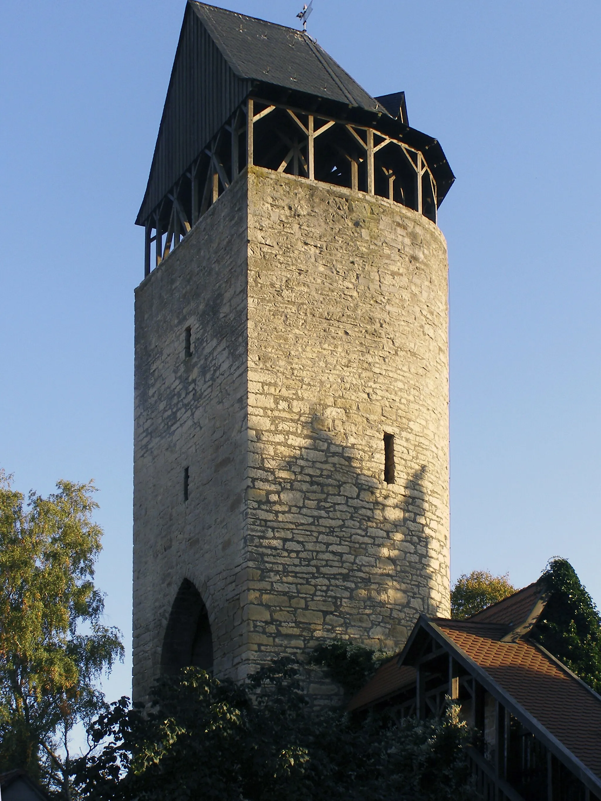
GermeteVillageGermete: Discover the historical heritage of this village as you ride through its streets.
20 km
20 km
Galgenberg226 mPeakGalgenberg: Admire the sweeping views from this hill and soak in the tranquil surroundings.
44 km
44 km
HauedaVillageHaueda: Experience the stunning landscapes and rolling hills of this segment.
54 km
54 km
Steinberg364 mPeakSteinberg: Be captivated by the natural beauty of this area and take in the panoramic views.
66 km
66 km
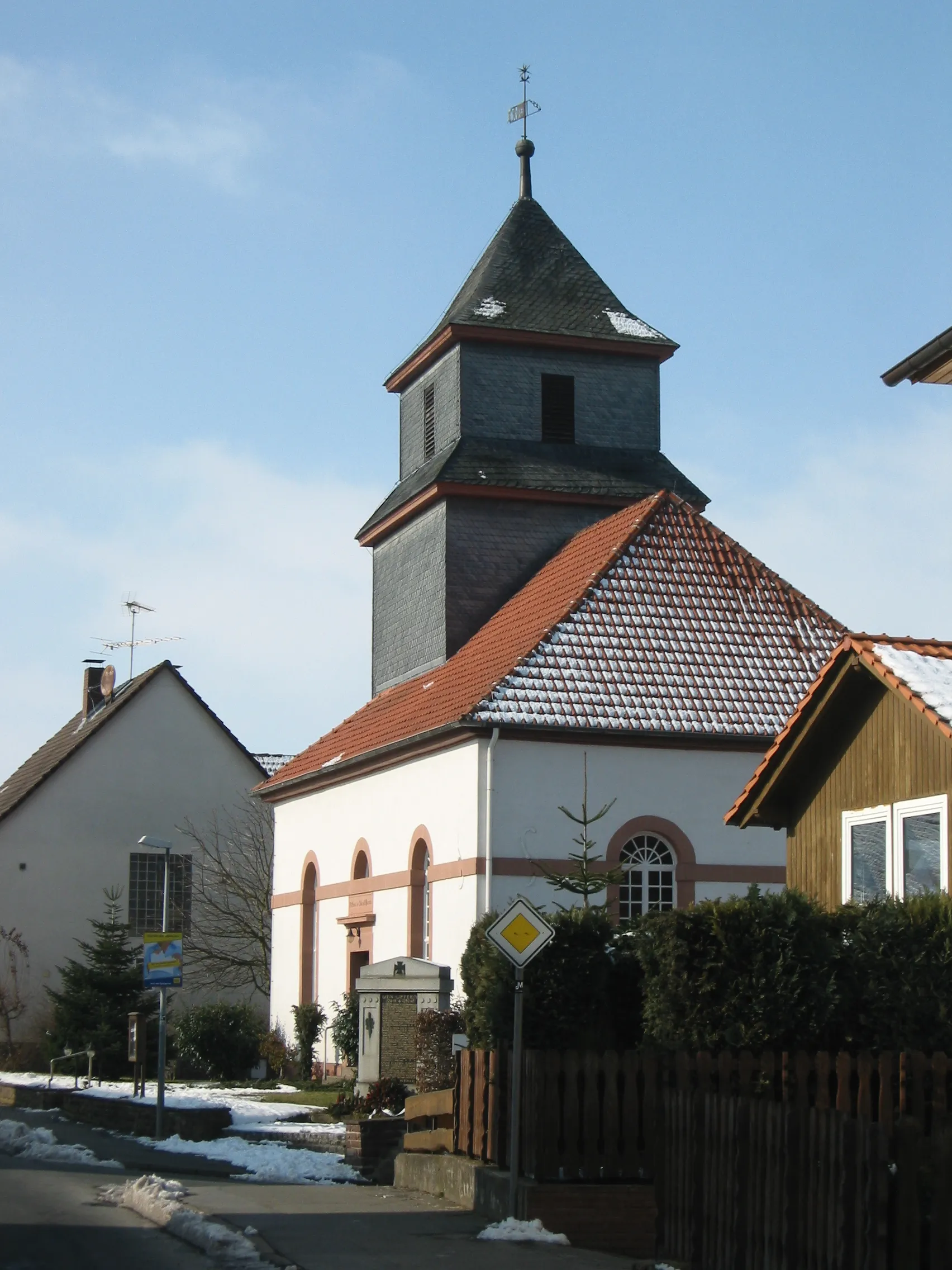
LütersheimVillageLütersheim: Immerse yourself in the medieval charm of this historic village.
78 km
78 km
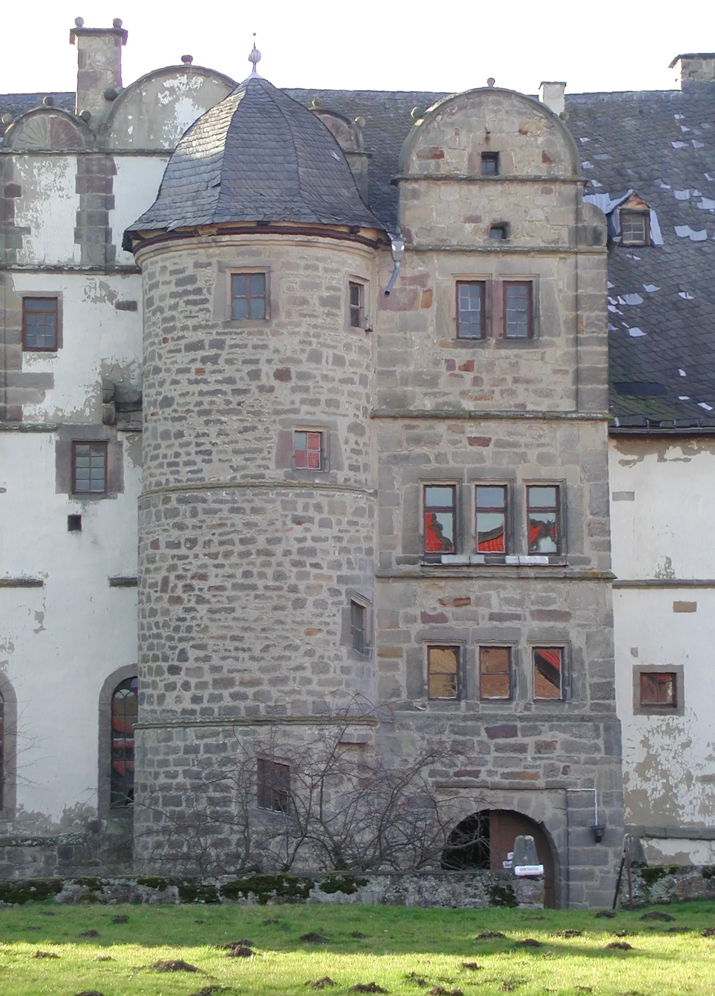
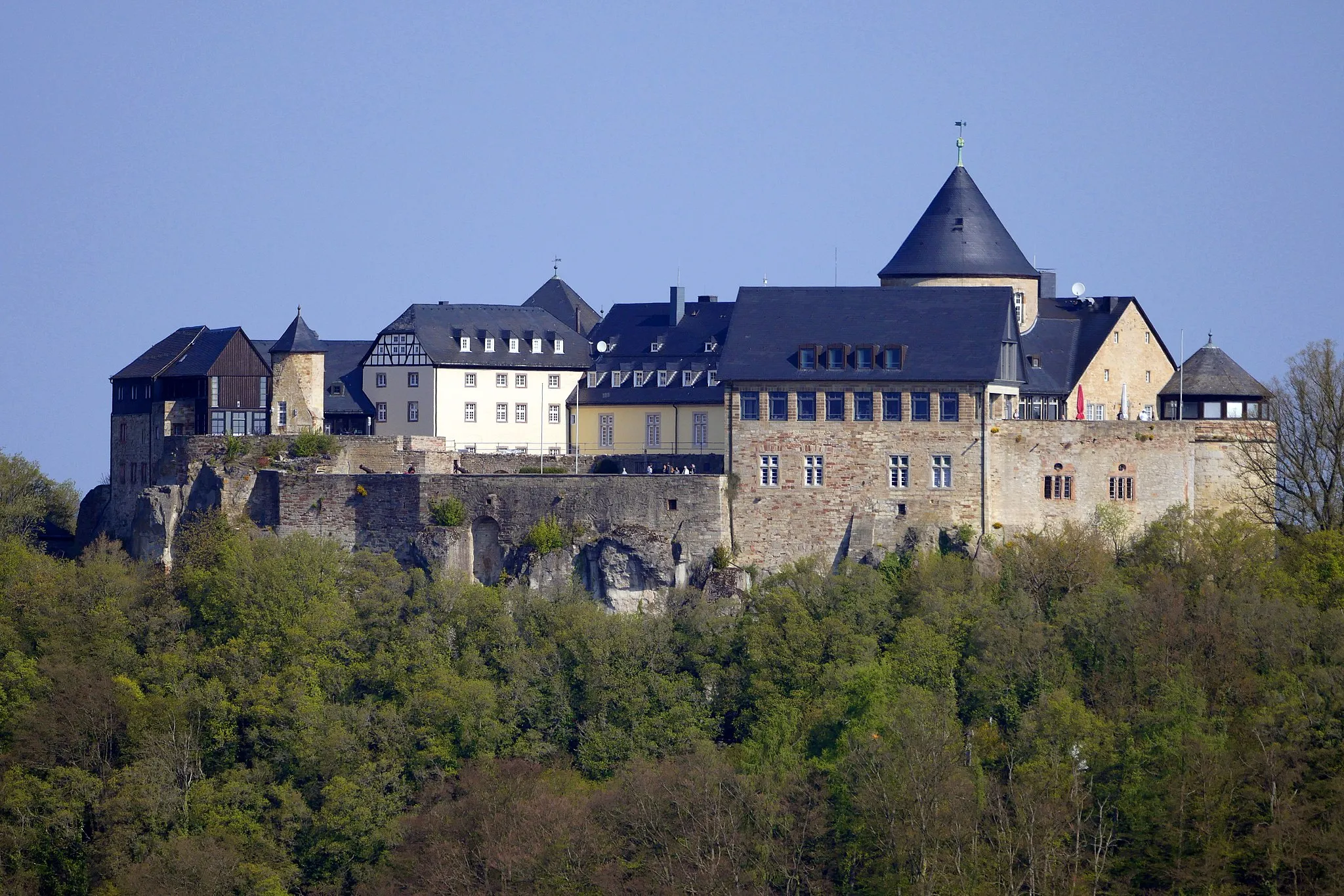
Burg MengeringhausenCastleBurg Mengeringhausen: Explore the ancient castle and admire its impressive architecture.
78 km
78 km
Finish: Mengeringhausen Village centerBad Arolsen: Bad Arolsen: Your Gateway to the Willingen Summit
Cycling routes nearby: