The Ultimate Challenge: Extreme Gravel
A gravel cycling route starting from Baunatal
Prepare for an epic gravel adventure with challenging climbs and stunning views.
Map

Embark on an extreme gravel journey through the Baunatal region with this challenging route. Covering a distance of 87km and featuring a total ascent of 1478m, this route is suitable for experienced cyclists seeking a thrill. Experience highlights such as Laufskopf, Offenstein, Hoher Steiger, and the picturesque village of Balhorn. Capture remarkable views from Zierenberg and Altenbauna, and immerse yourself in the rugged beauty of nature.
gravel
87 km
1478 m
Savage
Route profile
Highlights on the route
0 km
0 km
Start: Baunatal City centerBaunatal: Cycling Paradise in Kassel
Baunatal is a locality located in the Kassel region of Germany. From a cyclist's perspective, Baunatal provides a wide range of cycling opportunities. The area offers well-maintained roads and scenic countryside views, making it suitable for road cycling. One notable cycling spot near Baunatal is the Hoher Habichtswald, a forested hill area that offers challenging climbs and picturesque routes. Baunatal's cycling-friendly infrastructure and variety of cycling routes make it a popular destination for road and gravel cyclists.5 km
5 km
Laufskopf535 mPeakReach the summit of Laufskopf and enjoy breathtaking panoramic views of the surrounding landscapes. Gaze upon the natural splendor that surrounds you.
9 km
9 km
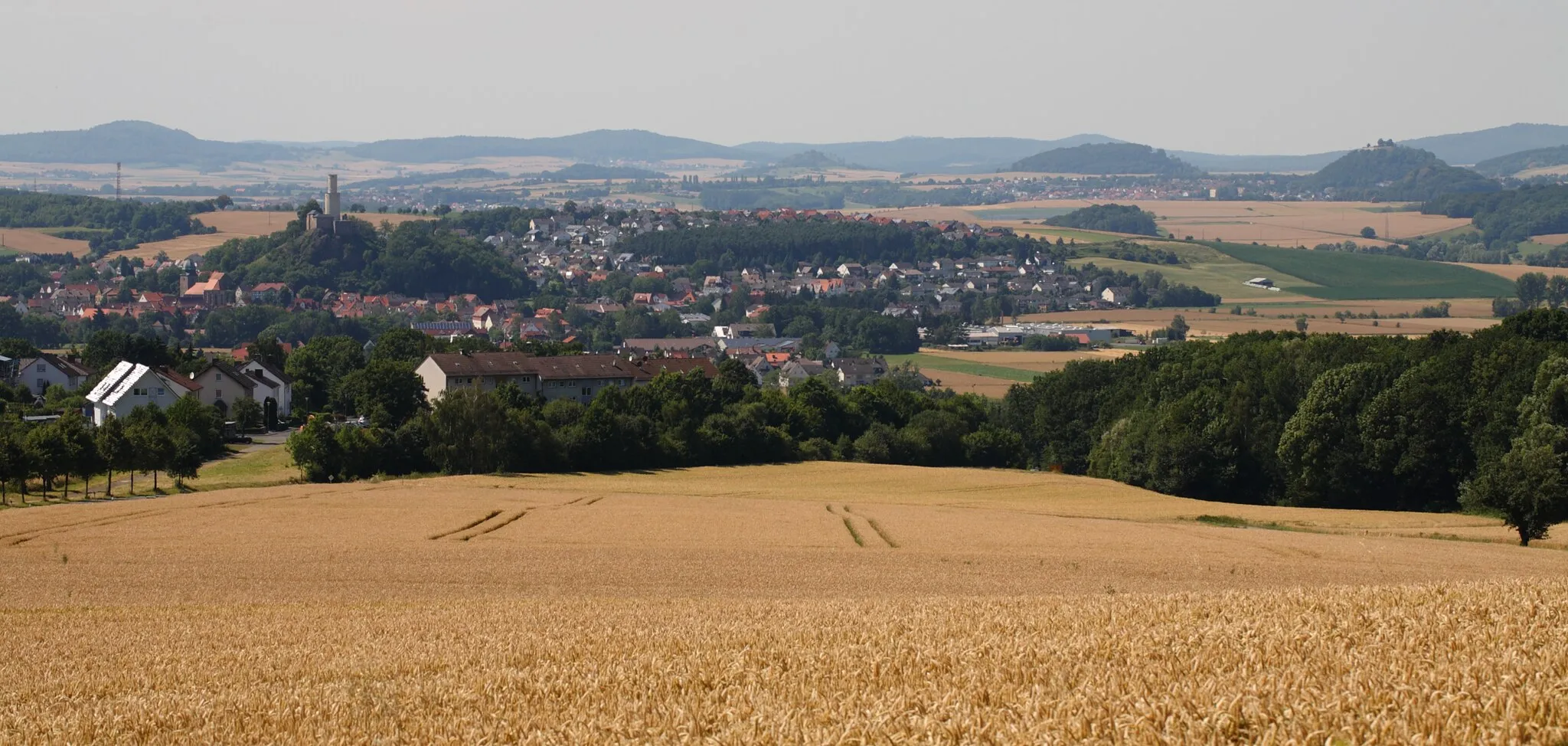
NiedensteinTownExplore Niedenstein and discover its historic charm along with stunning views from elevated positions. Dare to conquer the climb and admire the beauty waiting at the top.
17 km
17 km
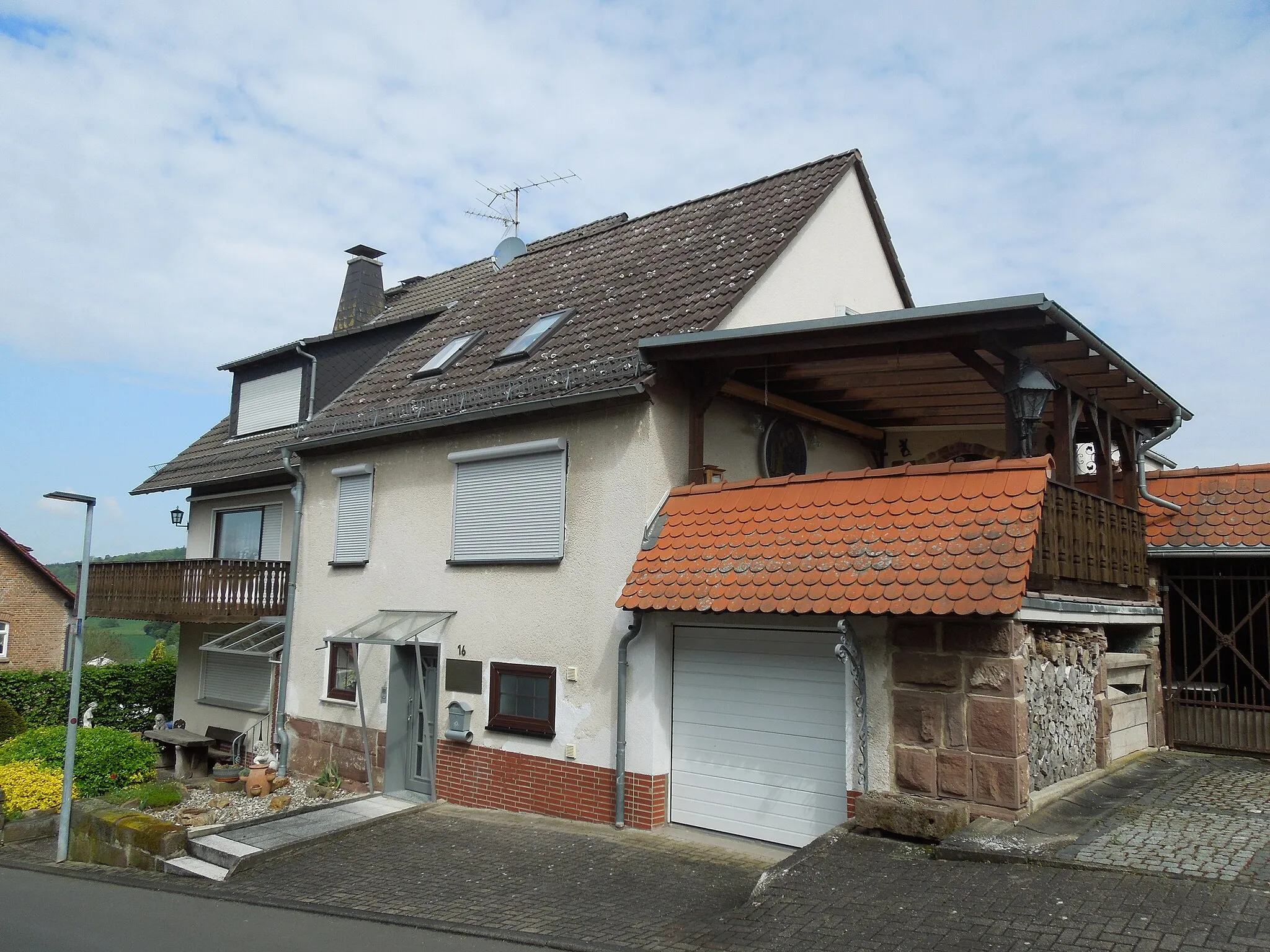
BalhornVillageMake a stop at Balhorn, a picturesque village nestled amidst rolling hills. Immerse yourself in the tranquility of the surrounding nature and savor the serenity of the landscapes.
25 km
25 km
Offenstein310 mPeakDiscover Offenstein, a beautiful hill offering captivating views of the valley and the surrounding countryside. Marvel at the impressive sight before continuing your adventurous journey.
41 km
41 km
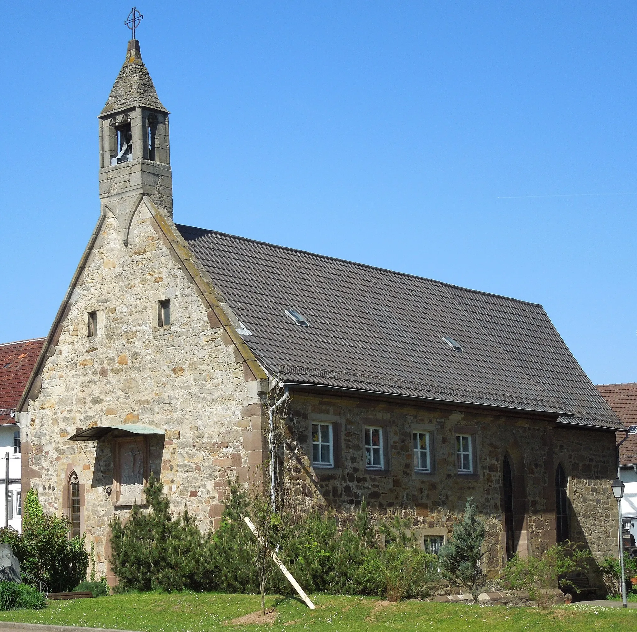
KülteVillageVenture to Külte, a small village surrounded by a breathtaking natural setting. Take in the peaceful atmosphere while enjoying the stunning scenery that surrounds it.
47 km
47 km
Hoher Steiger322 mPeakConquer the climb to Hoher Steiger, a popular viewpoint that gifts visitors with breathtaking panoramic vistas of lush forests and rolling hills. Indulge in the beauty of nature surrounding this prominent lookout point.
55 km
55 km
Steinberg364 mPeakCycle through Steinberg, a charming village encircled by scenic nature. Take a moment to appreciate the harmony between human settlements and the natural world.
67 km
67 km
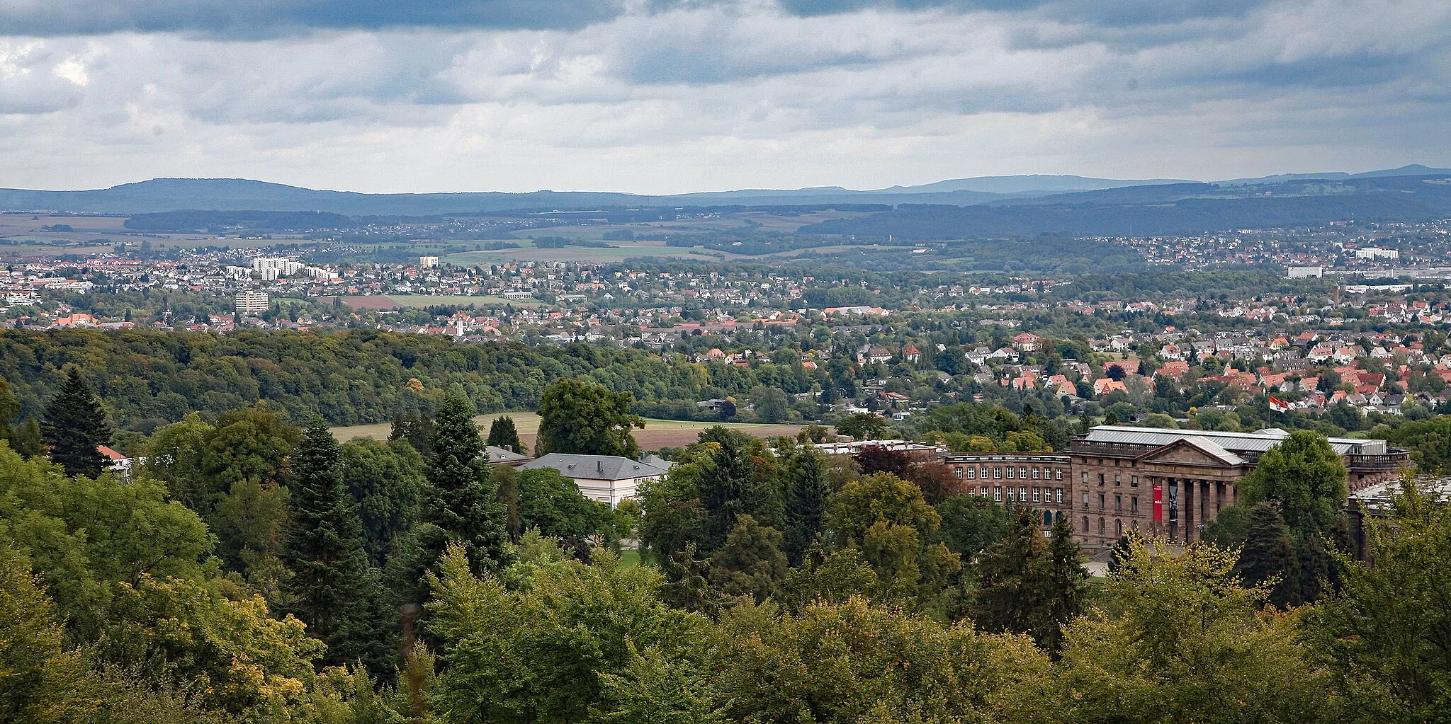
ZierenbergTownExplore Zierenberg, a town boasting an impressive range of historic buildings and a picturesque old town center. Immerse yourself in the town's cultural heritage and charming ambiance.
77 km
77 km
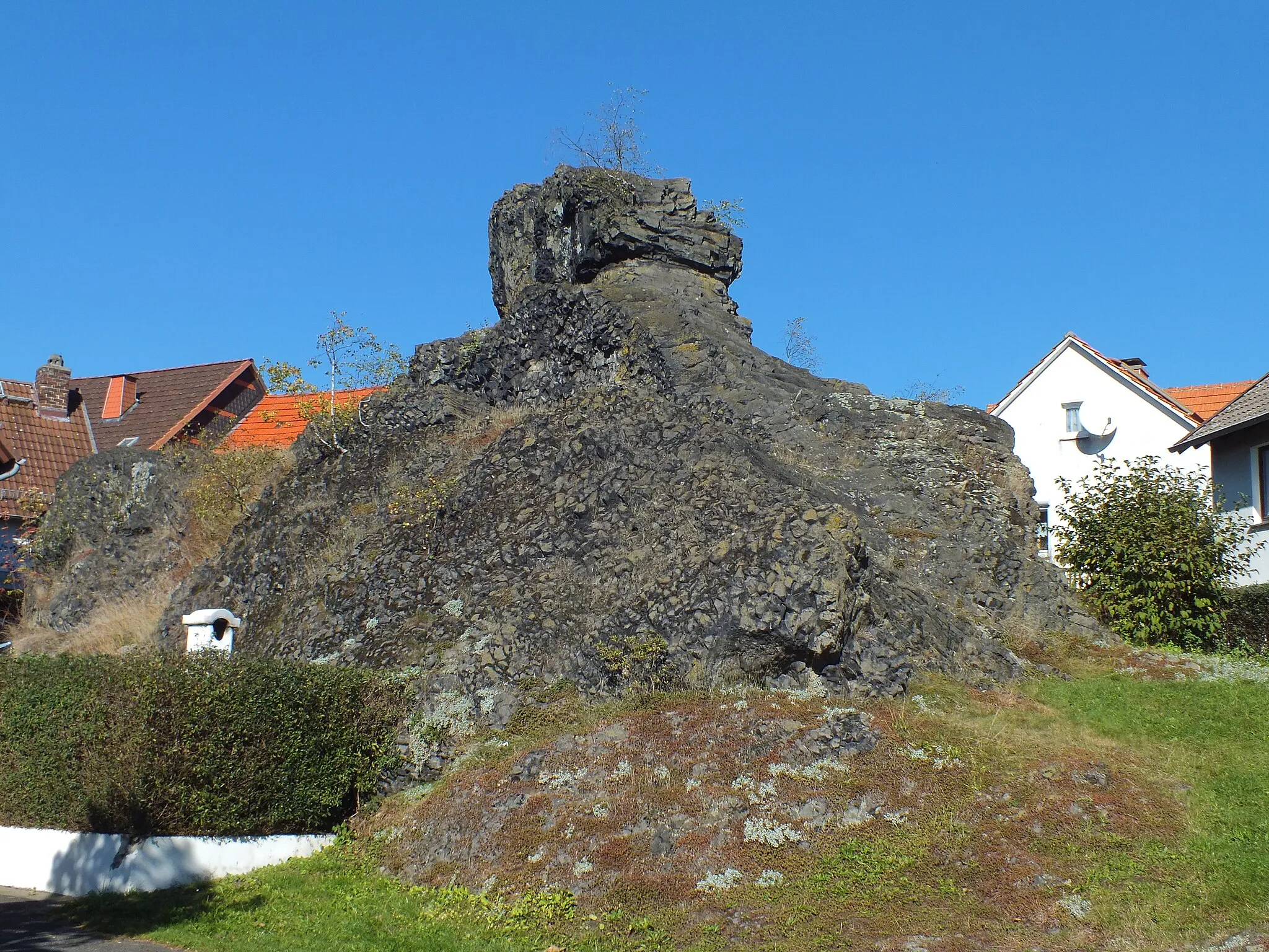
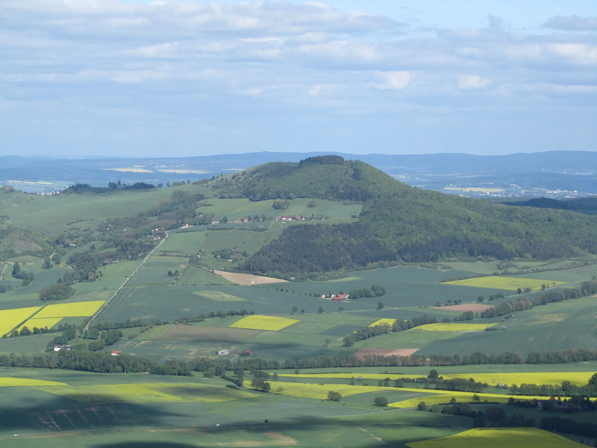
Hohes Gras614 mPeakExperience the wild beauty of Hohes Gras, a distinctive hill known for its untamed landscapes and excellent views. Feel the excitement as you venture into this natural wonderland.
87 km
87 km
AltenbaunaSub-urbDiscover the enchanting district of Altenbauna that captivates visitors with its half-timbered houses and calm village settings. Immerse yourself in the tranquility that surrounds this picturesque area.
87 km
87 km
Finish: Baunatal City centerBaunatal: Cycling Paradise in Kassel
Cycling routes nearby: