Scenic Gravel Loop Through Rural Beauty
A gravel cycling route starting from Eiterfeld
Discover the captivating landscapes and rural beauty on this scenic gravel cycling route near Eiterfeld.
Map
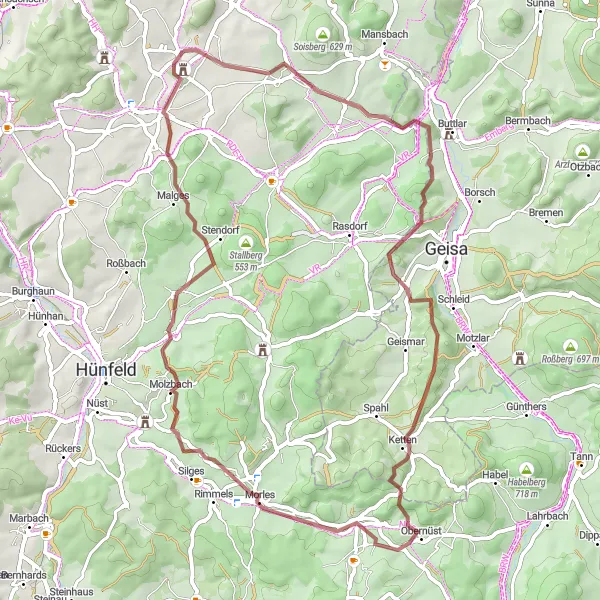
Immerse yourself in the beautiful rural landscapes near Eiterfeld with this 60-kilometer gravel route. With a total ascent of 1054 meters, this route offers a rewarding cycling experience for gravel enthusiasts. Highlights along the way include Wiesenfeld, a charming village surrounded by lush meadows, Hofaschenbach, known for its idyllic countryside scenery, Molzbach, a serene village with traditional half-timbered houses, and Aussichtsturm Via Regia, a scenic viewpoint offering panoramic views. The difficulty level is 3 out of 5, making it suitable for amateur cyclists with some training, and the epicness rating is 3 out of 5.
gravel
60 km
1054 m
Tough
Route profile
Highlights on the route
0 km
0 km
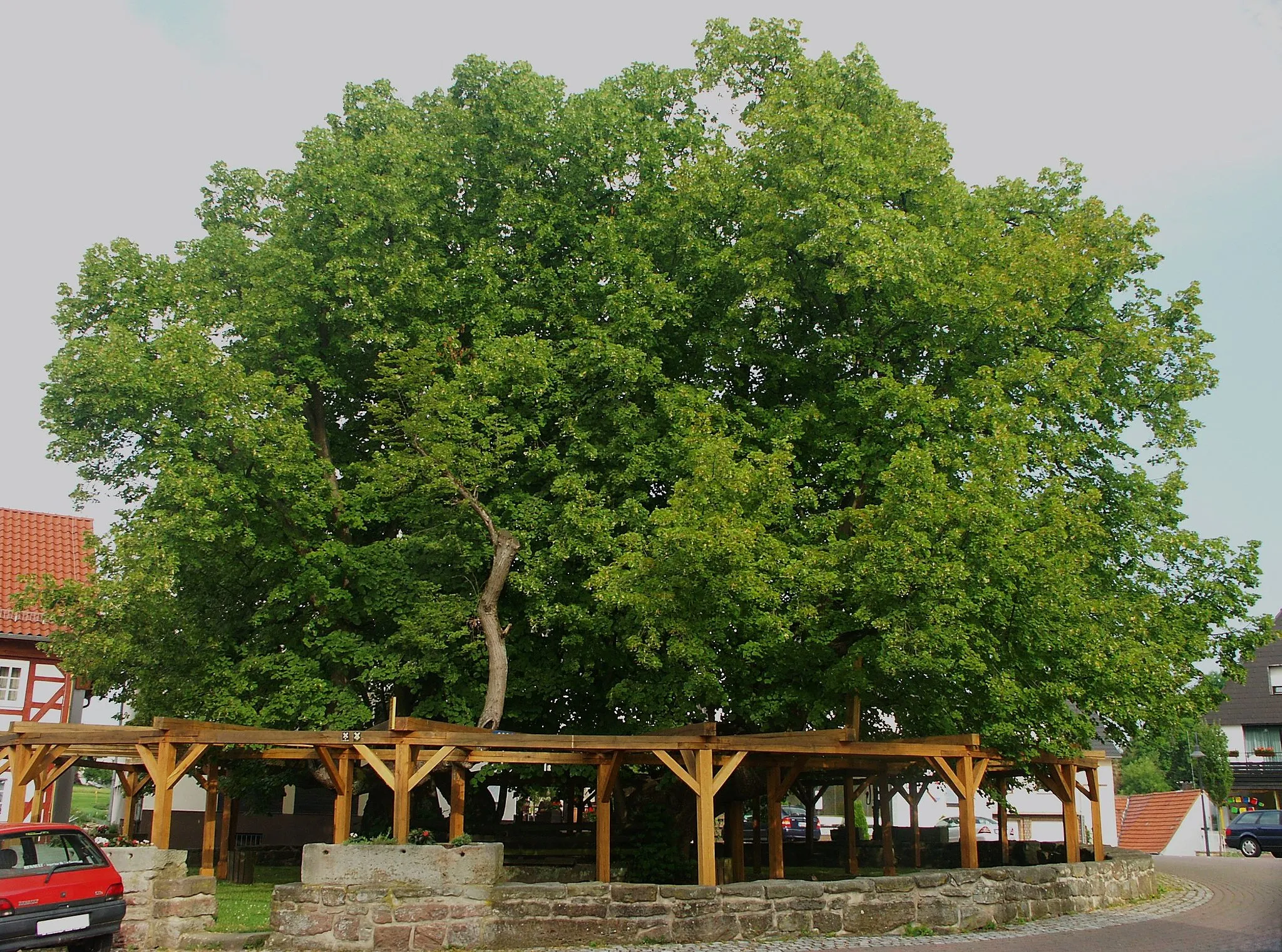
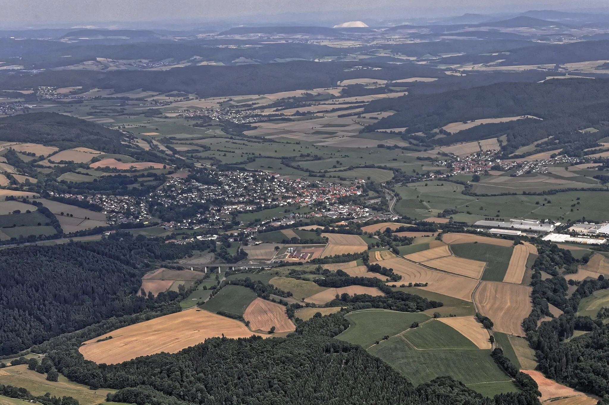
Start: Wölf Village centerEiterfeld: Cycling through the gentle hills and picturesque countryside of Eiterfeld, including the Wegaer Waldhöhe climb.
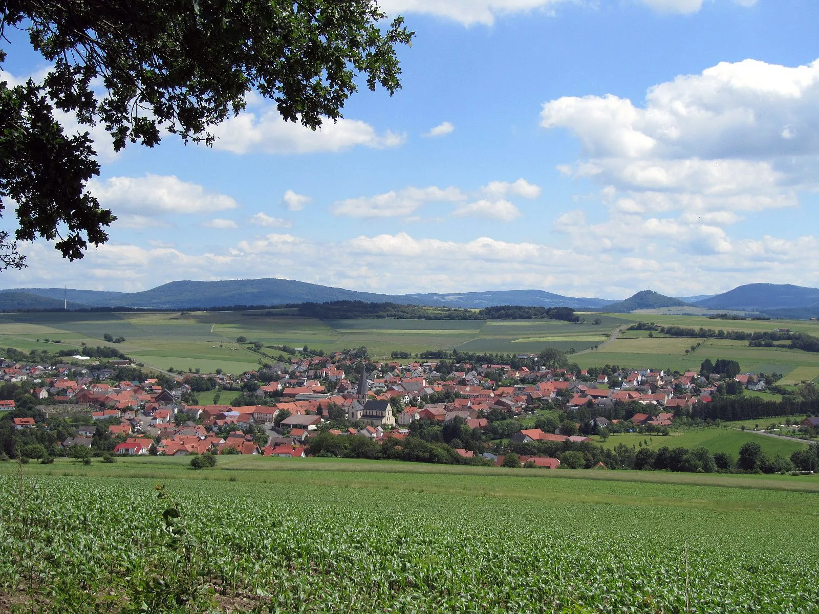
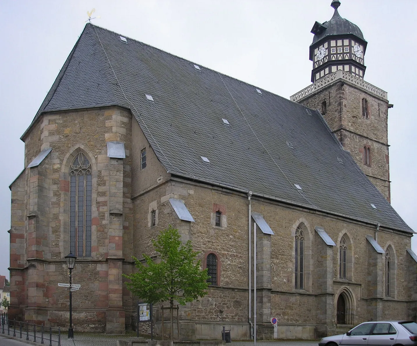
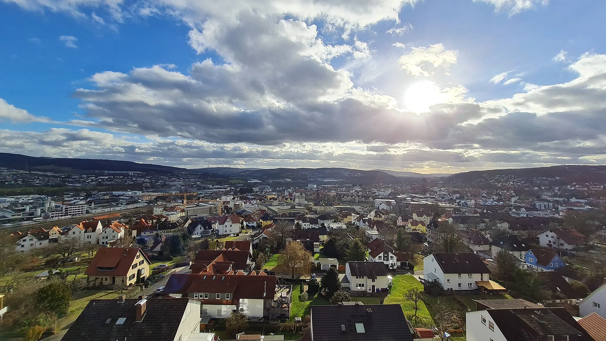
Eiterfeld is a town located in the Kassel region of Germany. With its gentle hills and quiet country roads, Eiterfeld offers a pleasant environment for road and gravel cycling. The surrounding landscape is characterized by fields, forests, and small villages, providing ample opportunities for scenic rides. One notable climb near Eiterfeld is Wegaer Waldhöhe, which takes cyclists through a wooded area and offers panoramic views at the top. Eiterfeld is also located near Fulda, a city known for its Baroque architecture and historic sites. Overall, Eiterfeld is a great base for cyclists interested in exploring the natural and cultural attractions of the Kassel region.5 km
5 km
UnterufhausenVillageAdmire the tranquil beauty of Unterufhausen, a small village surrounded by picturesque nature.
10 km
10 km
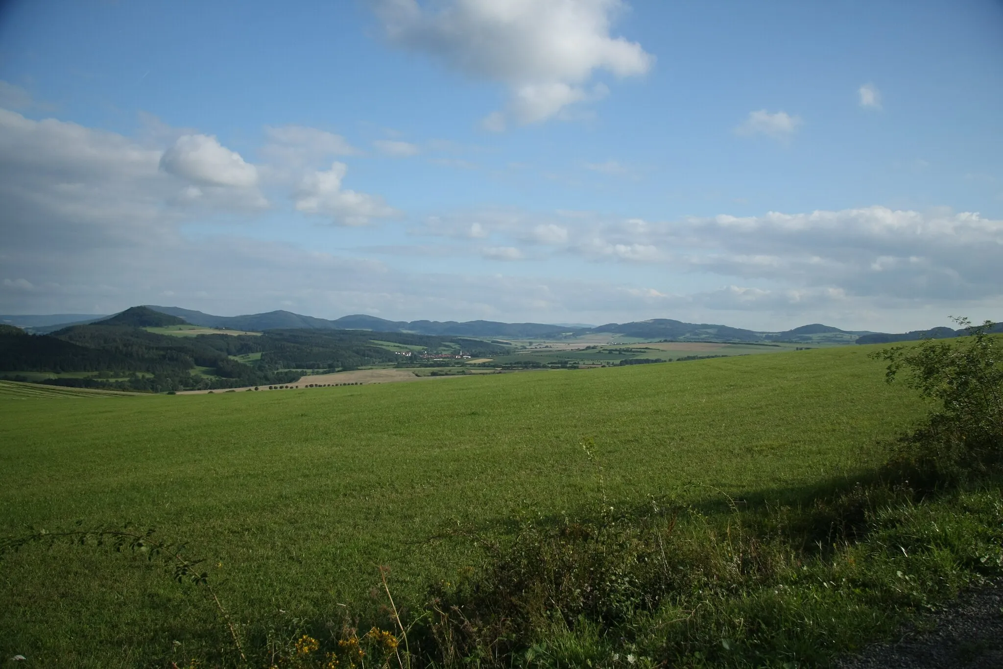
Standorfsberg386 mPeakChallenge yourself with the ascent to Standorfsberg and enjoy stunning views of the surrounding countryside.
17 km
17 km
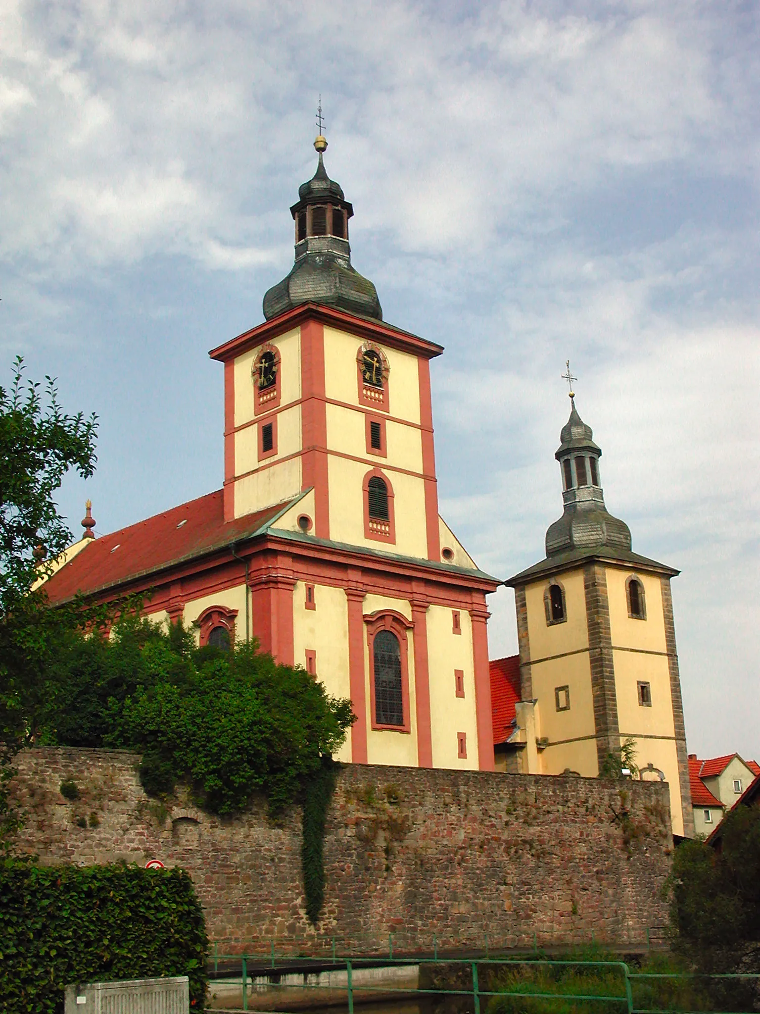
WiesenfeldVillageExplore the peaceful landscape of Wiesenfeld, known for its charming little farms and beautiful meadows.
21 km
21 km
Rockenstuhl529 mPeakRockenstuhl offers a captivating vantage point, enabling you to appreciate the picturesque rural scenery.
38 km
38 km
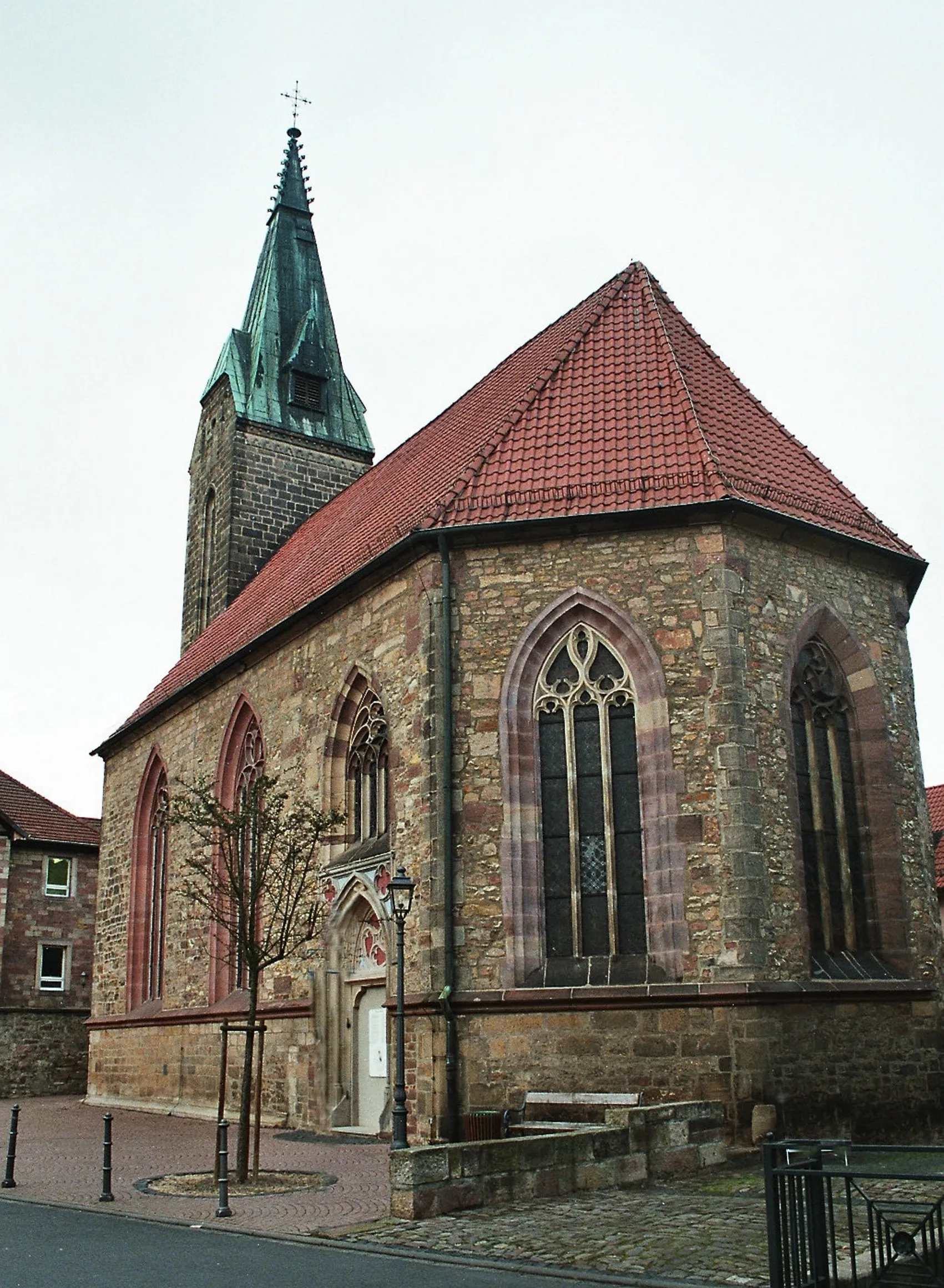
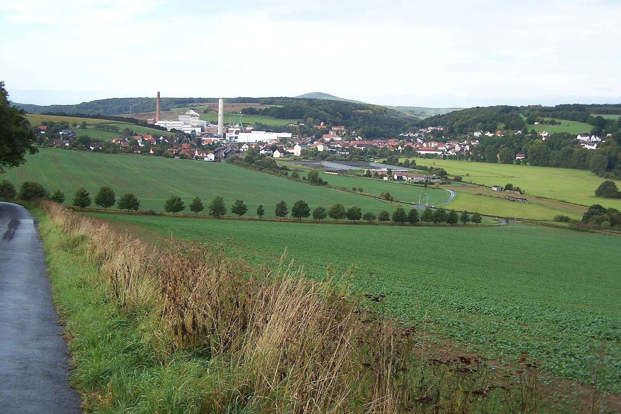
HofaschenbachVillageMake a stop at Hofaschenbach, a small village where time seems to stand still amidst tranquil surroundings.
38 km
38 km
HutzelfeuerViewpointWitness the traditional Hutzelfeuer bonfire celebration in Hutzelfeuer, an event that dates back centuries.
44 km
44 km
MolzbachVillageImmerse yourself in the tranquility of Molzbach, a village known for its pristine nature and quaint architecture.
45 km
45 km
Aussichtsturm Via RegiaViewpointClimb Aussichtsturm Via Regia for awe-inspiring, far-reaching views of the picturesque landscape.
57 km
57 km
EiterfeldVillageStart and end your journey in the charming town of Eiterfeld, featuring a blend of historical and modern attractions.
60 km
60 km
Finish: Wölf Village centerEiterfeld: Cycling through the gentle hills and picturesque countryside of Eiterfeld, including the Wegaer Waldhöhe climb.
Cycling routes from Eiterfeld:
Gravel Adventure to Malges Discover Scenic Beauty on Gravel Trails Gravel Adventure with Historical Charm Picturesque Road Ride with Charming Villages Scenic Gravel Loop Through Rural Beauty Unterufhausen Loop Bughaun Cycling Adventure Eiterfeld to Müllersrain Loop Via Regia Gravel Route Hilly Road Ride through Forests and Villages
Cycling routes nearby: