Hunburgturm Gravel Expedition
A gravel cycling route starting from Gilserberg
Conquer the heights and enjoy Sweeping panoramic views from Hunburgturm
Map
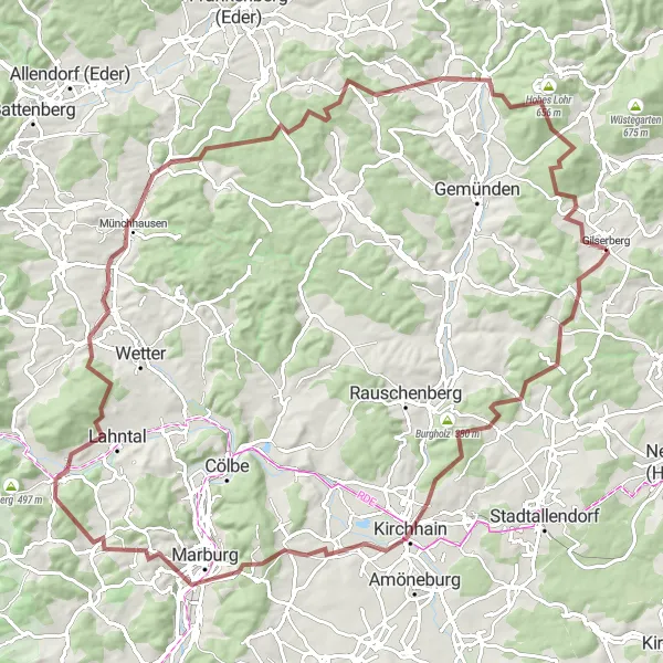
Embark on a epic gravel journey starting in Gilserberg and ascending to Hunburgturm, a tower situated at an elevation of 1050 meters. This challenging 106 kilometer route boasts an ascent of 1793 meters, making it suitable for experienced gravel riders seeking a truly demanding adventure. As you gradually make your way to the top, ragged landscapes and lush greenery will immerse you in the beauty of nature.
gravel
106 km
1793 m
Savage
Route profile
Highlights on the route
0 km
0 km
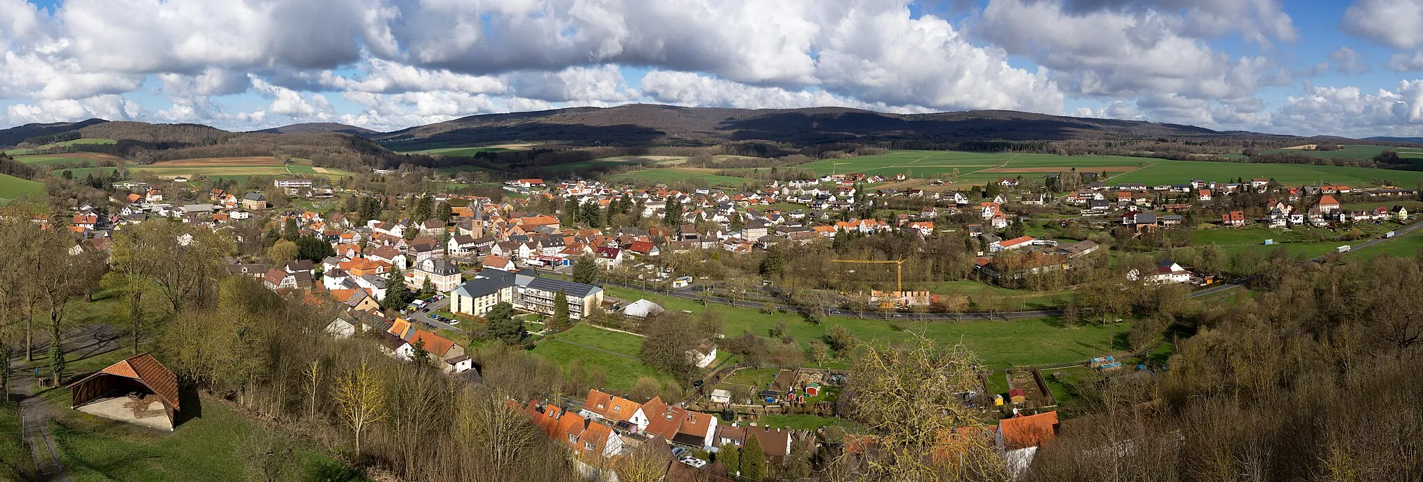
Start: Gilserberg Village centerGilserberg: Cycling Charm in Kassel, Germany
Gilserberg, located in Kassel, Germany, is a charming locality for road and gravel cycling. The area offers a mix of rolling hills, challenging climbs, and panoramic views. Cyclists can explore the beautiful meadows, quiet farm roads, and historic landmarks while enjoying their rides. One of the notable cycling spots near Gilserberg is Kellerwald-Edersee National Park, which provides stunning vistas and a variety of cycling trails. With its captivating landscapes and cycling-friendly atmosphere, Gilserberg is a welcoming destination for cyclists of all levels.0 km
0 km
GilserbergVillageGilserberg marks the starting point of the route. Mount your bike and kick off your unforgettable journey.
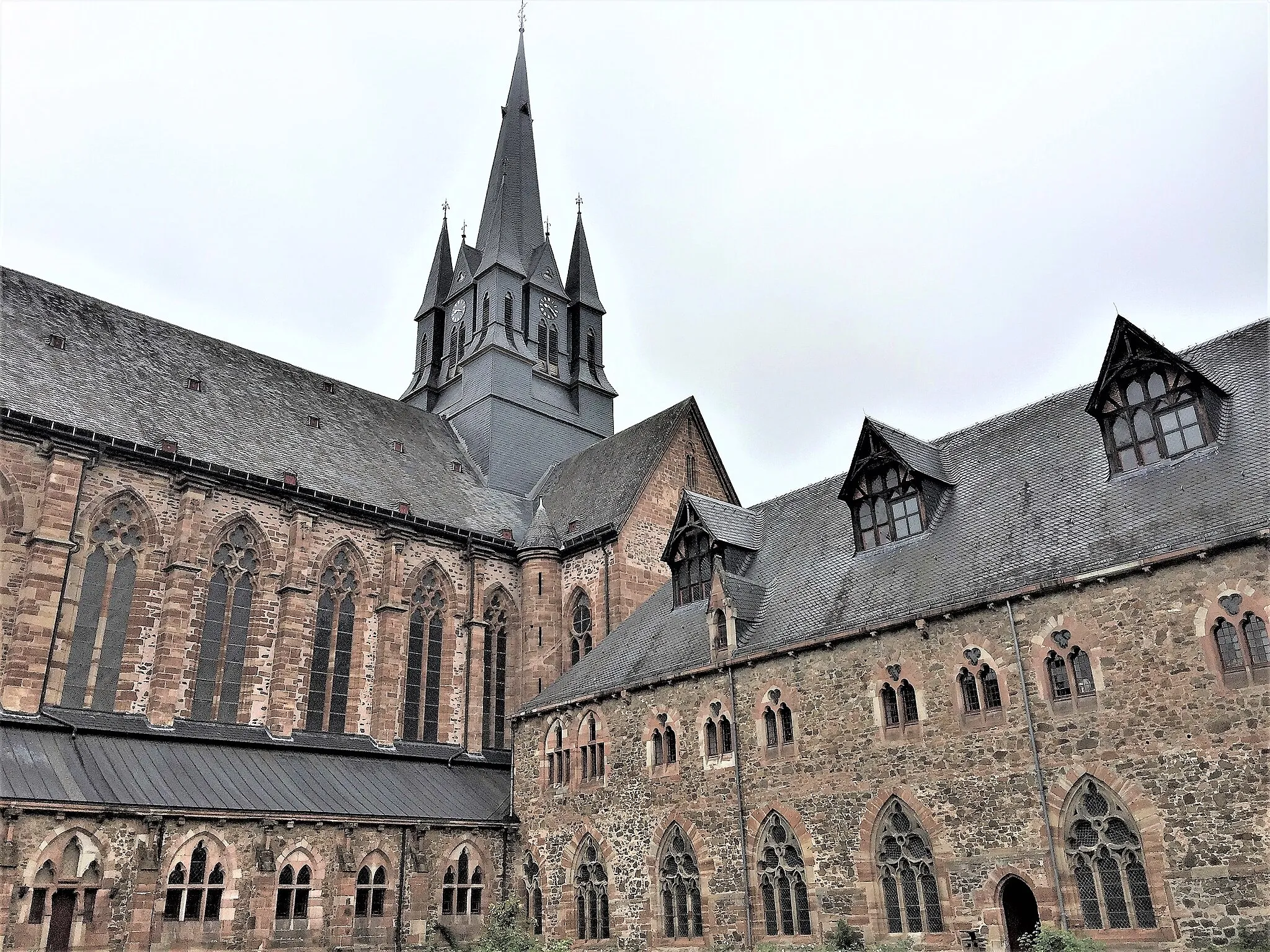
15 km
15 km
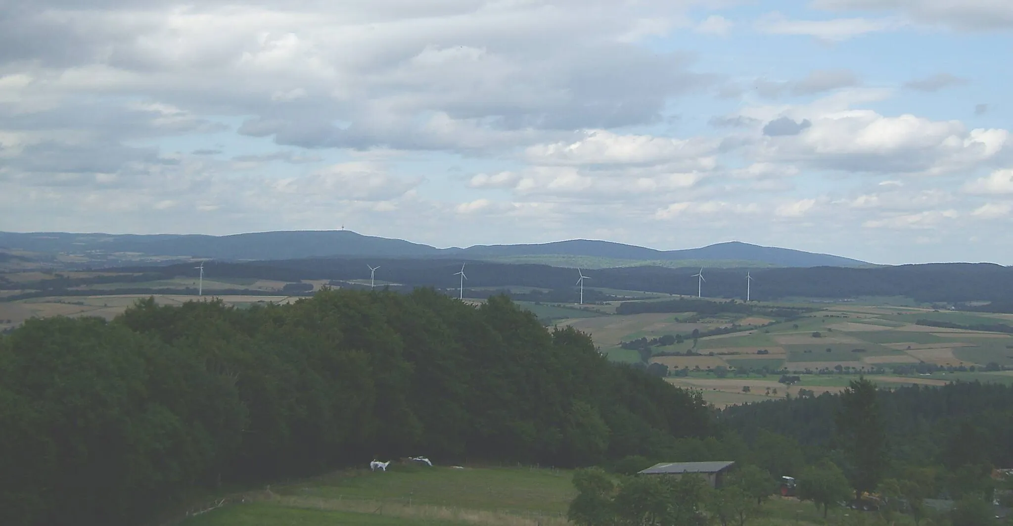
HunburgturmViewpointAt the 15 kilometer mark, you'll find Hunburgturm, a tower that boasts unparalleled vistas of the surrounding landscapes. Take a moment to savor the breathtaking panorama.
29 km
29 km
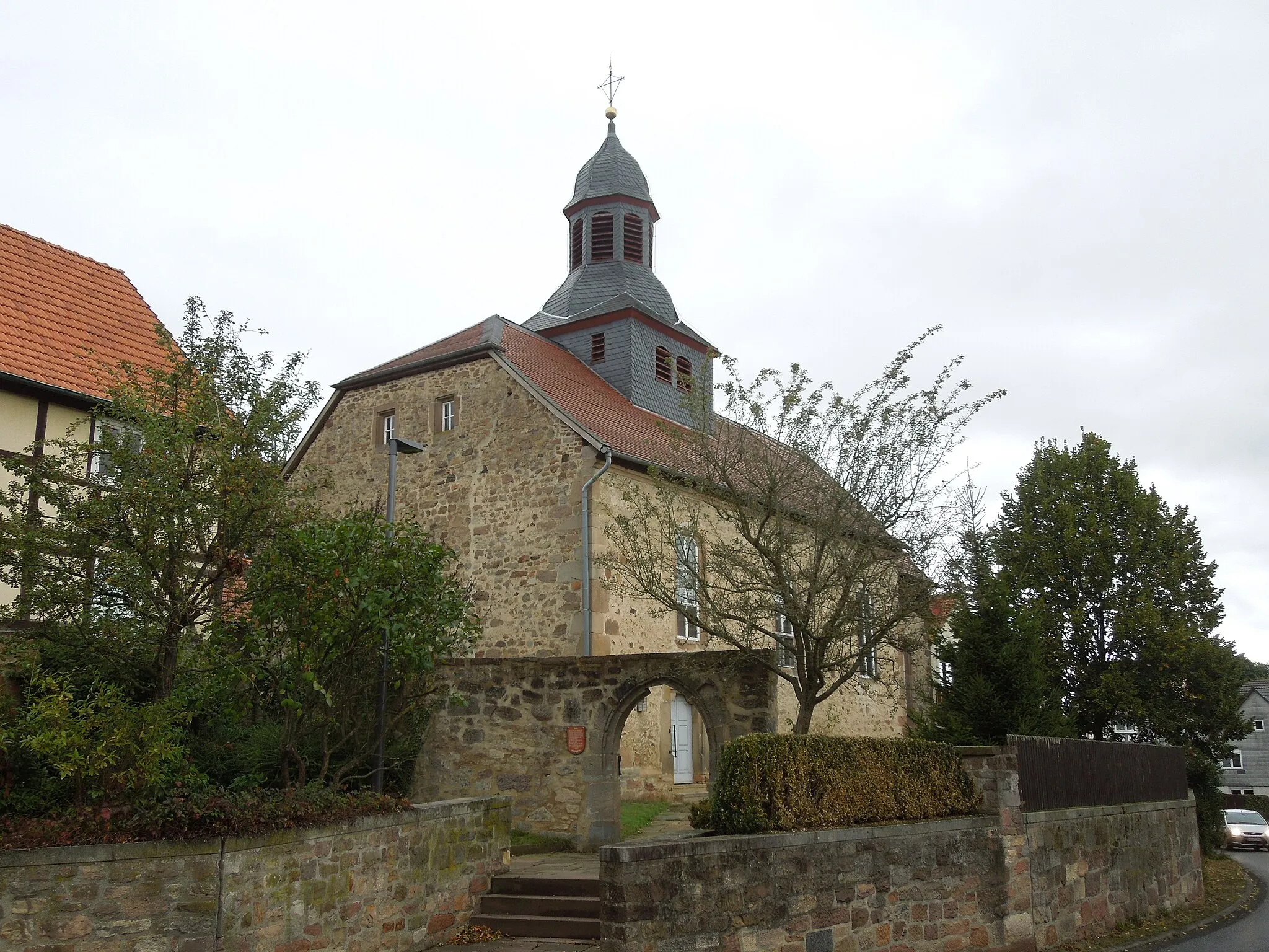
BauerbachVillageBauerbach, at 29 kilometers, is a tranquil village where you can rest and refuel before tackling the subsequent challenges.
38 km
38 km
Wehrshäuser Höhe349 mPeakLocated at 38 kilometers, Wehrshäuser Höhe treats you to stunning views and makes for a perfect photography spot.
54 km
54 km
Norn422 mPeakNorn, at 54 kilometers, is one of the region's longest-established settlements, exuding a unique charm with its traditional architecture and historic buildings.
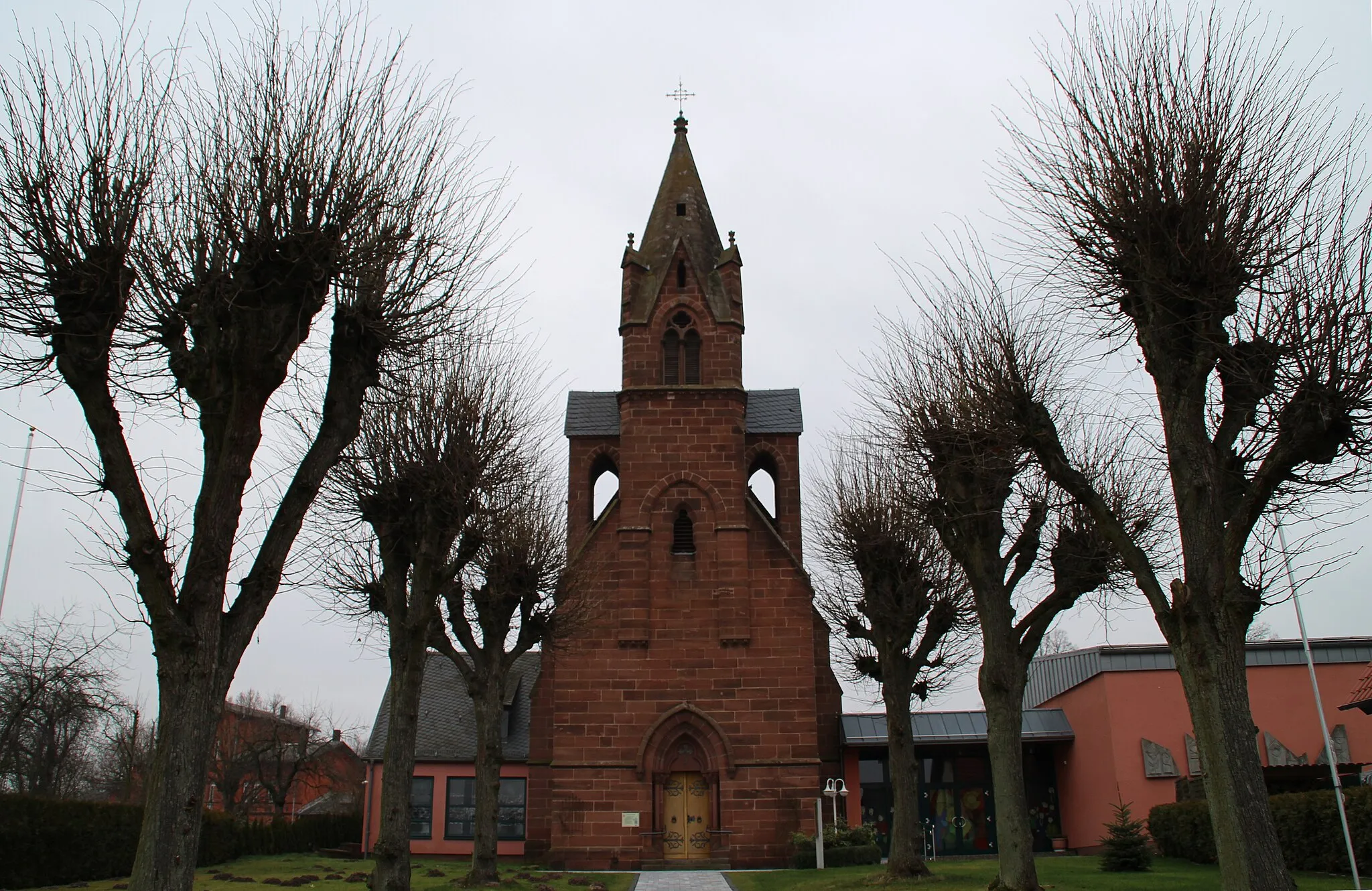
57 km
57 km
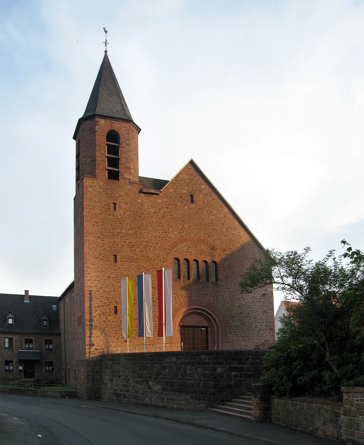
AmönauVillageAmönau awaits at the 57 kilometer mark, providing you with a chance to immerse yourself in its small-town vibes and visit the historical landmarks.
64 km
64 km
MünchhausenVillageMünchhausen brings a touch of fairy-tale magic at 64 kilometers, with its charming castle and captivating history.
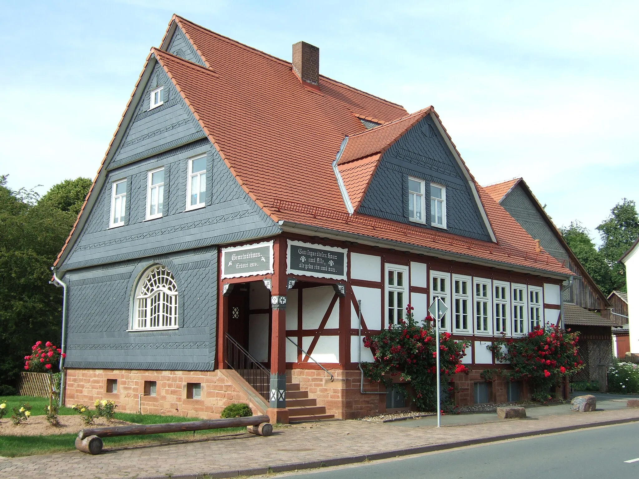
85 km
85 km
MohnhausenVillageMohnhausen, at 85 kilometers, is a quaint village nestled amidst beautiful countryside, offering a peaceful and scenic spot for a break.
98 km
98 km
Jeust583 mPeakJeust awaits you at 98 kilometers, offering picturesque rural landscapes and a serene atmosphere.
102 km
102 km
MoischeidVillageMoischeid, at the 102 kilometer mark, marks the start of your descent back towards Gilserberg and invites you to take in the beauty of the surroundings.
106 km
106 km
Finish: Gilserberg Village centerGilserberg: Cycling Charm in Kassel, Germany
Cycling routes from Gilserberg:
Exploring Moischeid Gravel Circuit Willingshausen Road Adventure Gilserberg - Jesberg Loop Suggested Road Experience Jesberg Gravel Adventure Gilserberg - Moischeid Loop Journey Through the Heart of Hessen The Schwalmstadt Circuit Scenic Gravel Adventure in the Marburg Area Hunburgturm Gravel Expedition Gravel Adventure in Gilserberg
Cycling routes nearby: