The Hills of Vöhl
A road cycling route starting from Vohl
Ride through the hilly countryside around Vöhl and experience stunning views and charming villages.
Map

The Hills of Vöhl is a challenging and epic road cycling route that takes you through the beautiful countryside near Vöhl. With a total ascent of 1,949 meters over a distance of 144 kilometers, this route offers spectacular views and picturesque villages along the way. The difficulty level is 4, suitable for experienced cyclists with good endurance. The epicness score is also 4, making it a highly enjoyable and rewarding ride for those seeking a challenging adventure. The route showcases the diverse landscape of the region, from rolling hills to dense forests and serene lakes.
road
144 km
1949 m
Tough
Route profile
Highlights on the route
0 km
0 km
Start: Asel Village centerVöhl: Vöhl - Scenic Cycling in a Picturesque Landscape
Vöhl is a locality in Kassel, Germany. From the perspective of a road and gravel cyclist, Vöhl offers a variety of cycling routes in a scenic landscape. The roads are generally well-maintained, and there are several well-marked bike paths in the area. Cyclists can enjoy rides through picturesque villages, rolling hills, and beautiful lakes. Vöhl is home to well-known climbs such as the Ederkopf. Overall, Vöhl is a great locality for cyclists of all levels, with plenty of opportunities to experience the natural beauty of the region.7 km
7 km
Schmandberg413 mPeakSchmandberg, located at the 7 kilometer mark, offers panoramic views of the surrounding hills and valleys.
13 km
13 km
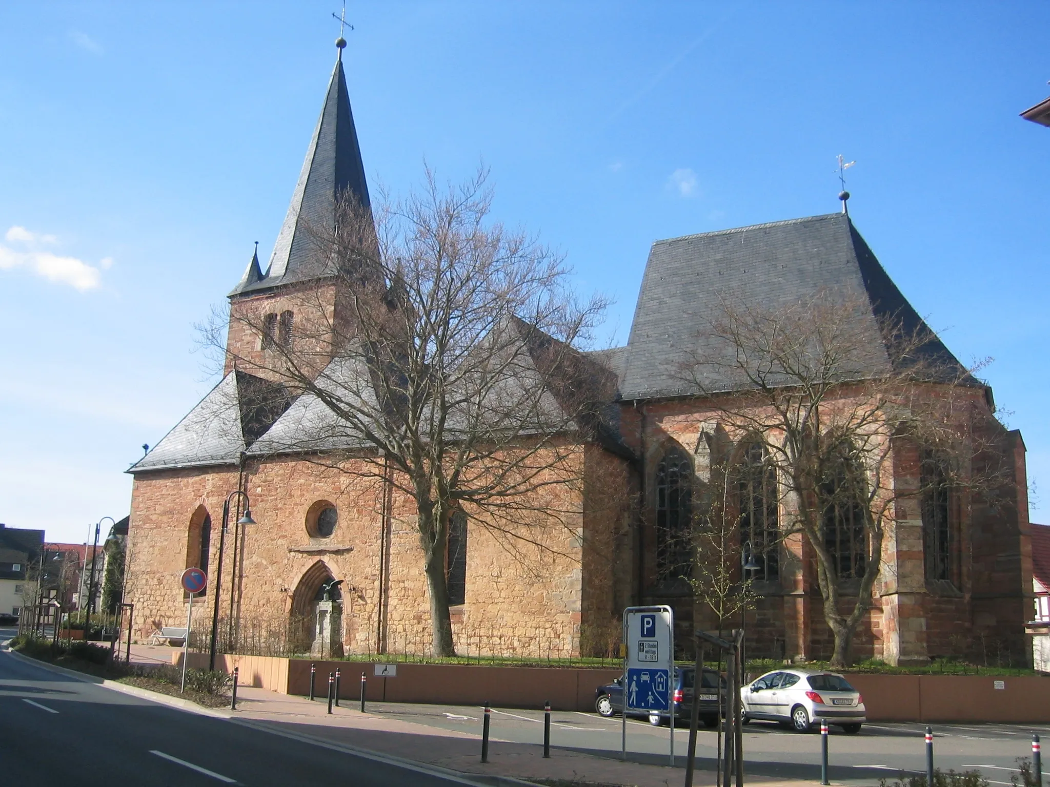
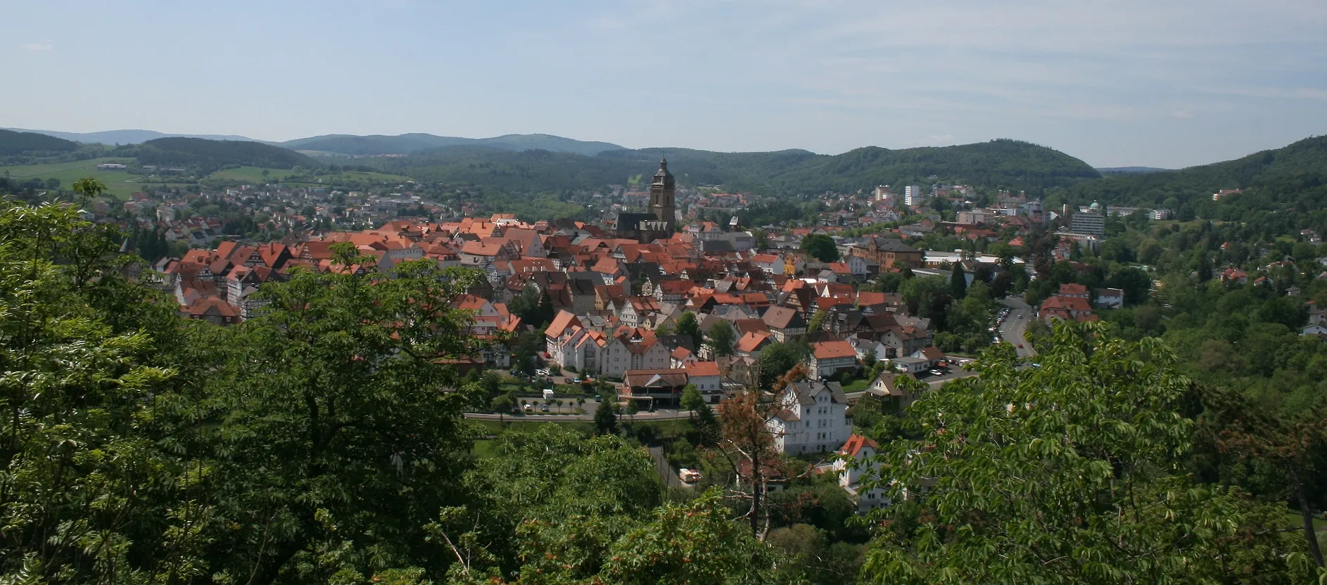
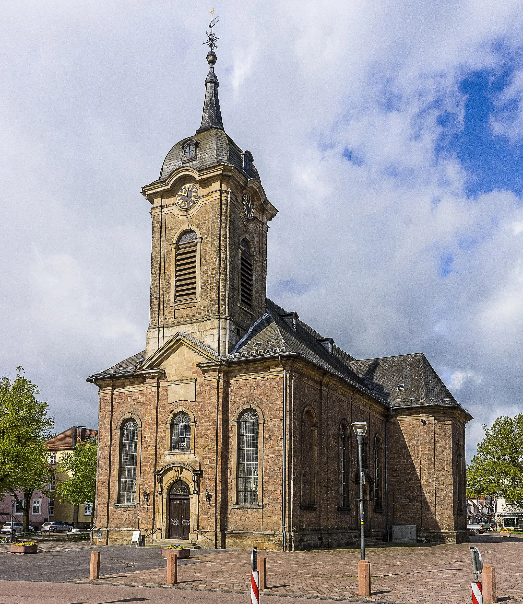
GoddelsheimVillageGoddelsheim, at the 13 kilometer mark, is a charming village with half-timbered houses and a historic church.
28 km
28 km
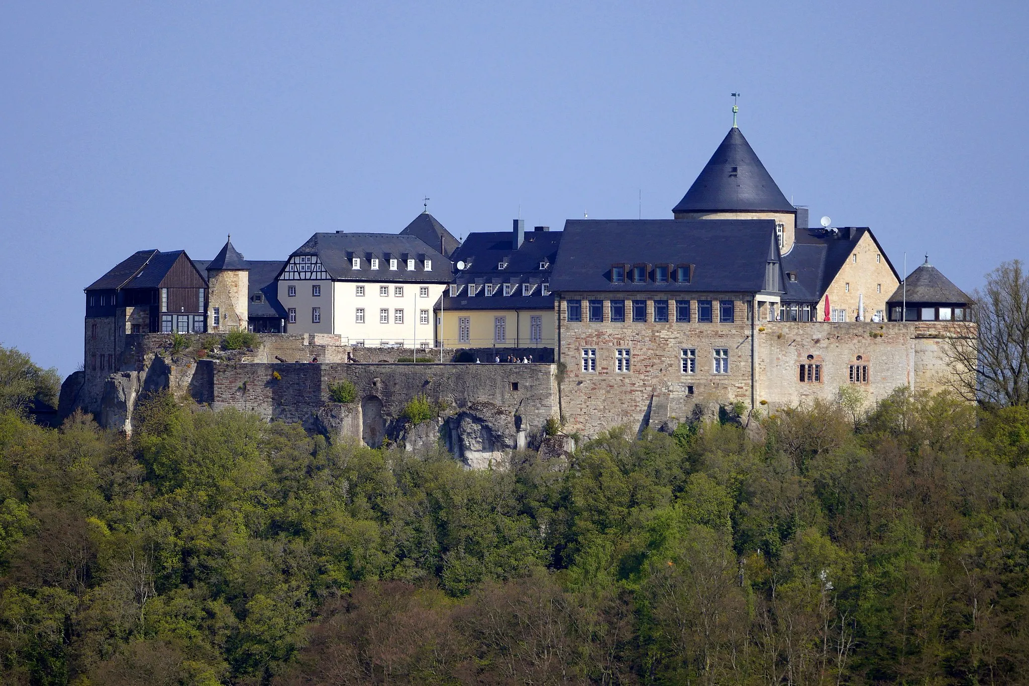
DüdinghausenVillageDüdinghausen, at the 28 kilometer mark, is known for its well-preserved medieval castle.
33 km
33 km
Osterkopf708 mPeakOsterkopf, at the 33 kilometer mark, is a popular hiking spot with breathtaking views.
51 km
51 km
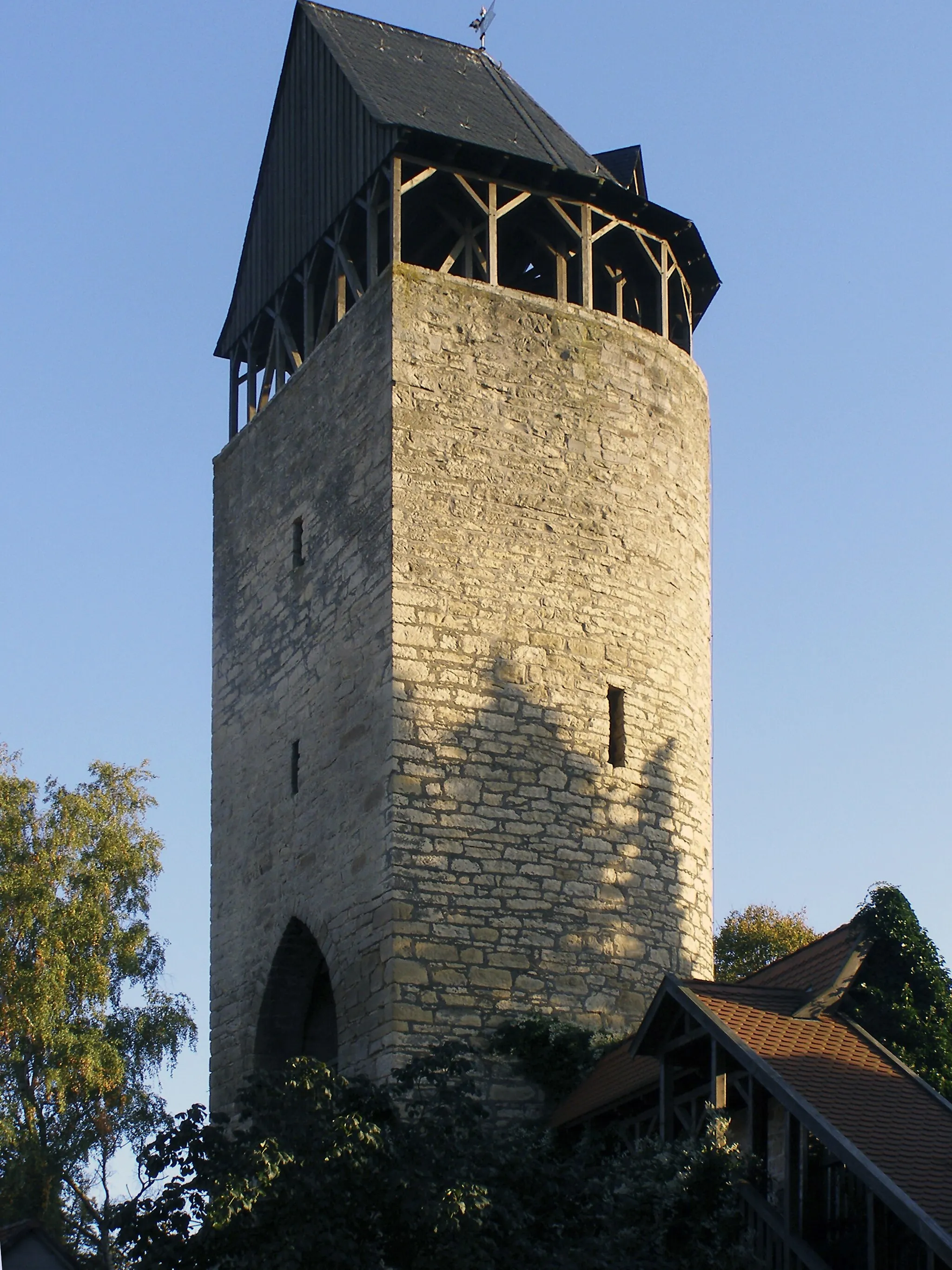
Bilstein622 mPeakBilstein Castle, at the 51 kilometer mark, is a famous landmark in the region, offering a glimpse into the area's history.
57 km
57 km
NehdenVillageNehden, at the 57 kilometer mark, is a small village known for its traditional timber-framed houses.
70 km
70 km
Bad WünnenbergTownBad Wünnenberg, at the 70 kilometer mark, is a spa town with natural springs and beautiful parks.
90 km
90 km
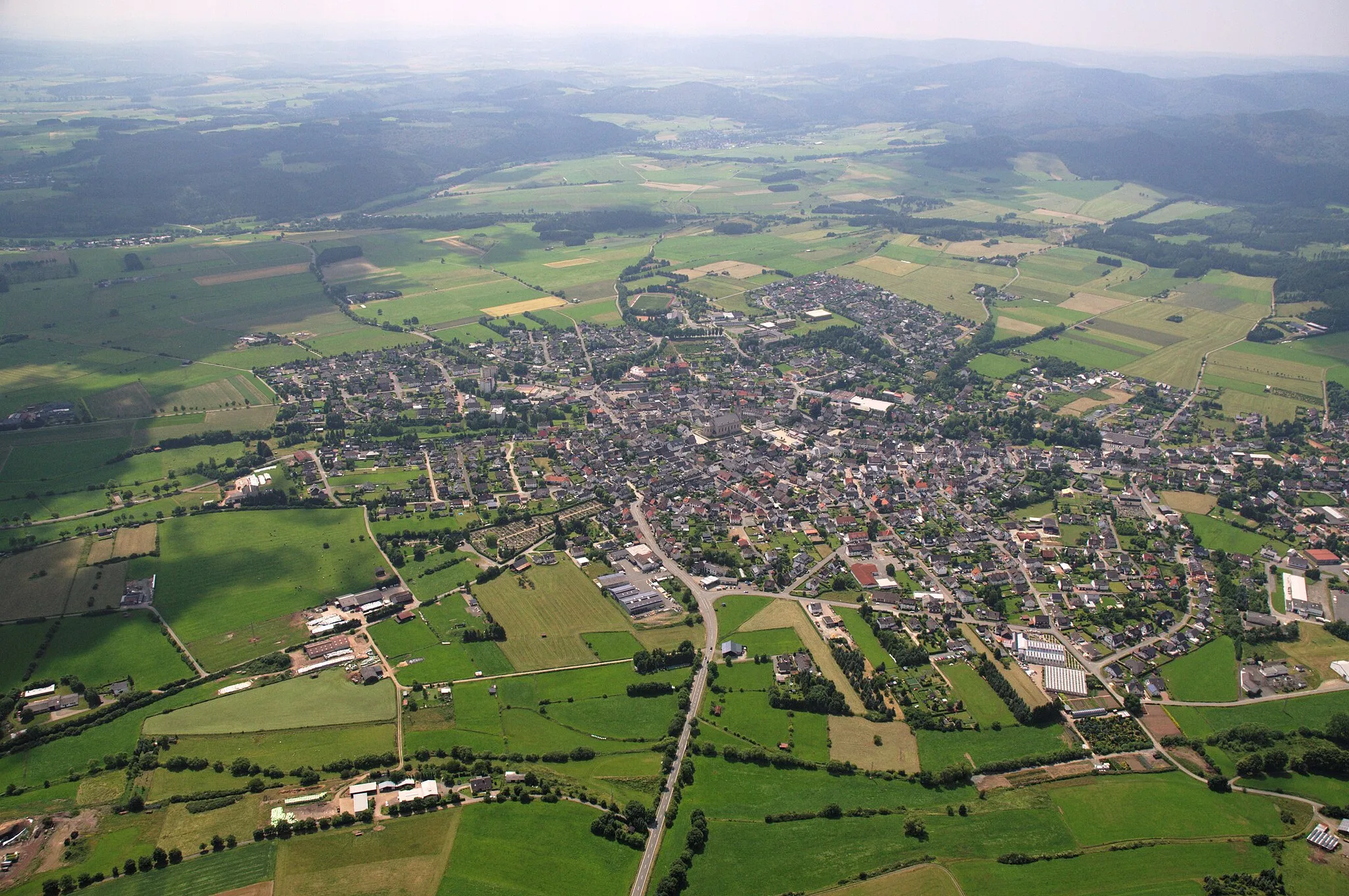
OesdorfVillageOesdorf, at the 90 kilometer mark, is an idyllic village surrounded by rolling hills and fields.
93 km
93 km
Dahlberg305 mPeakDahlberg, at the 93 kilometer mark, is a quiet hamlet with a historic mill.
107 km
107 km
Kulikekopf322 mPeakKulikekopf, at the 107 kilometer mark, offers stunning panoramic views of the nearby Edersee lake.
115 km
115 km
HelsenVillageHelsen, at the 115 kilometer mark, is a quaint village with a beautifully preserved half-timbered barn.
126 km
126 km
Kohlhagen376 mPeakKohlhagen, at the 126 kilometer mark, is a scenic viewpoint overlooking a pristine forest.
131 km
131 km
HöringhausenVillageHöringhausen, at the 131 kilometer mark, is located on the shores of the Edersee lake and offers recreational activities.
142 km
142 km
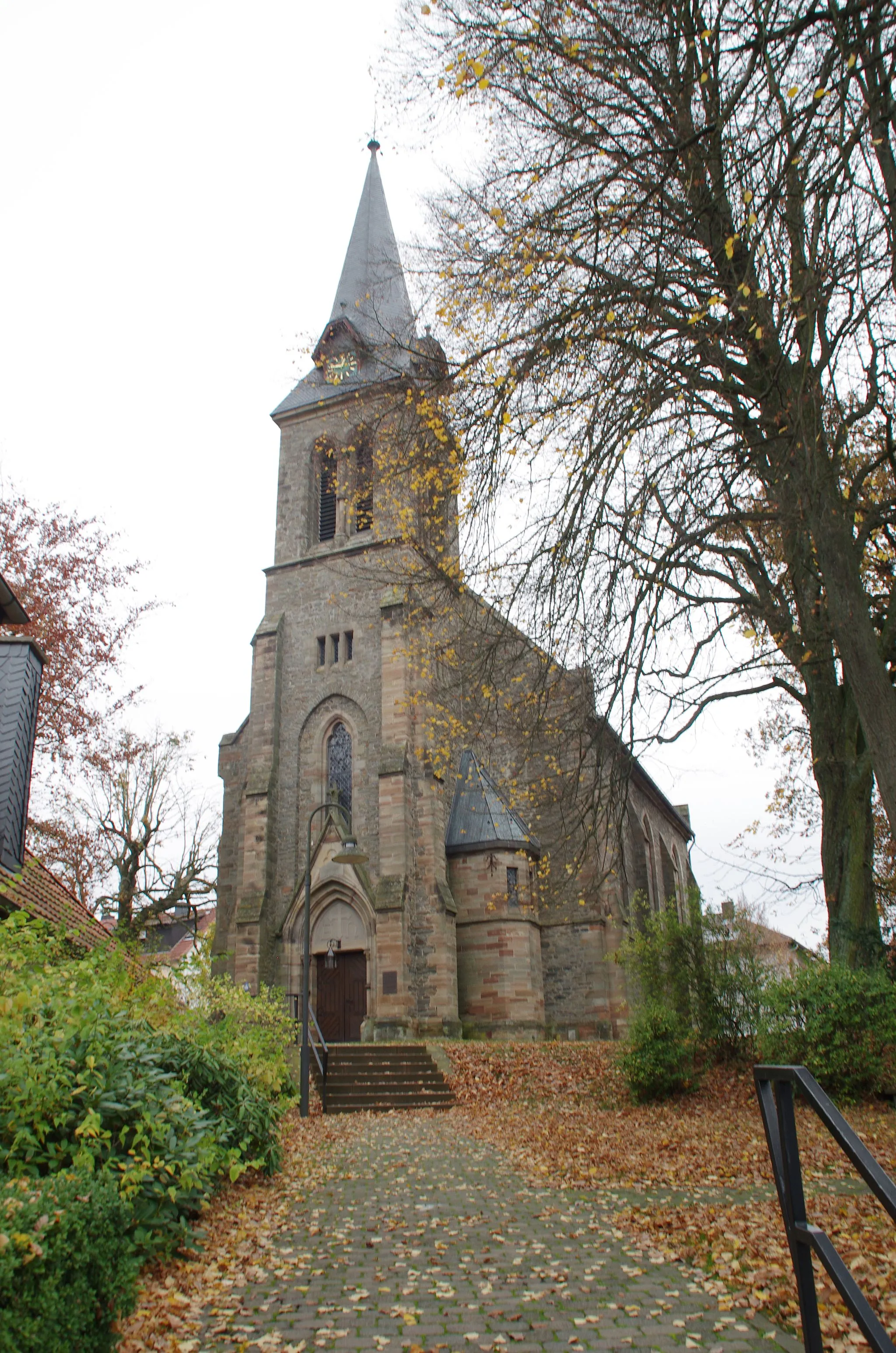
VöhlVillageVöhl, at the 142 kilometer mark, is the starting point and ending point of the ride. It is a historical village with traditional architecture.
143 km
143 km
Katzenberg323 mPeakKatzenberg, at the 143 kilometer mark, offers stunning vistas and is a popular spot for paragliding.
144 km
144 km
Finish: Asel Village centerVöhl: Vöhl - Scenic Cycling in a Picturesque Landscape
Cycling routes nearby: