The Hillside Adventure
A road cycling route starting from Argenthal
Embark on a thrilling road cycling adventure through hilly landscapes and charming villages.
Map
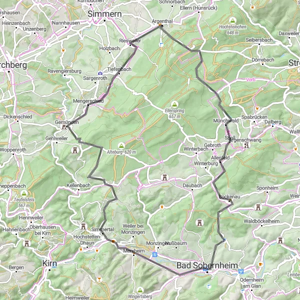
Embark on a 71 km road cycling adventure through picturesque hills and scenic valleys. With an elevation gain of 1051 meters, this route provides a mix of moderate climbs and thrilling descents. Explore the charming villages and enjoy magnificent views throughout your journey.
road
71 km
1051 m
Tough
Route profile
Highlights on the route
0 km
0 km
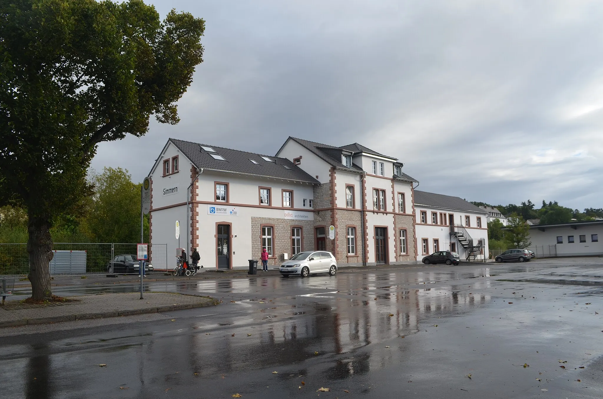
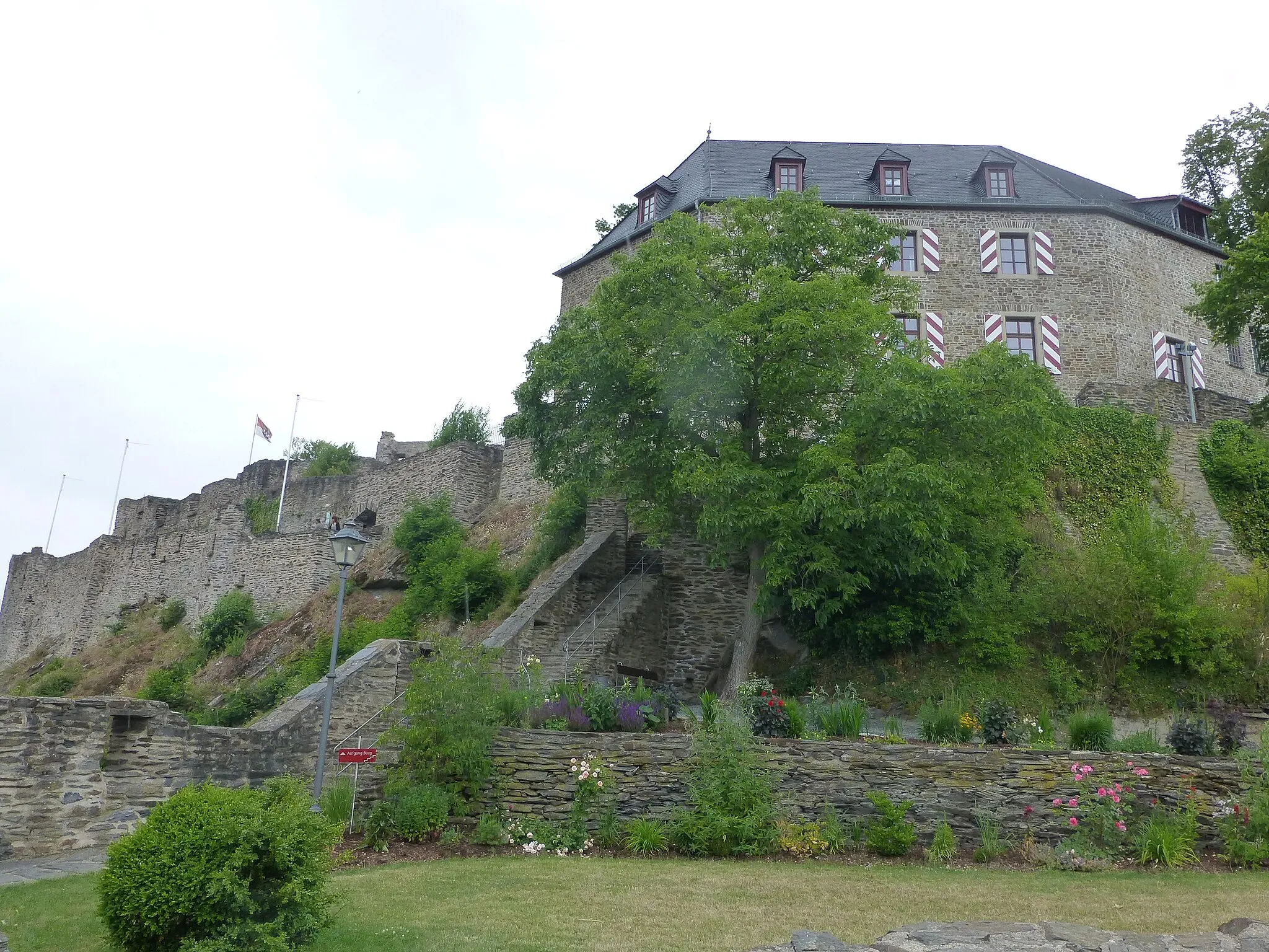
Start: Argenthal Village centerArgenthal: Scenic routes and challenging terrains.
Argenthal is a locality located in Koblenz, Germany. As a cyclist, you'll find Argenthal to be a moderately interesting area for road and gravel cycling. While it does not boast any legendary climbs or famous cycling-related spots directly within the locality, the region offers challenging terrains and scenic routes in its proximity. Cyclists can explore the picturesque landscapes of Koblenz and enjoy challenging rides on nearby hills. Argenthal provides cycling enthusiasts with worthwhile adventures.4 km
4 km
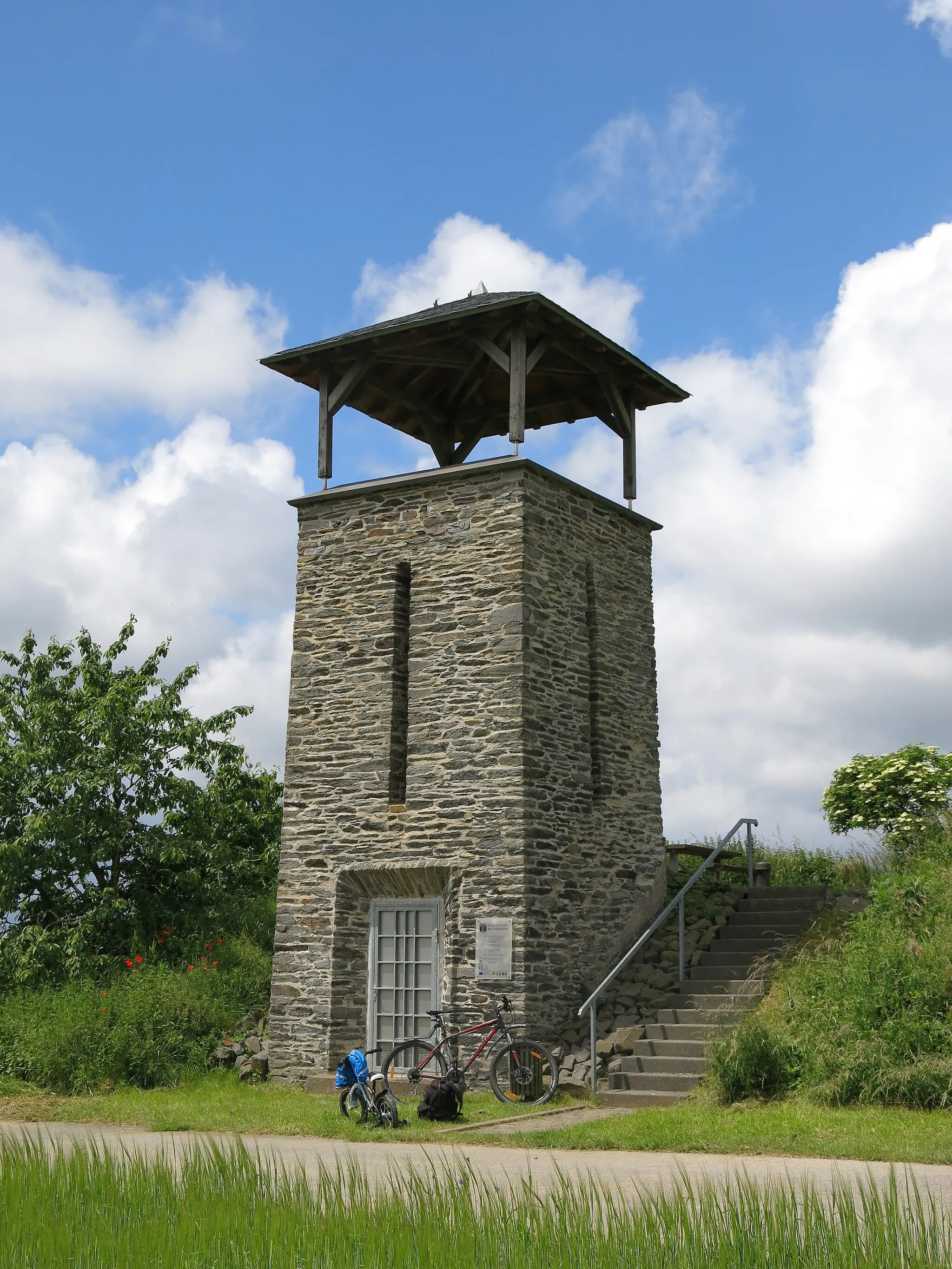
Schanzerkopf643 mPeakAt Schanzerkopf, take in the beautiful views of the surrounding countryside and enjoy a well-deserved rest.
16 km
16 km
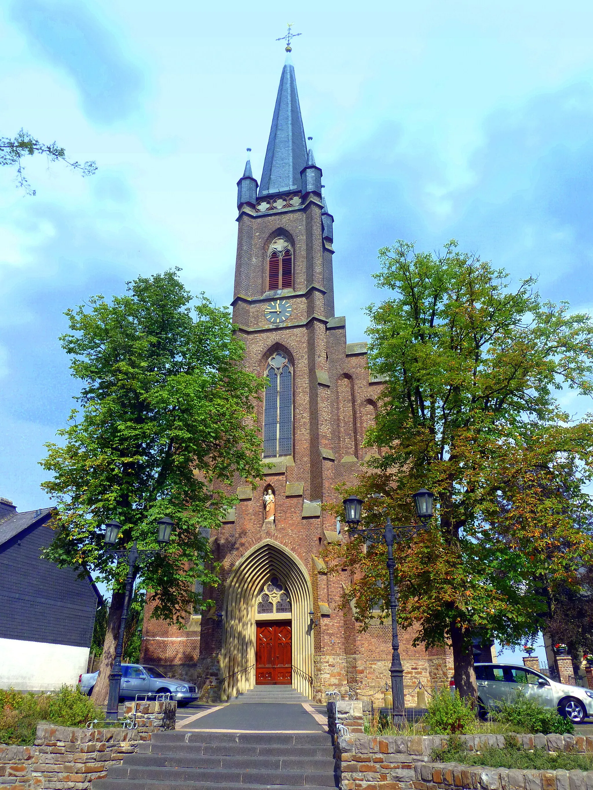
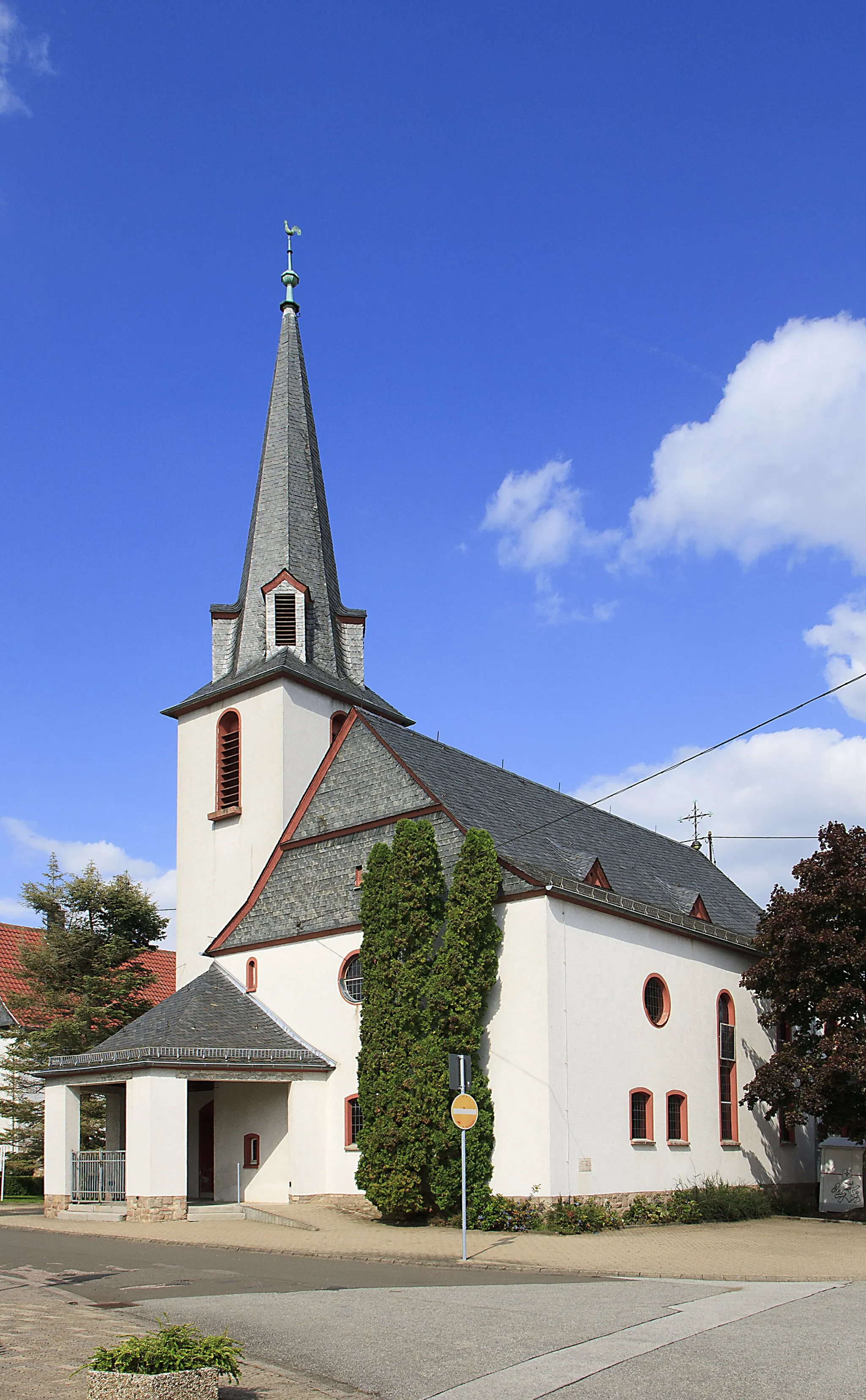
AllenfeldVillageVisit Allenfeld and discover its historical charm and scenic landscapes.
33 km
33 km
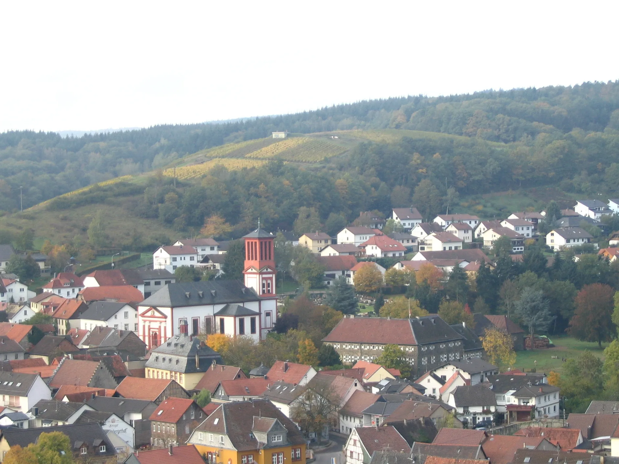
MeddersheimVillageMeddersheim is famous for its vineyards and offers a chance to experience excellent wine tasting during your ride.
39 km
39 km
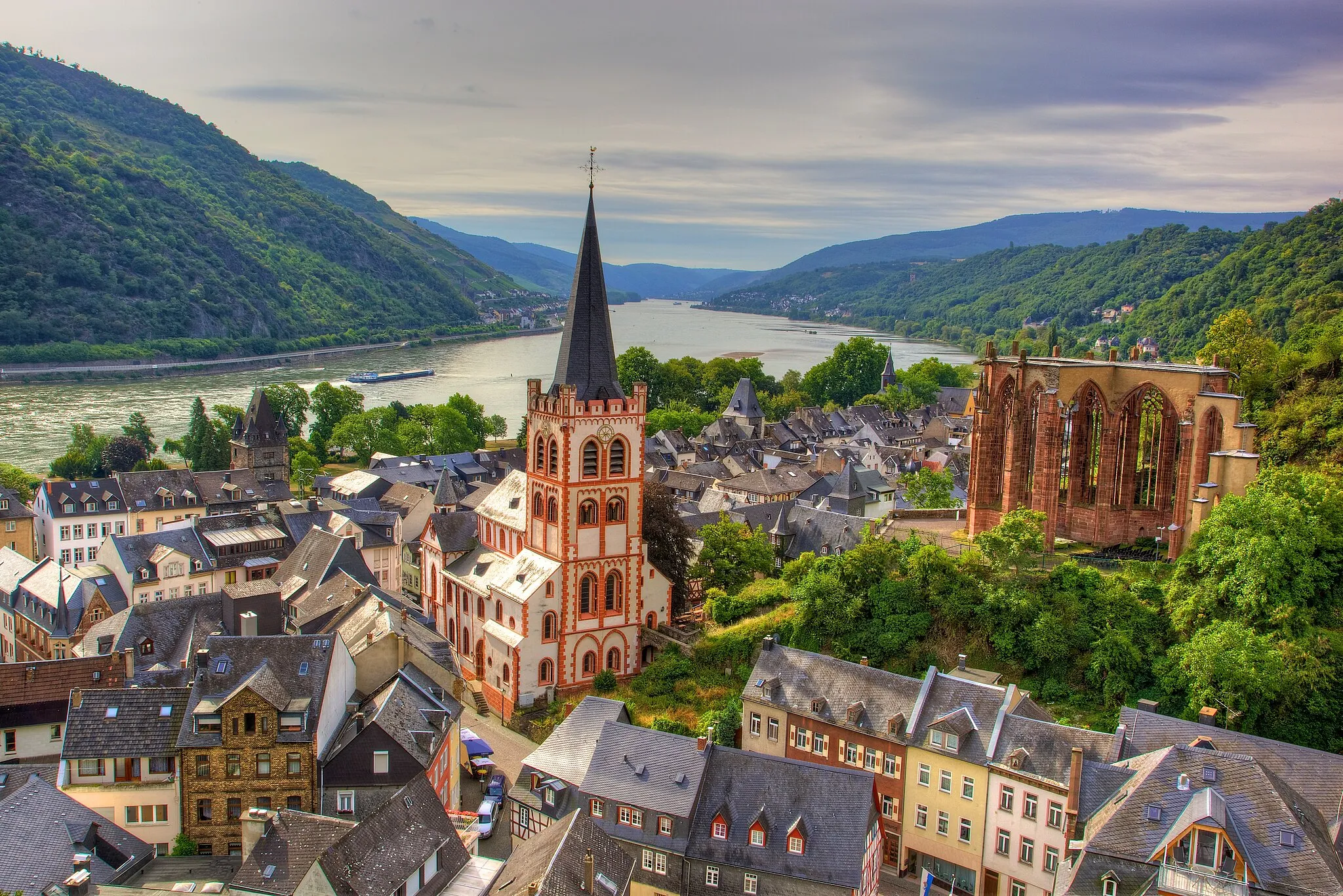
MartinsteinVillage ViewpointRest and refuel in Martinstein, a picturesque village surrounded by rolling hills and stunning natural beauty.
50 km
50 km
SchwarzerdenVillageSchwarzerden is a hidden gem with its charming half-timbered houses and tranquil atmosphere.
53 km
53 km
Gemündener Höhe560 mPeakChallenge yourself on Gemündener Höhe, a steep climb that rewards you with panoramic views of the surrounding area.
71 km
71 km
ArgenthalVillageBegin and end your journey in the delightful town of Argenthal, surrounded by beautiful countryside.
71 km
71 km
Finish: Argenthal Village centerArgenthal: Scenic routes and challenging terrains.
Cycling routes nearby: