Challenging Gravel Route near Bad Breisig
A gravel cycling route starting from Bad Hoenningen
Experience a challenging gravel route through nature near Bad Breisig.
Map
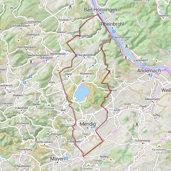
This gravel route near Bad Breisig takes you through hilly terrain, dense forests, and peaceful landscapes, providing a challenging cycling experience immersed in nature's beauty.
gravel
58 km
1100 m
Tough
Route profile
Highlights on the route
0 km
0 km
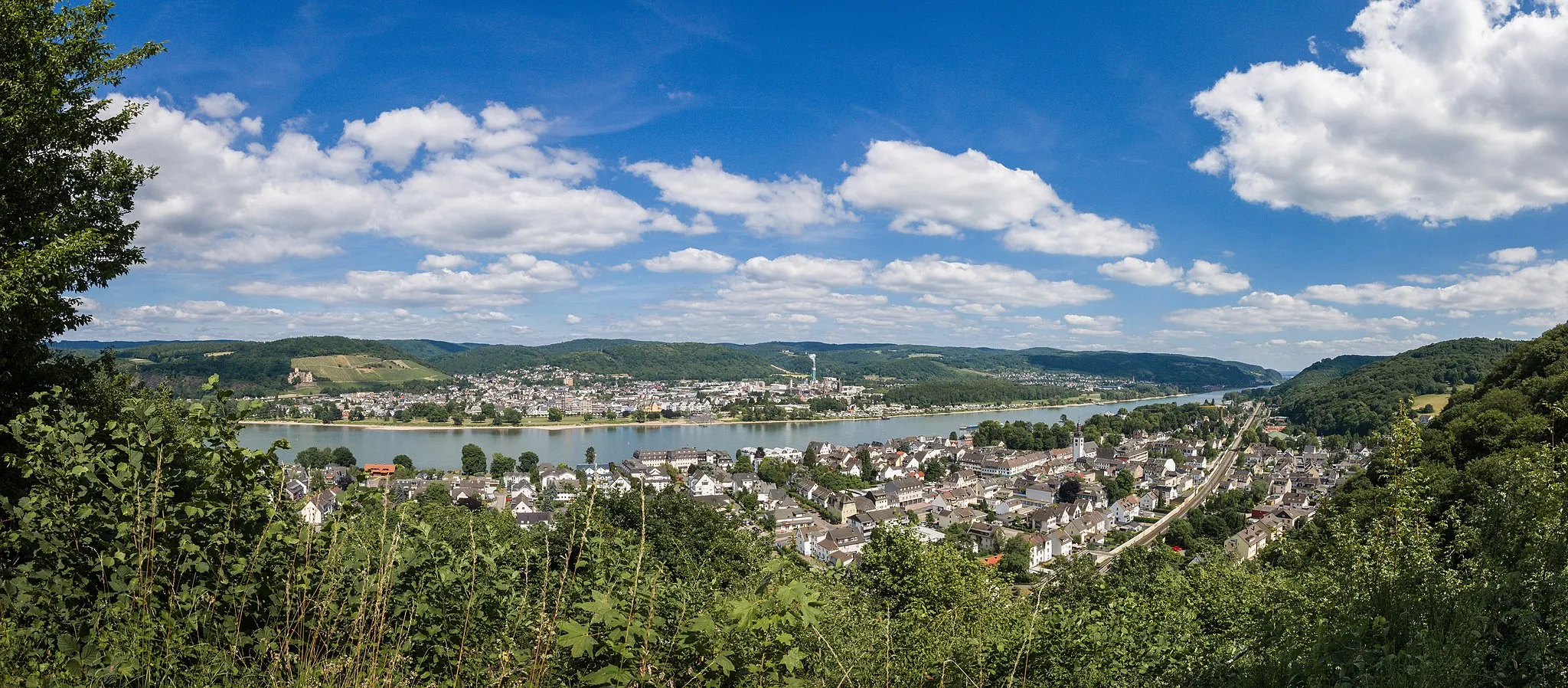
Start: Bad Breisig City centerBad Hönningen: Explore the spectacular cycling routes of Bad Hönningen in Germany.
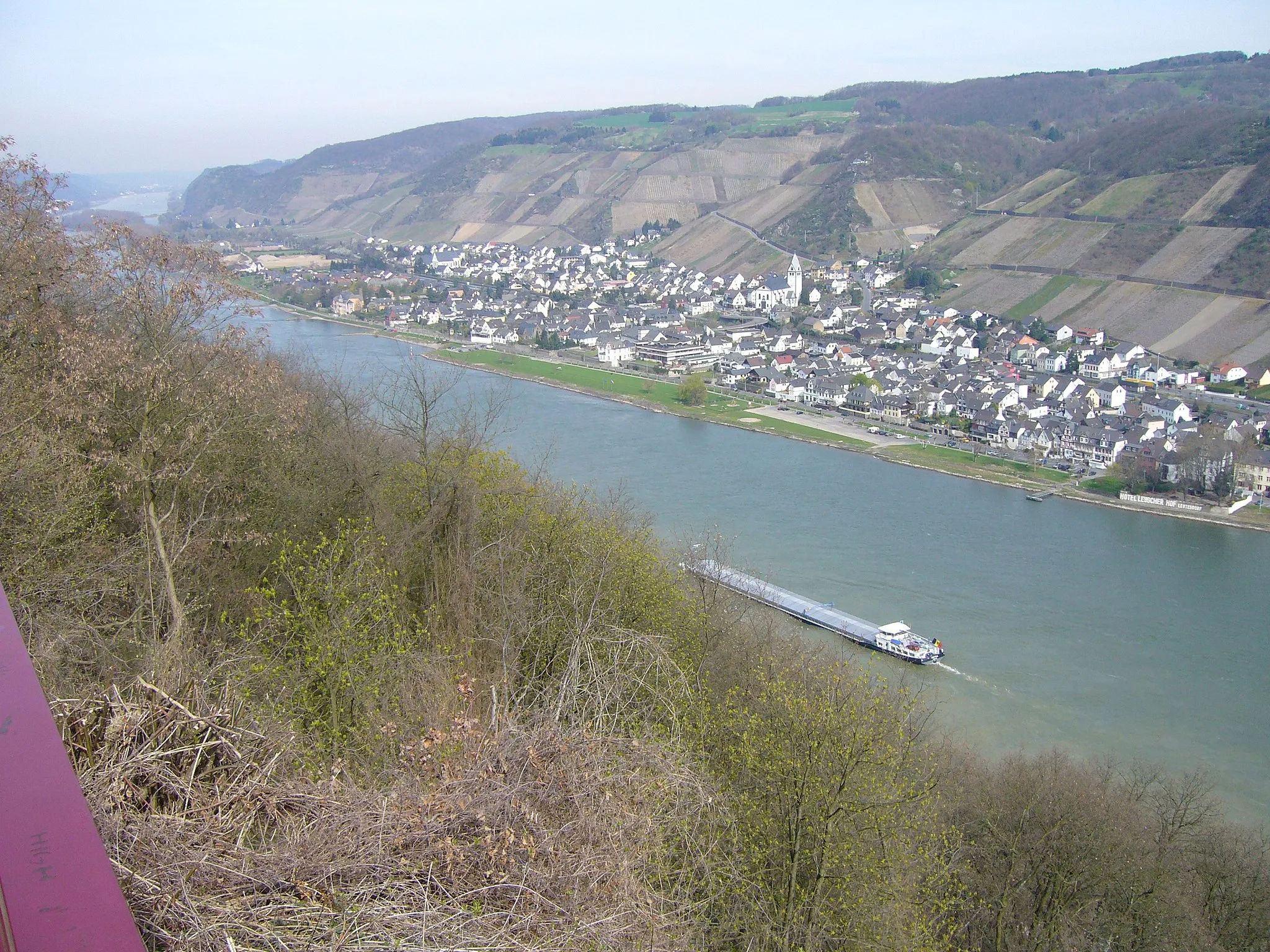
Located in Bad Hönningen, Germany, this locality offers a cyclist's paradise with its scenic roads and gravel paths. As you ride through the town, you'll be greeted by picturesque countryside views and charming landscapes. The region is especially known for its well-maintained cycling routes and bike-friendly infrastructure. Nearby, you can find the famous climb of Nürburgring, which attracts cycling enthusiasts from around the world. With its stunning scenery and cycling-friendly atmosphere, Bad Hönningen is a top destination for road and gravel cyclists.0 km
0 km
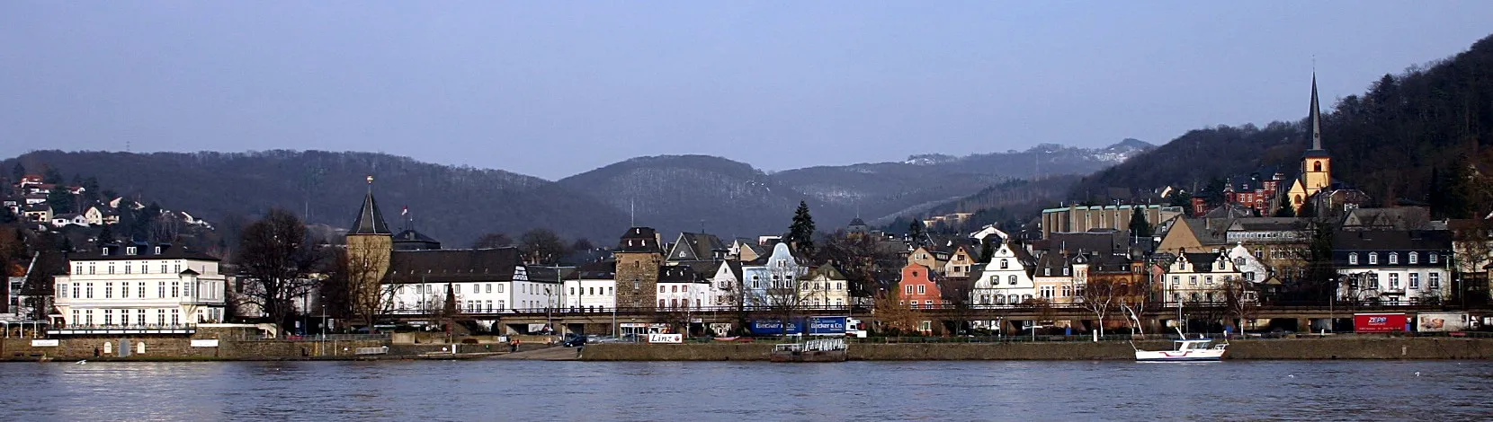
Bad BreisigTownBad Breisig is a charming spa town known for its thermal baths and scenic promenade along the Rhine River.
13 km
13 km
Hummerich424 mPeakHummerich is a quiet hamlet surrounded by thick forests and offers beautiful panoramic views over the Eifel region.
29 km
29 km
Hausener Berg224 mPeakHausener Berg is a steep hill with challenging uphill sections, rewarded with stunning vistas of the countryside and distant valleys.
31 km
31 km
KottenheimVillageKottenheim is a historic village with picturesque half-timbered houses and narrow streets, providing a glimpse into the region's past.
39 km
39 km
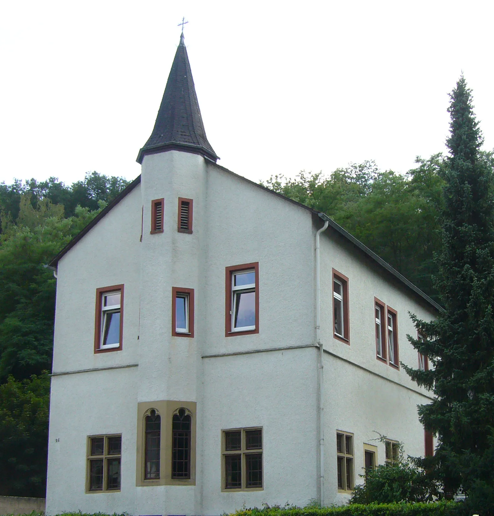
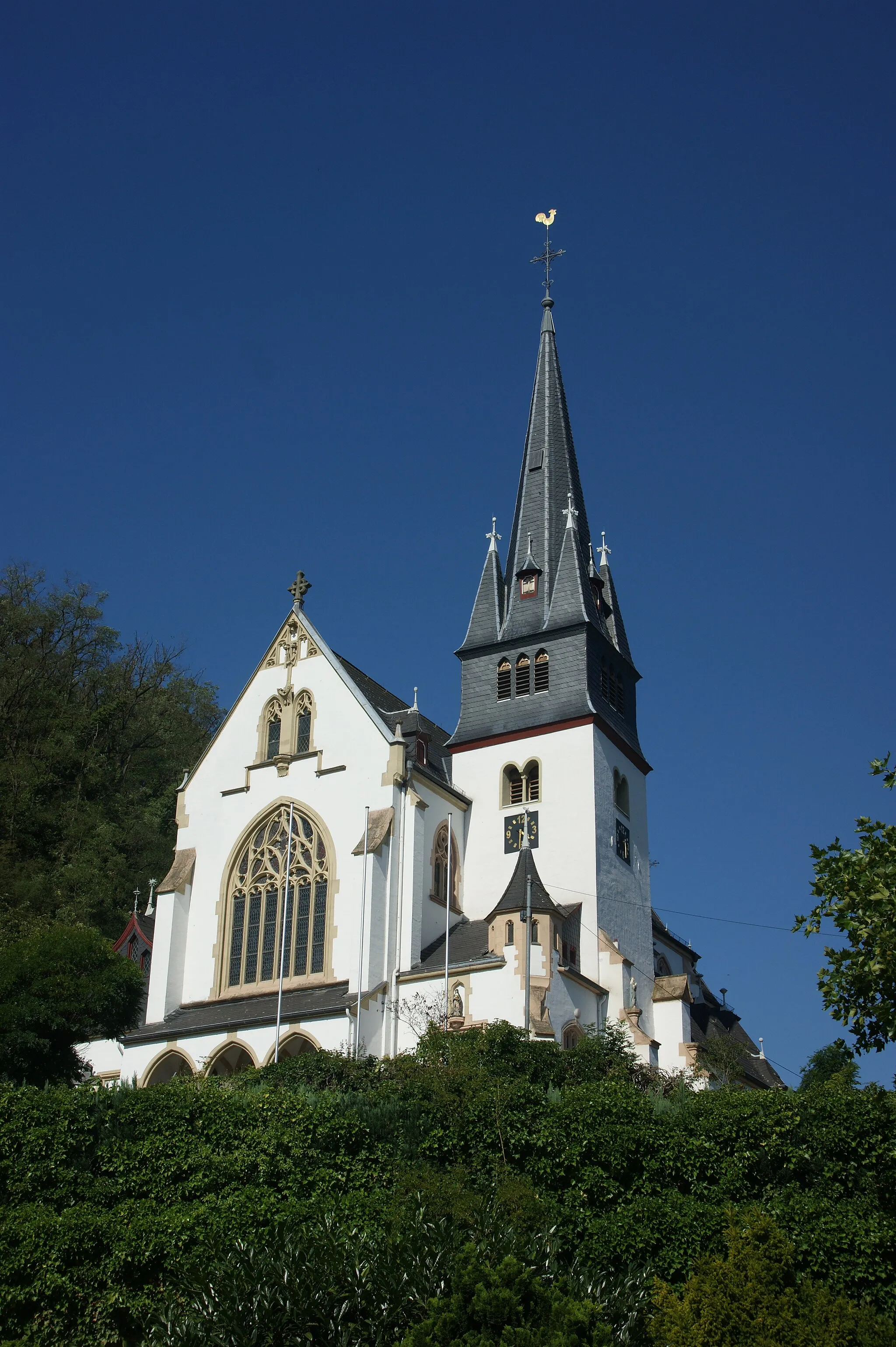
Benediktinerabtei Maria LaachAttractionBenediktinerabtei Maria Laach is a beautiful abbey surrounded by the Laacher See, offering a serene and scenic setting perfect for a peaceful break.
40 km
40 km
Laacher Kopf443 mPeakLaacher Kopf is a prominent volcanic cone that rewards visitors with breathtaking views over the Eifel region and the scenic Laacher See.
53 km
53 km
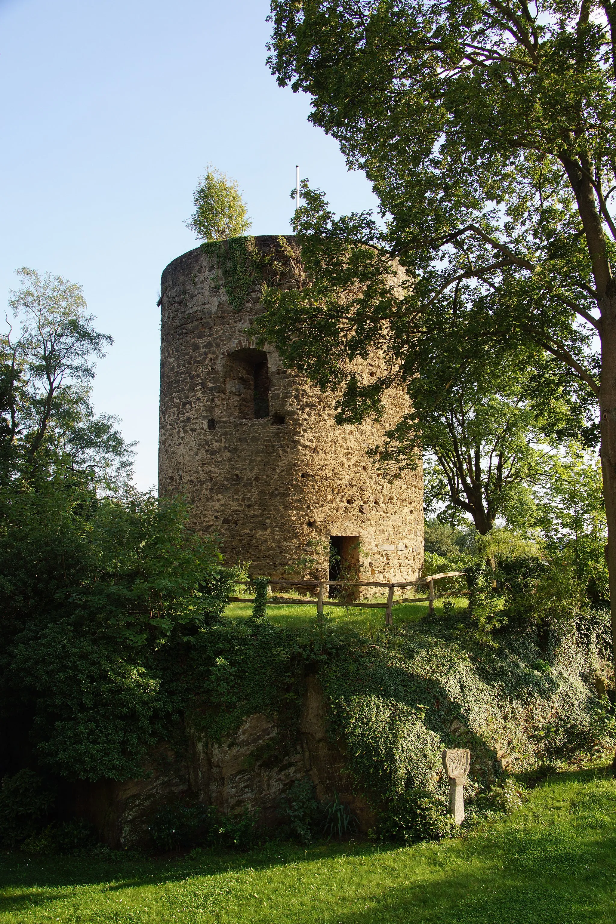
GönnersdorfVillageGönnersdorf is a small village with archeological sites, showcasing prehistoric settlement remains that are intriguing for history buffs.
56 km
56 km
Trotzenberg207 mPeakTrotzenberg is the highest point of the route, offering a magnificent panorama of the Rhine Valley and the surrounding mountains.
58 km
58 km
Finish: Bad Breisig City centerBad Hönningen: Explore the spectacular cycling routes of Bad Hönningen in Germany.
Cycling routes from Bad Hoenningen:
A Gravel Journey through Nature Rolling Hills and Breathtaking Views Scenic Road Cycling in Bad Hönningen Gravel Tour through Bad Hönningen The Grand Gravel Adventure The Rheinsteig Challenge Challenging Gravel Route near Bad Breisig Gravel Adventure to Drachenfels Cycling Through History Road Cycling Adventure to Koblenz
Cycling routes nearby: